
Quick report
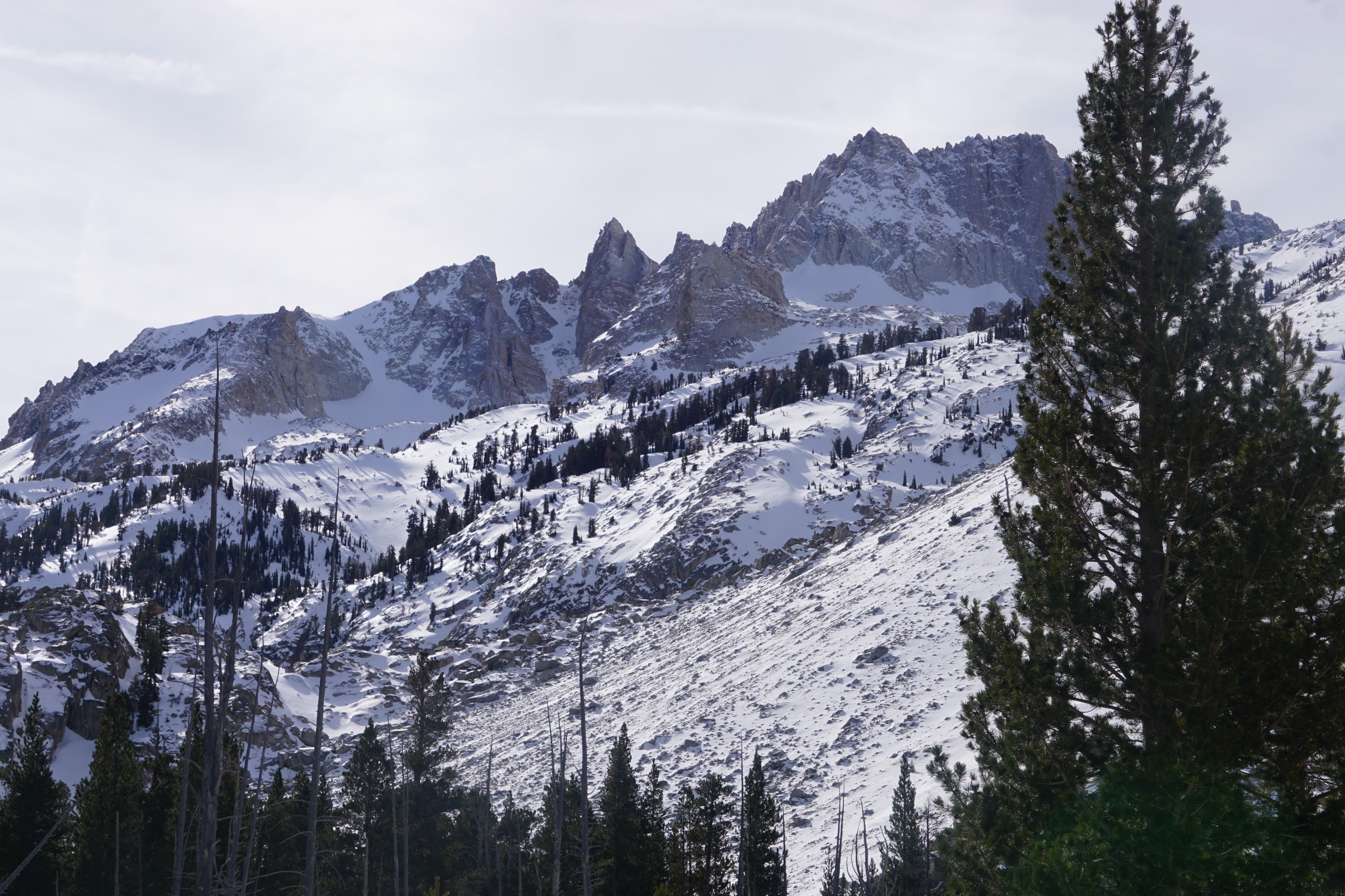
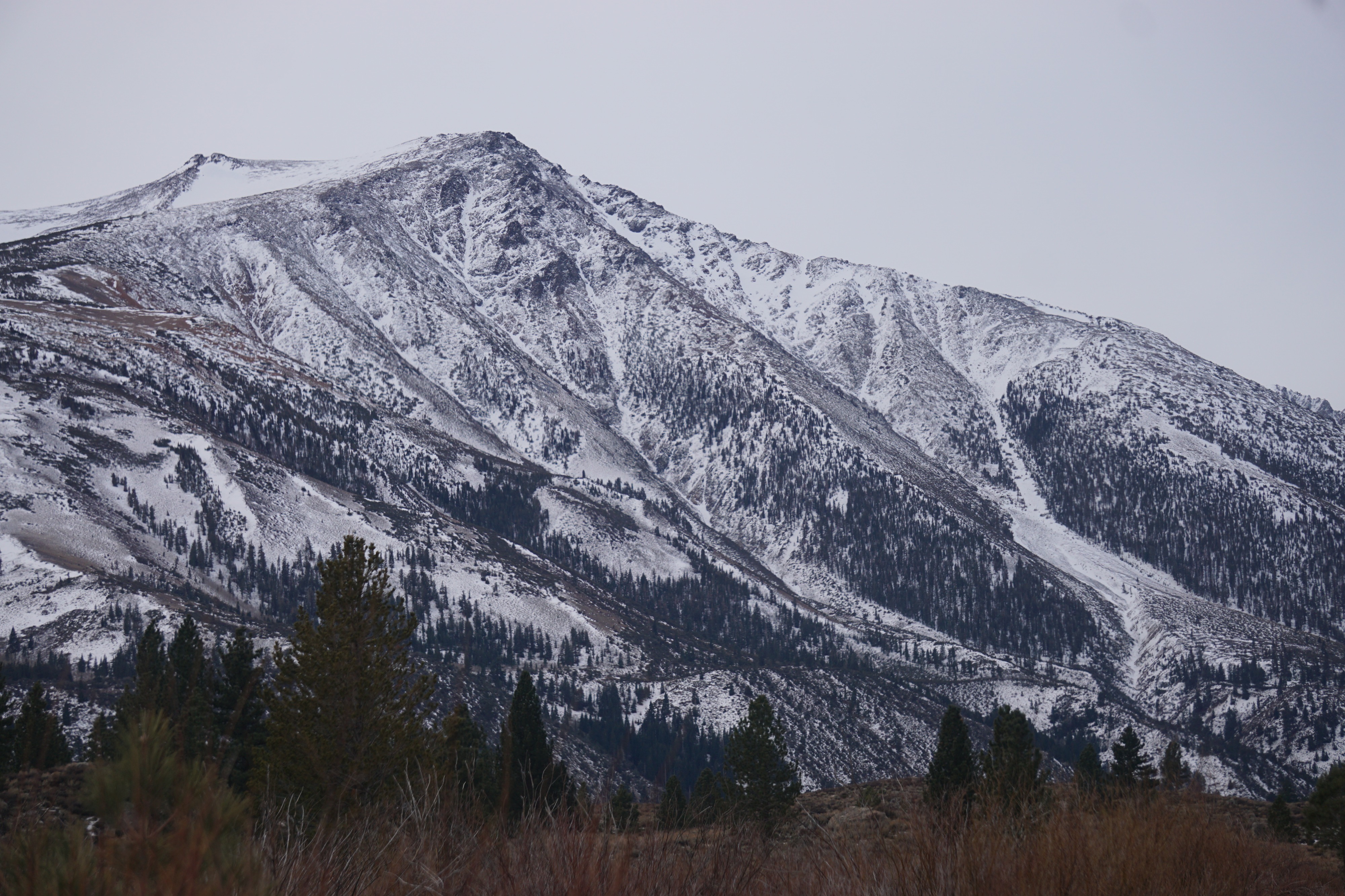
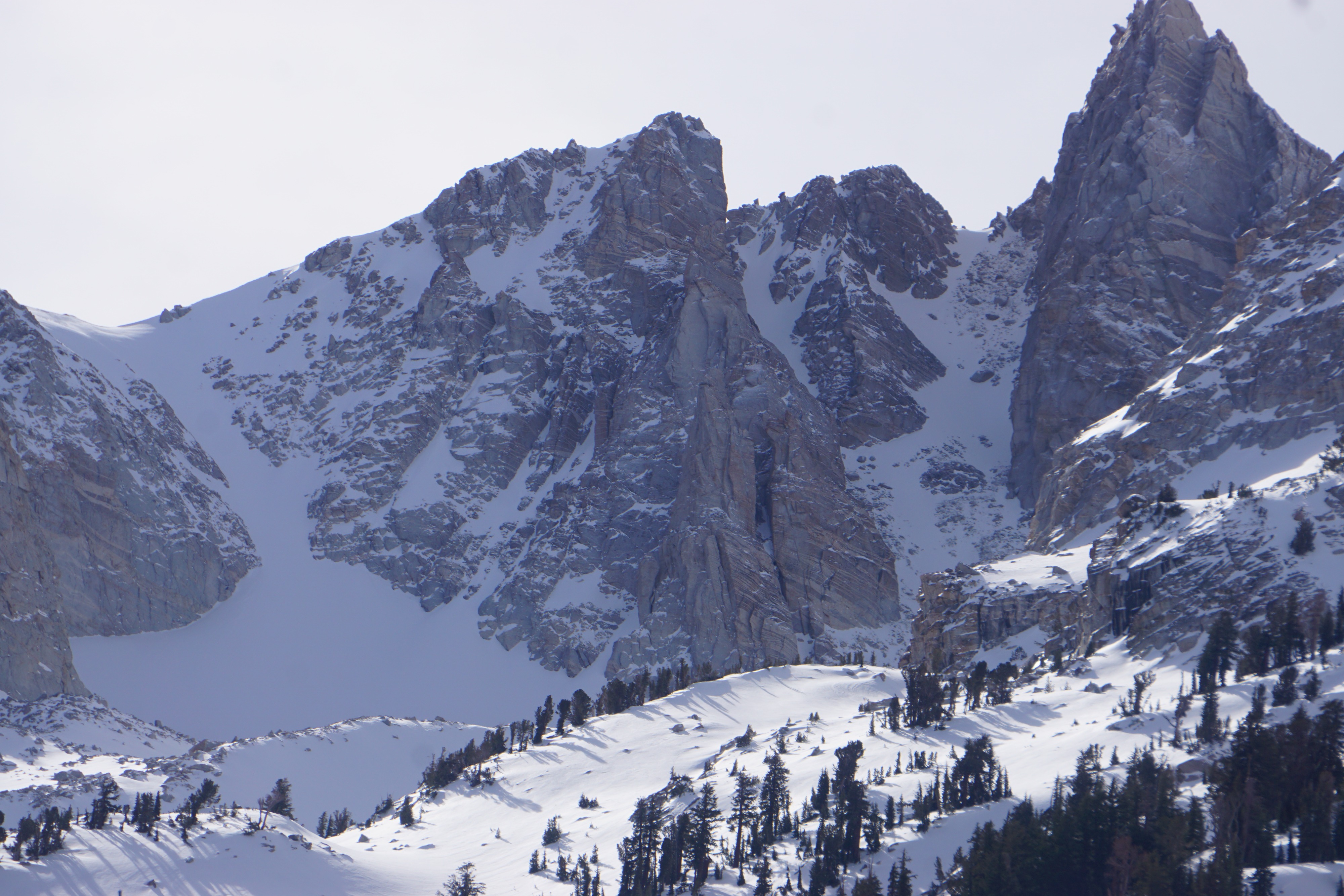
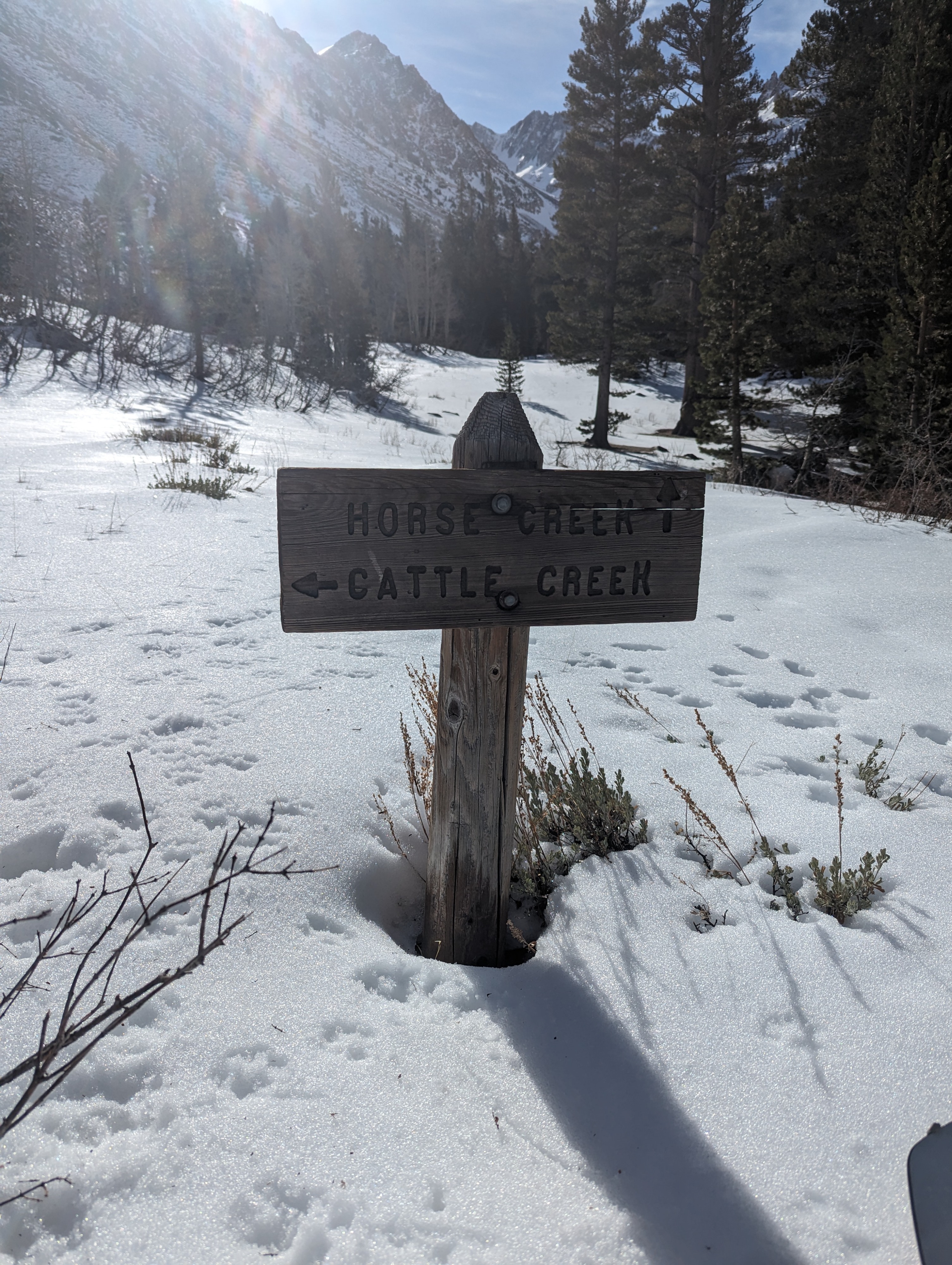
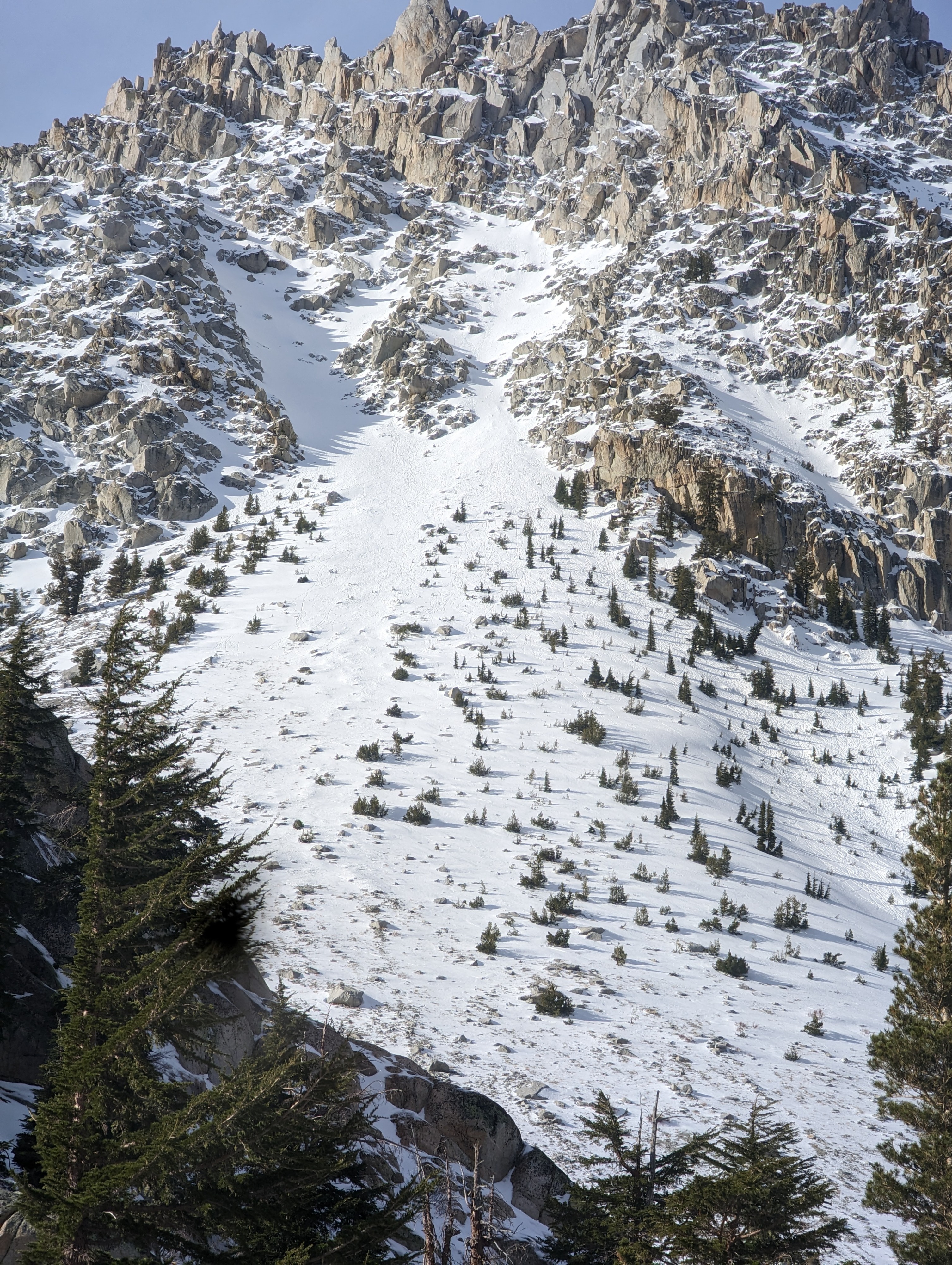
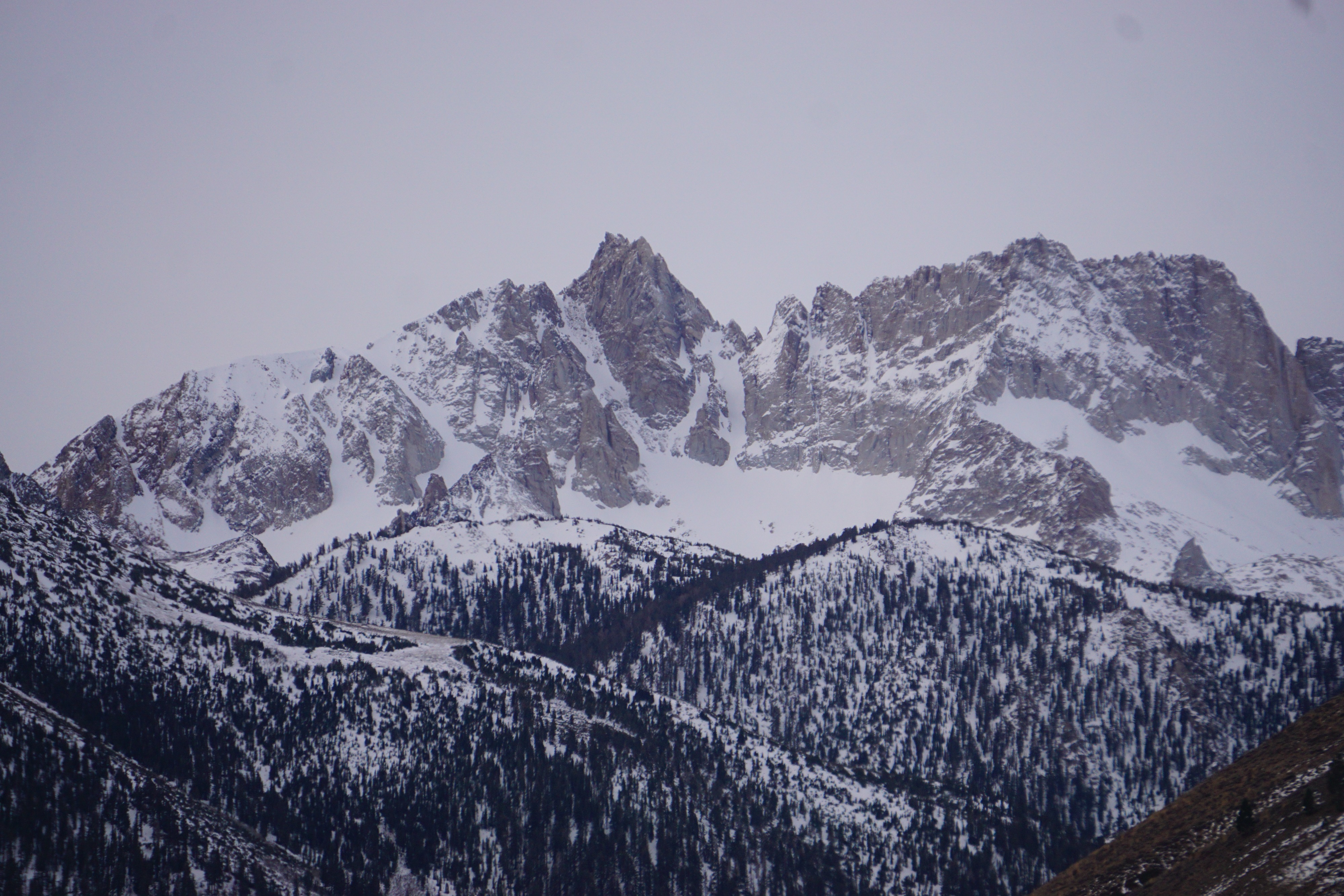
I went for a quick walk up into the Horse Creek drainage to get eyes on some of our highest elevations in the area. The hiking trail was just that today since i hiked the first 700 feet before there was enough snow to put skis on. Even then coverage was minimal and progress was slow because of intermittent dry patches. I was able to see a few points releases on East aspects. Typically South and West aspects are the usual suspects for the first signs of rapid warming causing snow instability, but there was no snow coverage on W or S-facing slopes. N aspects were still shaded by the shallow winter sun angle. A conversation in the parking lot informed me that other parties were seeing a weak layer of facets in the base of the snowpack. Snow depth and coverage appear much better up high in the location of the Matterhorn glacier, this is likely due to lingering snow fields from last winter. It may be much thinner than meets the eye. With short winter days and a difficult ski into the Twin Lakes area, it may be a while until we venture higher into the drainage.
Point releases on E,S and W aspect resulting in rollerballsWeather
- Air Temp
- 45
- Cloud Cover
- clear
- Wind Loading
- none
- Snow Avail For Transport
- none
Almost no wind at all, and clouds departed the area by mid-morning. The air temperature was very warm