
Quick report
I traveled in the Middle Fork corridor to take a look at things following several days of rain and warm temperatures.
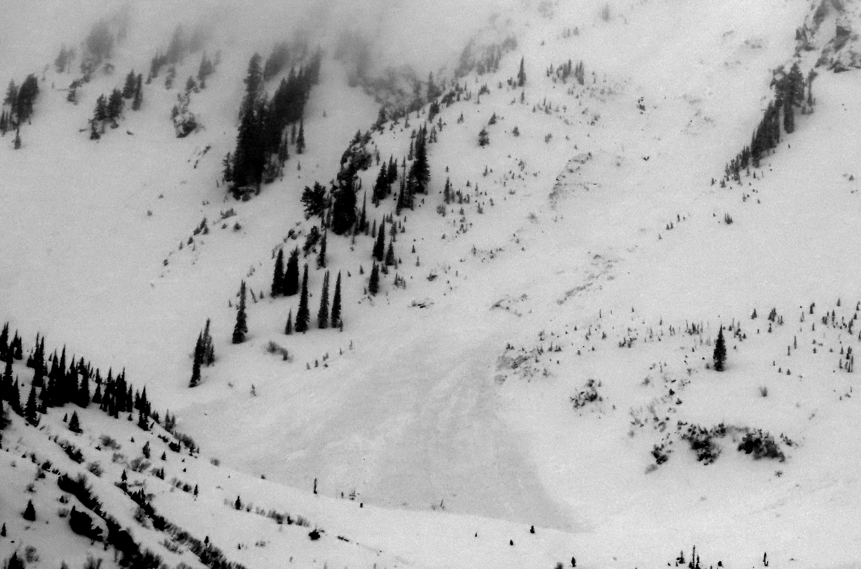
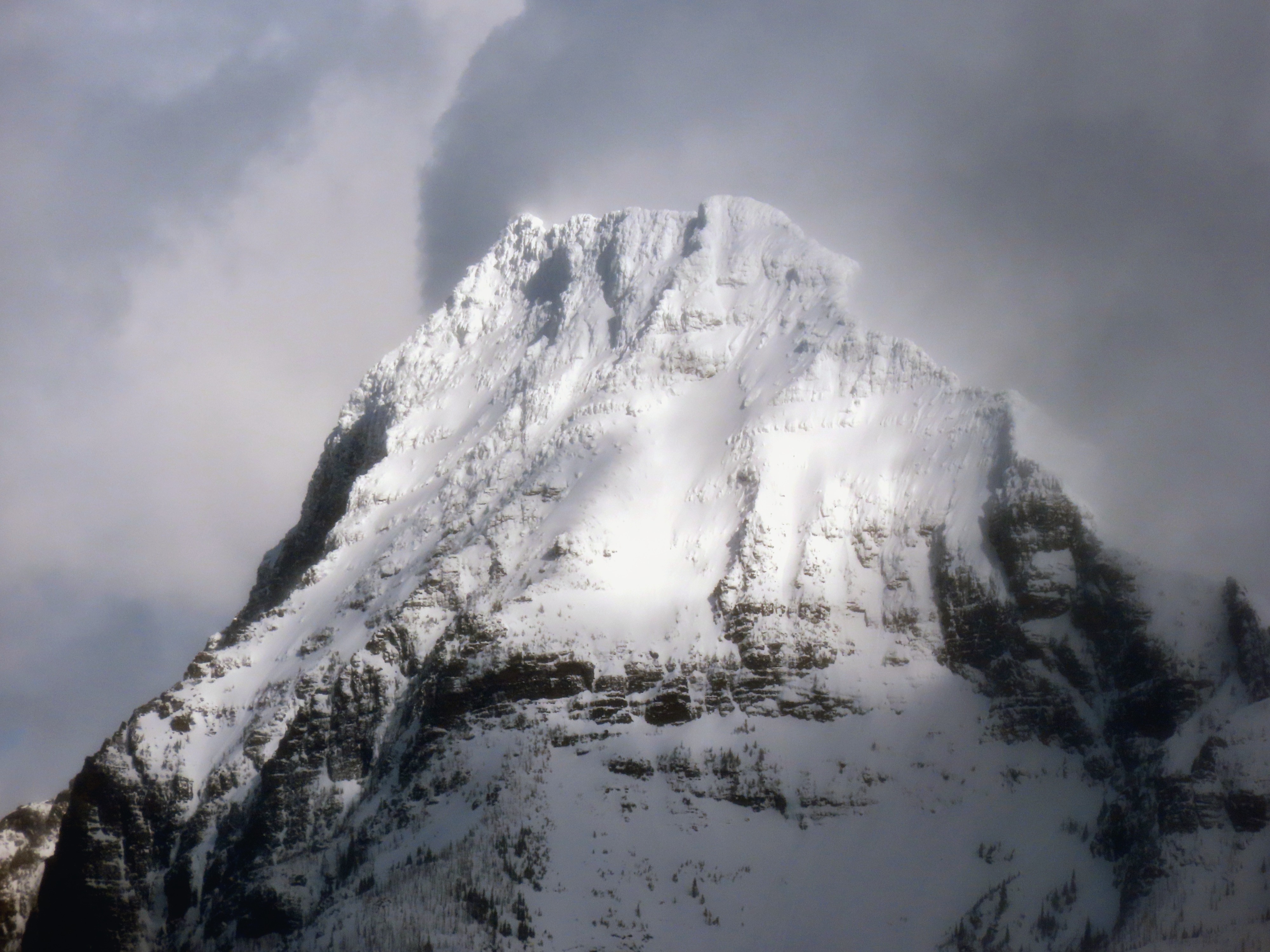
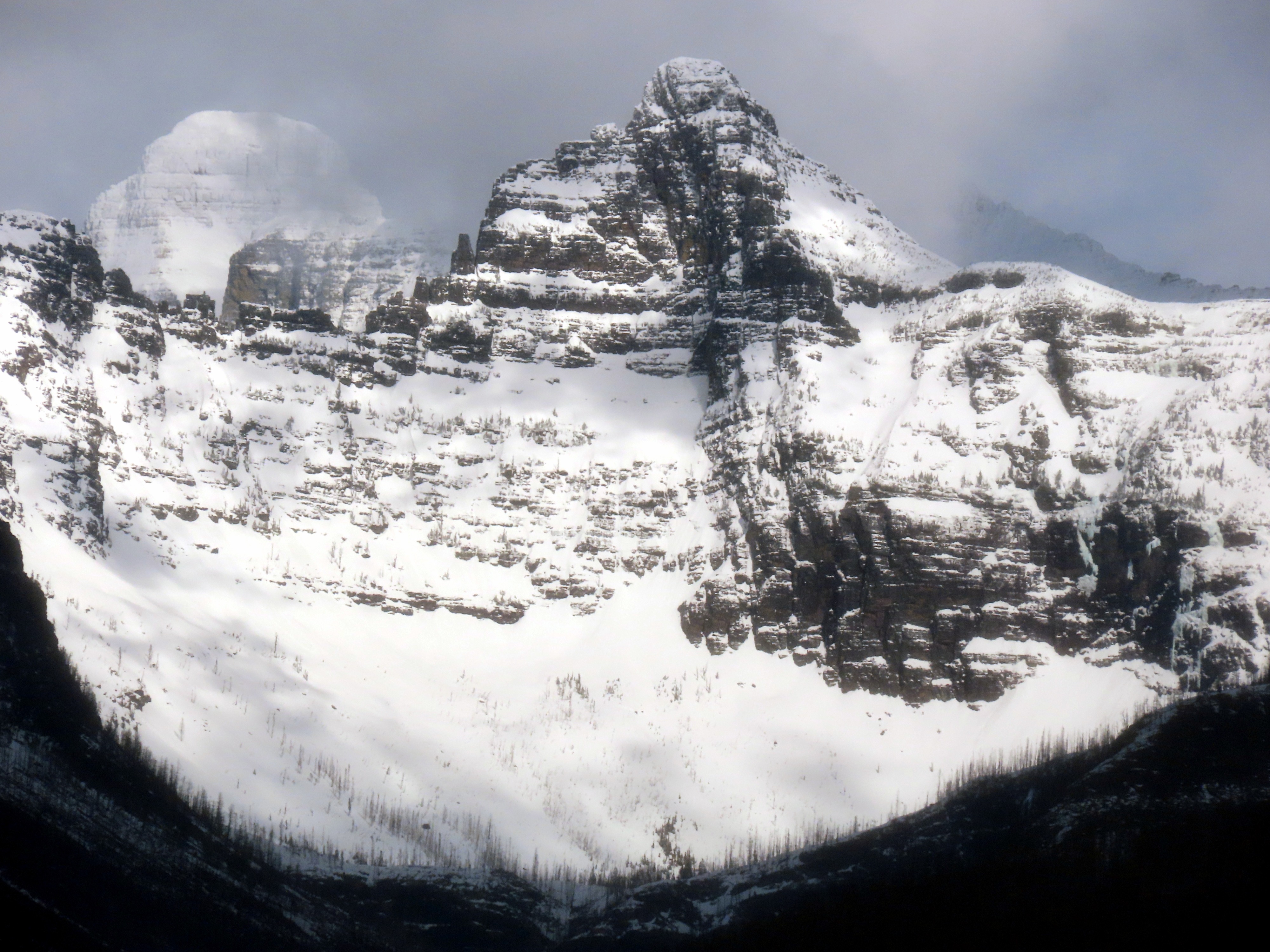
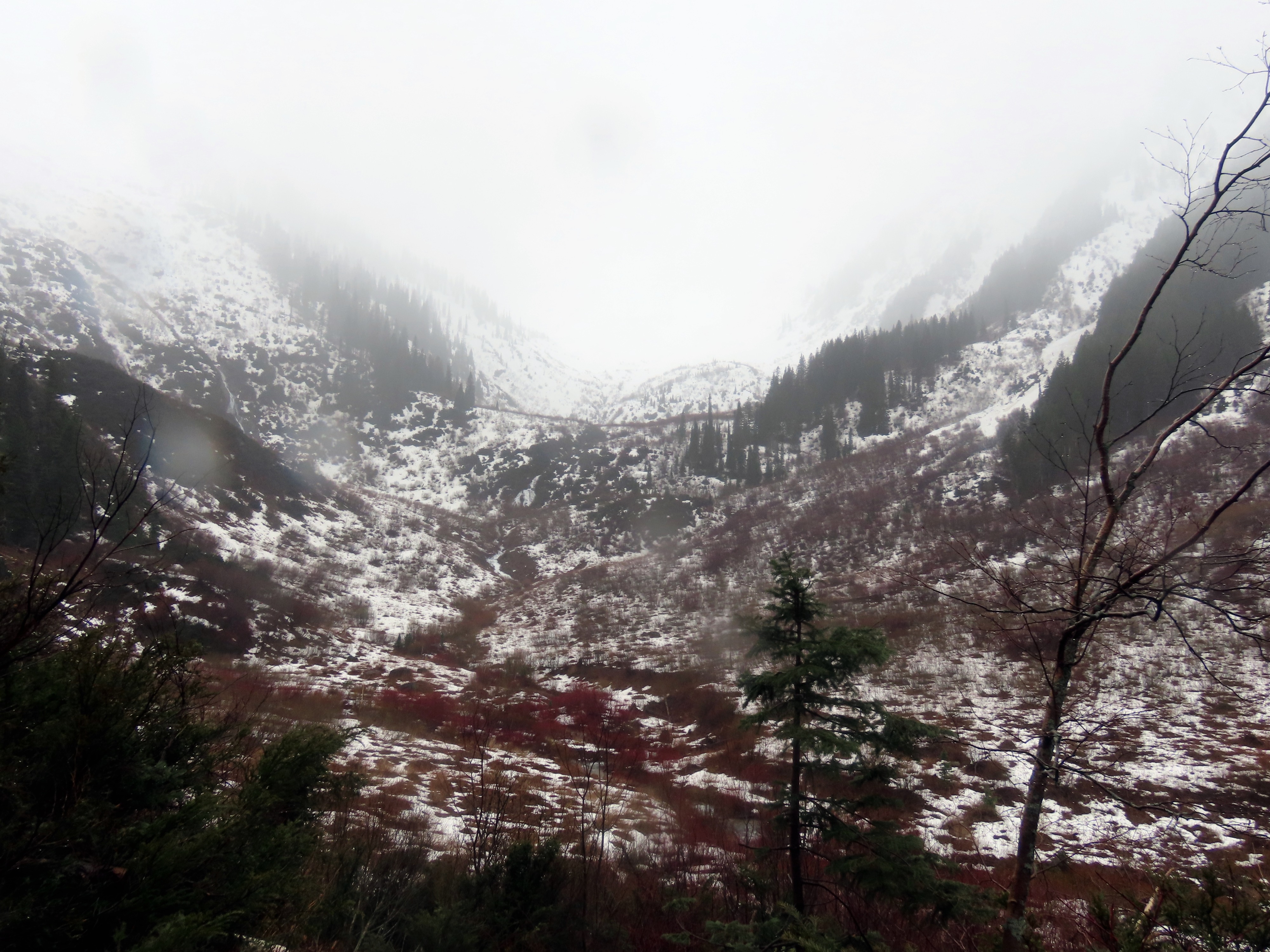
- Visibility was generally poor, preventing views of many of the avalanche paths in the vicinity. I was unable to see many north-facing paths, but it did not appear that any large debris piles associated with the JDL reached the valley floor.
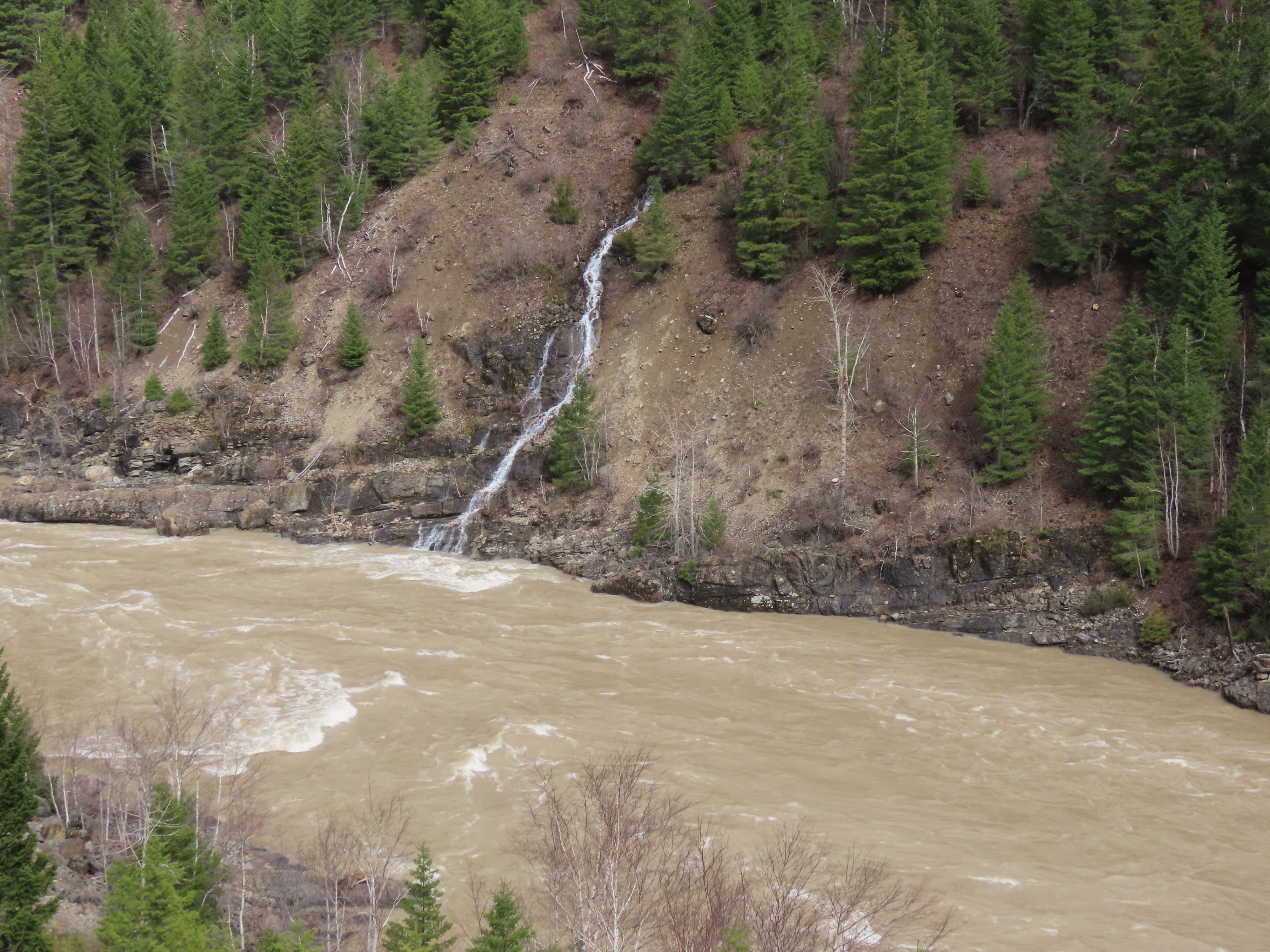
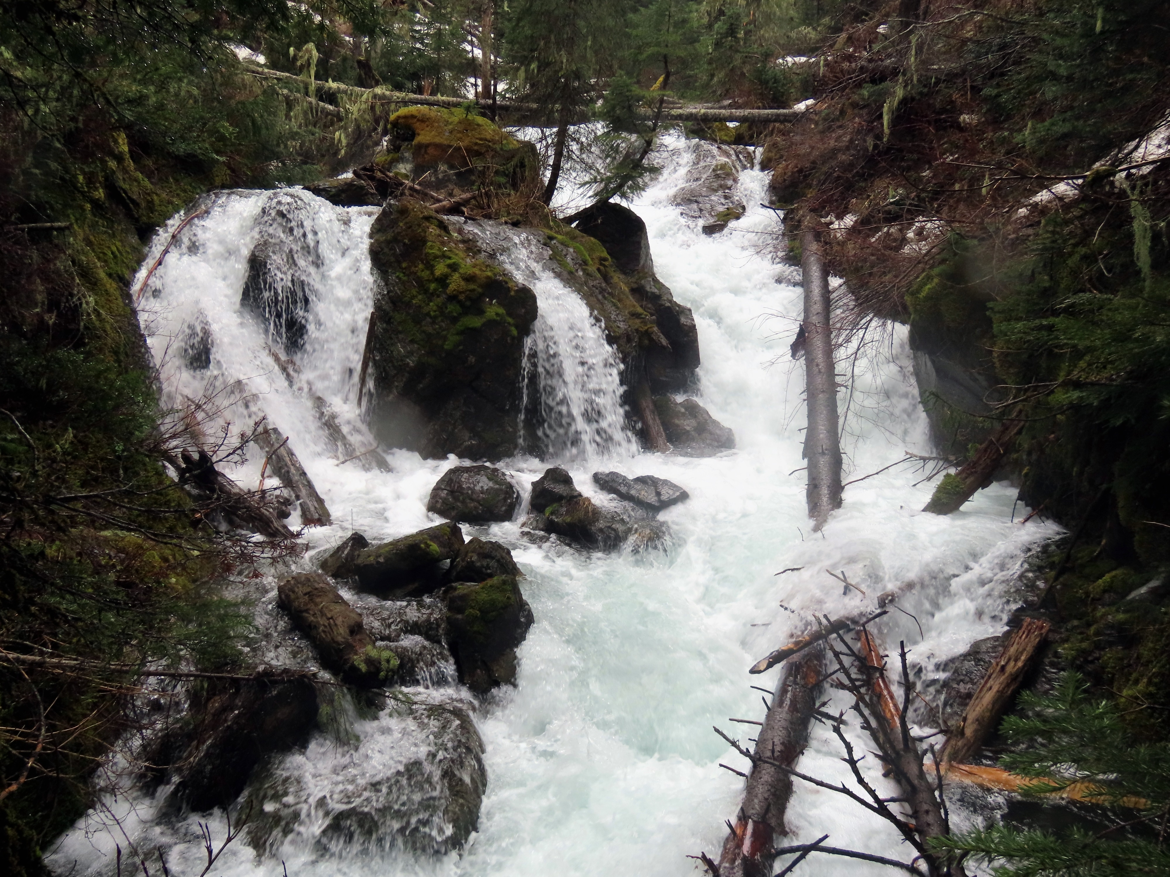
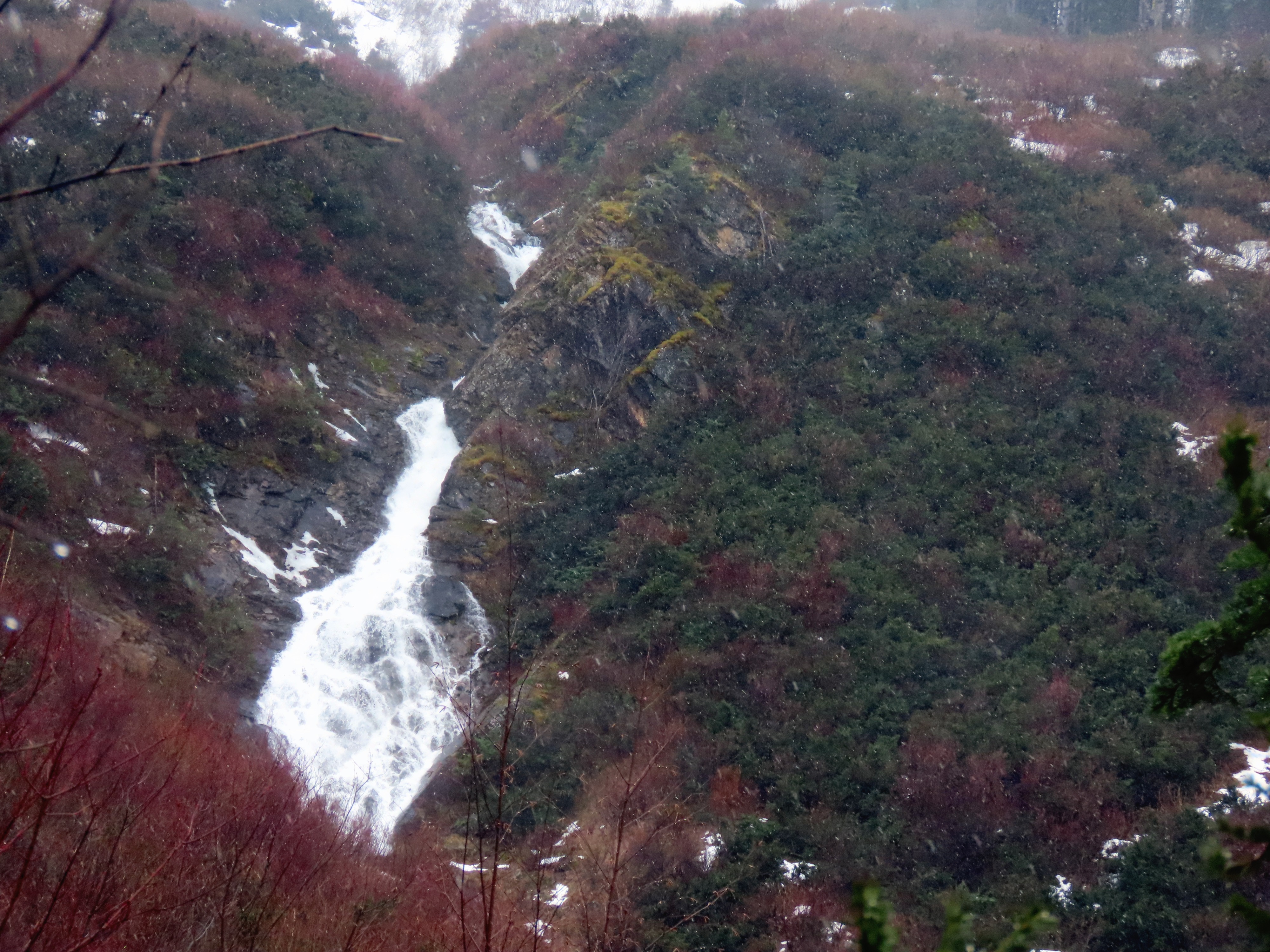
- Waterfalls were abundant, and the Middle Fork River was running at 13000 cfs, nine times higher than last weekend.
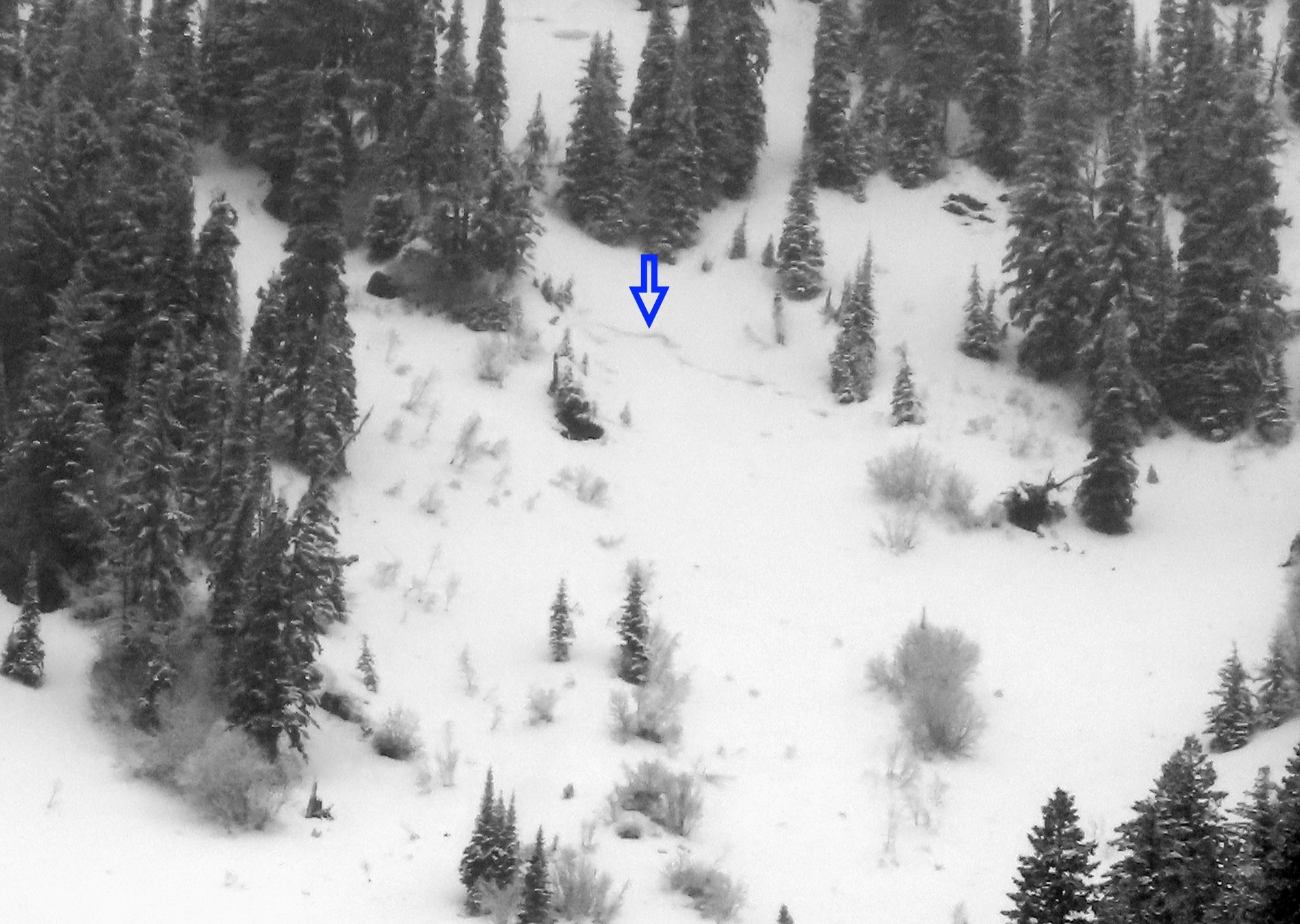
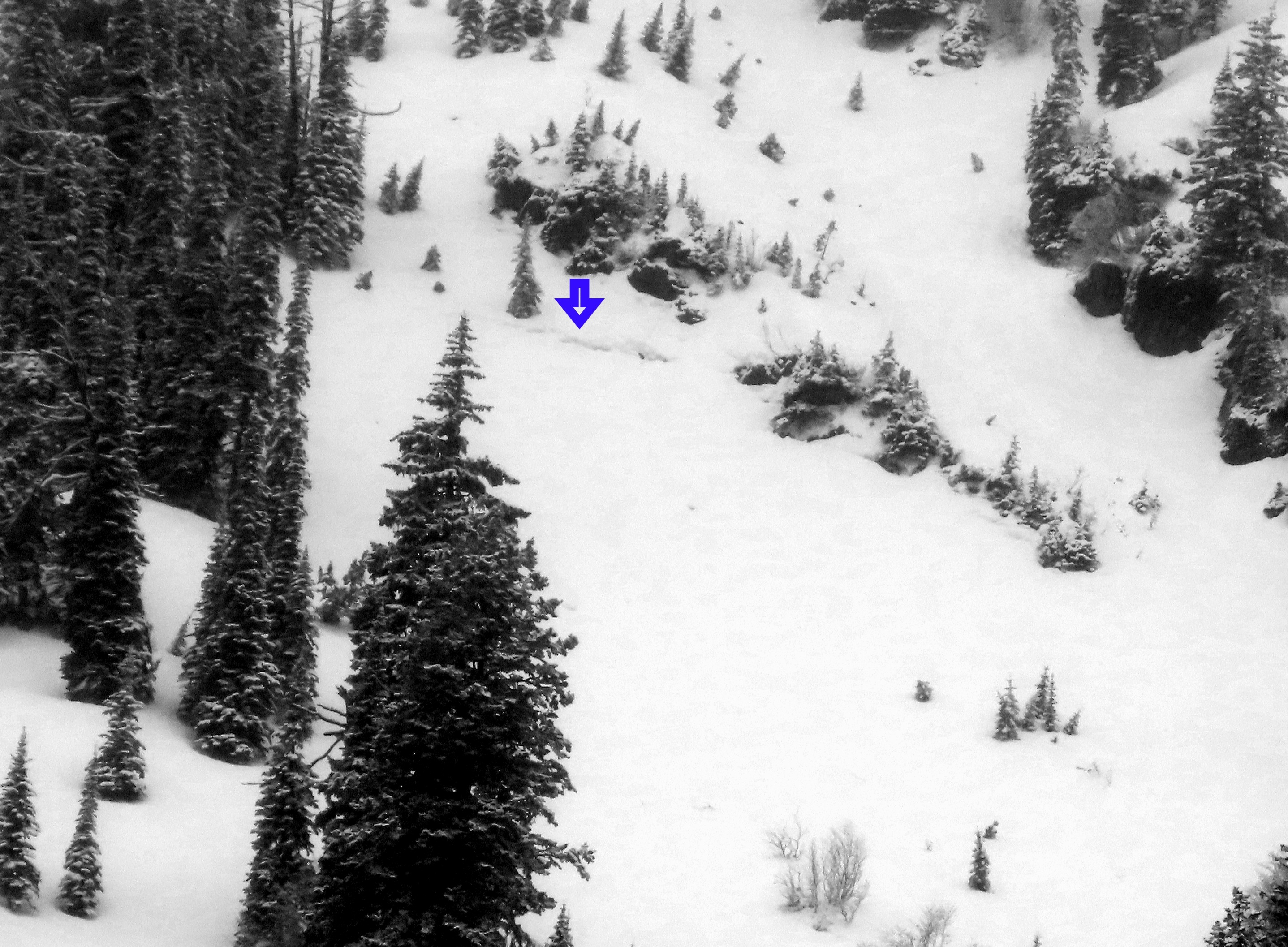
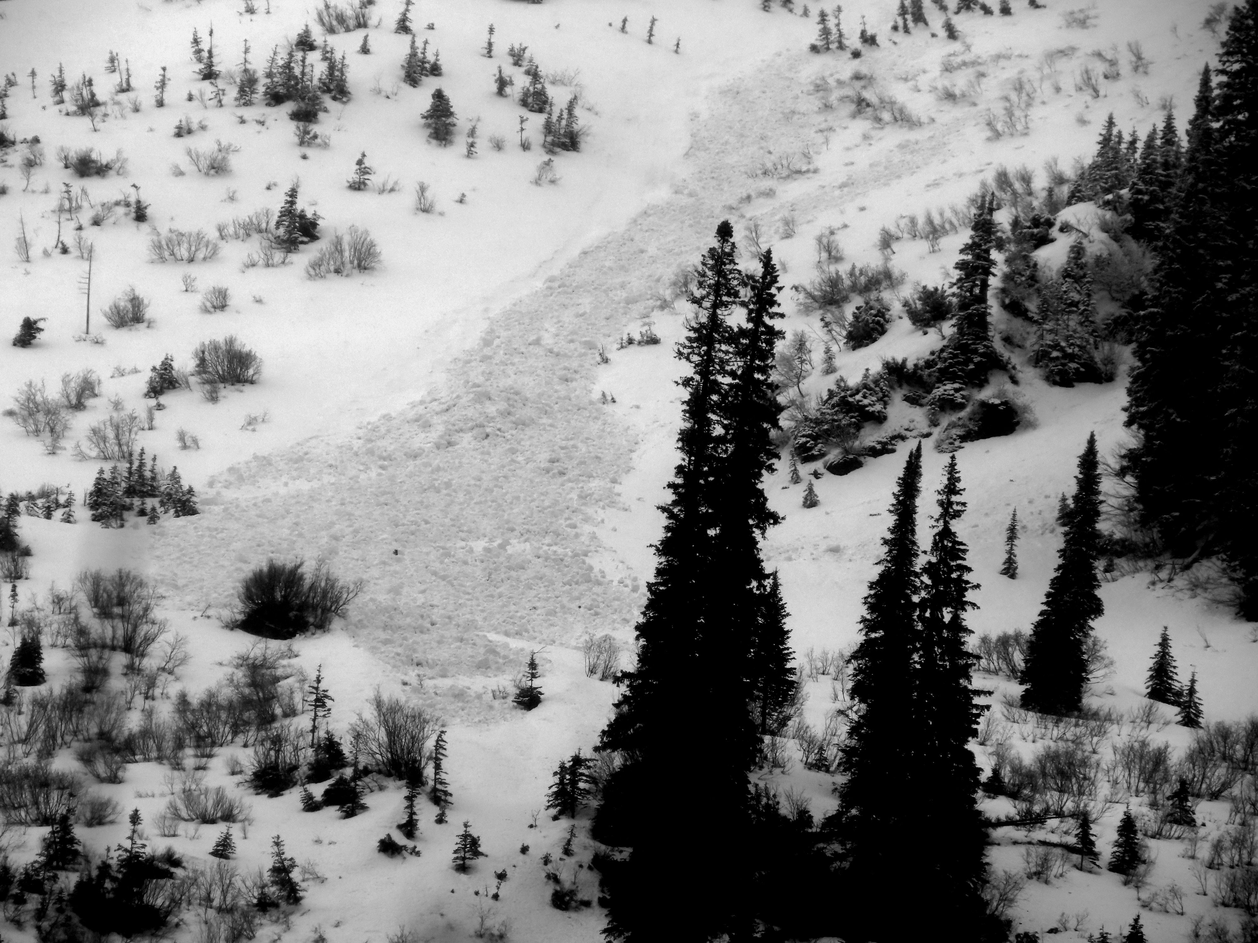
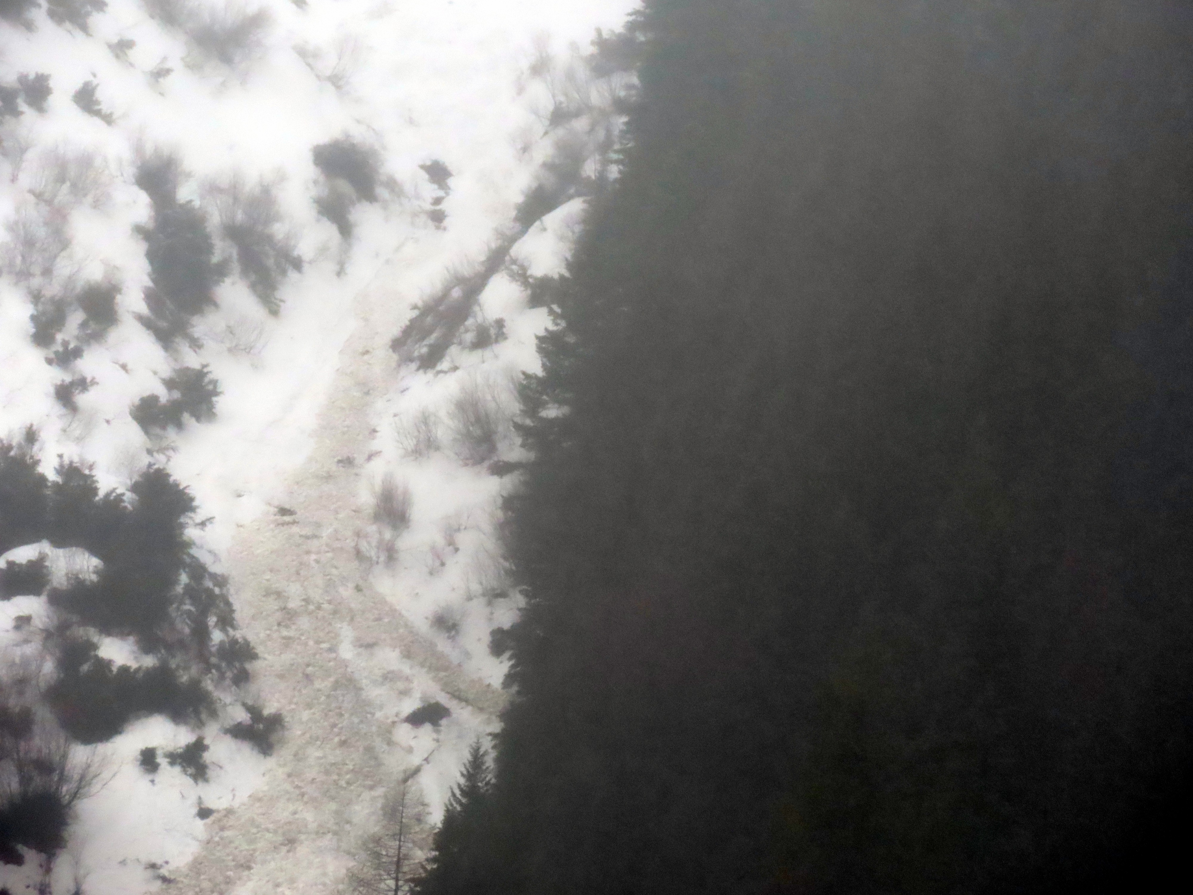
- I noted a small wet loose avalanche cycle in the Rescue Creek drainage, which was puny compared to what this drainage often produces. Apparently, the lack of snow below 5500 feet is what kept these slides relatively small.
- Long stretches of old Highway 2 are drivable, and the lower half of the Rescue Creek trail is melted out.
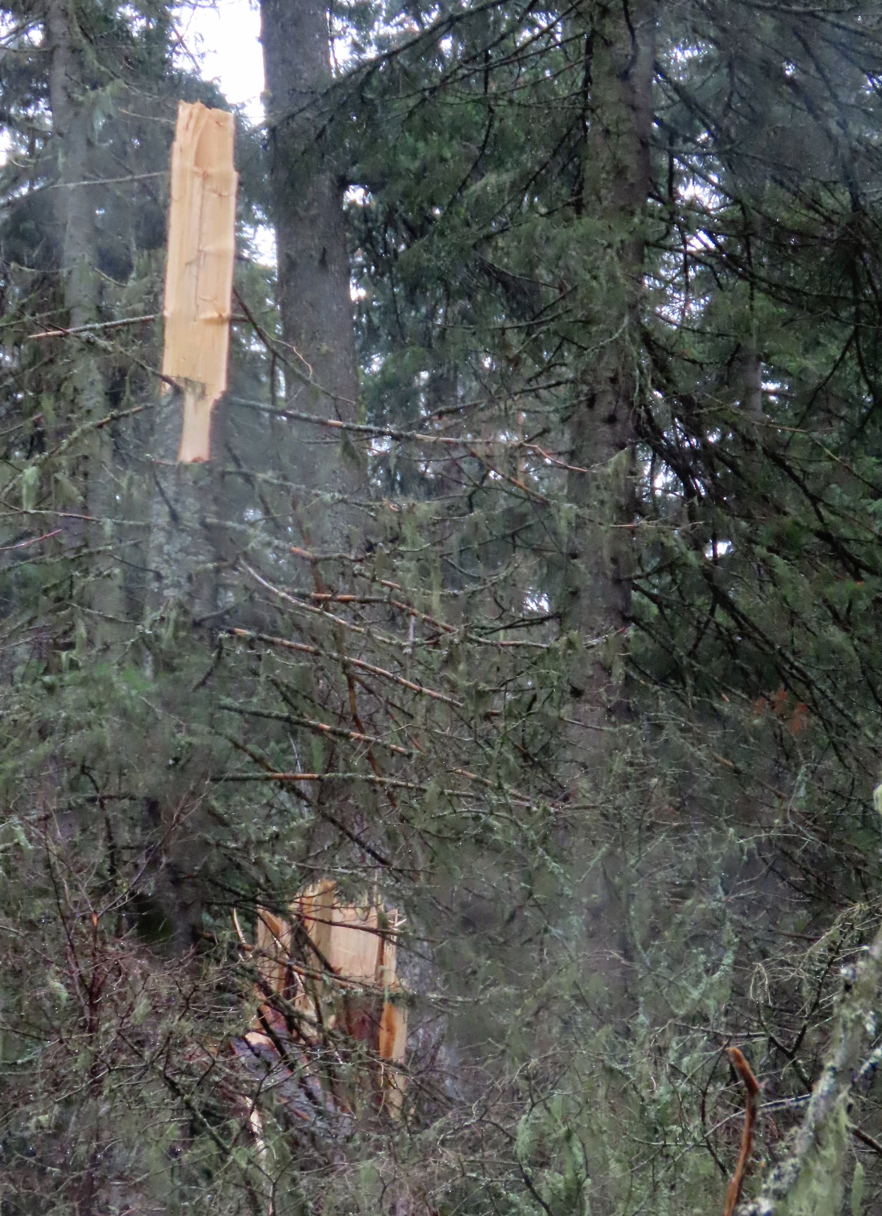
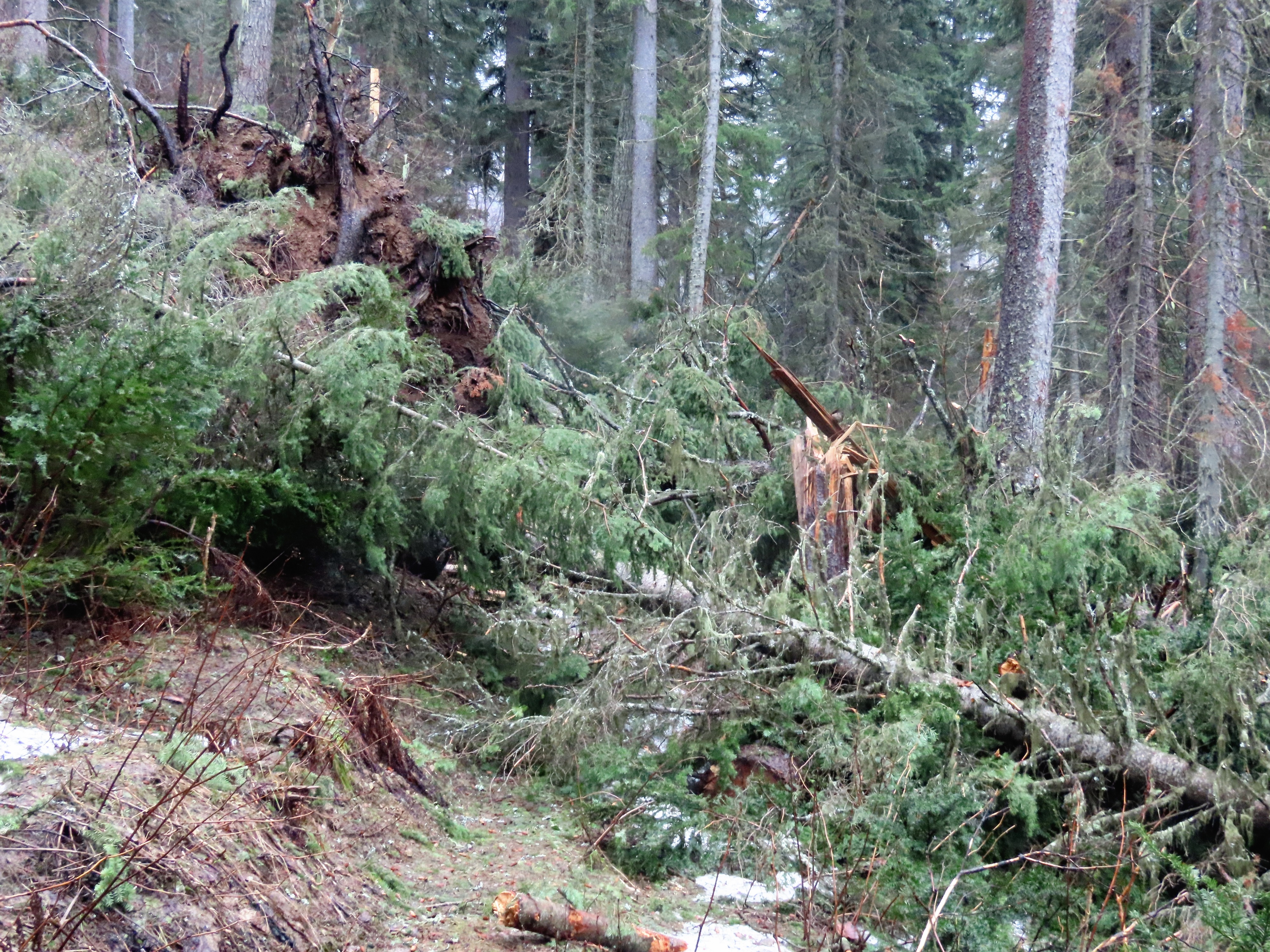
- Recent strong winds snapped multiple large green trees, leaving additional cleanup for summer trail crews.
Weather
- Air Temp
- 40
- Cloud Cover
- obscured
- Wind Loading
- unknown
- Rain Elevation
- 5500
- Recent Snowfall
- 0
- Snow Avail For Transport
- small smounts
Intermittent light to heavy rain showers throughout the day. Generally obscured skies with occasional periods when the cloud deck would lift for a moment or two of sunshine.
Avalanche
A small wet loose cycle to be documented here at a later date