
Quick report
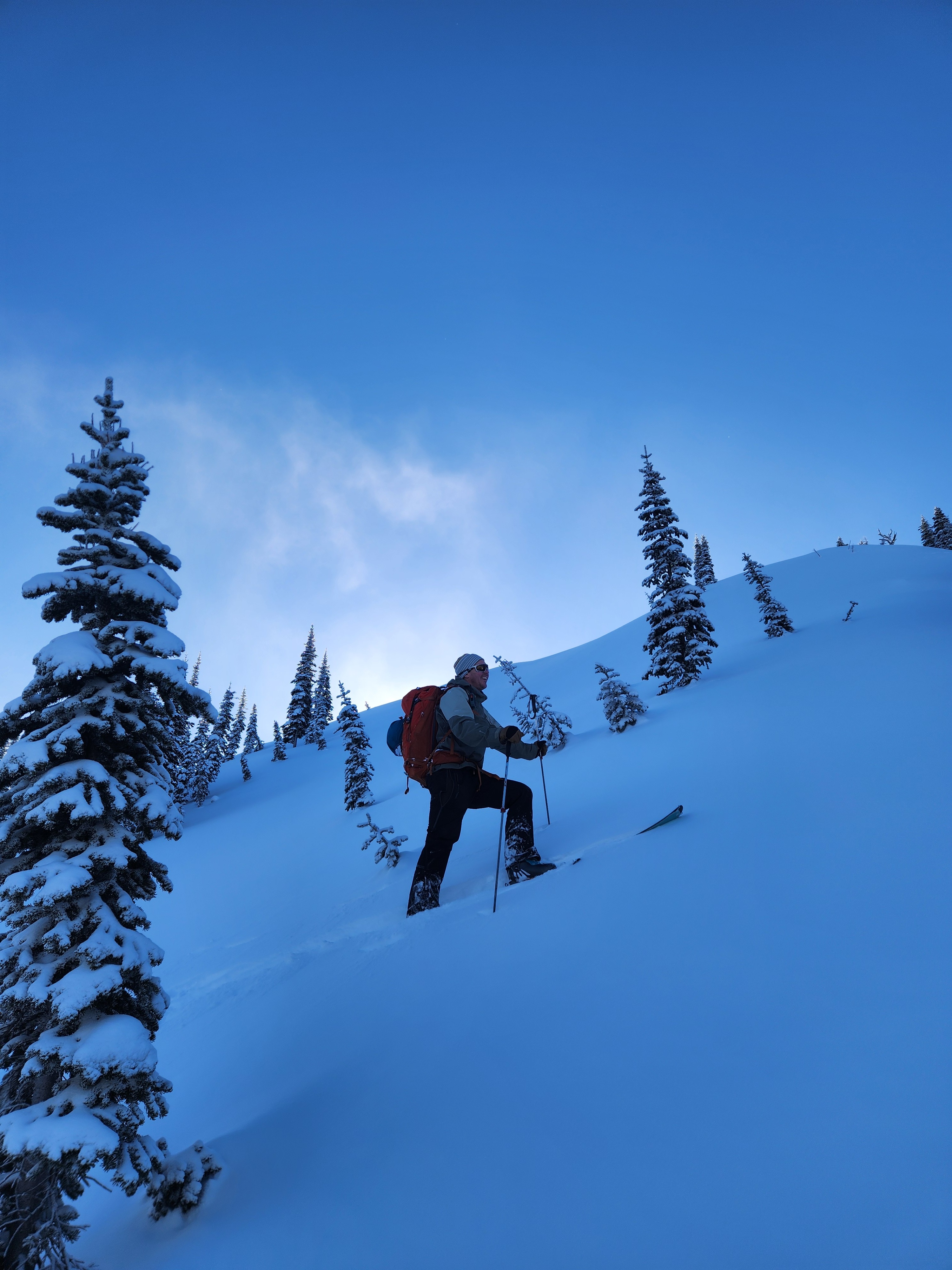
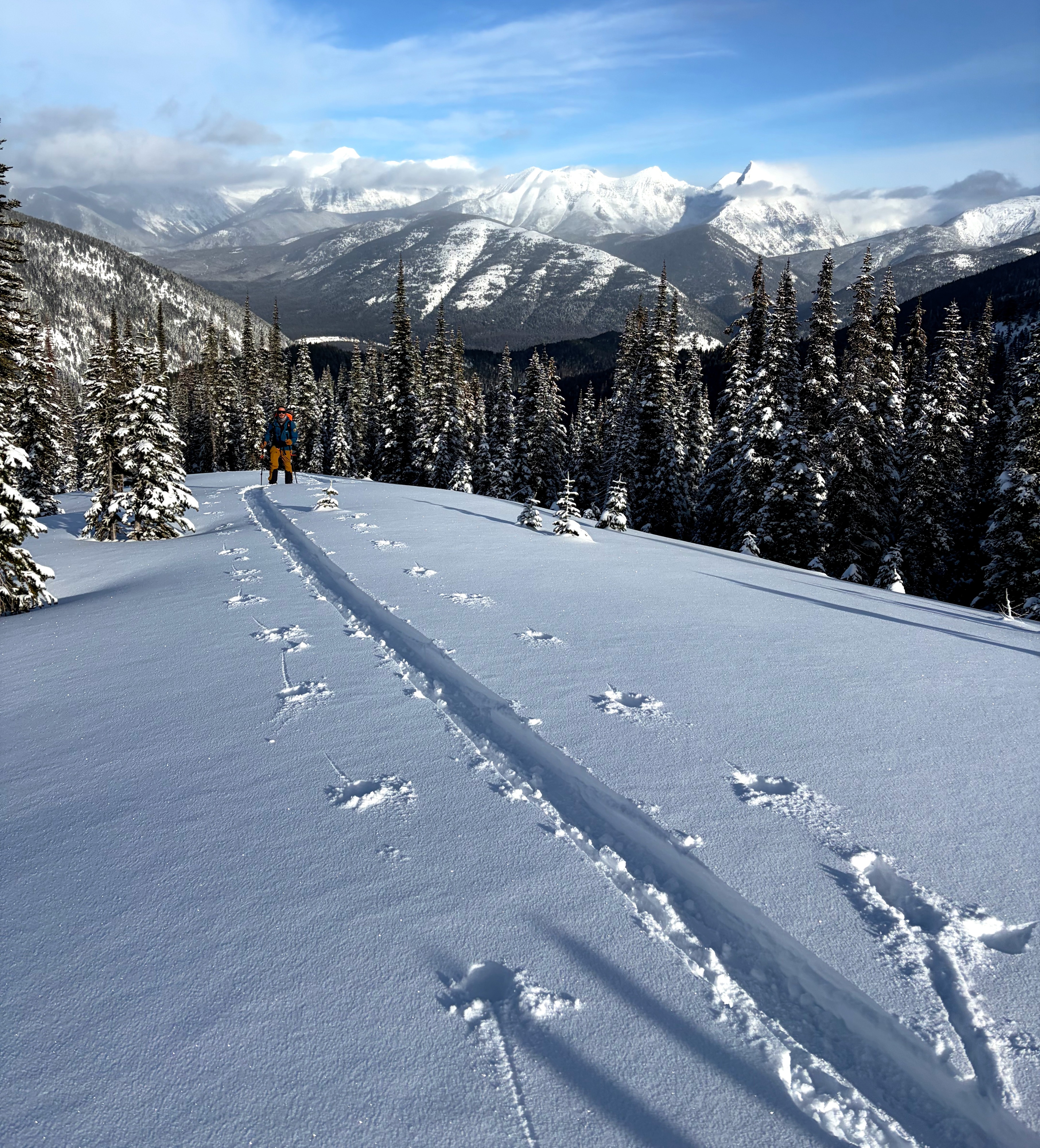
It was a gorgeous day in the mountains with cold temperatures, light winds, and excellent riding conditions in sheltered terrain. Outside of the wind zone, we found about 12" of mostly right-side-up storm snow resting on a crust.
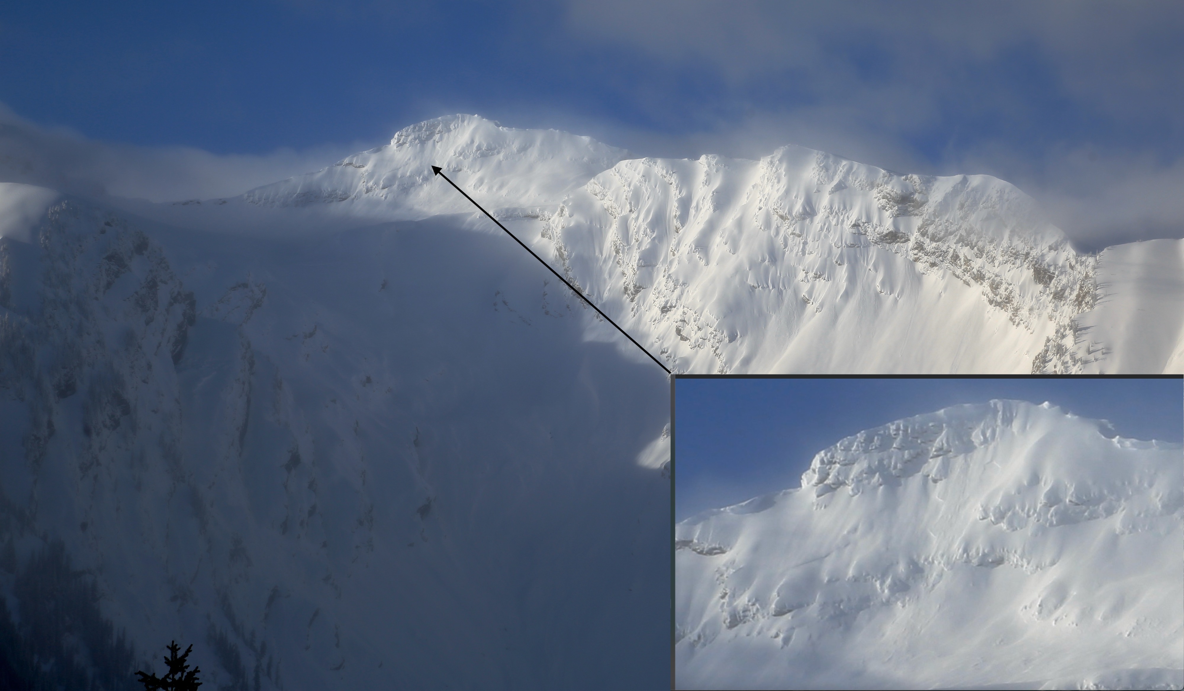
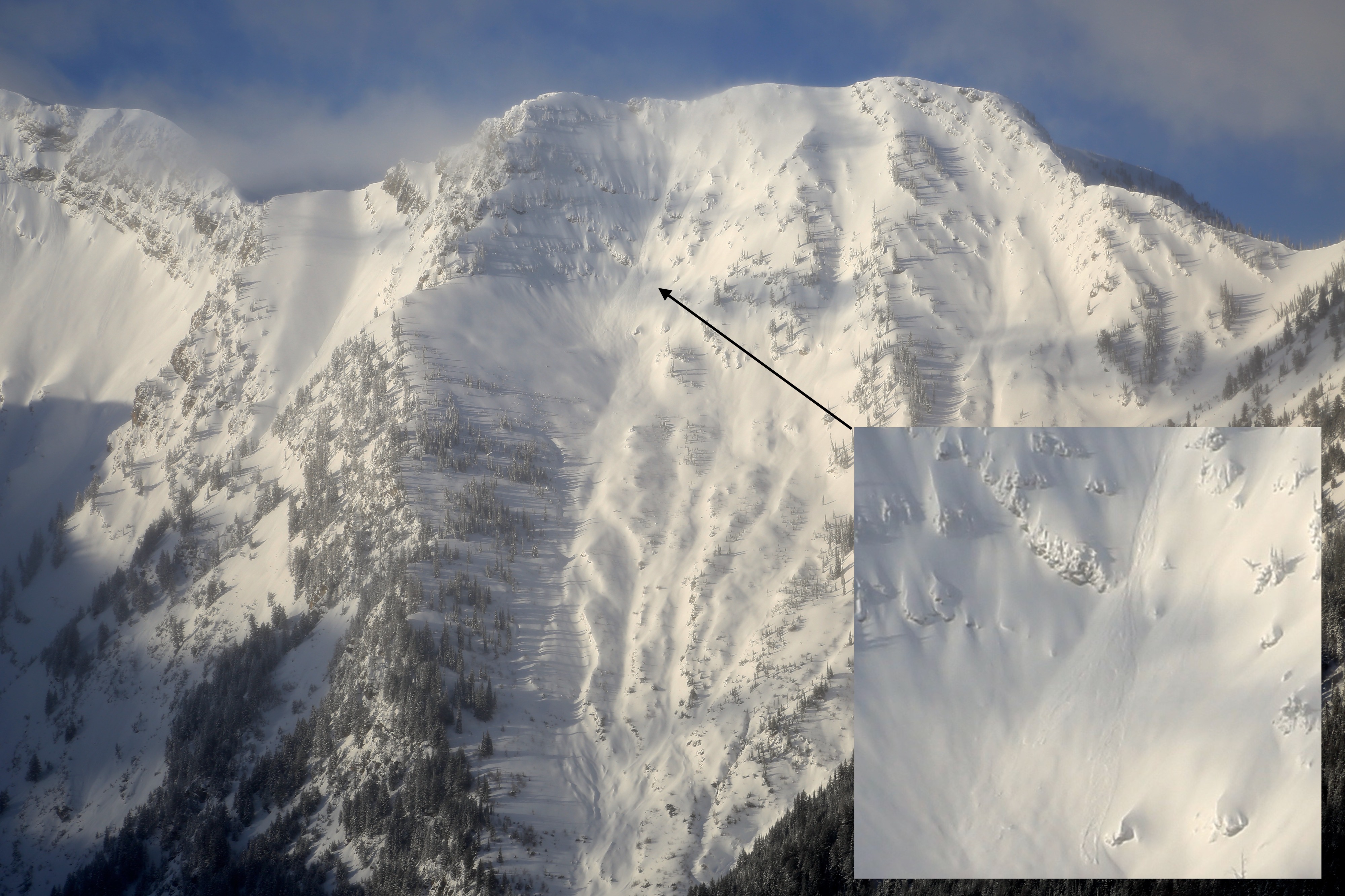
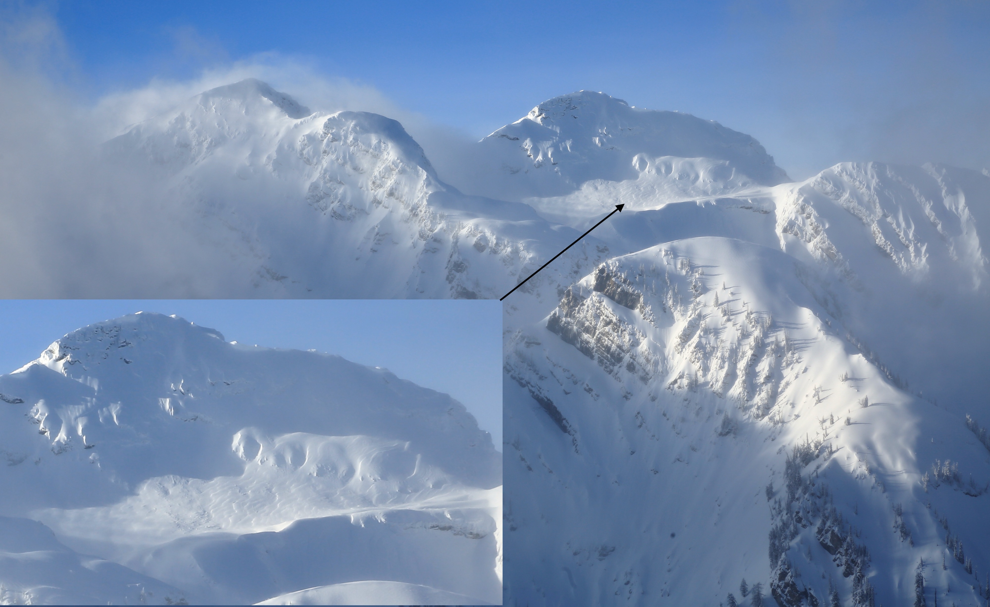
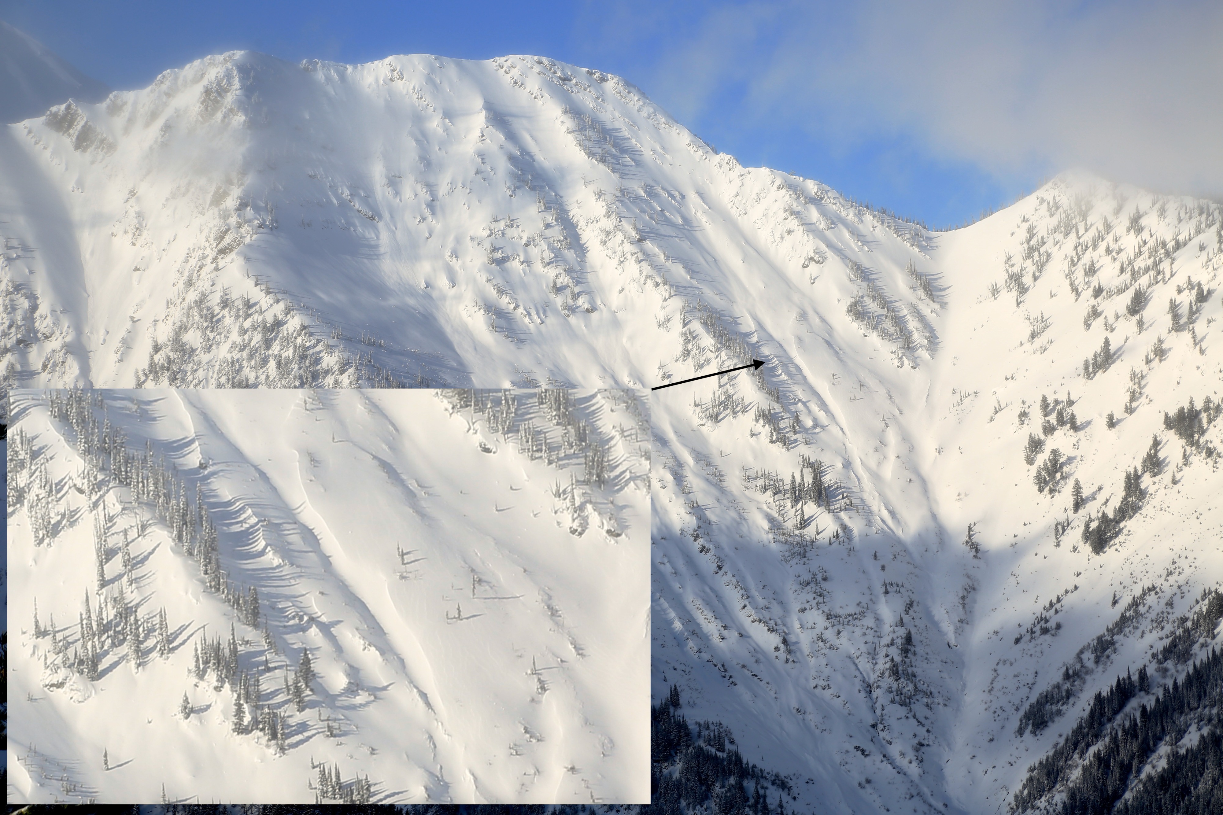
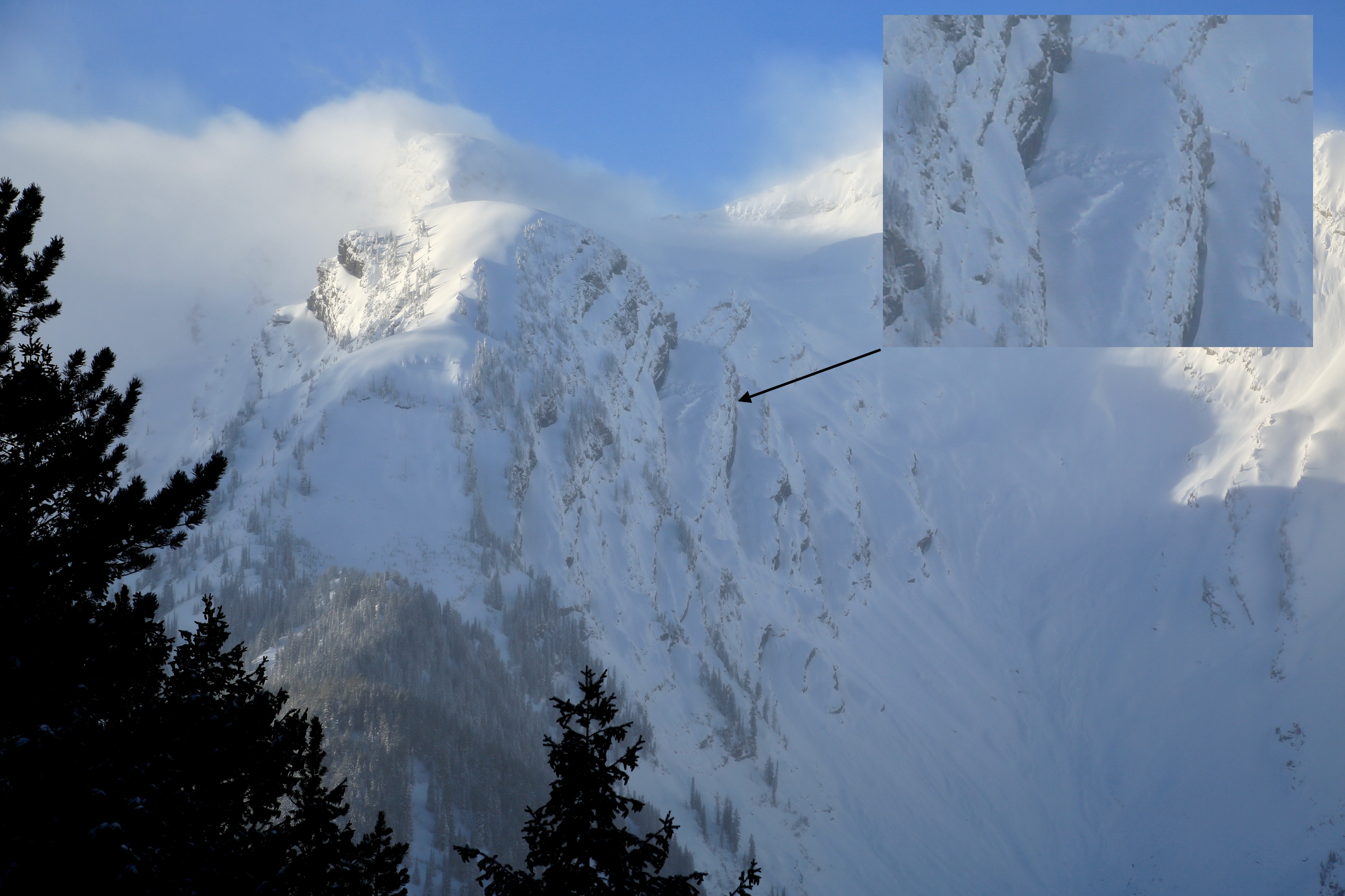
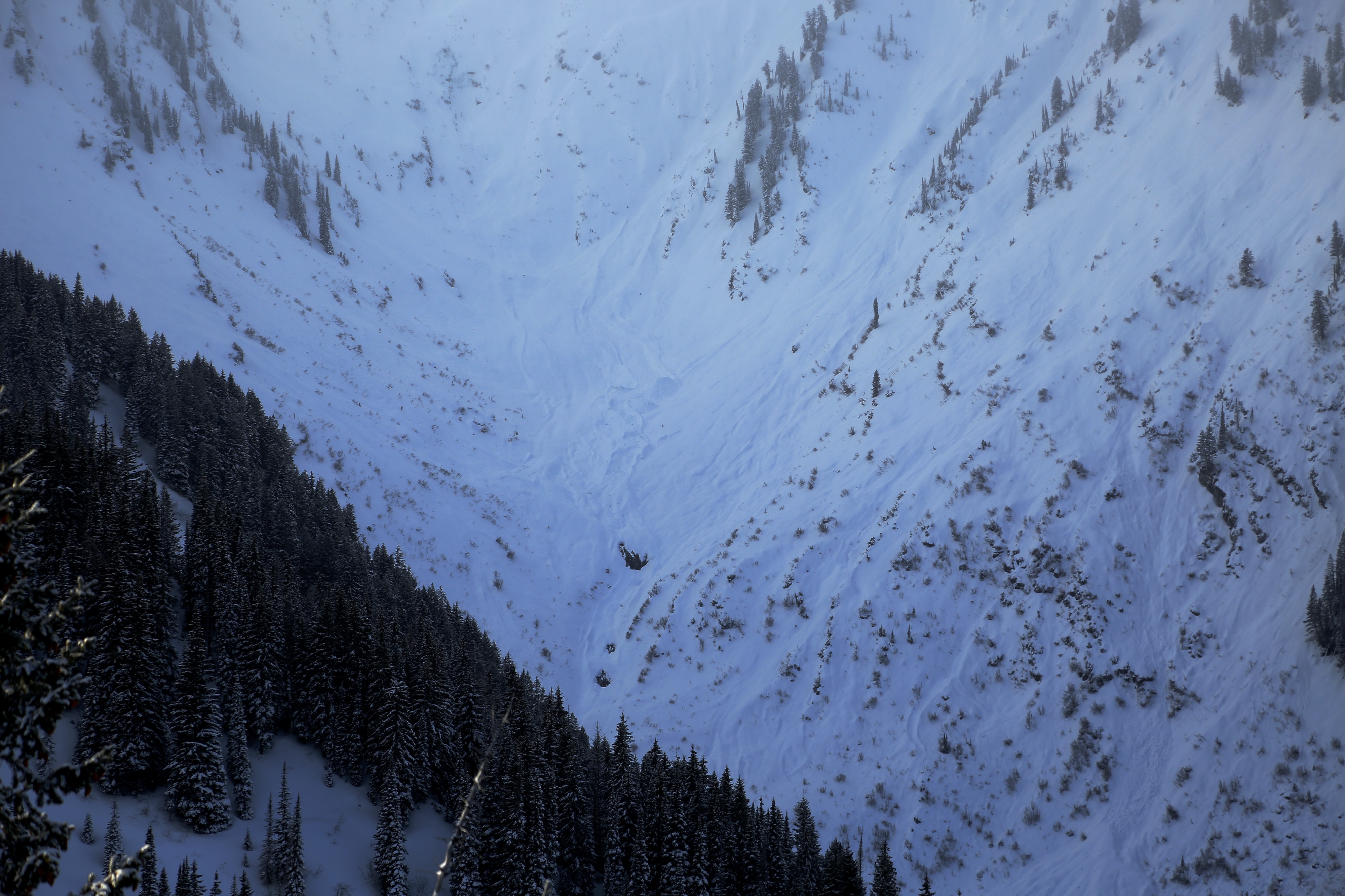
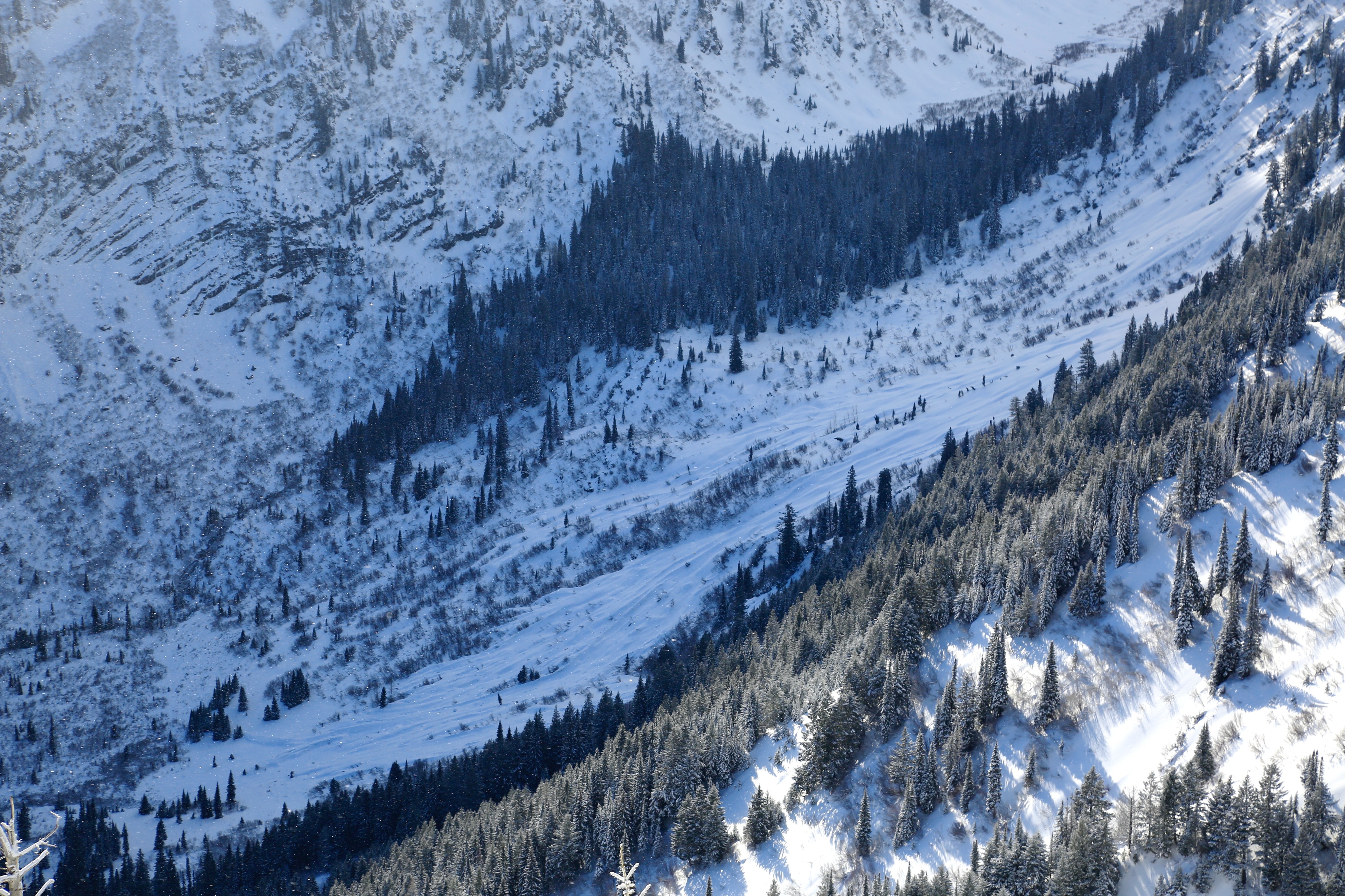
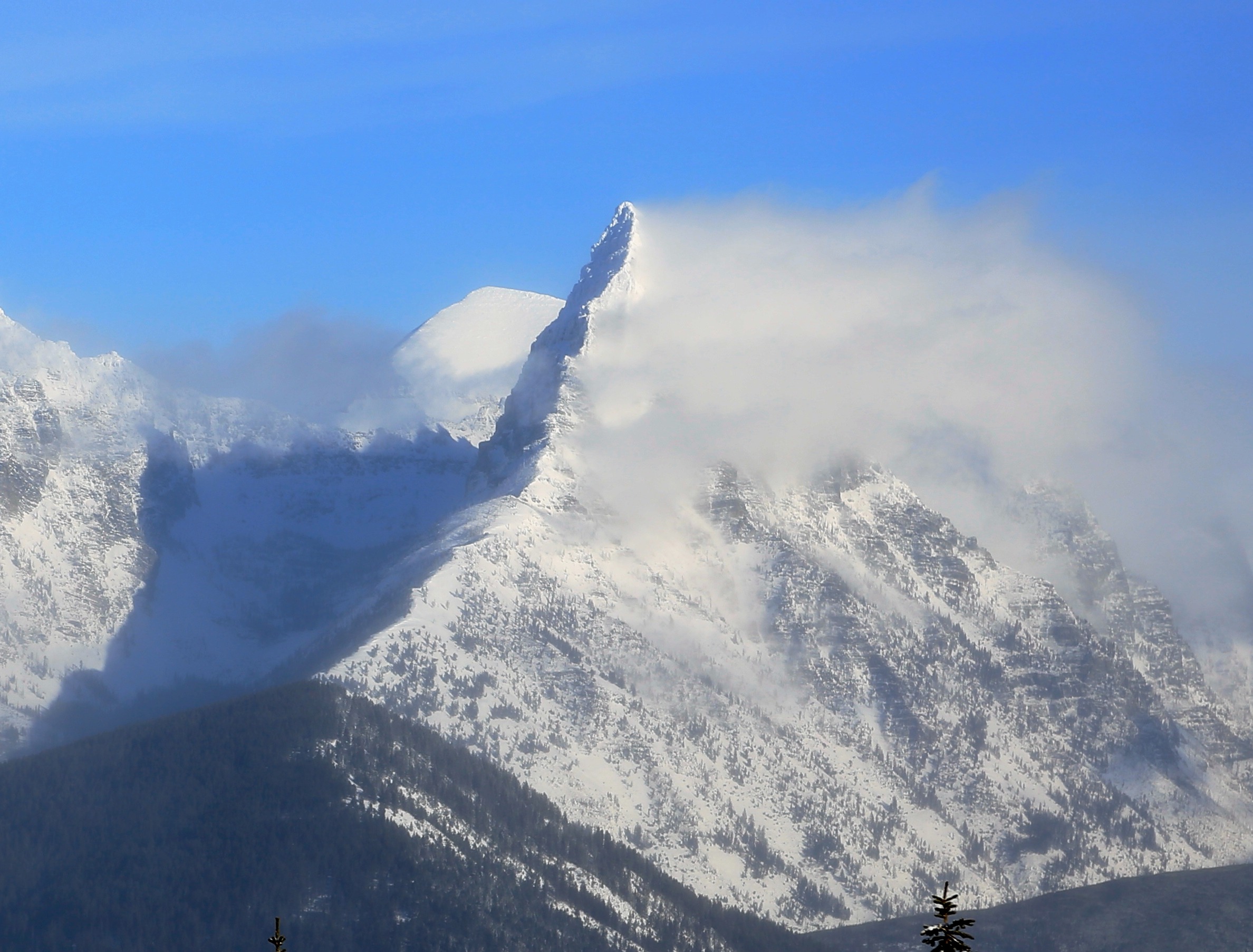
Our tour took us on north, northeast, and east facing terrain from 5000-6700'. We had great views into the Grant Massif and large peaks of GNP, however, passing cloud cover partially inhibited our ability to get a detailed look at all the aspects on Grant. We observed a few avalanches in big upper-elevation terrain that likely released on Friday or Saturday, but found no signs of current instability under our feet or in our pits. The recent storm snow has settled some, and steep terrain failed to yield the same amount of sluffing as the prior few days. Nevertheless, the snow quality remains excellent.
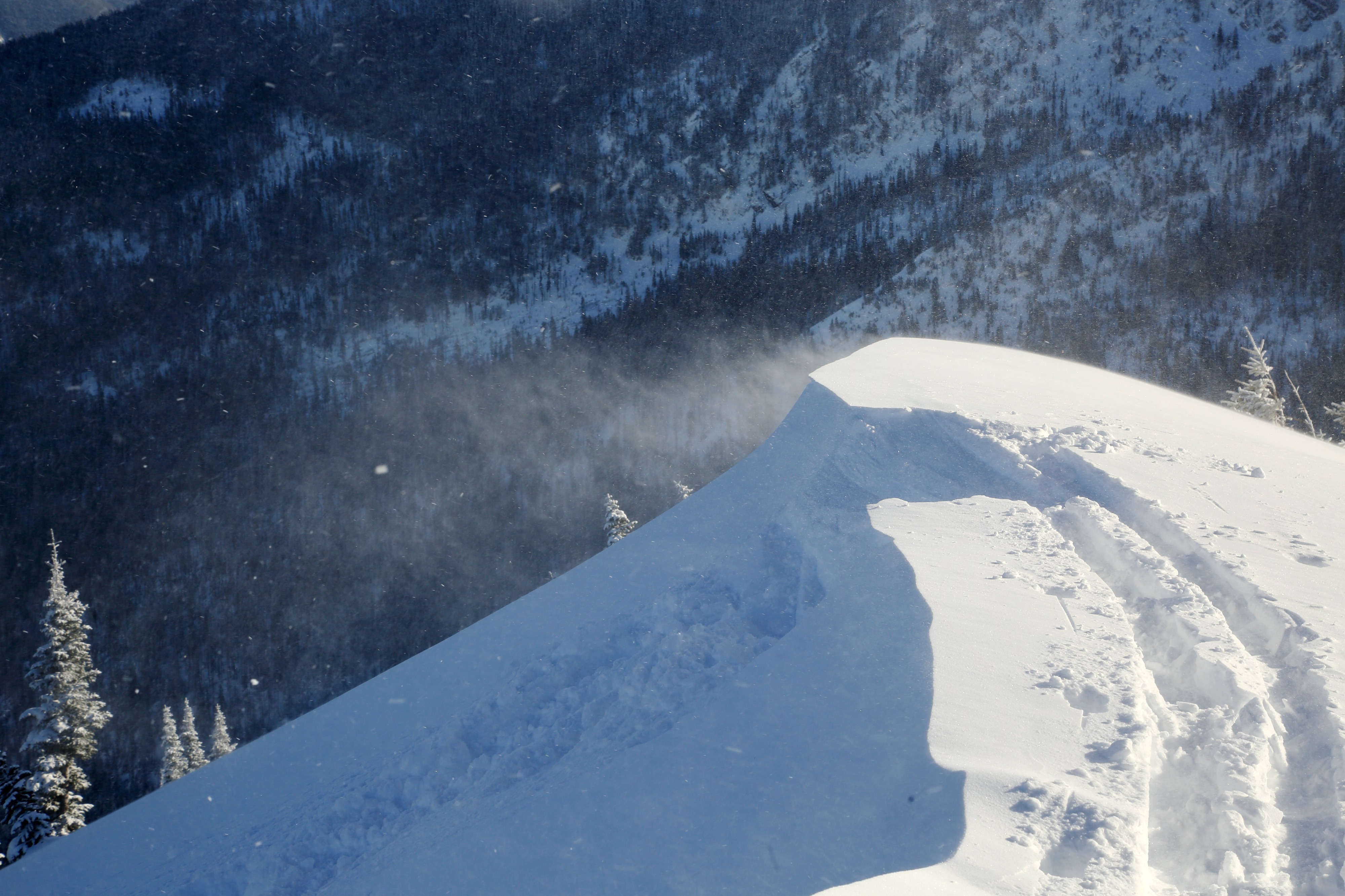
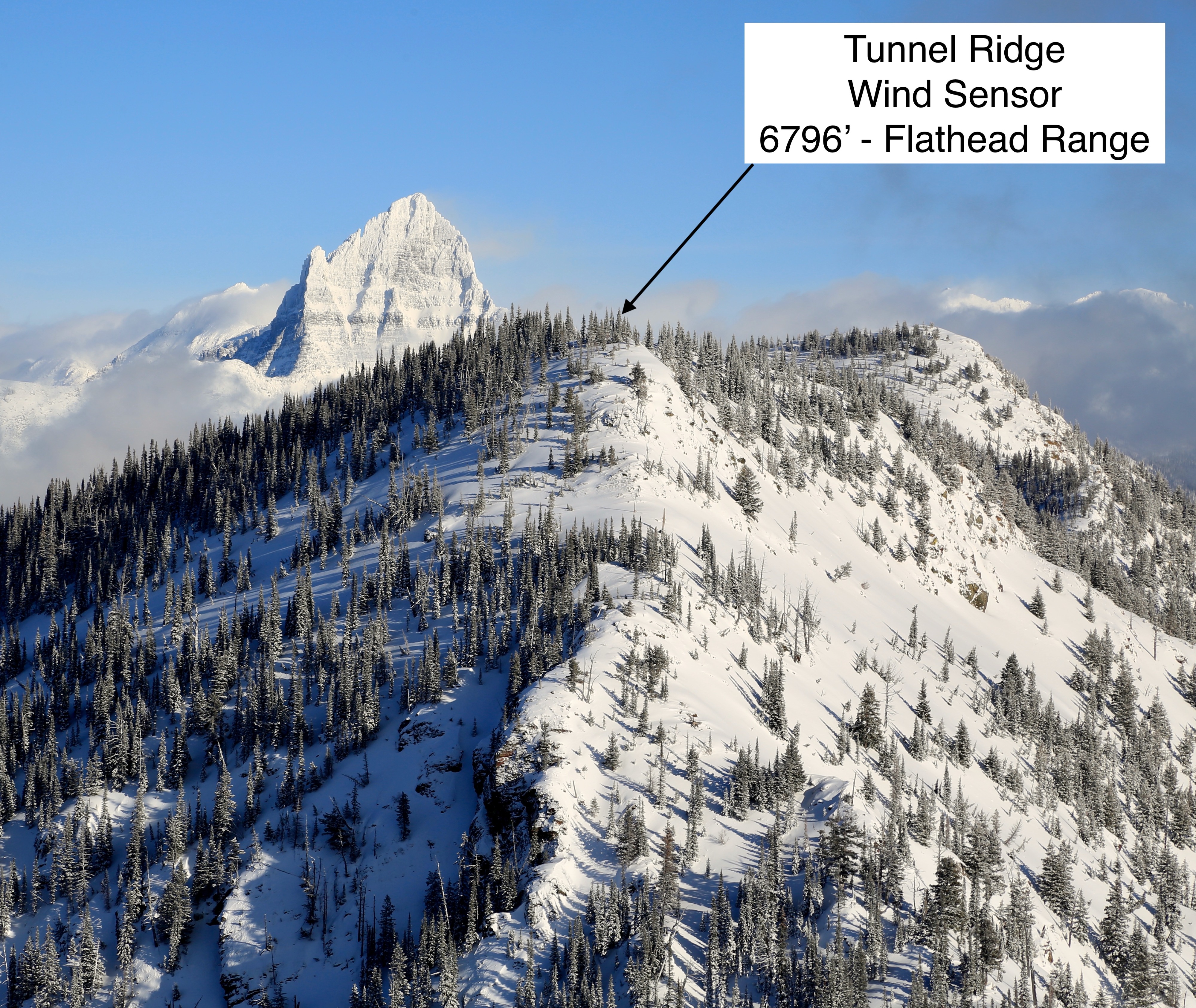
Overall, while there were plenty of signs of wind transport in upper-elevation alpine terrain from both westerlies earlier in the storm and the north and east winds from the artic push, there was less wind effect than we expected on the ridge at 6700'. Snow was happily draped on the trees and exposed slopes on the ridge showed only minor signs of recent wind drifting at the elevations we traveled.
Avalanches likely ocurred Friday PM through Saturday midday.Weather
- Cloud Cover
- scattered
- Wind Loading
- light
- Recent Snowfall
- 30
- Snow Avail For Transport
- large amounts
Cold and calm with plenty of sunshine through mid-day, giving way to partly to mostly cloudy skies in the afternoon. Light winds with moderate gusts on the ridge, mostly from the west.
Snowpack
New snow totals changed dramatically with elevation, from 3" at 5800' to approximately 12" at 6100'. Ski pen above 6100' in sheltered terrain was 6-8". New snow was mostly right-side-up, however, there is a denser layer about 8" down, potentially formed during a period of high precipitation intensity Friday afternoon, resting on rimed precipitation particles and softer snow below, all resting on the warm-up/rain crust (depending on elevation) formed Thursday night into early Friday. This denser layer was about 2" thick and ski supportable.
Snow Pits
Northeast aspect @ 6650' - Previously wind-loaded - HS 270 cm
ECTX, CT11 RP down 30 cm on rimed precip. particles
Warm-up crust down 43 cm, frozen and stout
AR Crust down 100 cm - top of crust is frozen and stout. Some weaker snow within the complex, but overall a strong and thick crust.
Pencil-hard rounds between the warm-up crust and the AR Crust
East aspect @ 6100' - HS 175 cm
ECTX
Rain crust from Thursday PM down 30 cm, sopping wet, water percolating into older hard and previously dry snow below, pooling on another layer down about 70 cm
AR Crust down 80 cm - frozen and stout
Avalanche
- Size
- D2
- Count
- 3
- Aspect
- NE
- Trigger
- N
- Elevation
- 6700 ft
At least two natural D2 wind slabs in steep upper elevation alpine terrain. Clouds obscurred some of our visibility into more of the north and east facing terrain off Grant. Some long-running dry loose as well.