
Quick report
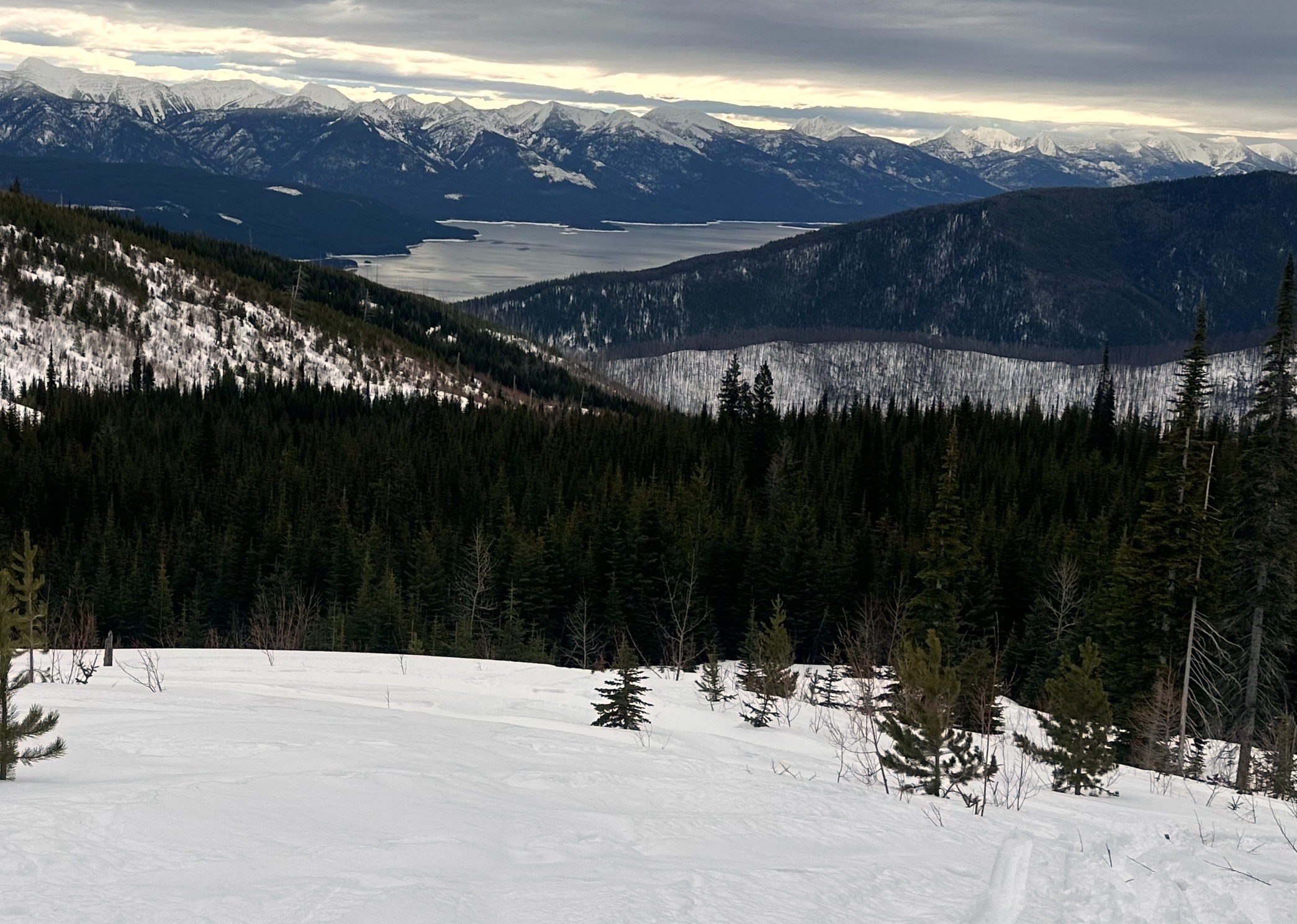
We rode up into the east side of the Swan Range to assess the changes to the snowpack following the rapid warming and powerful winds of the past 24 hours. We turned back earlier than planned due to a mechanical concern.
- Riding was better than expected, because only the snow surface is wet, as of early afternoon.
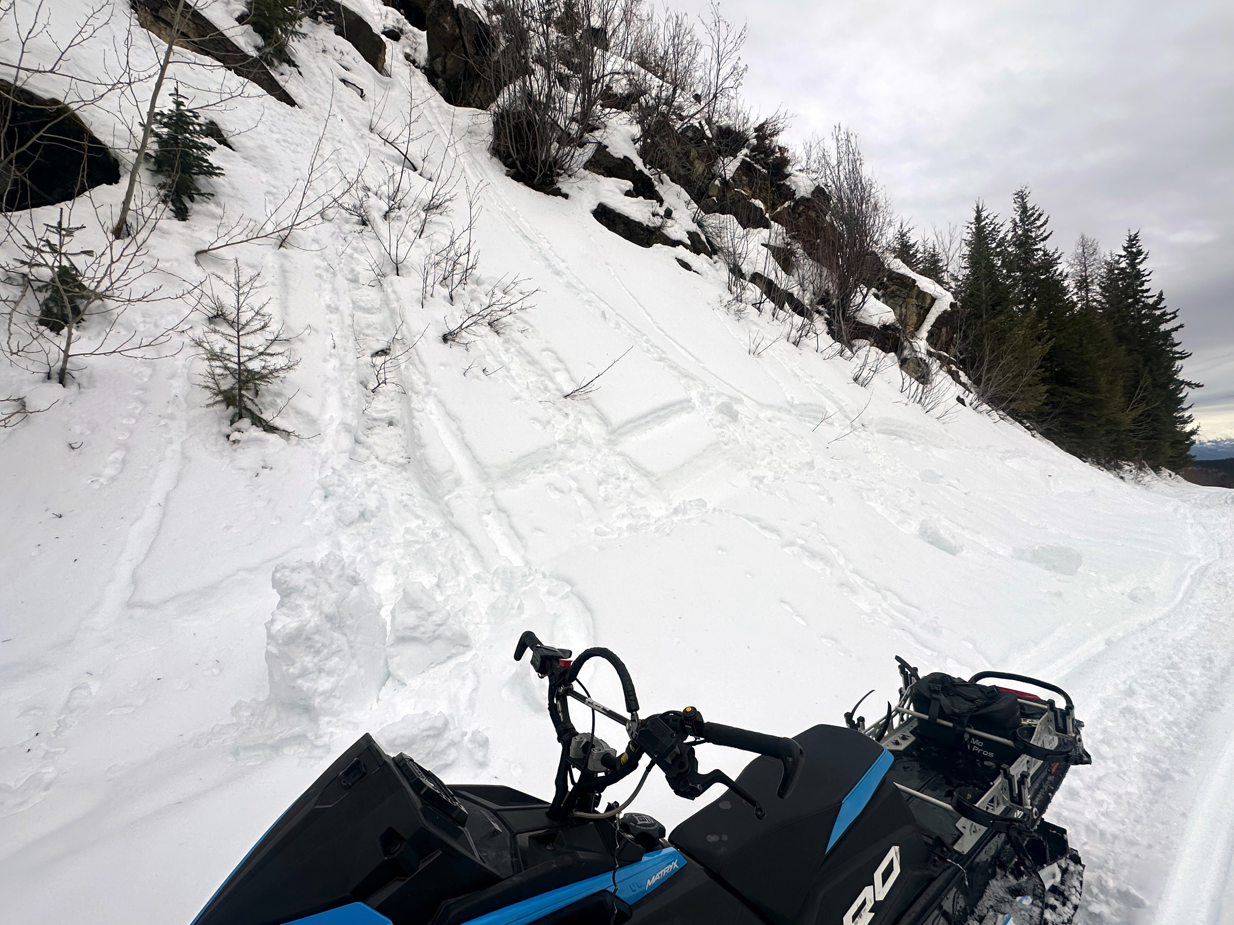
- Natural and hand-tossed rollerballs quickly gained mass and gouged into the surface snow on steep roadcuts. That indicated to us that rider-triggered wet loose slides were likely on slopes steeper than about 38*.
- Water is percolating through the recent storm snow. We saw it as deep as about 55-60 cm, on the ice lens below the most recent storm snow.
- The percolating water had not yet reached the JDL, and it didn't seem like a lot of water. Still, the potential exists for large to very large natural avalanches that fail when the JDL gets wet and loses strength. Perhaps with additional rain tonight Wednesday or Friday.
- We had to turn back before making it to upper elevations to assess wind slab development and sensitivity.
Weather
- Cloud Cover
- broken
- Snow Avail For Transport
- small smounts
Mild, with a few breaks in the clouds. A few gusts of wind by early afternoon.
Snowpack
HS @ 5900 ft N HS ~260 cm
- 2-3 cm wet PP at surface
- 50-55 cm 4F-1F DF (snow since 2/11).
- ~ 7 cm thick ice lens (<1 cm) - and MFcr sandwich (1F). Meltwater visible on top of ice lens.
- 55 cm P-hard rounds - includes 2/14 pwl, which shows little hardness difference, and a transient ice/ crust (might be refrozen percolation)
- 2 cm JDL (~115 cm below surface). Still there.
ECTN 24 down ~60 cm below MFcr.