
Quick report
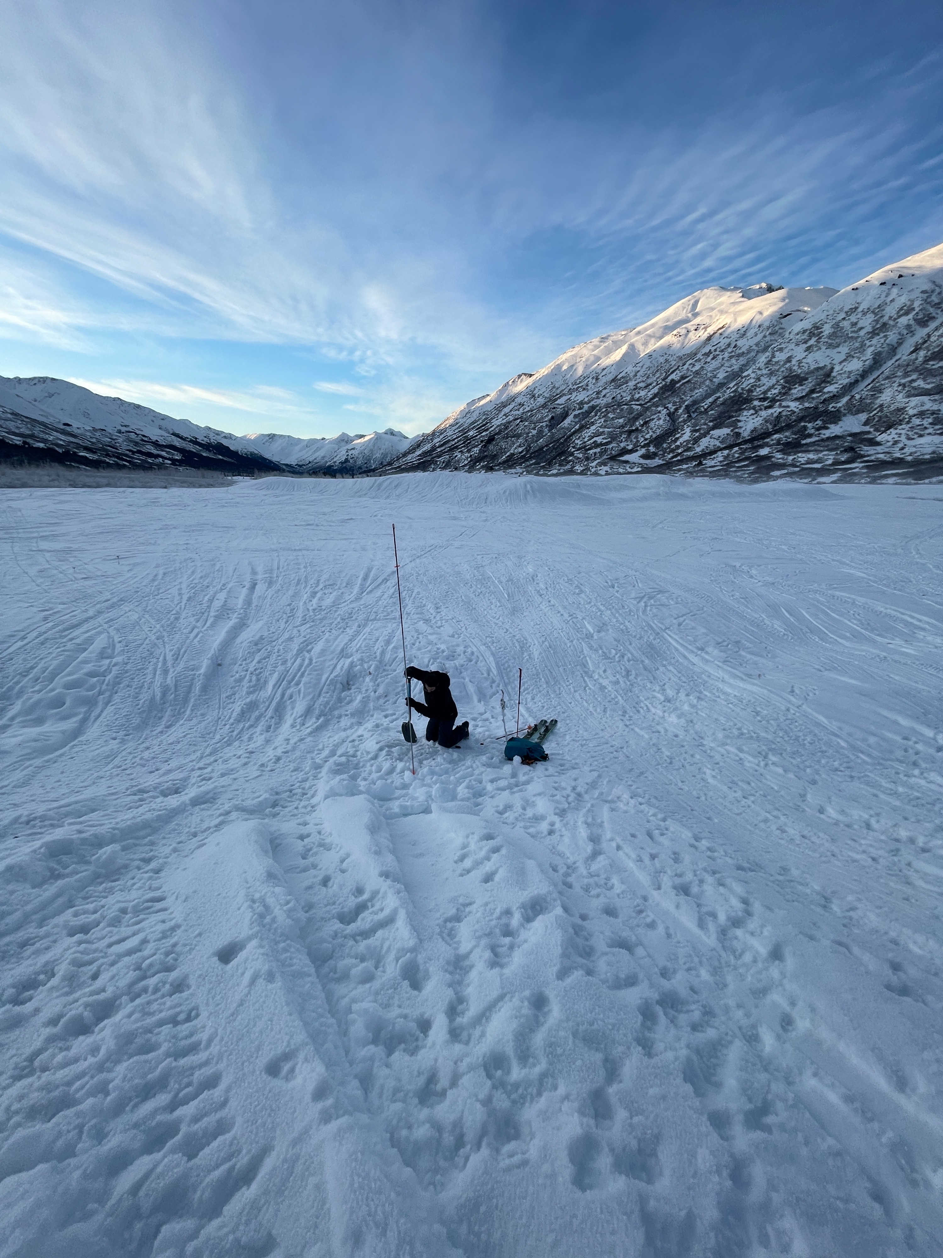
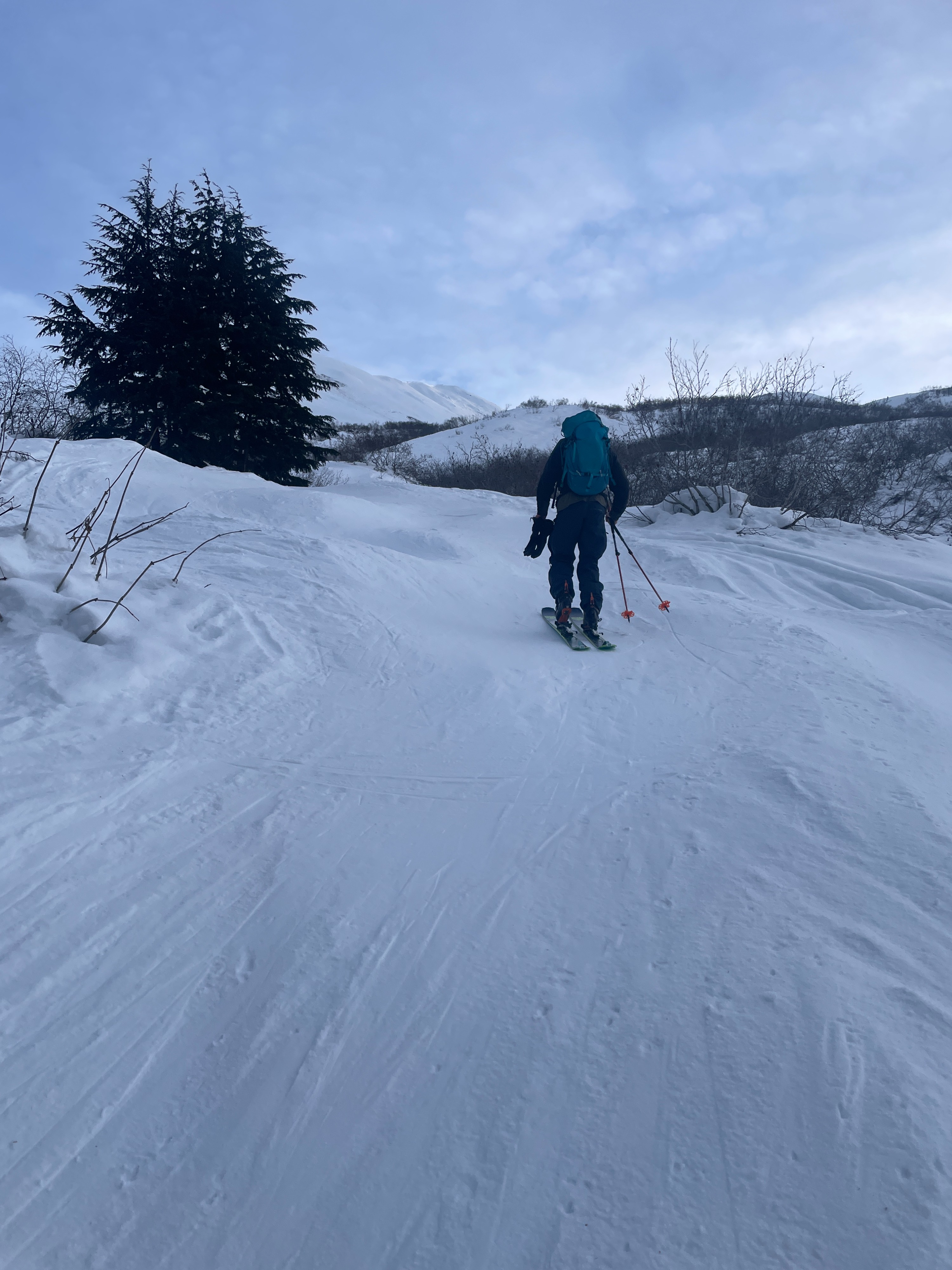
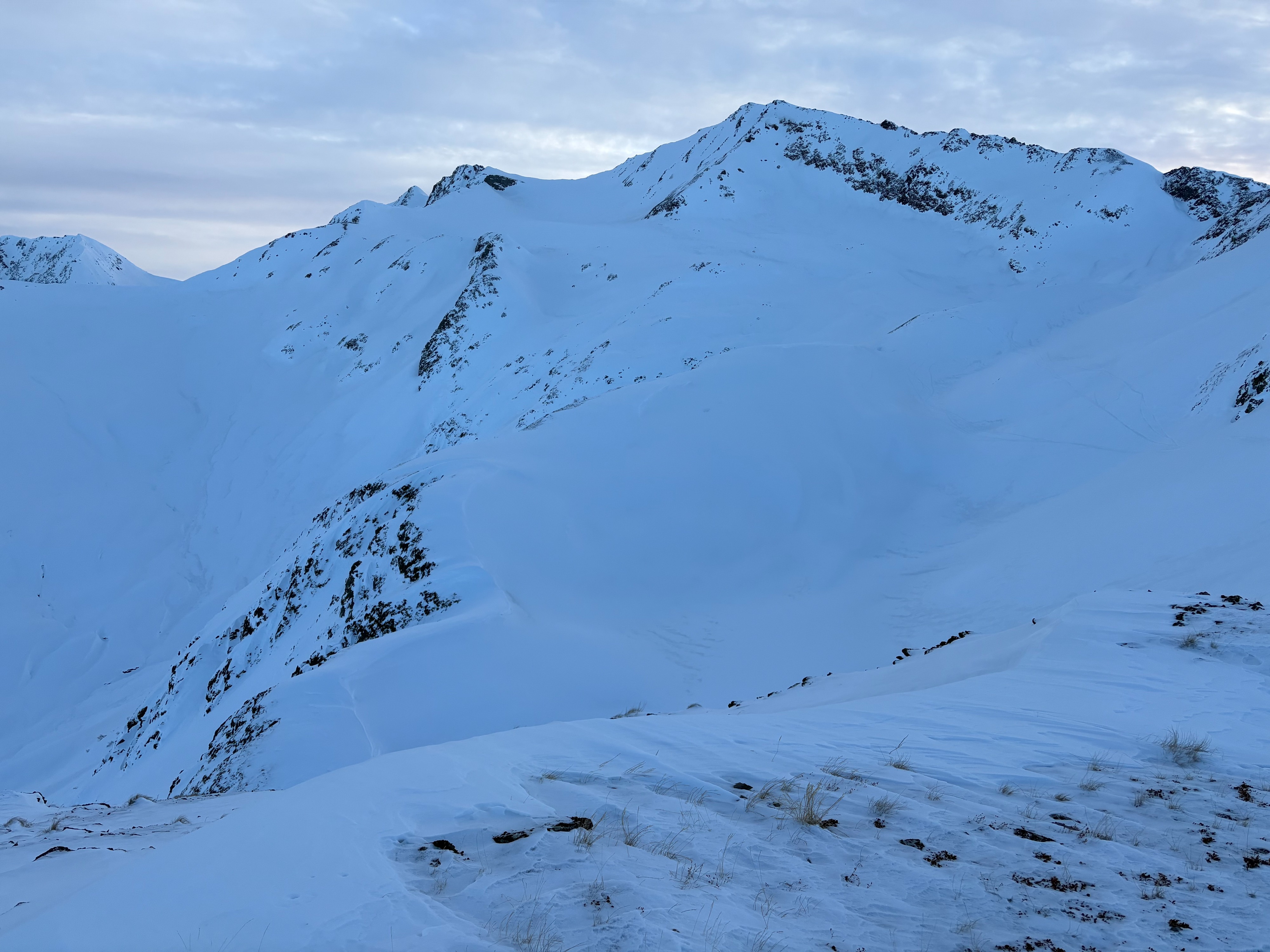
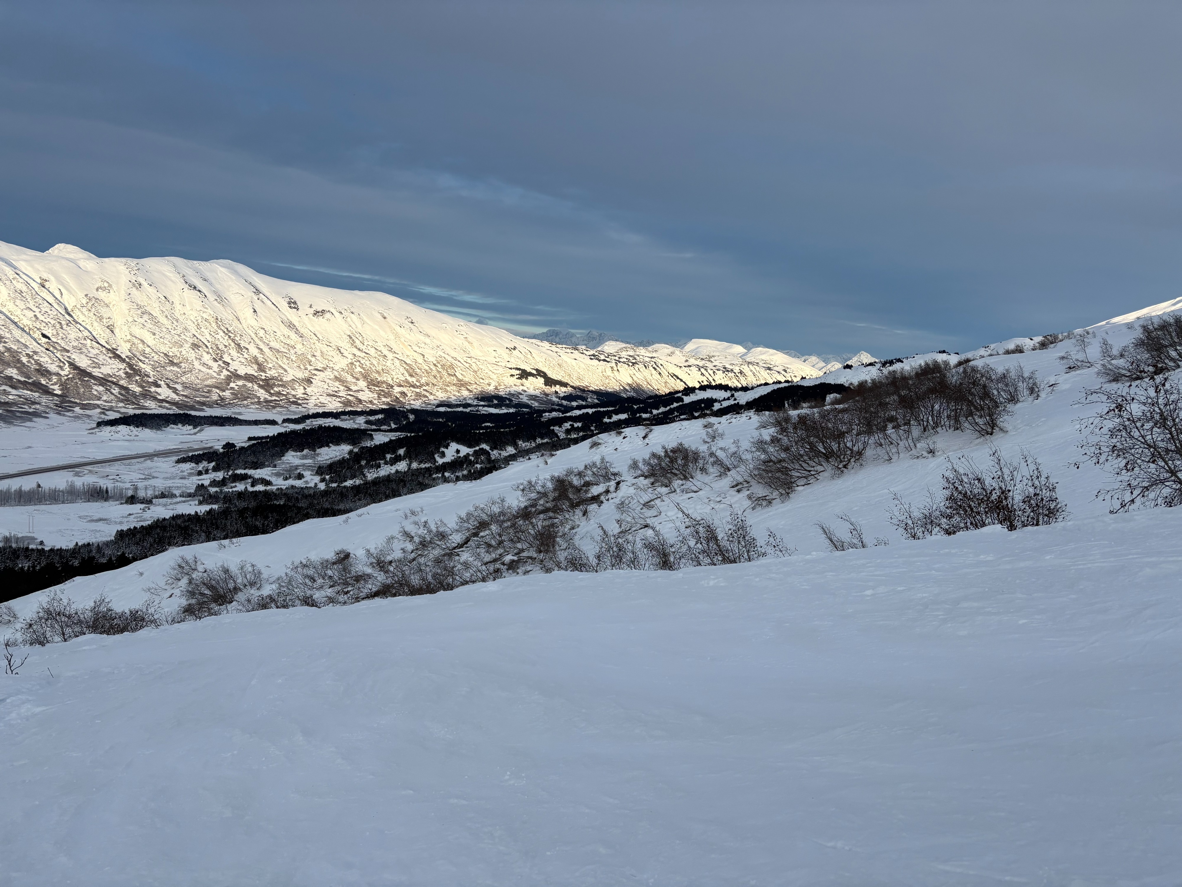
Surface conditions are variable with a mixture of rain crusts up to around 2500', wind crusts at upper elevations, and thin wind skin over sugary facets. We found some areas of supportable crusts, and some isolated pockets of soft surface snow, but it was not consistent enough to link many turns. We observed the weather changing with clouds rolling into the valley and parking lot temperatures at a balmy 4°F. A welcome change from the negative temperatures all of last week. Glide activity has slowed in recent weeks, but we are still limiting exposure by not lingering underneath open cracks and travelling spaced out.
Weather
- Air Temp
- 3
- Cloud Cover
- few
- Wind Loading
- previous
- Recent Snowfall
- 0
- Snow Avail For Transport
- small smounts
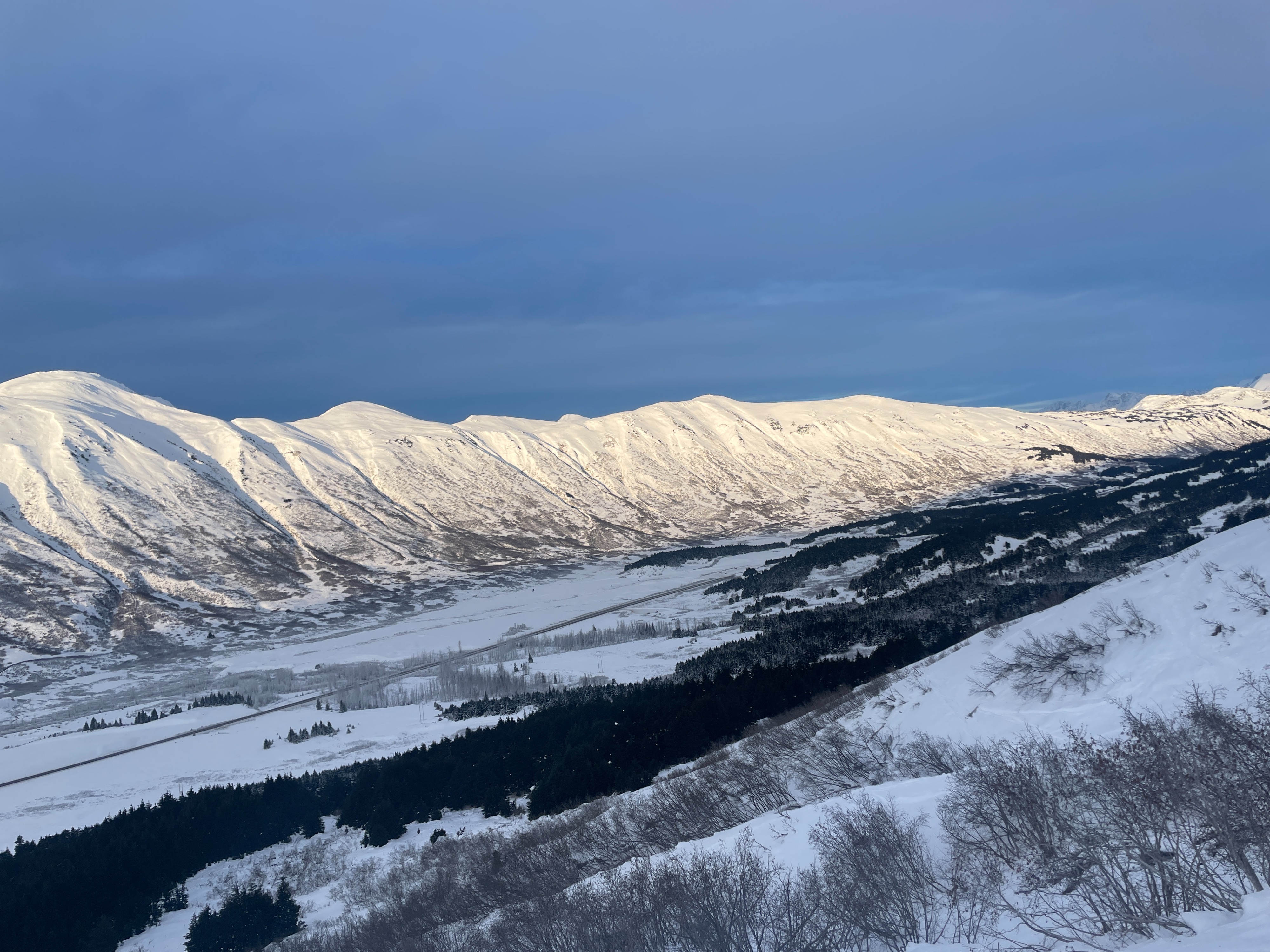
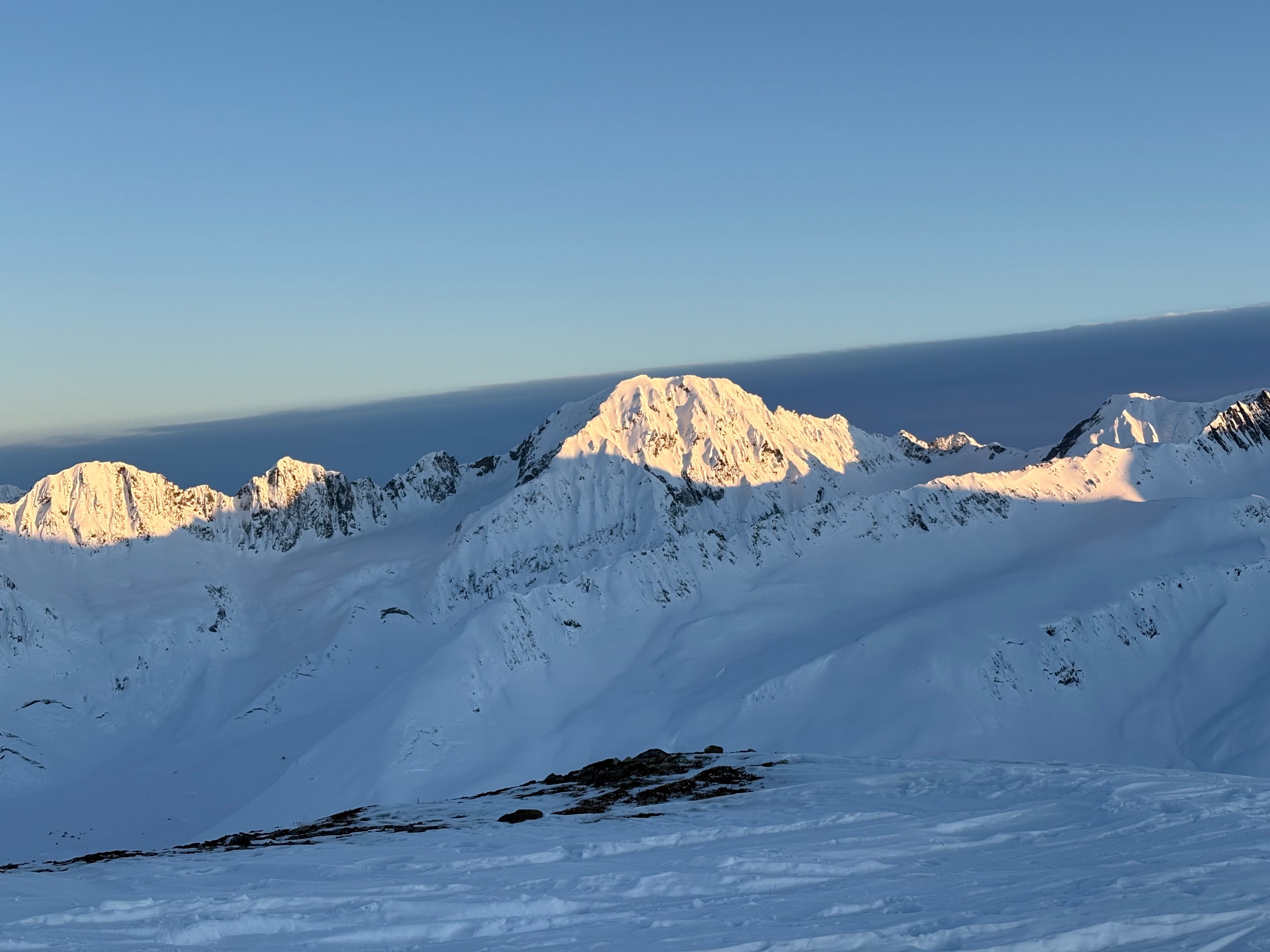
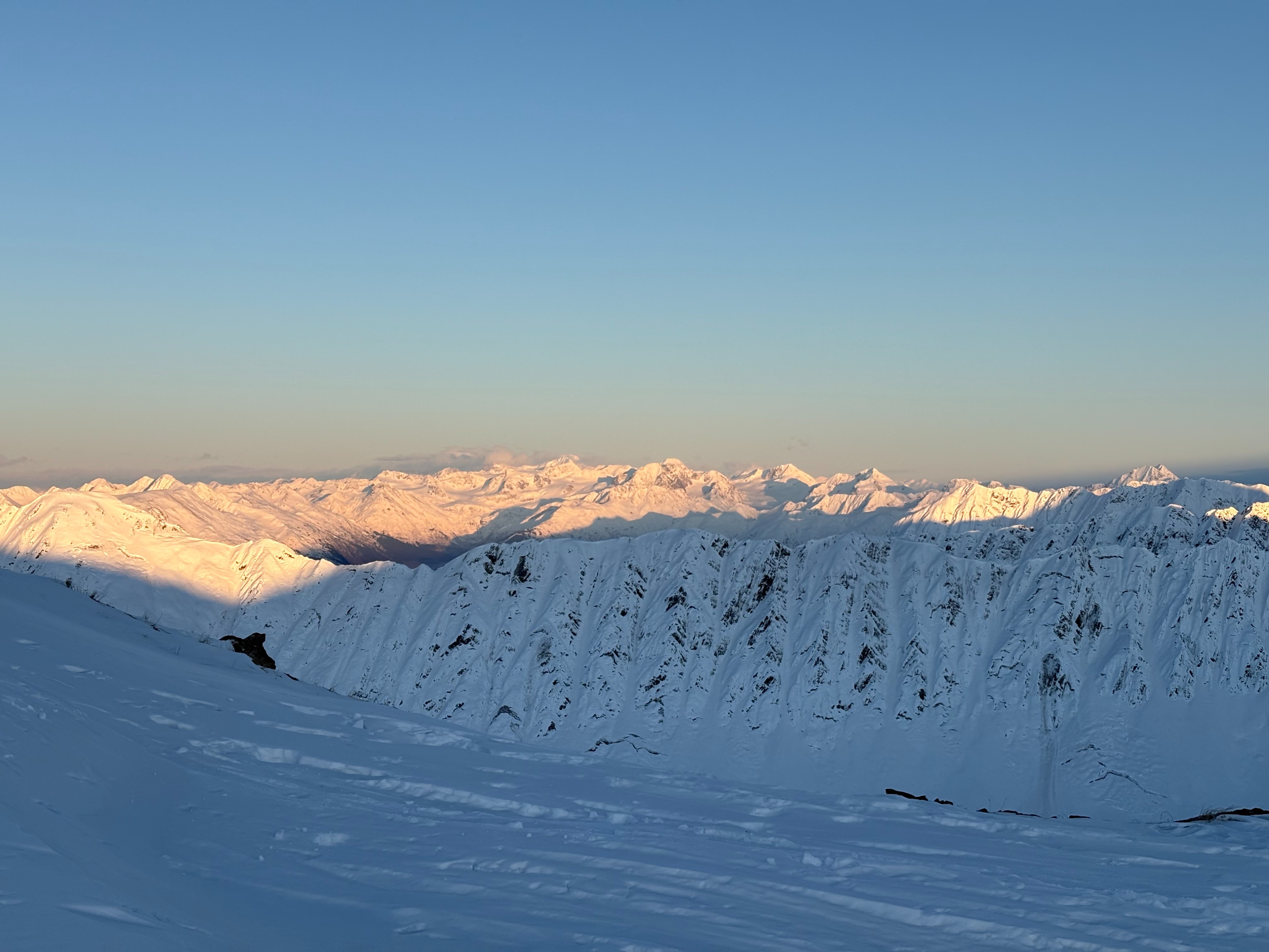
Sunny and clear to start the morning, but around 1:30 PM high scattered clouds rolled in. Visibility remained good as the cloud level was well above all the surrounding peaks. Low elevation clouds along the Turnagain Arm in the afternoon.
Snowpack
We observed large surface hoar crystals atop a breakable crust at lower elevations before it diminished near the top of the alder line around 1800'.
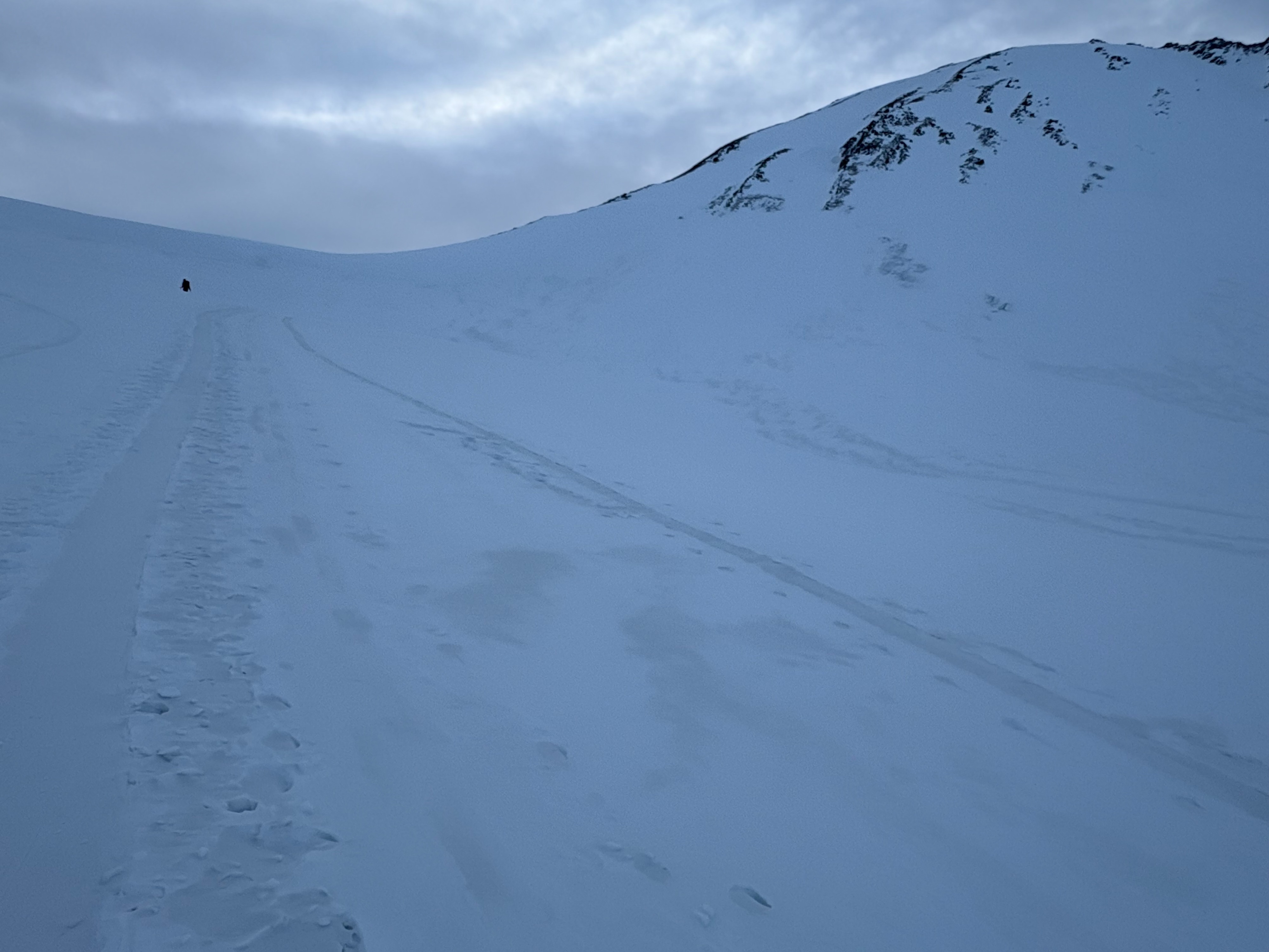
Surface conditions remain highly variable, ranging from a semi-supportable crust to a thin wind skin over facets to very stiff and supportable windboard on many slopes. We observed no new glide activity or recent avalanches as we walked up to Taylor Pass, however this does not mean triggering an avalanche is impossible. We continued to find a crust on most surfaces with sugary facets below. We will continue to monitor this facet layer as it will likely become a concern once we have new snow loading.