
Quick report
Traveled to a reliable location to look for recent avalanche activity.
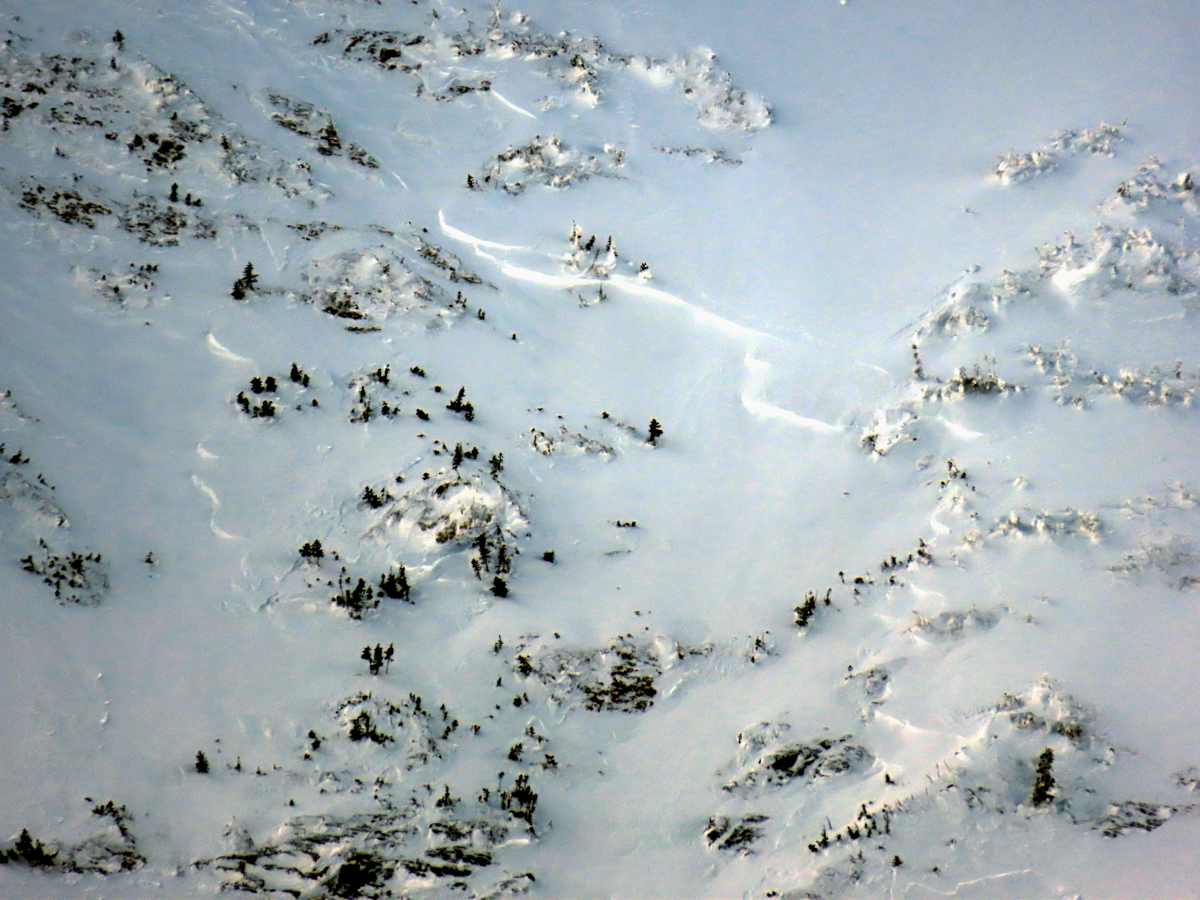
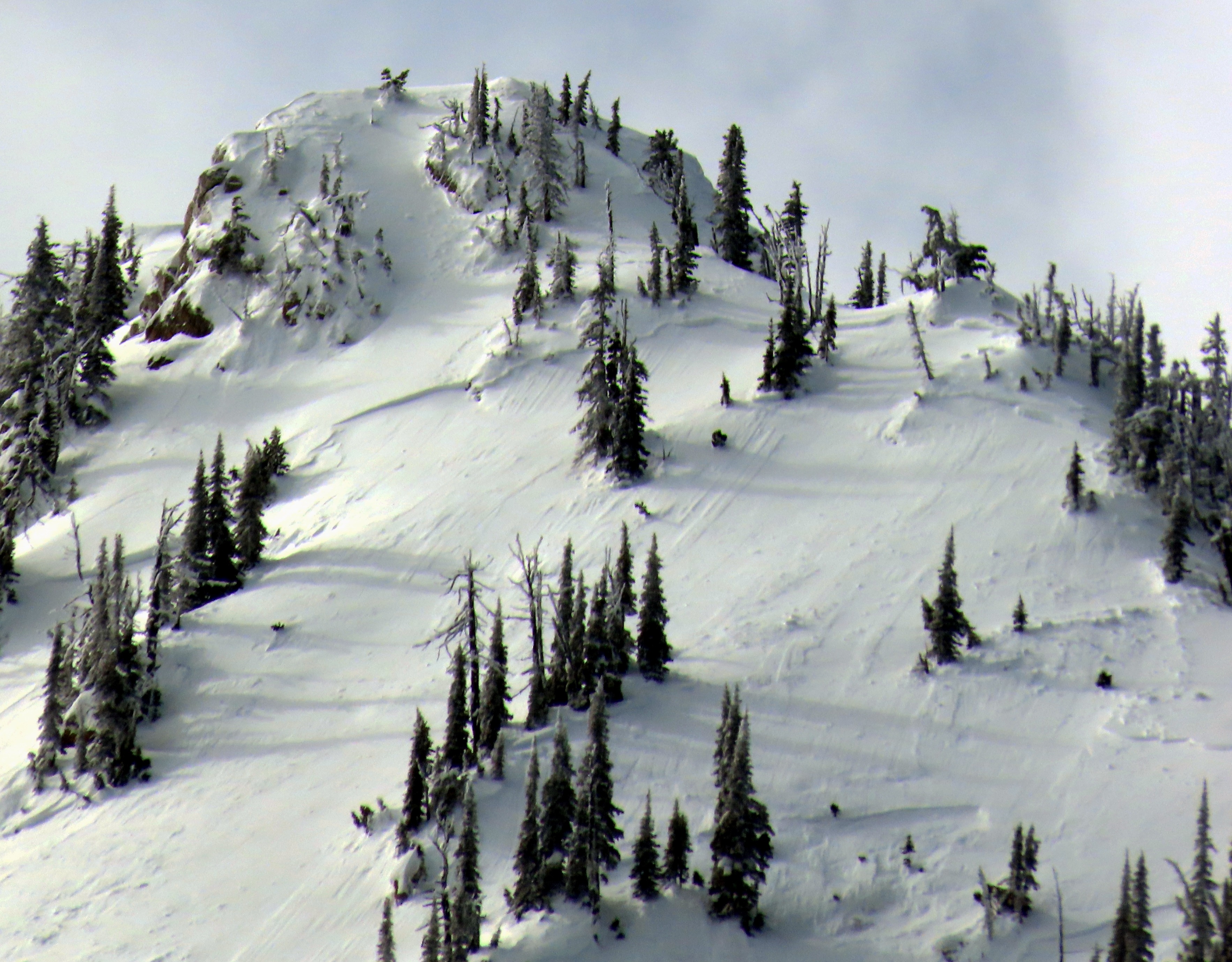
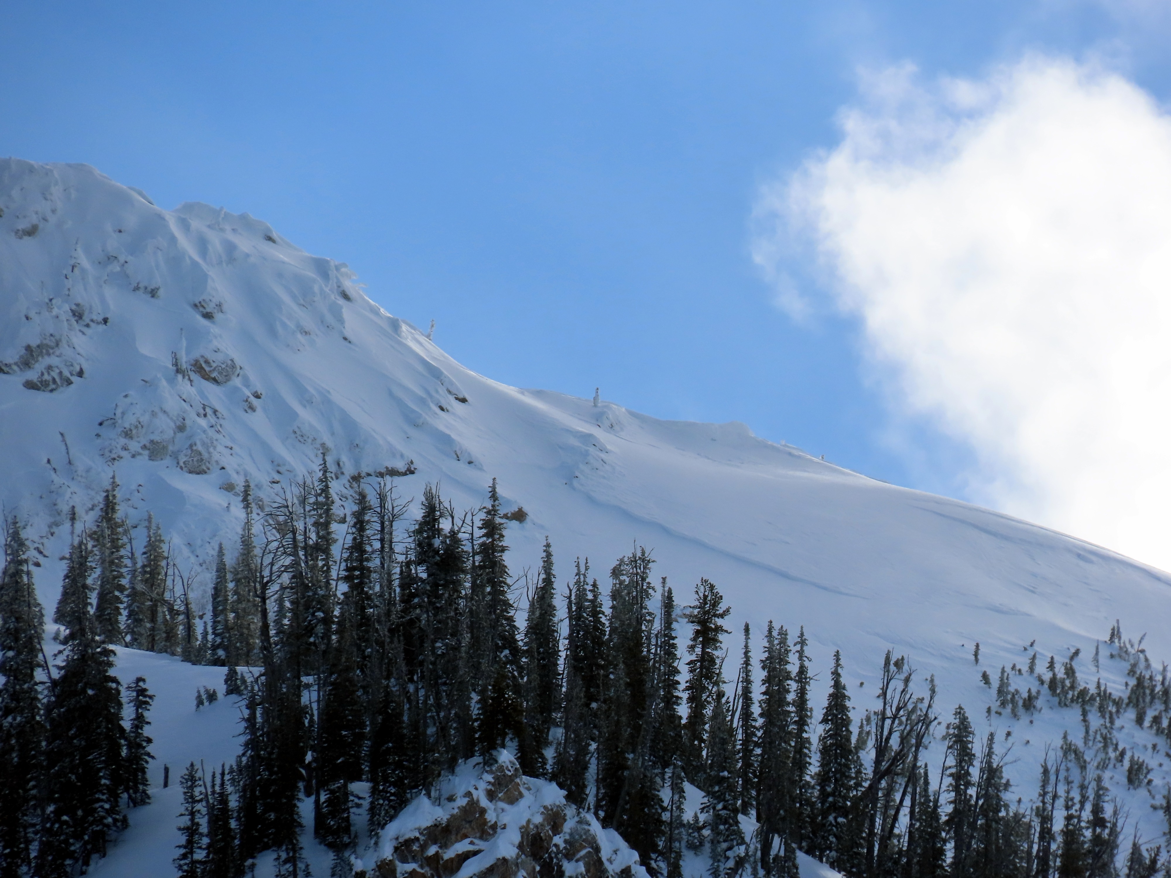
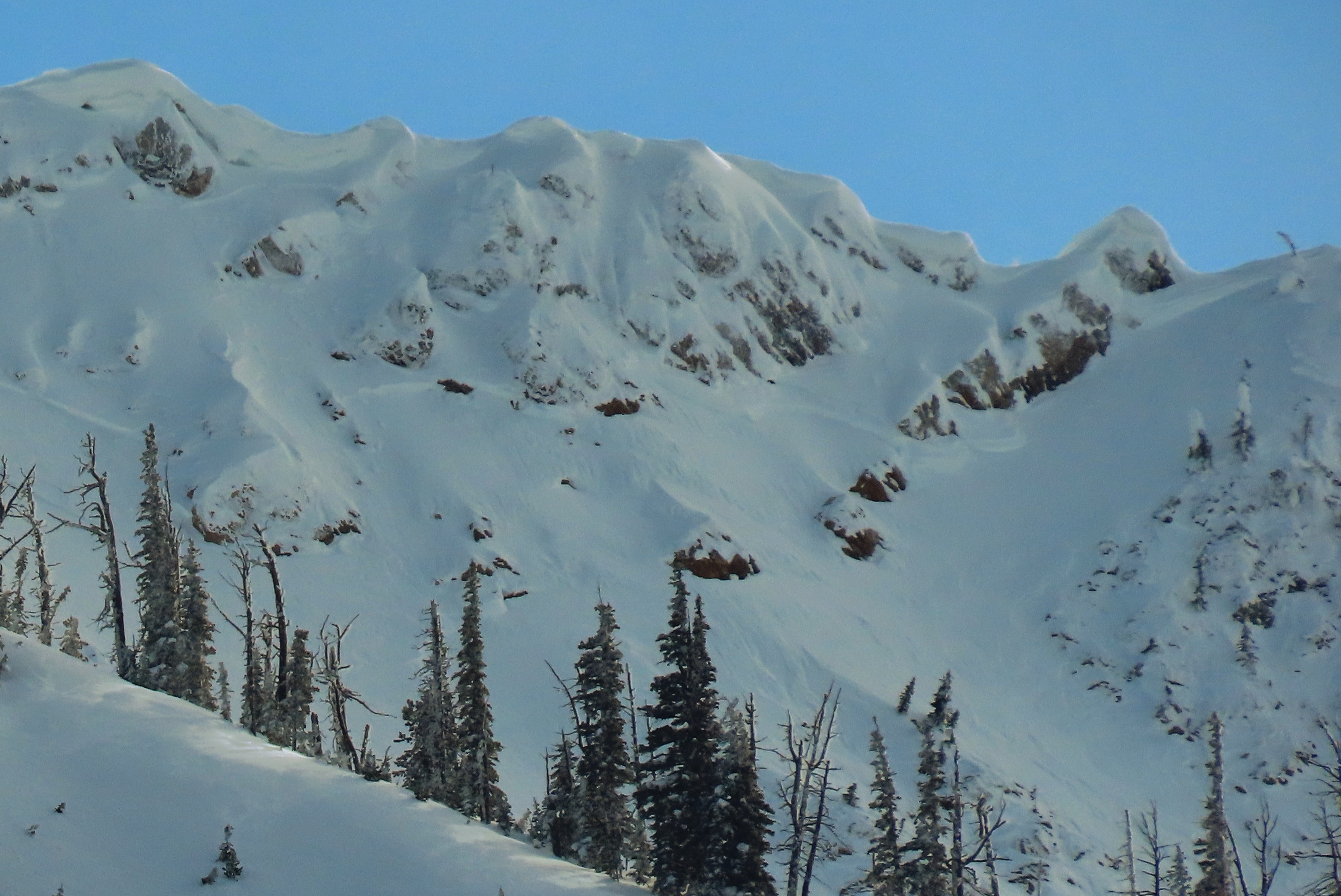
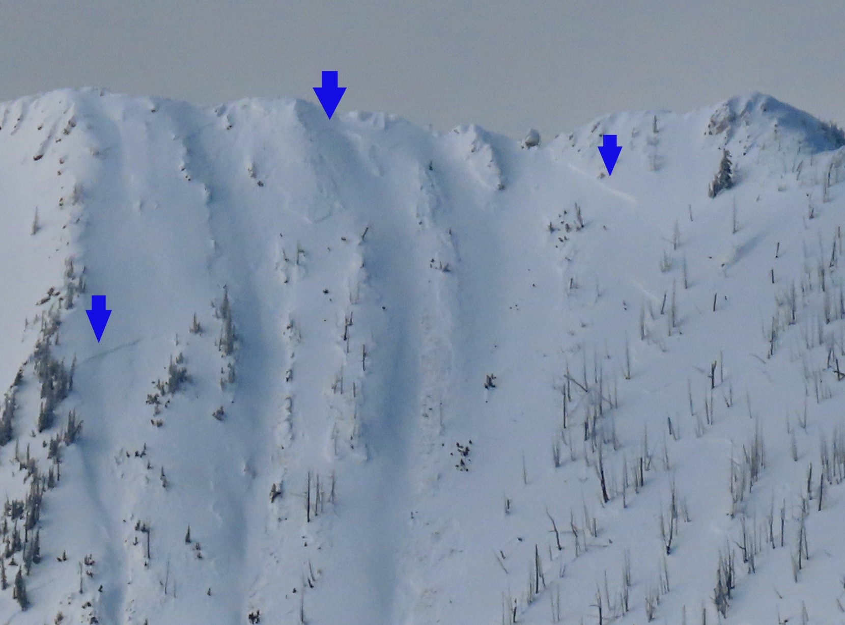
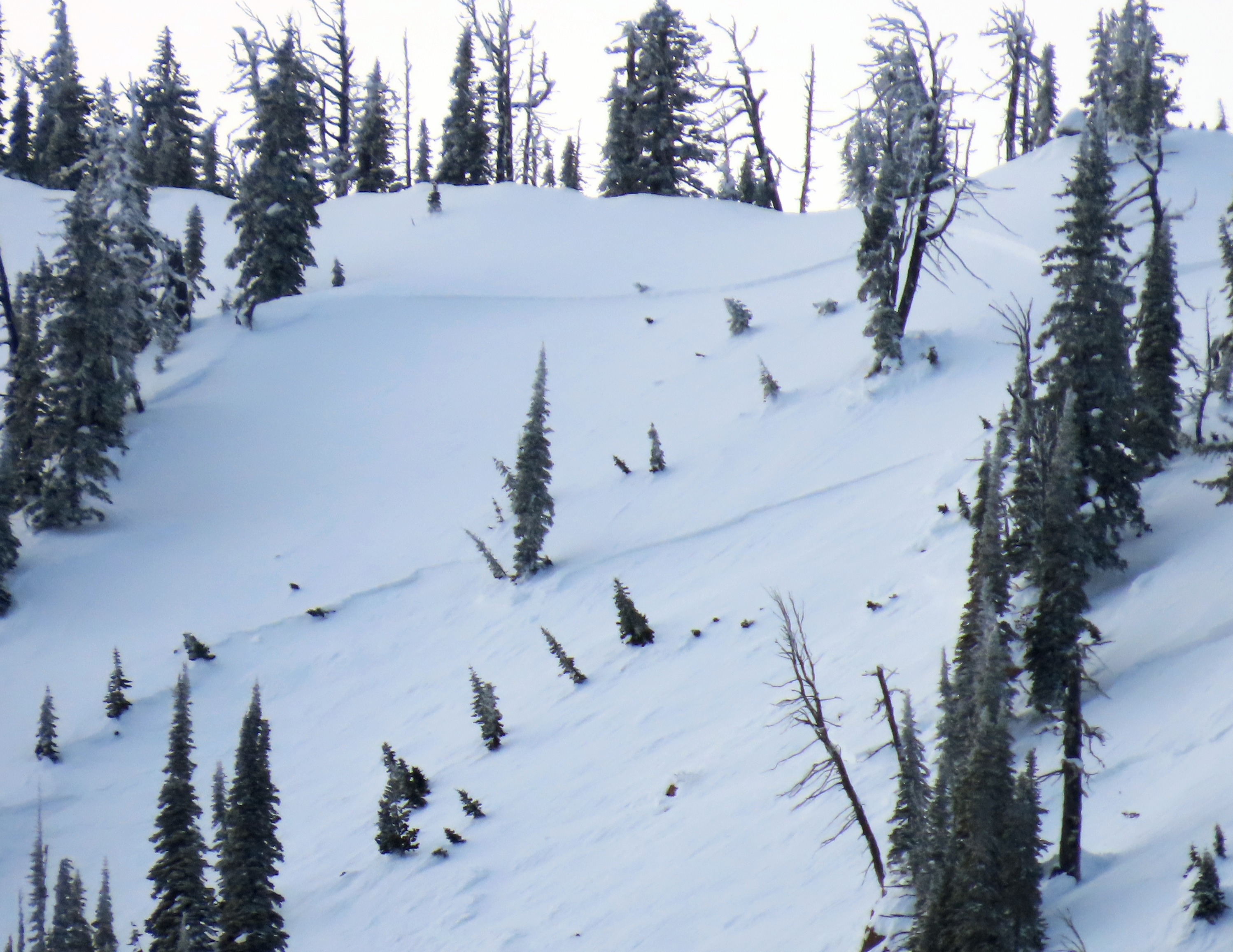
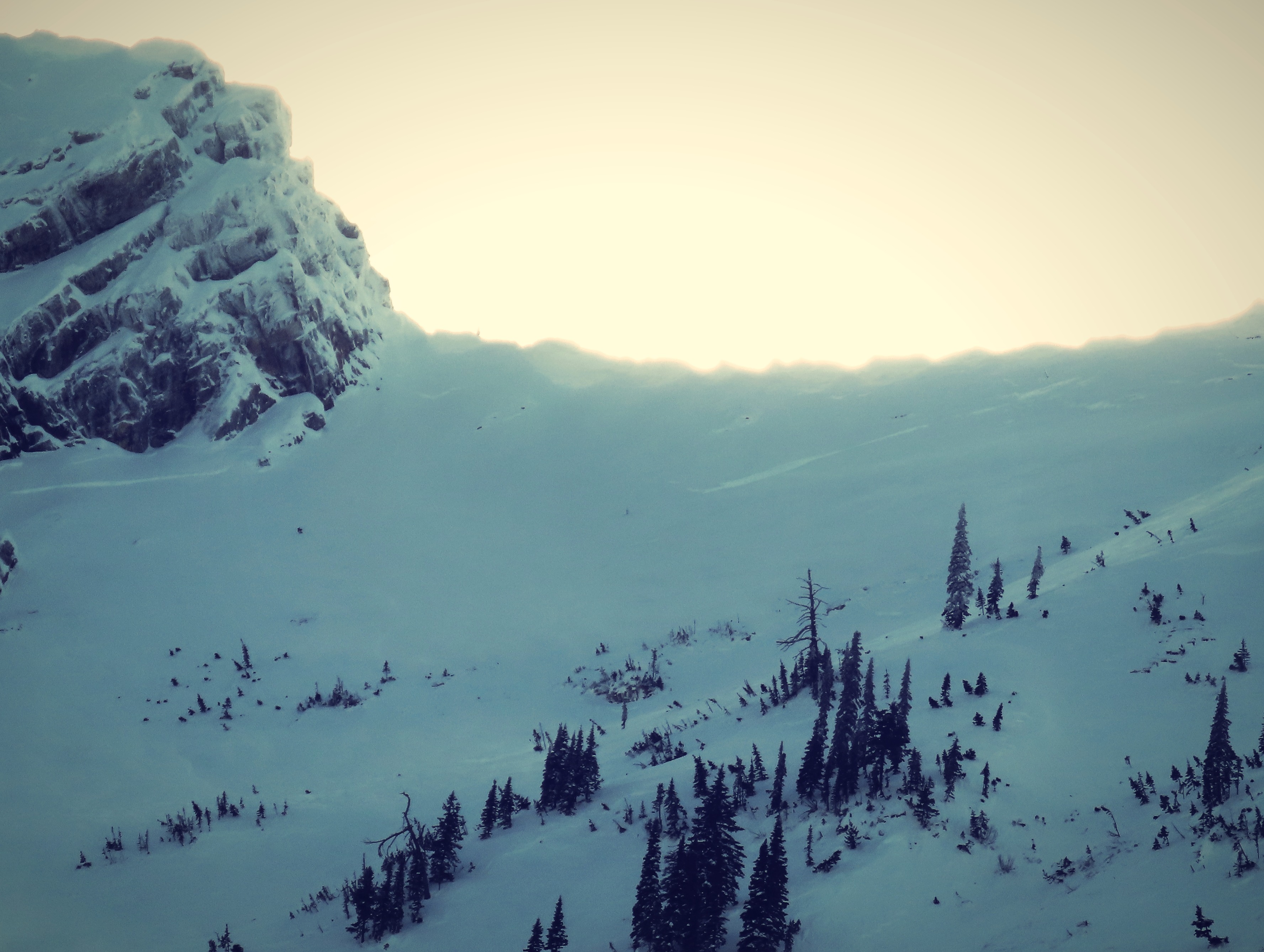
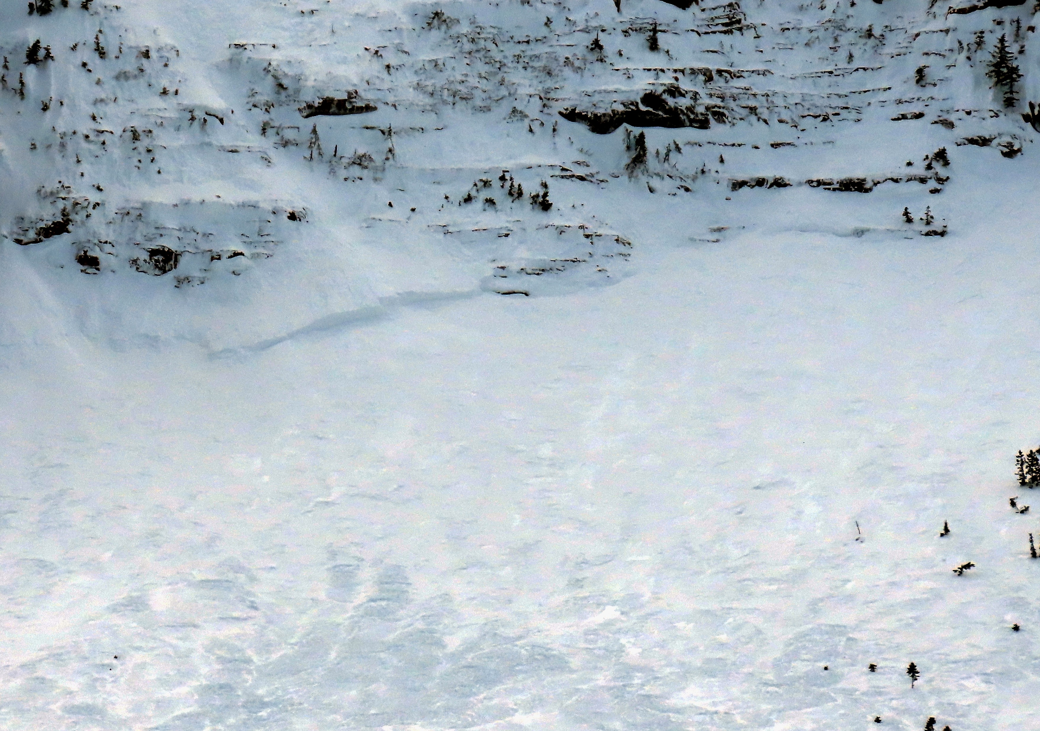
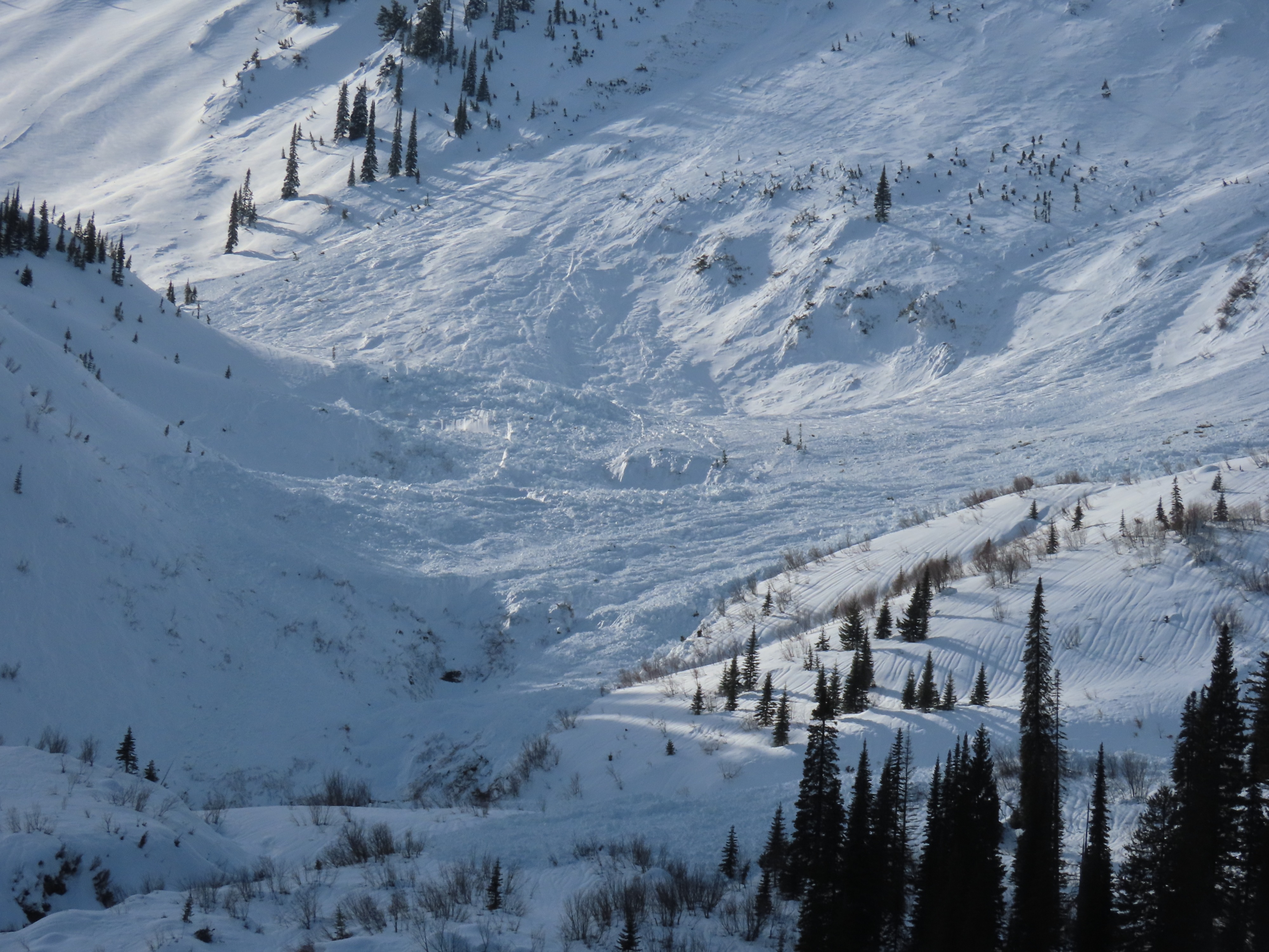
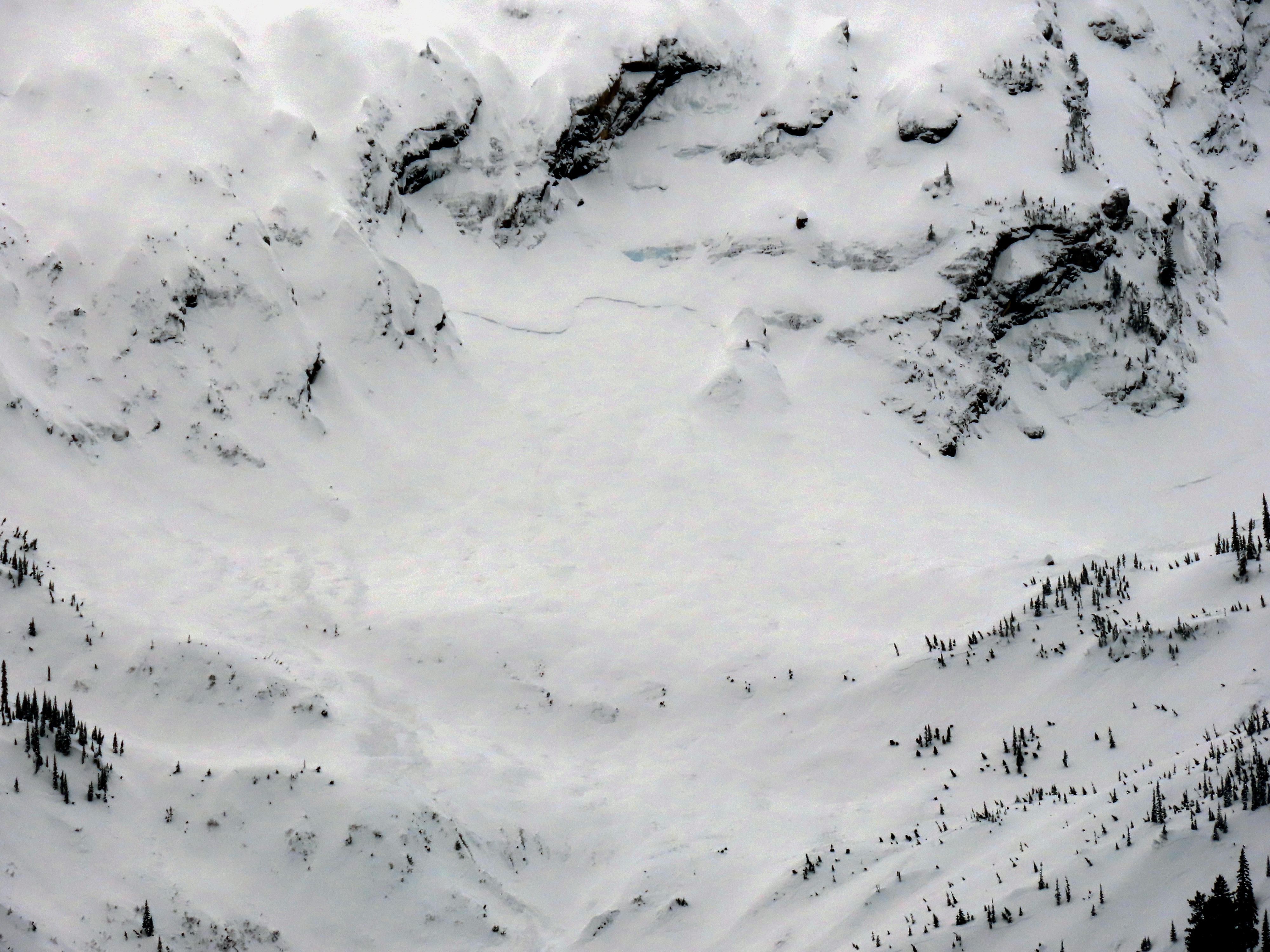
- We noted 20-25 crowns of soft slab avalanches on north, east, and south aspects at mid and upper elevations. These were generally D1.5-2.
- We observed 10-15 hard slab avalanches on the same slopes. These were generally D2-2.5. We did note at least two D3 slides.
- Many of the crowns were partially filled in, which made identification difficult.
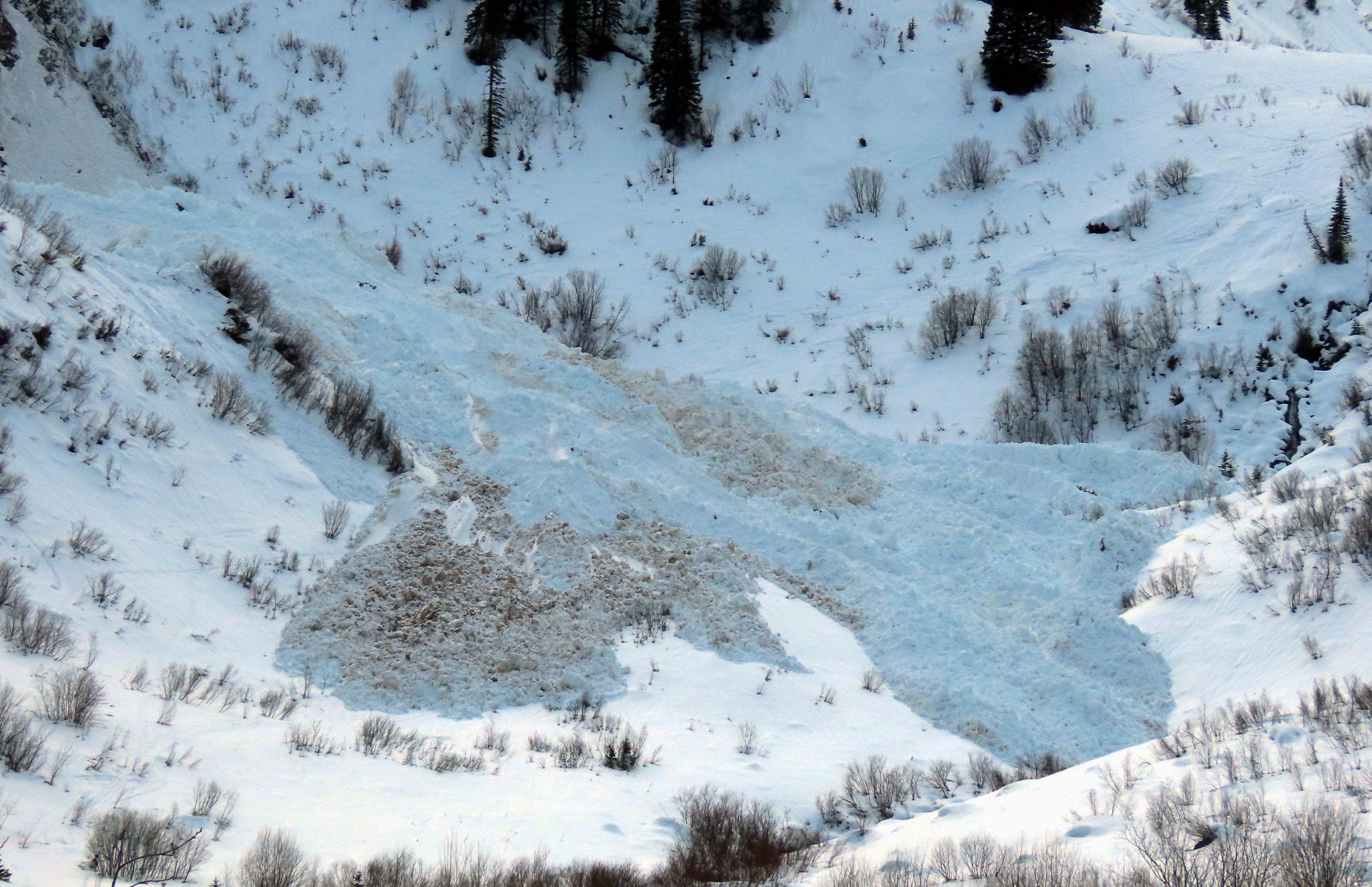
- Lots of crowns and wet loose slides, but the debris piles were mostly average-sized at best for this toilet bowl.
- One debris pile was substantial where two avalanche paths merged. The estimated depth of debris in a gulley was at least 20 feet deep.
- Our journey ended when the hiking trail exited the trees and entered the large open basin. Due to this, we assume we missed seeing a number of crowns and debris piles.
Weather
- Air Temp
- 30
- Cloud Cover
- few
- Wind Loading
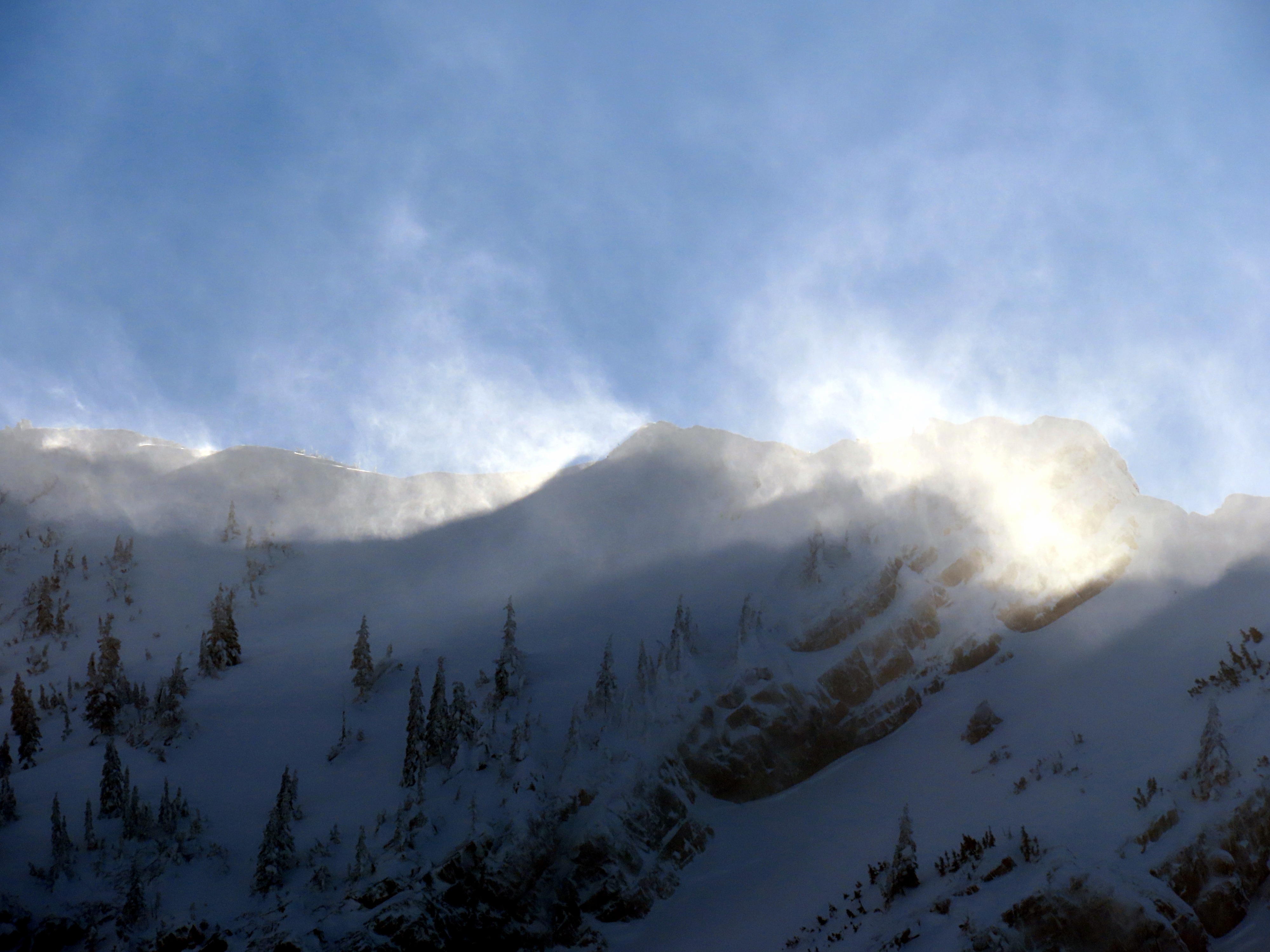
- moderate
- Rain Elevation
- 4000
Snowpack
The snowpack from the trailhead (3500') to our high point (4400') was saturated and unsupportable.
Avalanche
- Size
- D3 R3
- Type
- HS
- Count
- 5
- Aspect
- NE
- Trigger
- N
- Elevation
- 7000 ft
Slides occurred during both pulses of precipitation associated with the Atmospheric River. The evening of the 22 and the morning of the 23. The evening of the 23 and the morning of the 24. Many crowns were partially or mostly filled in due to new and blowing snow.