
Quick report
We visited the Northern Swan Range to get a snapshot of the snowpack between the waning rain event and incoming snow:
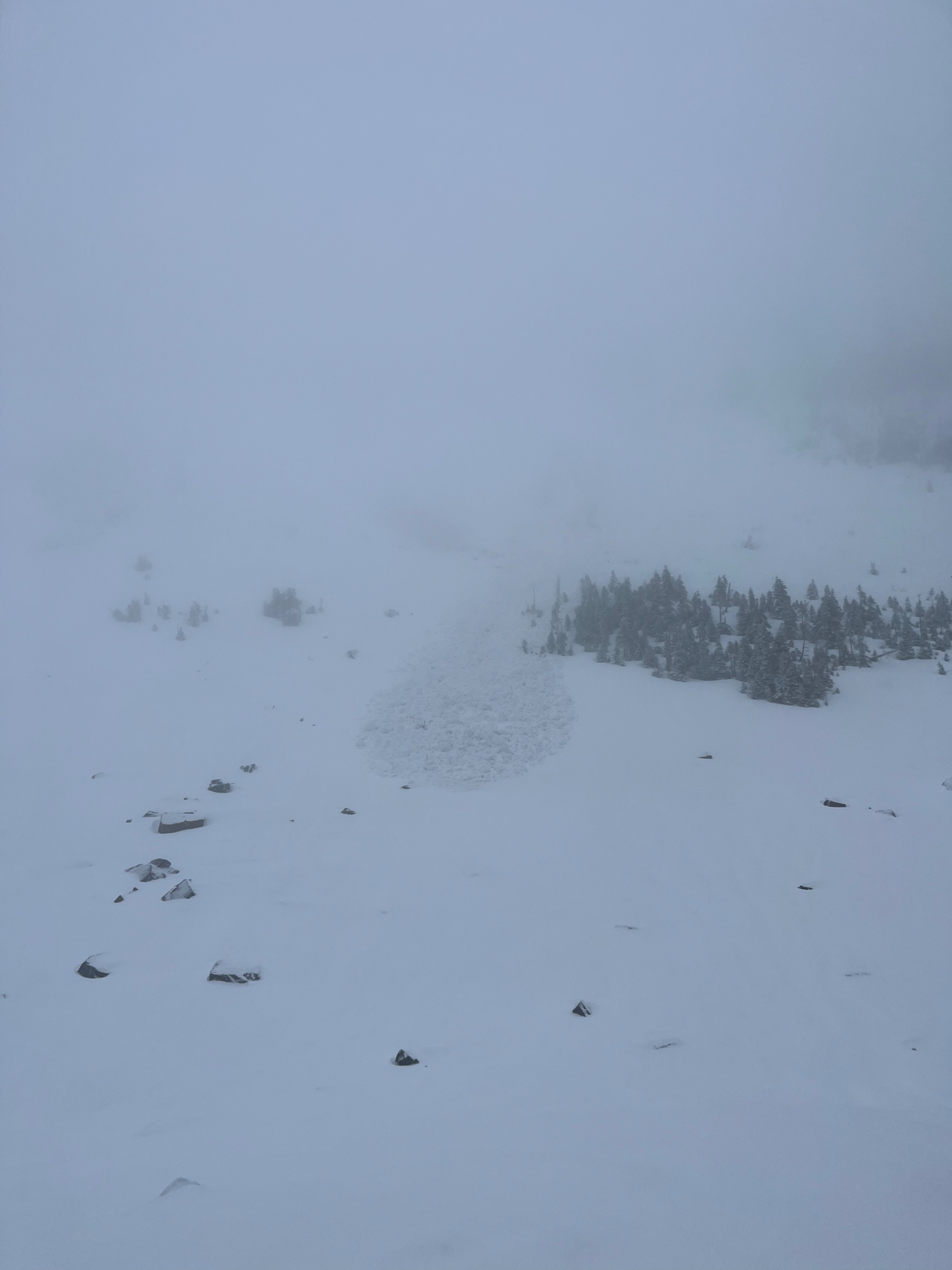
- We noted 2 small wet avalanches that occured in the previous 48 hours
- Wet snow near the surface was begining to refreeze into a crust at upper elevations
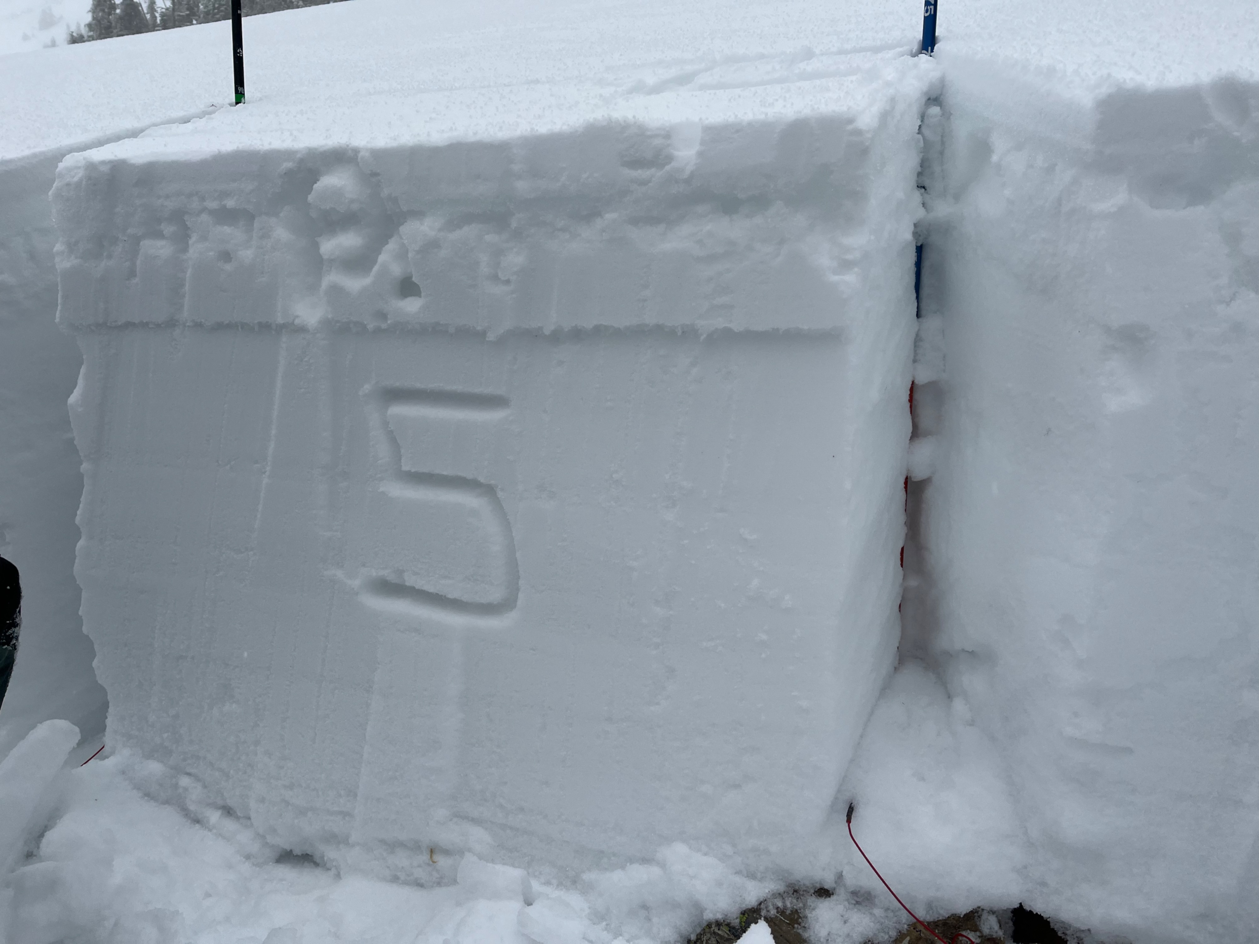
- Large column tests yeilded mixed results on buried weak layers
- Snowfall and wind gusts began in the afternoon as temperatures decrease
- We relied on extreme back-seat skiing to overcome wet snow and abundant obstacles on our descent
Noticed two small wet avalanches that likely failed during rain on snow.
Weather
- Cloud Cover
- obscured
- Wind Loading
- light
- Recent Snowfall
- 3
- Snow Avail For Transport
- small smounts
Low cloud obsurred skies. Bursts of graupel after noon with some moderate gusts. Drove through rain in Bigfork transitioning to heavy snow south of Soup Creek.
Snowpack
Snowpit @6500' NW aspect: 2 cm of fresh precip on top of 12 cm wet snow that was begining to crust. ECTP5, ECTN5 down 25 cm on SH. ECTP25, ECTX down 55cm on FC. 11/7 = 5 cm thick and down 72 cm.
See attached pit profile.
Avalanche
- Size
- D1 R1
- Type
- U
- Count
- 2
- Aspect
- NE
- Trigger
- N
- Elevation
- 6200 ft
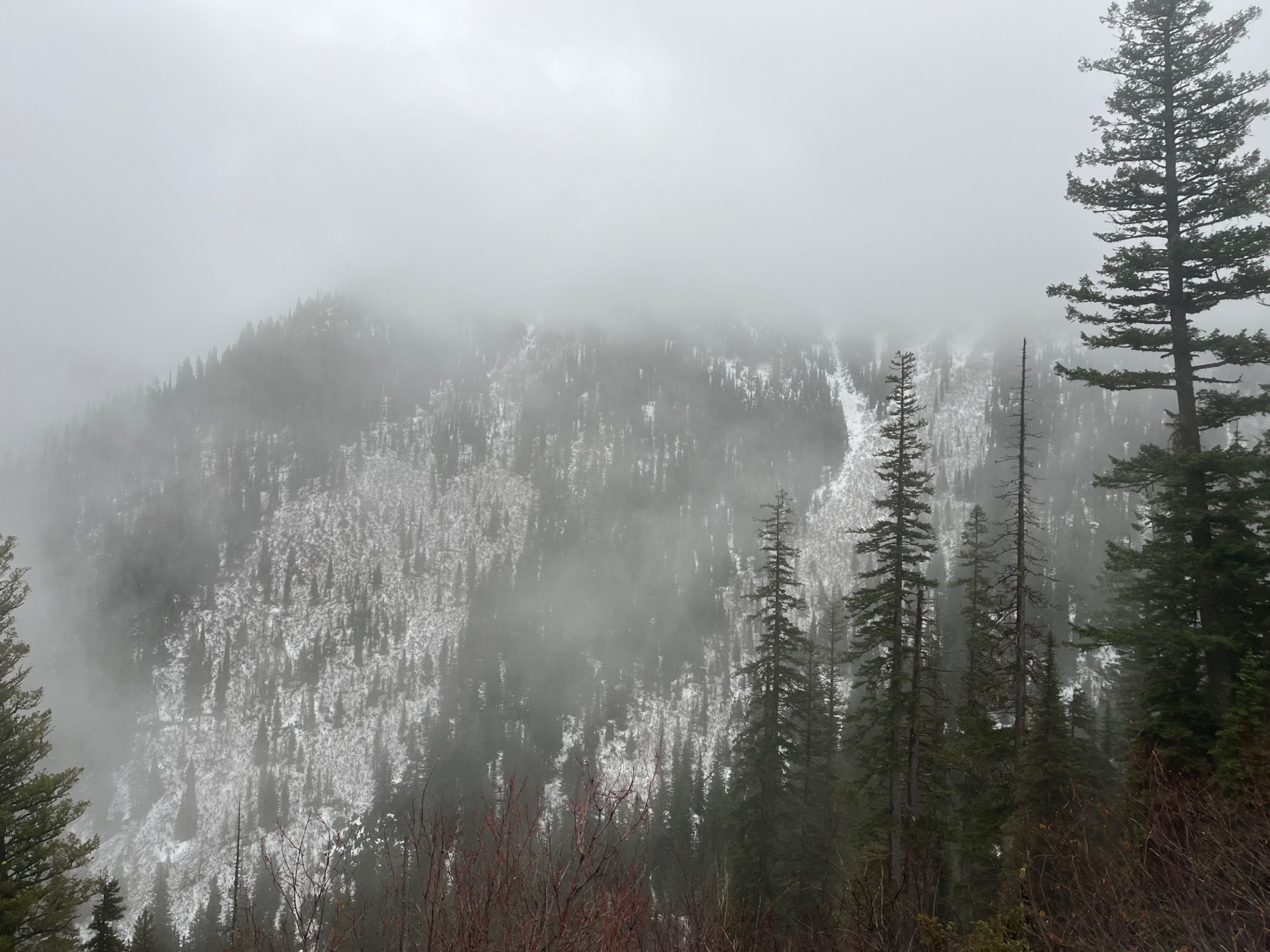
Narrow and thin track leaving exposed rock. Could not see origin or debris pile. Wet Loose or Wet Slab.