
Quick report
We traveled to the western edge of the Flathead Range to get a generalized overview of the snowpack.
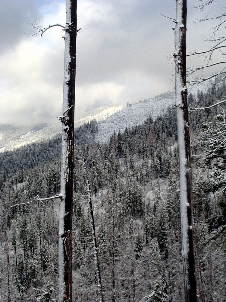
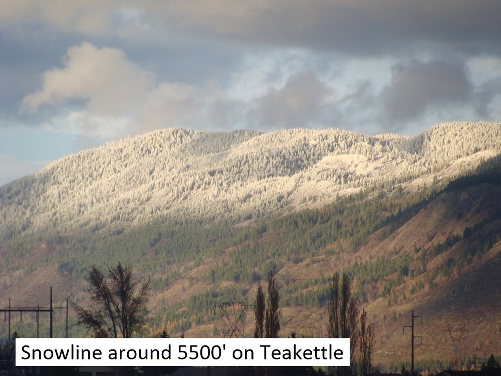
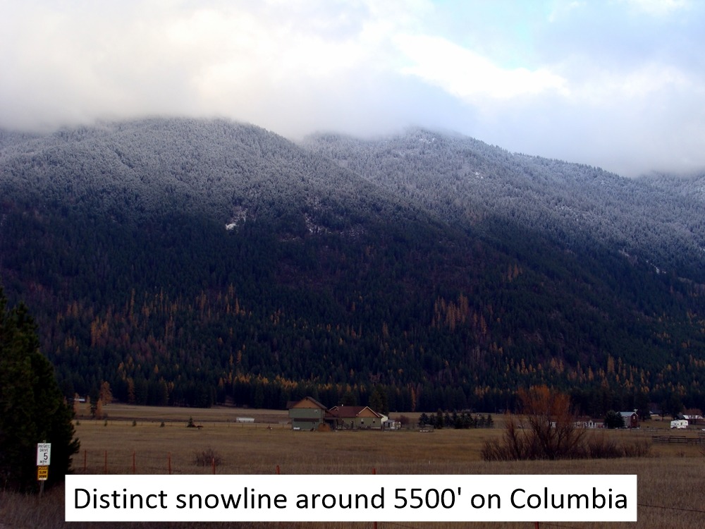
- Before the 11-15-23 storm, most locations below 5500' had melted out with no snow remaining.
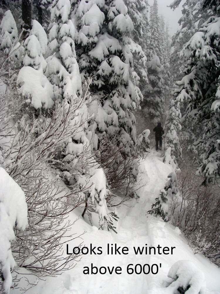
- We were pleasantly surprised to find two feet of snow on the ground on north aspects above 6000'. Solar aspects around this elevation held up to 18".
- We found no evidence of wind-transported snow on the exposed slopes we traveled but assumed westerly winds had drifted snow onto leeward terrain along the Flathead Crest.
- Snowpack and snowpit data can be found under the Snowpack header.
Weather
- Air Temp
- Below freezing
- Cloud Cover
- obscured
- Wind Loading
- none
- Rain Elevation
- 3500
- Recent Snowfall
- 30
- Snow Avail For Transport
- moderate amounts
Obscured skies and cool temperatures above 5000 feet kept the snow surface cold and dry. Brief periods of afternoon sunshine below 4500 feet with snow falling from tree branches and sections of ground melting out.
Snowpack
24-hour snow totals varied from 2" at 4000', 6" at 5000', and 12" at our high point of 6300'.
The snowpack depth at 6300' = 24".
The bottom of the pack consists of a 1" thick pencil hard crust resting on 4" of faceted snow.
The snowpack in this location was soft (4 Finger), and we had no propagation in our Extended Column Test. There was a failure in a Compression Test on a thin zipper crust beneath the new and old snow (CT 13). We also noted a failure beneath the crust in the faceted snow (CT 22).