
Quick report
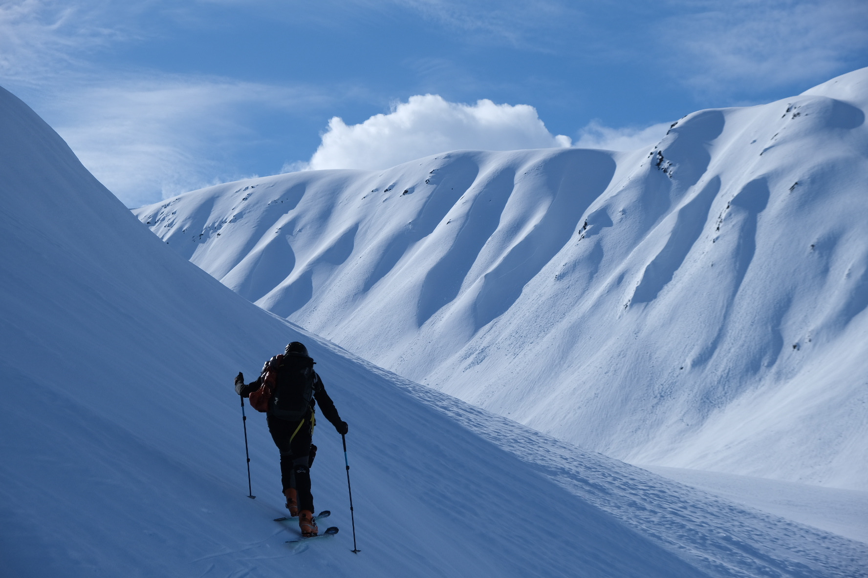
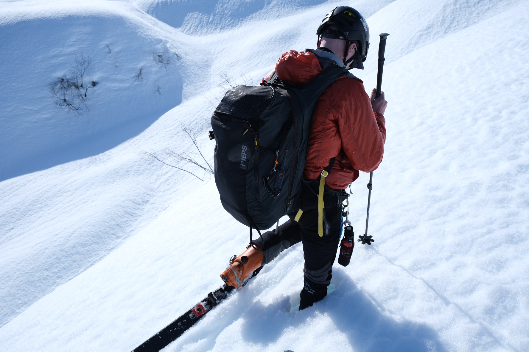
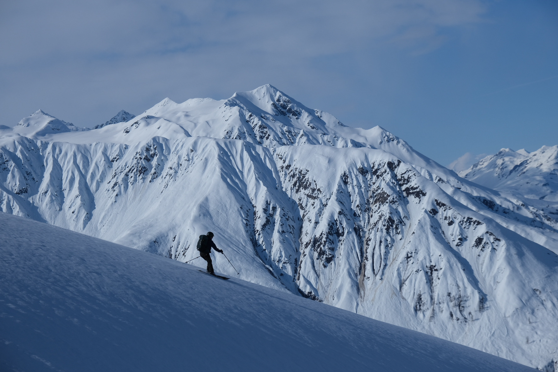
Spring skiing with melt-freeze conditions that heated up on solar aspects and remained rock-hard on shaded slopes. Old avalanche crowns and debris provided clues of persistent layers bridged by strong surface crusts. The brief rain event early this week warmed up and refroze last week's cold dry snow. Areas we avoided were slopes with terrain traps and isothermal snow where you sunk into deep. Alpine solar heating didn't seem to produce natural activity but those aspects were suspect.
Weather
- Cloud Cover
- clear
- Rain Elevation
- 3000ft
- Recent Snowfall
- 1
- Snow Avail For Transport
- small smounts
Beautiful sunny day with a few cloud bands in the distance. Mostly calm with a light west wind. Warmed up during the day.
Snowpack
The diurnal melt-freeze cycle locked up the snow even down on the river flats. Softer snow was found in the forest and became isothermal on E-aspects below 2,500ft by noon. Refrozen rain runnel was present up to around 3,200ft where thin crust started and eventually turned into a softer more edgable snow closer to 4,000ft. Looked like last weekend's powder that was over the St. Patty's crust warmed up with the 3/25 precip event and formed the thin crust. There was minimal loose activity above 3,000ft on slopes greater than 35 degrees except for two dry loose around 4,800ft on an NE-aspect. Probably cold enough at the elevation for drier powder.
Avalanche
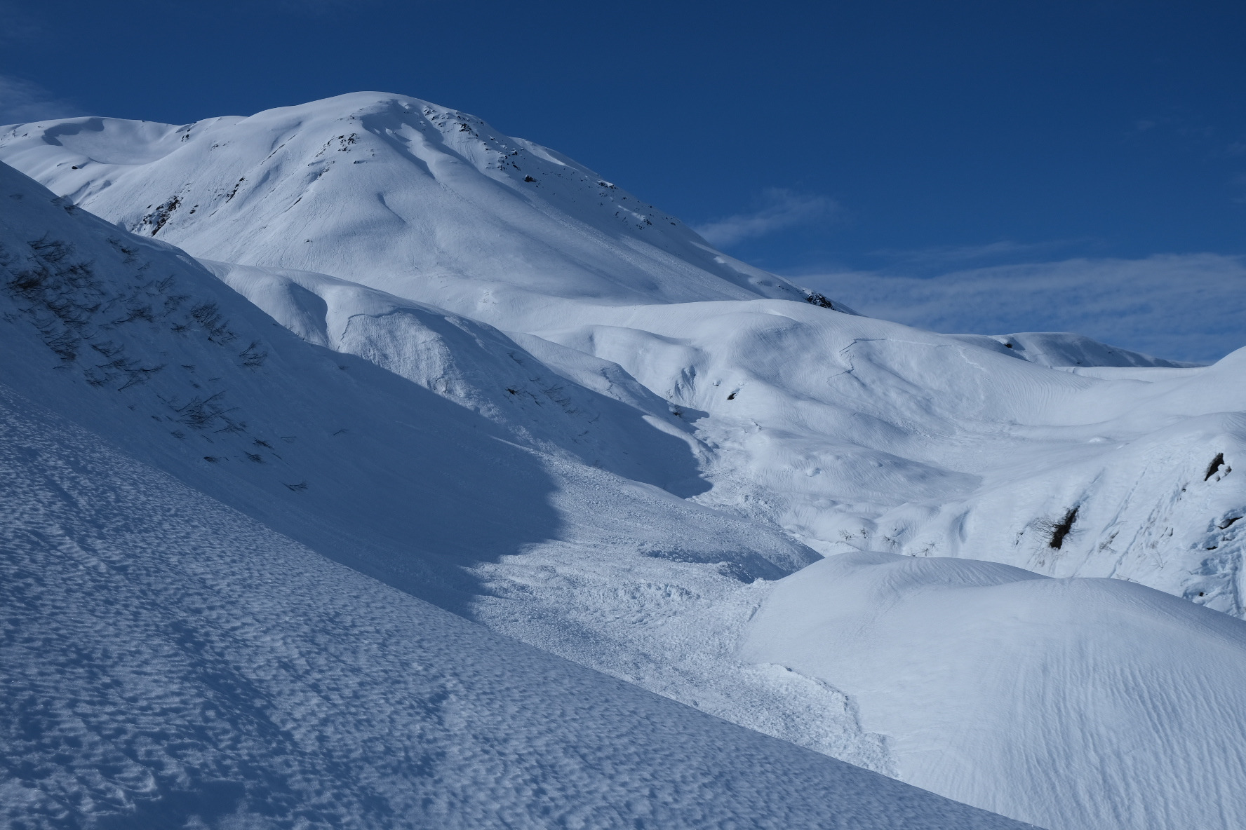
Saw a variety of old avalanche crowns and debris from the 3/16 cycle up to D2-2.5. A few more recent point releases were observed most likely from 3/25 precip event.