
Quick report
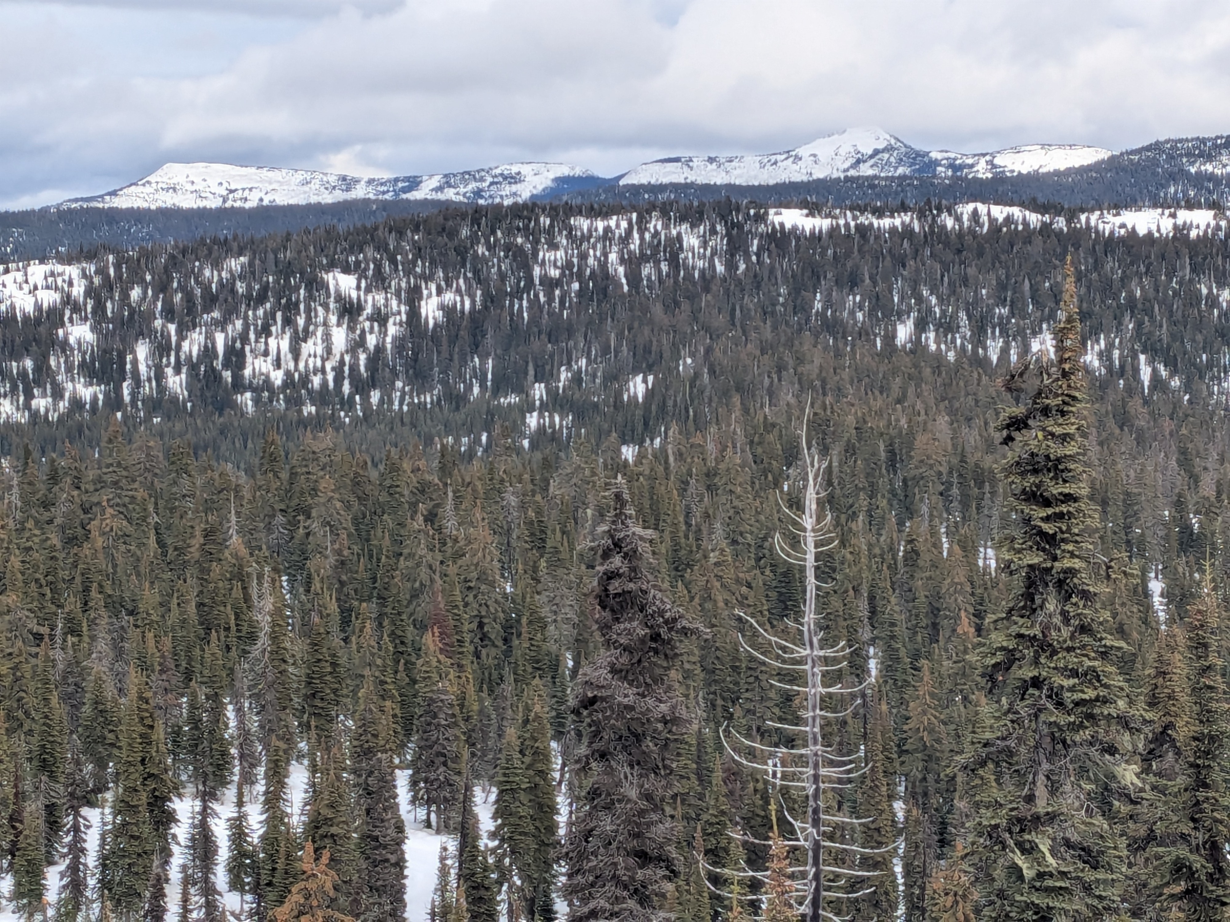
Evidence of significant rainfall over the past two days at all elevations. We found a moist snowpack top to bottom. Snow depths ranged 12 to 18 inches around 5,500 feet and below. Depths increased to around two feet at 6,000 feet. The evolution of the current snowpack structure will likey hinge on how long temperatures remain above freezing.
Weather
- Cloud Cover
- overcast
- Wind Loading
- none
- Recent Snowfall
- none
- Snow Avail For Transport
- none
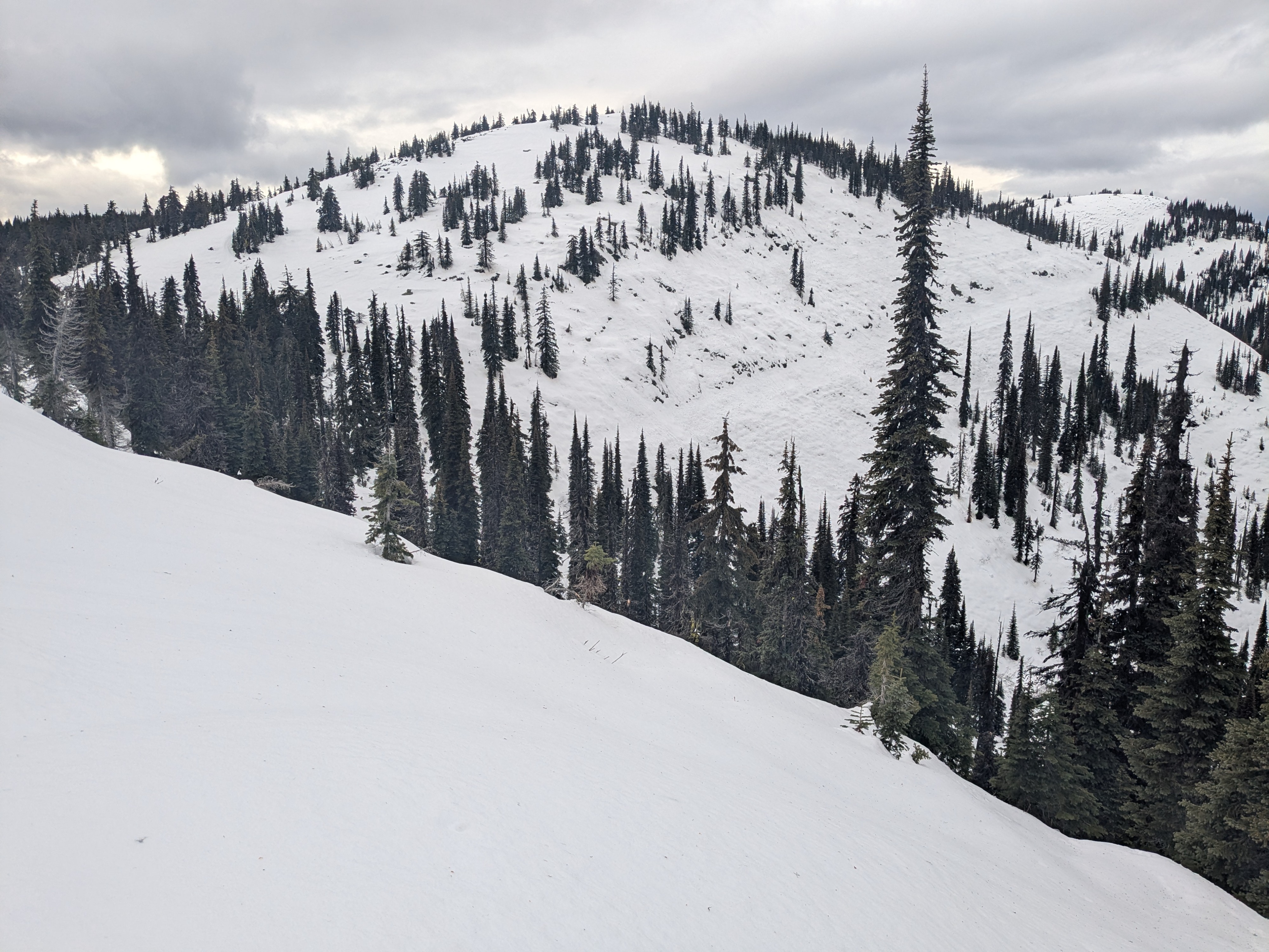
Good visibly with mostly overcast skies, no precipitation. Calm to very light ridge winds, no snow transport.
Snowpack
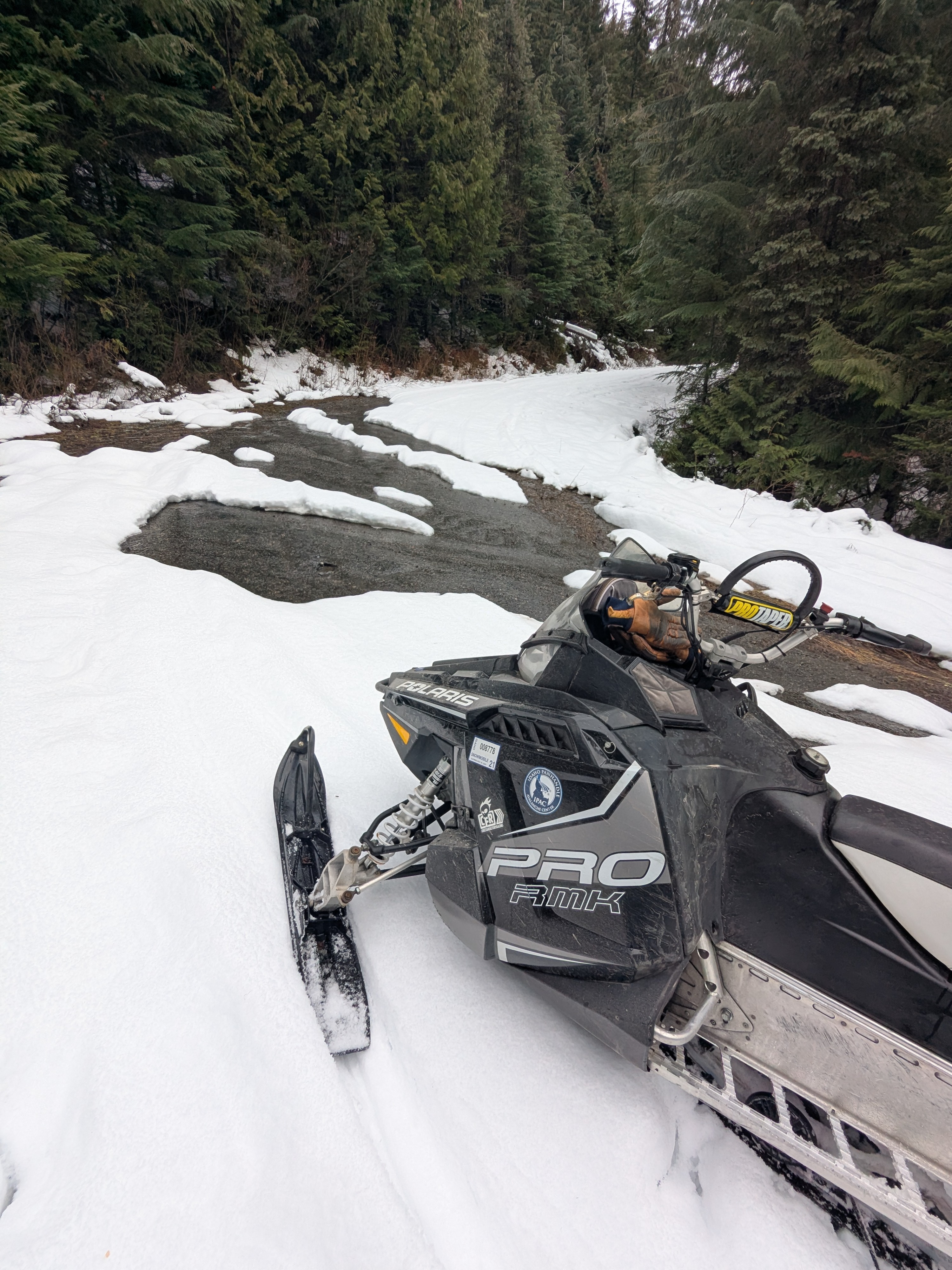
At 5500 feet, we found a moist snowpack and snow covered ditches had running water underneath. A very thin snow surface crust existed at this elevation. Below this elevation, snowpack depths rapidly diminish and become negilgable around 4,000 feet.
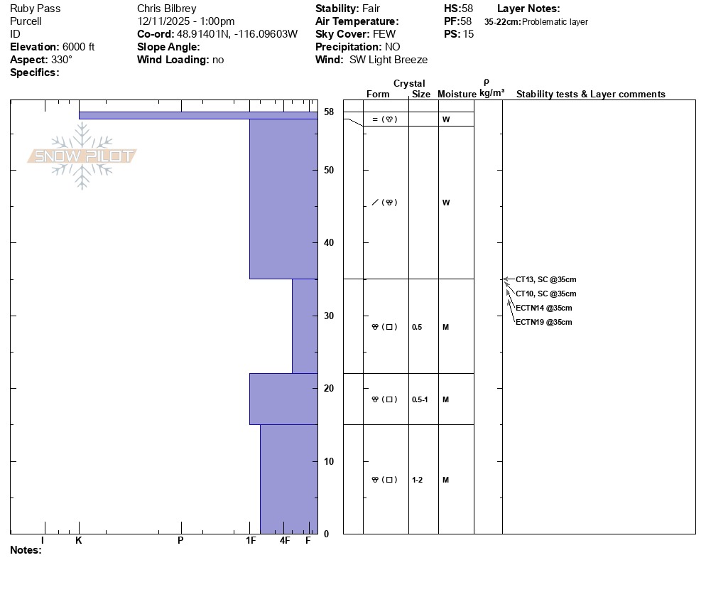
At 6,000 feet, recent temperatures have been cold enough for the snow surface to refreeze into a 1cm thick (K-hard) crust. At this elevation, on a northwest aspect above Spruce Lake, height of snowpack was 50 to 60 cm (20 to 24 inches) and moist throughout. We observed sudden collapse Compression Test results but non-propagating results in Extended Column Test - CT13 SC, CT10 SC, ECTN 19 about 20 cm down. From subtle changes in snow hardness and angular grains (1mm), we infer the 20 cm deep layer is the December 1 faceted interface. Older crusts buried within the snowpack were broken down and difficult to find. Besides the snow surface crust, the resulting snowpack hand hardness profile presented 4 Finger to 1 Finger differences throughout.