
Quick report
Stability tests and general snowpack observations show a snowpack that is trending towards improved stability as the sugary snow gains strength and windslabs are becoming difficult to trigger. My biggest concern is the current surface of the snowpack, which could pose a problem if we add a significant slab this weekend. Only time will tell. I will also add that we have limited data in this range after last weekends rain event so proceed with curiosity if travelling into the mountains this week.
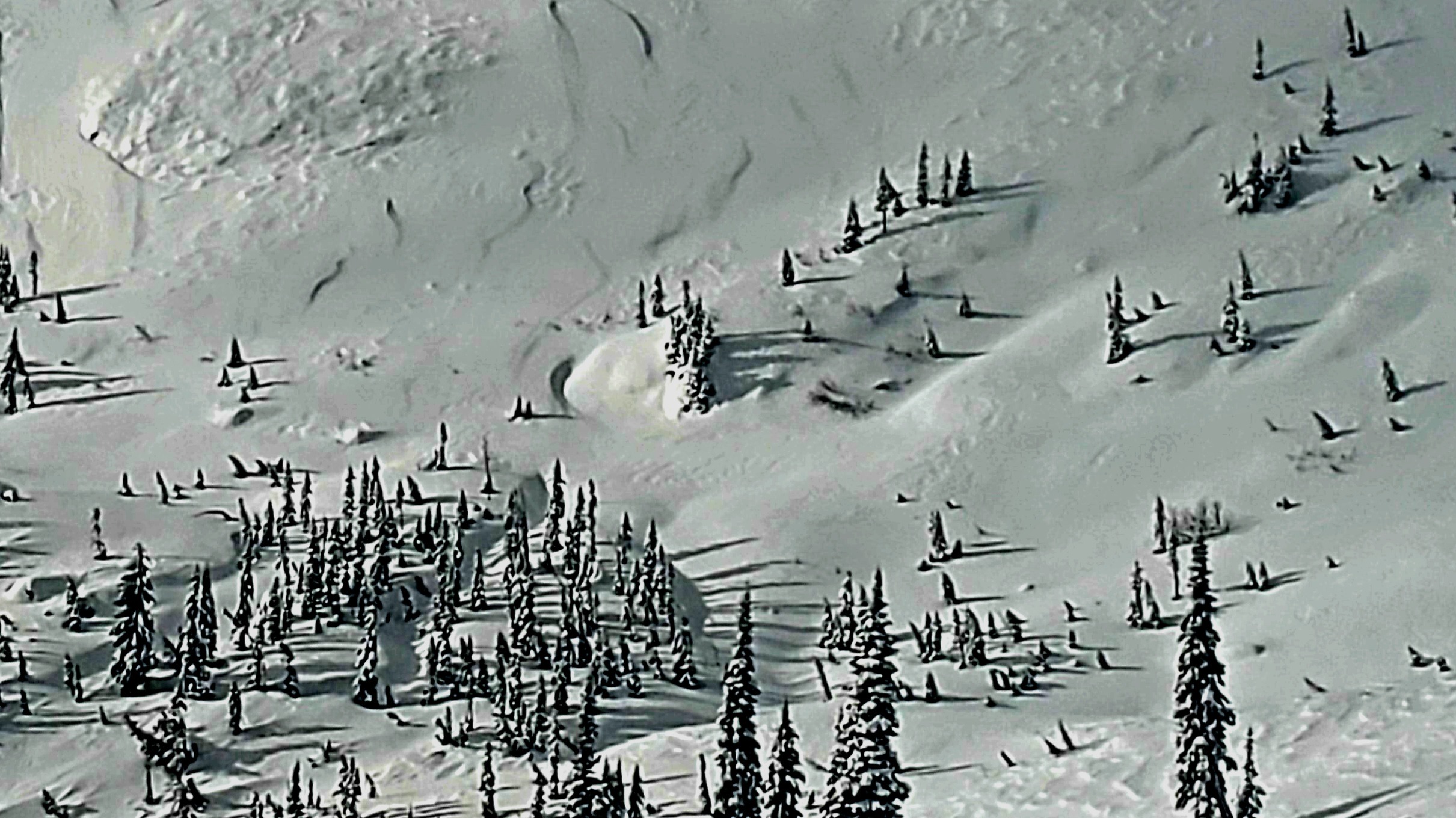
Very few signs of instability observed in snowpack surface. Most notable instabilities were seen in the top 2-4" of snow that had become compressed into a thin slab on all aspects at treeline and above. While currently low in concern and consequence it may be conducive to producing avalanches if we see significant snowfall this weekend.Weather
- Air Temp
- 27
- Cloud Cover
- scattered
- Wind Loading
- light
- Rain Elevation
- 6,000' (Dec. 7th event)
- Recent Snowfall
- 0
- Snow Avail For Transport
- small smounts
Weather consisted of partly cloudy skies with moderate to strong winds. Predicted winds at upper elevations for the day consisted of light winds out of the SW but we encountered sustained winds in the upper teens with gusts in the upper 20's that seemed to be coming out of all directions. Our best guess is that the 6-7,500' elevation band was the mixing height elevation at which general winds and terrain driven winds were battling each other at upper elevations.
Snowpack
Stability test results on north easterly aspect at 6,500' revealed a failure on the facets above the 11/23 rain crust but did not propagate (ECTN8 and CT11/Q2). Stability tests on southerly aspect resulted in ECTX and CT21/Q2 on the December 7th rain crust. The weak and sugary snow resting above the 11/23 rain crust appears to have gained significant strength as a result of the warmer temperatures and rainfall on December 7th. We observed that the evidence of rain from the December 7th event up to 6,000' mark. The rain crust that developed from this event averaged 1 to 1.5 inches in thickness and was strong enough to support both skier and snowmobiler. The December rain event also seems to have taken care of much of last weeks surface hoar below 6,000'. Moderate to strong winds were present throughout the day but most of the snowpack surfaces have become firm which minimized snow transport.