
Quick report
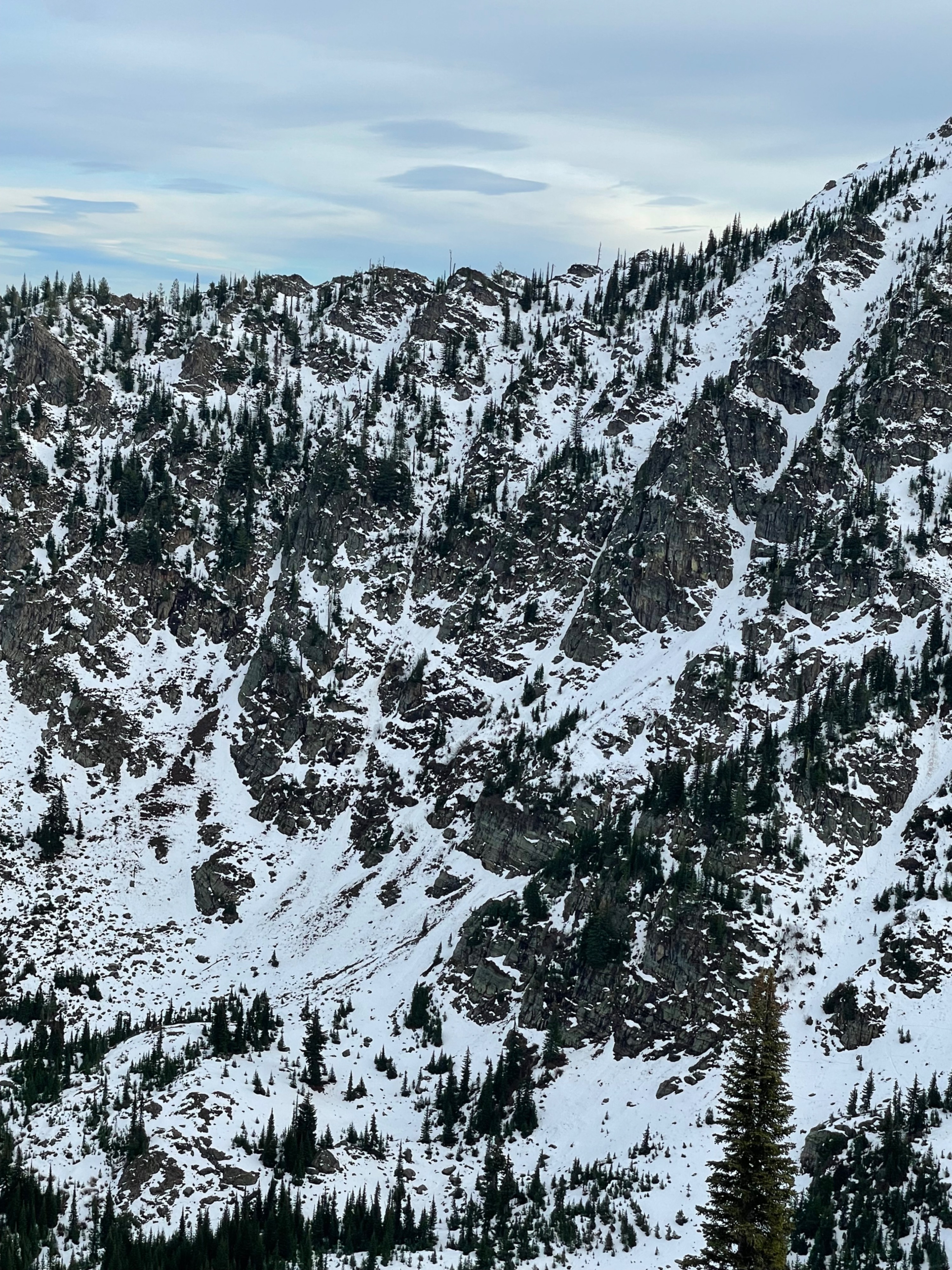
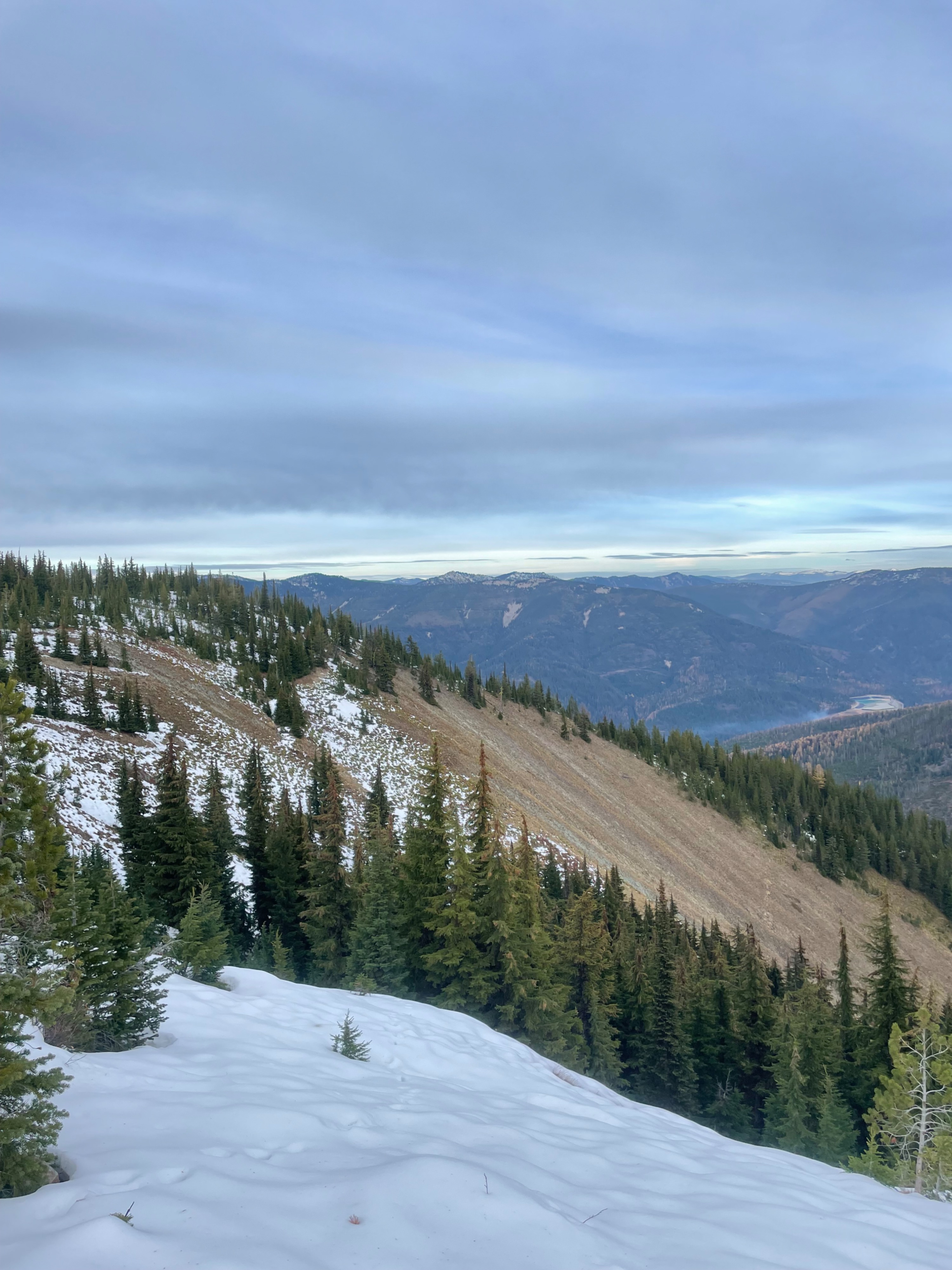
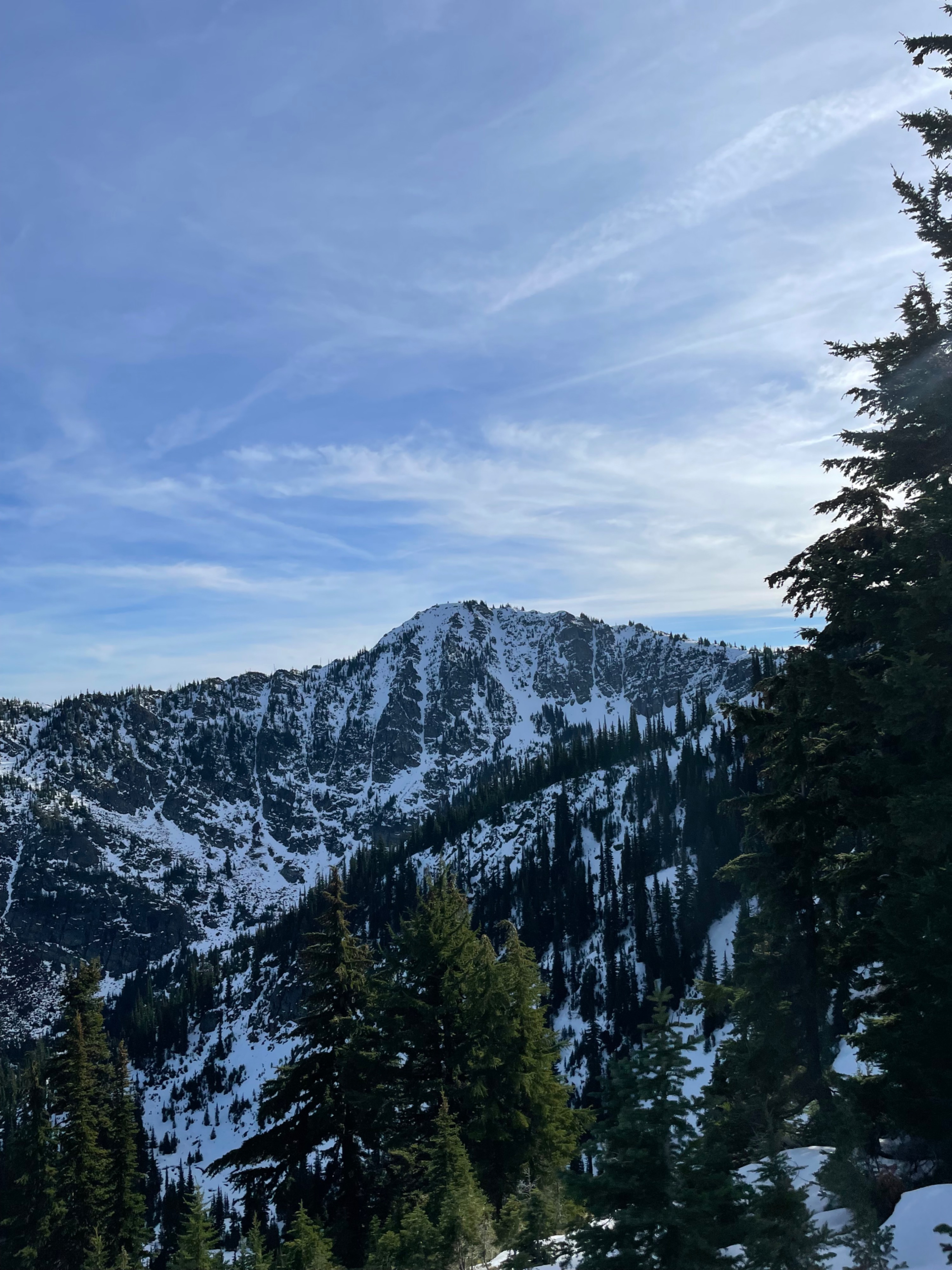
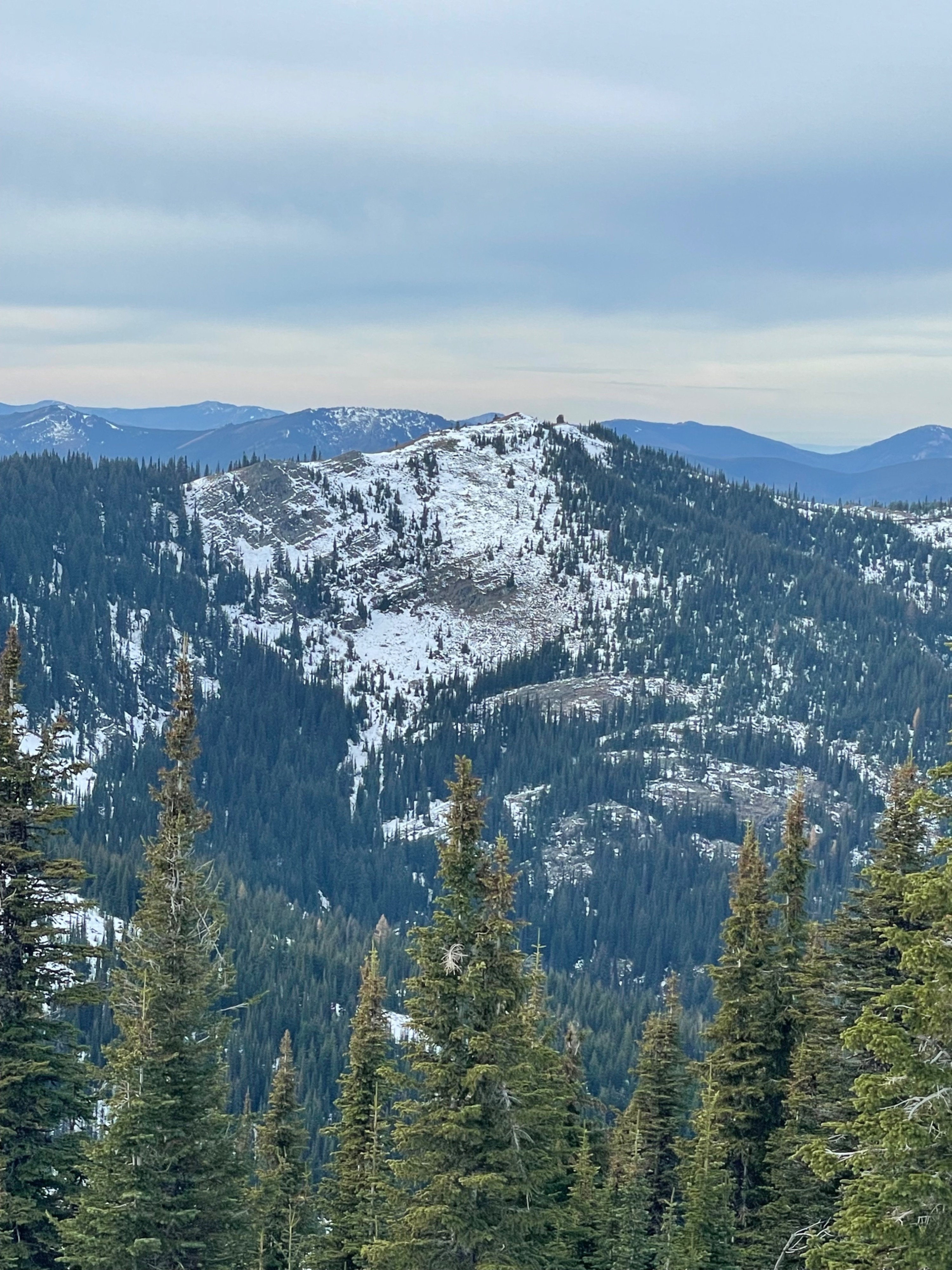
Warmer temperatures and mild weather have drastically moved the snow line up and depleated a good portion of the snowpack. This is painfully obvious on solar aspects, where some south and west facing slopes between 6000'-6500' have been reduced to mostly bare ground. Shaded, mostly north-east facing gullies are still clinging onto snow.
Observed no current signs of instability.Weather
- Cloud Cover
- broken
- Snow Avail For Transport
- none
Pleasent day, with temps mostly in the 40sF. Calm winds, with light gusts on ridgeline. Initial morning clouds gave way to brief sunny skies before a thin cloud layer hovered most of the time in the field.
Snowpack
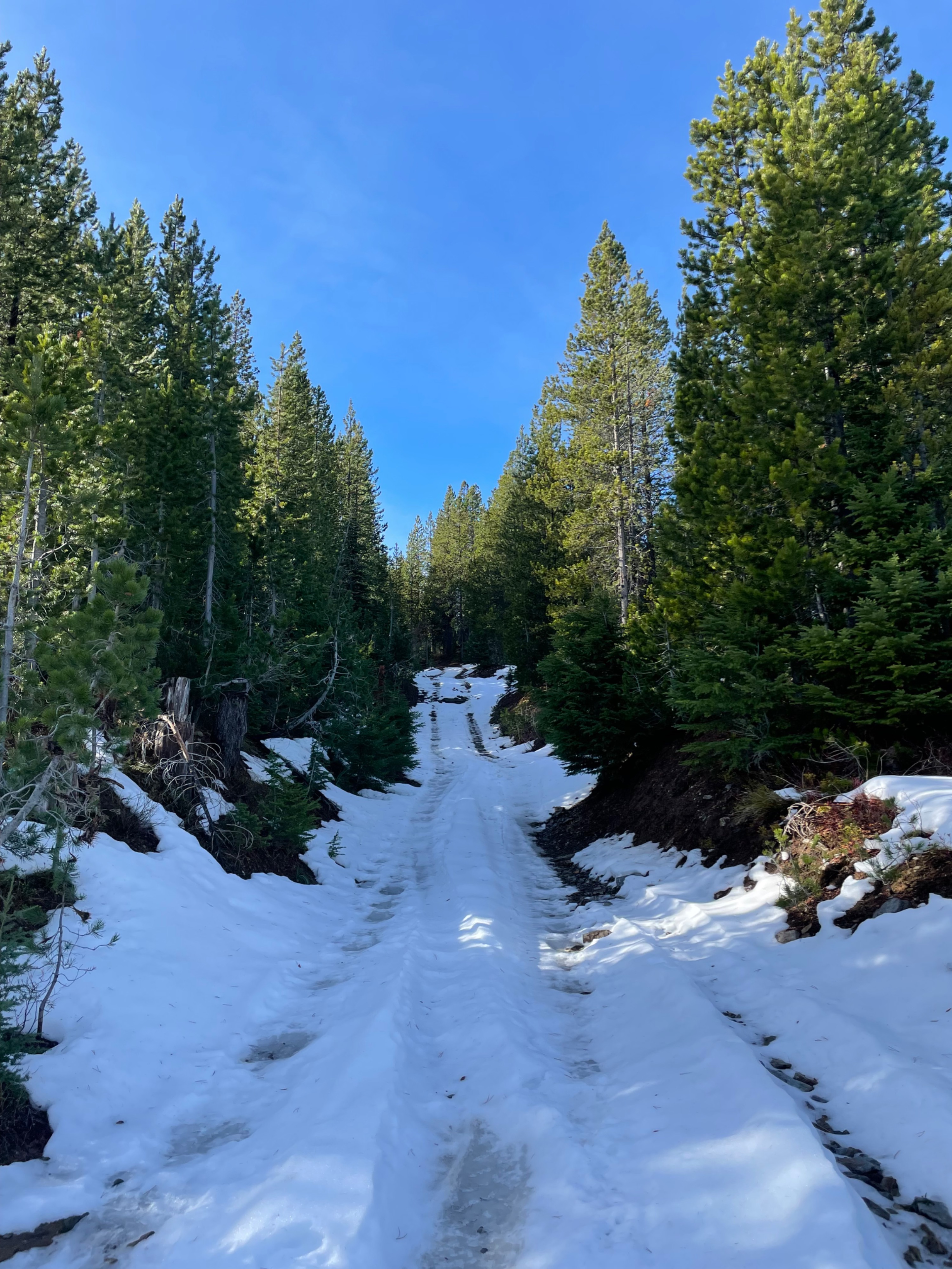
Encountered the first patchy spots of snow at 5500', with more connected pieces of snow at 6000'. At 6300' there was enough continuous snow to confidently transition to skis and tour along the ridgeline.
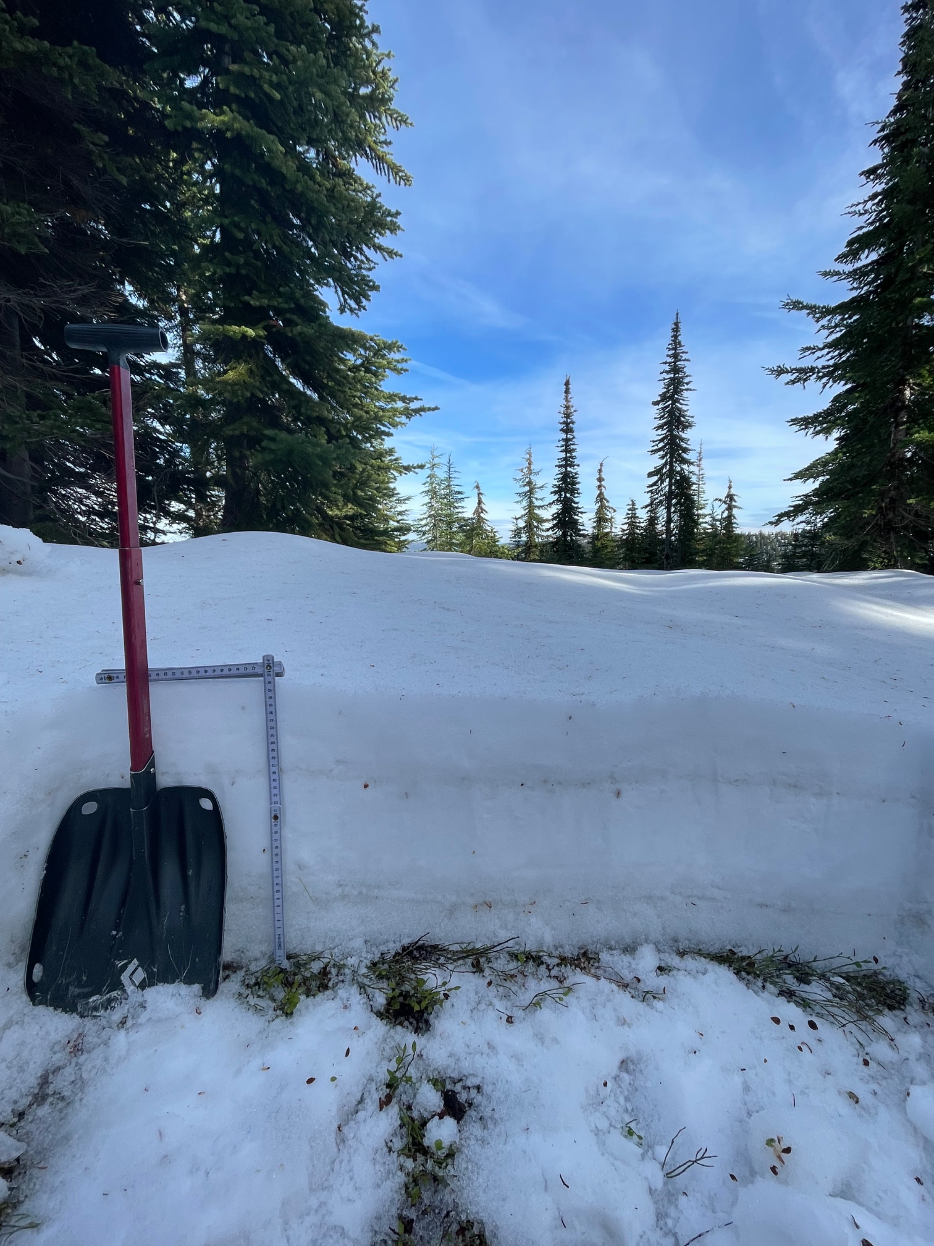
The snow depth on a shaded ridgeline facing west at 6400' was approx. 1.25ft (38cm). Only very sheltered and previously wind drifted pieces of terrain had snow depths that are closer to 2ft.
The current snowpack structure is a mix of melt forms and rounds that are moist all the way down. By the end of the day, a bit of a refrozen surface crust was developing at upper elevations in the shade.
Avalanche
Several very small wet loose avalanches in steep and rocky terrain that likely failed during the last rain event. These small slides ran at ground, and highlight how avalanches can occur in low coverage locations with just enough snow to recreate on.