

Quick report
- Cracking
- isolated
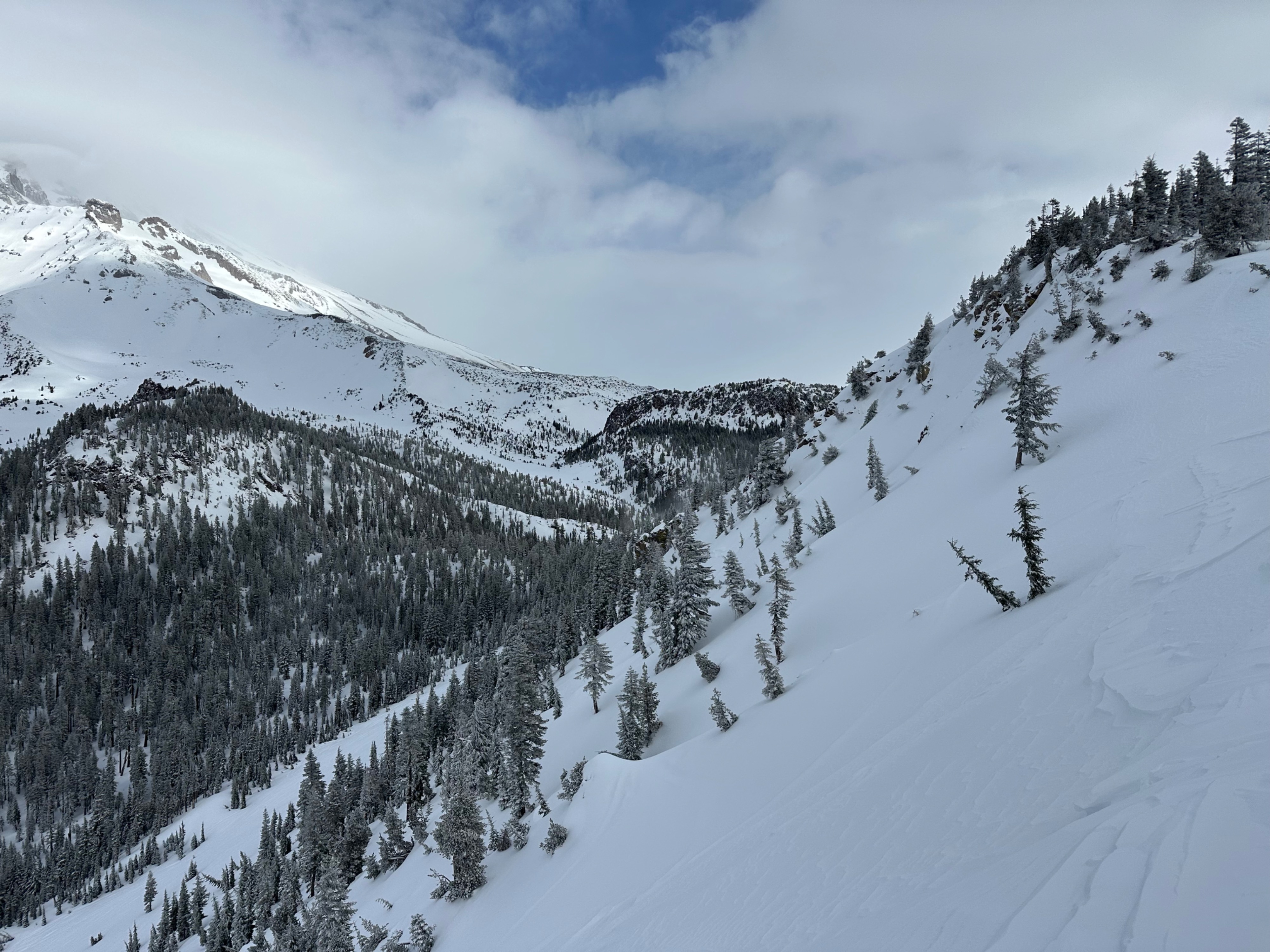
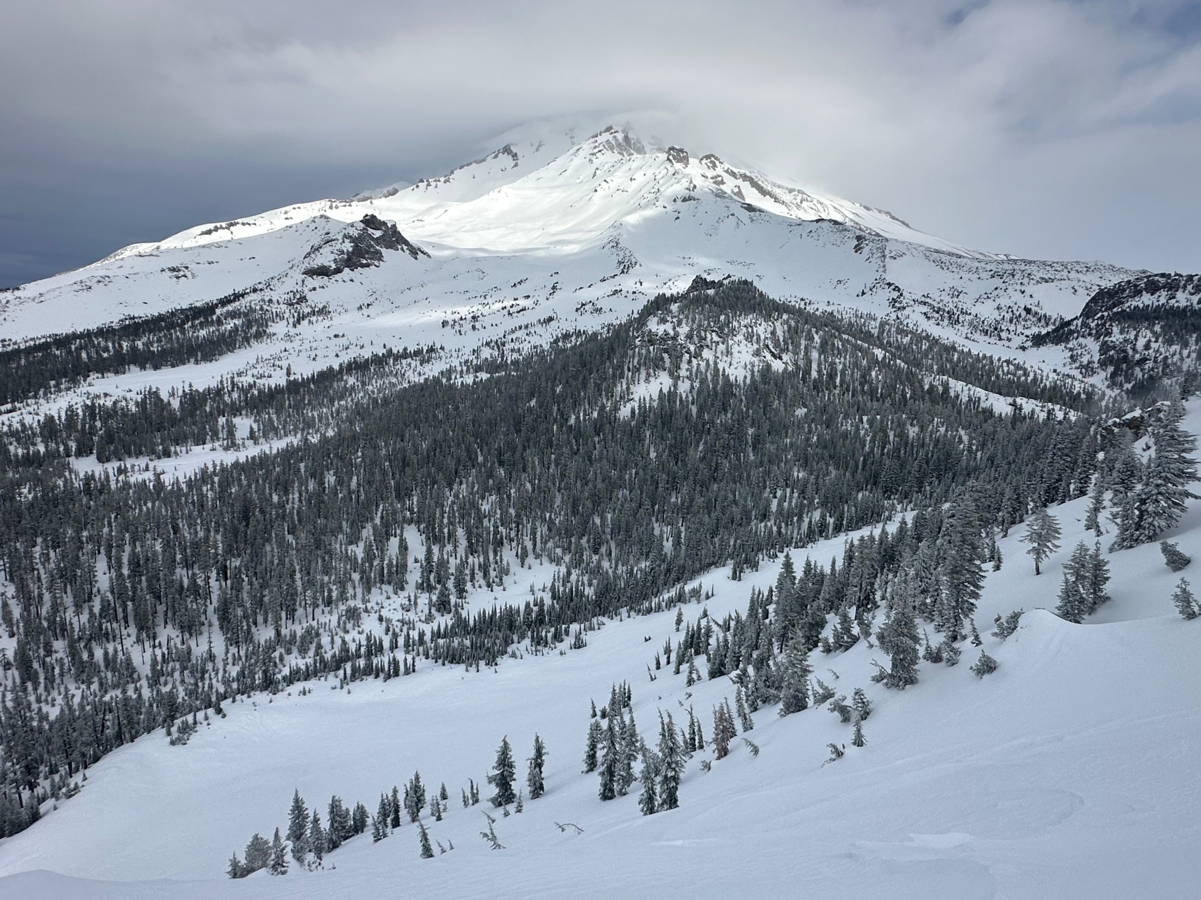
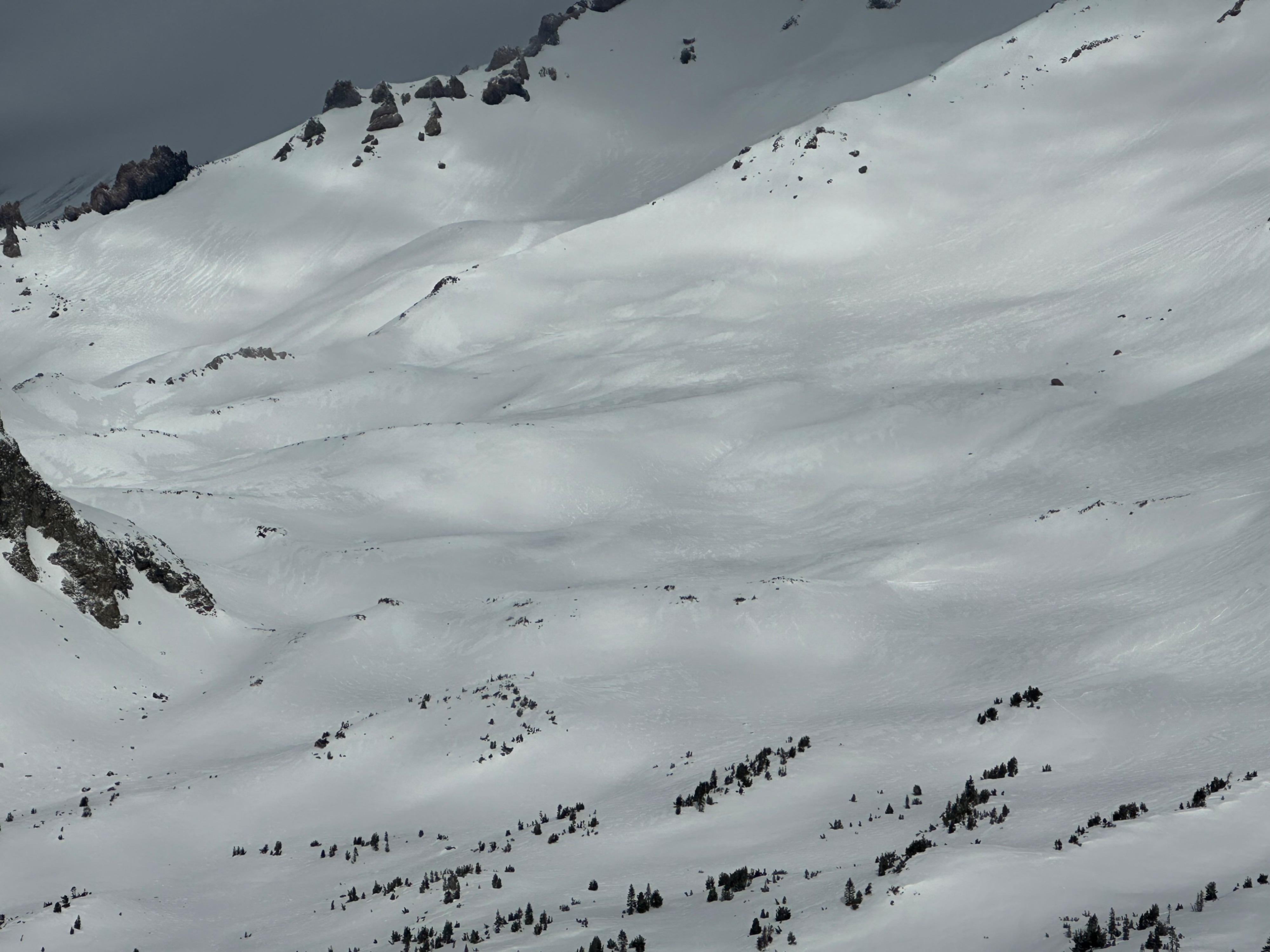
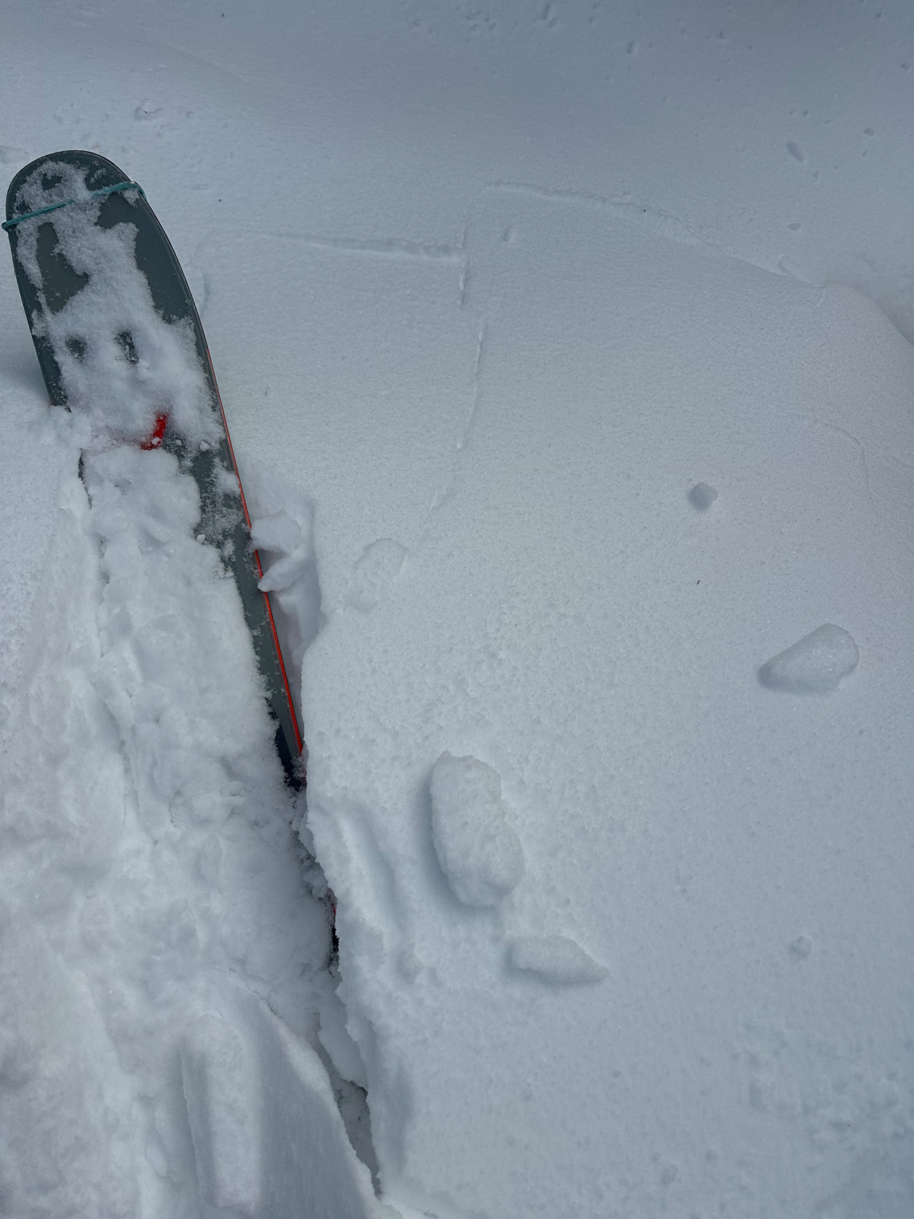
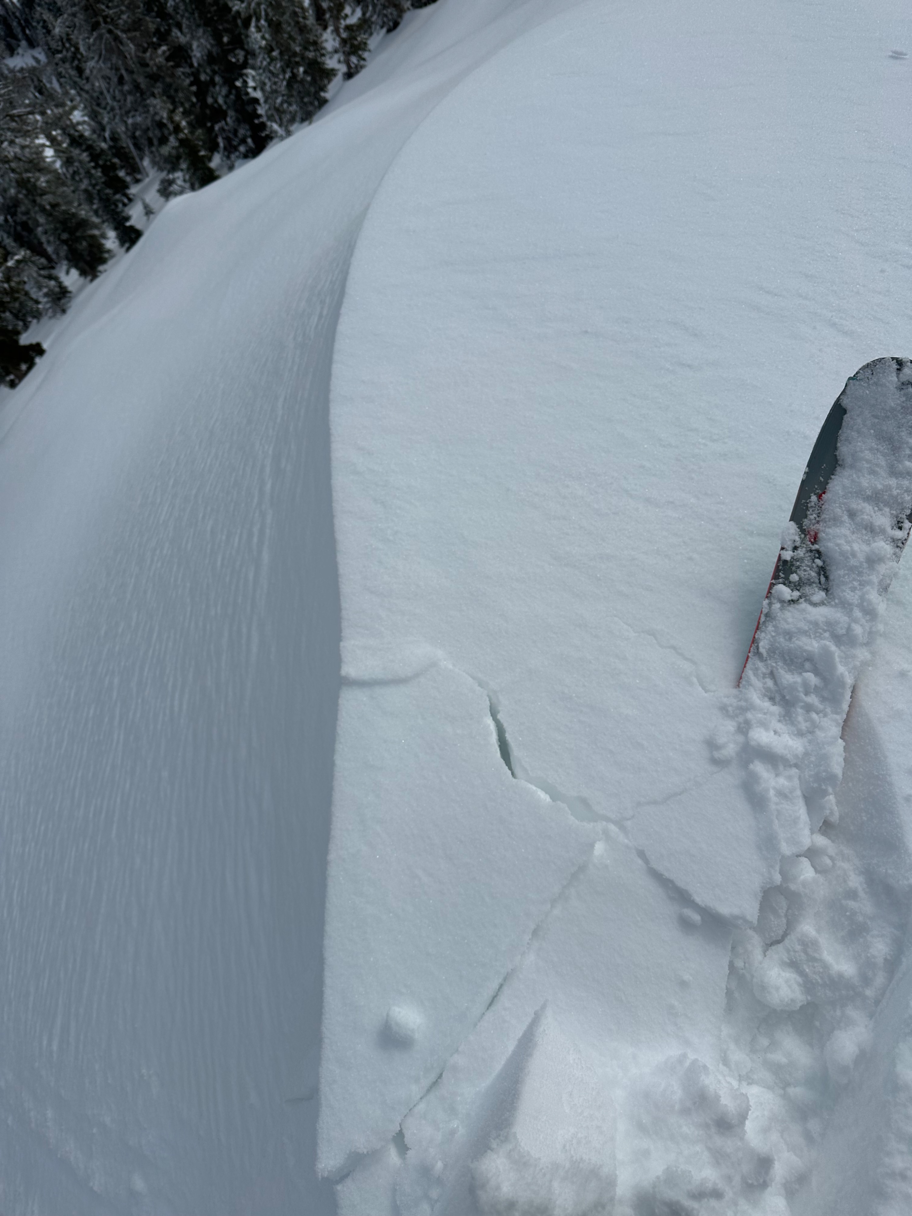
Recent storm totals are between 2 and 4 inches on Gray Butte - hardly enough to form a slab. Despite plenty of old, weak snow and fragile crusts underneath the new snow, signs of instability were limited to minor cracking on isolated, wind-drifted features.
Minor cracking in wind-drifted areasWeather
- Air Temp
- 27
- Cloud Cover
- broken
- Wind Loading
- previous
- Recent Snowfall
- 10
- Snow Avail For Transport
- small smounts
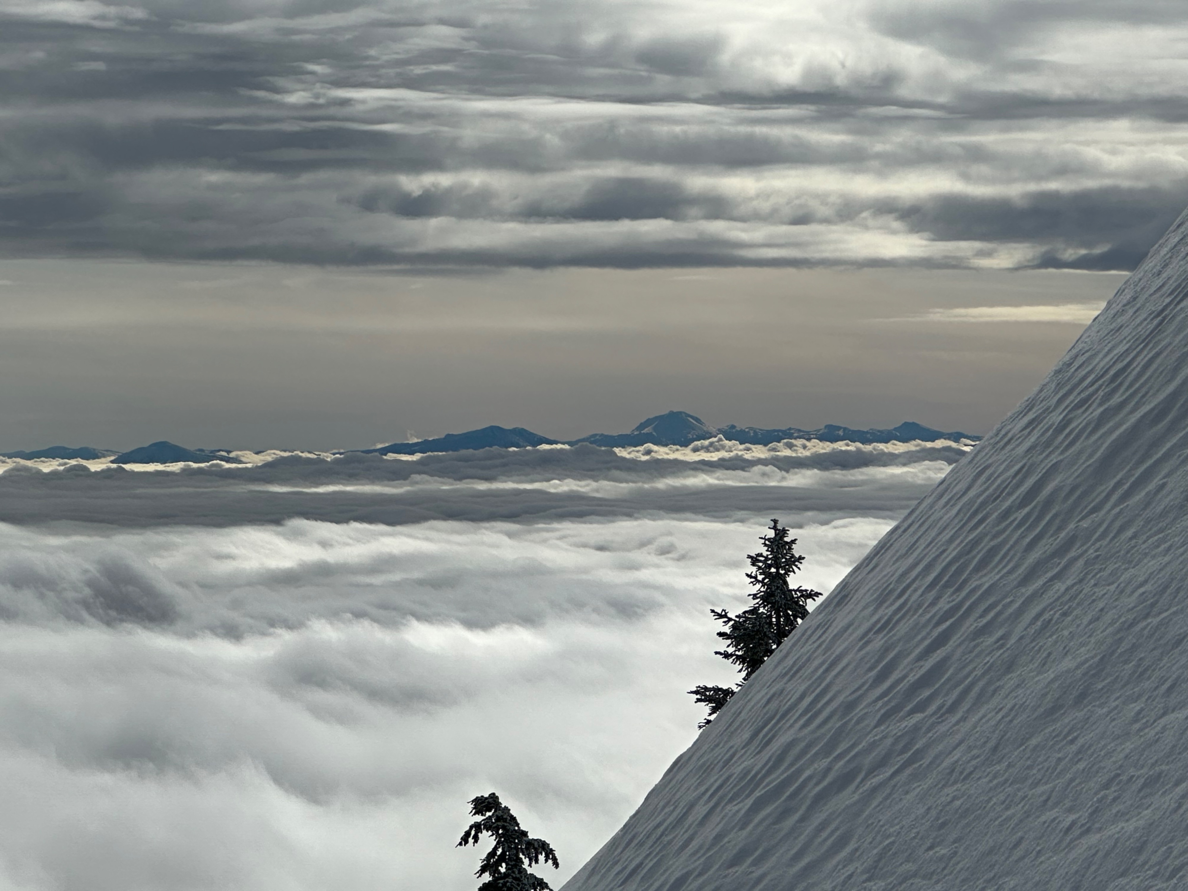
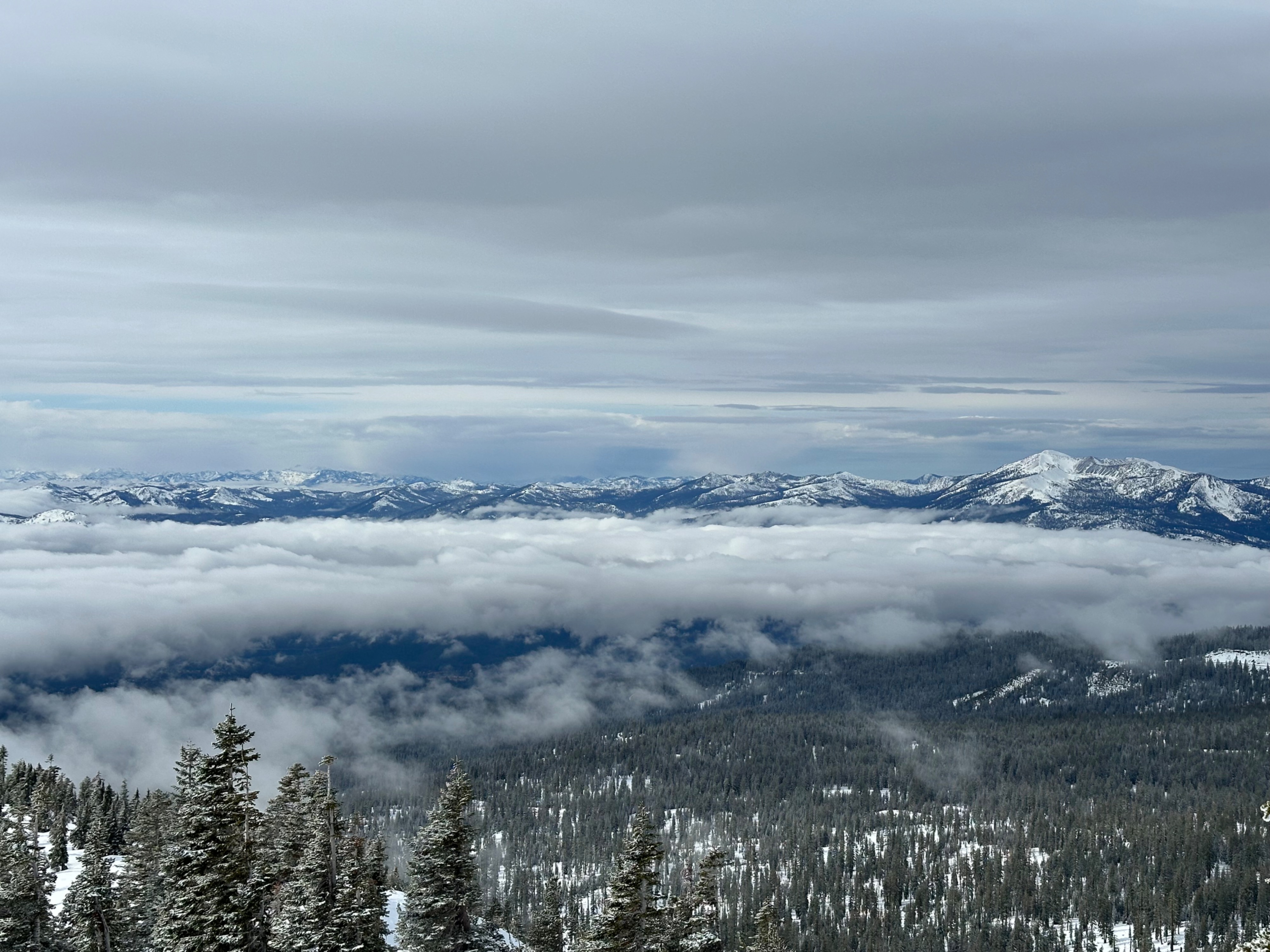
A foggy morning with obscured visibility below treeline yielded to overcast skies with light westerly winds above 7,900 feet.
Snowpack
Northeast aspects appeared to have received the most wind-drifted snow from last night's storm.
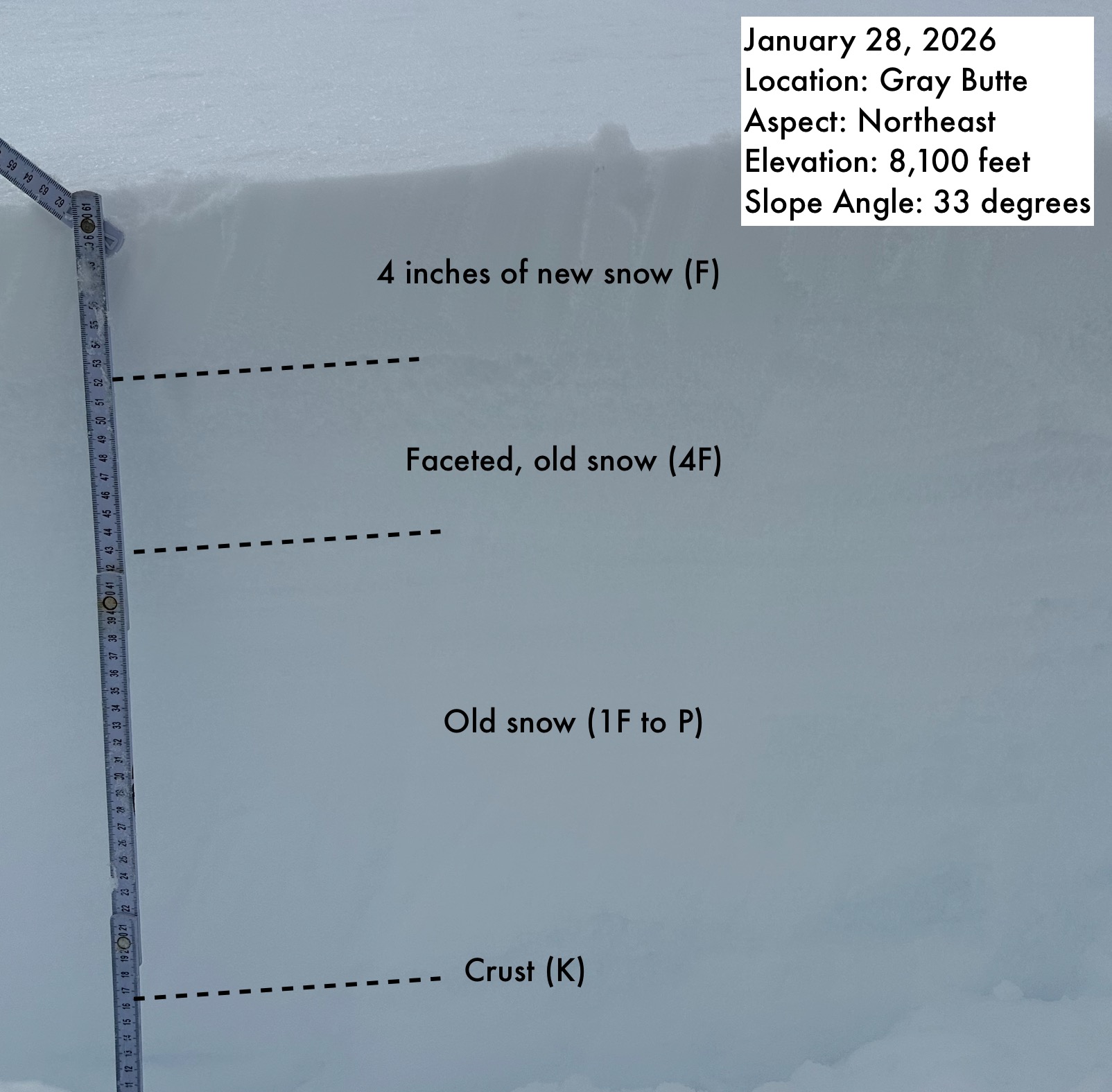
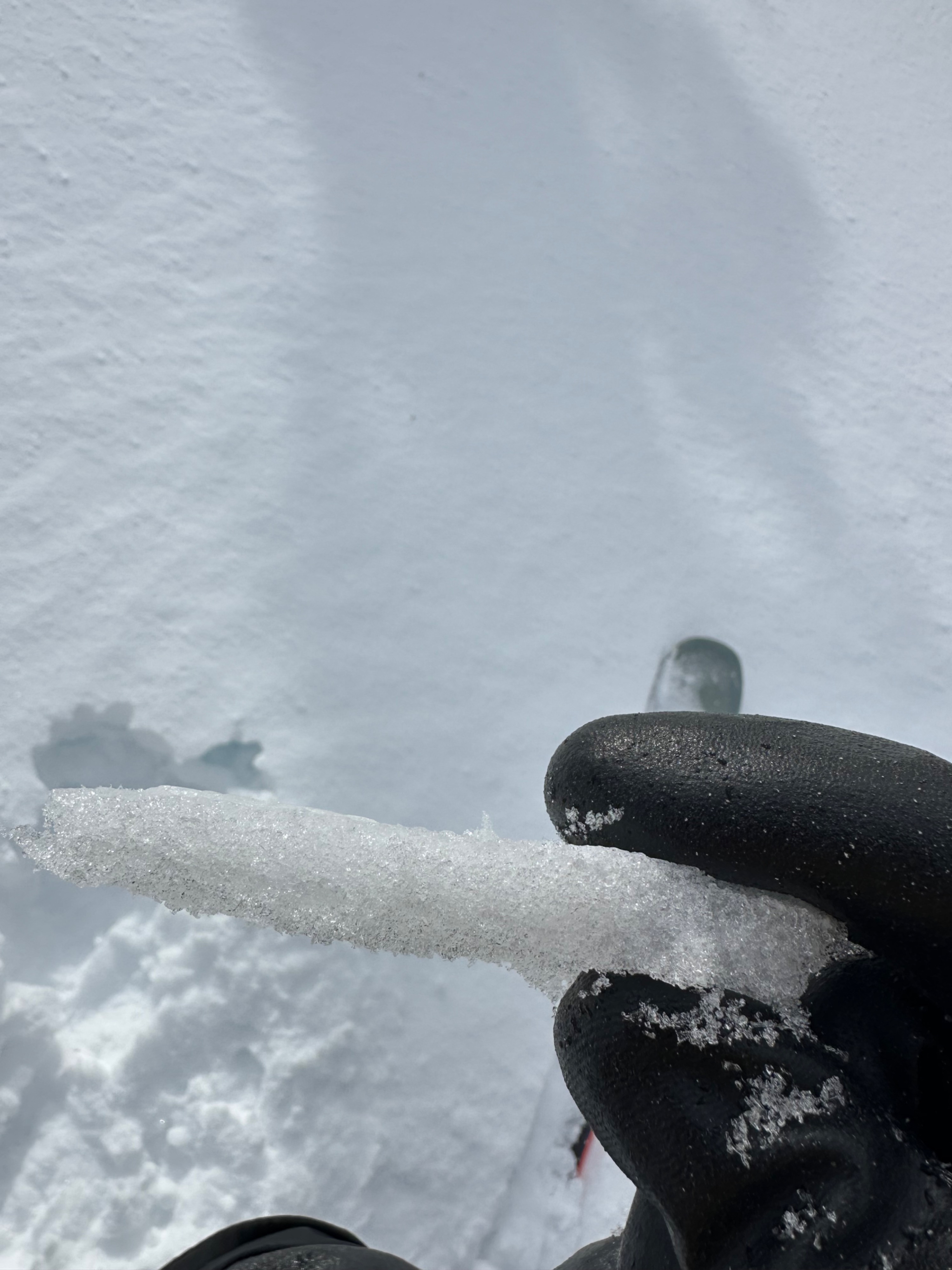
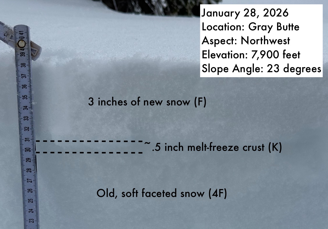
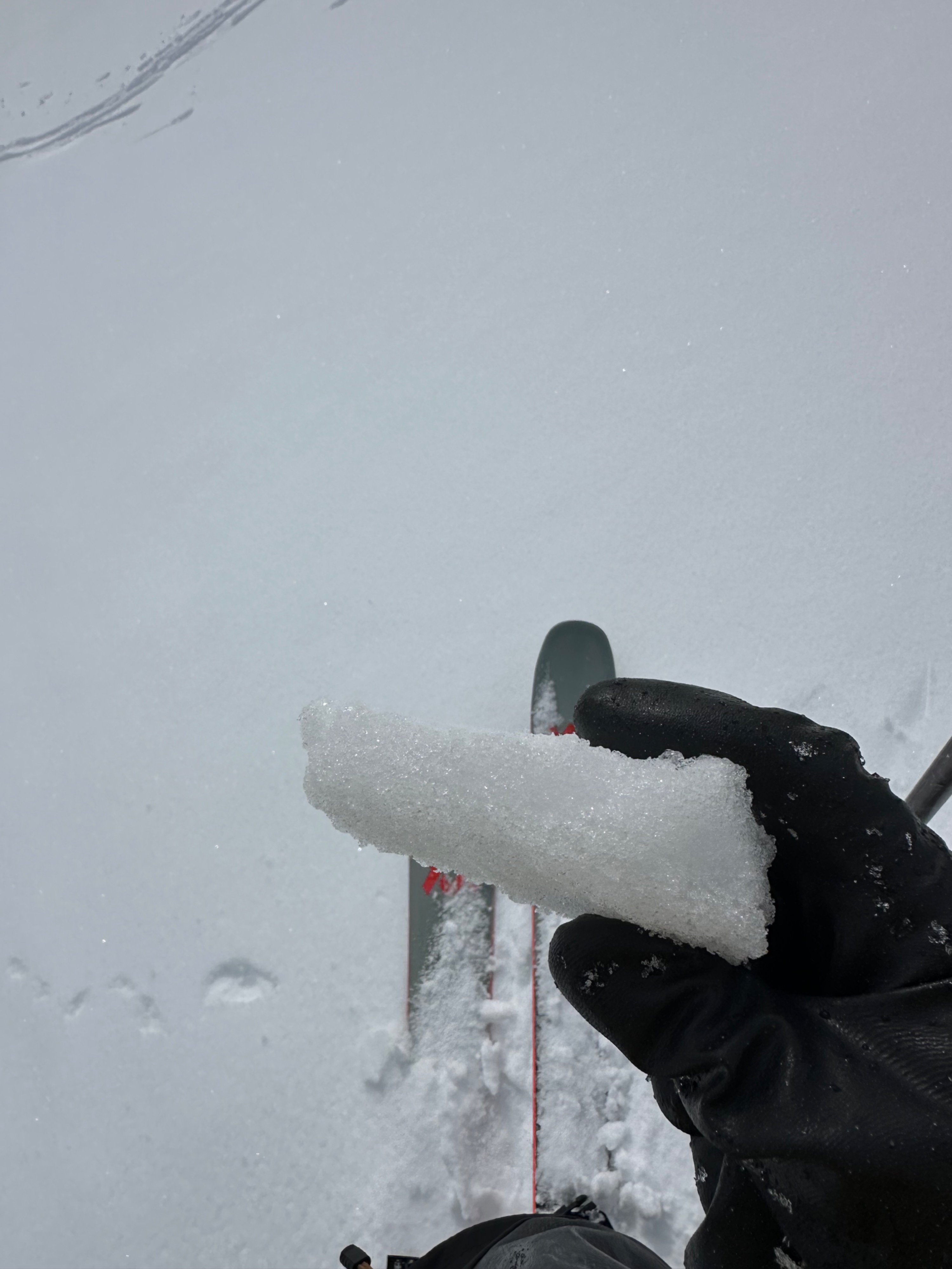
The few inches of recent snow rests primarily above crusts of varying thicknesses. The crusts are strongest and most supportable on solar aspects (about 1.5 inches) and weaker and less supportable on shadier aspects (about .5 inch). At one snowpit location on a northeast aspect at 8,100 feet, there was no crust beneath the new snow. The older snow beneath the crusts (or directly under the new snow on the northeast aspect) is generally faceted towards the top of the snowpack and right-side-up, with softer snow above harder snow. A snowpit on a northwest aspect at 7,900 feet showed small (.25mm to 1mm), soft (4F) facets underneath a .5 inch melt-freeze crust.
Extended column tests did not produce any propagating results in the upper snowpack on either a northeast aspect at 8,100 feet or a northwest aspect at 7,900 feet. The faceted grains and thin crusts are worth tracking with future loading events.