
Quick report
- Cracking
- isolated
Forecasted warm temperatures will continue to change the snowpack even during the next few days without precipitation. Weak snow grains are buried 2 to 3 feet deep in the snowpack and the possibility remains of triggering a large avalanche with high consequences in specific areas. During periods of complex snowpack problems, discussing and planning travel routes with margins for error can help reduce risks.
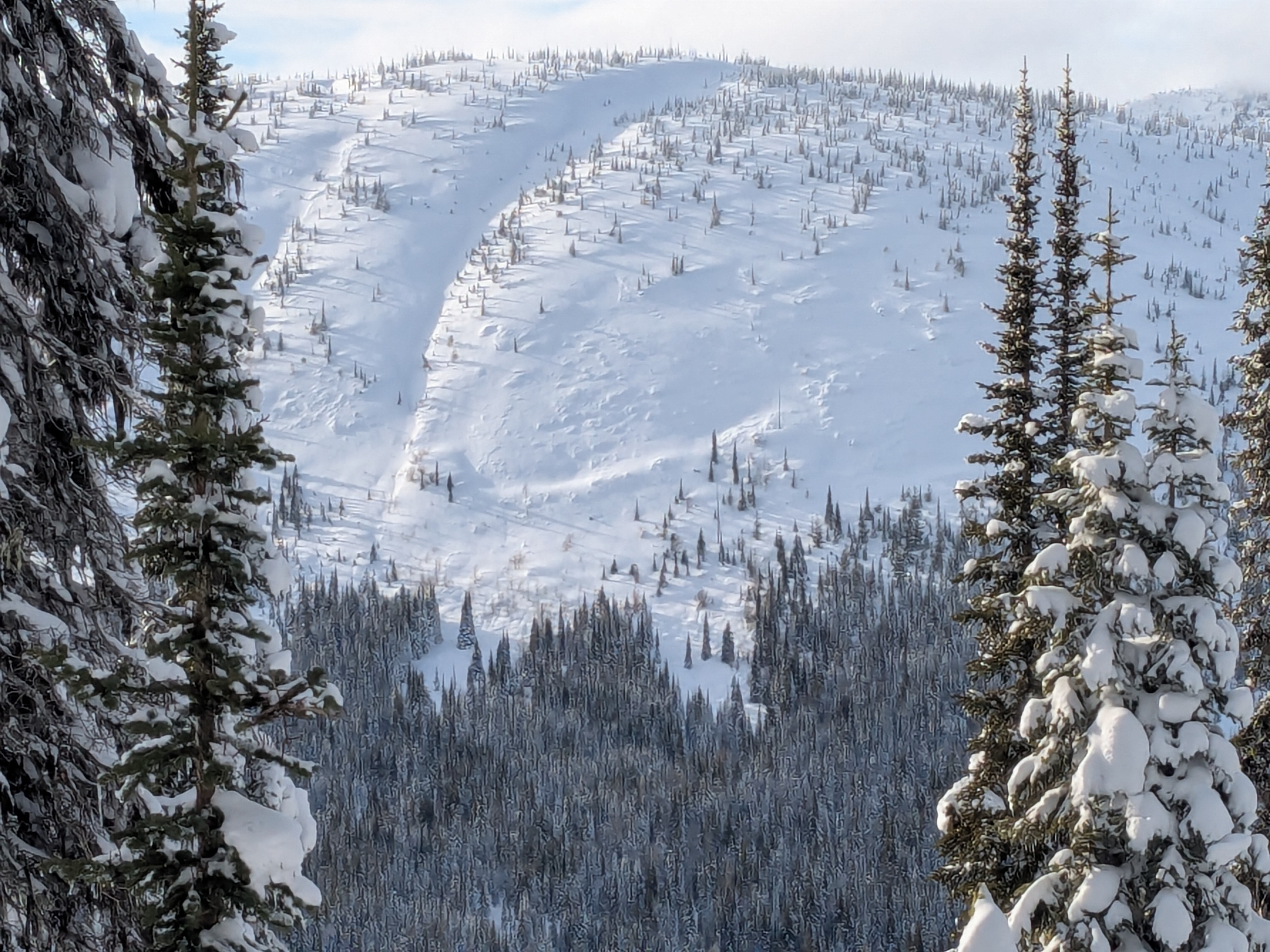
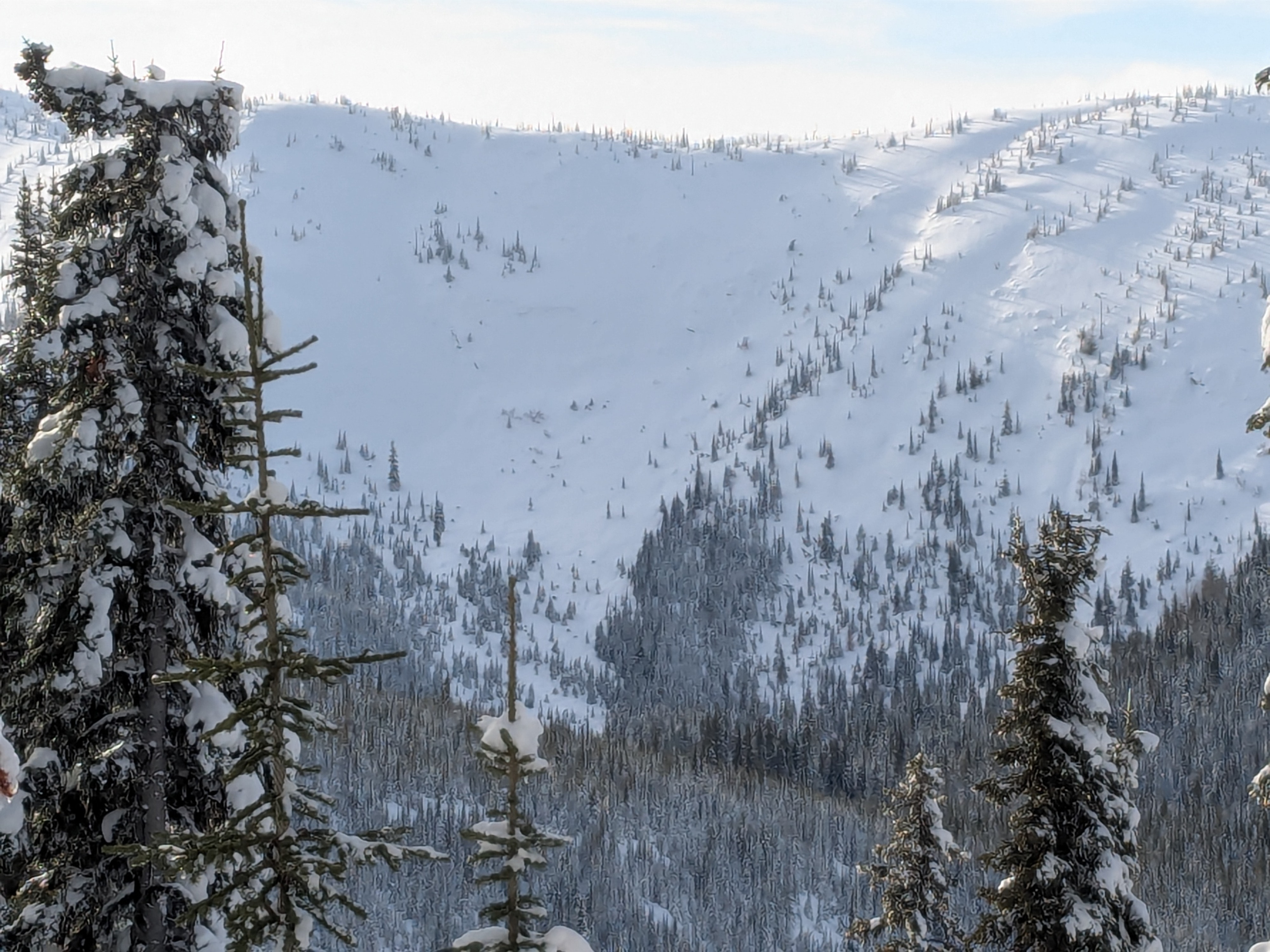
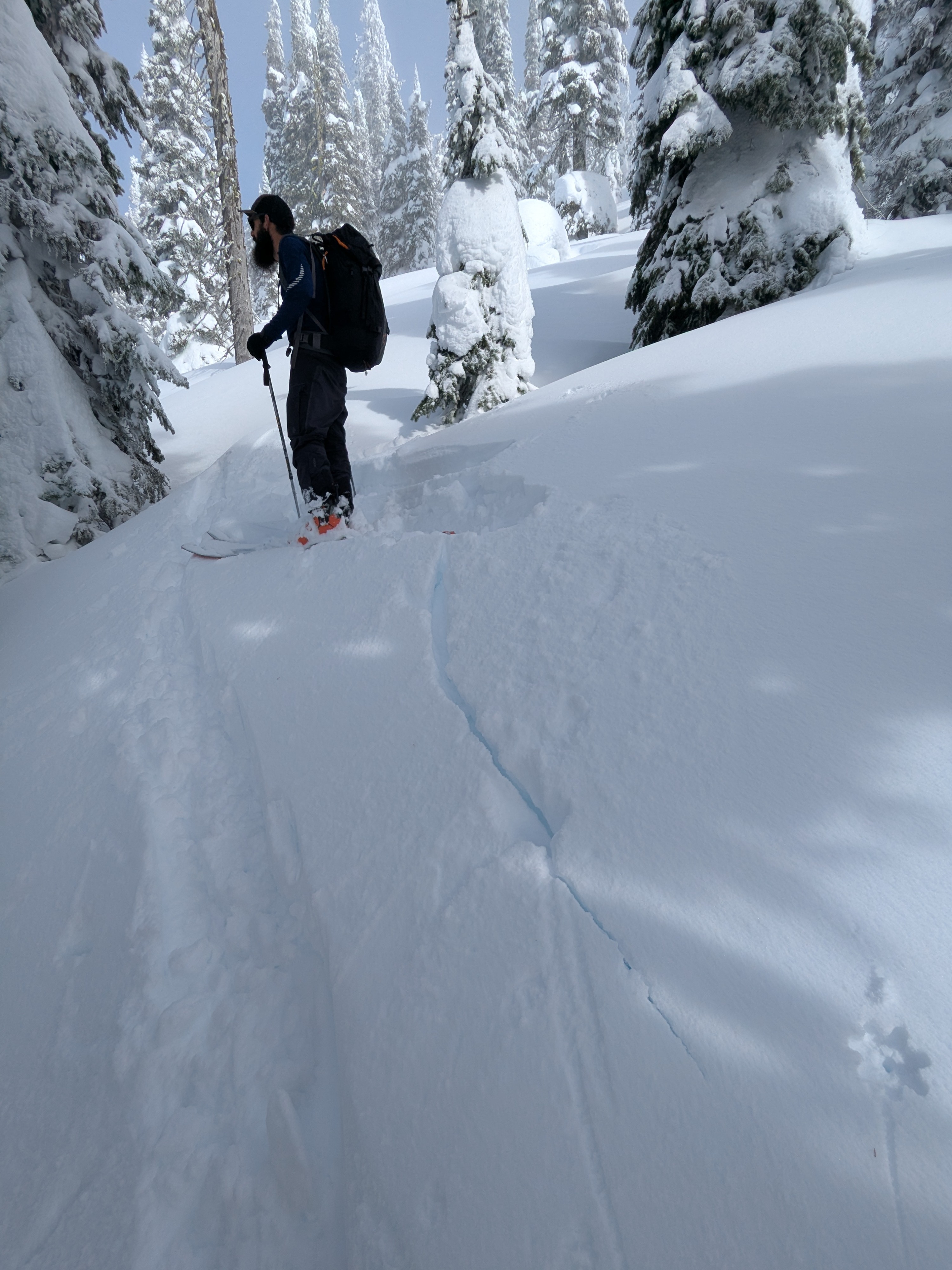
We observed cracking at a recent storm density change. We also could trigger small pockets on west-facing slopes around switchbacks in the skinner.Weather
- Cloud Cover
- broken
- Wind Loading
- light
- Recent Snowfall
- ~15cm
- Snow Avail For Transport
- small smounts
Party sunny with broken skies and no wind. Intermittent visibility at higher elevations with shifting fog. Temperature were near freezing.
Snowpack
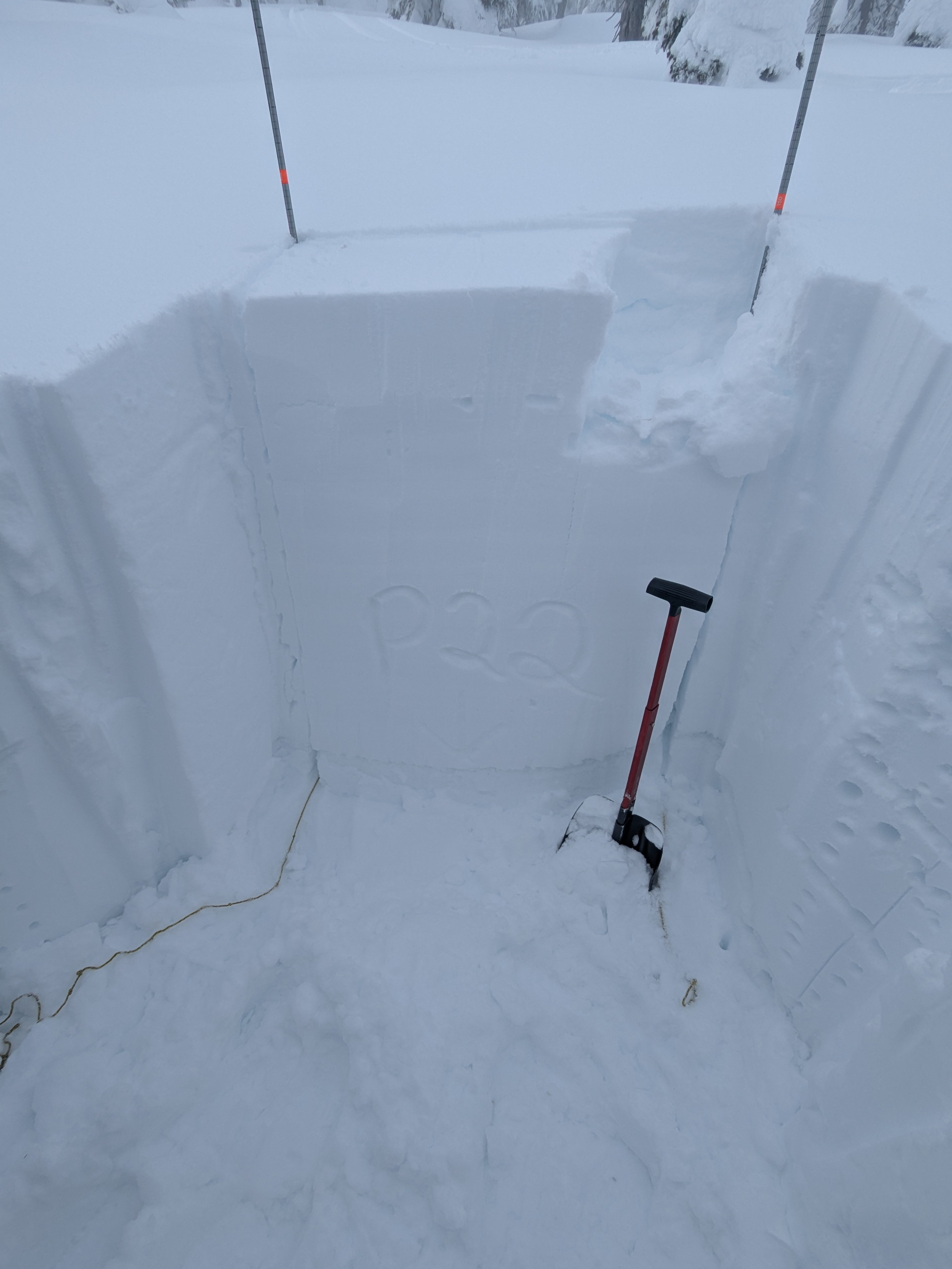
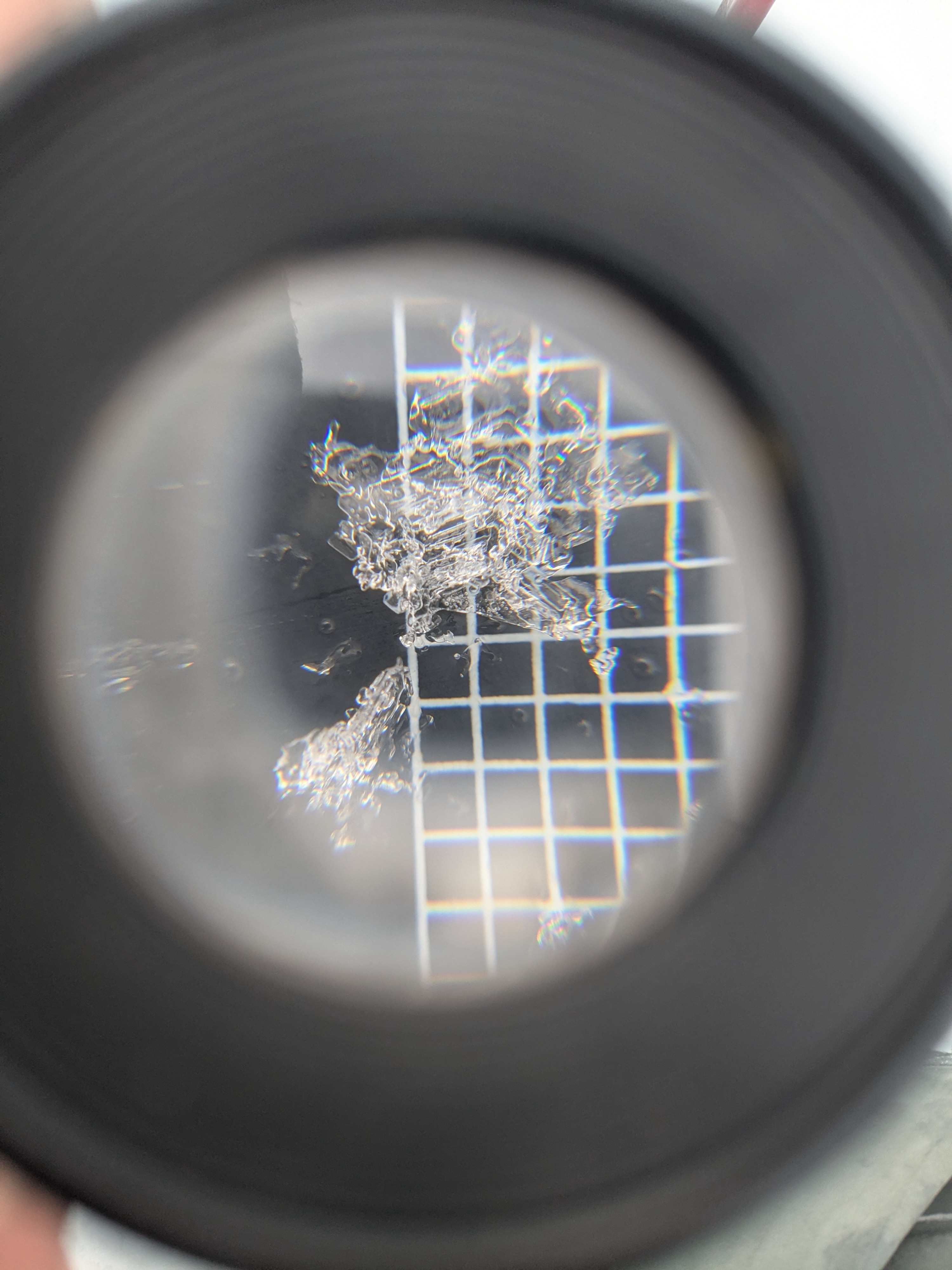
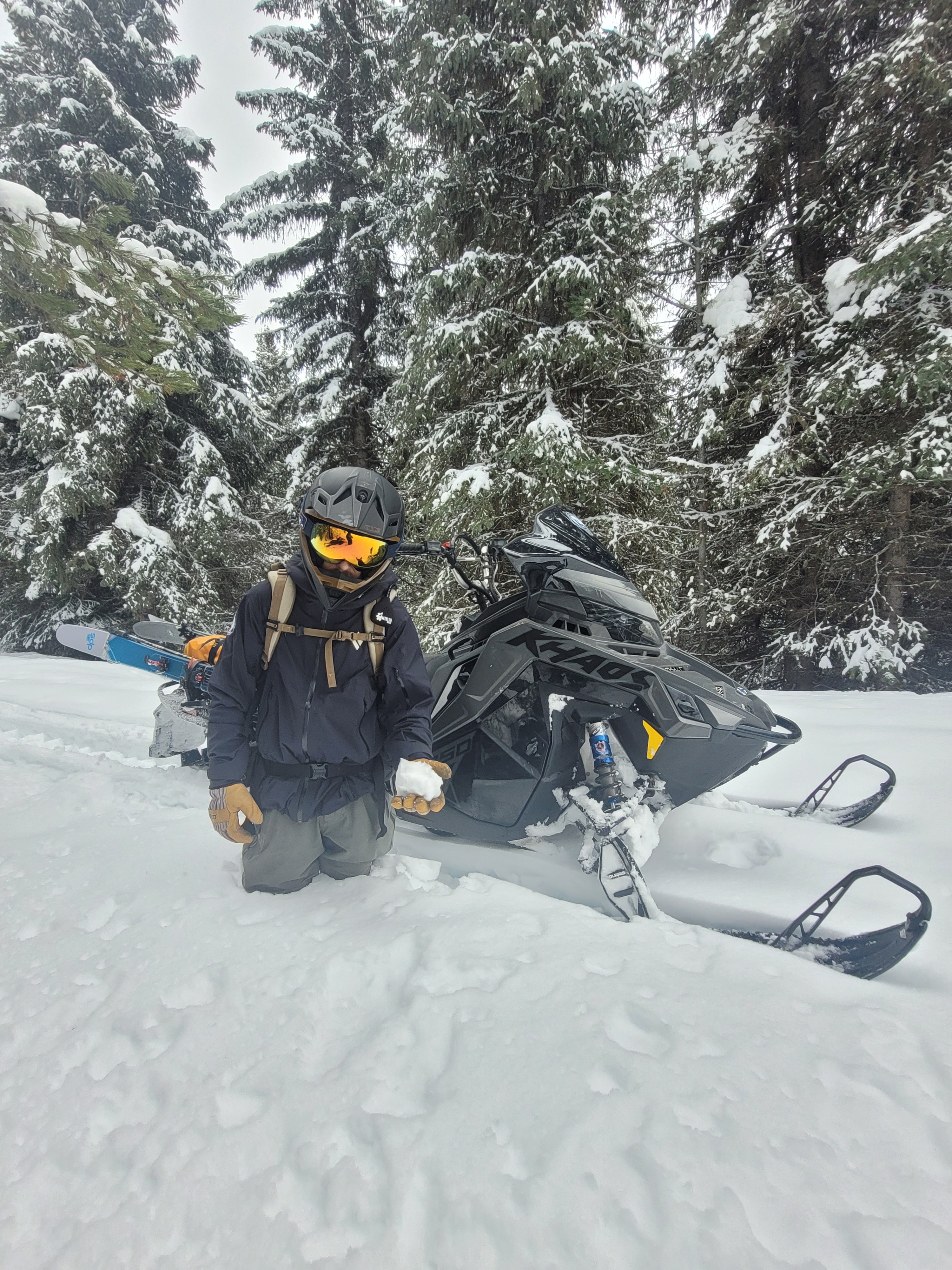
Traveling up Cow creek road, new snow over wet snow made for a punchy bottomless snowpack. Near 5000’ we observed about 15cm (~6in) of new recent snow on top of a thin crust and wet snow grains’. Near this 5000’ elevation a notable transition occurred from wet snow to dry snow down 15cm from the surface. While traveling, varied surface hardness changes and isolated cracking was occurring in the top 10cm of recent storm snow. At 6000’ SE aspect we observed easy/moderate resistant planar column tests in the storm snow (CT11 RP down 20cm). Deeper in the snowpack, ~2.5ft down from surface, on the persistent weak layers of the January Drought Layer (JDL) of surface hoar (8 -15mm) and facets, we observed moderate sudden collapse column tests and propagating extended column tests (CT20 SC and ECTP22 down 80cm on JDL SH). Through our upper ridgeline travel today we noted a lack of obvious recent wind effect from yesterday's, Tuesday 2/25, high winds causing known extensive drifting in other nearby mountain locations.
Avalanche
- Size
- D2
- Aspect
- SE
- Trigger
- N
- Elevation
- 5400 ft