
Quick report
Winter has returned!
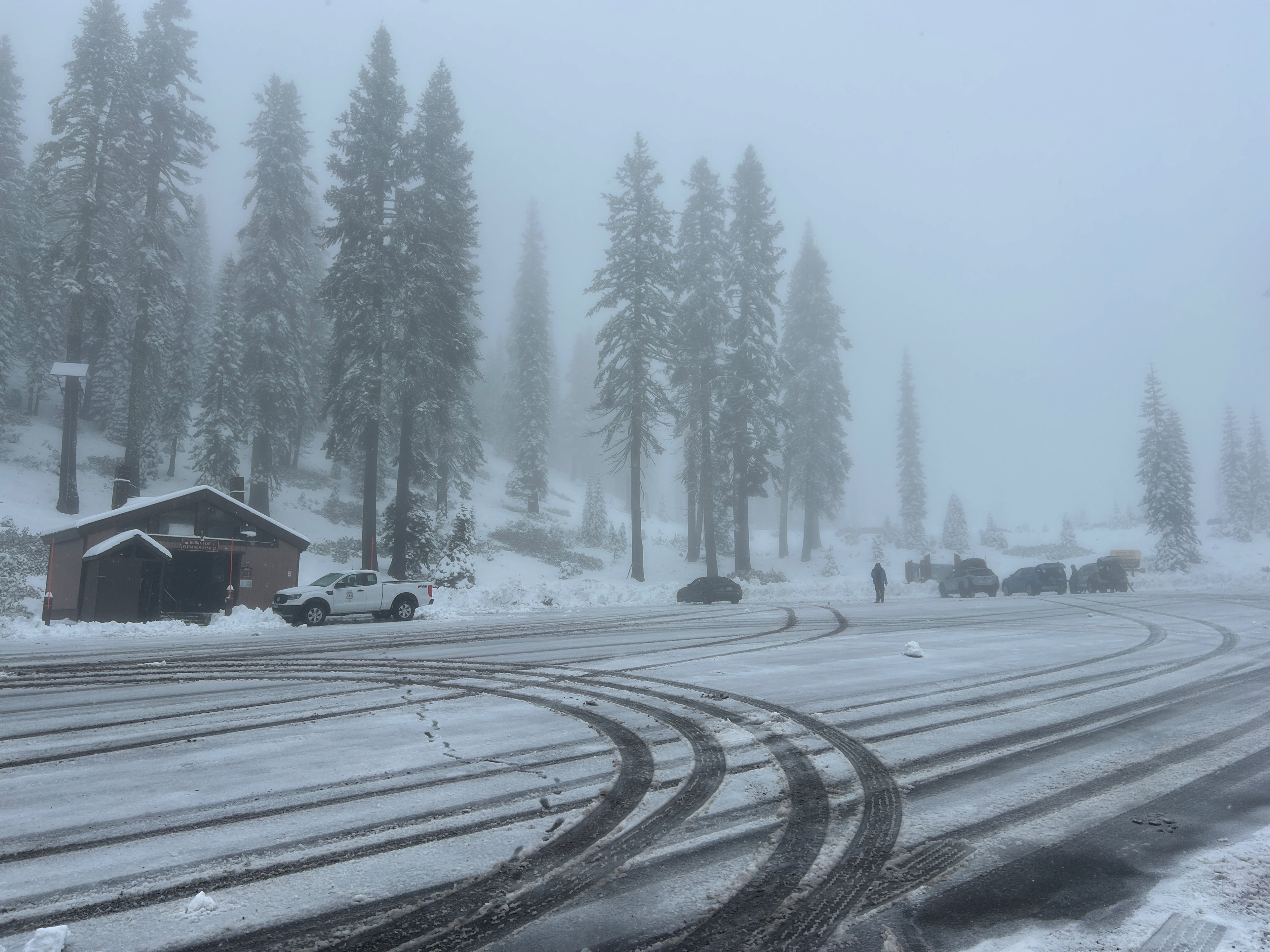
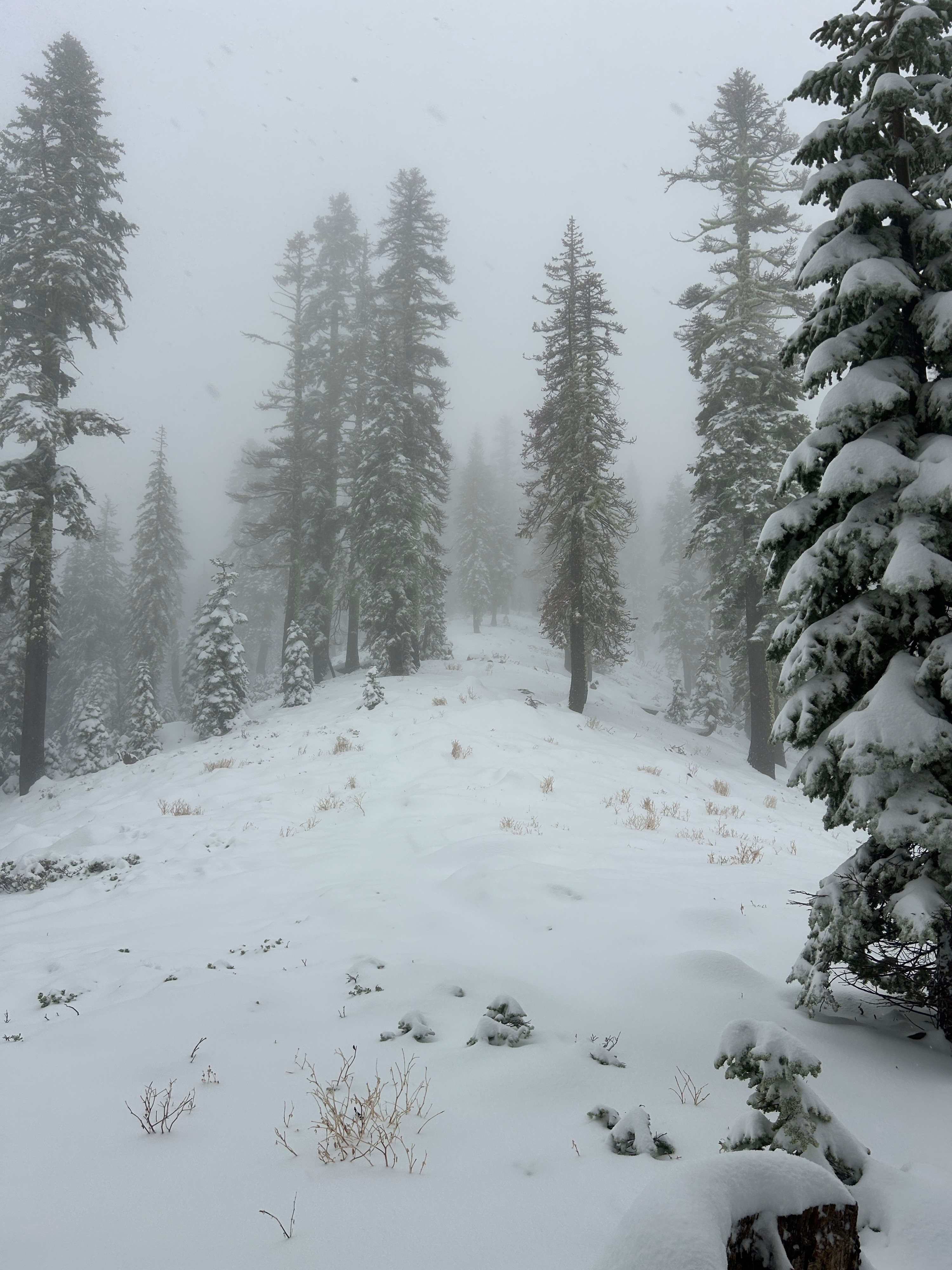
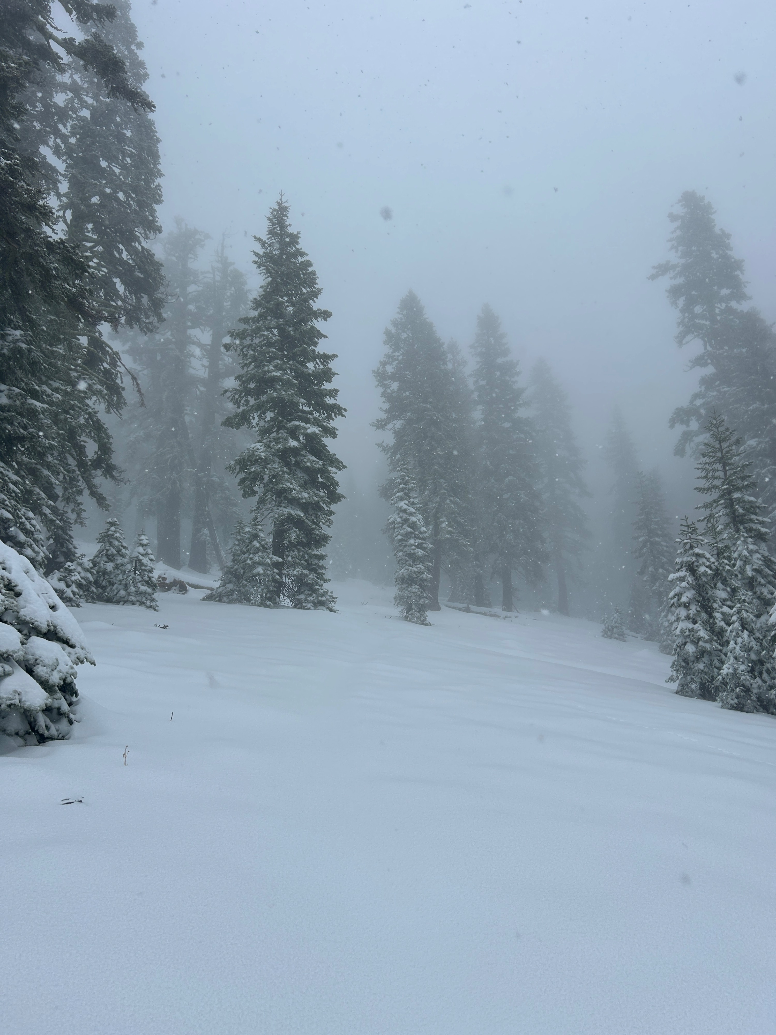
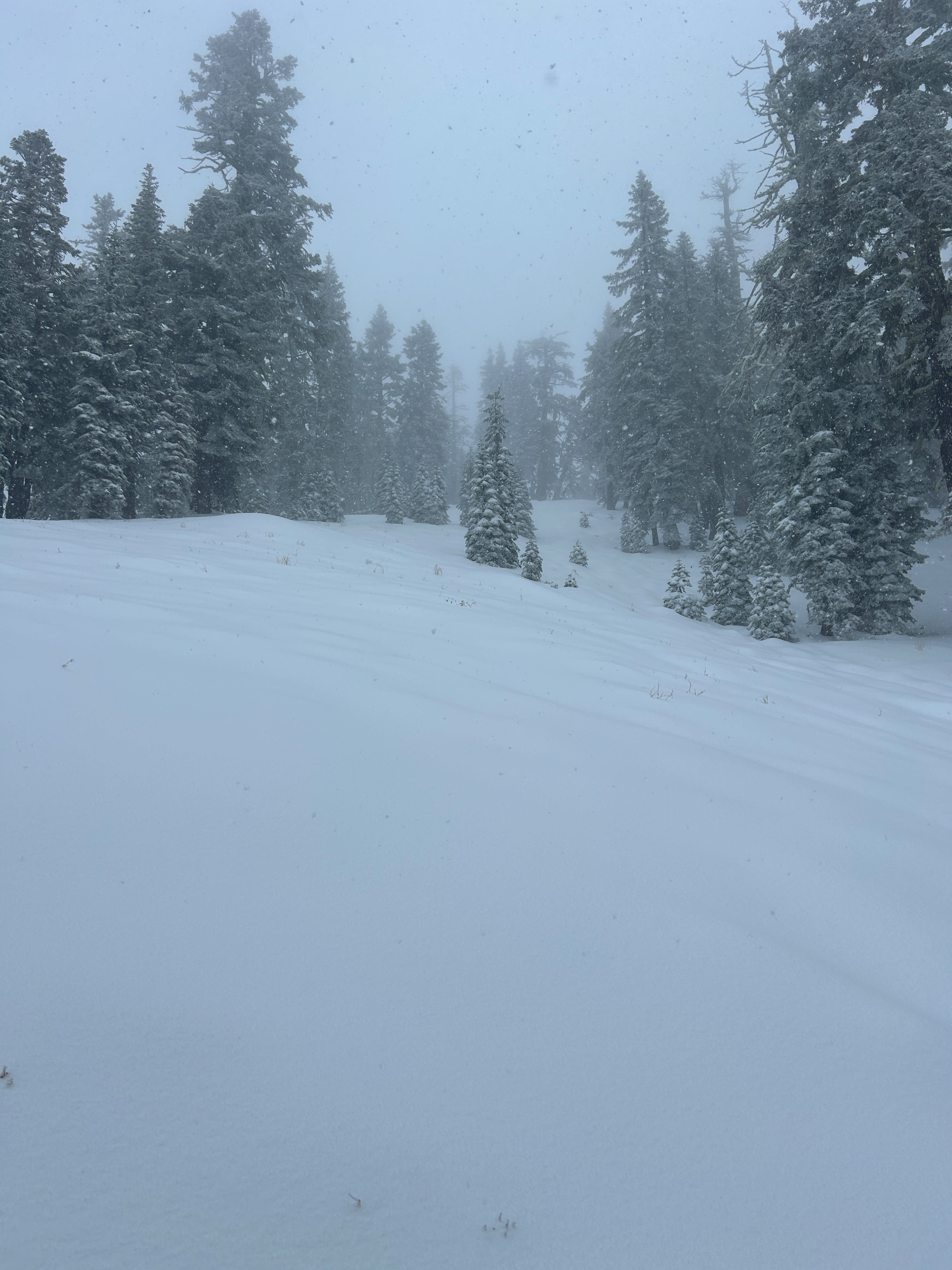
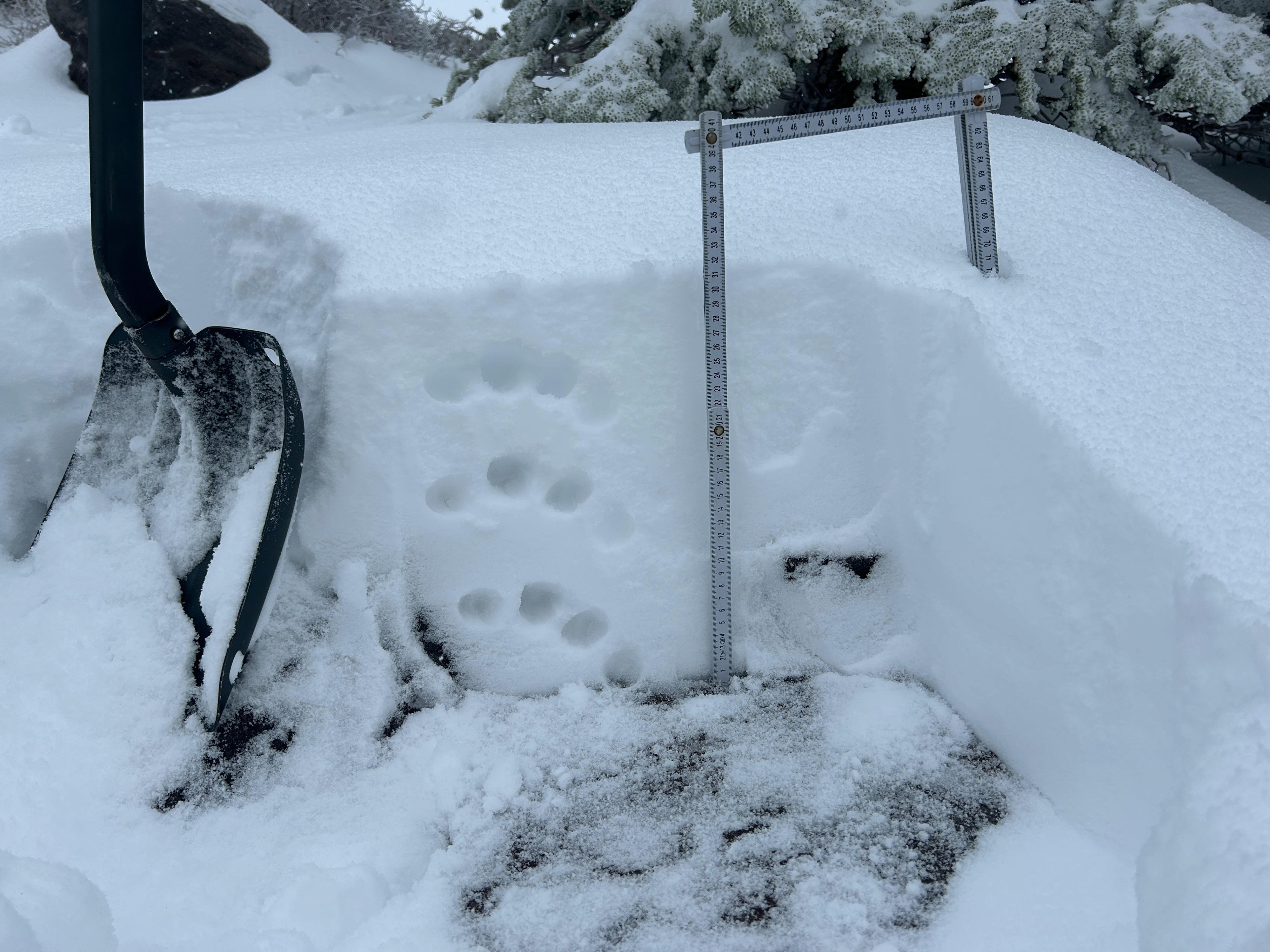
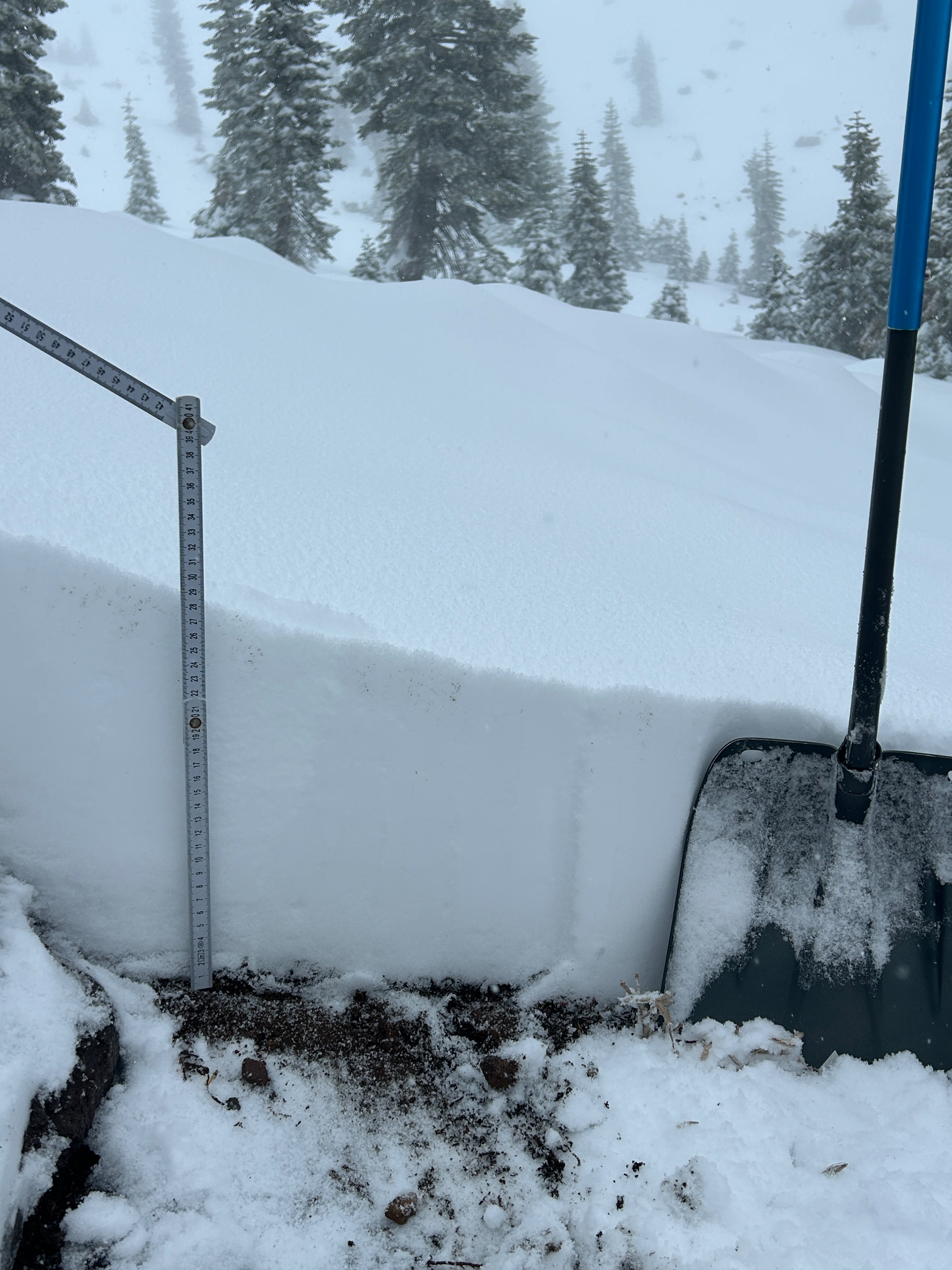
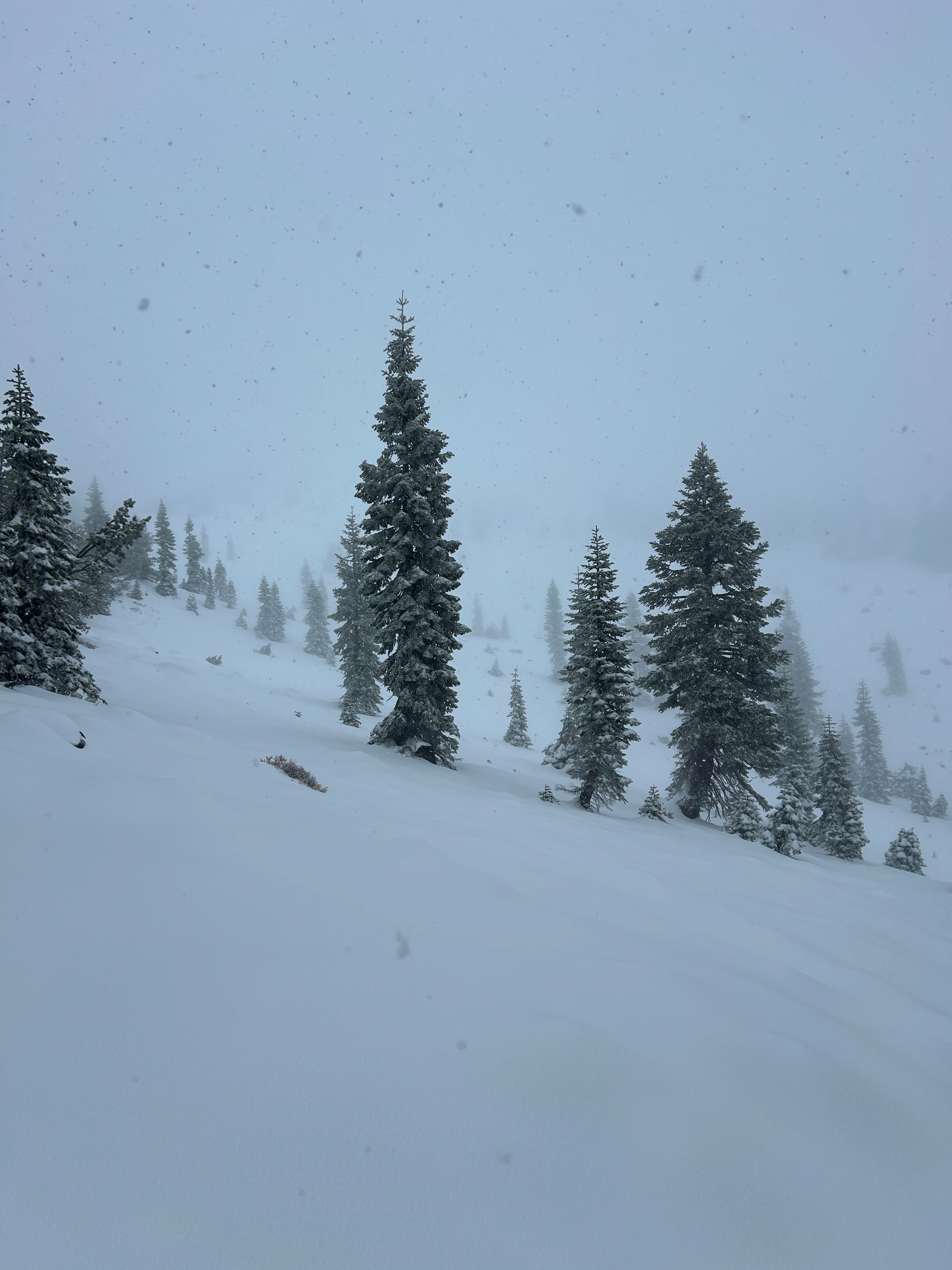
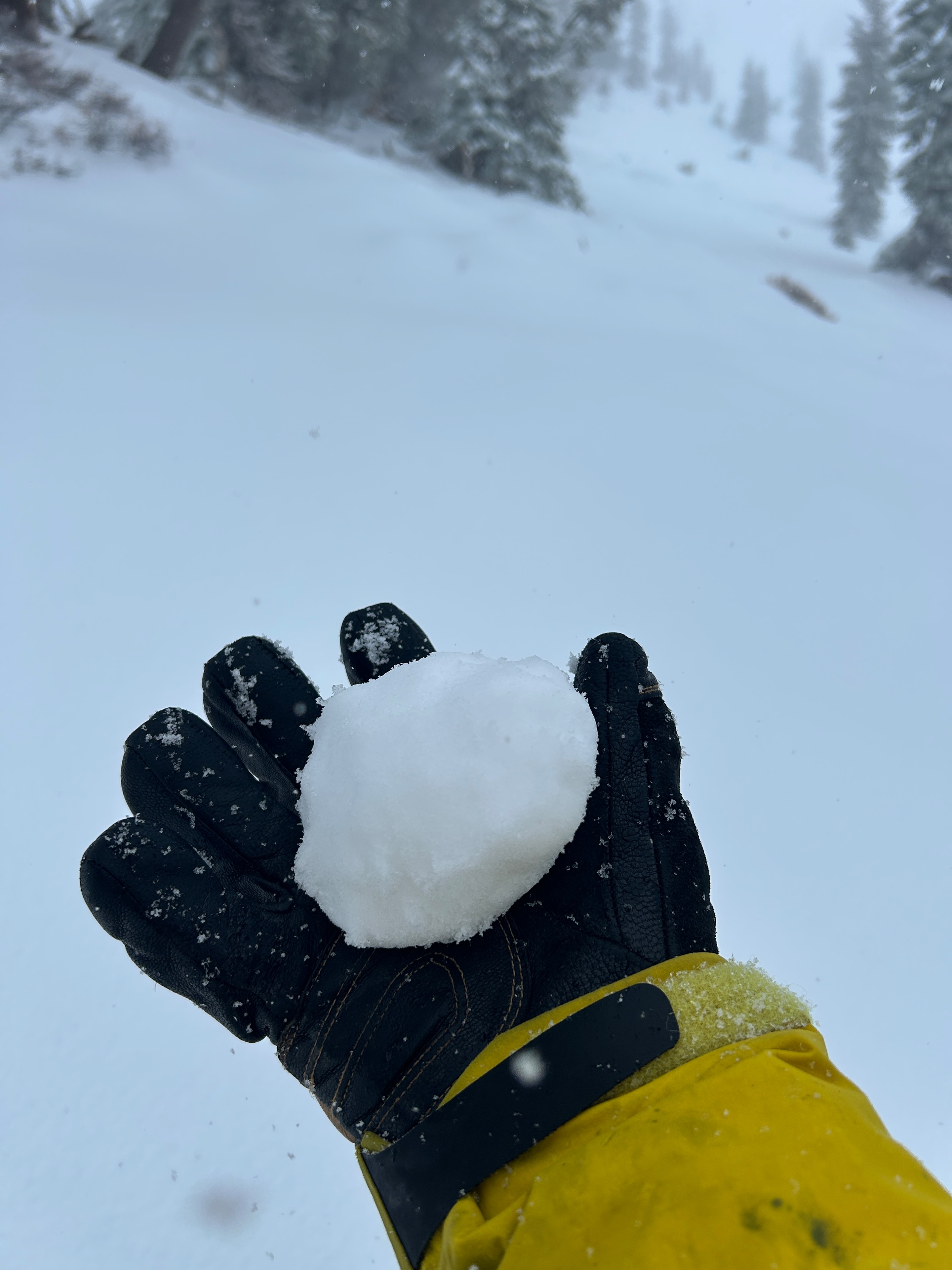
Overnight and through the early morning hours, a productive storm plastered Mt. Shasta with a fresh load of snow. On average, half a foot to a foot of new snow exists uniformly near and below treeline. Above treeline was not observed, but amounts are expected to be closer to two feet. The snow quality was heavy, wet, and sticky, the classic maritime recipe, which allows for a good bonding of bed surfaces.
No red flags of avalanche danger were observed in the new snow. Above treeline, where old snow received new snow, it’s safe to assume instabilities are more pronounced. Powerful winds could be heard at the higher elevations, but near and below the treeline, wind speeds were light to moderate with little snow texturing. Snow fell at a rate of S1 for the majority of the outing.
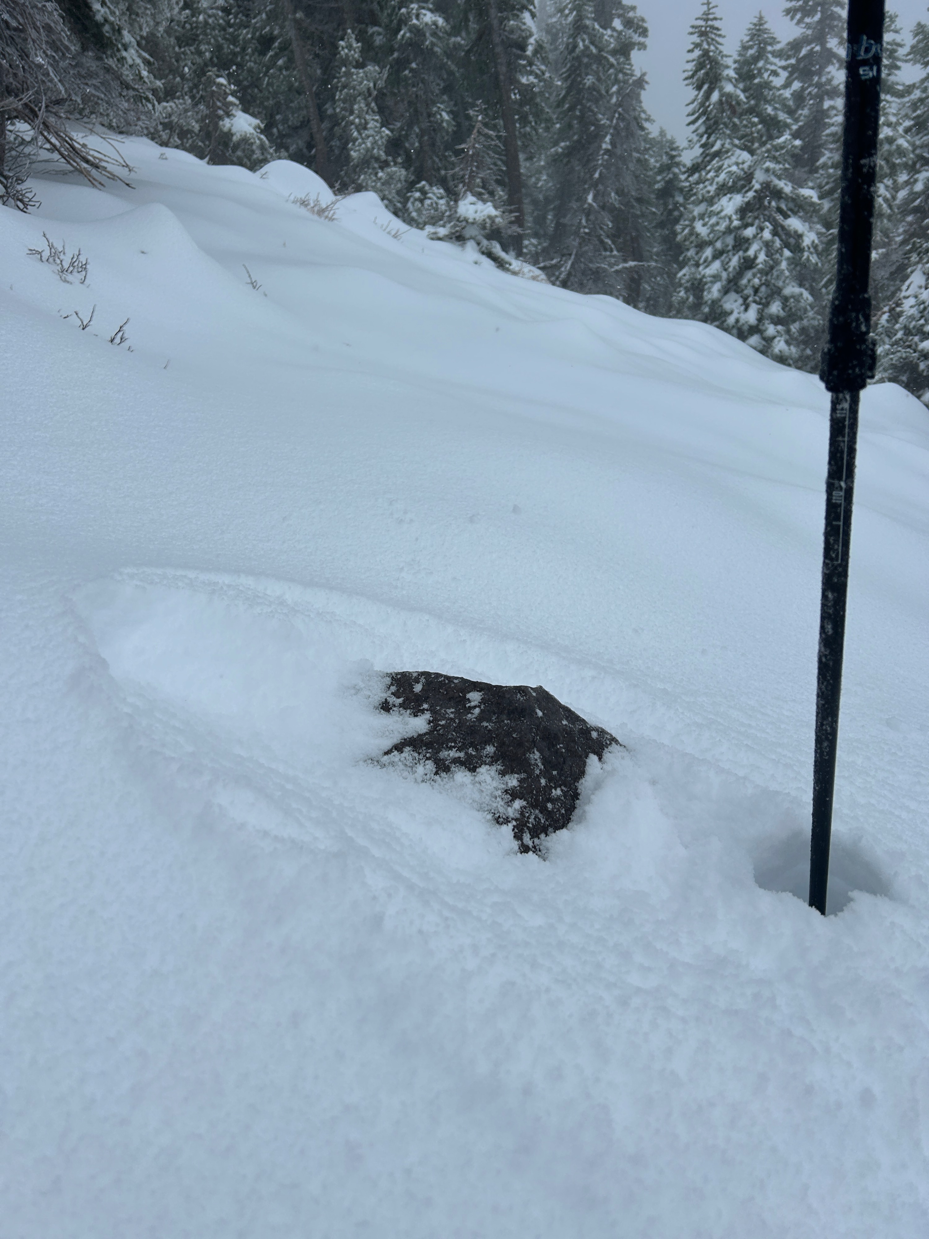
Given the dry state of conditions before the storm, we’re trending in a good direction. While this snow will set up nicely for a base, shallowly buried objects remain widespread and unfriendly. Travel with caution.
No signs of instability were observed.Weather
- Air Temp
- 30
- Cloud Cover
- obscured
- Wind Loading
- light
- Rain Elevation
- 6,200 feet
- Recent Snowfall
- 33
- Snow Avail For Transport
- moderate amounts
-Active stormy weather -Winds blowing light to moderate out of the west -Temperatures hung below freezing levels (30 F)
Snowpack
- Snow line begins at 6,200 feet
- 5 – 12 inches of new snow over the last 24 hours near and below treeline
- Snowpack is 4-finger hardness throughout
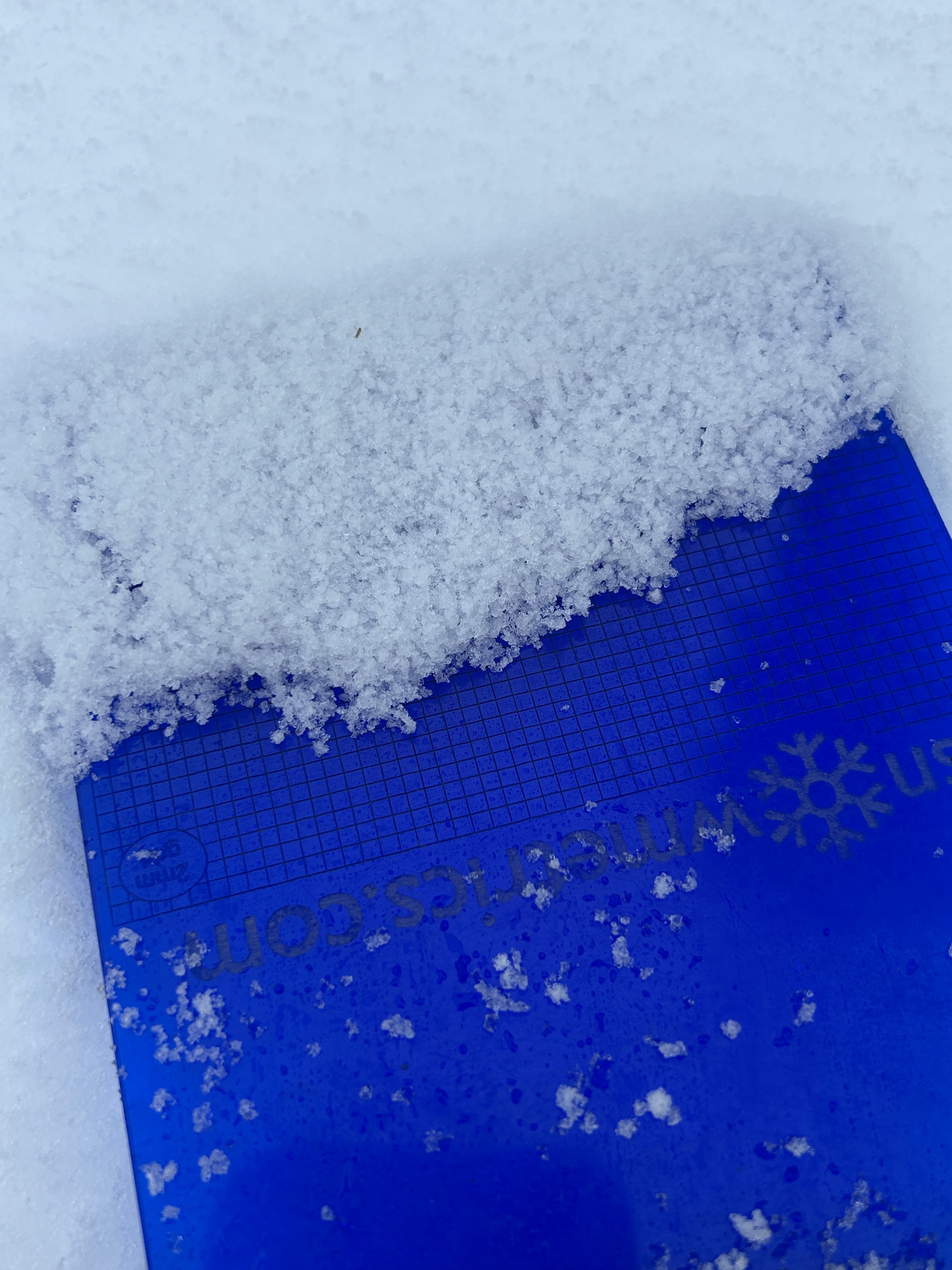
- Mixed precipitation particles comprise much of the snow surface grain type