
Quick report
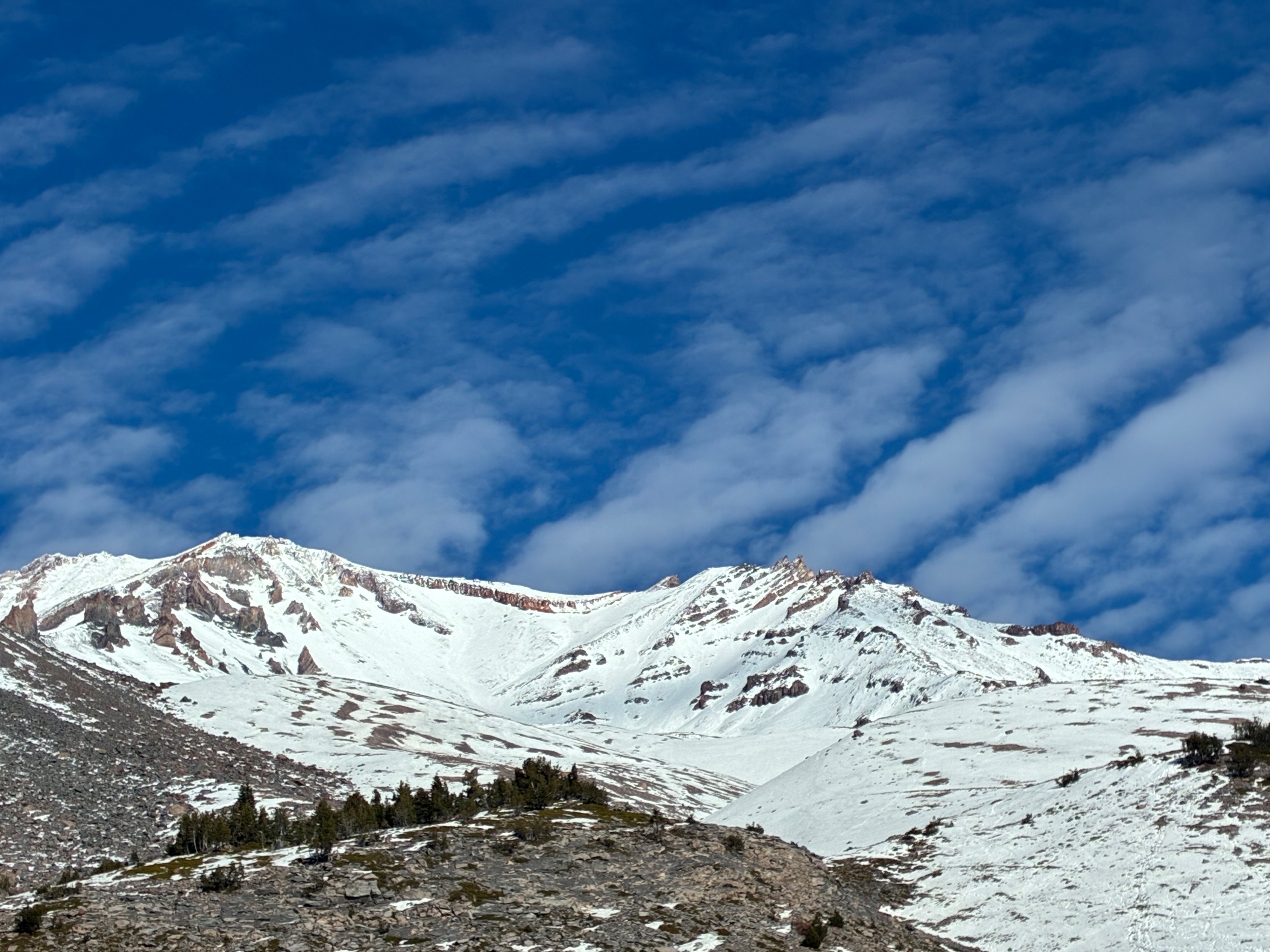
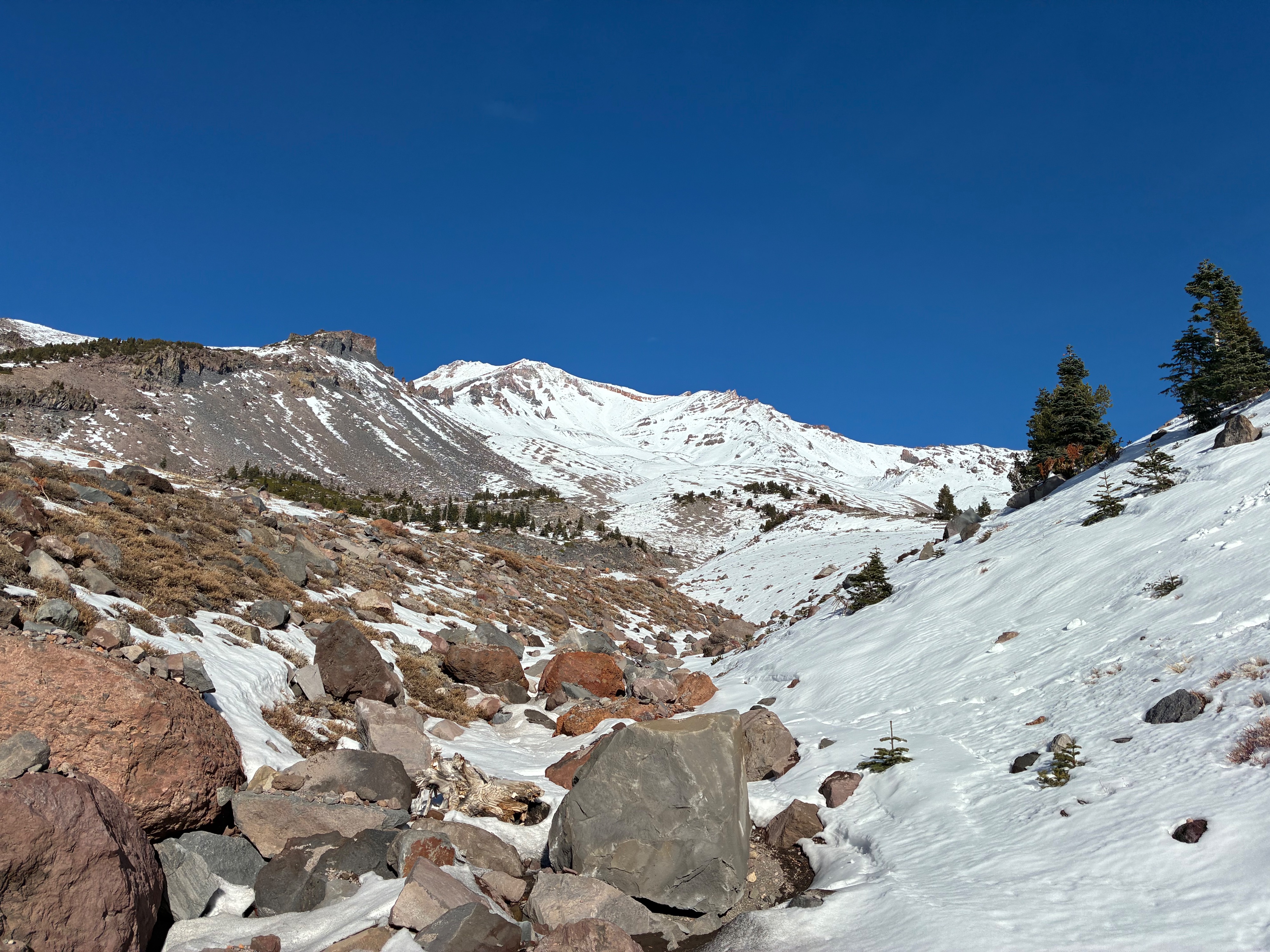
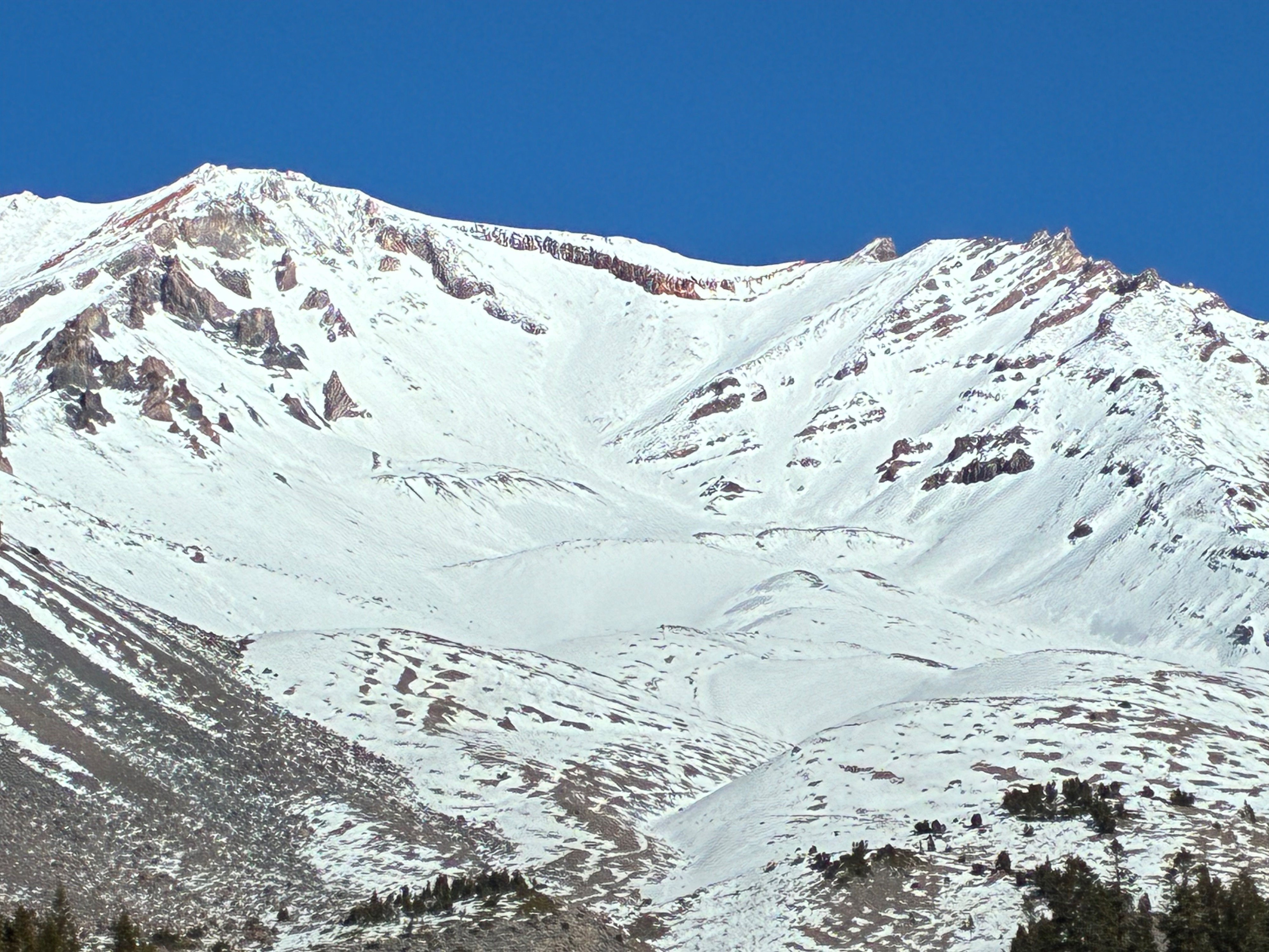
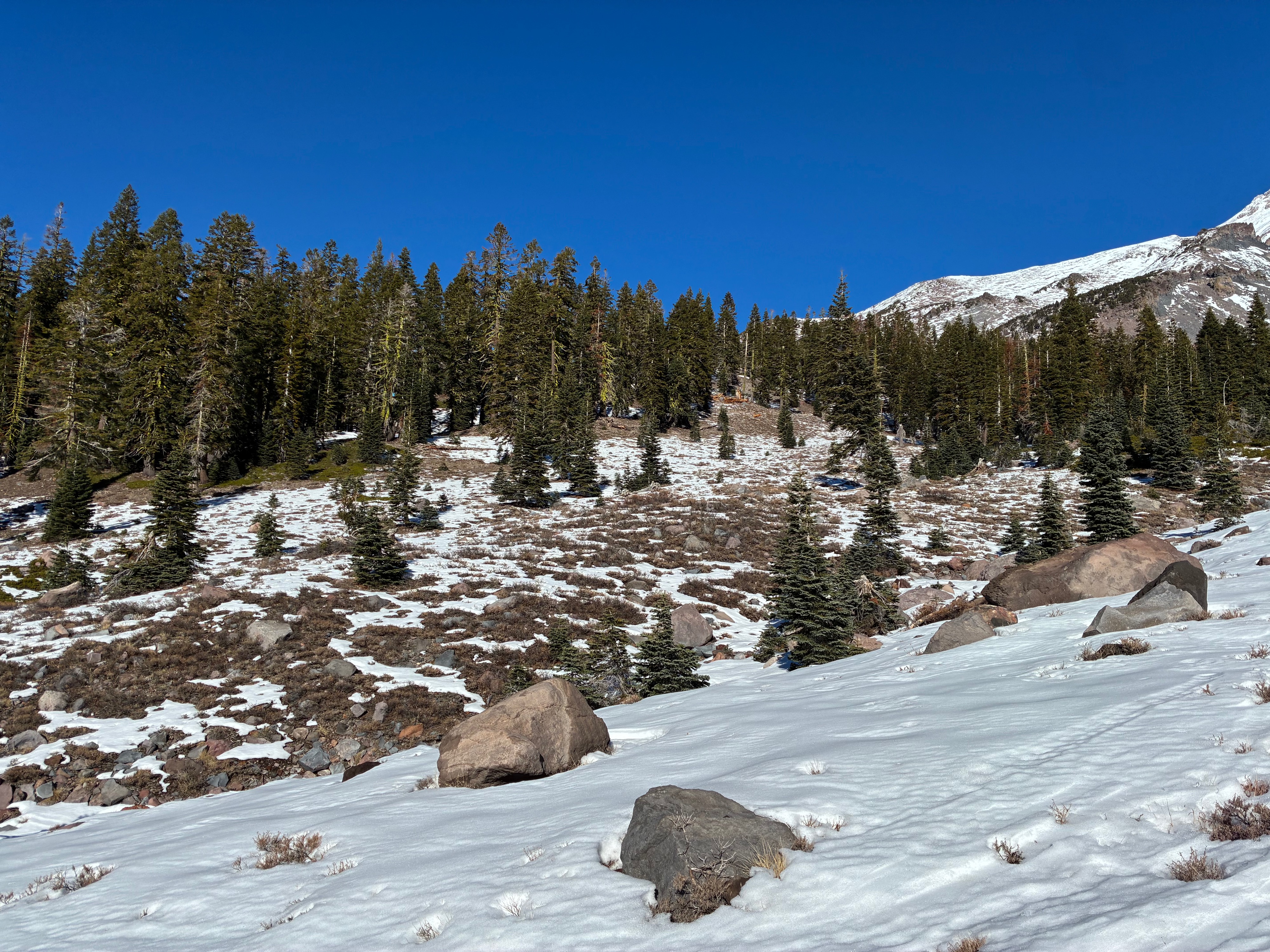
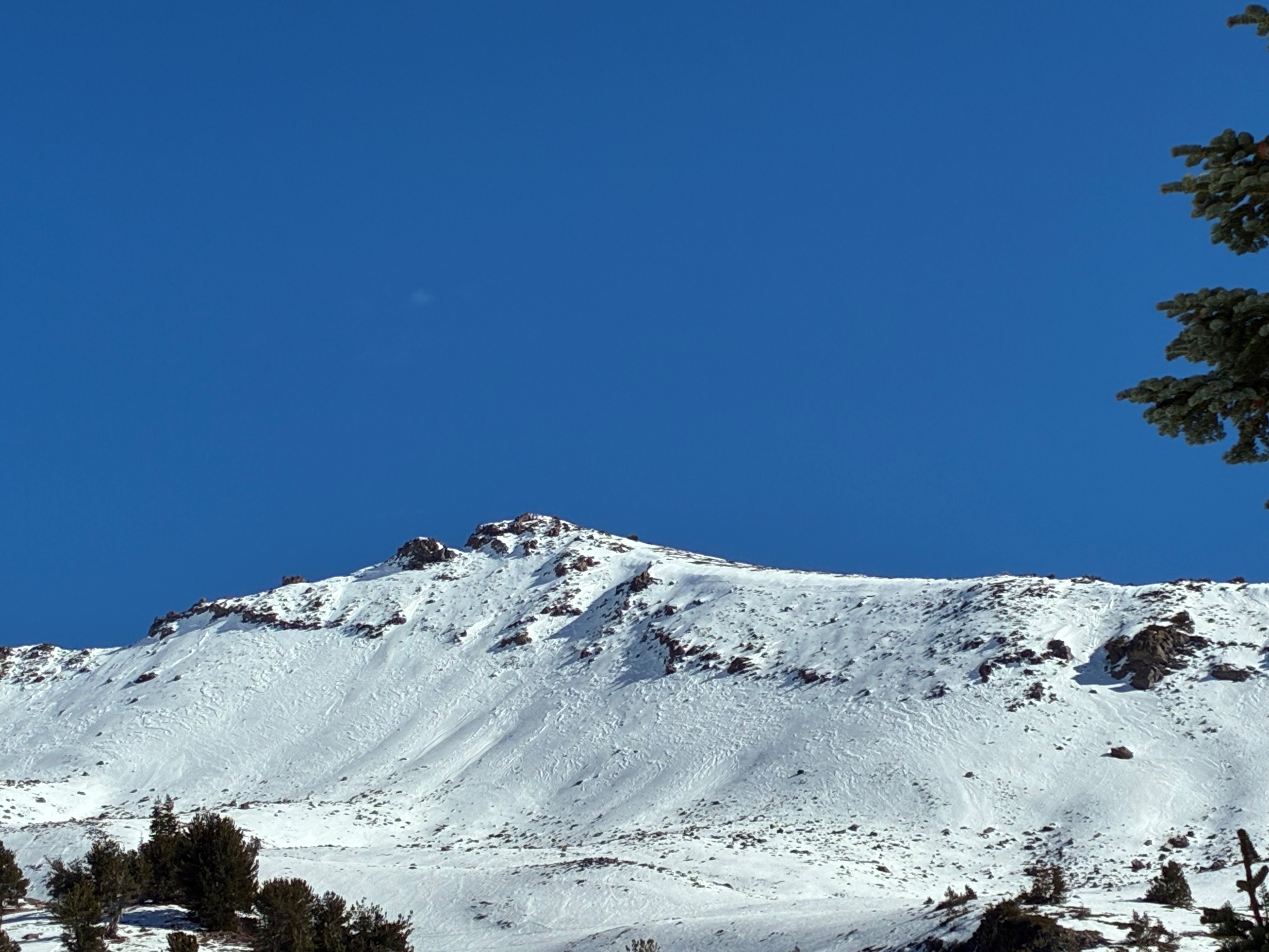
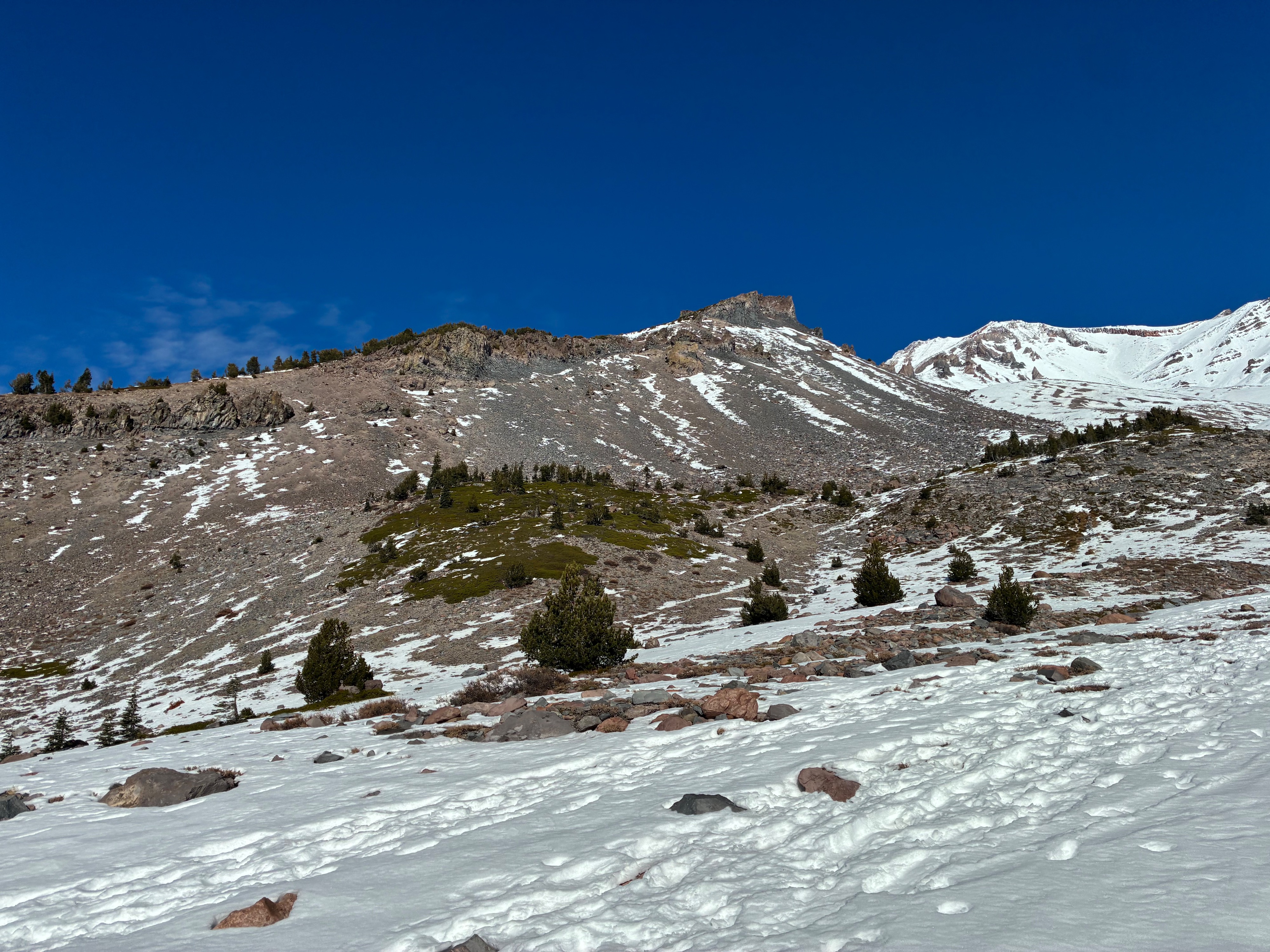
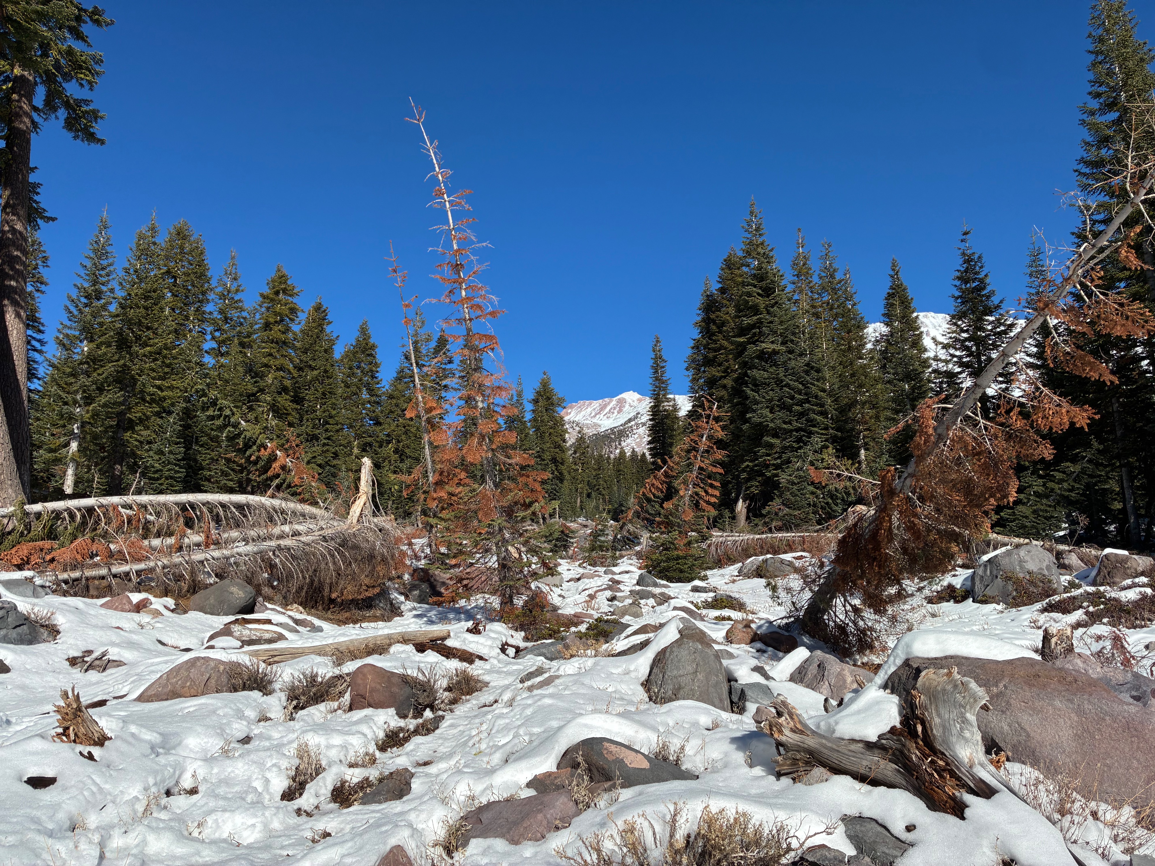
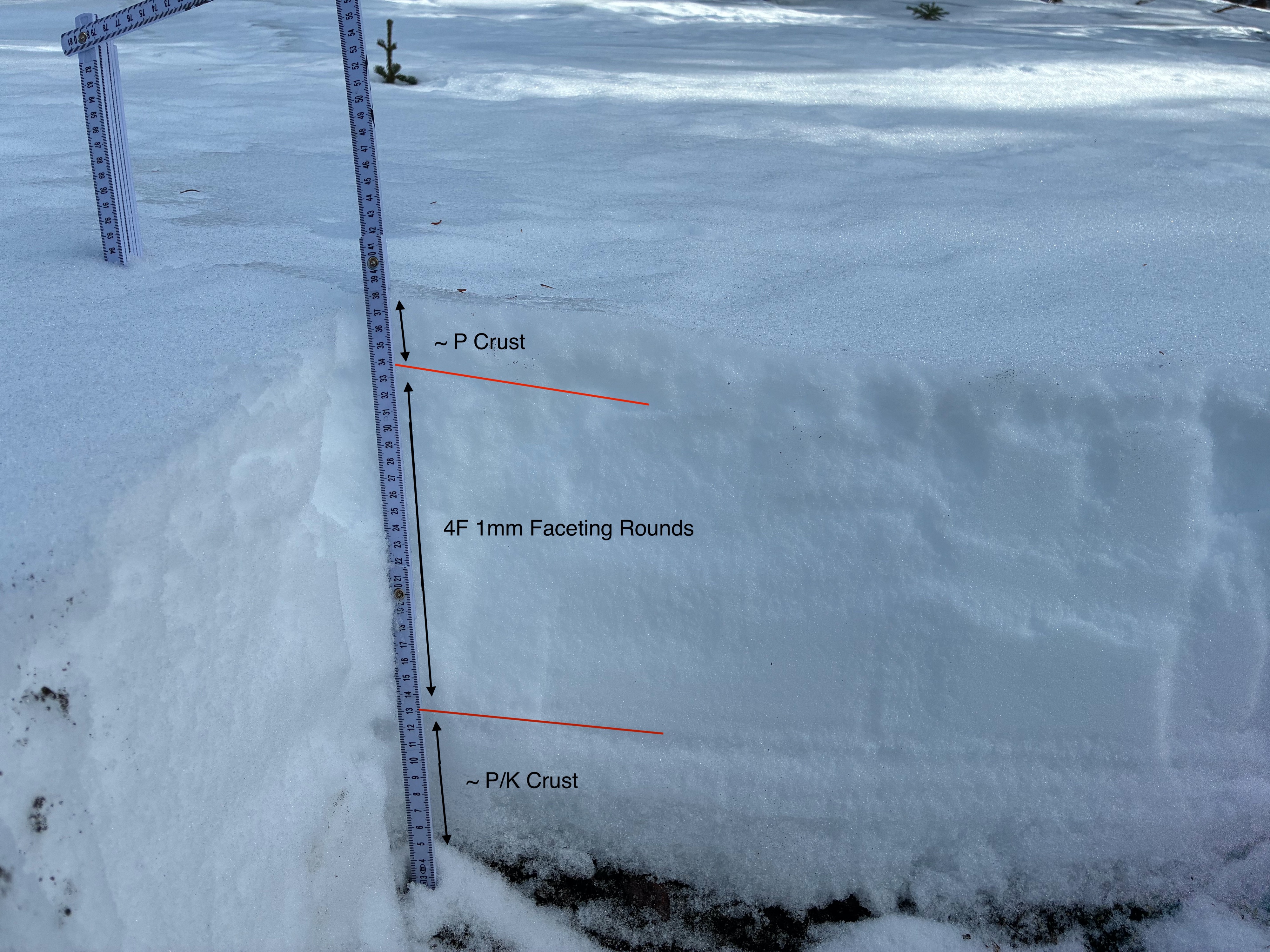
Following yesterday's observation in the Old Ski Bowl, Eric and I headed to Avalanche Gulch to assess conditions. The snowpack is patchy and shallow with numerous hidden and not so hidden obastacles. Rocks, trees, logs, roots, you name it... Other notables include the high degree of spatial variability in snow coverage and surface textures. You can see in the photographs the stark differences between solar and more shady aspects. Wind transport has also played a role, depositing more snow in lee terrain and gullies. Snow surfaces are comprised of significant wind texture in exposed terrain, pervalent crusts and firm snow and icy surfaces. The biggest hazards at this time are buried and unburied obstacles and slide for life conditions. We also investigated the snowpack structure on a northwest aspect near treeline (7800') and indentified about 20 cm of weaker snow (faceting rounds) beneath a melt freeze crust (see photo). It has been about two weeks since our last notable precipitation event (Nov. 16 - 17), and this location is evidence that the snowpack has weakened to a degree on shadier aspects. Another recent observation has also idenfitied weak snow in the other half of our forecast zone near Mt. Eddy.
Weather
- Air Temp
- 45
- Cloud Cover
- few
- Wind Loading
- none
- Rain Elevation
- Not Observed
- Recent Snowfall
- NO
- Snow Avail For Transport
- none
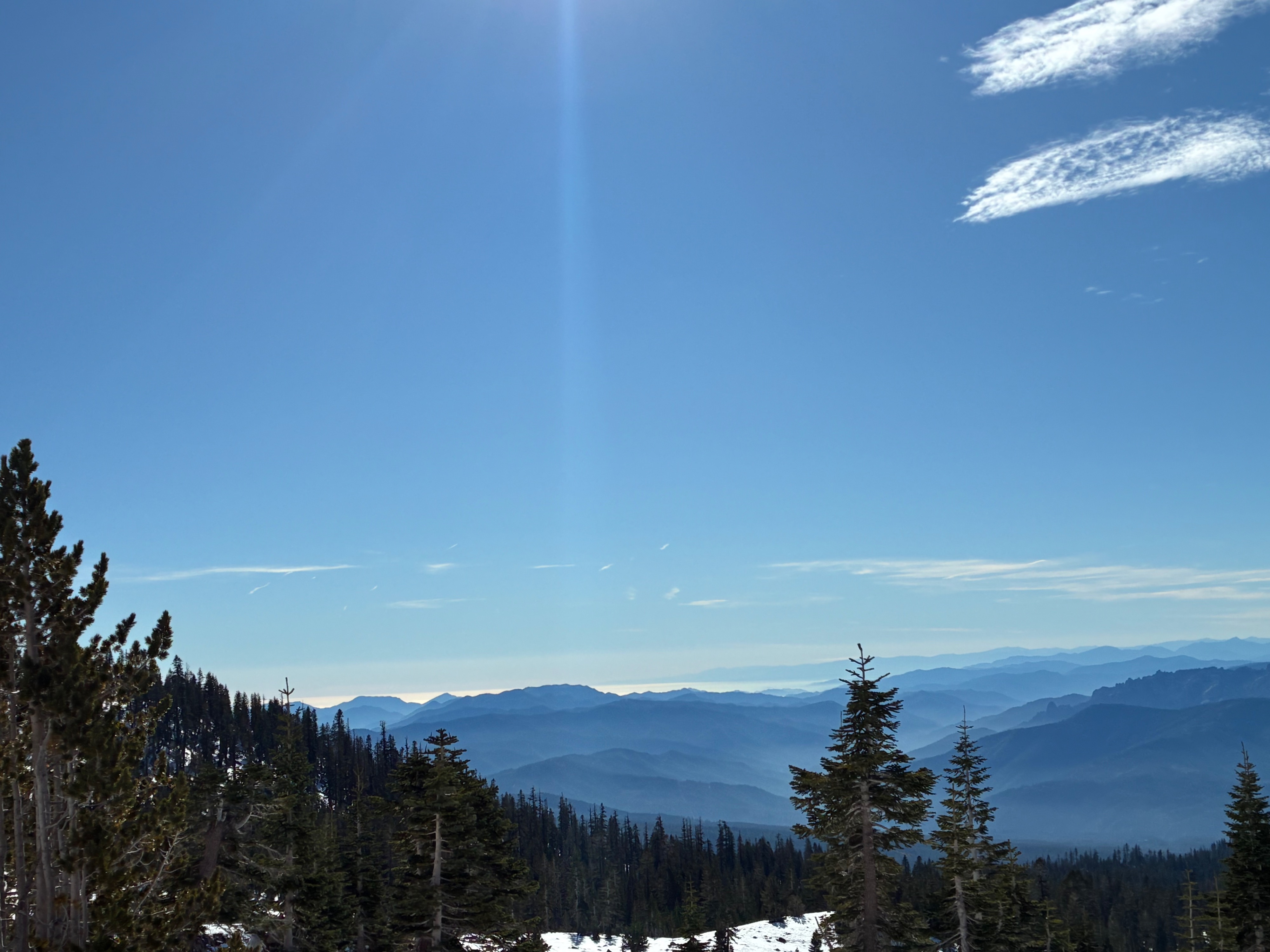
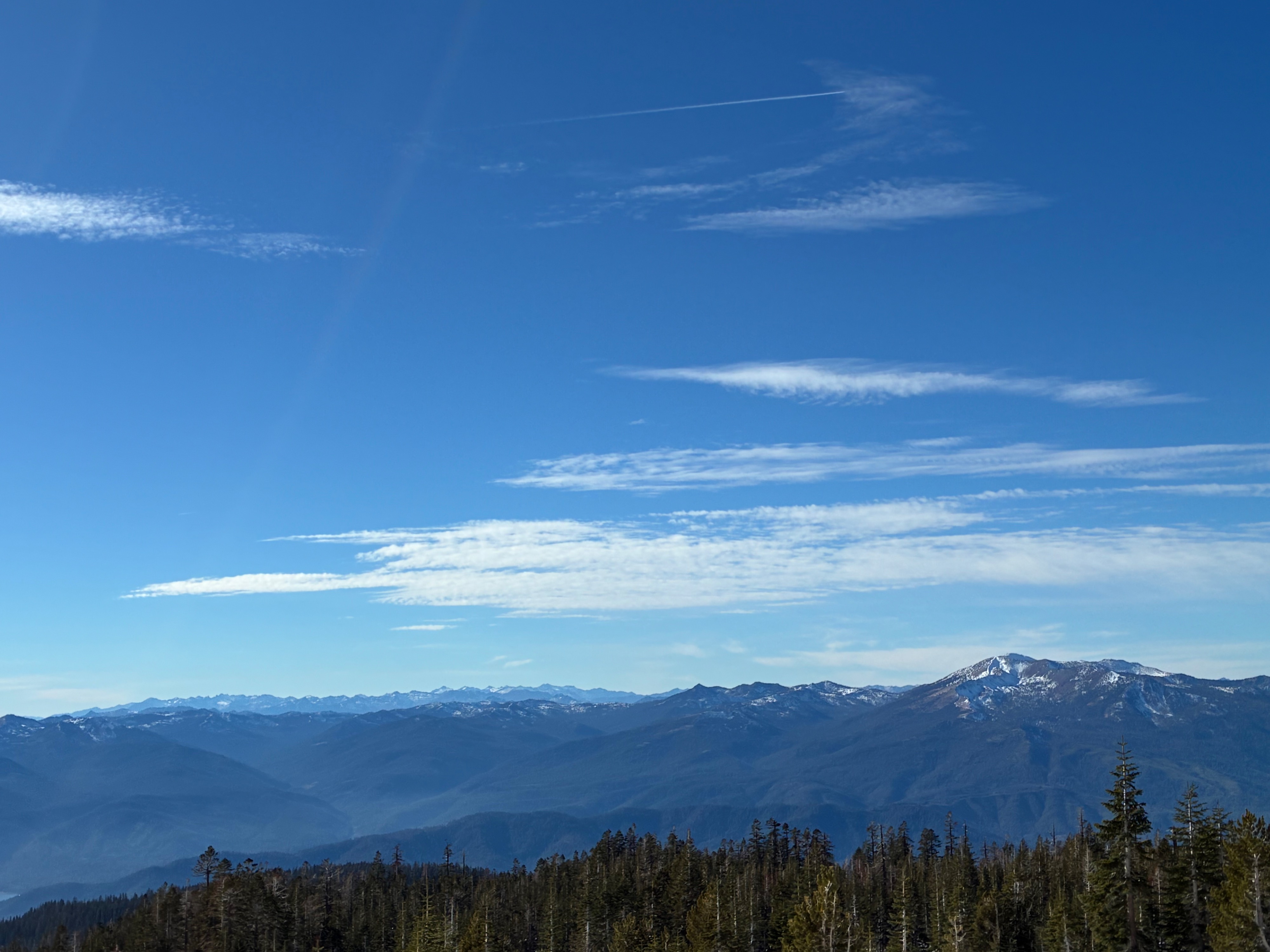
A calm, clear day with afternoon temperatures in the mid 40's and light NW winds