
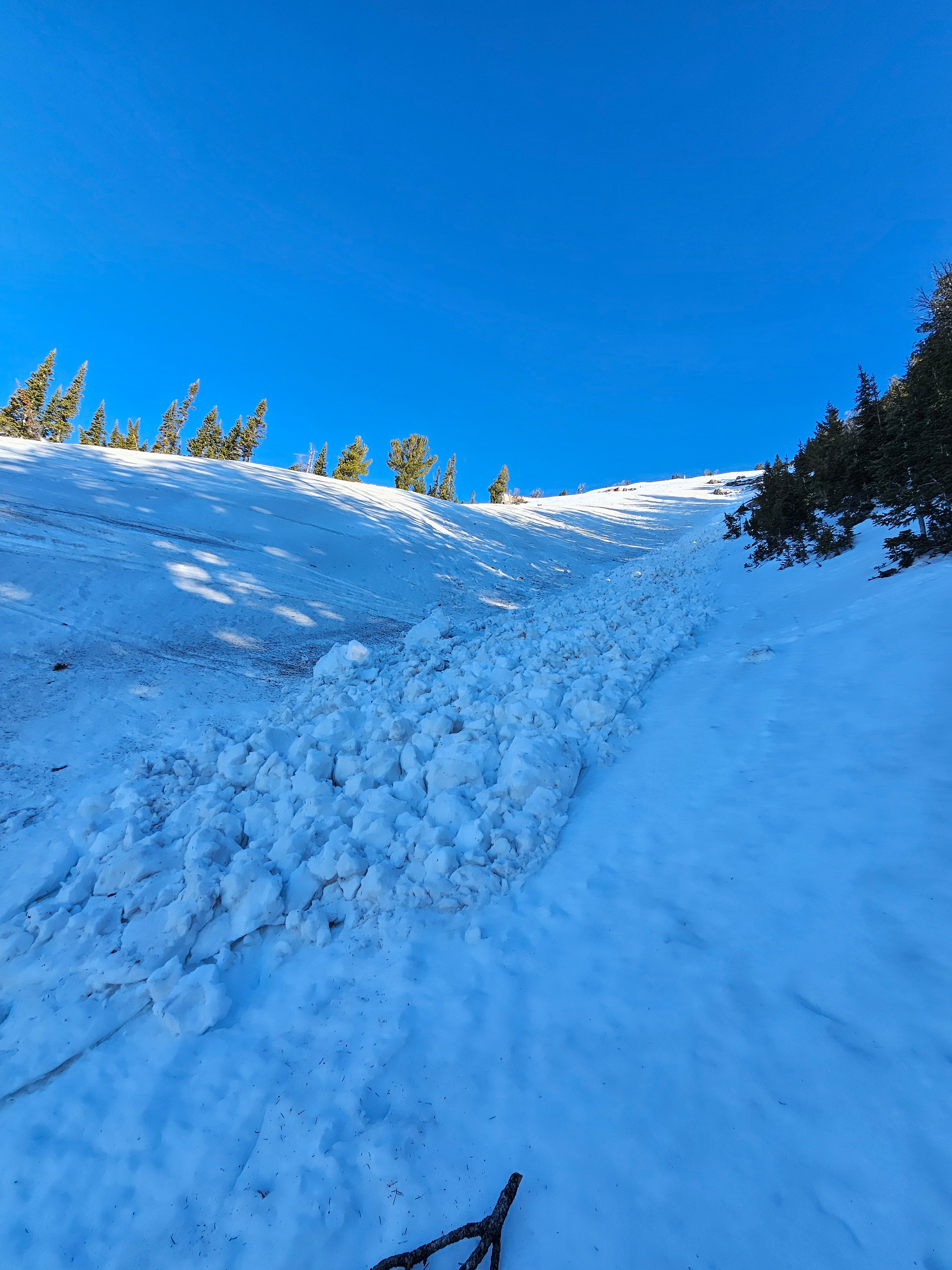
Quick report
This morning all aspects at upper elevations were frozen. Clear skies and sustained westerly winds helped this happen. Very steep east, south, and west slopes had moist snow just underneath the surface. North facing slopes still had cold snow on the surface and below.
Surfaces with direct sunlight where quick to warm and softened with in an hour of being exposed. Shaded areas remained frozen until sun hit them.
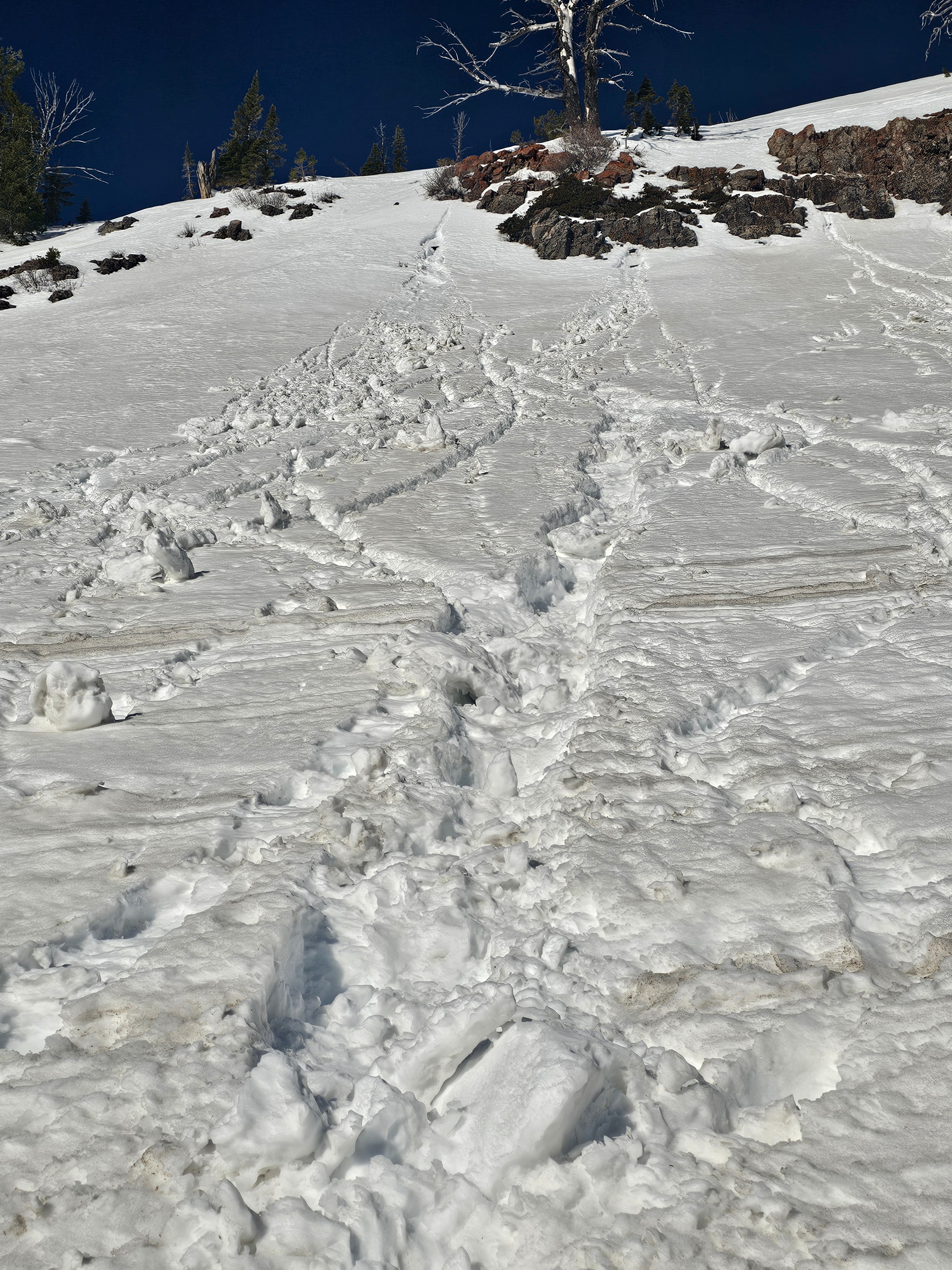
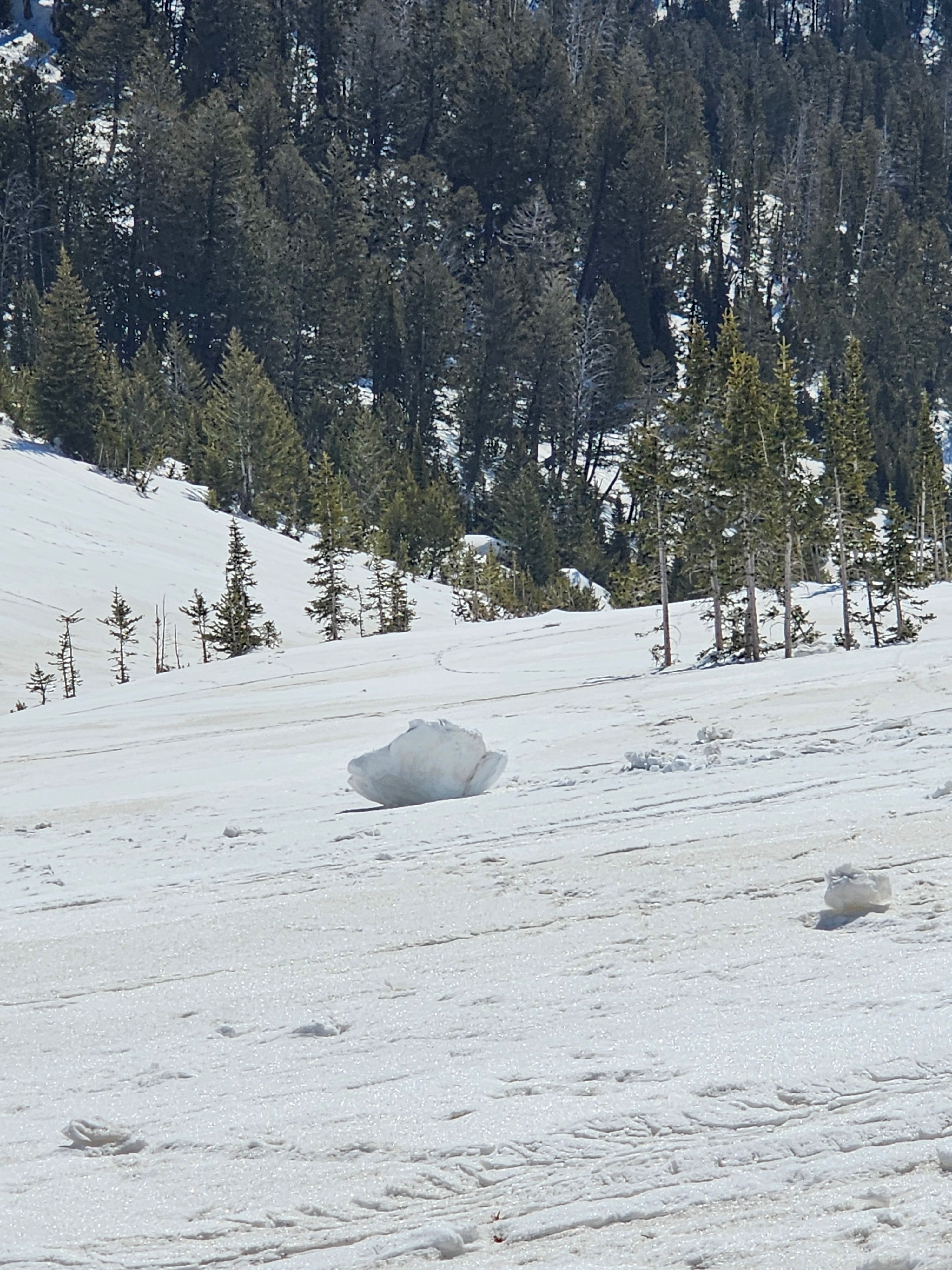
I did note some roller balls triggered by melting snow falling off of rocky features around 10am.
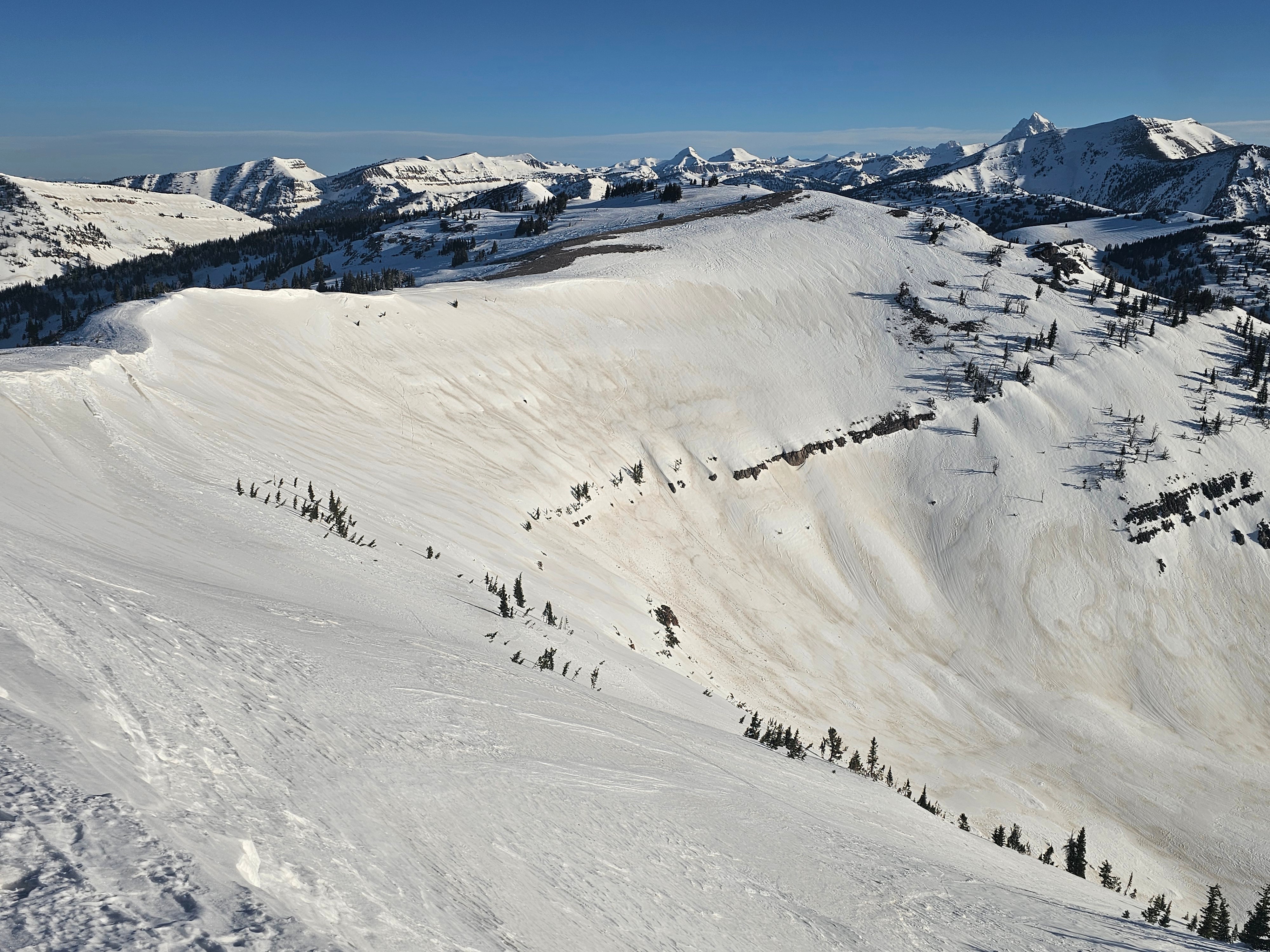
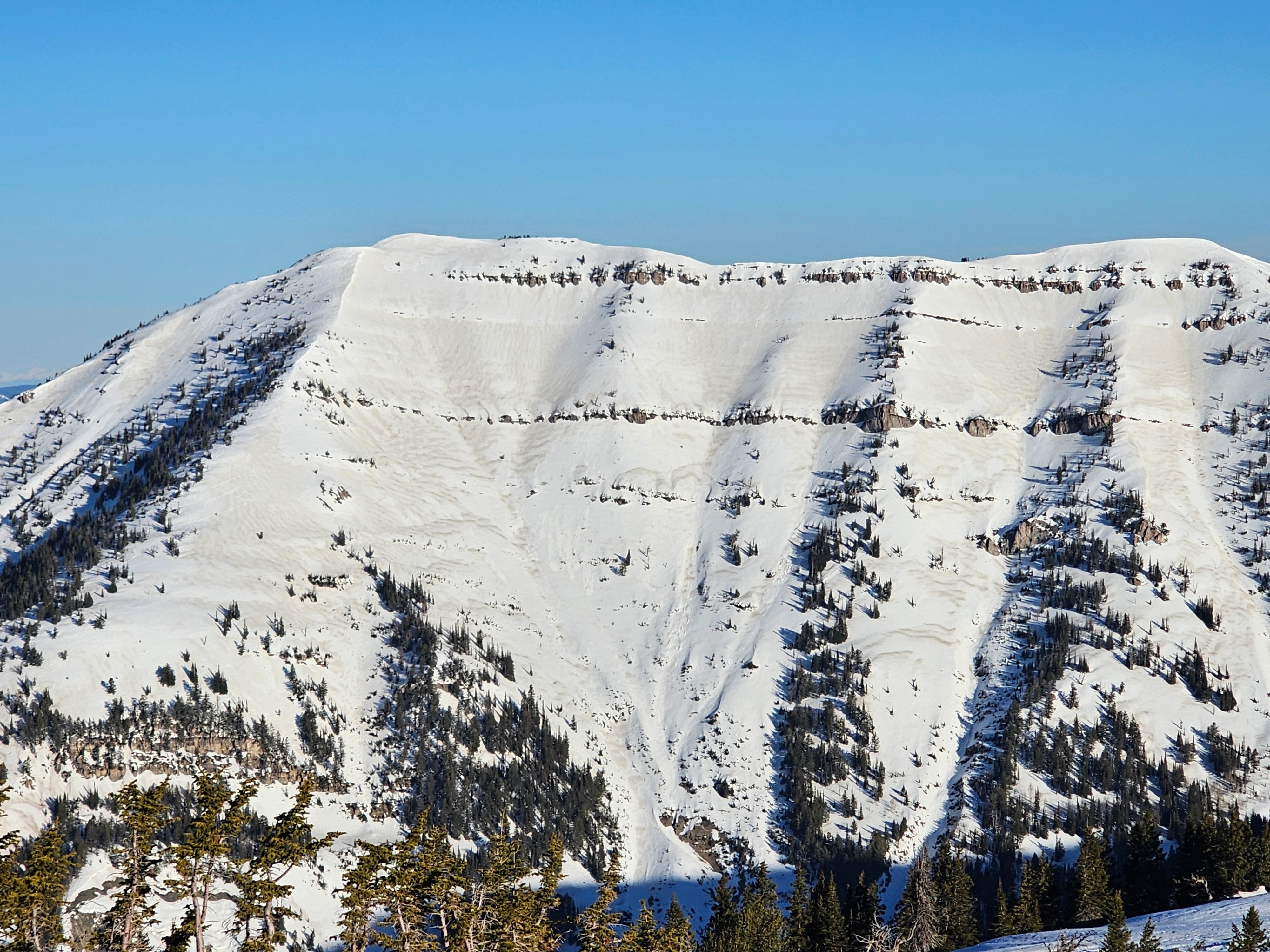
Another factor to note is the widespread dust layer. During the wind storm last week dust from the west was blown into the mountains, the distribution is not perfectly uniform, but it exists on many slopes. The biggest impact I noted was that slopes with dust heated up significantly faster than those without. Moving forward this could contribute to more melting and water in the snowpack, leading to more wet snow avalanche potential.
For today I suspect that human triggered avalanches will become likely on steep slopes that have lost cohesion on the snow surface due to melting. In areas that did not get any sort of refreeze I could see potential for wet slabs as well.
Noted the skier triggered wet loose from yesterday afternoon on Twin Slides. This avalanche was a D1 but would not be a fun ride if you were caught or moved into consequential terrain.Weather
- Air Temp
- 40° F at 8:00am at the Pass
- Cloud Cover
- clear
- Wind Loading
- none
- Snow Avail For Transport
- none
Warm, clear, and a little breazy. Sustained light winds from the W.