
Quick report
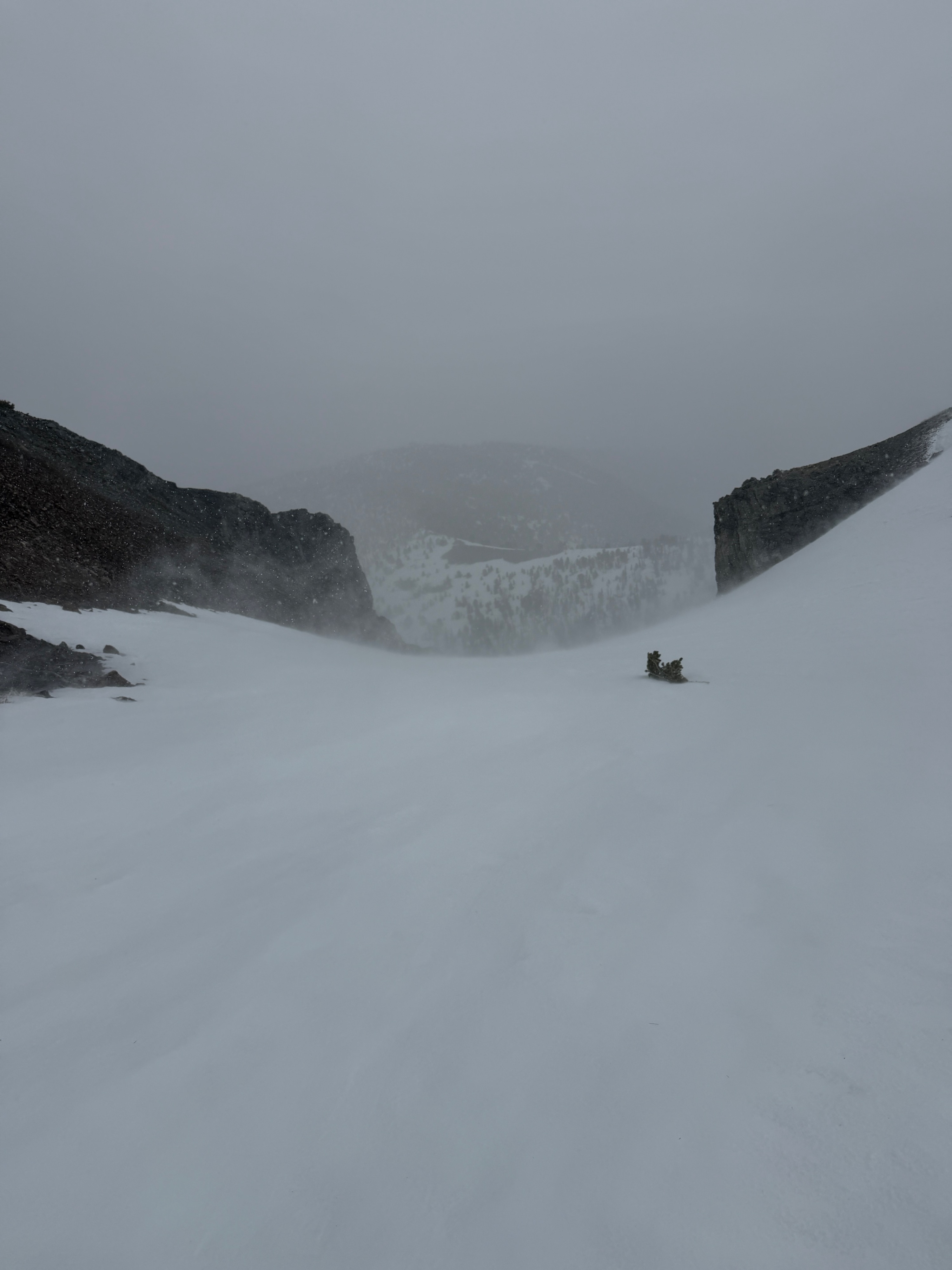
I went on a quick tour to check out today's storm as it was beginning to impact middle and upper elevations in the June Mtn area. Wind was the big player here, and any new snow was actively being transported onto primarily NW-N-E-SE facing slopes at middle and upper elevations. New snow accumulation by 2:00 pm was minimal (~1"), but I found a couple of small, isolated pockets of deeper drifts (4-6") in favorable catchment areas near and below cliff features. Winds were still ripping, and snow was still falling (sideways) when I departed the field around 2:30 pm.
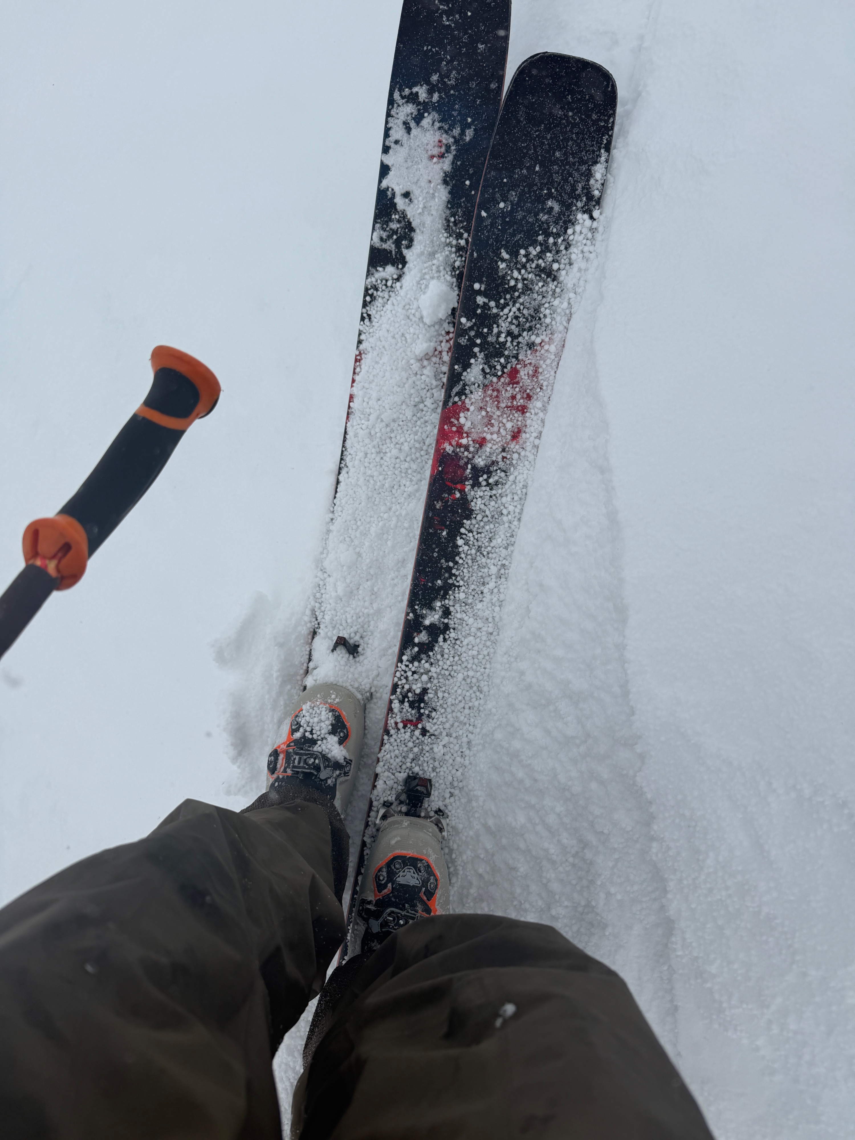
I found some pooled graupel and some small drifts made entirely of graupel. This jived with the convective nature of today's storm.
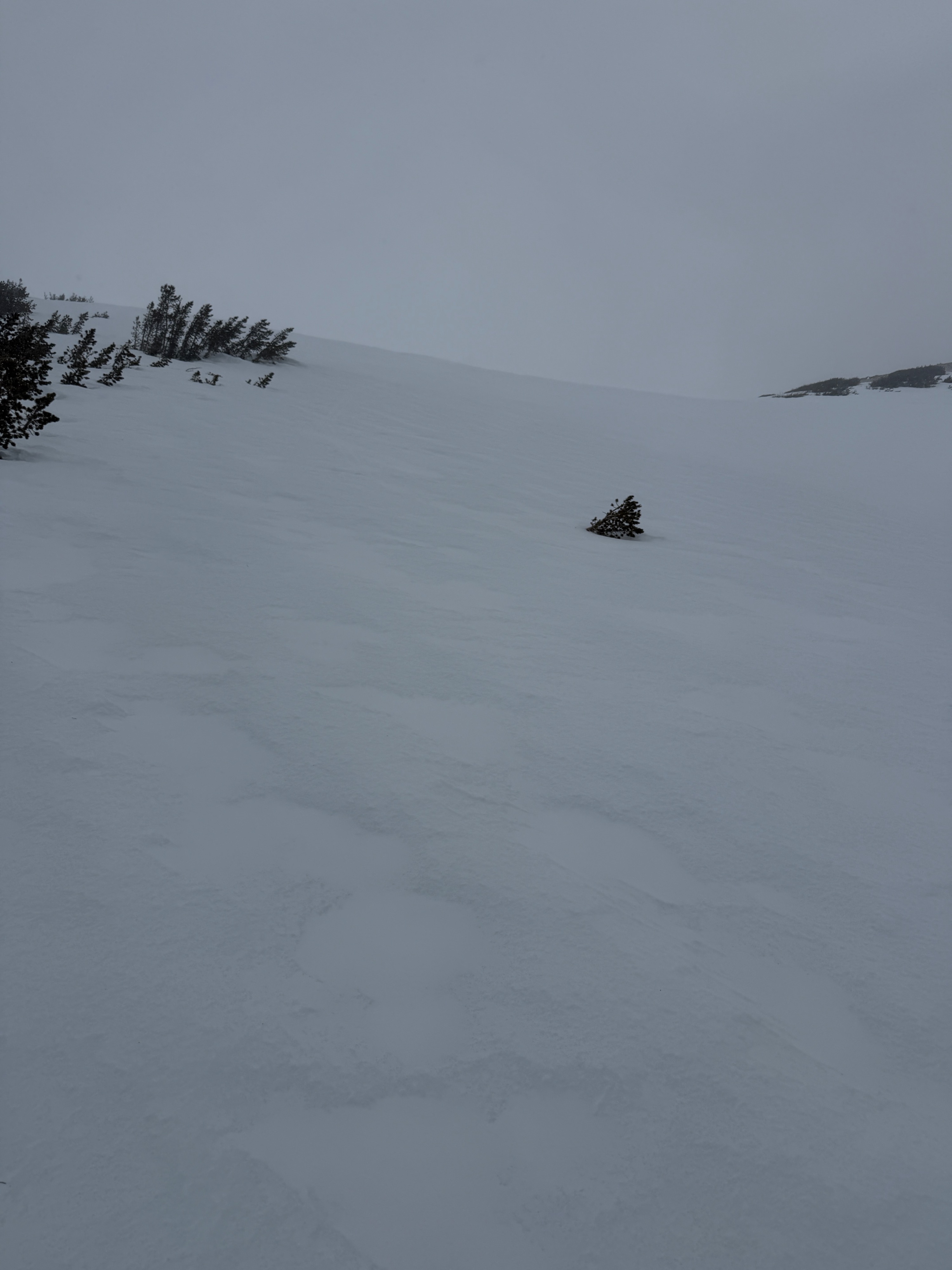
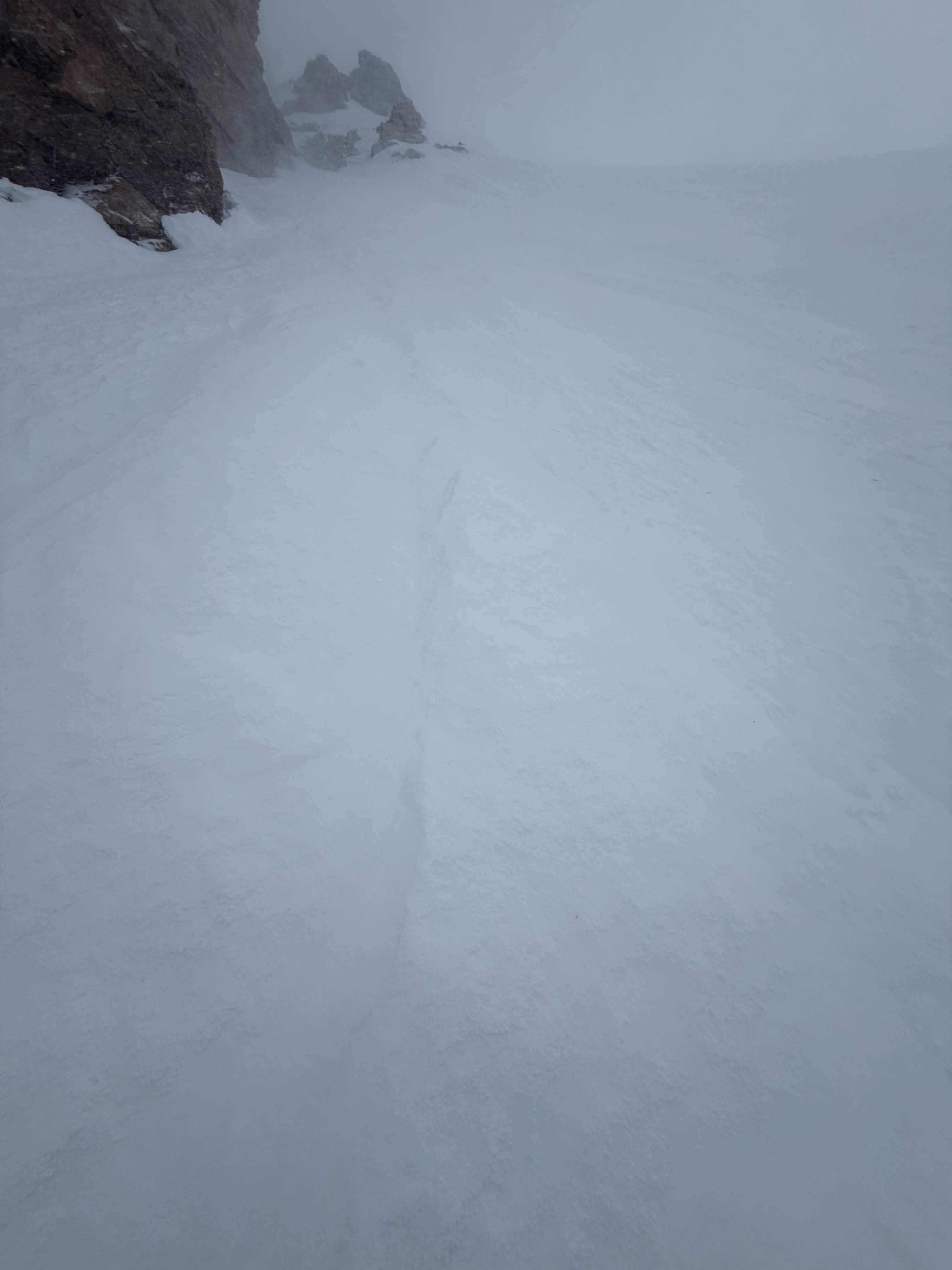
The majority of our new snow was being transported midslope and was beginning to refill divets in our rugged old surface. Any snow-covered surface I traveled over was Knife-to-Ice hard beneath our recent dusting. Smooth and planar was entirely absent in my travels.
Weather
- Air Temp
- 23
- Cloud Cover
- overcast
- Wind Loading
- moderate
- Recent Snowfall
- T-2cm
- Snow Avail For Transport
- small smounts
Temperatures cooled throughout my tour. Skies were overcast at low elevations and obscured as I gained elevation. Intermittent flurries before noon, and sustained S-1 to S1 from noon on. Winds were moderate to strong out of the southwest, with some variable, gale-force gusts. Gauging new snow accumulation was tough given the wind intensity, but by 2:00 pm, less wind-affected areas held 2cm of new snow.
Avalanche
No recent avalanches.