
Quick report
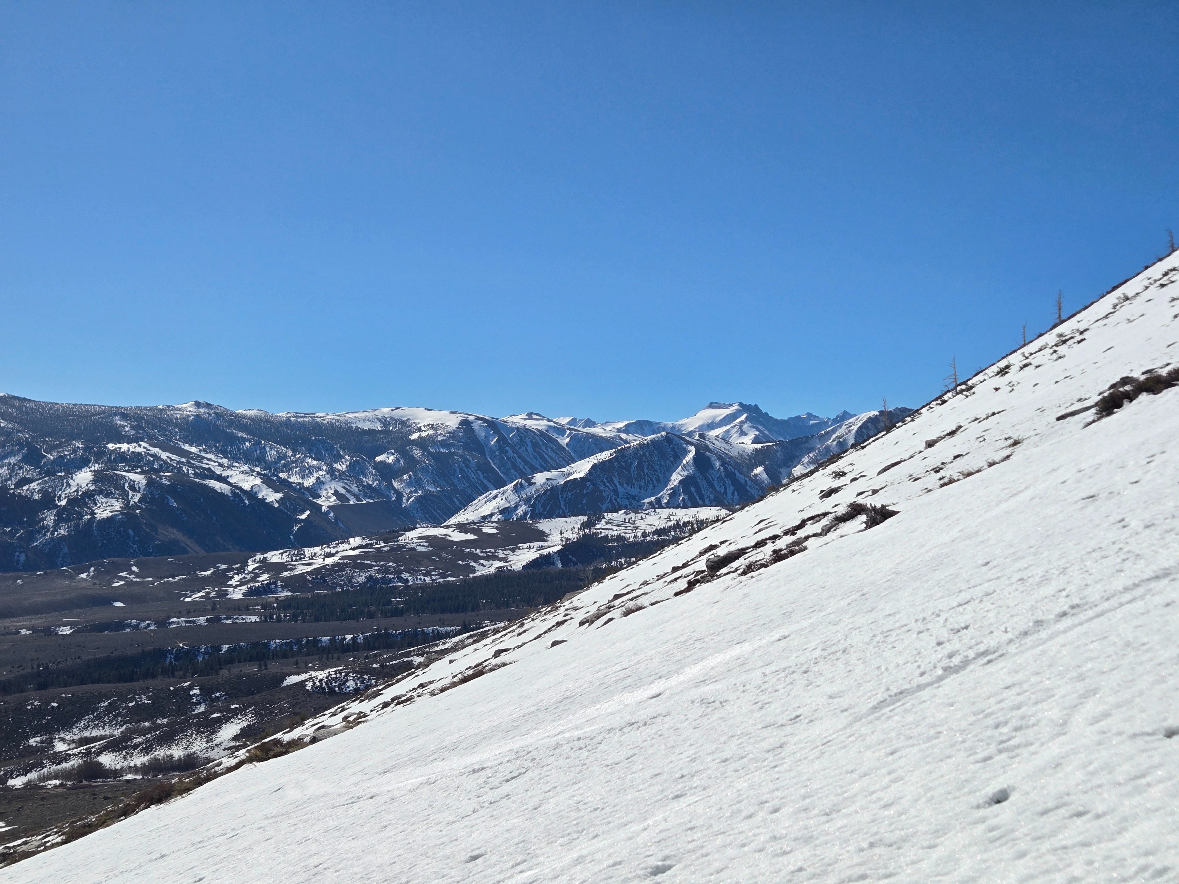
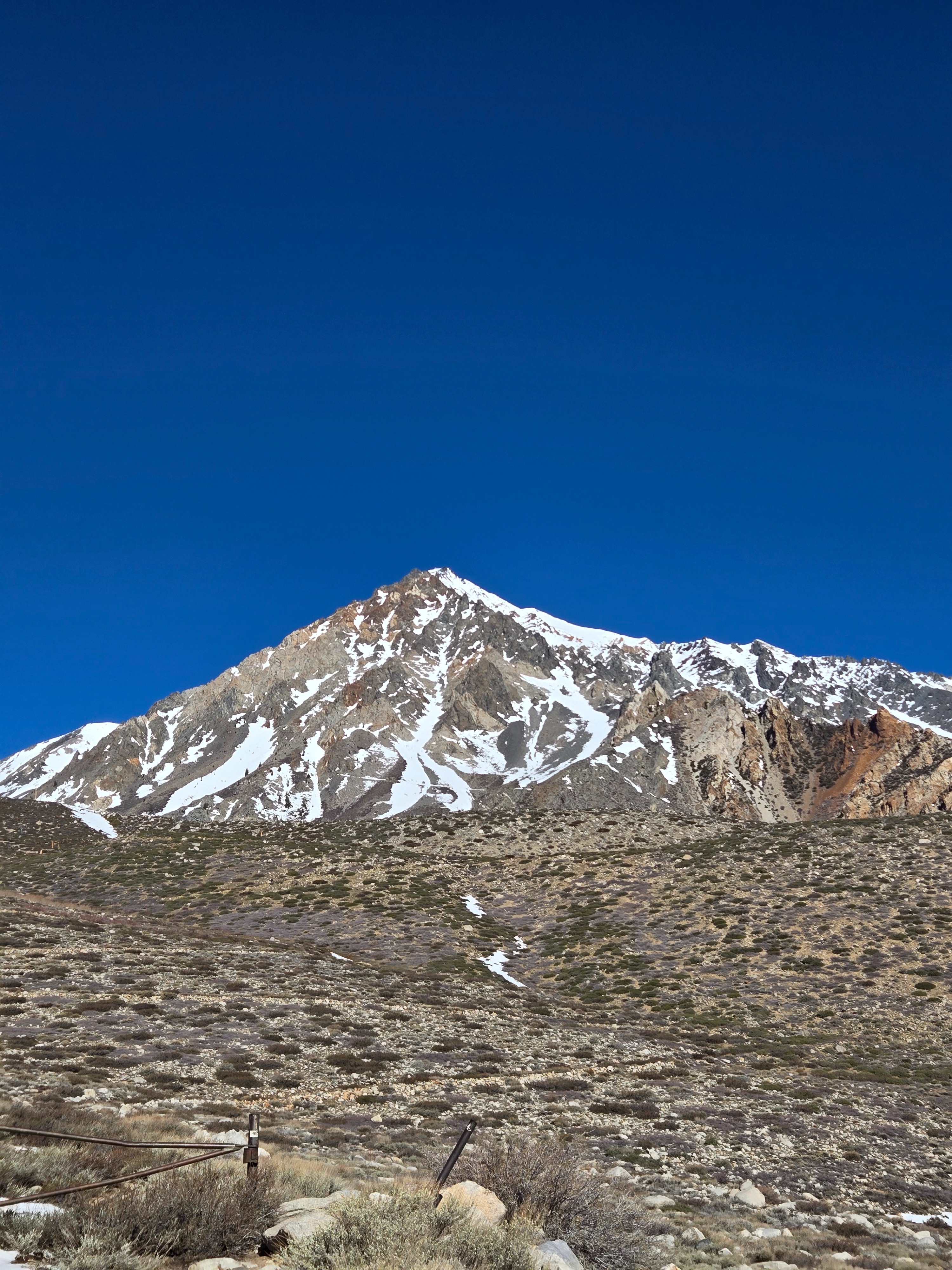
We wanted to see what the snowpack looked like across all elevations in the Bishop area as we roll into a week of exceptional, unseasonable warming.
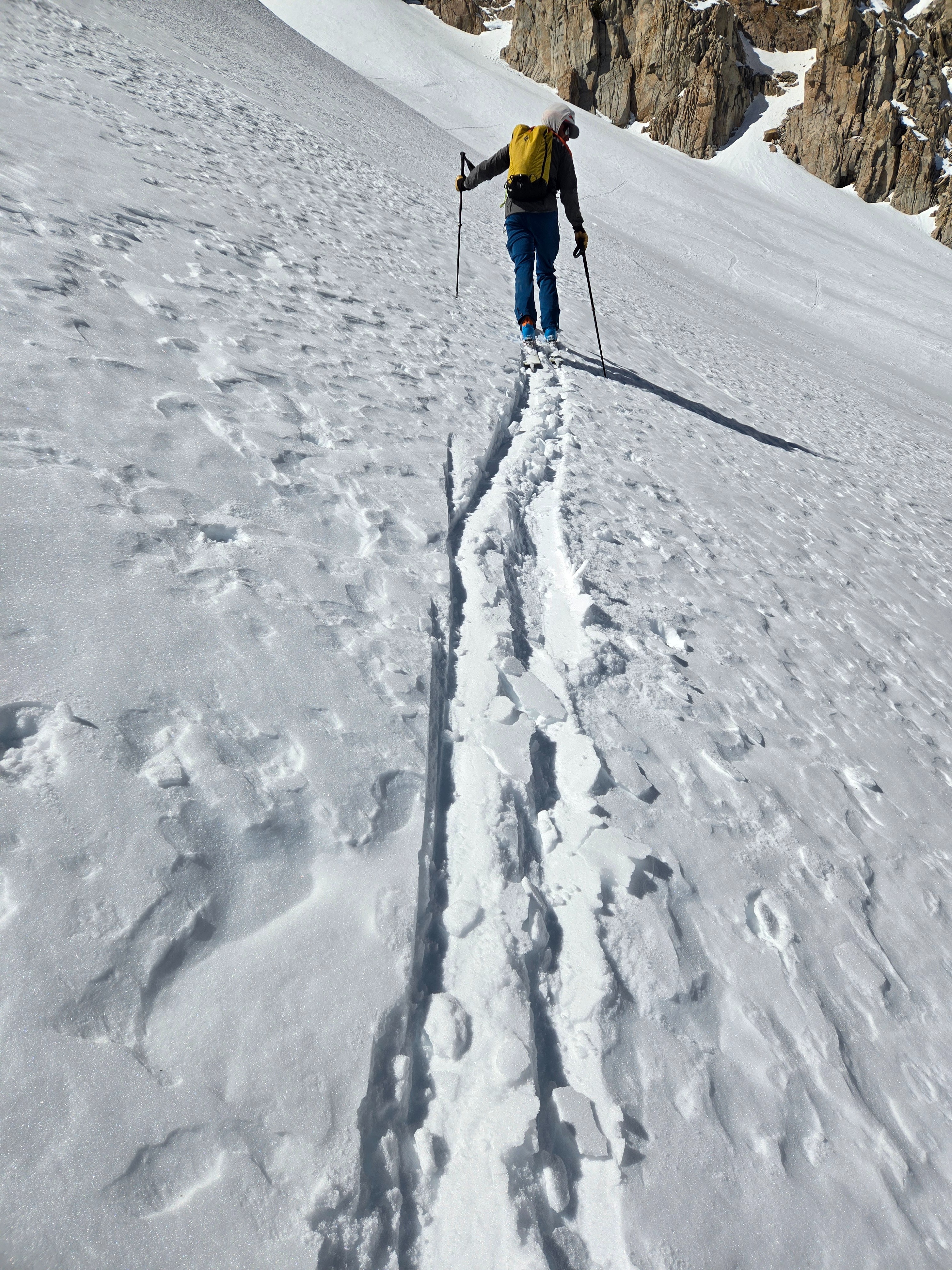
- We saw no signs of instability today.
- The melt-freeze snow surface was supportable in the morning and thawed to wet corn snow early in the afternoon. The surface and snowpack were dry on due north-facing slopes above 10,500 ft. Between 10,000 and about 11,500 ft., we found snowpack structure consisting of coarse-grained facets under a stiff, fine-grained slab. (see snowpack section for details)
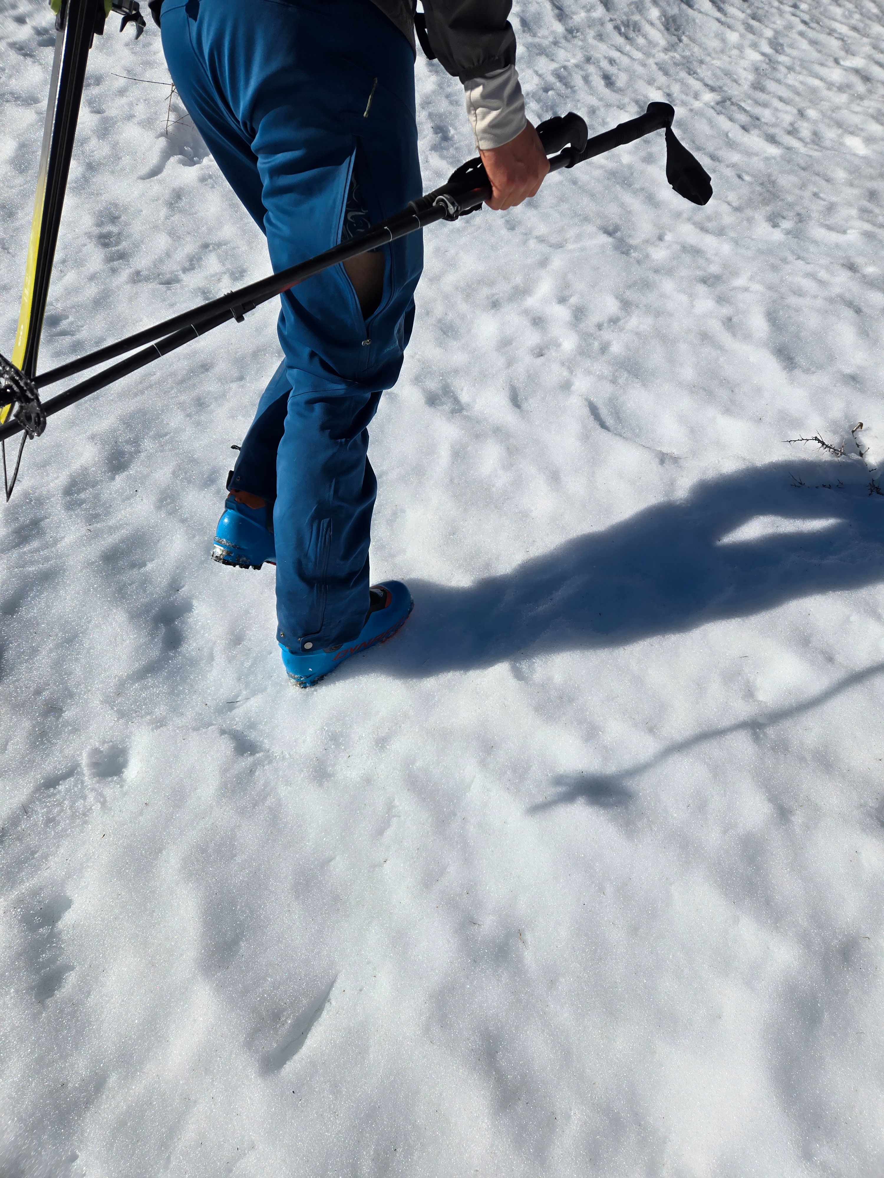
- It was hot. We were sweating in our sun hoodies all day. Light northeast winds blowing upslope in the morning decreased and shifted to the south.
Weather
- Air Temp
- Hot
- Cloud Cover
- clear
- Wind Loading
- none
- Rain Elevation
- NA
- Recent Snowfall
- 0
- Snow Avail For Transport
- small smounts
Temps well above freezing with light winds and fully sunny skies. Classic East Side weather that felt more like late April than early March.
Snowpack
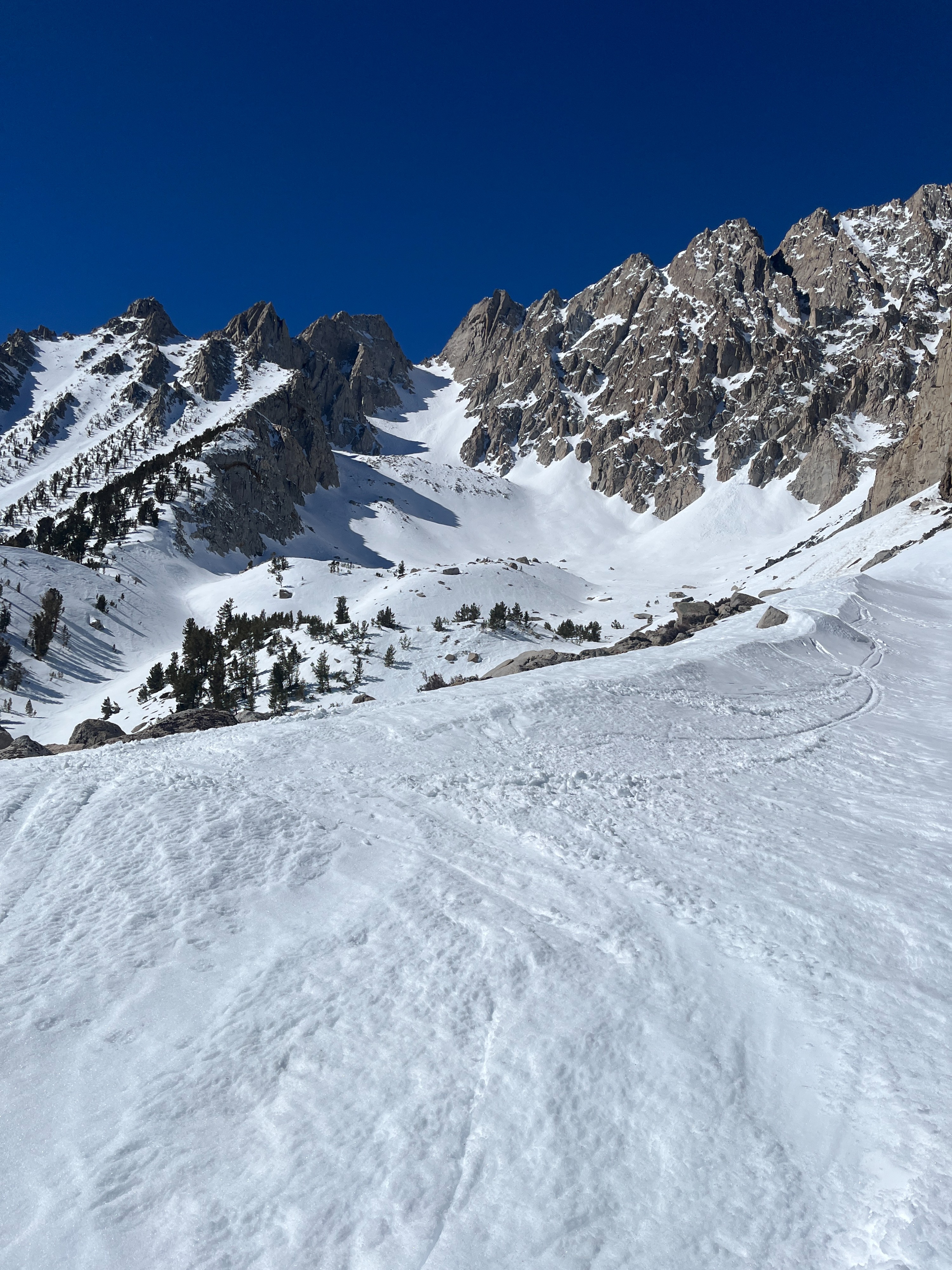
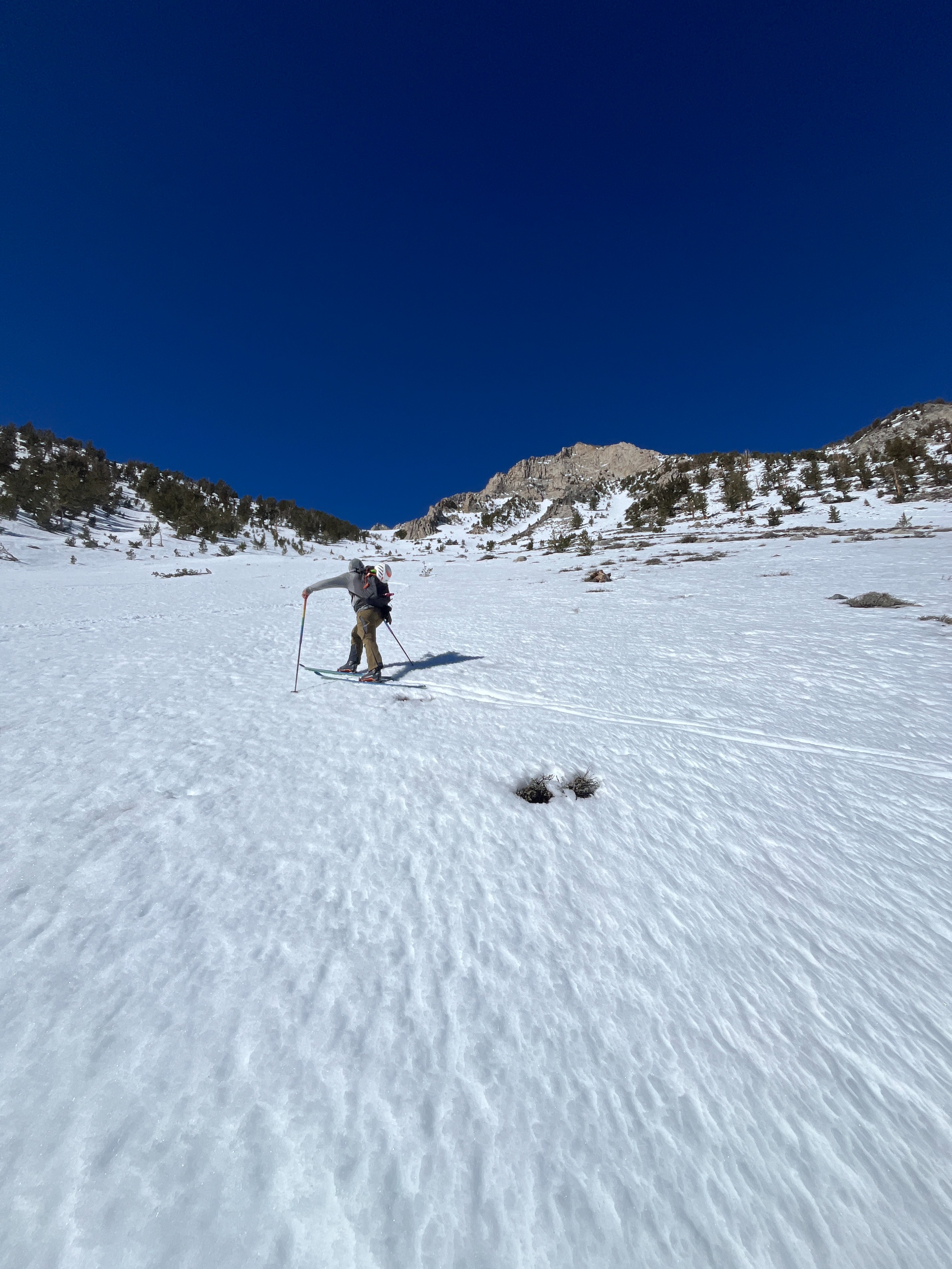
Coverage was thin, but we managed to stay on skis from 8000 feet.
Surfaces:
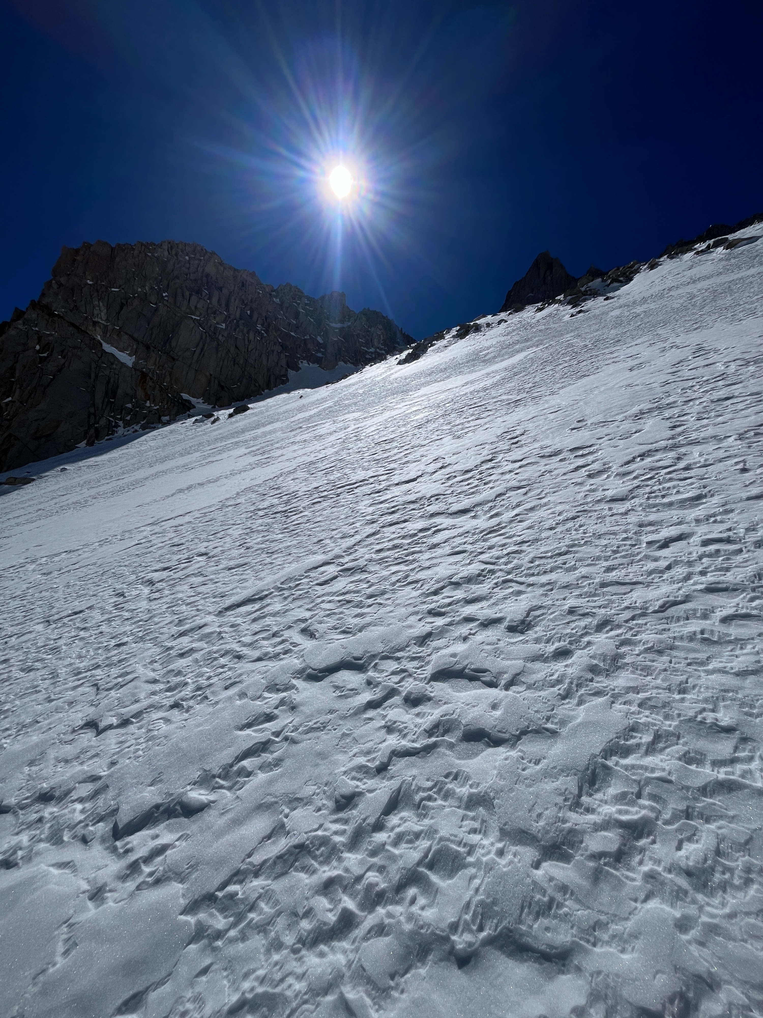
- Melt forms and melt-freeze crusts abound on all aspects except due north above about 10,500 ft. where we found dry wind-affected snow.
Structure:
- Below about 10,000 ft. we found that the whole snowpack consisted of melt forms. Surfaces were hard in the morning and thawed to supportable corn by early afternoon.
- Starting around 10,000 ft. we found a layered snowpack consisting of facets and crusts. The snowpack was mostly dry below the melt form surface. (see Basin Moraine profile)
- Between 10,000 ft. and about 11,500 ft. we found a dry snowpack with large-grained facets under a dry, hard, fine-grained slab. (see Basin Mid-Slope profile)
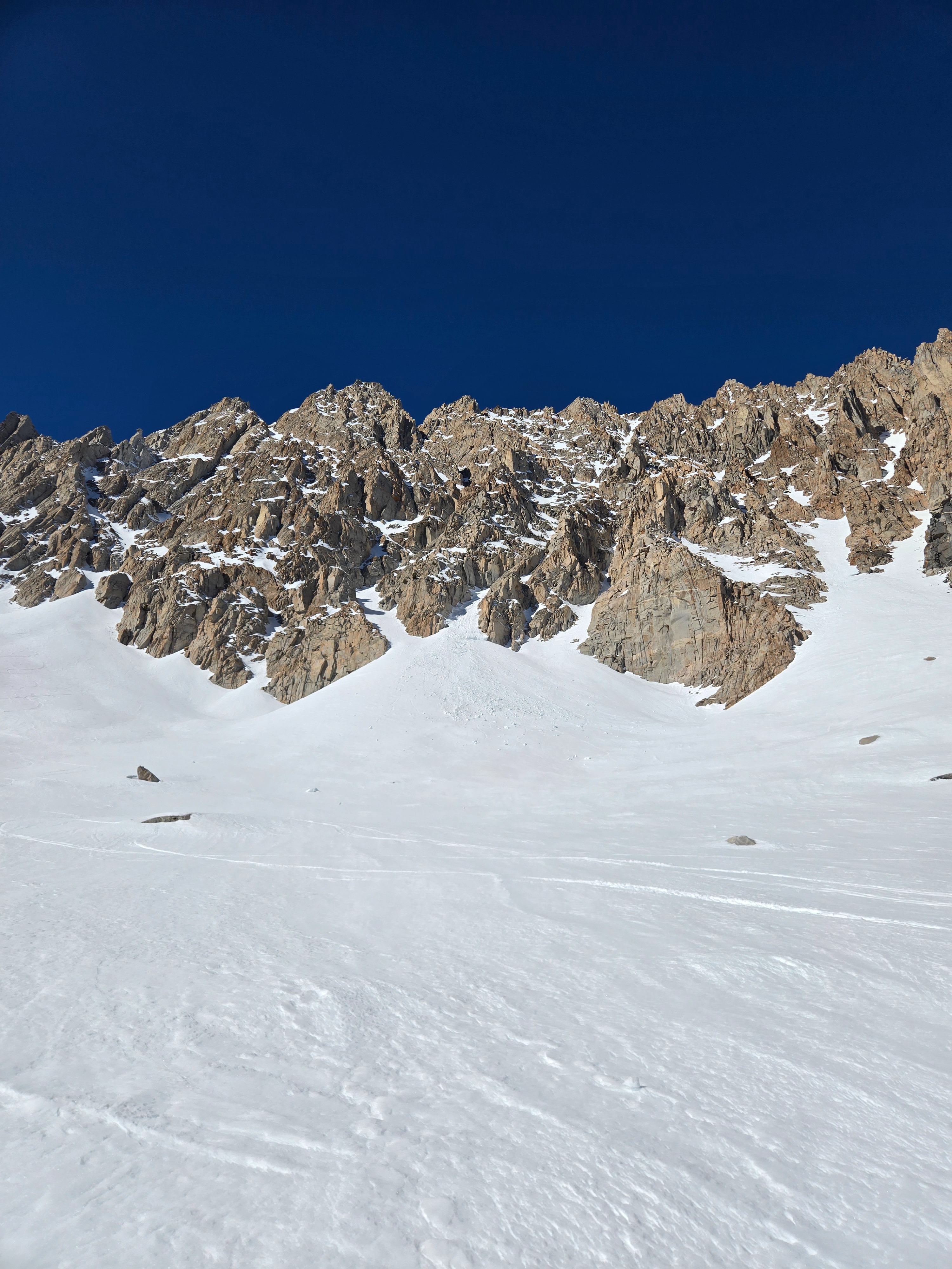
- At 11,500 ft. we found a dry, deep, and hard upper snowpack. (see Basin Couloir profile)
Avalanche
We saw a few small wet loose avalanches that were old enough that we suspect they were from the last warm-up.