
Quick report
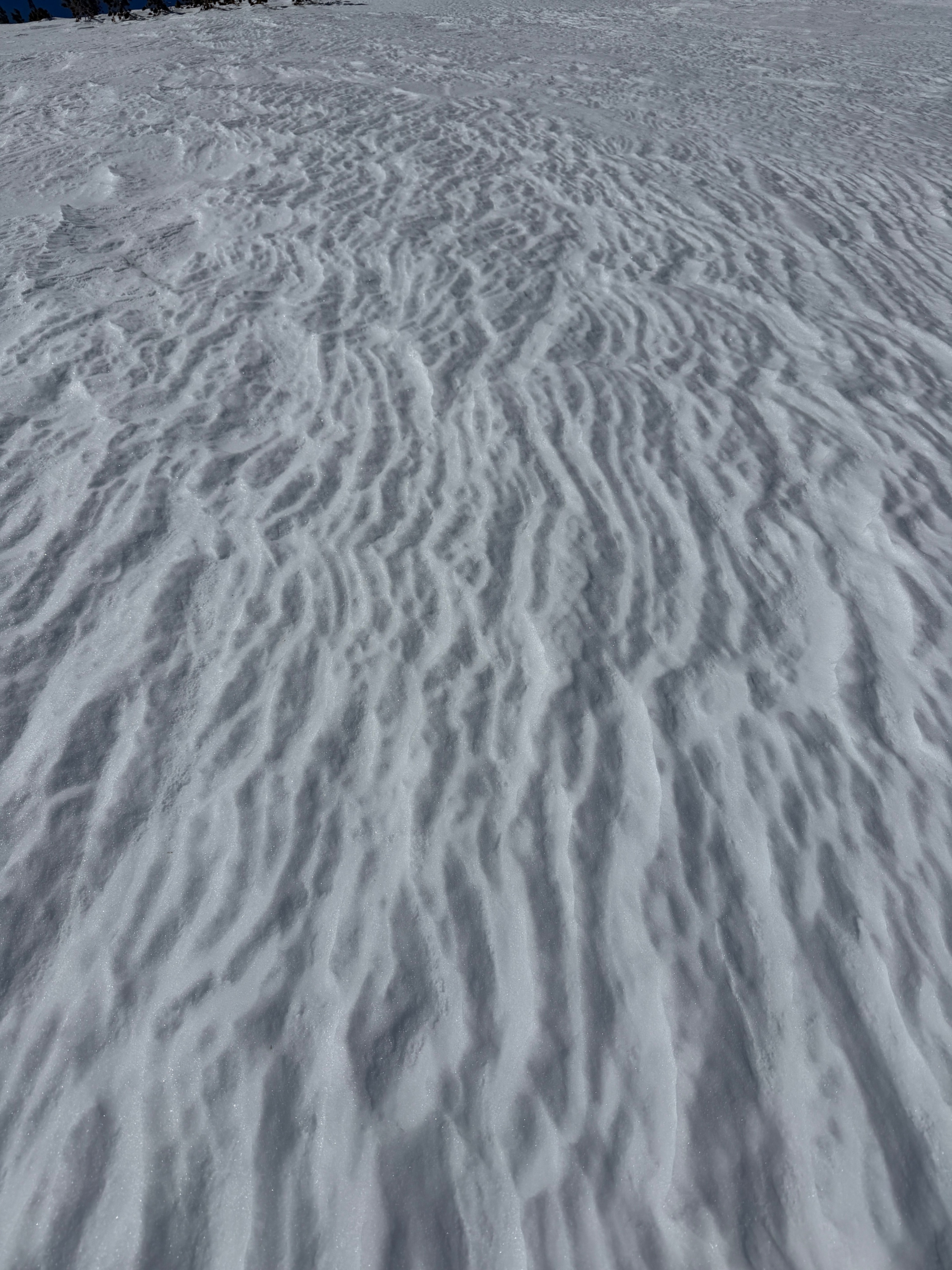
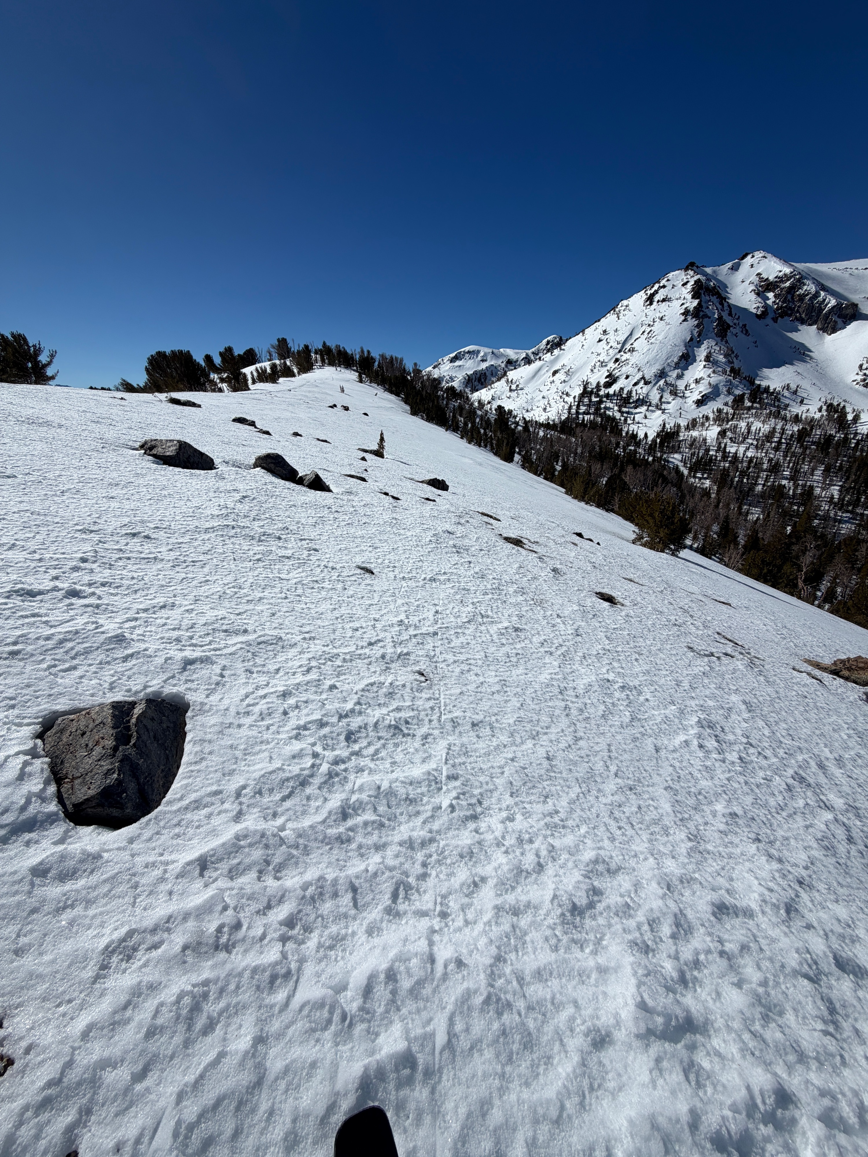
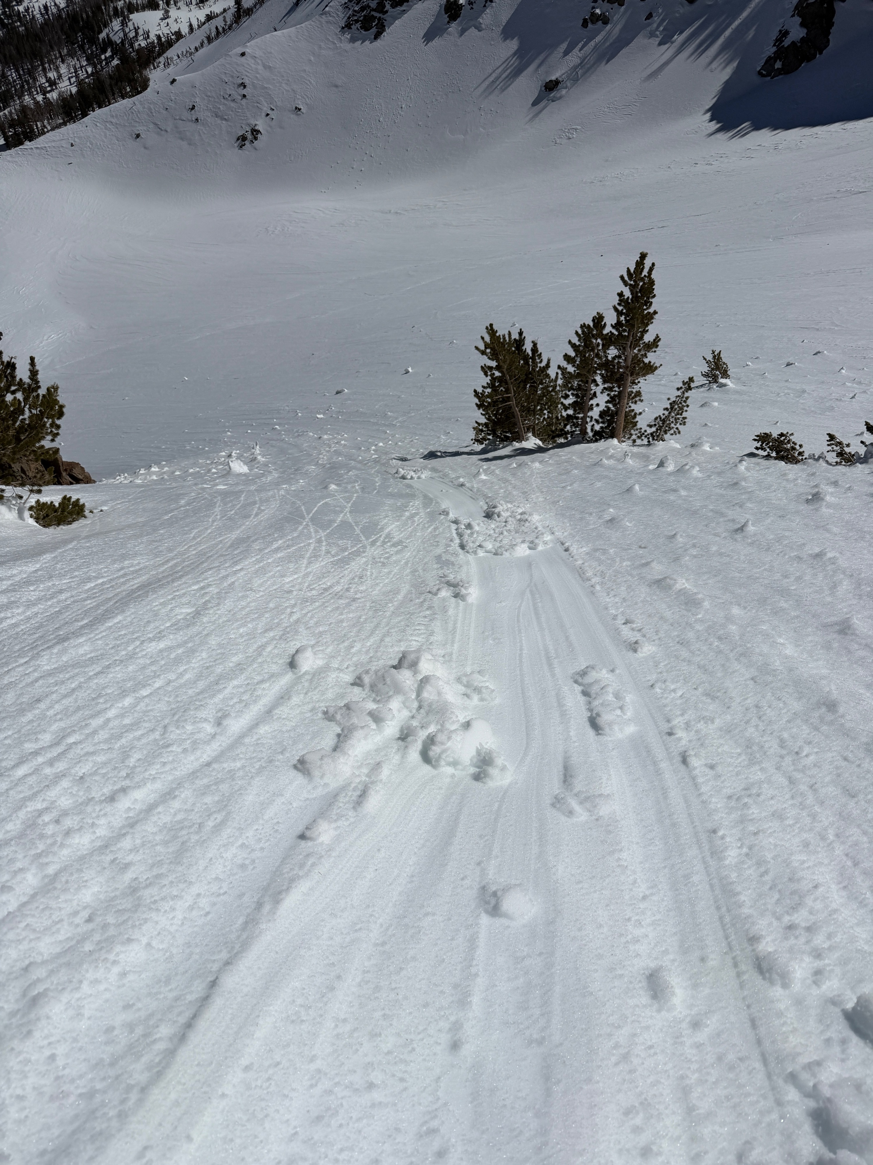
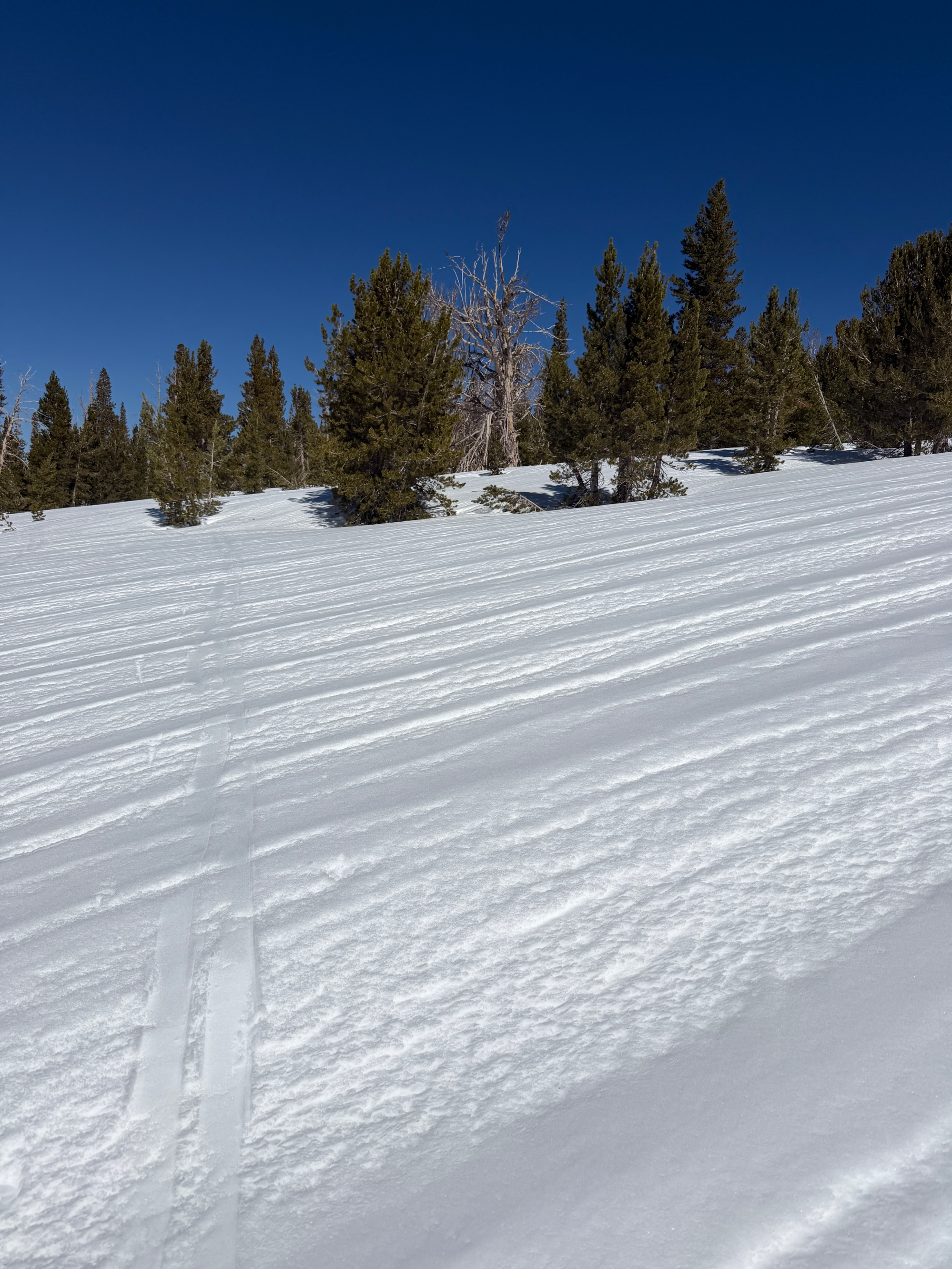
I toured out of June today to check how wet the snow was getting on solar aspects with today's warm temperatures and clear skies. I found sunny slopes beginning to soften around 10:30 am, and increasing boot penetration around noon. I descended a southeast aspect at 1:30 pm and found I was a bit late for good ski quality. While the snow was deep and wet, the surface of the slope I skied (and on many southerly slopes) has been beat down over the last 2 weeks. Wet Loose dribble arrested rather quickly on the lumpy, runneled surface. As I toured back, I found the top couple centimeters of snow to be softening and wet on all aspects at low elevations.
I poked around on northerly aspects at middle elevations and found ~30cm of refrozen melt-freeze crust/melt forms/meltwater. Similar to what we found in Lundy yesterday. The big difference in the June area is that this upper 30cm is capping small, dry rounds. The 2/10 interface is down ~70cm from the surface and is 1F.
Coverage has decreased significantly in the June area in just the last week. Hazards abound.
I found some manky, wet snow on a southeast aspect around 10500' that sluffed underfoot, but did not gain much mass.Weather
- Air Temp
- 57
- Cloud Cover
- clear
- Wind Loading
- none
- Recent Snowfall
- 0
- Snow Avail For Transport
- none
Hot day. Light northeast winds helped keep travel comfortable this morning, but as the day progressed, the winds decreased, and my afternoon was sweltering. Clear skies.