
Quick report
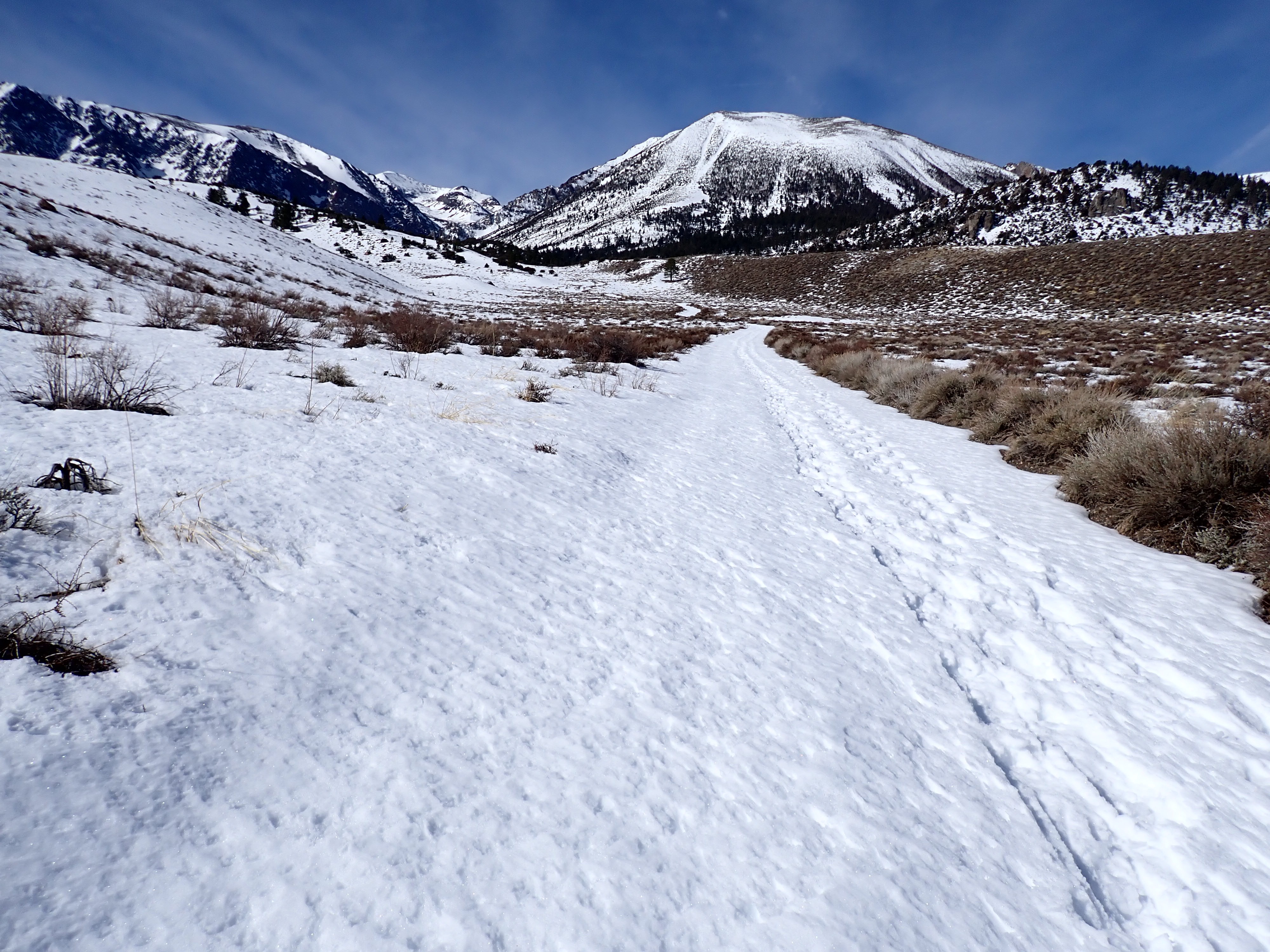
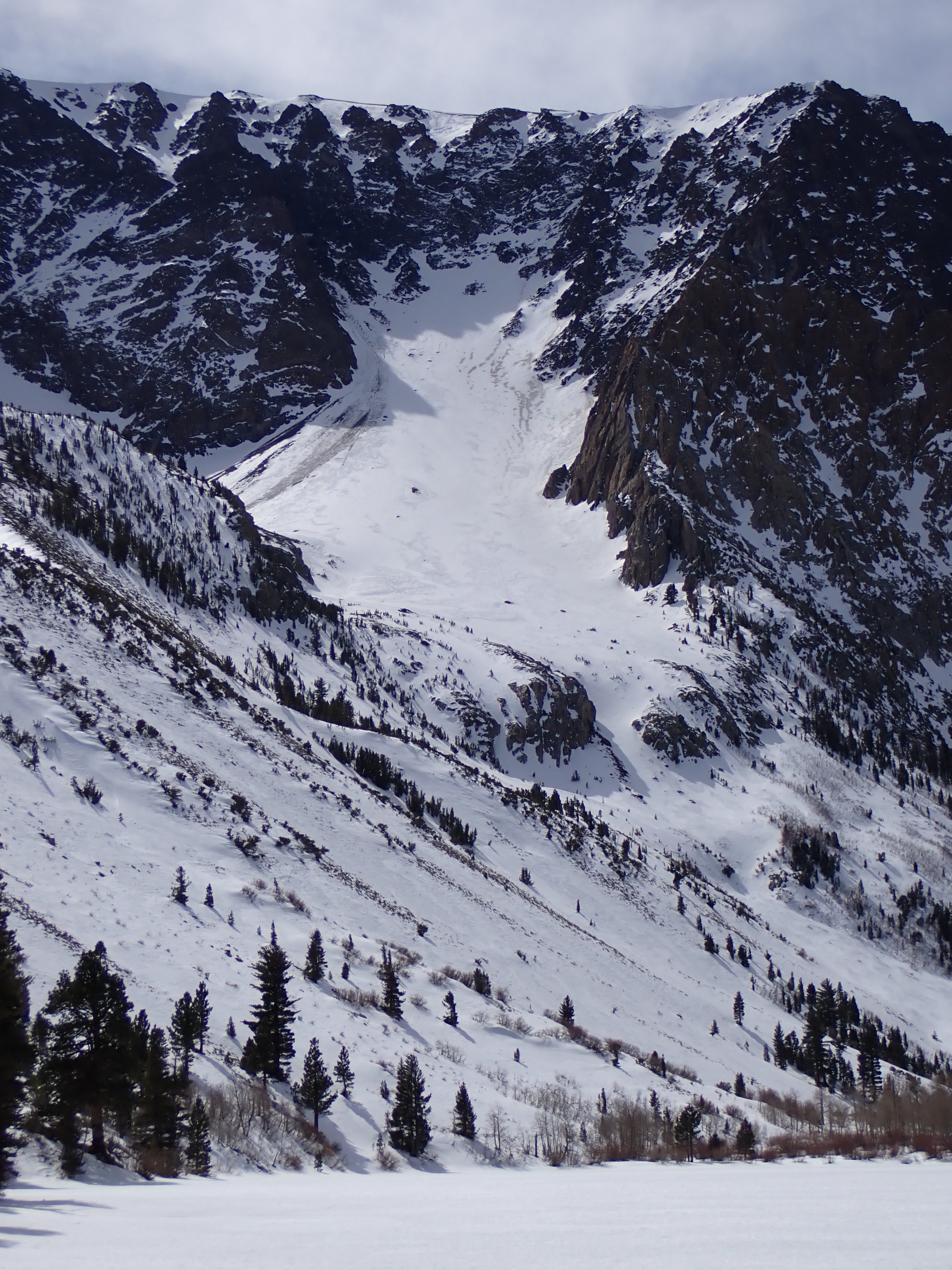
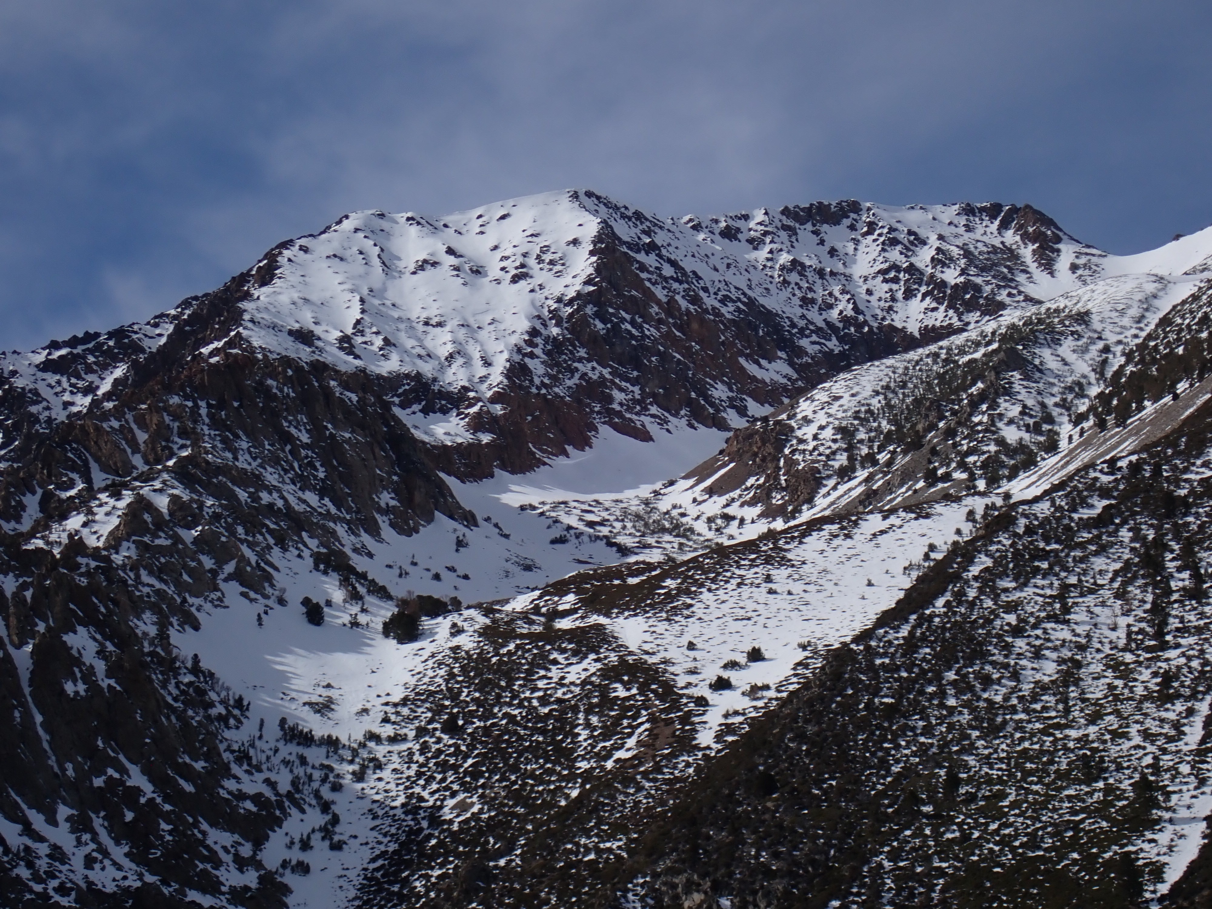
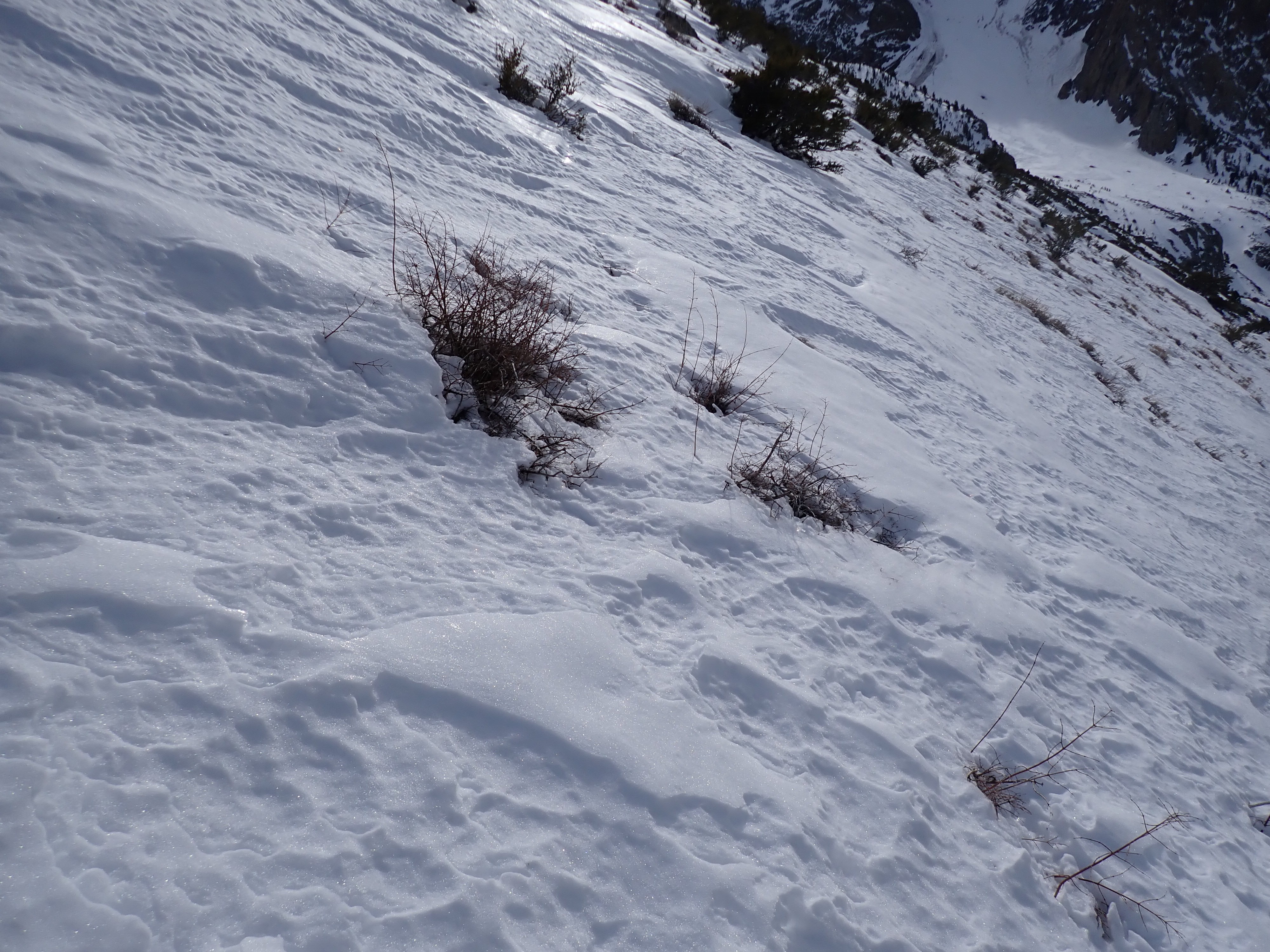
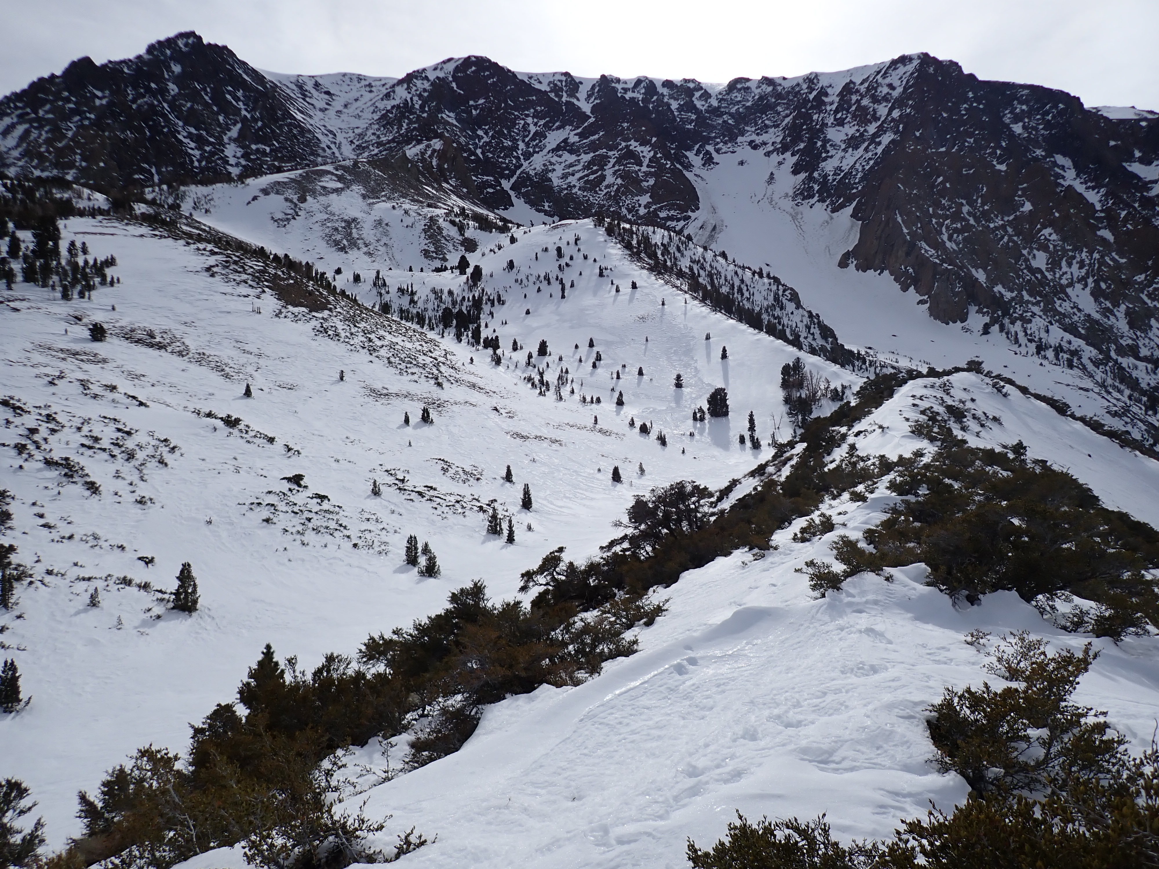
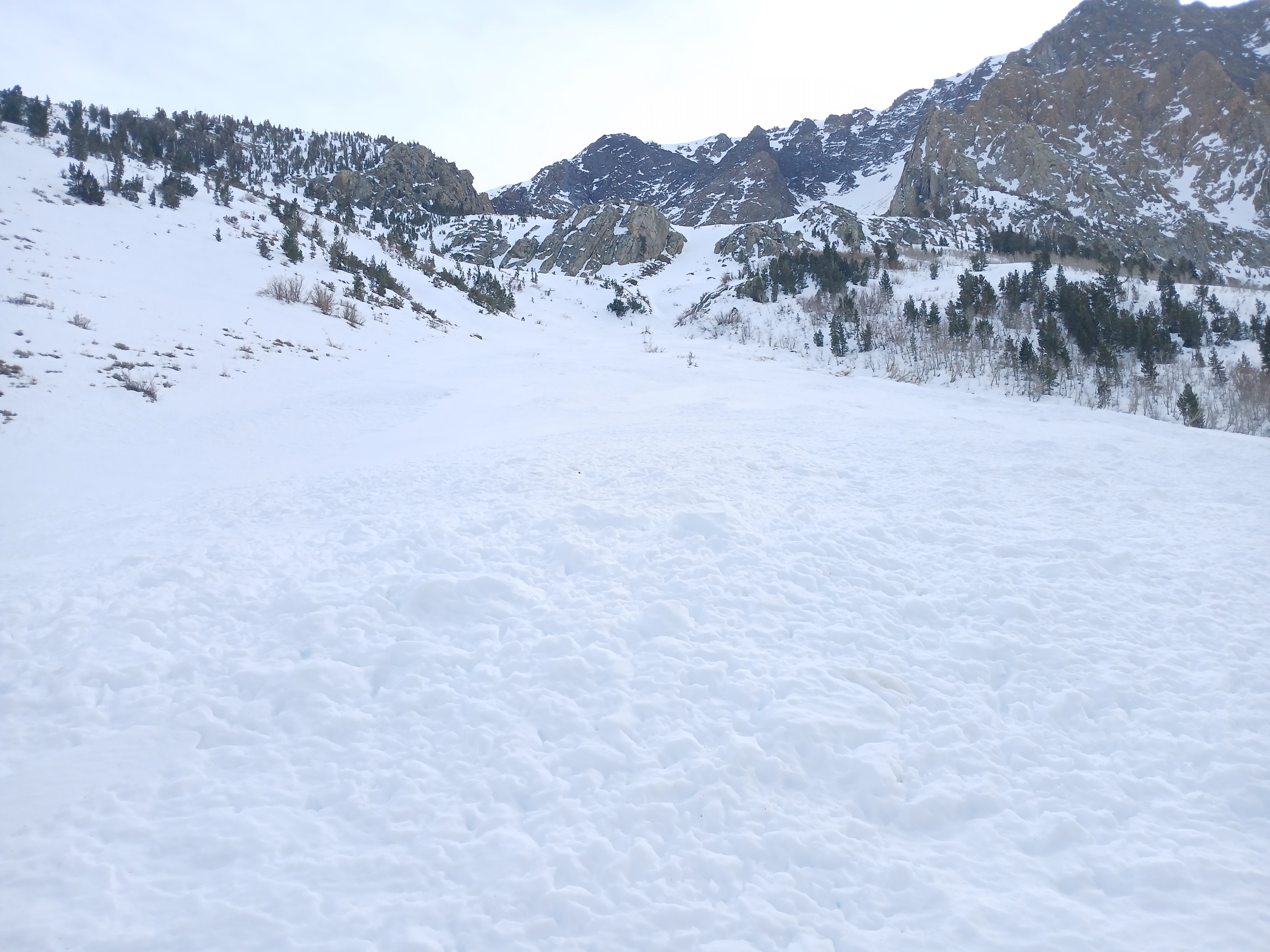
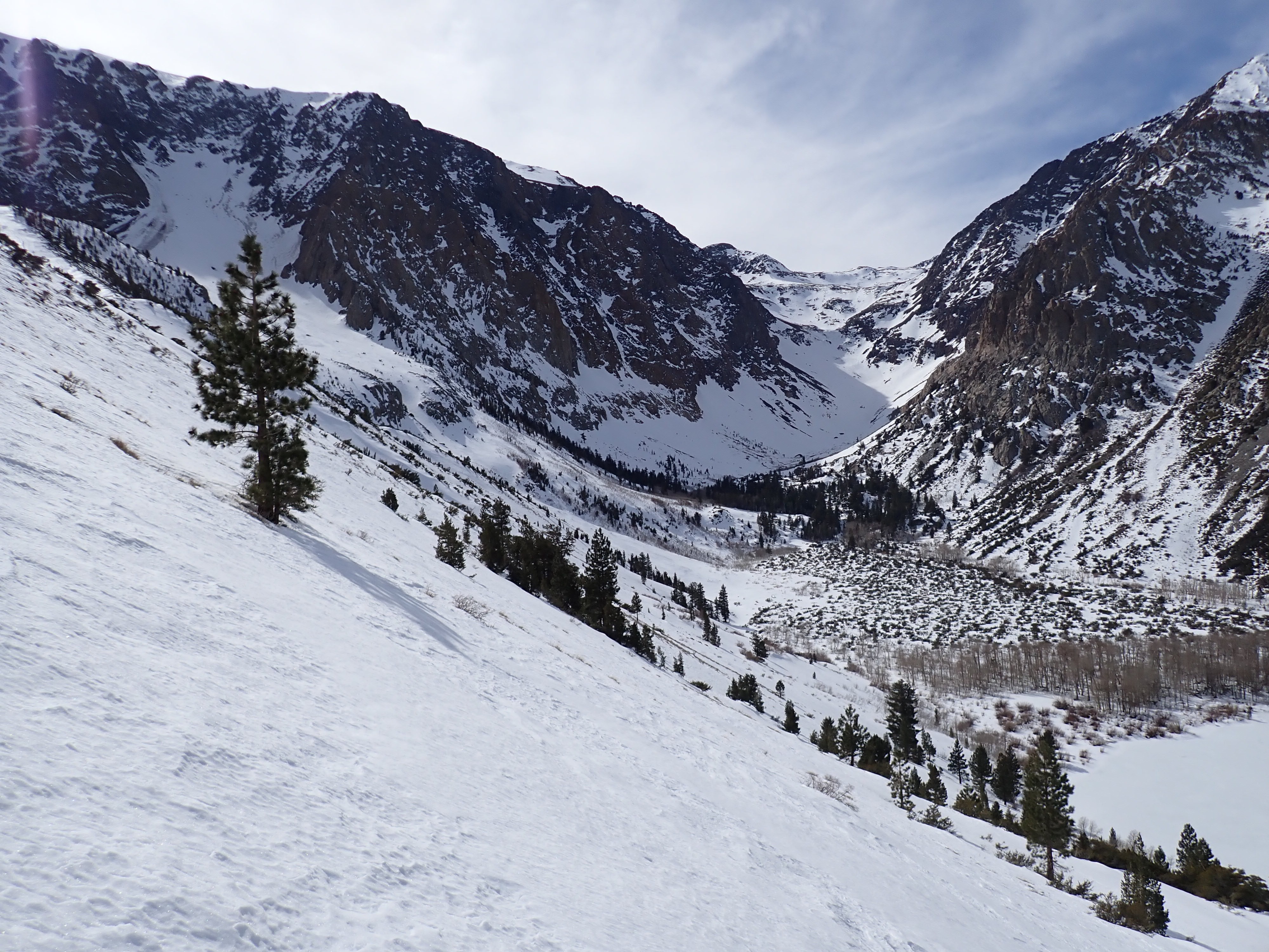
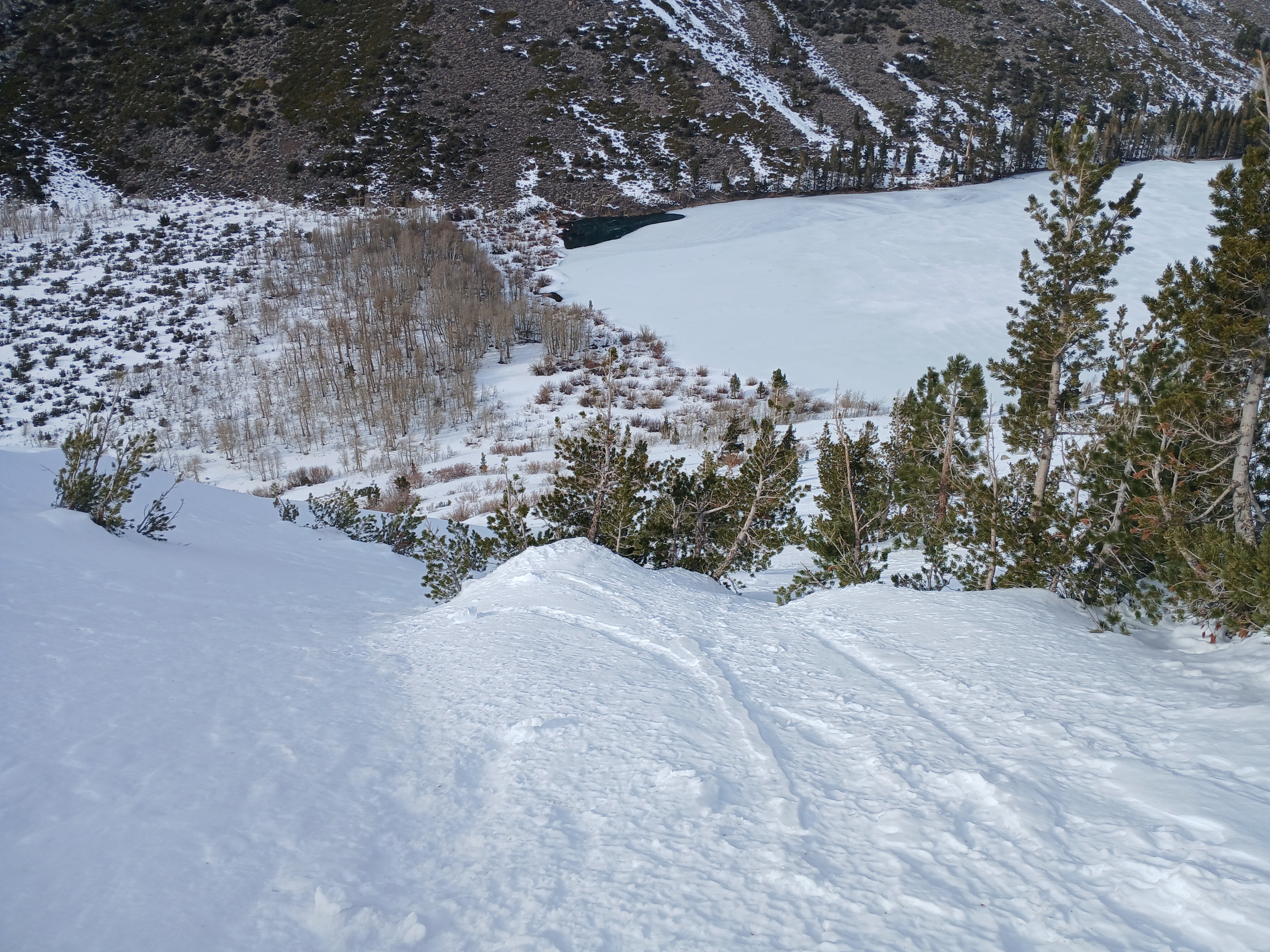
Heavy wind and sun affect! Snowpack was thin but continuous on north-facing slopes and in the trees along the trail. Solar aspects were intermittent snow and dirt at lower elevations. Wind-exposed features were showing through and were rocky. Mt Wood start zones looked hammered, either stripped by winds or avalanche activity. The aprons and couloirs held more snow. The snow I encountered today had already begun to transition under the last melt-freeze period and took the heat well. Surface and upper snowpack stayed dry on north aspects above 8400’. Lower elevations had wet surface snow but remained supportable throughout the day without noticeable glopping. The top of the low ridge had the only snow I encountered that was starting to get unconsolidated on the southeast side of the apex. Old slab avalanches from 2/14: a large D3 coming from the wide north-facing couloir on Mt Wood and a small D2 below cliffbands near the top of Mt Lewis (east gully). There was some more old debris (D1) piled up against trees below a windloaded rib I skied descending from the ridge. Couple wet loose avalanches (previously recorded) from 2/24. No fresh instability observed. Old D3 avalanche details: Ran out of the north-facing couloir skier's left of Z-couloir. Debris looked cooked and strongly worked over by wind and sun. Avy debris ran to near the wetlands on west side of Parker Lk (8440’). There are some parts of a crownline visible on the photos – estimated 10800’ above where the Z-couloir’s bowl meets the main couloir. The high start zones at the ridge look especially thin, and I suspect they were part of the avalanche as well.
Weather
- Air Temp
- warm
- Cloud Cover
- scattered
- Wind Loading
- none
- Recent Snowfall
- none
- Snow Avail For Transport
- none
Warm temperatures with overnight inversion. Snow surfaces cold in the morning. Skies began mostly clear with increasing thin clouds throughout the day. Sky was mostly covered by the time I got back to the car around 1600. Winds calm all day with occasional light gusts.
Snowpack
Low elevations (near 7500) by the car were open, low angle terrain with a different snowpack. Snowpack here was thin and had transitioned from wind affected snow to a homogenous snowpack of large melt-freeze grains. Snow was very compacted and textured, making for easy travel on supportable snow despite all the sage brush poking through it. Snow changed in quality around 8000’ when it started to gain true slopes and aspects. I found a surface melt-freeze crust everywhere (1-2 cm, aerated, soft). Snow under the surface crust was generally small rounds-rounding facets (0.3-0.5mm, 4F) with a couple soft melt-freeze crusts mixed in at some places. I found one section of the slope with a softer, very shallow snowpack (<30cm) that held larger facets that had begun the melt freeze process. Deeper spots held 110cm of snow and had smaller, rounder grains. Generally, the whole snowpack showed some degree of melt-freeze affect. I found the 2/1 rain crust everywhere except the snowpack by the car. It was thin and clear, down 10-25cm. Where I did look deeper to the ground, I found large wet melt-freeze polycrystals near the ground. This was at 8400’ NW. It would appear the depth hoar/basal facets there is also starting to transition.