
Quick report
I went out in the Lundy zone with low expectations, which proved to be the correct mindset.
My only real goal was to build a baseline impression of the coverage, surfaces and snowpack here.
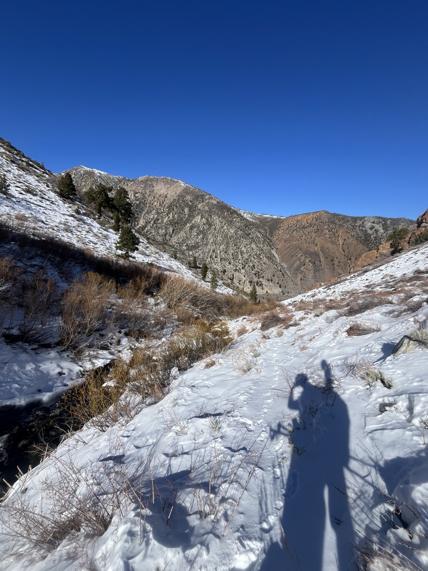
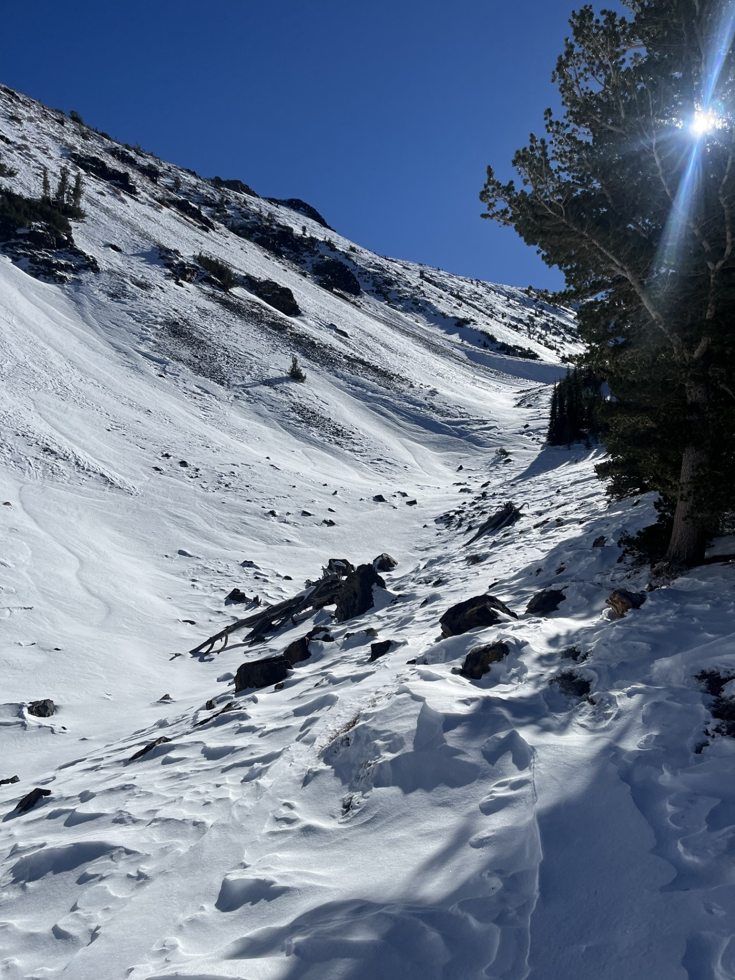
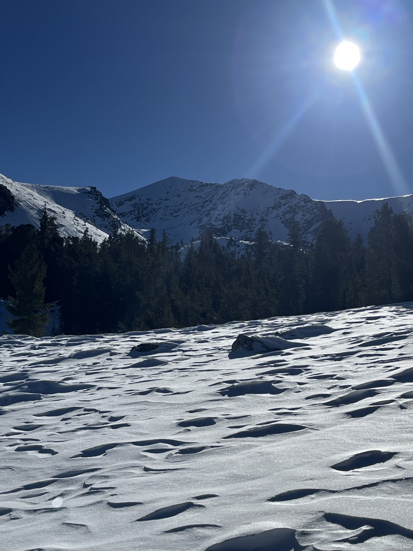
I walked in ski boots from 7800 to 8800 feet, and then was able to skin. I continued up on low-angle north slopes to 9900 feet. Snow surfaces here were about as wind-affected as anywhere that I've been thus far this season. I made an easy decision to not go any higher today.
At my high point, I dug in and confirmed the presence of the same poor snowpack structure that was responsible for a few small avalanches this past week. Here, this looked like a dense, stubborn wind slab on top of a weakening mid pack and a rain crust on the ground.
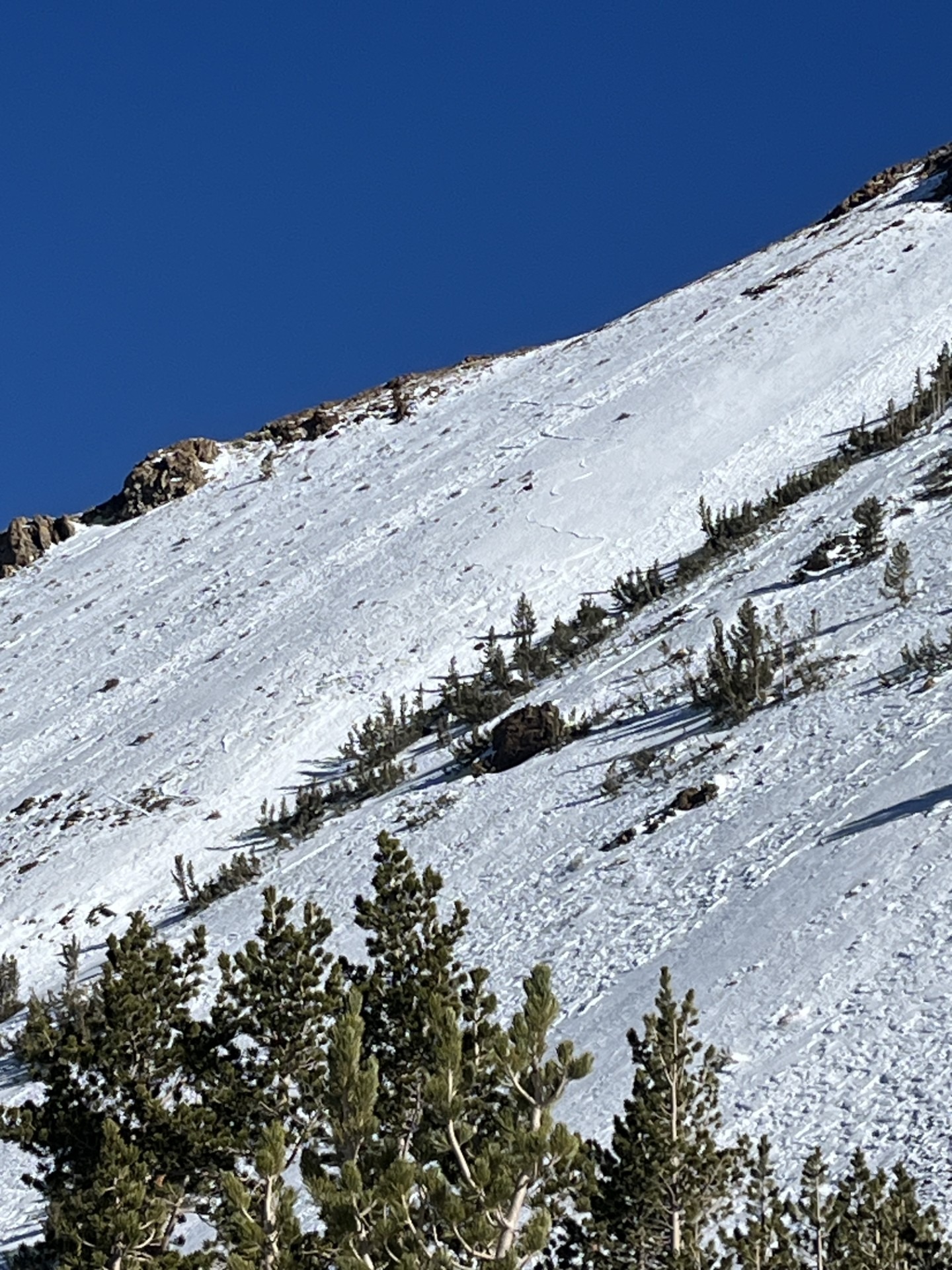
Surfaces by aspect @ 9900 feet: N - dense wind board and exfoliated shallow sugar, E - ditto, S - almost completely dry, W - scoured down to rain crust
Weather
- Air Temp
- 40
- Cloud Cover
- few
- Wind Loading
- previous
- Recent Snowfall
- None
- Snow Avail For Transport
- none
Calm, mostly clear and above freezing.
Snowpack
- Snow depth ranged from 0 to 24 inches, and was heavily scoured or drifted depending on subtle terrain changes.
- Surfaces here are possibly the most wind-affected of any zone I've visited this season.
- Subsurface snow is consistent with other recent observations - dense wind deposited snow on top of a weak and faceting mid pack. Above 9000 feet or so, there is a decomposing rain crust near the ground. In many places, this crust has been exposed by strong winds.