
Quick report
- Aspect
- Northwest
- Red Flags
- Recent Avalanches, Heavy Snowfall, Wind Loading
- Elevation
- 2835 m
- Red Flags Comment
- <p>Lots of signs of red flags relating to the new storm snow and wind-loaded areas. I stuck to low angle slopes under 30 degrees.</p>
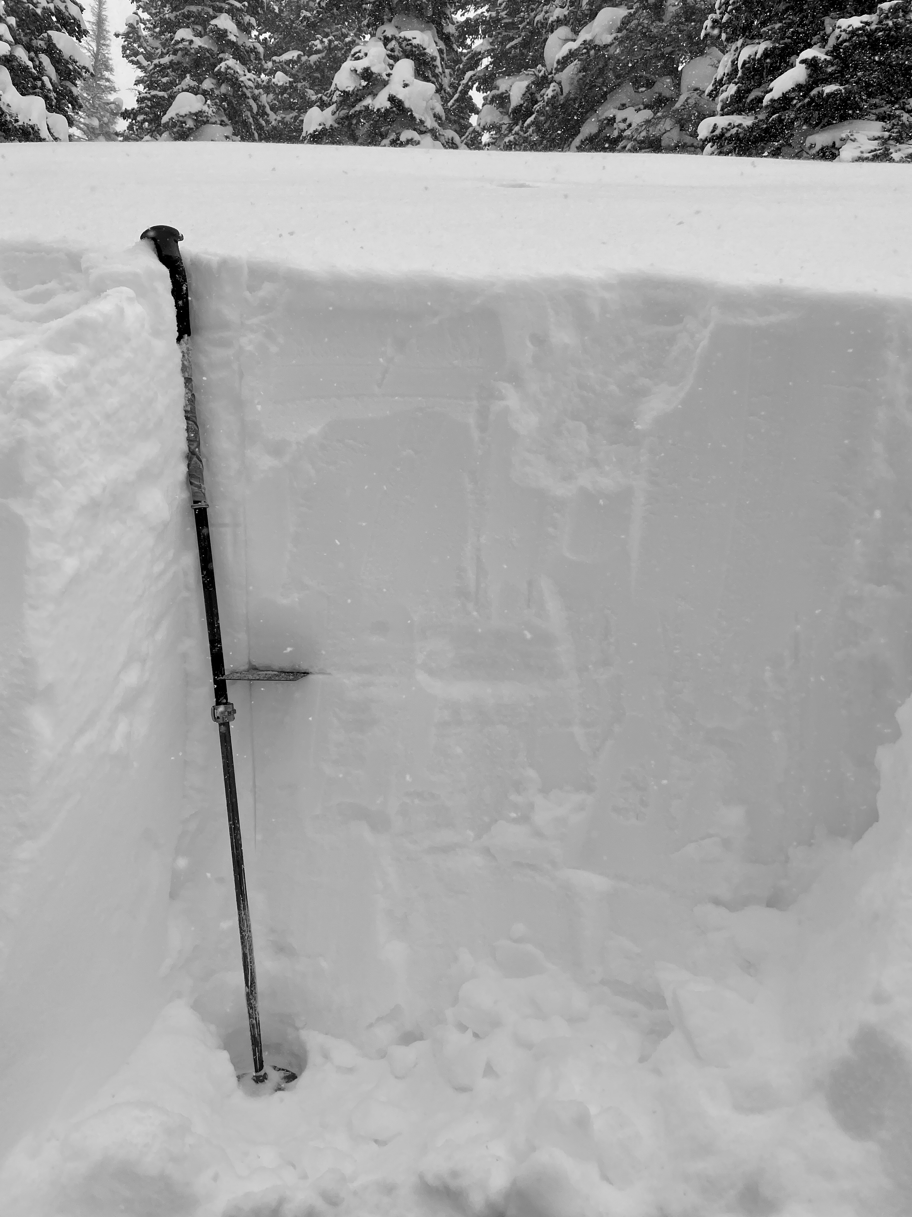
Height of snow was over 400cm. Pit dug on a northwest facing slope at 9360'. No propagation with extended column tests (ECTX). There were 2 failures with in the top 2' of the snowpack that will most likely settle out with time.
There was a fracture with a shovel shear test on the layer 24" down (crystal card marking layer) and I observed some crystals with hard edges that looked like broken stellar crystals at this old/new interface.
ECTN 17 @ 1'
ECTN 21 @ 2'
Snowpack
- Instability Comment
- <p>With increasing winds I would expect this problem to continue. Any places that are getting wind-loaded are suspect. </p> <p> </p> <p> Photo of cornice above Home Run</p>
It was snowing 1-2" an hour and winds were transporting snow from the west to the easterly facing slopes. Sensitive new snow cornices along the Twin Lakes Pass Ridgeline going up towards Home Run. I only saw new snow dry loose avalanches and did not see any propagation in the new snow. I would guess steeper areas with more wind-loading would be suspect.
Photo of dry loose avalanches north facing Patsy at 9900'. These ran naturally during a period of 2" an hour snowfall rates.