
Quick report
- Cracking
- widespread
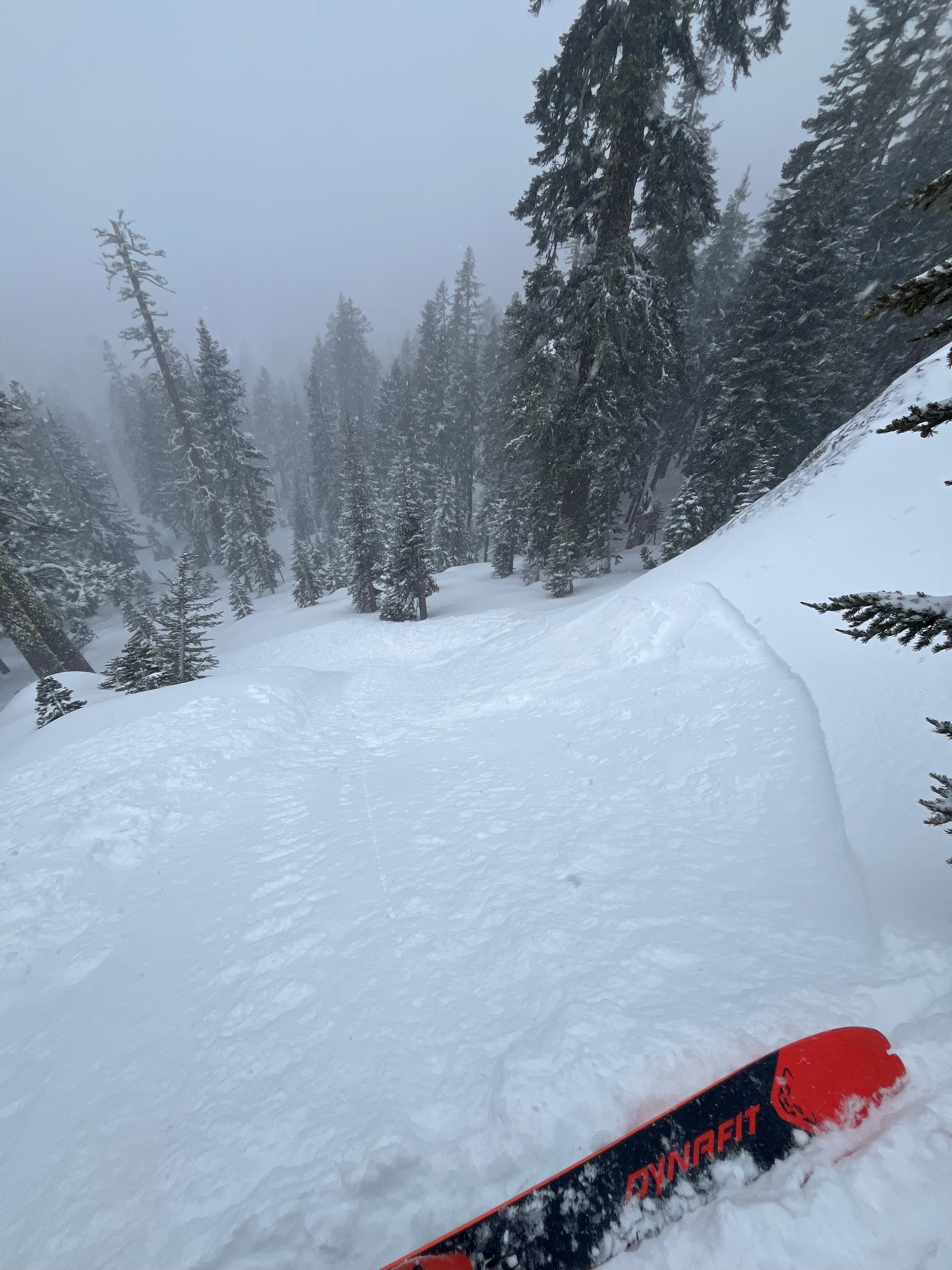
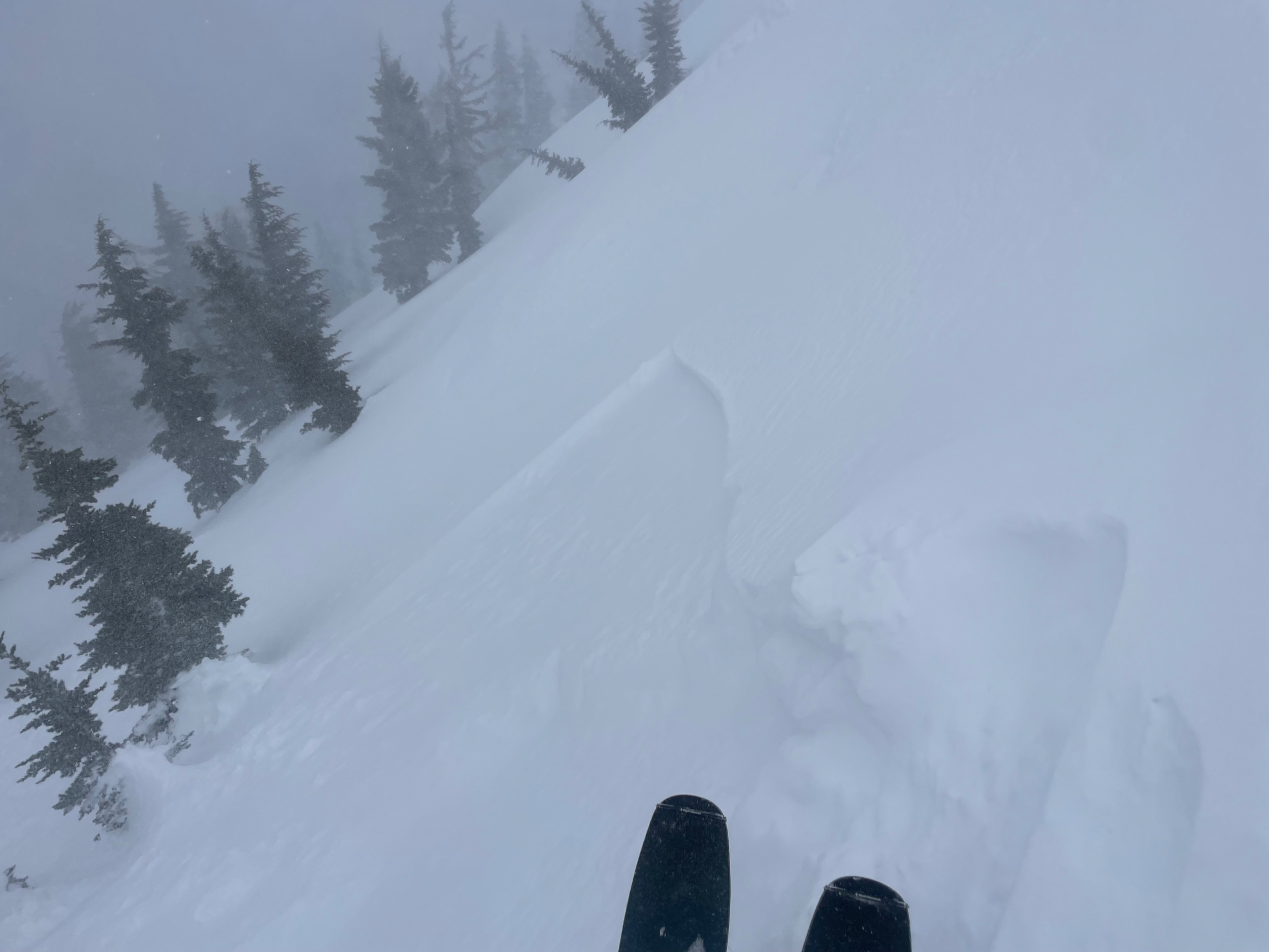
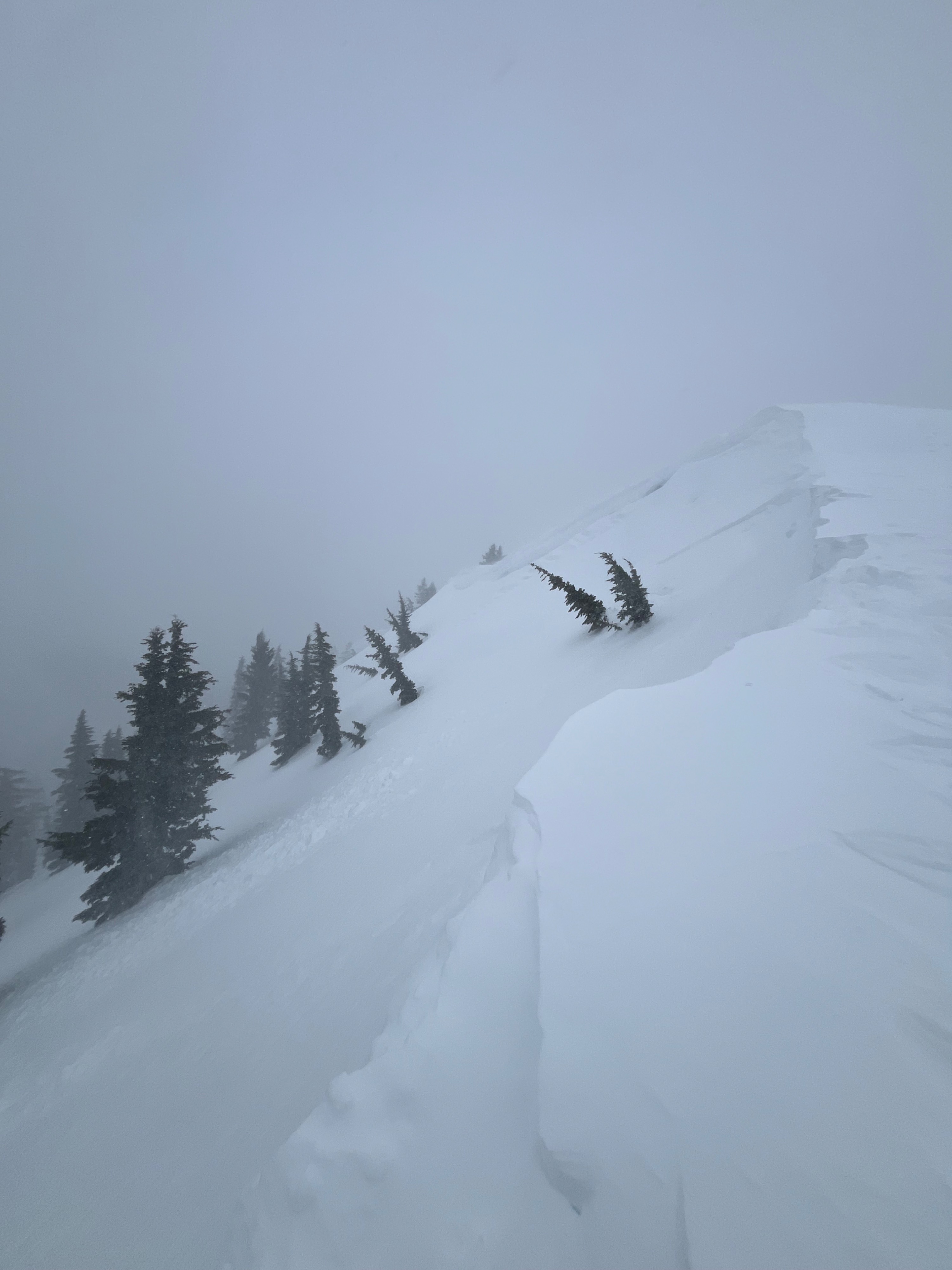
Forecasters returned to Gray Butte today to see how the new snow is bonding to the variable bed surfaces. We observed six to eight inches of new snow below and near the treeline. On leeward aspects and in catchment areas, we found drifted snow to measure up to one foot deep. Regardless of the aspect or elevation, the new snow is bonding poorly to the old snow. Most of the new snow in the past 12 hours is currently in a loose, unconsolidated state. Though this won't last long as additional accumulations of snow and moderate wind continue to press the fresh powder into a denser, more consolidated slab. As this slab sets up and grows larger, it will be capable of transmitting more energy through snowpack and across the slope. This means an increased likelihood of triggering large avalanches that can spread wide across the slope. Keep an eye out for shooting cracks and be especially wary of wind loaded terrain (NW/N/NE/E aspects) where slabs will be the largest.
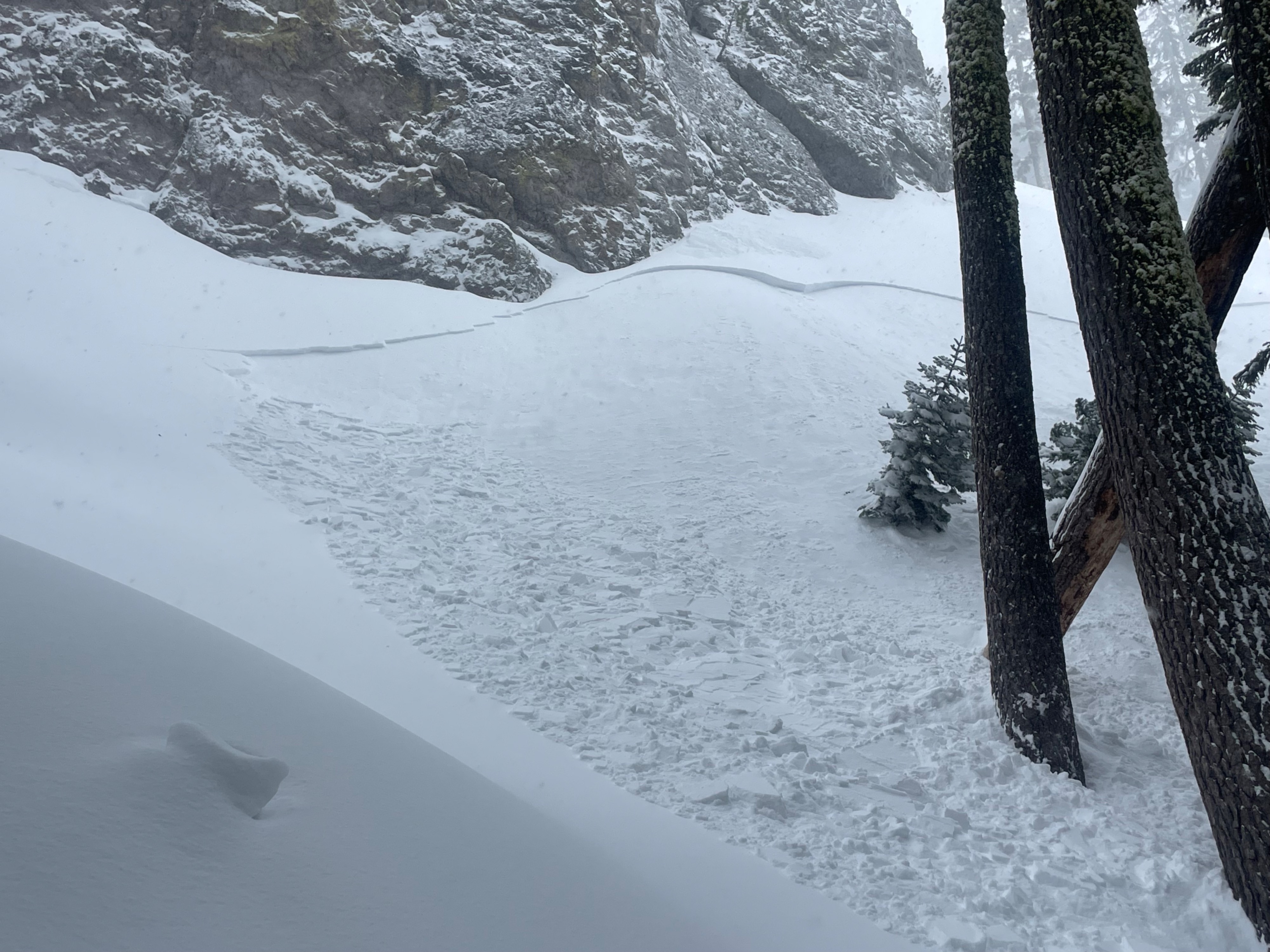
We triggered multiple small (D1) avalanches on test slopes below and near the treeline. Cracking was widespread throughout all elevations and aspects traveled, but more common in wind loaded terrain.Weather
- Air Temp
- 22
- Cloud Cover
- obscured
- Wind Loading
- intense
- Rain Elevation
- 3,000
- Recent Snowfall
- 20
- Snow Avail For Transport
- moderate amounts
Snowfall obscured the sky, falling at a rate of one to two inches per hour. Wind blew out of the WSW at moderate speeds with the occasional strong gust. Temperatures held steady in the low 20s.
Avalanche
We triggered multiple small (D1) avalanches on NE, N, and NW test slopes below and near the treeline. All occurred on leeward aspects or in tight pockets of terrain that captured more snowfall. The avalanches averaged 30 feet wide and ran no more than 100 feet down the slope.