
Quick report
- Cracking
- specific
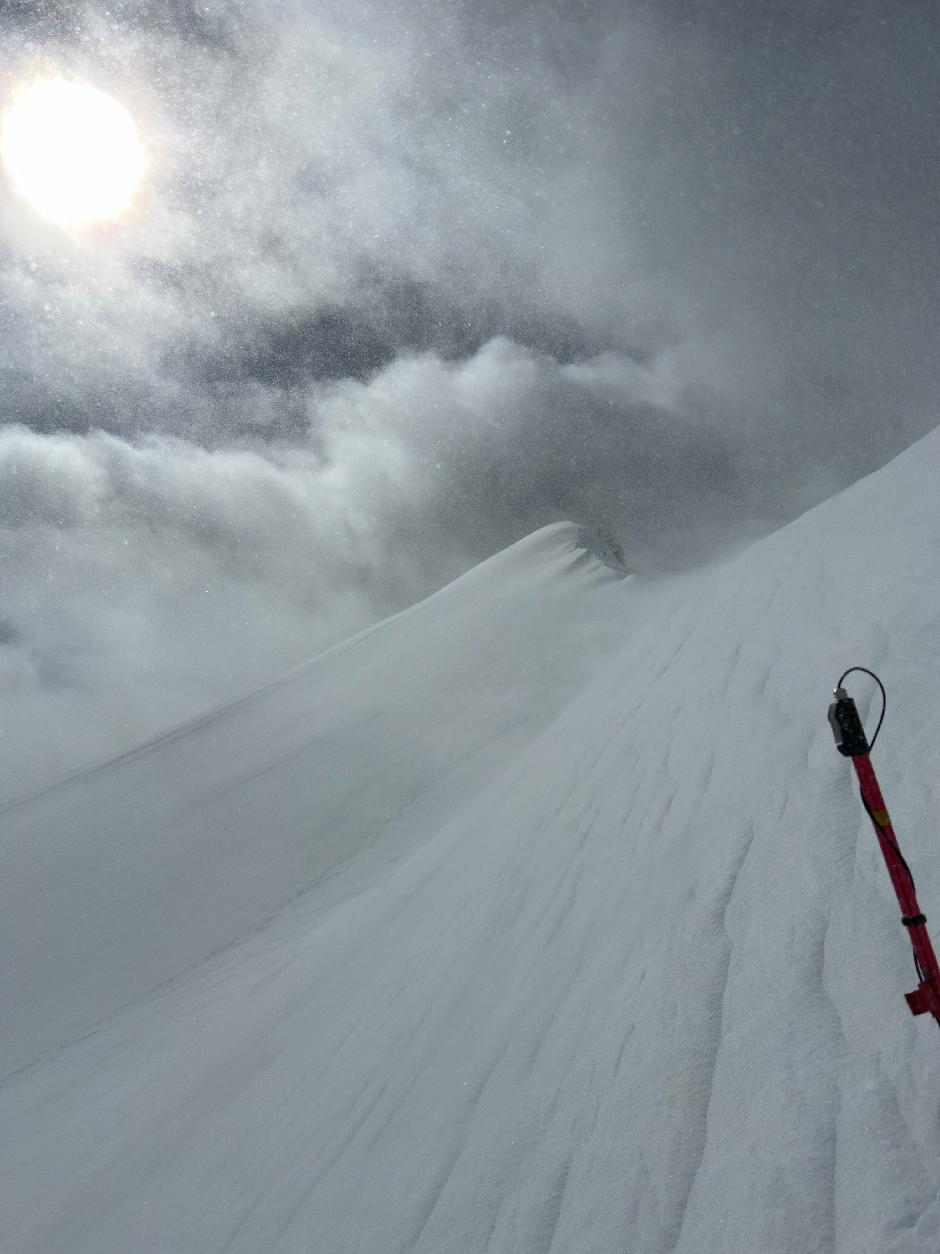
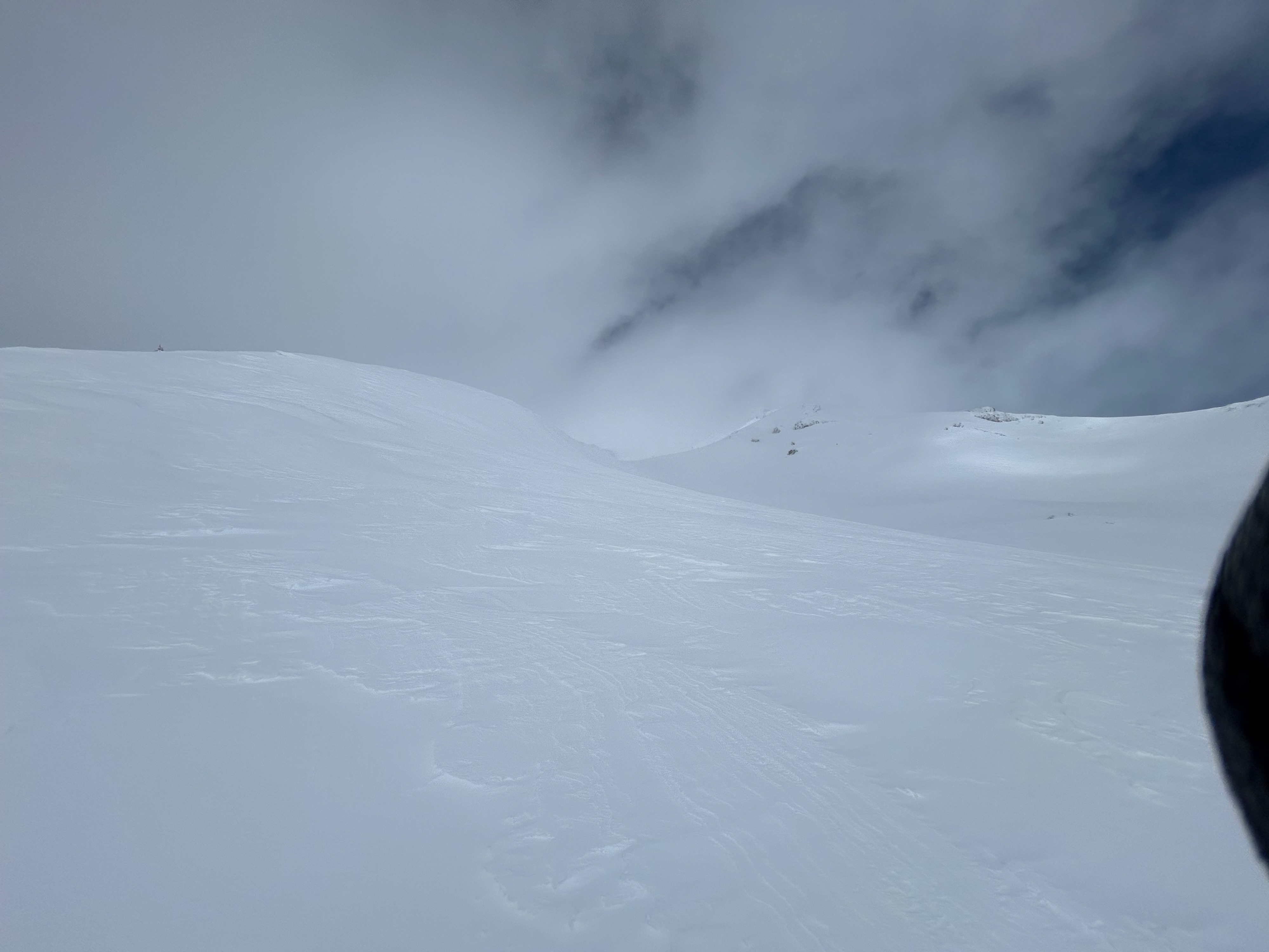
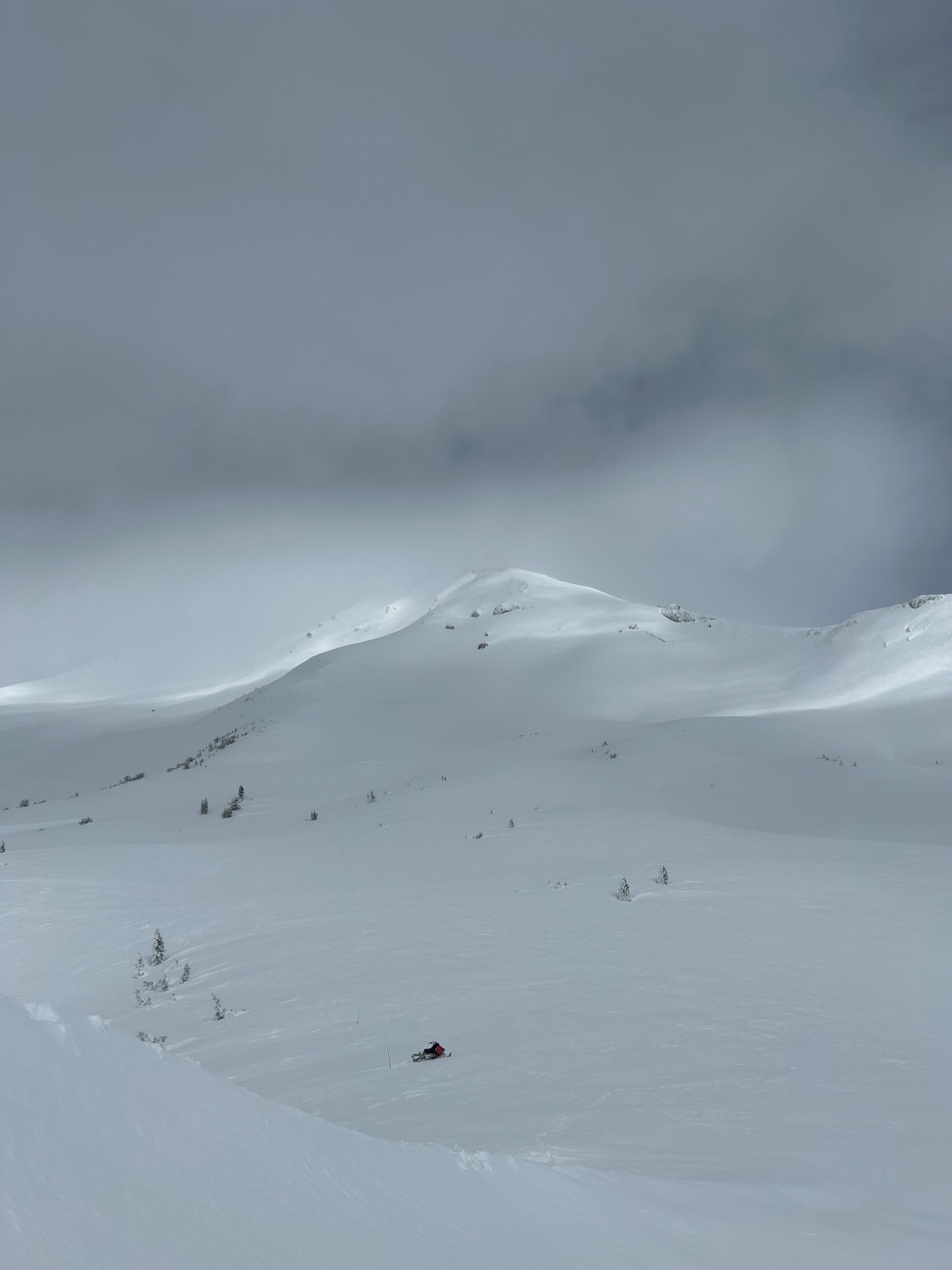
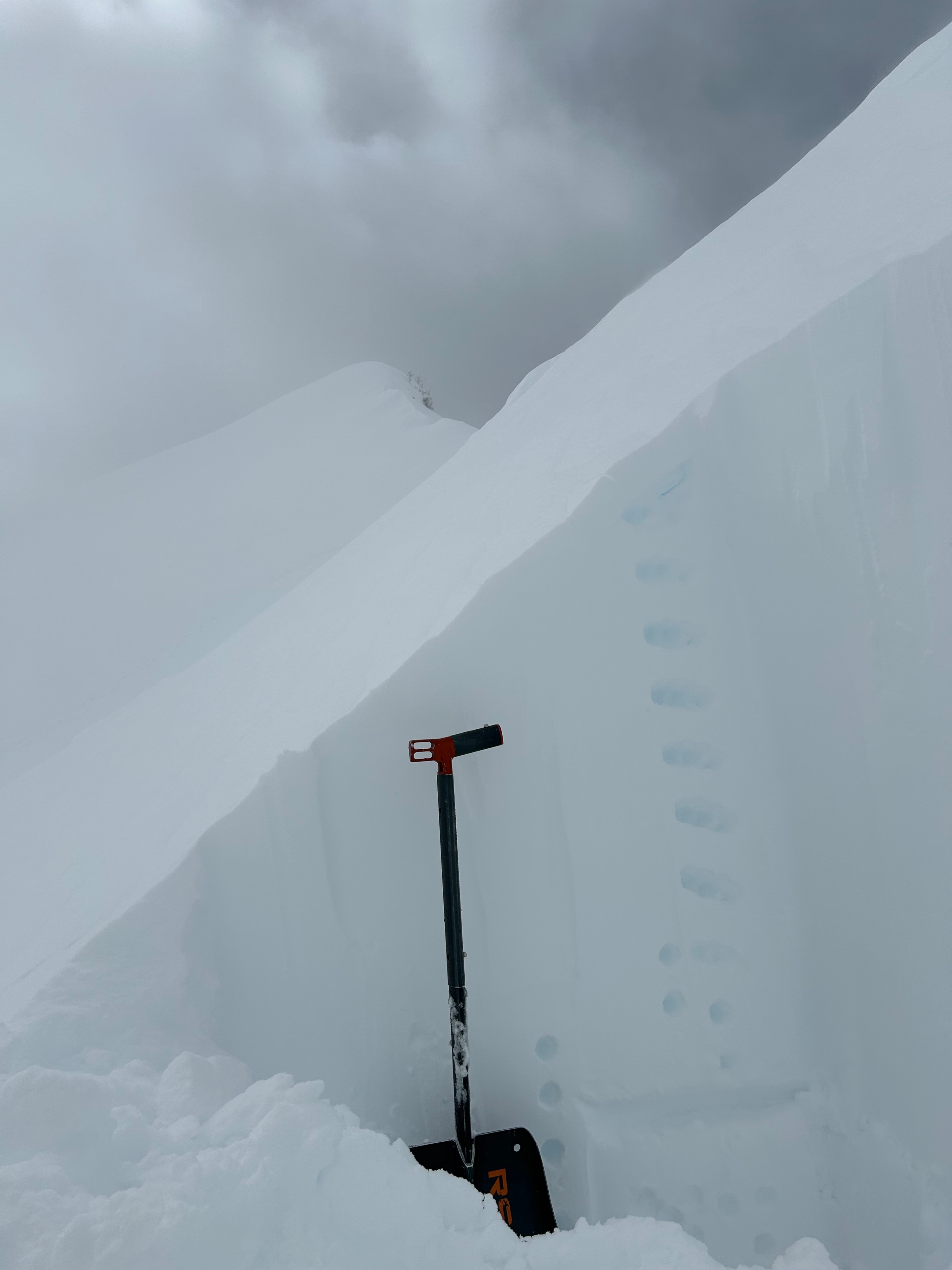
The five inches of snow that fell overnight is bonding well below treeline. Near and above treeline, in exposed areas, the dry snow made for easy wind transport, and moderate amounts of blowing snow was observed. Wind drifts were seen forming on leeward east and north aspects beneath ridgelines and rock outcroppings, which displayed small cracking under foot. Large wind lips and cornices were spotted along leeward ridgelines. Otherwise, no other signs of instability were observed. Due to poor visibility, the upper mountain was only observed for a brief period.
Small cracking within freshly drifted snow along ridgelinesWeather
- Air Temp
- 28
- Cloud Cover
- broken
- Wind Loading
- moderate
- Recent Snowfall
- 12
- Snow Avail For Transport
- moderate amounts
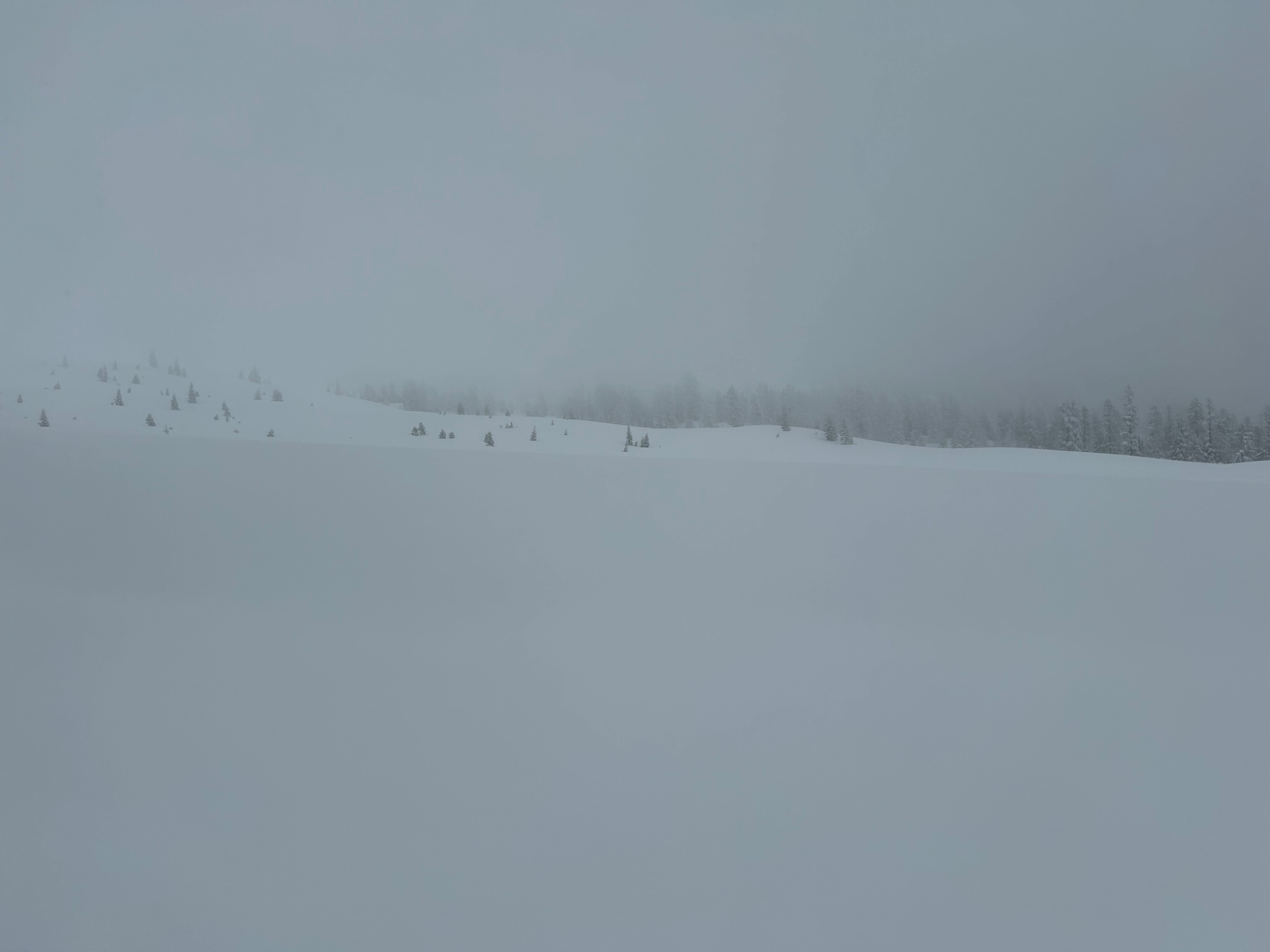
Over the course of the day, the weather took a turn from partially clear to mostly cloudy with flurries of snow. A west wind blew at moderate to strong speed near treeline. Temperatures crept to near freezing levels, with a high of 30 degrees. Visibility trended from good to poor.
Snowpack
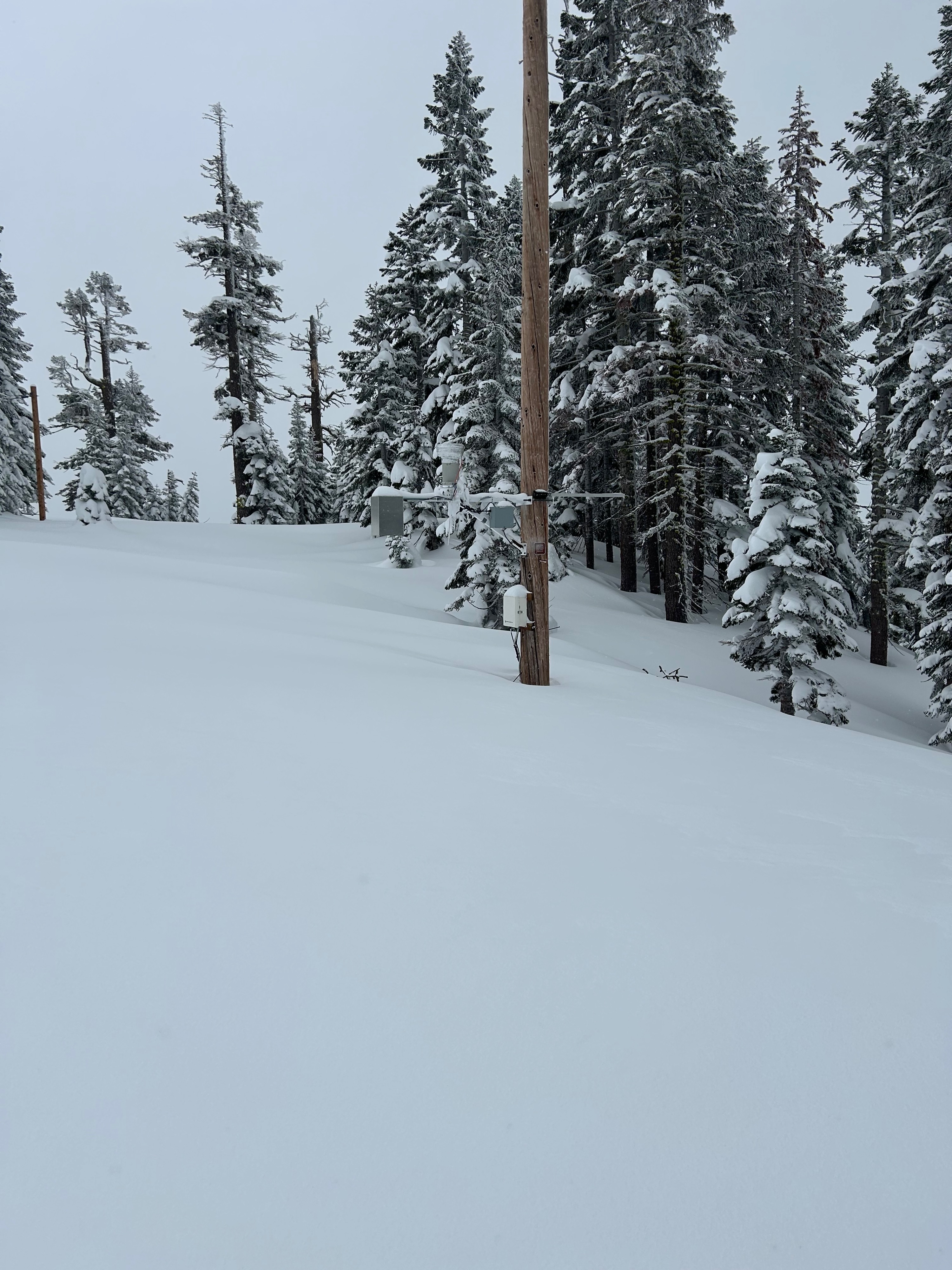
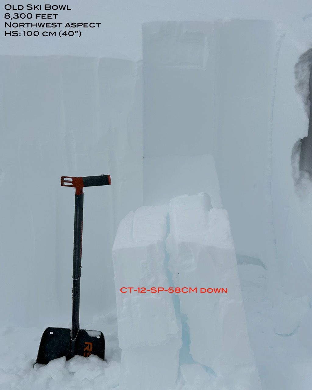
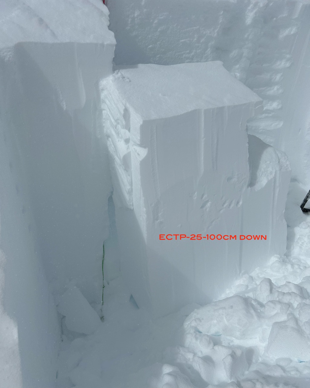
Over the last three days, the snowpack has received over five inches of new snow, with 0.83 of SWE. Surface conditions remain soft and smooth for the most part. Areas more wind exposed display further signs of wind texture and wind effect. No surface crusts were observed. A Compression test conducted on a wind loaded northwest aspect highlighted a reactive interface 58 cm (23”) down that held sudden planner sheer quality. However, propagation was unachievable, suggesting a stubborn sensitivity.