
Quick report
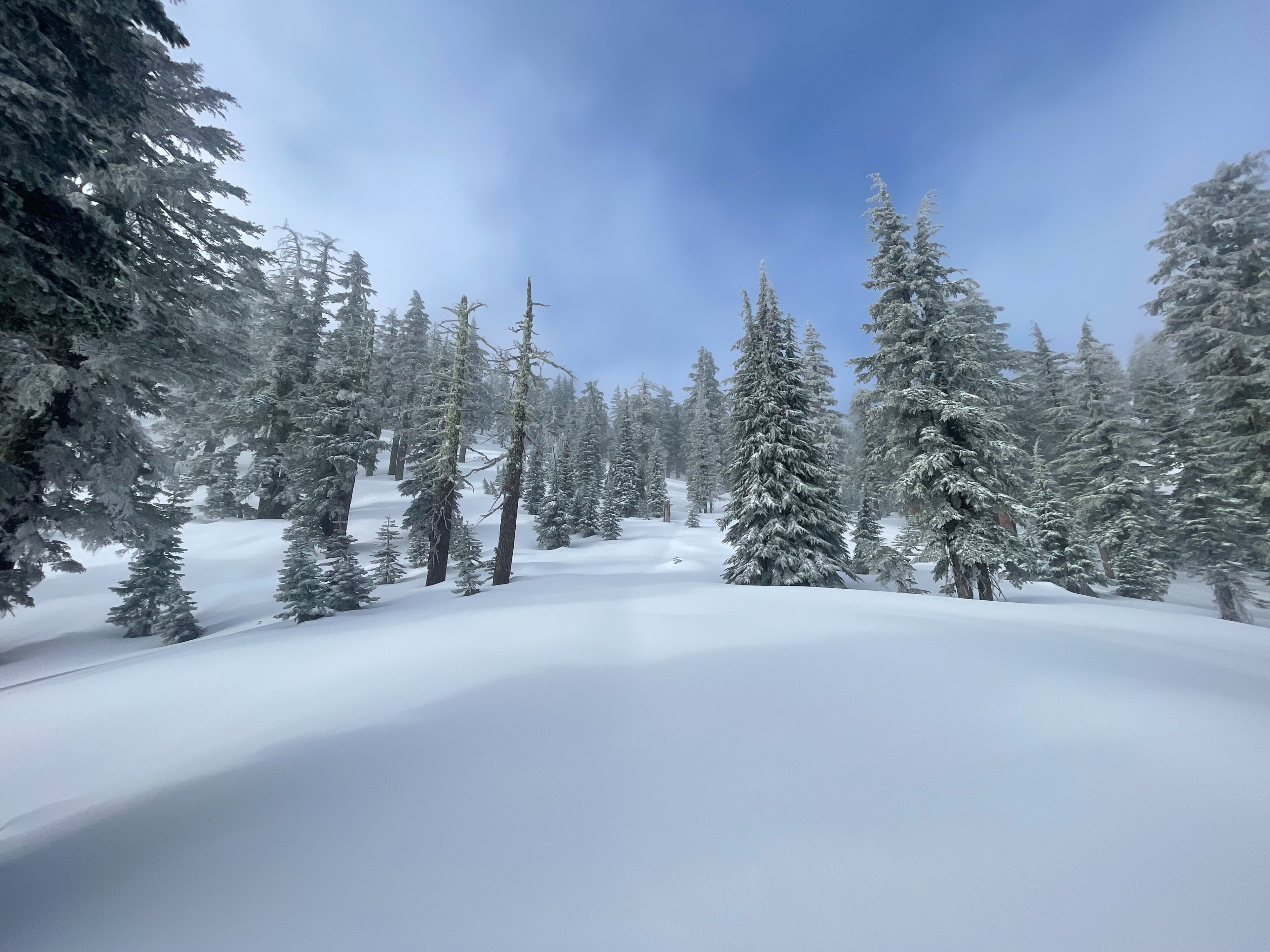
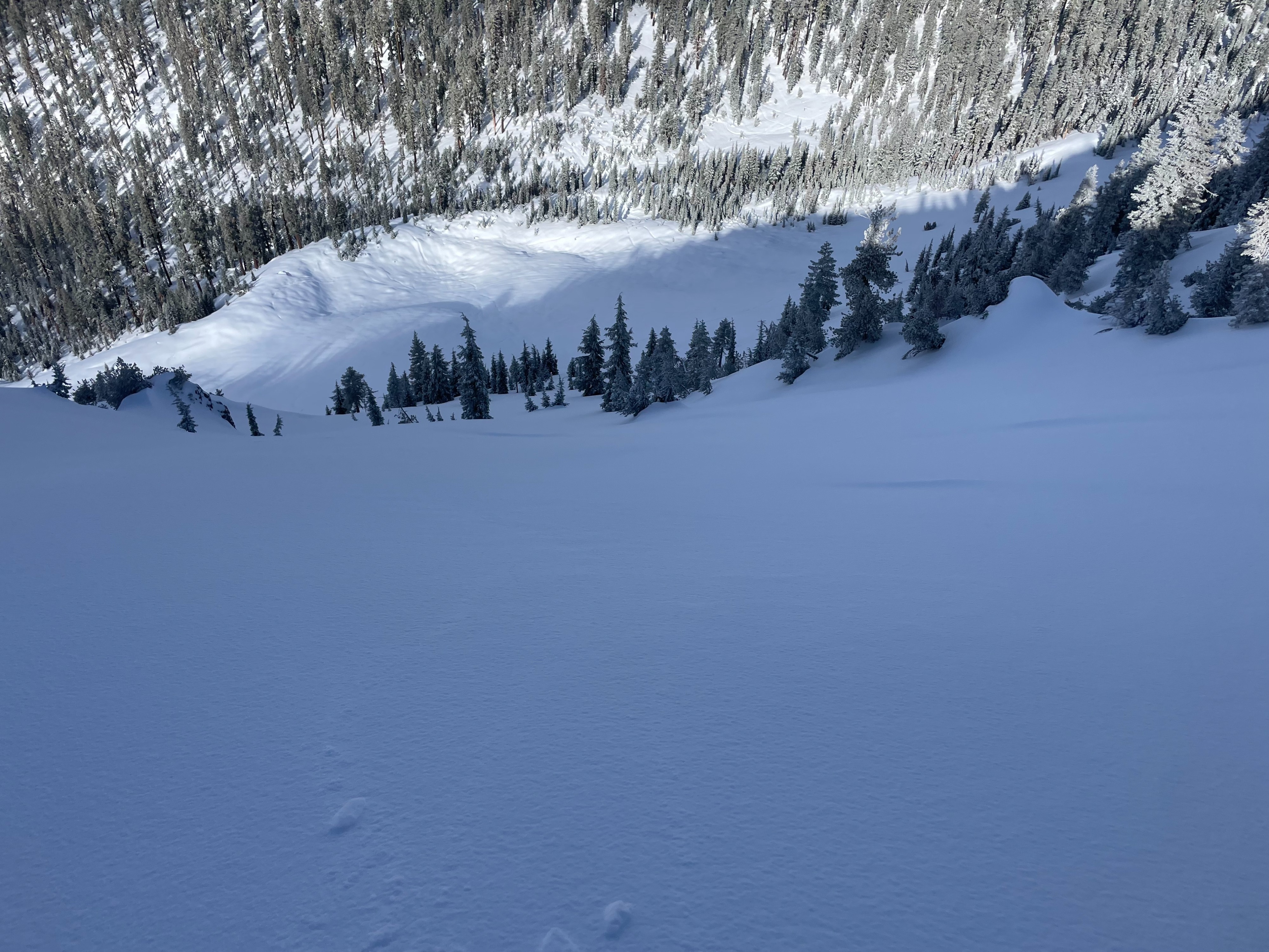
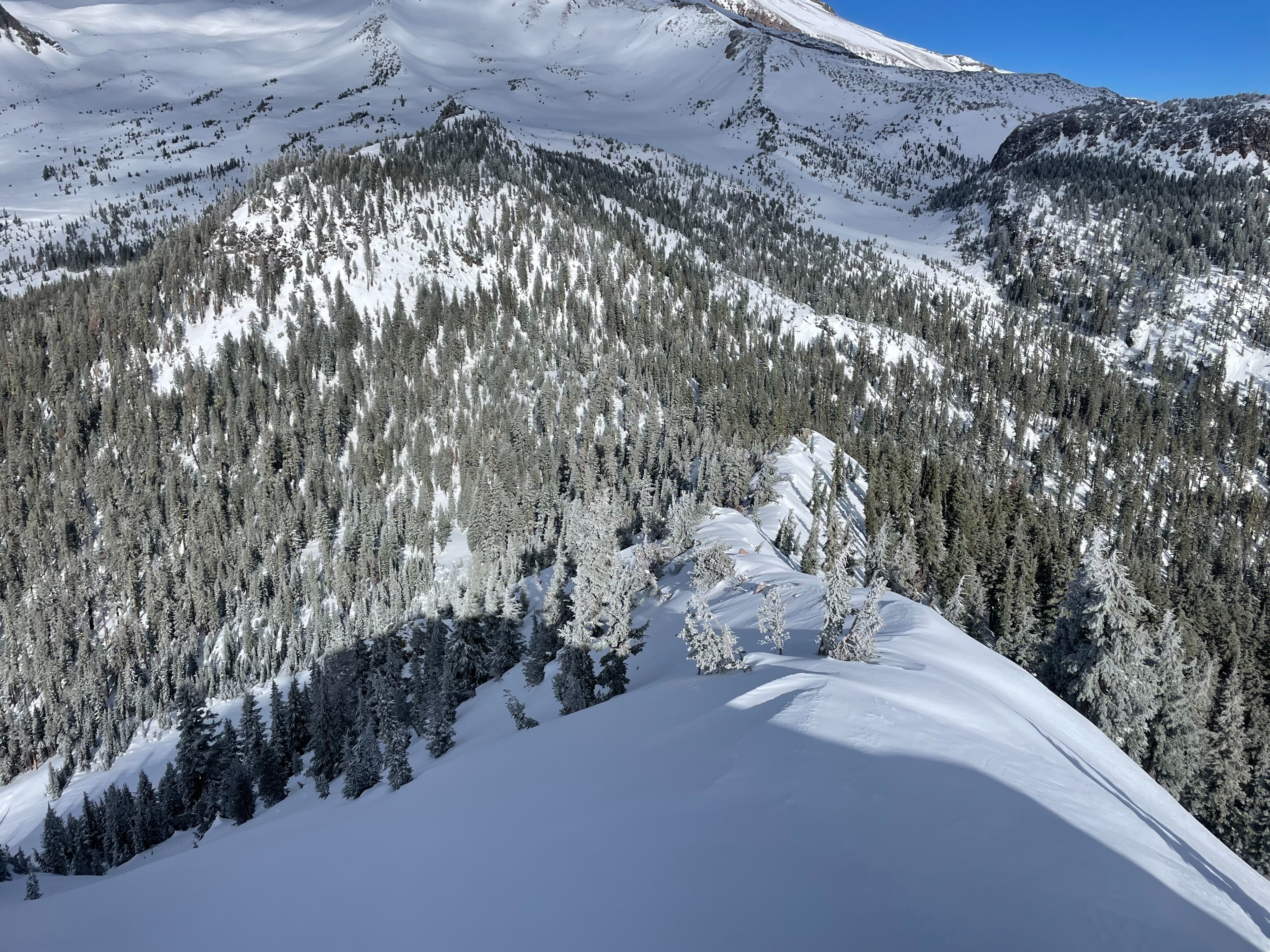
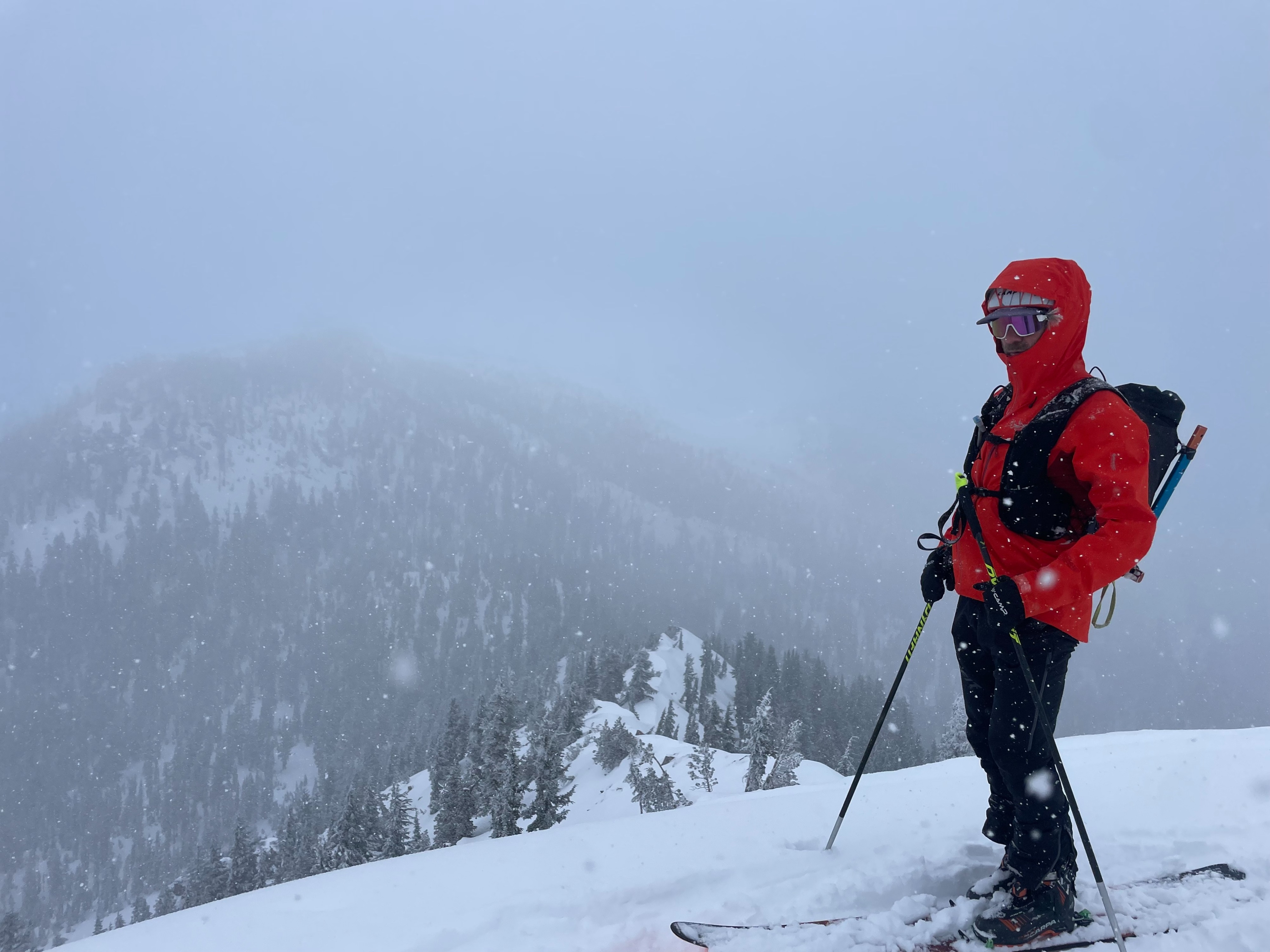
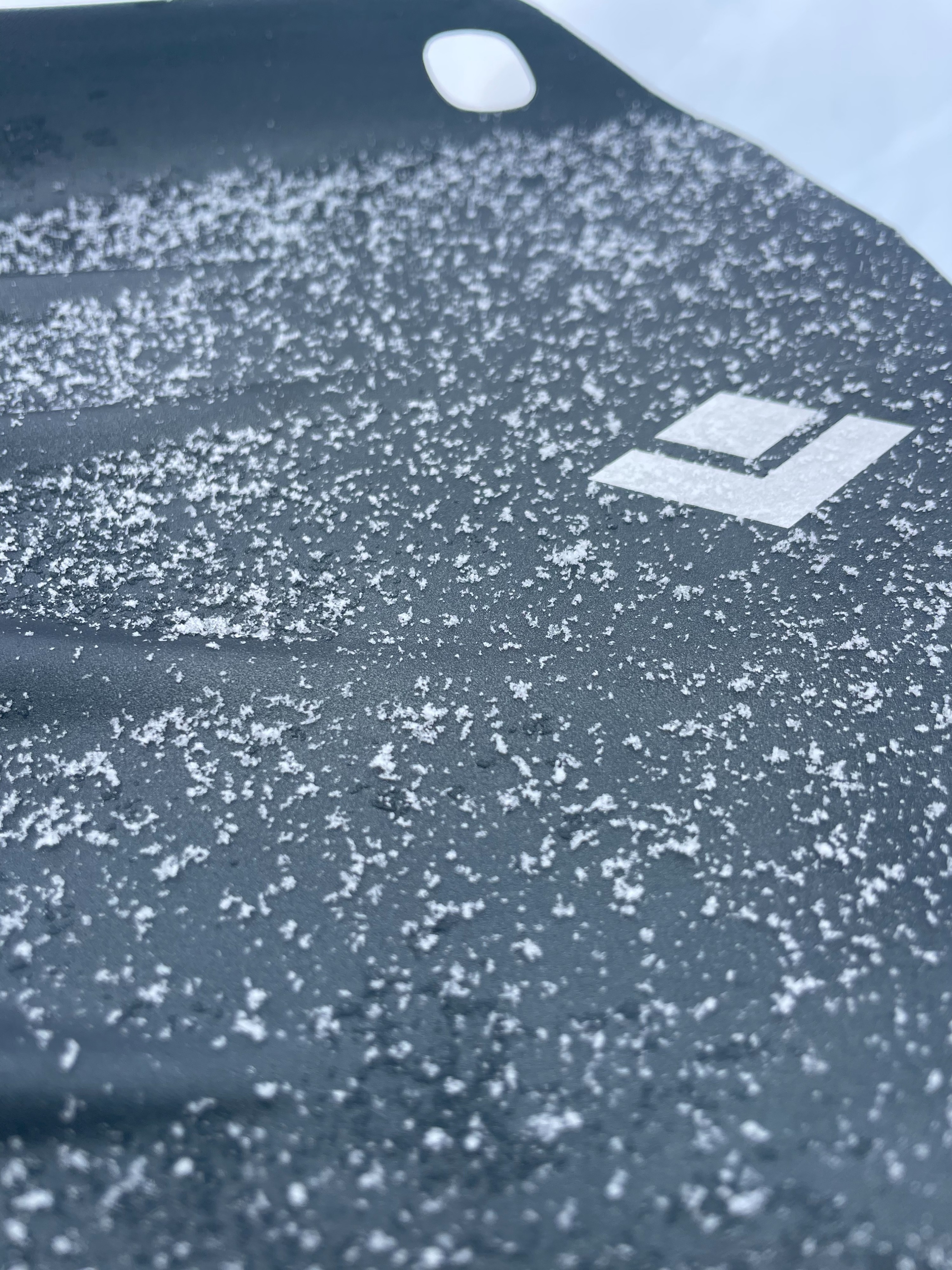
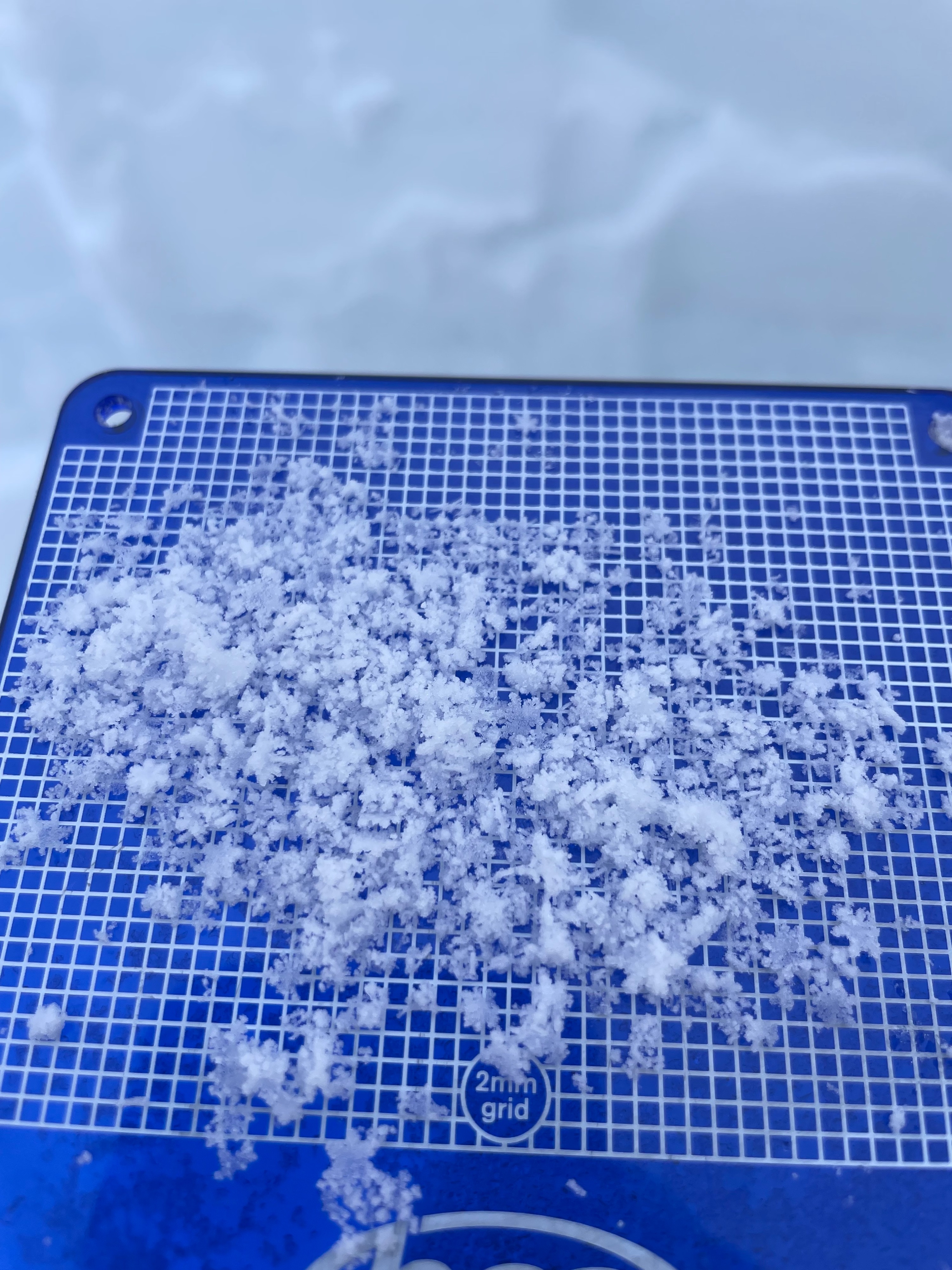
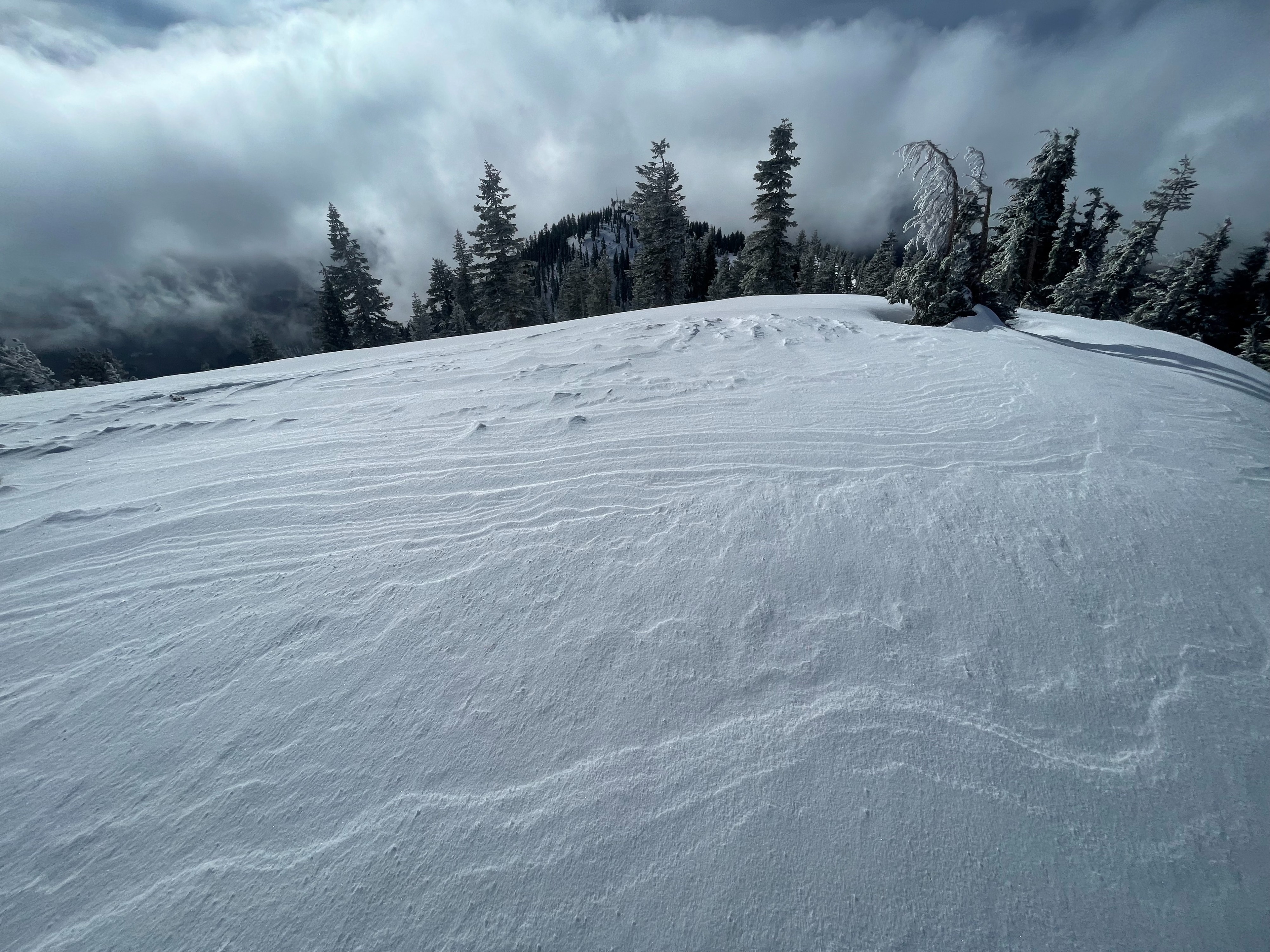
The goal of today was to assess new snow totals below and near treeline, as well as looking for any wind and new snow instabilities. Being my first visit of the season to Gray Butte, I was surprised to find decent coverage all the way down to the base of Mount Shasta Ski Park. Above 7,500 feet, the snowpack is at least 100 cm deep, with some areas holding as much as 140 cm. Around 10–12 cm (4 -5 inches) of new snow has accumulated since last night, with the new snow being cold, dry, and loose. As for avalanche danger, no significant red flags were observed. Very little wind effect was seen in the observed elevation bands. Above treeline, on Mount Shasta, wind textured snow could be seen by the naked eye. In the steepest terrain, the loose new snow can entrain and run 20–30 feet. Upon pit tests, minor failures occurred within the new snow, but did not propagate in extended columns. On the way out, temperatures began to warm.
As for ski travel in the Gray Butte area, the base of the northwest face is still relatively thin and should be traveled with caution.
Small dry loose avalanches could be triggered by skis in very steep terrain.Weather
- Air Temp
- 20
- Cloud Cover
- obscured
- Wind Loading
- none
- Rain Elevation
- 3,000
- Recent Snowfall
- 10-12
- Snow Avail For Transport
- moderate amounts
Cold, winter conditions dominated the outing. Precipitation started out light (S-1), before intensifying (S1) in the afternoon. Skies remained mostly obscured, except for a 30-minute break of blue skies midday. Temperatures stayed consistently below freezing. Wind speeds were calm and mostly unnoticeable, despite an occasional light gust out of the southwest.
Snowpack
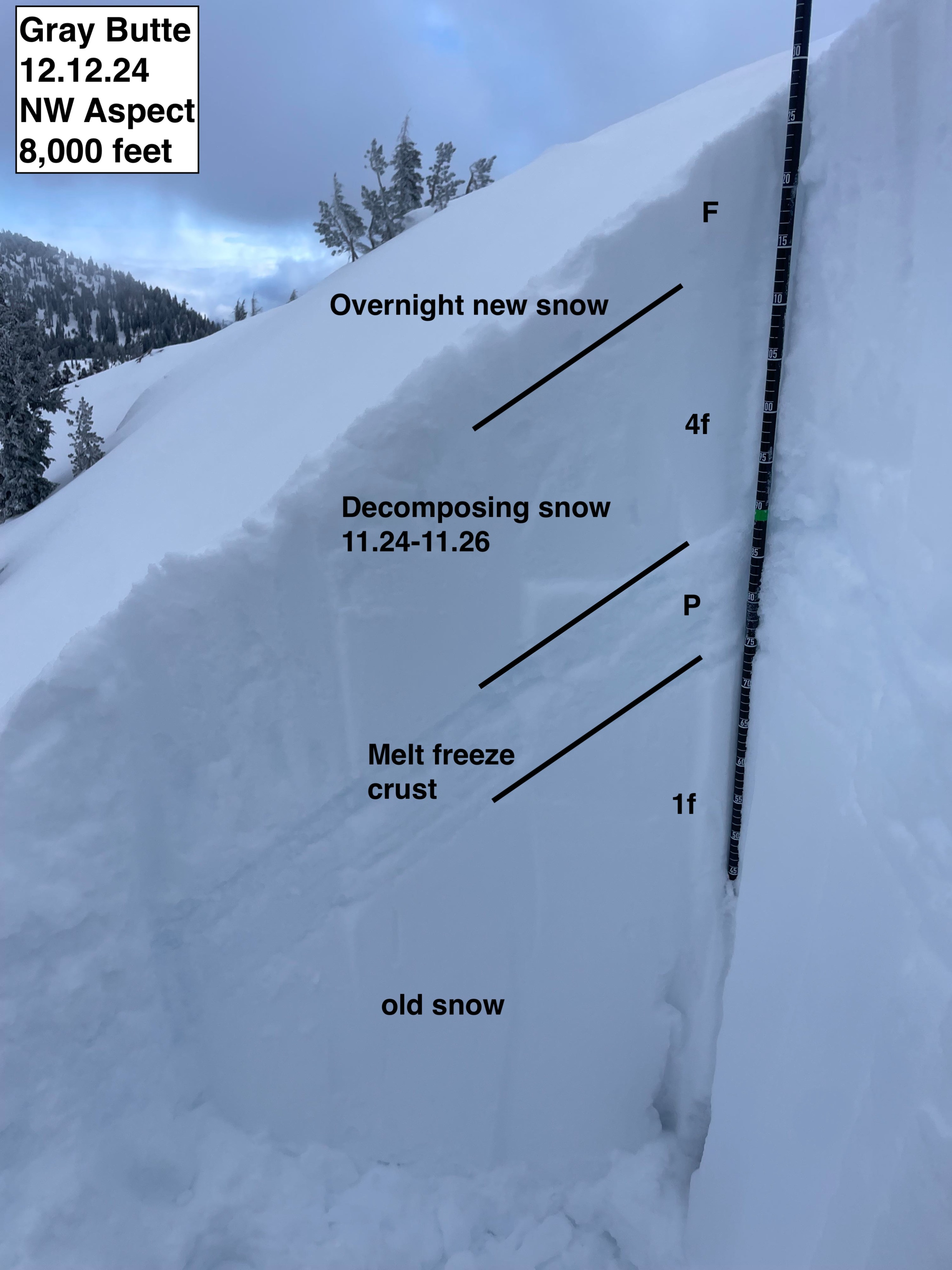
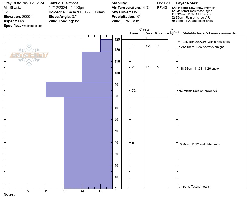
The overnight storm has deposited 10 to 12 cm of light, dry snow. Surprisingly, the new snow is relatively low density, remaining unconsolidated through the day. Below the snow is a thin solar crust with decomposing old snow from November. Depending on the aspect, the solar crust varies in thickness. On southerly aspects, the crust is very obvious and nearly impossible to punch through. In the most shaded aspects, the crust can not be felt under the weight of skis.
On a southeast aspect at 7,800 feet, the snow depth averaged 115 cm.
A pit was dug on a northwest aspect at 8,000 feet. The snow depth at this site was 125 cm. Upon pit tests, small failures were identified within the new snow, but did not show propagation or any significant instability.