
Quick report
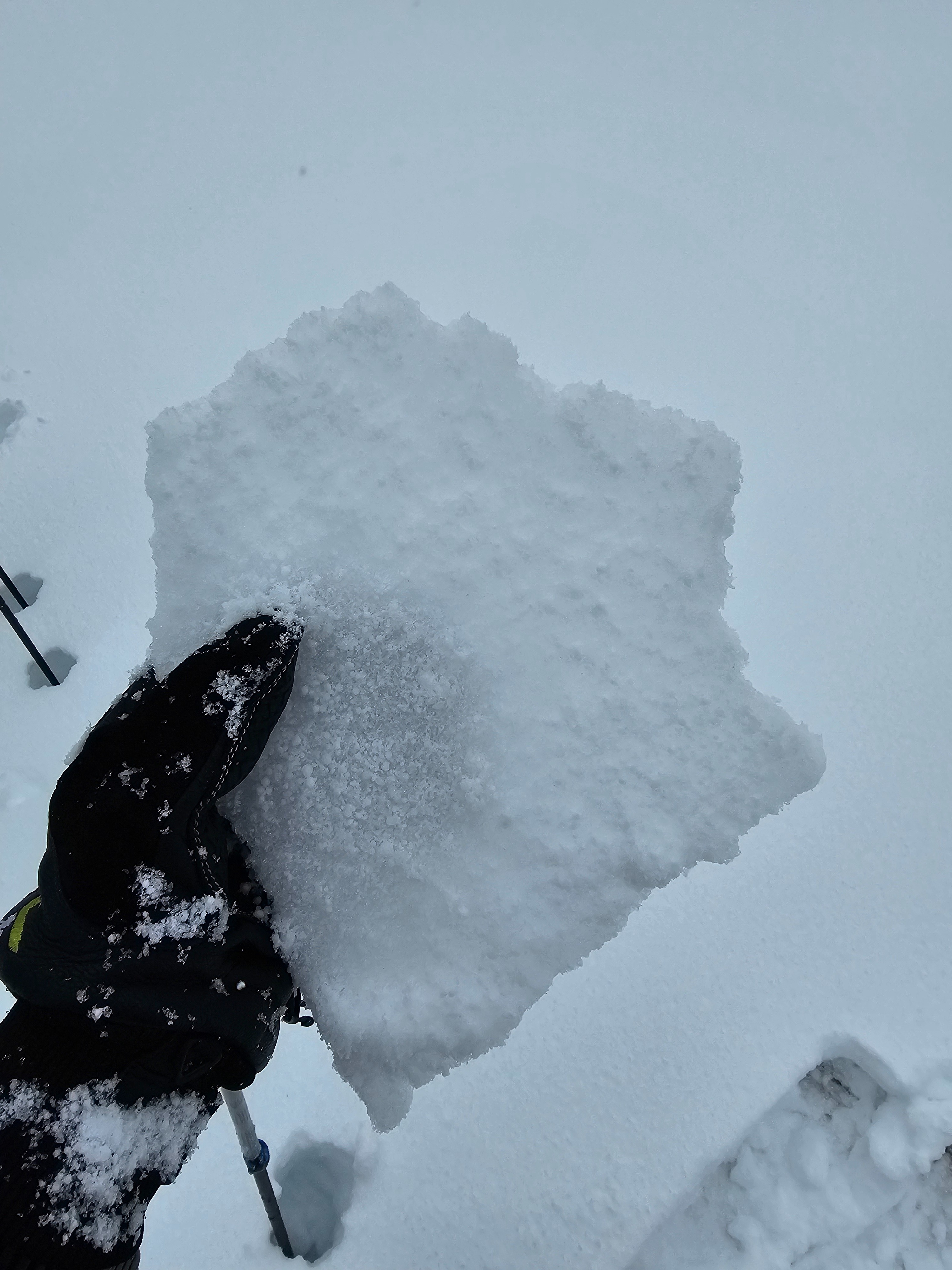
In our travels we noted about a foot of fresh snow. The bottom 10 inches was medium to high density and cold. The top layers of the snow however had a 2cm thick crust from the warm temperature precipitation. On top of this was about an inch of new graupel and high density snow. This crust made for difficult travel.
This is a classic upside down snowpack and is one of multiple reasons that we avoided any steep slopes. The new snow should settle in the next 24-48 hours, but during this time I will still have my guard up since it fell on such low density snow.
Buried 2-4 feet down is our JDL (January Drought Layer), we saw some signs of old avalanches that ran on this layer, likely during the beginning of this storm. These avalanches failed on steep N and NE slopes around 8,000'. Different from the new snow problem, this layer will stick around longer. Slopes that are 8,000-9,500' in elevation and shaded are most suspect.
Weather
- Air Temp
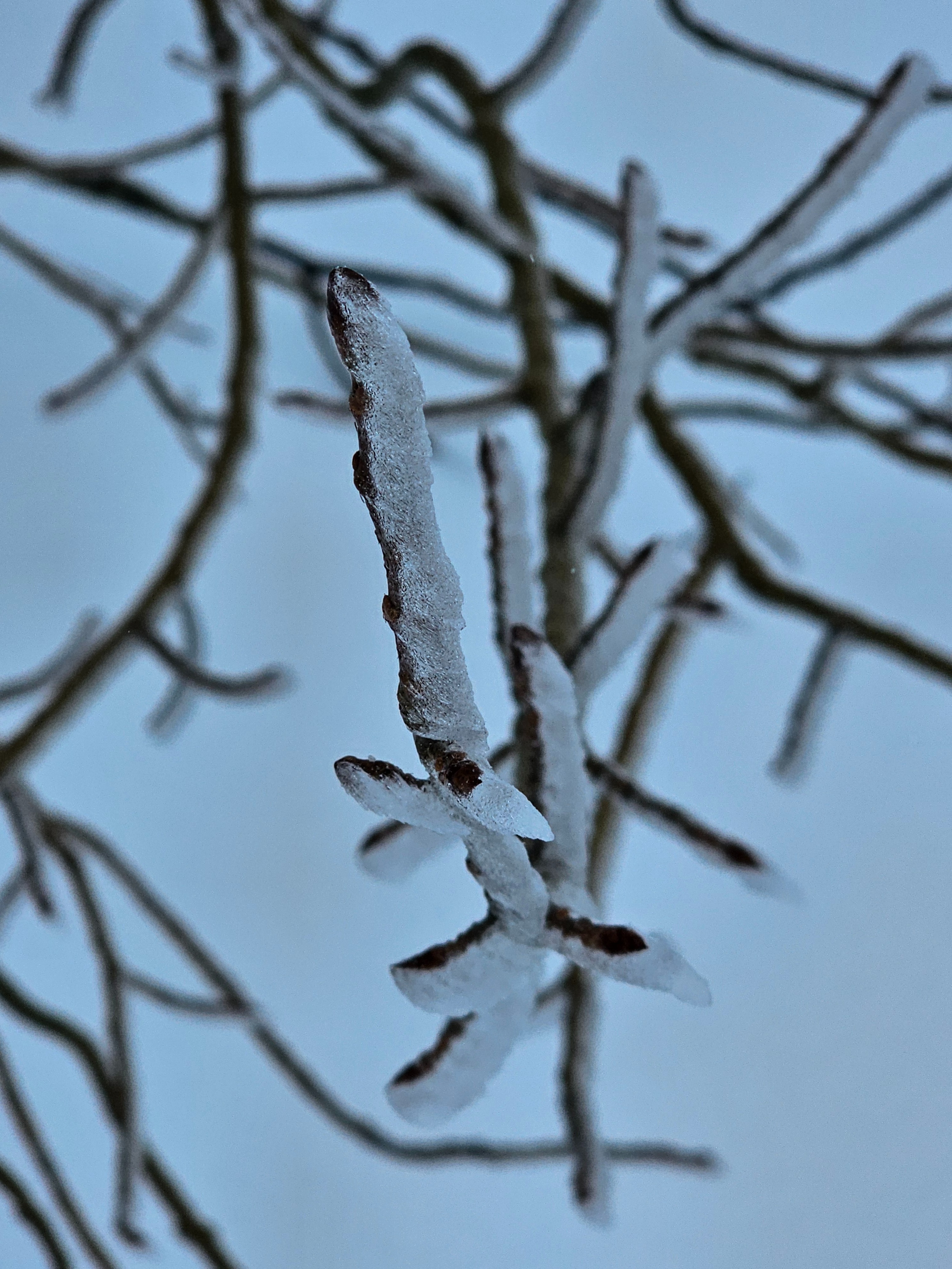
- Near or slightly above freezing.
- Cloud Cover
- obscured
- Wind Loading
- previous
- Recent Snowfall
- 30
- Snow Avail For Transport
- small smounts
It was really socked in and foggy until around 2pm when clouds lifted. Winds were light gusting moderate at 8,500', but were minimal down lower.