
Quick report
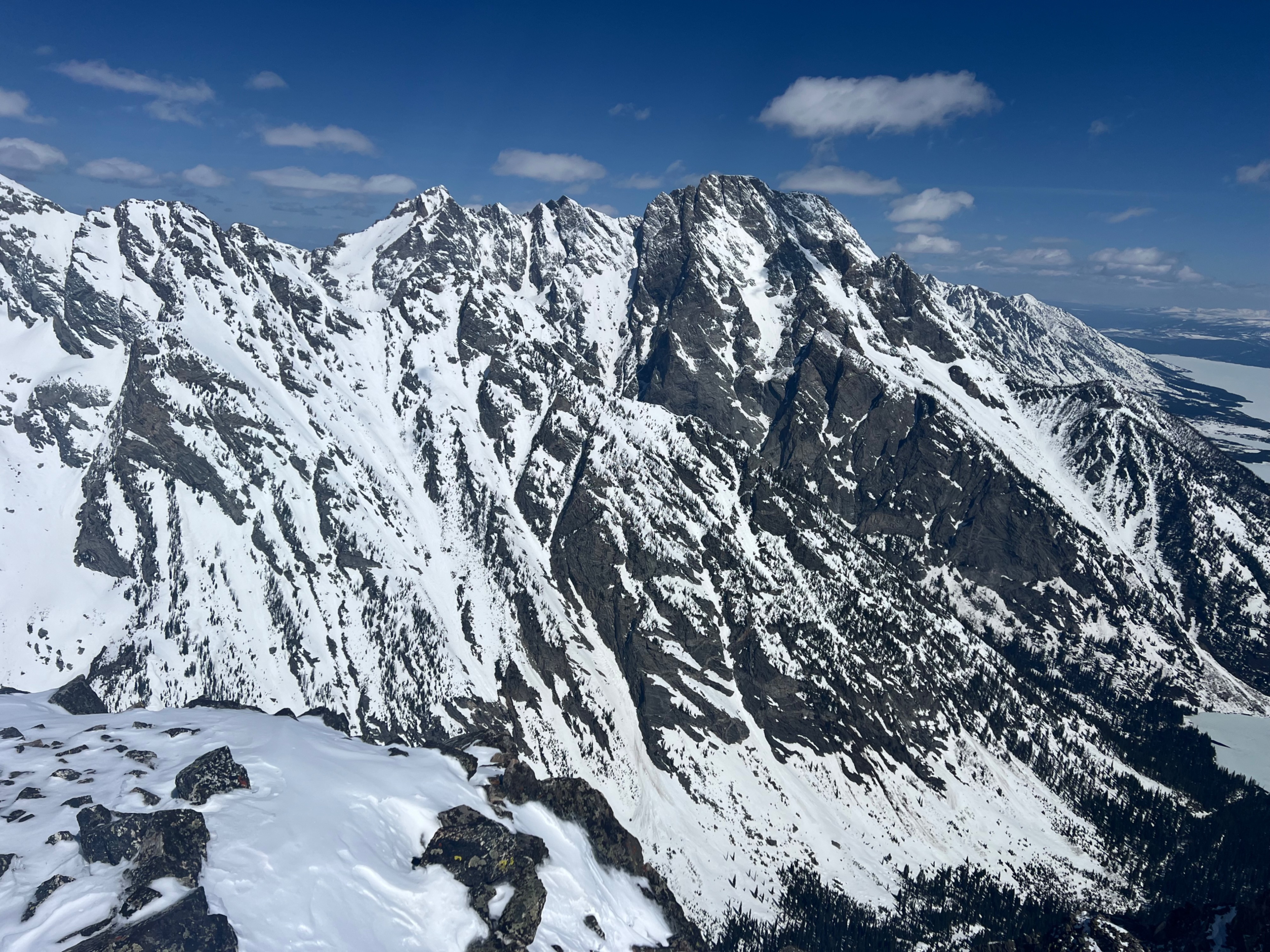
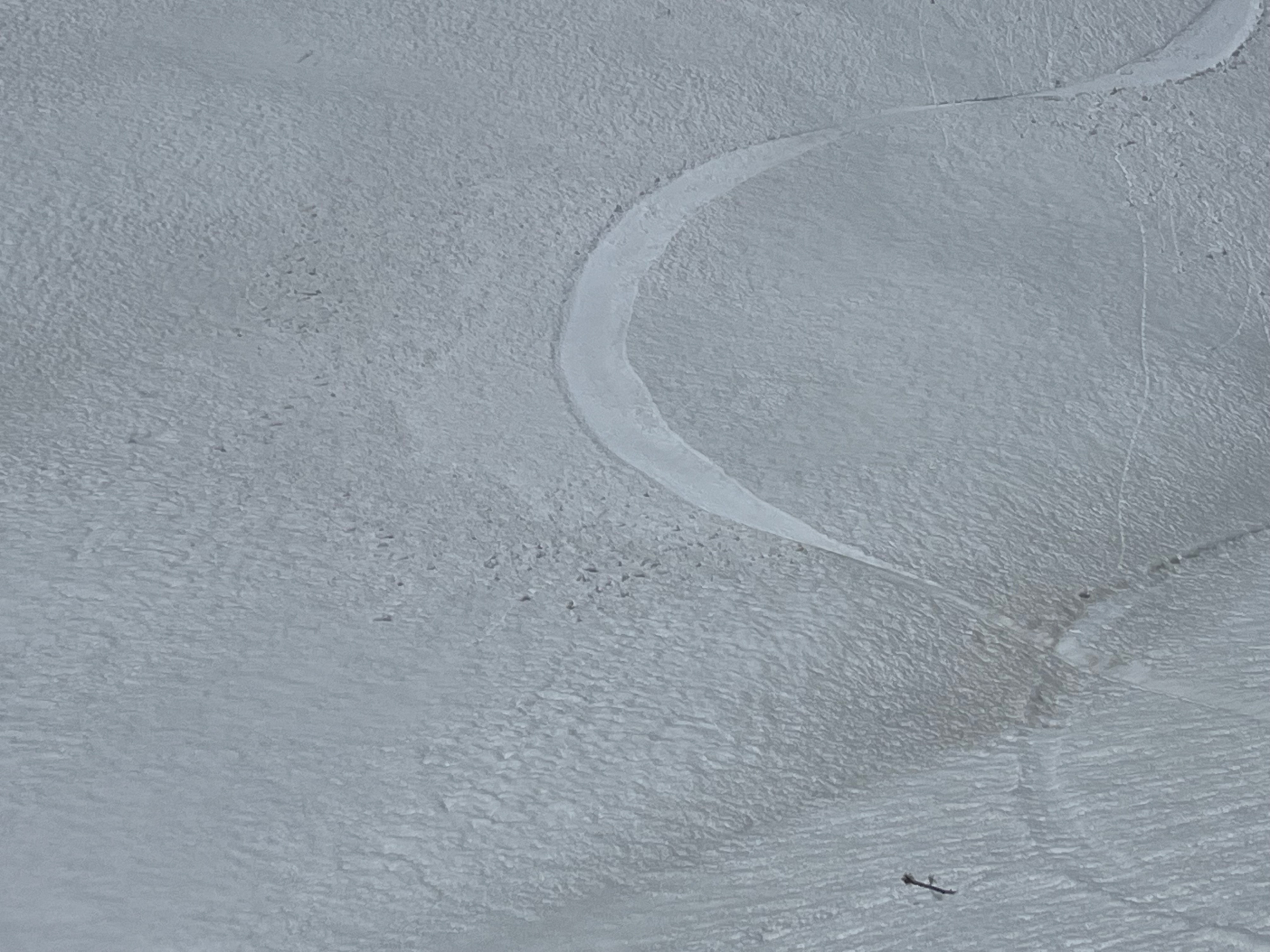
Traveled to 11,000’ on northeast through southeast aspects. We found hard, refrozen surfaces up to 8,500’ this morning. Above that, 3-6 inches of recent snow was observed with deeper drifts up to 10” in places. Strong wind last night scoured and drifted recent dry snow (JHMR Summit 30-40 mph gusts to 50 mph). Snow characteristics varied by aspect with dry wind affected snow on northerly aspects and a surficial melt freeze crust developing on solar aspects. The old melt freeze crust is distinguishable by the visible dust particles.
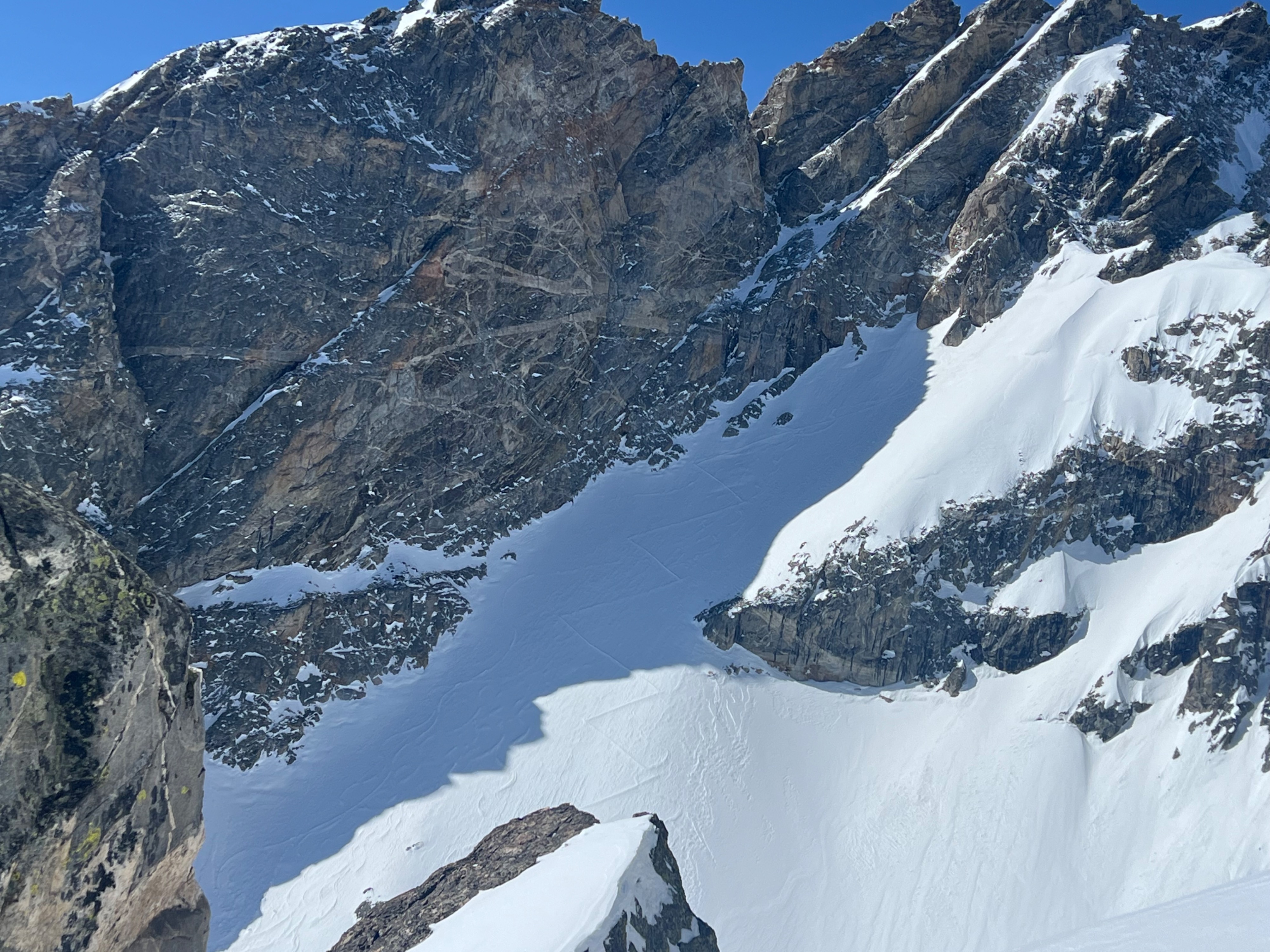
No signs of instability or significant recent avalanche activity. Several small loose avalanches appear to have run within the last few days after the Thursday (4/17) storm. A hasty hand pit in a cross loaded feature at 10,500’ revealed 8” of dry snow sitting above a hard melt freeze crust. The bottom 4” were well bonded to the crust and the upper 4” consisted of firmer wind slab that sheared with moderate pressure. Wind slabs appeared to be isolated and not reactive where we traveled. Strong sun this morning, but we did not observe any loose snow sluffing as a result. Increasing cloud cover beginning around noon.
Lake ice is holding, but the days seem to be limited. Good snow coverage remains to the valley floor.
Weather
- Air Temp
- 25
- Cloud Cover
- clear
- Wind Loading
- none
- Recent Snowfall
- 3"
- Snow Avail For Transport
- small smounts
Cool air temperature, clear skies this morning, increasing cloud cover developing around noon. Light ridgetop winds.