
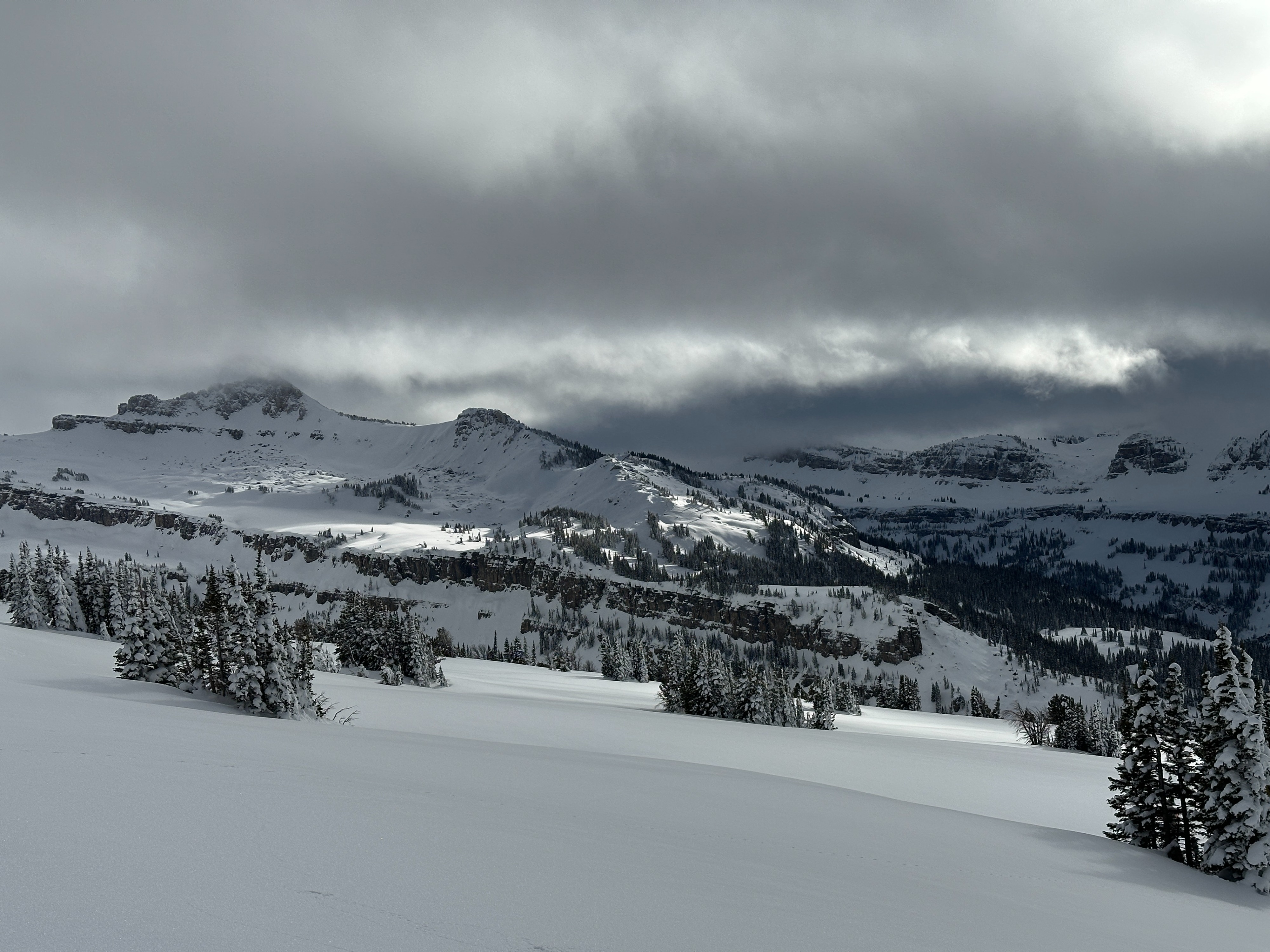
Quick report
Toured up Table Mountain Ridge. In the morning, a 2-3 cm surface crust was present on south and west aspects below 8500'. When descending in the afternoon, this crust layer had broken down and damp snow was found in the top 3 inches of the snowpack. Clouds that started to develop in the late morning limited the direct solar input on the snowpack. As a result, signs of warming such as roller balls and pinwheels were absent. A few very small wet loose avalanches were on the backside of Grand Thargee and were likely from the previous day. Above 8500' the snowpack remained dry and surface hoar (3-4mm) was present on all aspects and persisted into the afternoon. Snowpack depth varied by aspect. At upper elevations, we found an average snowpack depth of 150cm with a deeper snowpack on northern aspects. Middle elevations were shallower with an average snowpack depth of 120cm. Facets (2mm) were present at the bottom of the snowpack in the upper elevations on west and north aspects and appear to be rounding.
No signs of instability were noted.
Weather
- Cloud Cover
- broken
- Wind Loading
- previous
- Snow Avail For Transport
- small smounts
The sky started clear in the morning, and then clouds developed by afternoon. Sky was fully obscured by cloud cover around 1:00 PM with the cloud layer sitting around 10500'—mild temperatures in the morning with 20F at valley elevations. Middle and upper elevations warmed to the upper 20s F and were shielded by cloud cover most of the day. Winds were calm below 9500'. At higher elevations, a light SW wind was present with occasional moderate gusts.