
Quick report
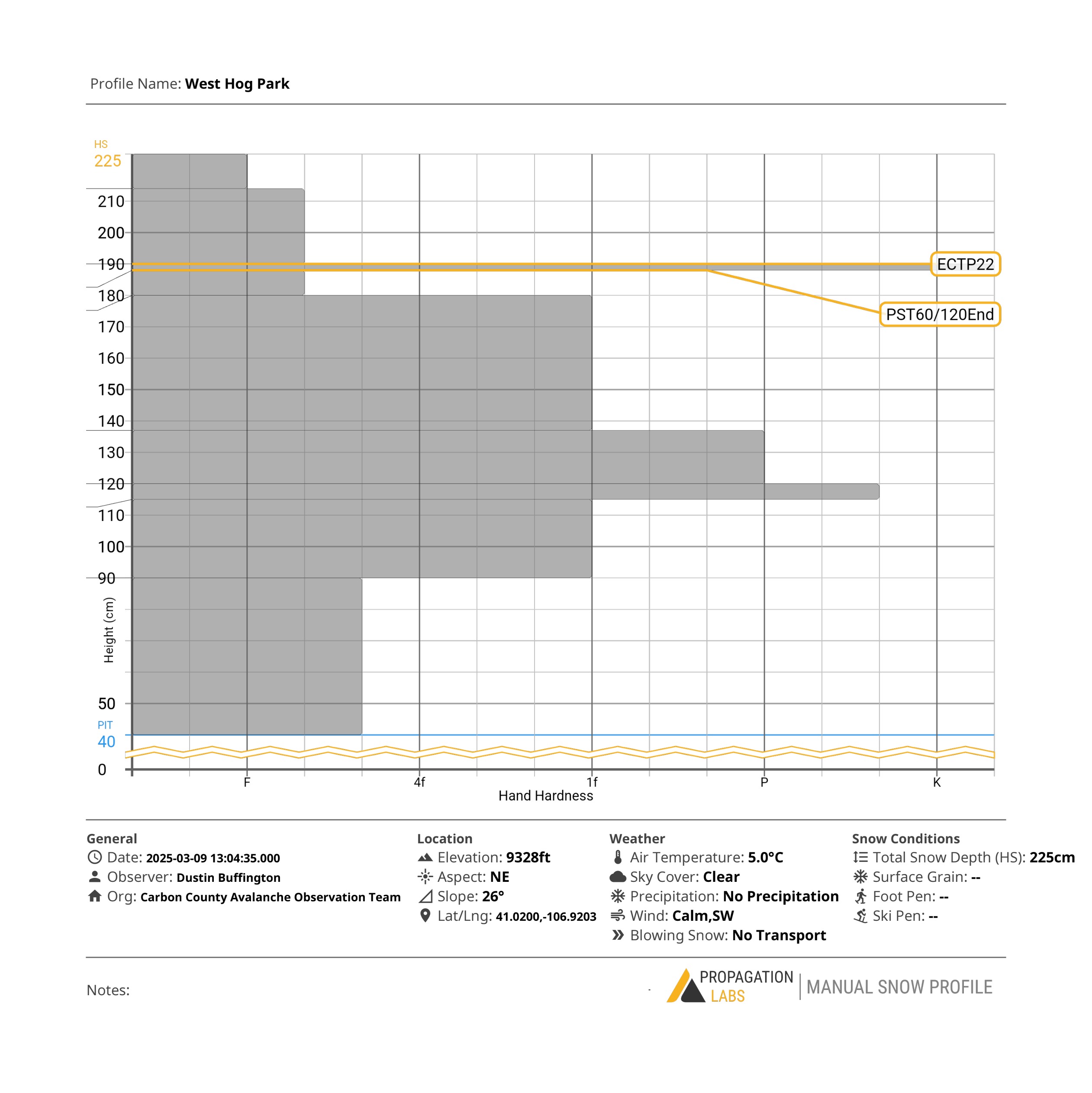
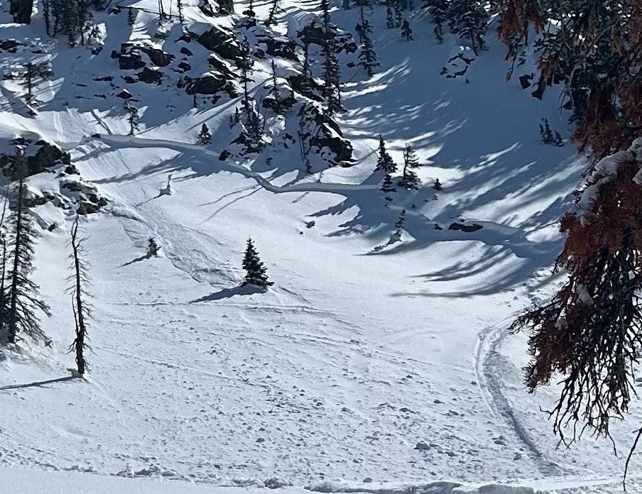
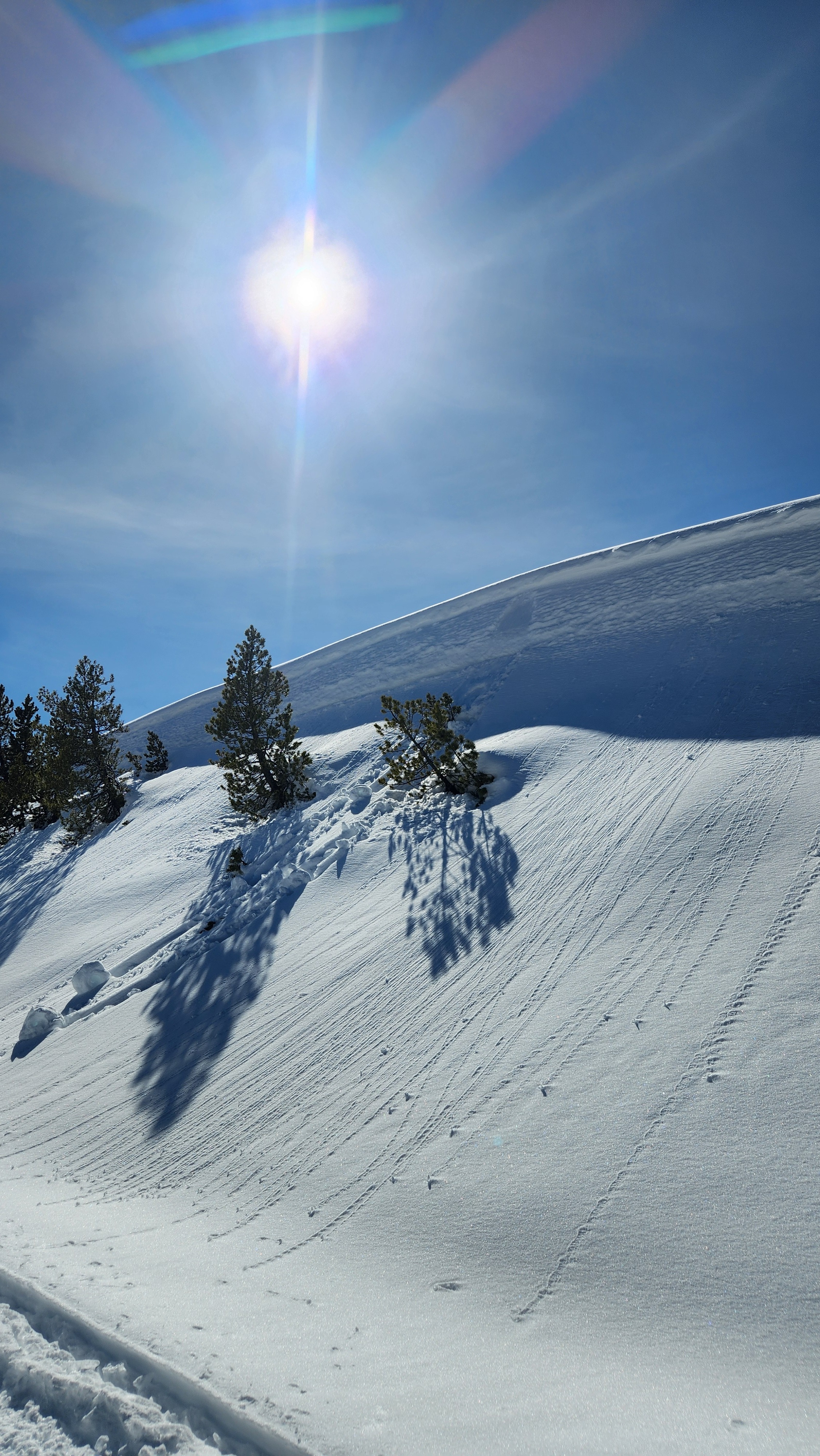
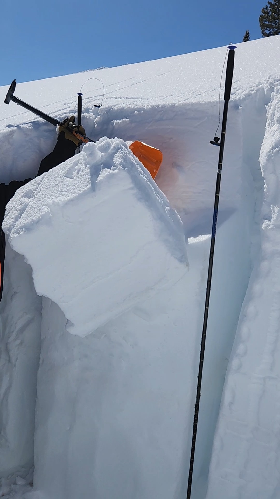
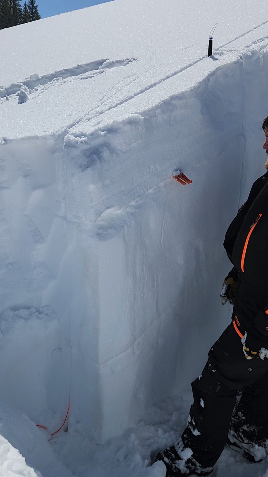
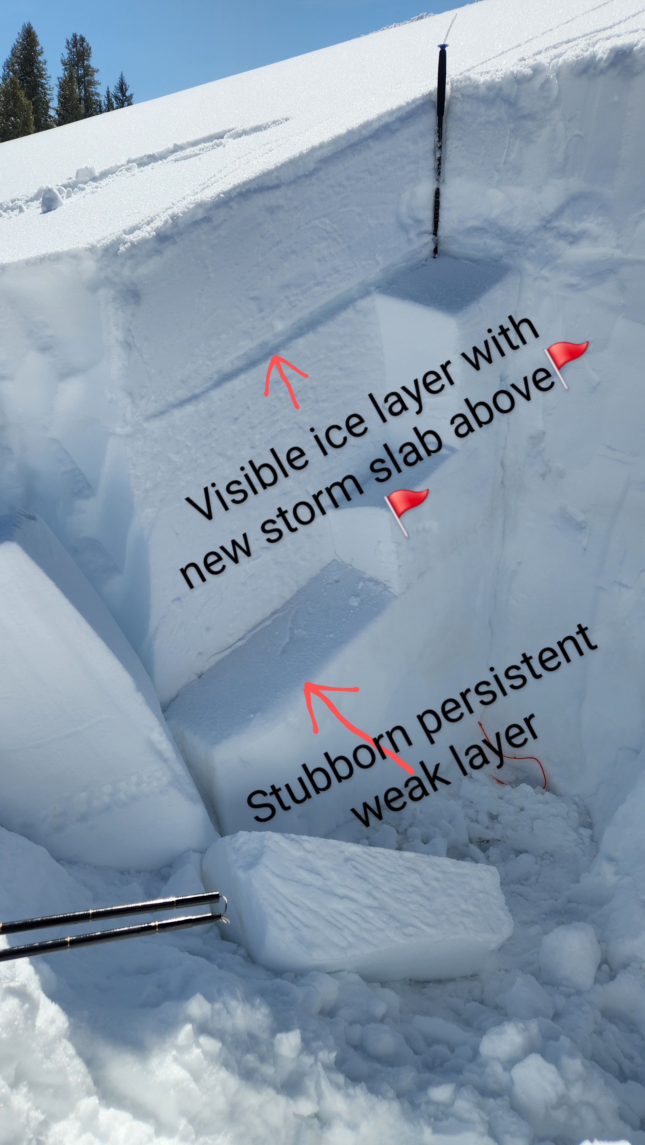
First thing that sticks out is the spring like riding conditions. The new storm slab is sitting on top of a thick ice layer with a very small layer of decomposing facets underneath. This layer was the most reactive in our Extended Column Test(ECTP22@190cm) and our Propagation Saw Test (PST60/120@188END). With those findings we can conclude there is a potential, currently, for Storm Slab Avalanches and moving forward, potentially Wet Slab Avalanches. While the Persistent Weak Layer remains in the snowpack, in this area, it is stubborn to loading. This still doesn't rule out a Persistent Slab Avalanche. Caution should be taken in thin areas of the snowpack (ie trees, rocks, stumps, etc) so as to avoid triggering this weak layer. Looking ahead, we have another warming pattern followed by another snow storm, that ice layer, may cause us some issues. While not in our immediate zone, an avalanche was observed the day prior in the Sierra Madres. This was near the Red Mountain area. Some rollers were observed today due to increasing temperatures.
Weather
- Air Temp
- 41
- Cloud Cover
- clear
- Wind Loading
- none
- Recent Snowfall
- 37
- Snow Avail For Transport
- small smounts
Snowpack
The snow depth was 225cm or 7'5". There's about 15" of new snow or storm slab present, sitting on top of a hard ice crust. A bit further down is a persistent weak layer (120cm down).