
Quick report
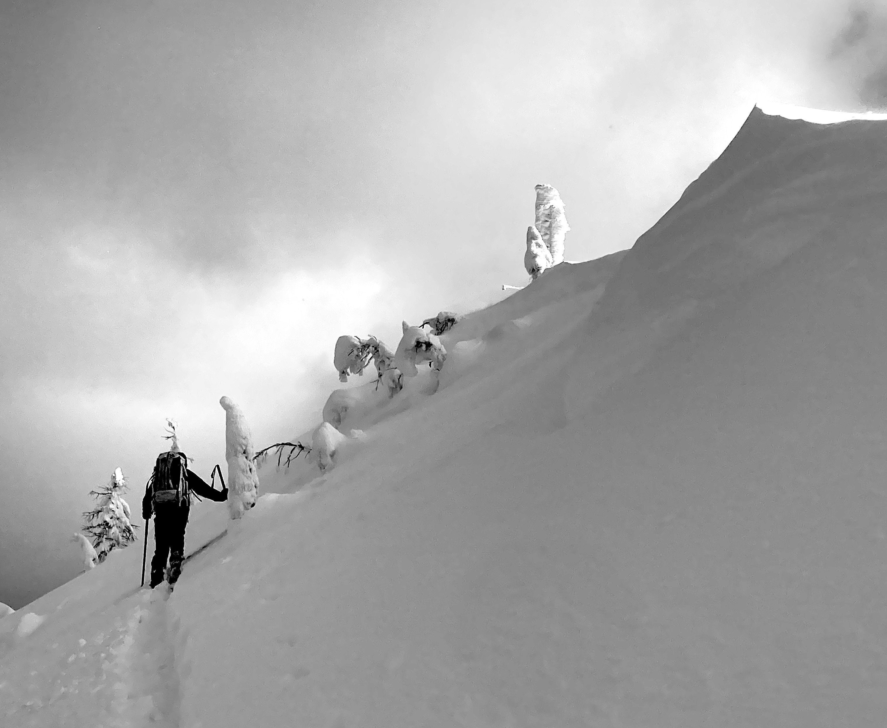
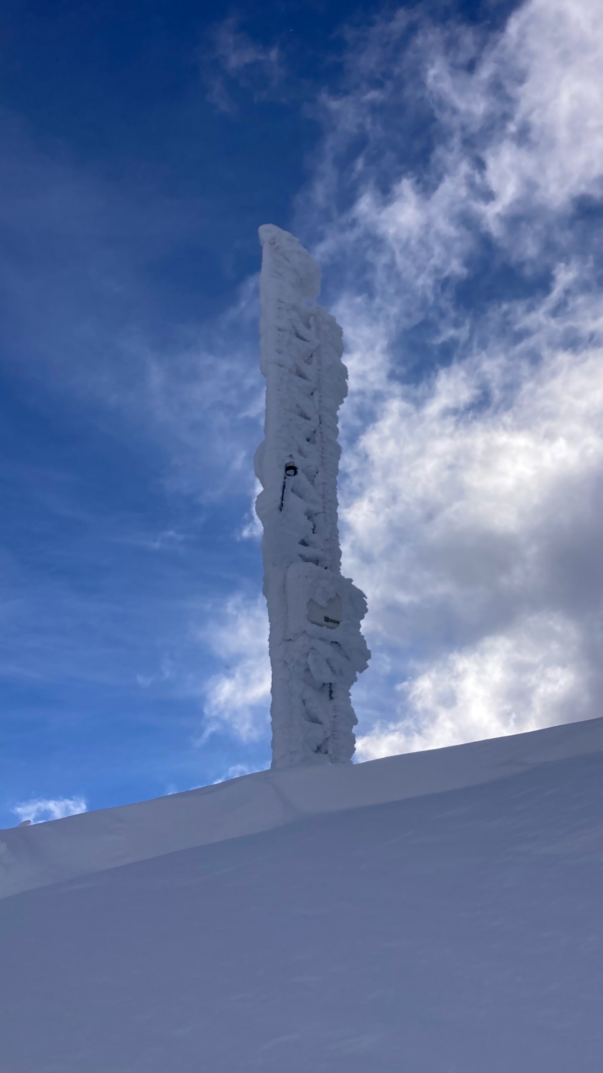
We traveled to the Link Mountain Weather station, to knock off the gobs of rime that accumulated during the atmospheric river. The rime prevents the wind sensor from reading and covers the solar panel, so the battery doesn't charge.
- We saw a few recent natural slab avalanches, all on northerly slopes between 6000 and 6600 feet. The largest was a D2. See avalanche links.
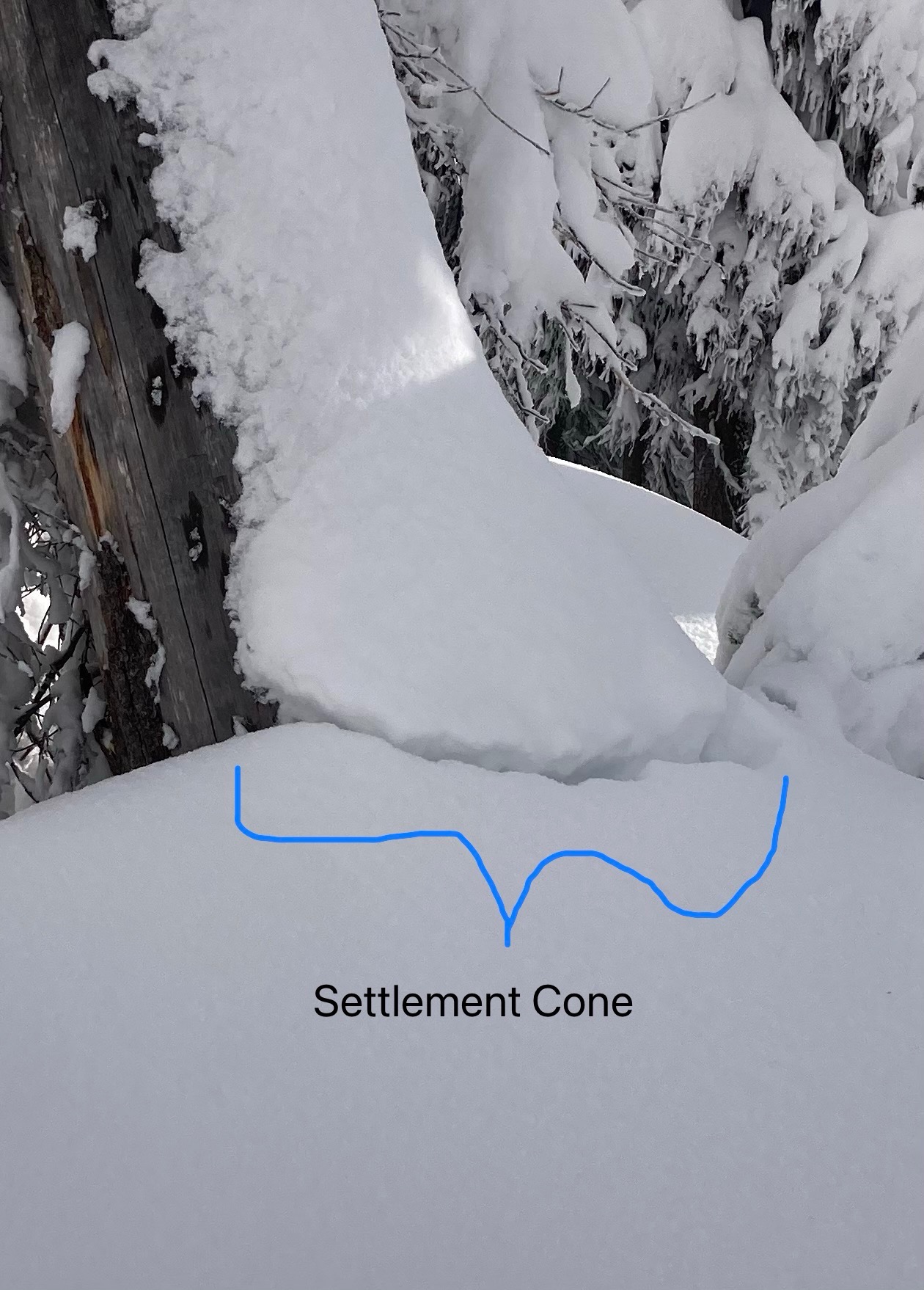
- The Red Meadow area celebrated Thinksgiving last weekend, when it received up to 120 cm of snow during the atmospheric river event. That's a guess, after settlement.
- We celebrated the strenuous, knee-deep trail breaking, because for a first day of field work, that's a great problem to have.
- It was only one profile in one place, but from that and the lack of instability signs, the upper elevation snowpack where we traveled appears to be remarkably deep, right side up (harder with depth), and free from prominent persistent weak layers. There is one decomposing layer of facets about 45 cm above the ground.
- The mid elevation snowpack contains a soft melt-freeze crust below the most recent snow. We did not have time to look for buried surface hoar that's been reported elsewhere in the region.
- Ridges have small cornices and wind drifts, some building with today's westerly winds and light blowing snow.
Weather
- Air Temp
- 20
- Cloud Cover
- broken
- Wind Loading
- light
- Recent Snowfall
- 1
- Snow Avail For Transport
- moderate amounts
Light to moderate westerly winds at ridgeline, with light blowing snow. Skies alternated between obscured and broken.
Snowpack
HS above 6000 feet 110-150+ cm. Below about 6300 feet, pole probing and hand hand pits showed 40-60 cm of soft, mostly unconsolidated recent snow over a soft crust. We did not have time to investigate more closely.
Somewhere between about 6300 and 6500 feet, the crust disappears. We did not track the elevation closely.
Profile at 7000 feet, NNW facing slope, below ridge and subject to light wind loading: HS 182 cm. Progressively harder with depth (F+-> 1F). Layer boundaries indistinct except at about 45 cm above ground, where we found a decomposing faceted layer. An ECT also produced a non-propagating failure (ECTN18) at about 140 cm, on a nonpersistent grain type/ size change.
On the lee side of the ridge, the top 25 cm was slightly stiffer and cakier, from wind drifting. Slope cuts and stomping on bulges produced no shooting cracks. We did get a few short cracks (< 1m) at switchback corners, where the slab was undercut.
Avalanche
- Size
- D1
- Type
- SS
- Count
- 3
- Aspect
- NW
- Trigger
- N
- Elevation
- 6200 ft
Possibly triggered by debris from slab or loose snow avalanche from above. Stauchwall visible. Ran late in the storms.