
Quick report
FAC lacks observations from the Flathead Range, so we headed to Grant Ridge to collect baseline snowpack data.
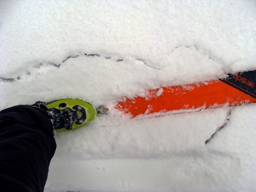
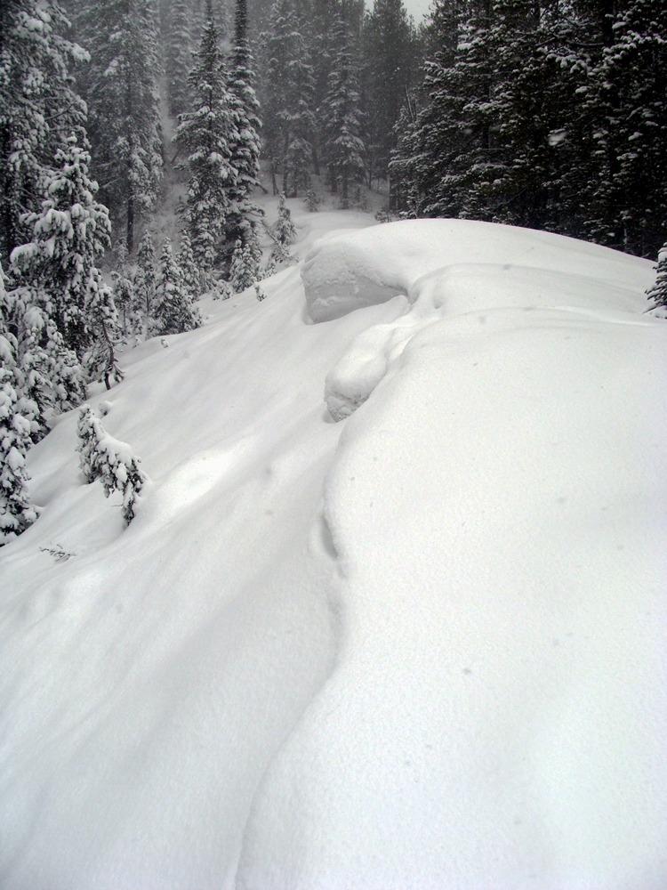
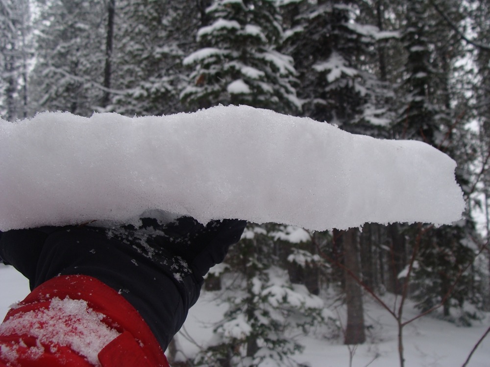
- This morning's 24-hour snowfall total was 2 inches at 4,500 feet and 5 inches above 6,000 feet.
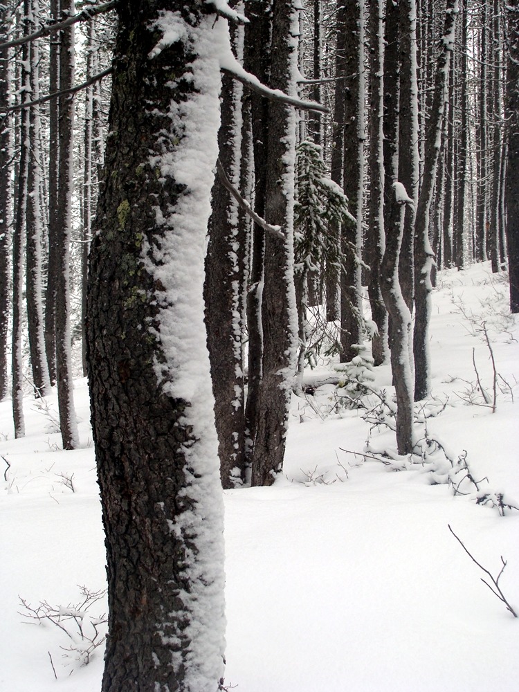
- Snowfall through the day favored lower elevations, as we found six dense inches on our truck (3500 feet) at day's end.
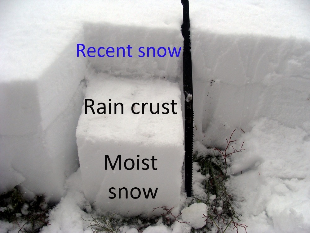
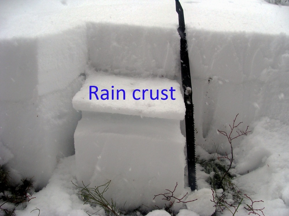
- The recent snow rests on a 1 - 2 inch thick crust unsupportable to a person on skis. This crust extends from the valley floor to our high point at 6300 feet and formed during the recent warm rain event.
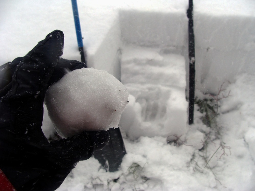
- At our high point, we noted the rain had percolated through the snowpack to the ground. All of the snow below the crust is moist, and we did not find evidence of a buried surface hoar layer.
- Obscured skies limited our view of neighboring avalanche terrain.
Weather
- Air Temp
- 25
- Cloud Cover
- obscured
- Wind Loading
- moderate
- Rain Elevation
- 2500
- Recent Snowfall
- 12
- Snow Avail For Transport
- moderate amounts
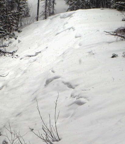
Light snow throughout the day. Winds picked up in the afternoon and transported moderate amounts of snow.
Snowpack
The snowpack below 5500 feet was mostly gone this morning. Above 6000 feet, the snow depth increased to around 20 inches.
- Our pit at 6300 feet on an east-northeast aspect was 20 inches deep.
- The top six inches of snow were moist and rested on a 1-inch thick pencil-hard crust.
- The 13 inches of snow below the crust were moist. Small and large column snowpack tests resulted in this moist snow turning into mush from our shovel taps.