
Quick report
- Cracking
- specific
In my travels today, I found:
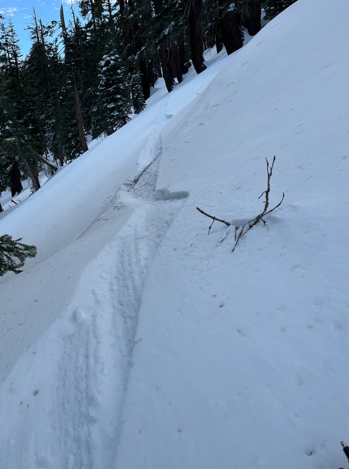
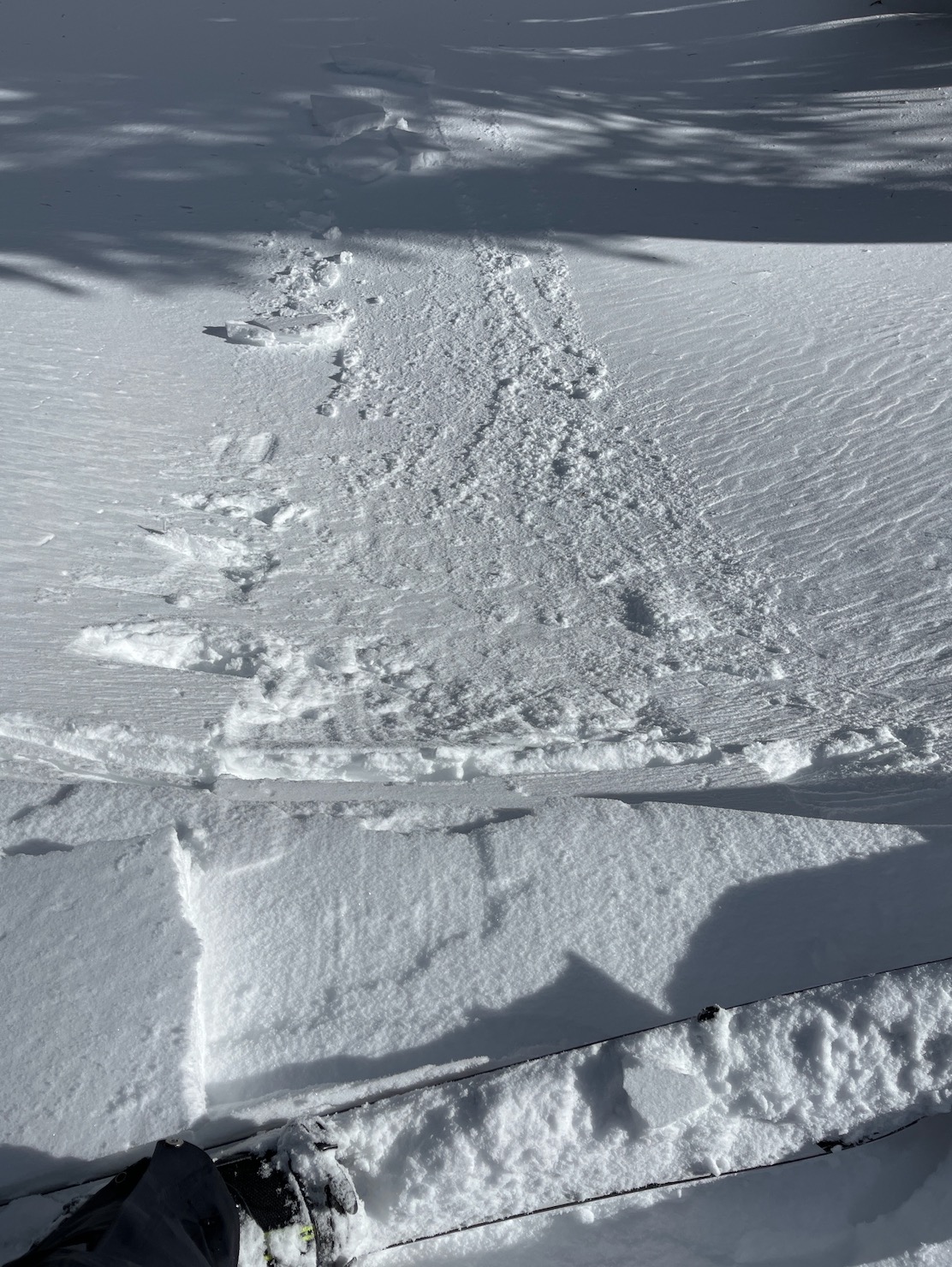
- breakable crust
- transitional/moist snow below 9000' in the upper snowpack
- reactive to stubborn wind slabs of varying hardness and thickness starting @ 9000', BTL
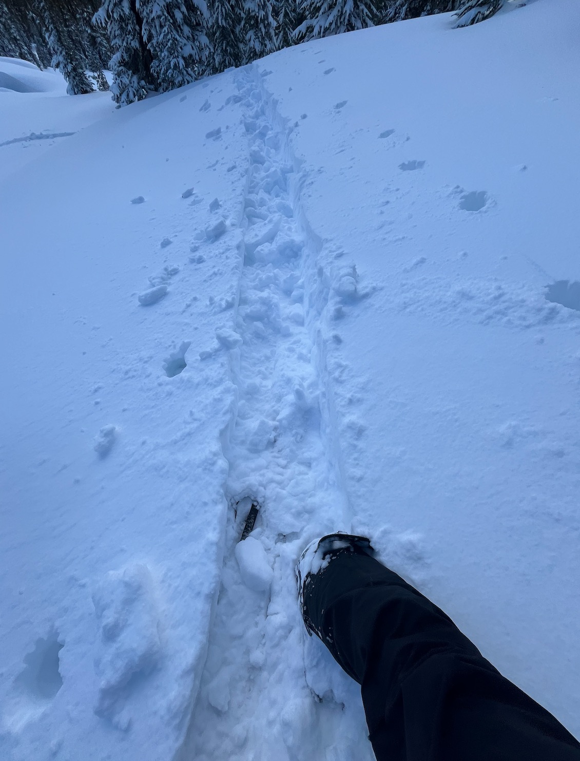
- punchy snow (wind affected snow on top of softer, lighter snow @ all elevations, BTL, NTL, and ATL
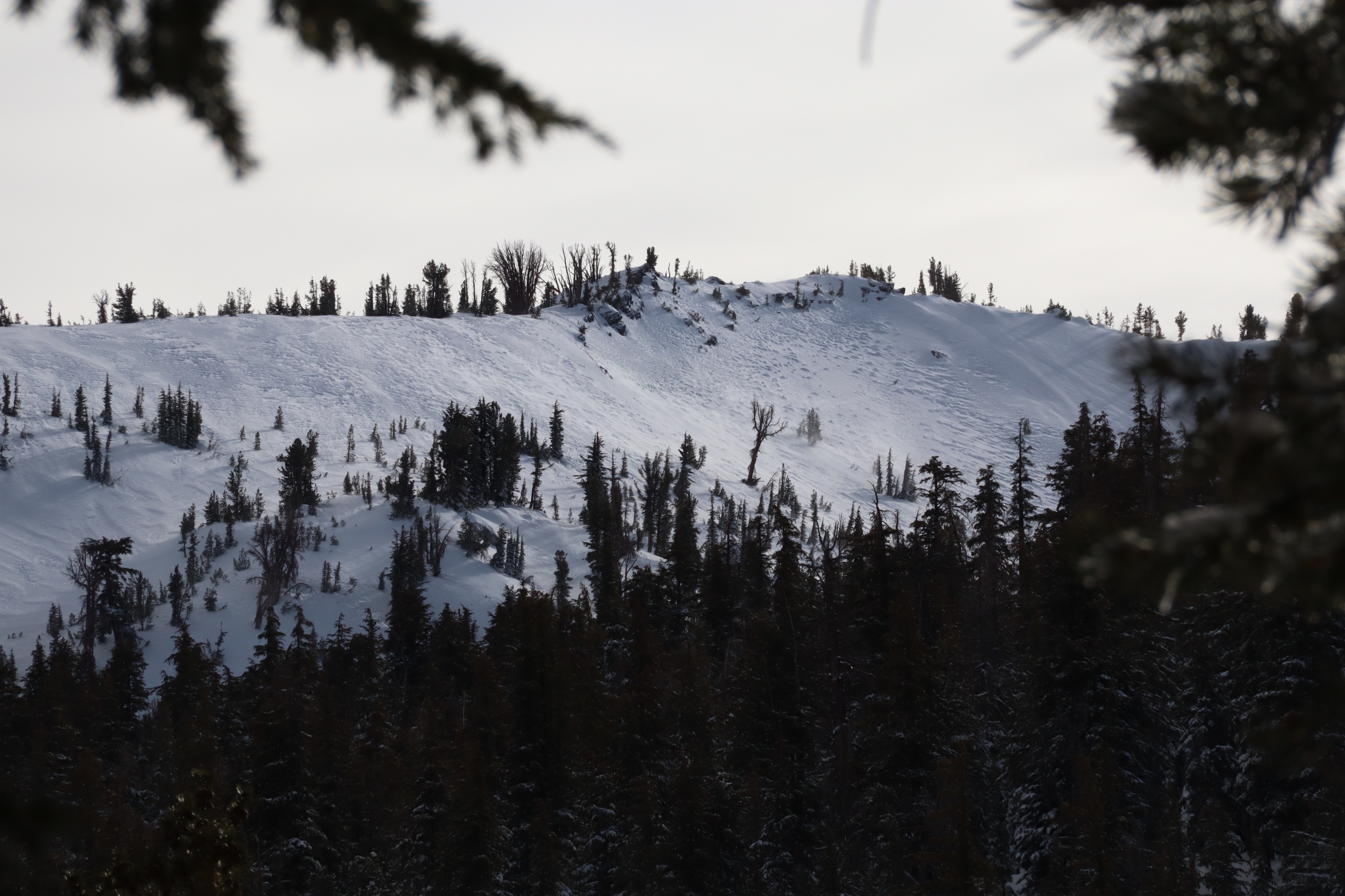
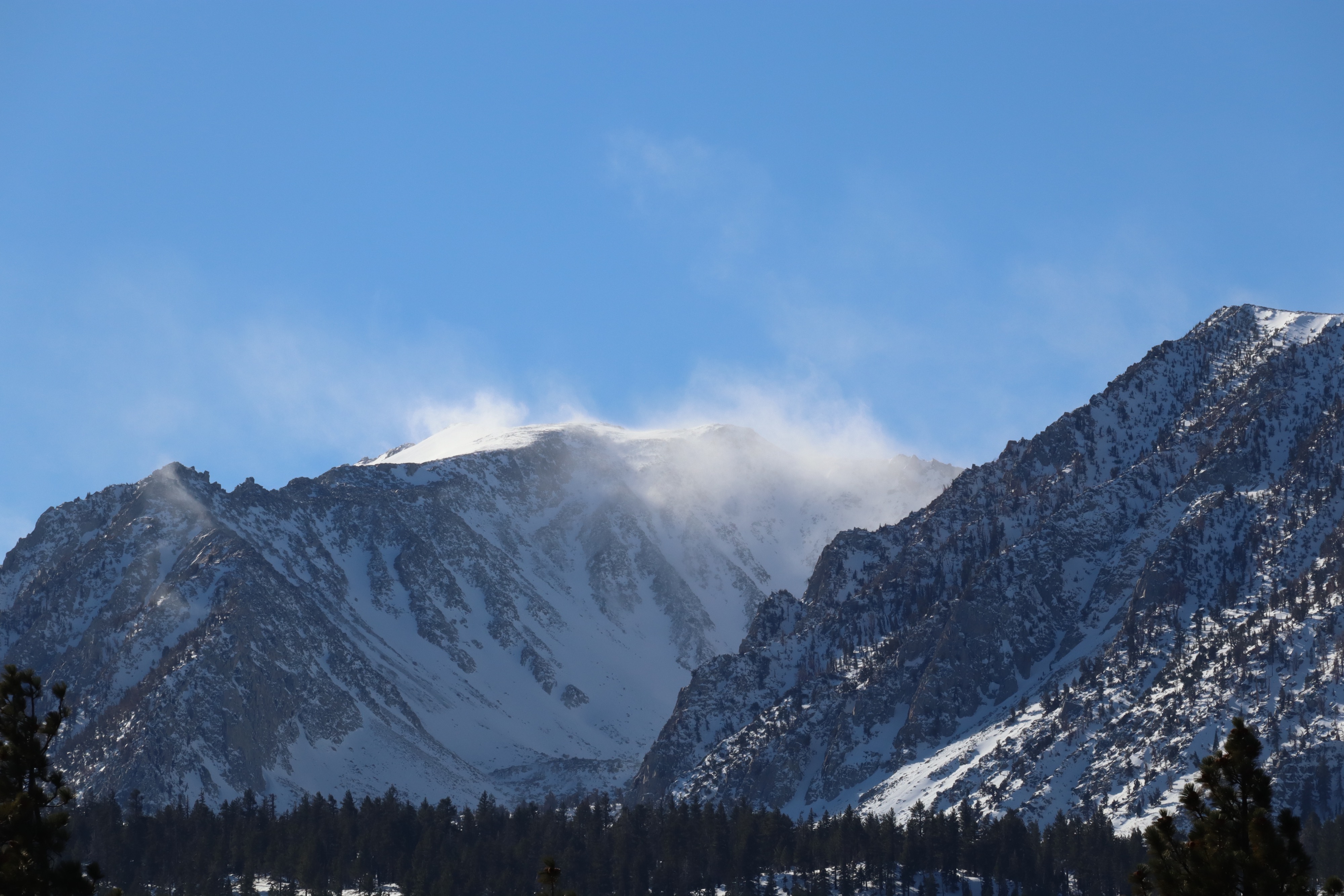
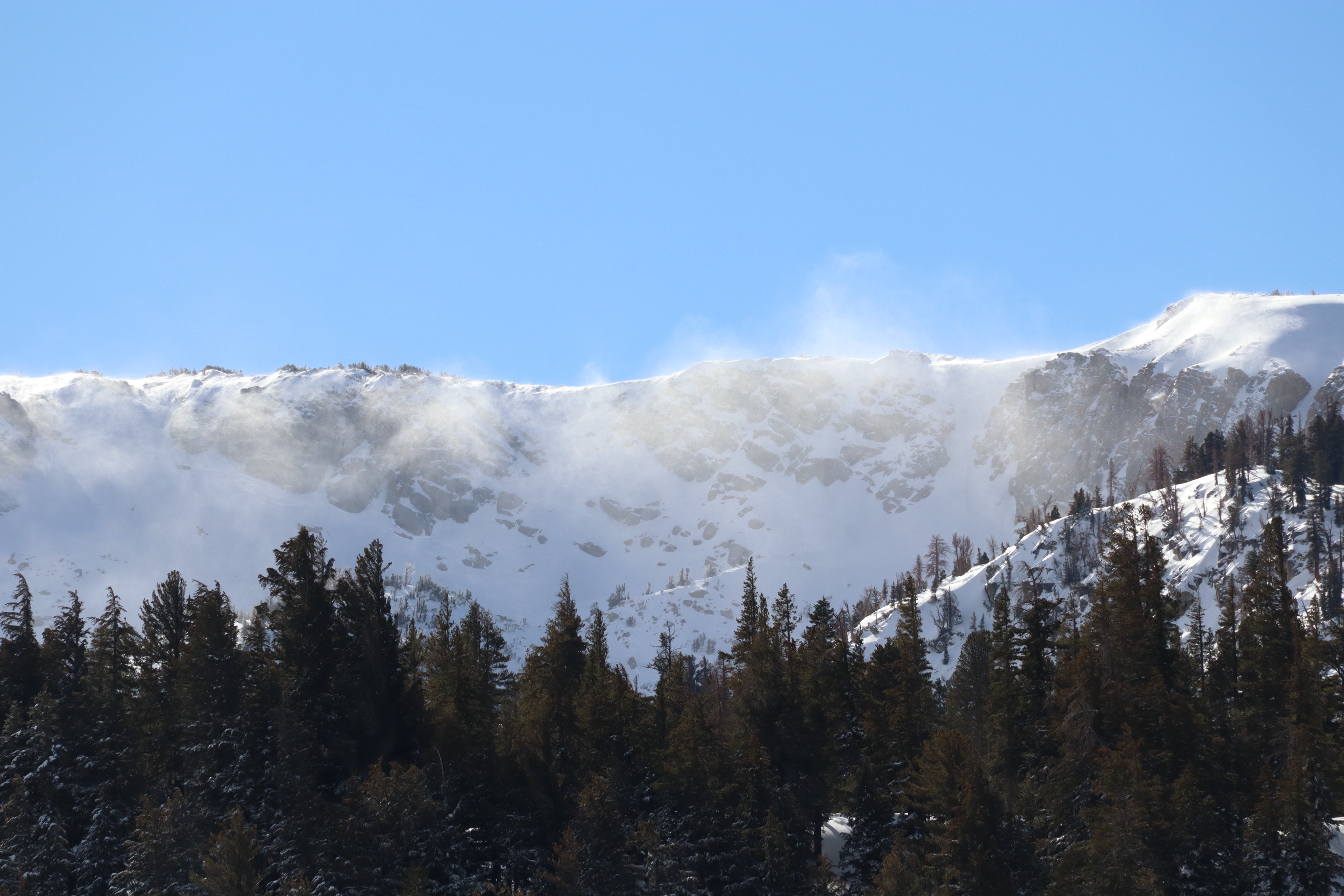
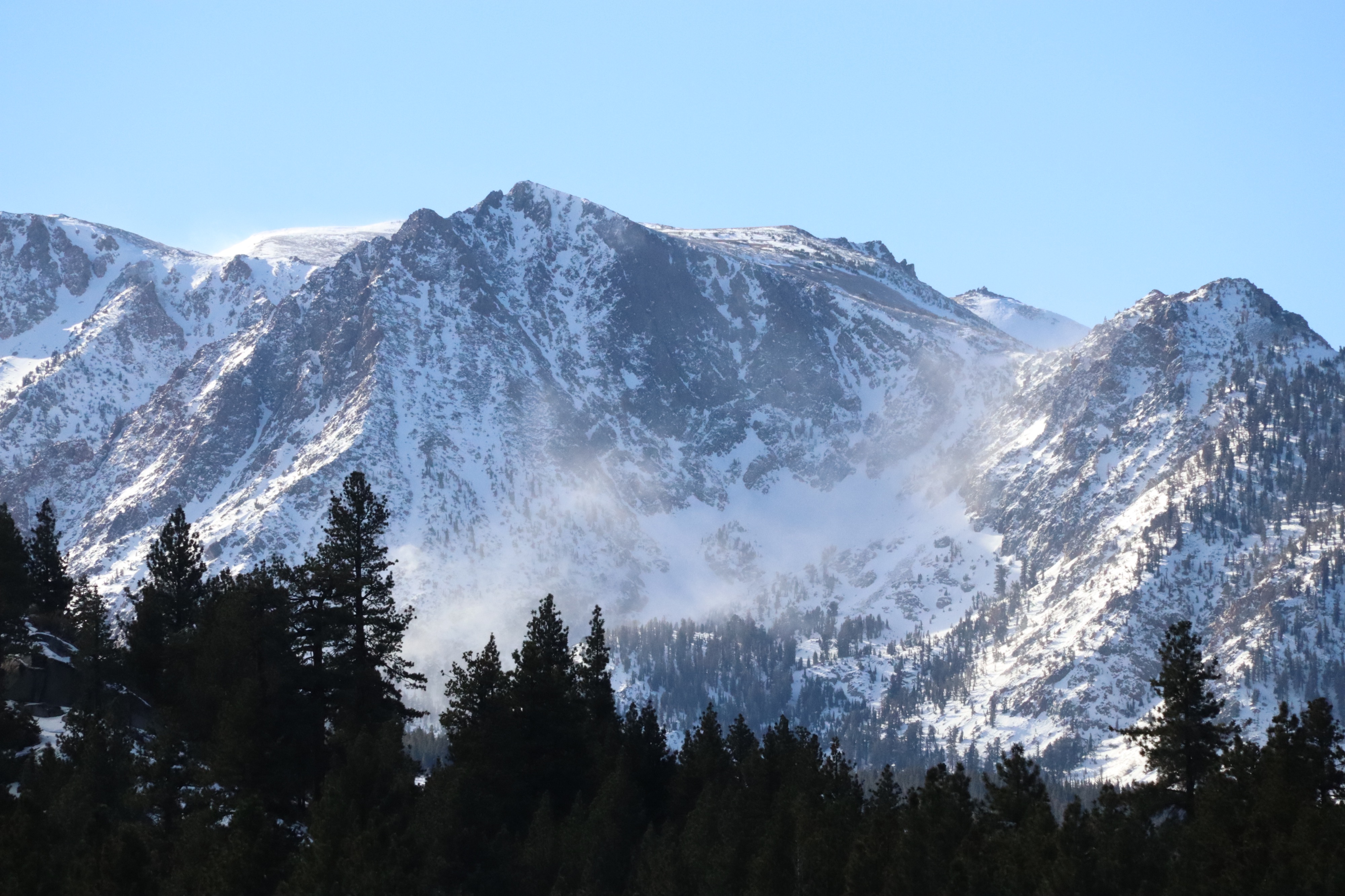
Travel was surprisingly difficult as a result, moving both uphill and downhill. I could observe in the distance intense amounts of blowing snow off ridgelines and midslope. Where I traveled today, I saw signs of previous wind effect, but mostly experienced only light to moderate winds. I could see slopes that were heavily wind effected (scoured or hard, wind buff) but did not experience these conditions where I specifically traveled.
No new avalanche activity was observed, but it was hard to see many areas covered in blowing snow, and crowns may have been filled in.
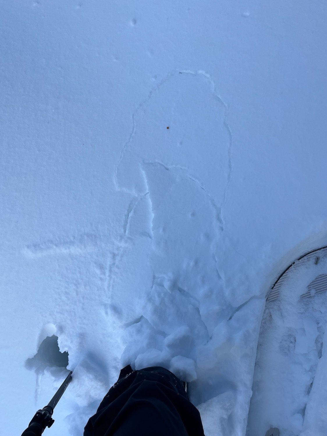
Cracking underfoot mostly. Some areas had enough wind effect that there were small amounts of propagation (up to 2 ft). Cracking was between a layer of wind slab and decomposing fragments in most places. Depth ranged from a wind skin to 25 cm.Weather
- Air Temp
- 37/30/37
- Cloud Cover
- scattered
- Wind Loading
- intense
- Recent Snowfall
- trace - 3 inches
Today was - surprisingly - mostly sunny in this area. Cloud cover and small squalls could be seen throughout the day in the distance. Winds did not meet expectation lower down and behaved uniquely in relation to terrain. While other areas reported small amounts of wet precip, there was none here today. Ridgetop winds and mid slope winds in exposed terrain were strong to extreme in the morning and slowly mellowed throughout the afternoon. They began to pick up again as sundown approached. Temperatures were as expected, with freezing line around 9500'.
Snowpack
- HS 0 - 240 cm. Deepest HS is in higher elevation BTL terrain and leeward catchment zones of NTL terrain. 240 cm found on an E facing aspect BTL, 9200', catchment zone. NTL, N, 9900' held 170 cm. ATL NE catchment zone held up to 120 cm.
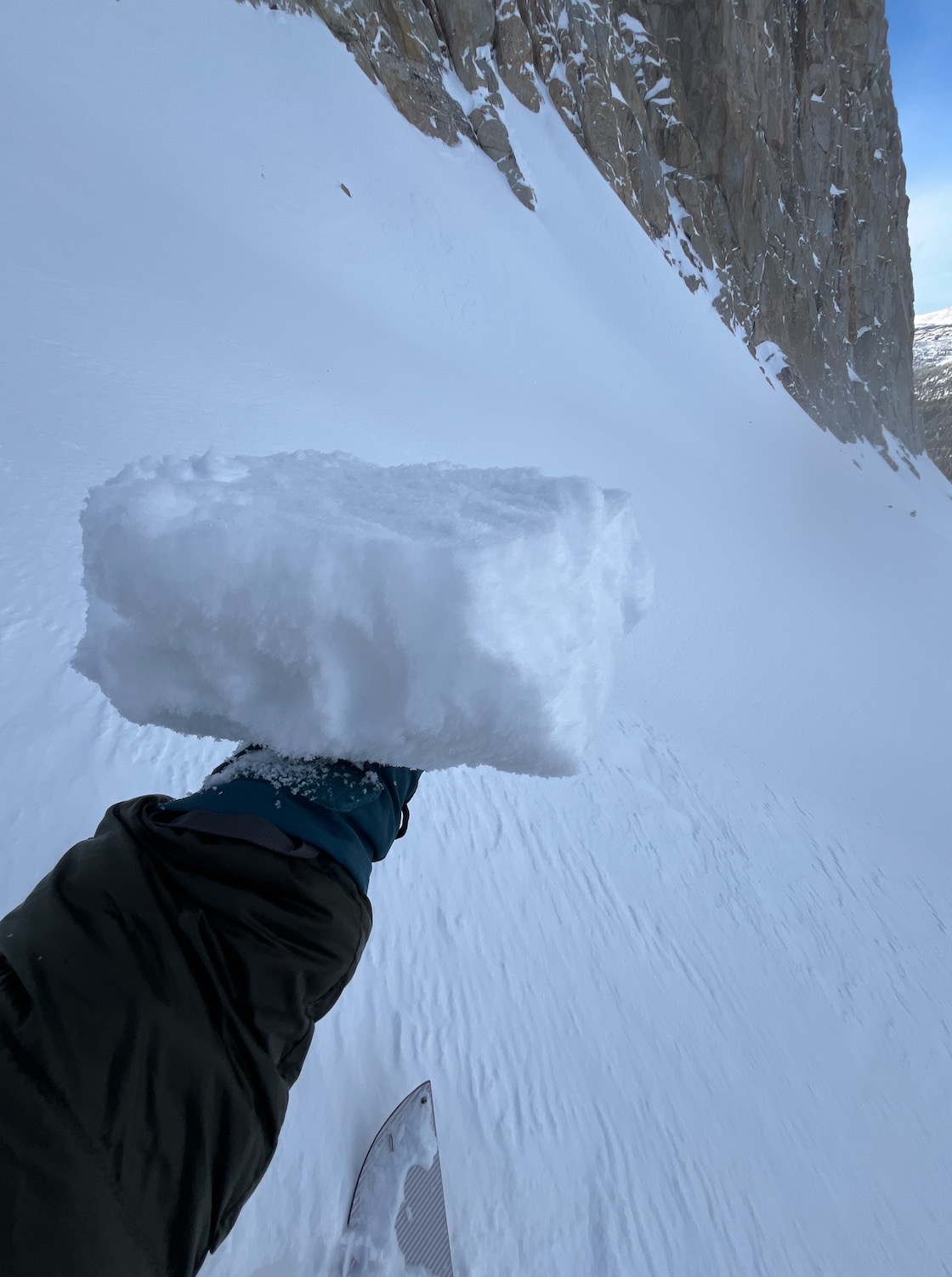
- WS range in thickness and hardness. Up to 25 cm deep in BTL/NTL terrain, up to 4F hardness. Up to 10 cm ATL, up to 1F hardness. Most WS observed today was reactive to stubborn.
- WS mostly sits on top of soft snow/decomposing fragments (snow from the 12/24 storm.) Some areas (solars/lower elevations) have a crust beneath these grains. Protected northerlies and slopes above 10000' did not have that crust.