
Quick report
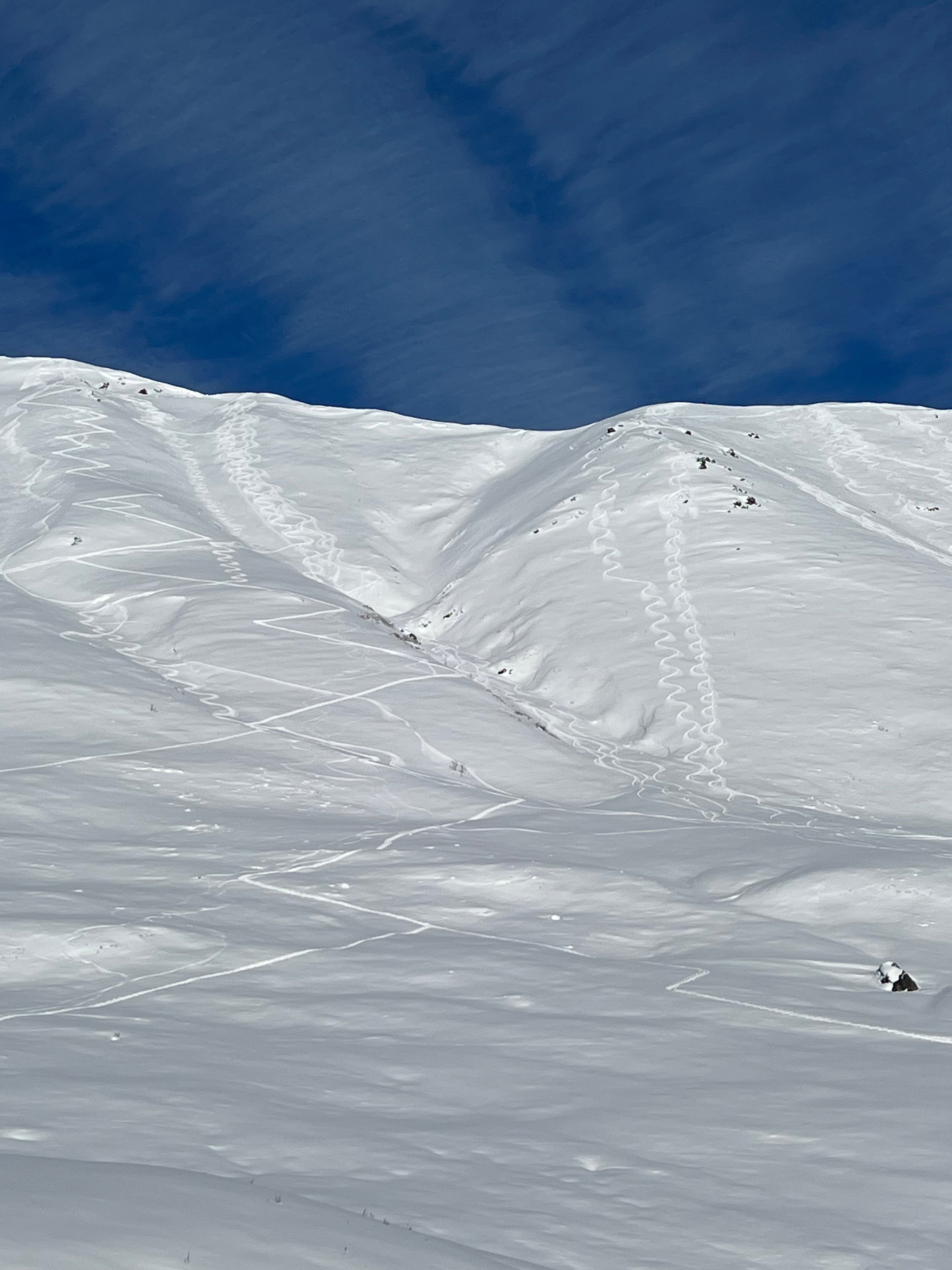
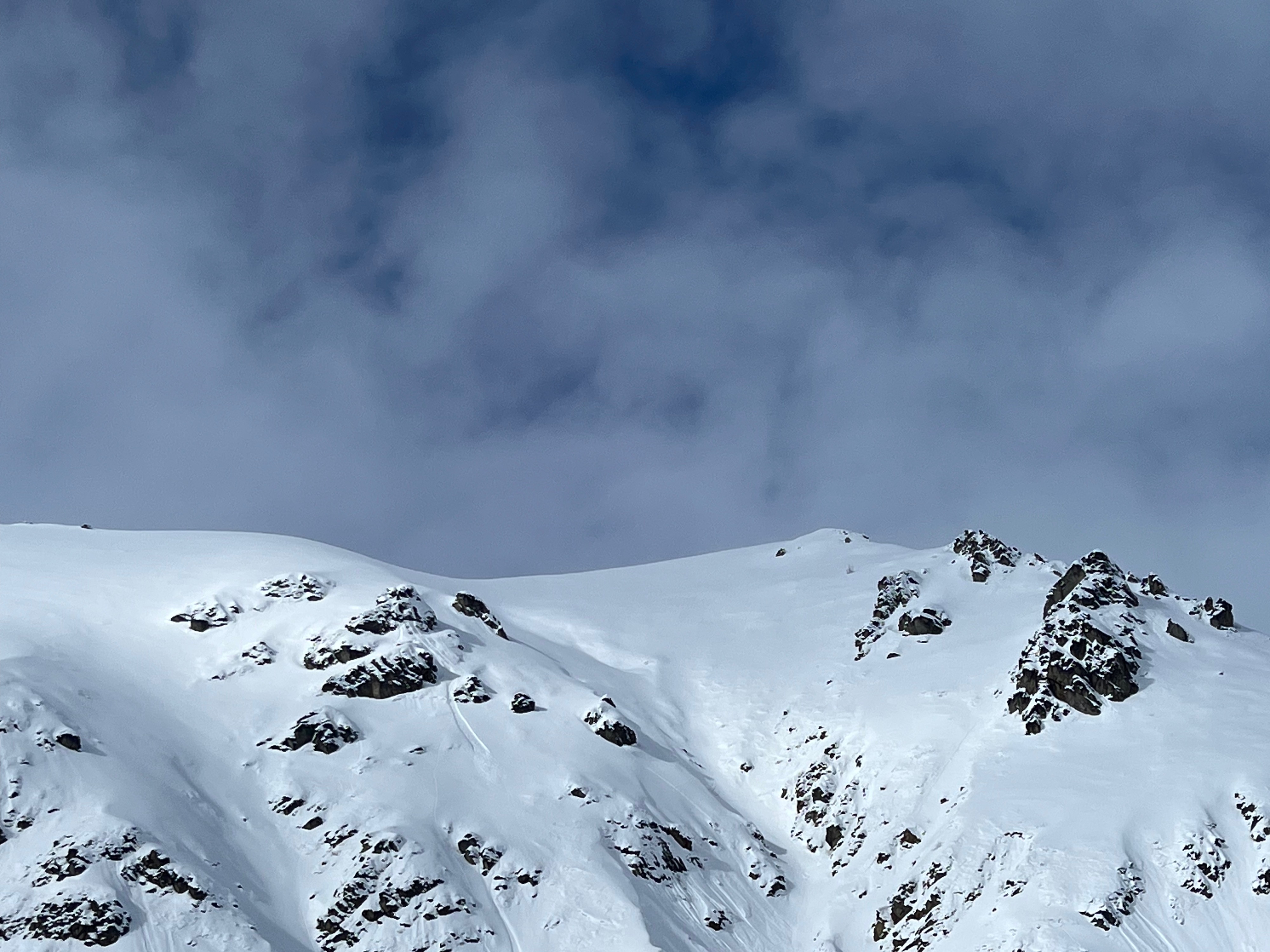
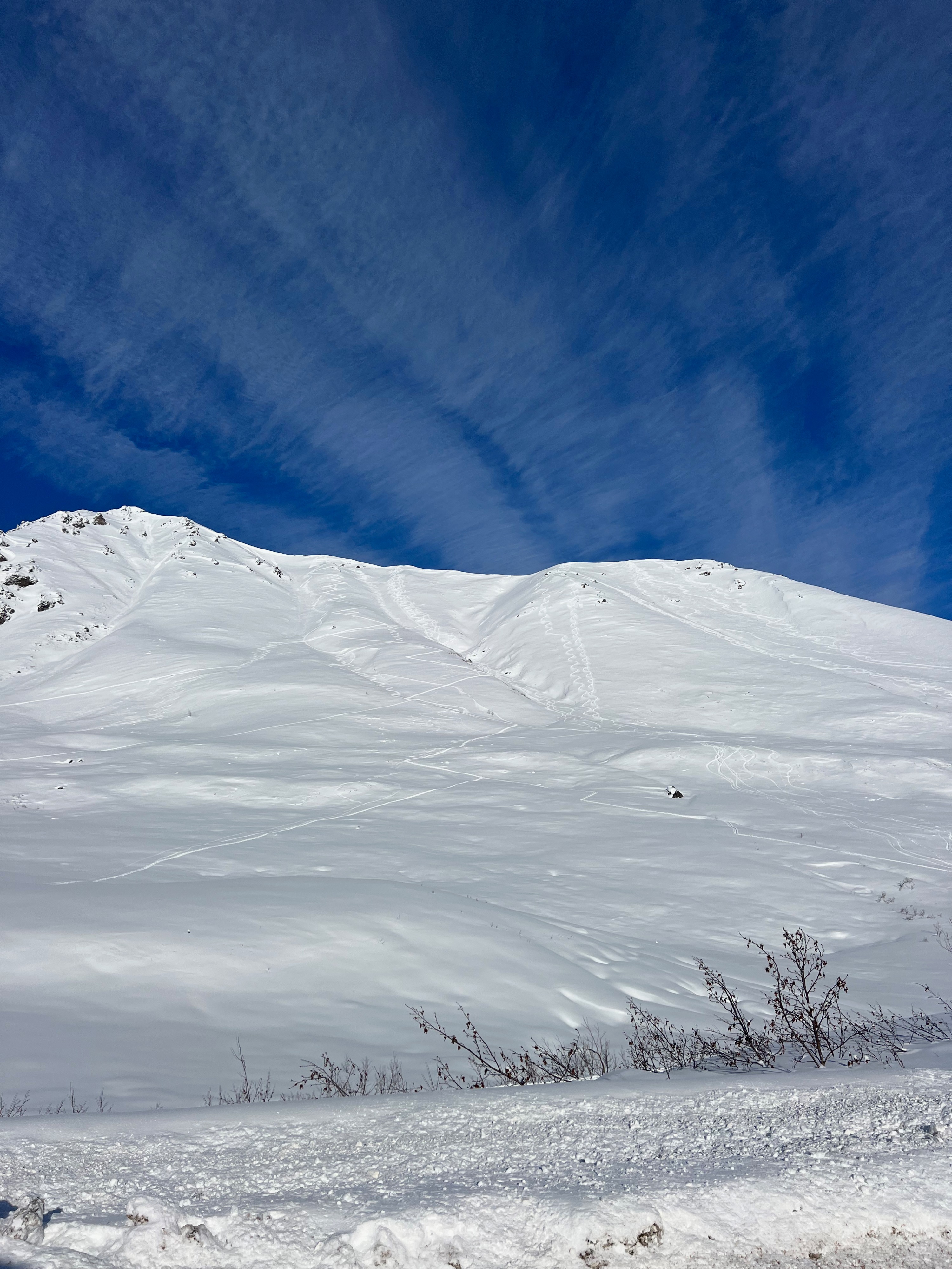
We did not observe signs of instability outside of loose, fist hard storm snow over facets that were easy to sluff on firm crusts or buried wind slabs. Avalanches in the last 48 hours: A small persistent slab avalanche was triggered by a party of three boot packing up Black Prospect couloir yesterday. See observation from yesterday by clicking here: https://hpavalanche.org/observations/#/view/observations/3ca30d80-3ae0-4950-899e-346a58744214
Weather
- Cloud Cover
- scattered
- Wind Loading
- none
- Recent Snowfall
- 4-7cm/1-3"
- Snow Avail For Transport
- moderate amounts
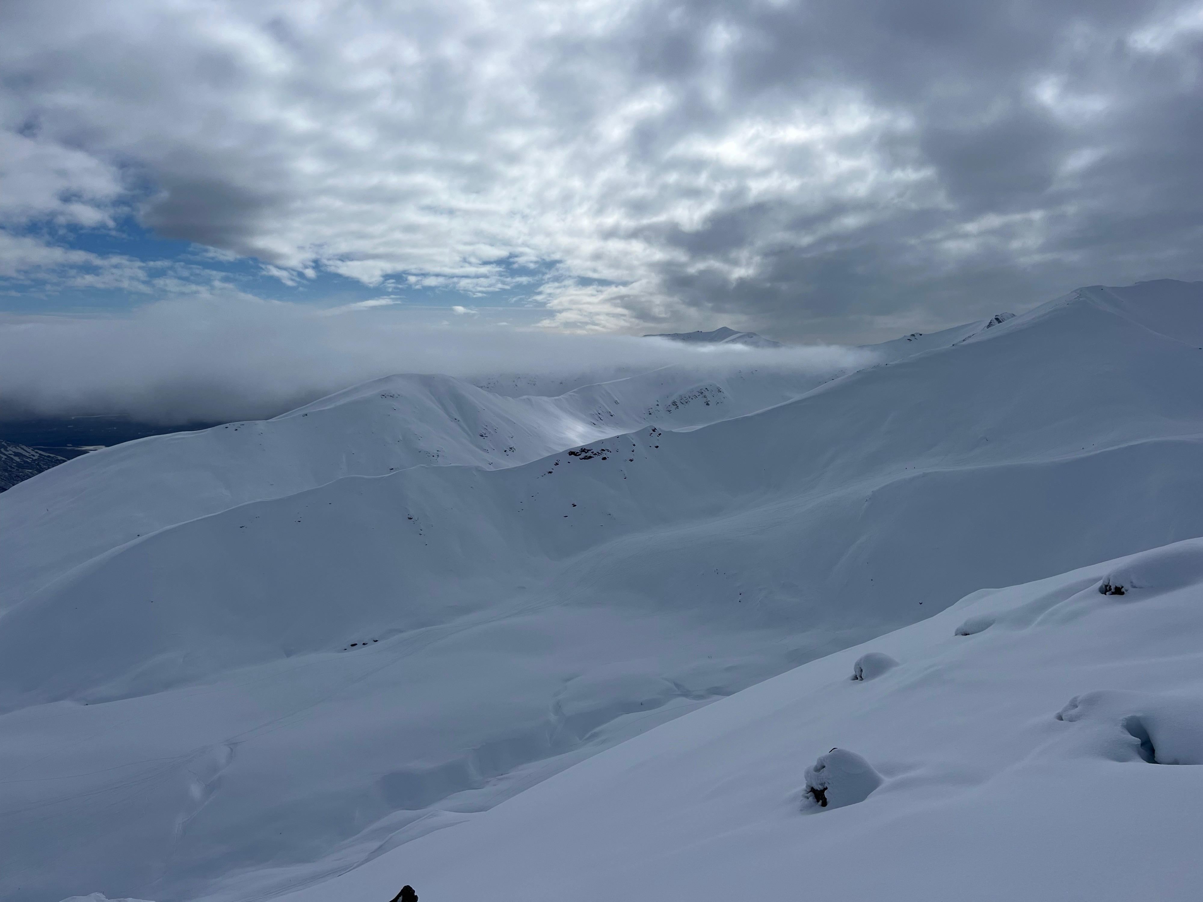
The morning saw full clouds and snow flurries. Around 1300, the sky was broken and visibility was drastically improving. By 1430, the sun was fully out. Snow surfaces remained cool and we did not see any solar instabilities in the upper snowpack. Winds remained calm throughout the afternoon.
Snowpack
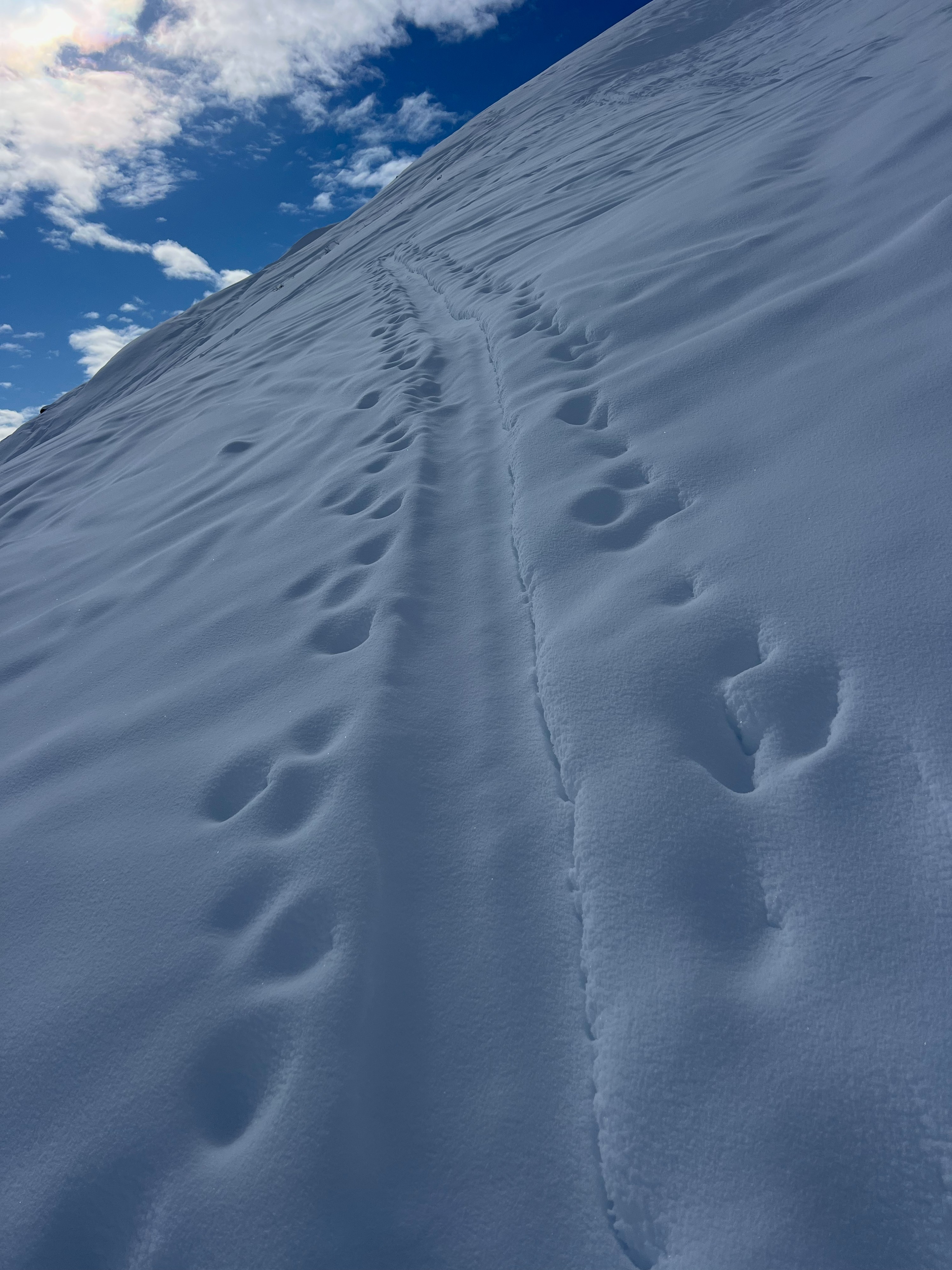
Surfaces were soft with no detectable crusts at mid-upper elevations. Below 3,500', there was a noticeable crust below ~8" of cumulative gradual snow that fell starting on 3/6 with 4-6". In places that are more faceted, the new snow and existing faceted snow blend together with subtle to imperceptible hardness change: pole plant tests in these locations make it feel like 20-45cm of rightside up pow. In reality, it's a little less than a foot of trickled-in storm snow from the last 10 days plus facets: the Hatcher Pass special "square pow" can work in mysterious ways.
In areas that had crusts, it was easier to initiate small storm snow+facet sluffs in steep terrain.
Right below ridgeline in Eldorado Bowl at 4,300' on a NW aspect on a 38* slope the height of snow was greater than 500cm (a 320cm probe+2/3rds). While this area has atypical snowpack depth for the forecast area, it's a good reminder that this season is actually not that bad! Coverage is respectable and we have benefited from enough snow to keep persistent layers near the ground in check. The upper snowpack (top 100cm) consisted of wind packed rounds which transitioned to 4F rounds and fist hard new snow.