
Quick report
Despite the period of good stability, our weak structure has a smattering of current and future weak layers from surface facets to depth hoar at the bottom. While users have made full use of the settled conditions to step into incrementally more consequential terrain, it continues to be worth stressing that even a small input of snow and wind is likely to put some reactivity back into our snowpack.
No instabilities observed today.Weather
- Air Temp
- 3
- Cloud Cover
- clear
- Wind Loading
- none
- Rain Elevation
- N/O
- Recent Snowfall
- NO
- Snow Avail For Transport
- small smounts
Yet another day of clear, calm, and cold. Colder today than yesterday with temepratures hovering right around 0. Solar input was consistent and strong today (see "snowpack" below). Calm to light and variable SE winds.
Snowpack
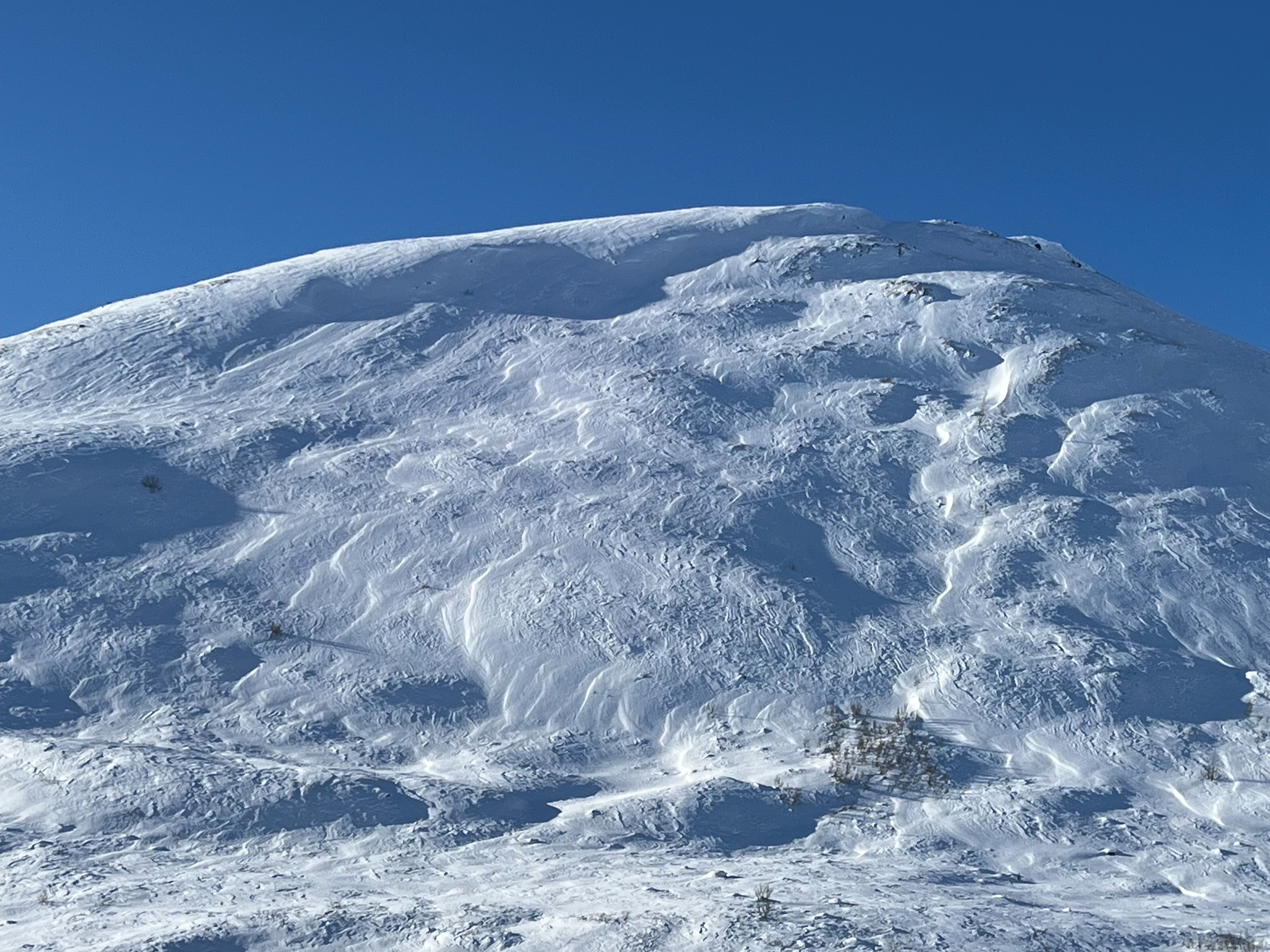
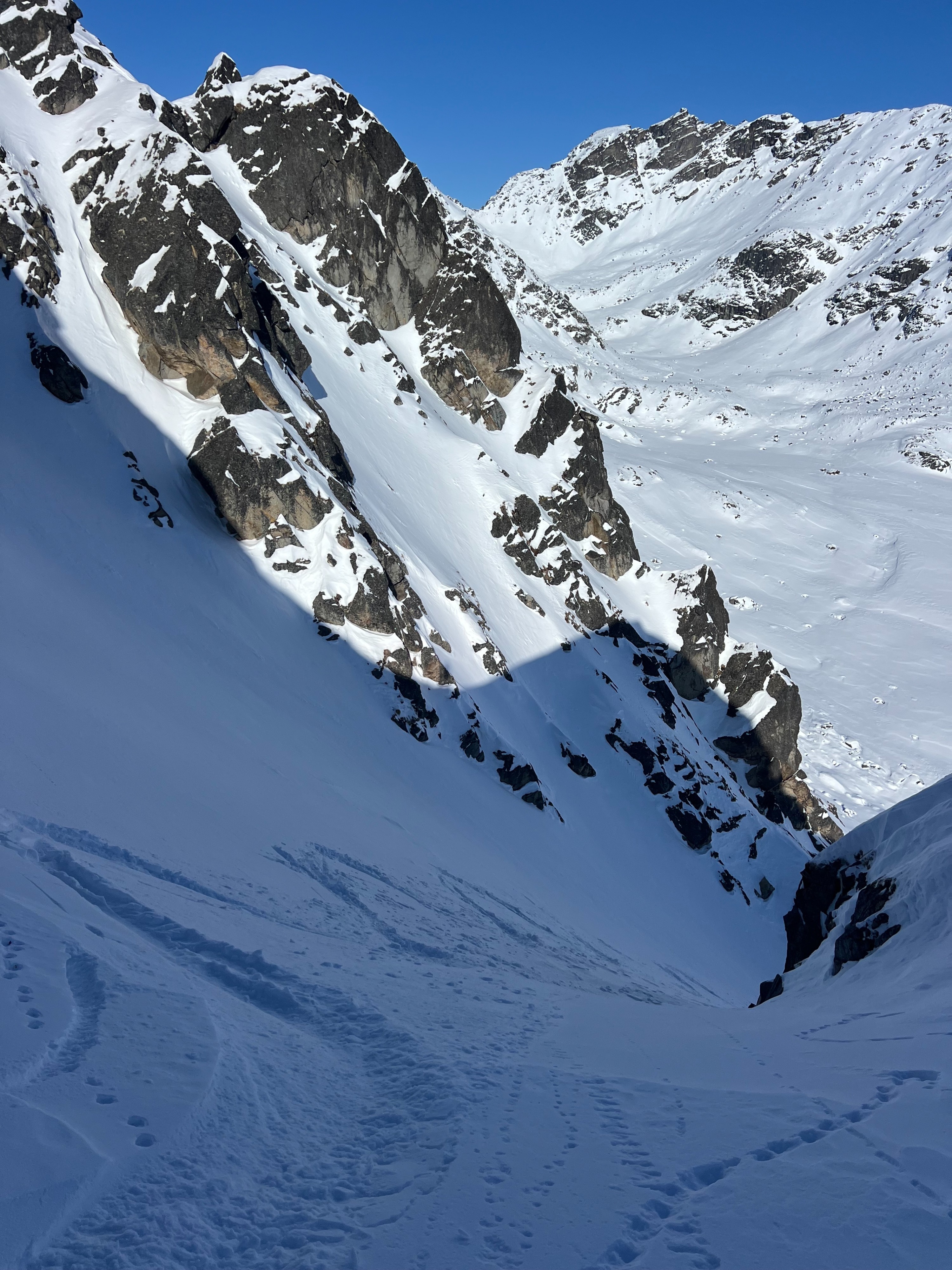
Snowpack depth varied from around 85 to 150cm. Old wind slab avalanche debris in our SE gully was noticeably faceted--we could easily drag a pole basket through chunks of old slab.
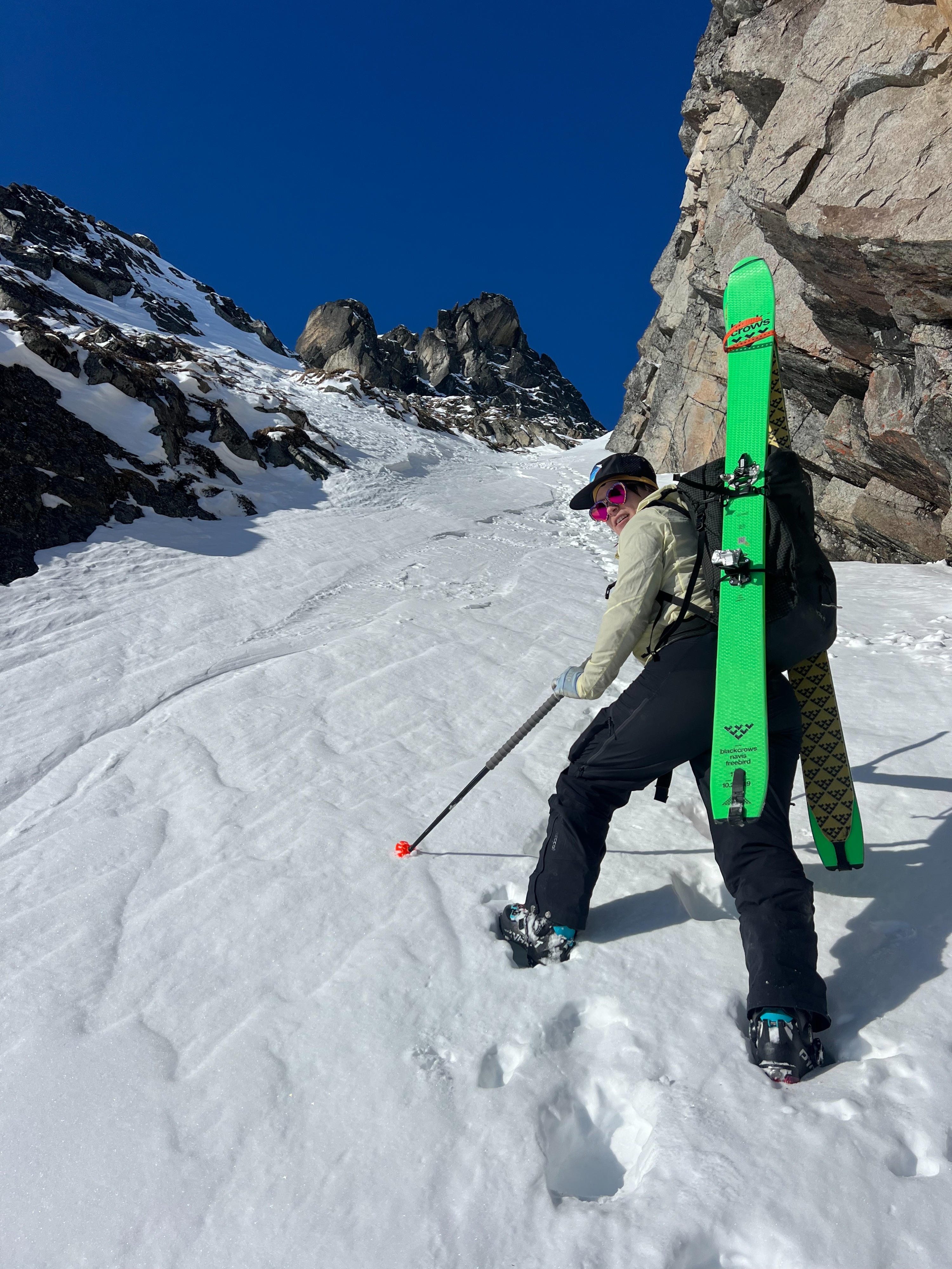
Sheltered norths harbored deeper, soft, faceted snow, but with a combo of old, firm wind slab and natural avalanche bed surfaces below. This made for some techy and consequential skiing, but for every puckery turn was an edgable one--truly variable.
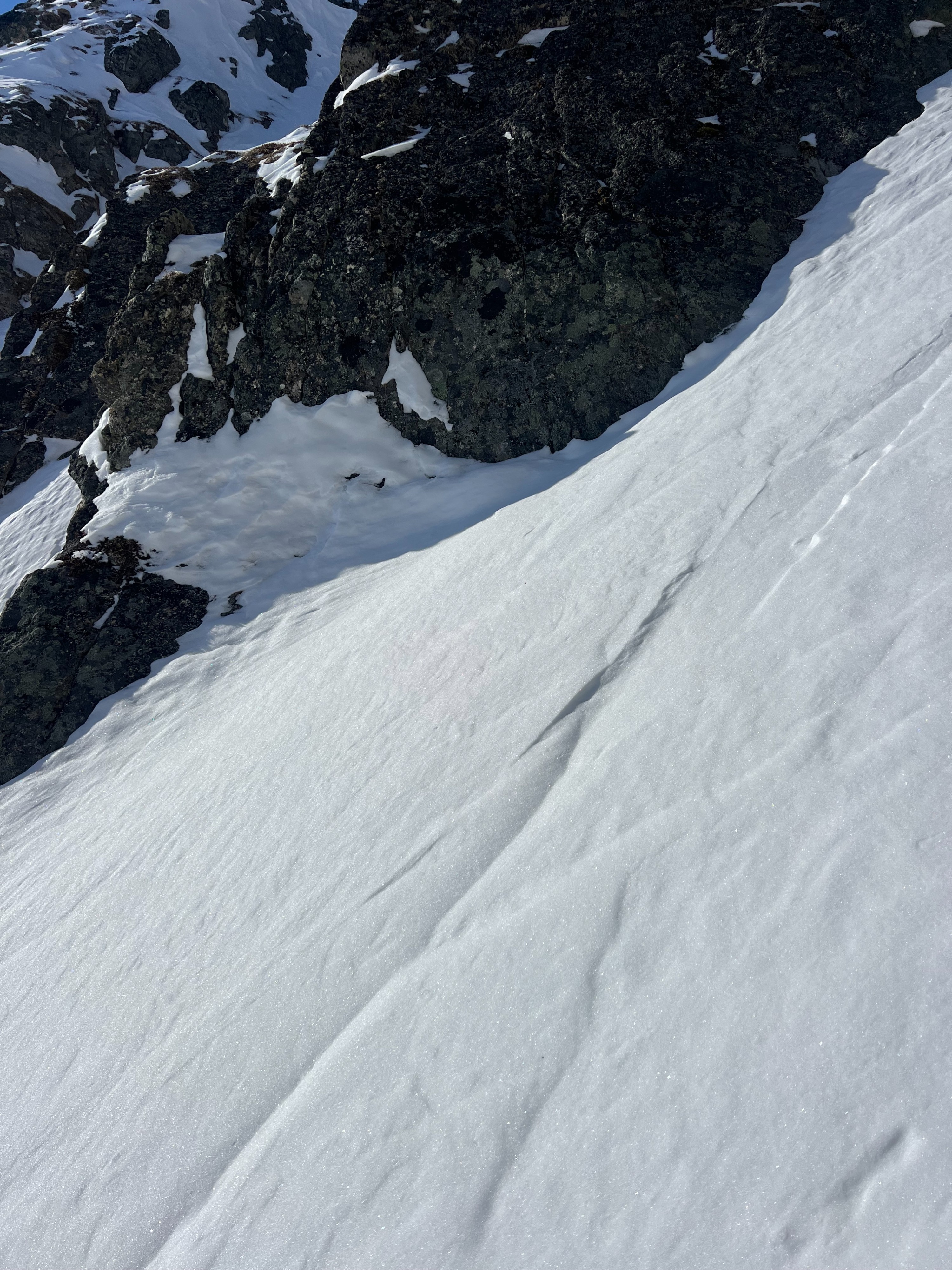
On both SE and NE aspects, small 2-4" thick wind cookies were easy to break off. None of these chunks was larger than a few feet wide, but they were able to be broken up with hop turns and slide down hill. Definitely not an avalanche, but a hazard nonetheless in tight terrain.
By 1330 on our way out of the field, a thin, brittle sun crust had formed on southerly aspects around 4,000 to 3,800'. With temperatures at or below 0* F, there is another night of near surface faceting inbound, and this weak crust is unlikely to linger at upper elevations.