
Quick report
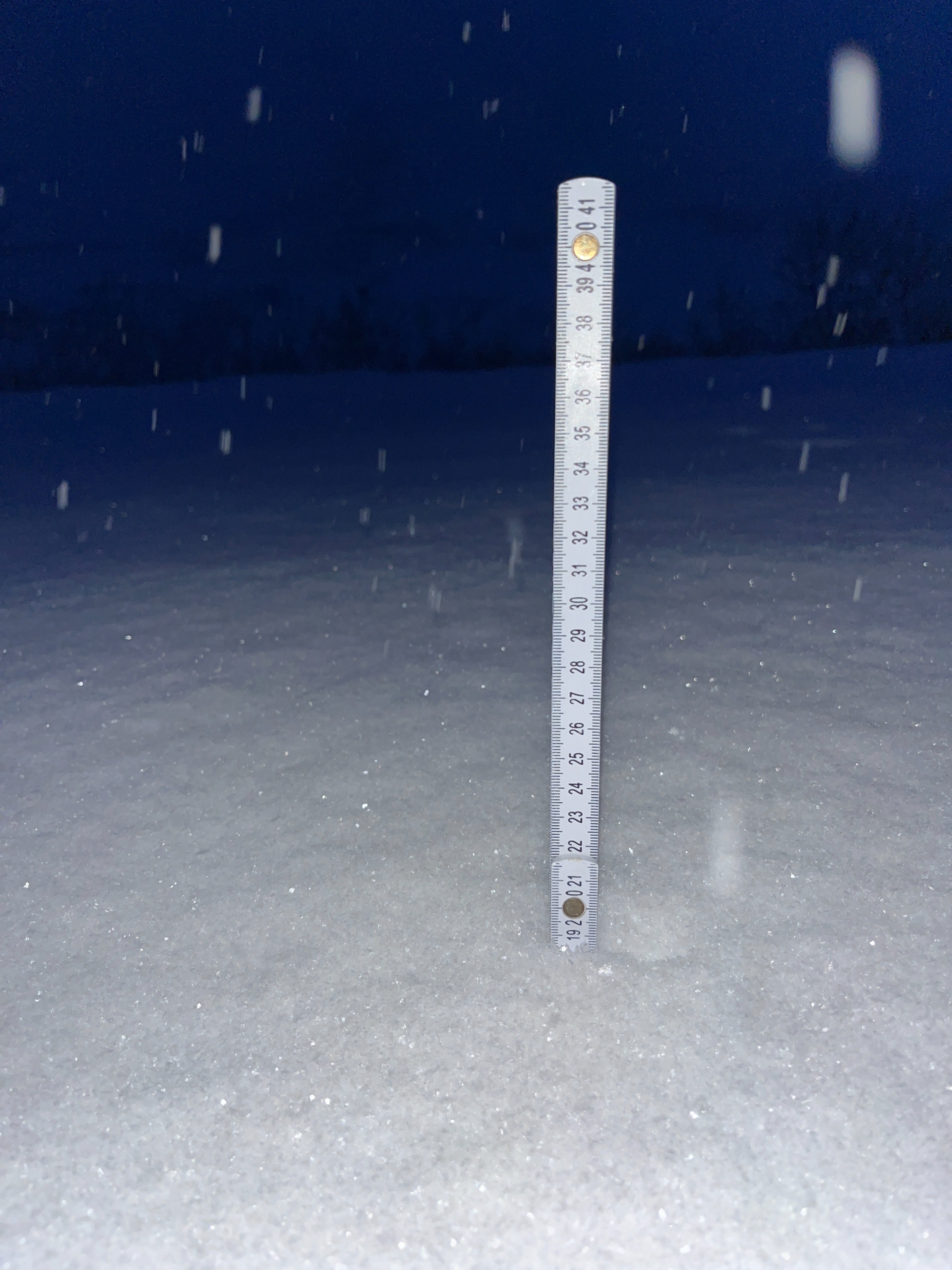
I found 6-8" of new snow that has fallen over the last 24 hours. Storm snow was distributed well, with the same 6-8" found in the IM parking lot, and at 3700'. This new snow is dry, low-density powder. Recent snow fell on a variety of old surfaces, from shallow, weak sugary snow near the parking lot, to stiff, slick old wind slabs near the middle and upper elevations —especially near convex rolls, or gullies.
Weather
- Air Temp
- 16
- Cloud Cover
- overcast
- Wind Loading
- none
- Recent Snowfall
- 15
- Snow Avail For Transport
- moderate amounts
Overcast skies, light snowfall, and calm winds. Found 15-20 cm of low-density snow that has fallen since late Sunday/early Monday.
Snowpack
Surface: 15-20 cm of low-density snow has fallen in the last 24 hours. This new snow fell on a variety of old snow surfaces, ranging from loose sugary facets to thin, breakable or thick, stiff old wind slabs. Recent snowfall is light but settling fast.
Mid-pack weak layers: I dug on a previously wind-loaded west aspect around 3700'. Under recent snowfall, a knife-hard old wind slab rests above large grain weak snow. These weak layers produced poor results in stability tests, ECTP21 @65 HS: 109. The bottom third of the snowpack was made up of faceted old wind slabs and weak snow near the ground.