
Quick report
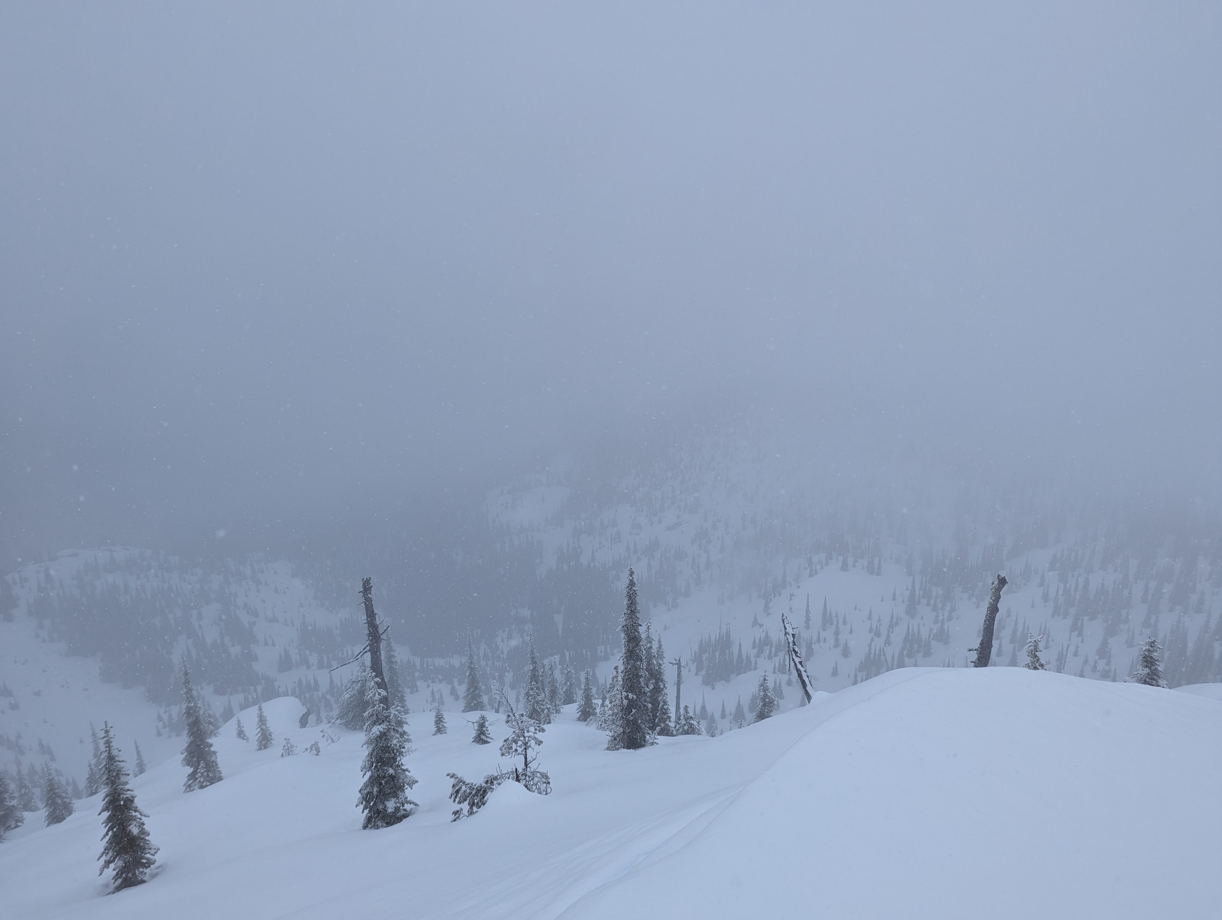
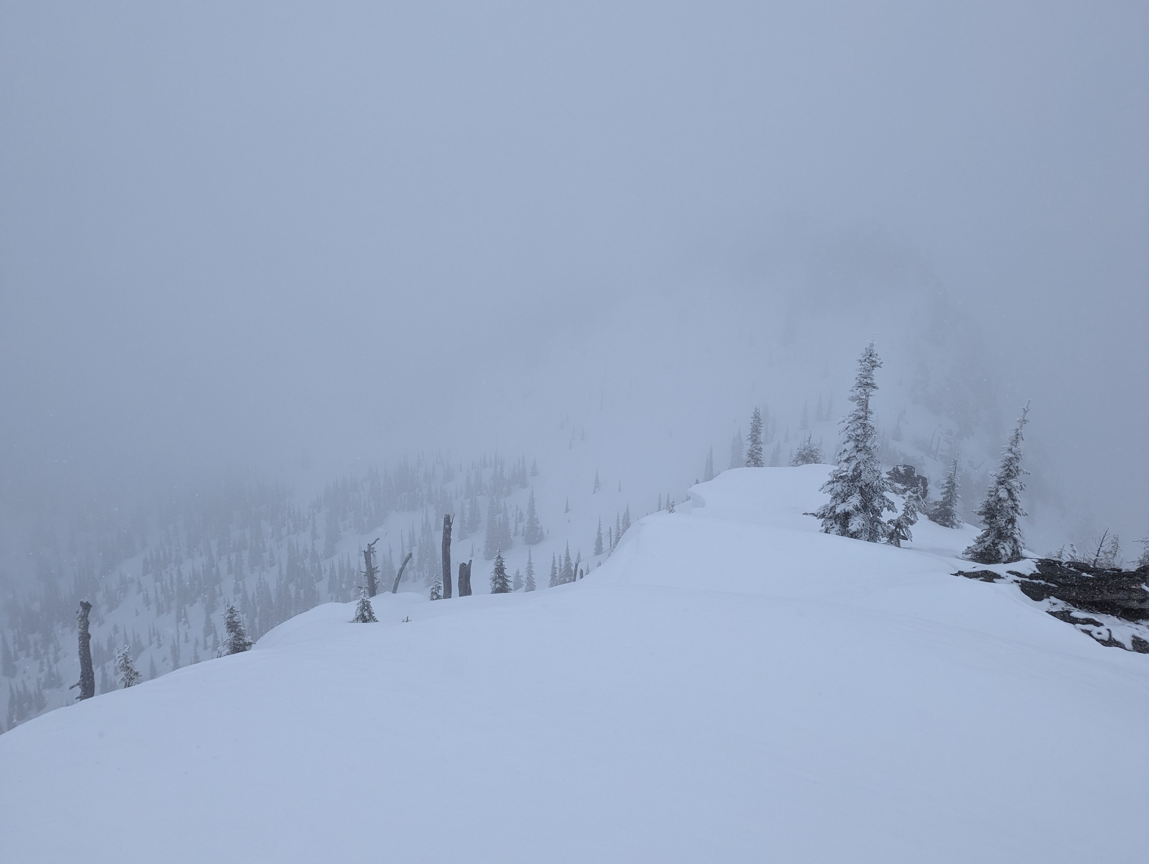
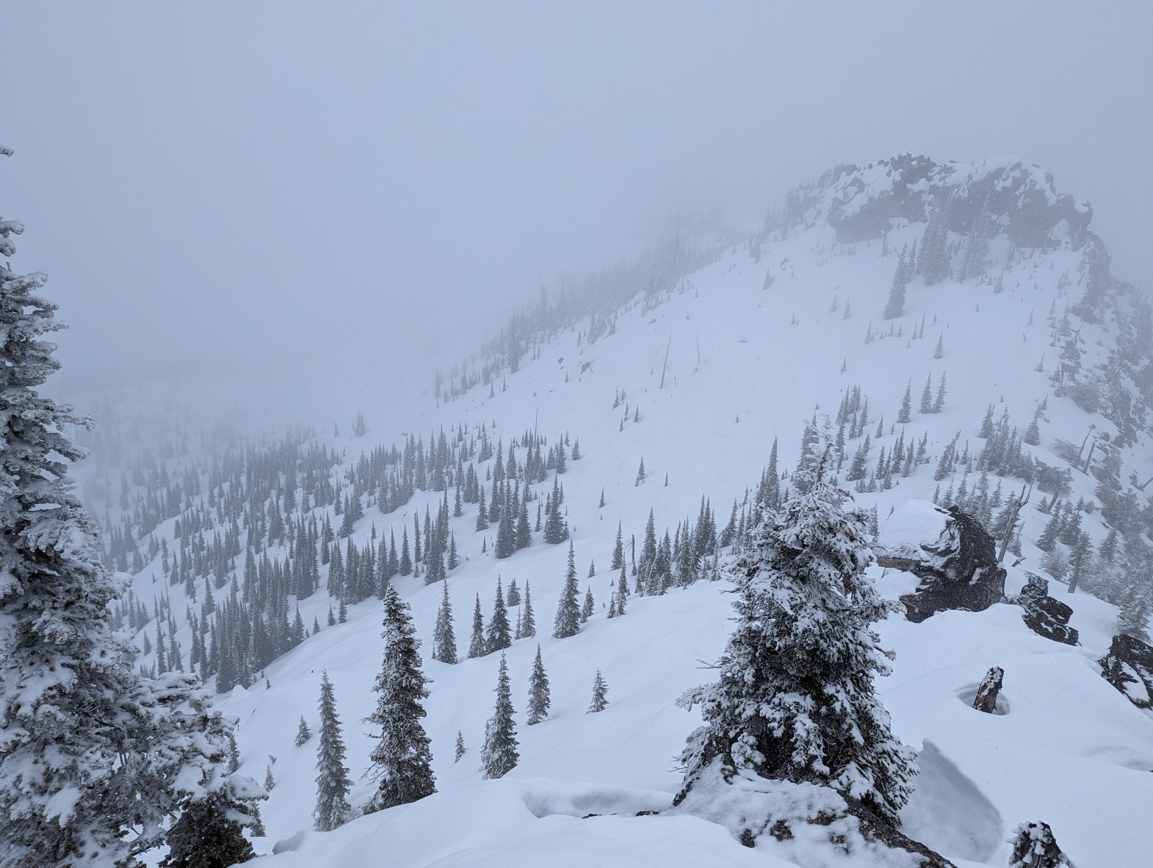
Found a supportable crust with a few inches of new snow on top. Winds out of the NW, but we did not observe much, if any, blowing snow. Around large boulders and rock out-croppings the snow was still very soft and thin despite the cooling temperatures. Obvious wind drifts and cornices were observed on northern side of the ridge but they were rock solid and no obvious signs of previous collapses from the warm temperatures.
Weather
- Air Temp
- High 20's
- Cloud Cover
- overcast
- Wind Loading
- none
- Rain Elevation
- ~3500ft
- Recent Snowfall
- 5cm
- Snow Avail For Transport
- small smounts
Felt like winter had returned above 4,500 feet. Temps were in the high 20's with overcast skies and snowing heavily. There was light to moderate winds out of the NW.
Snowpack
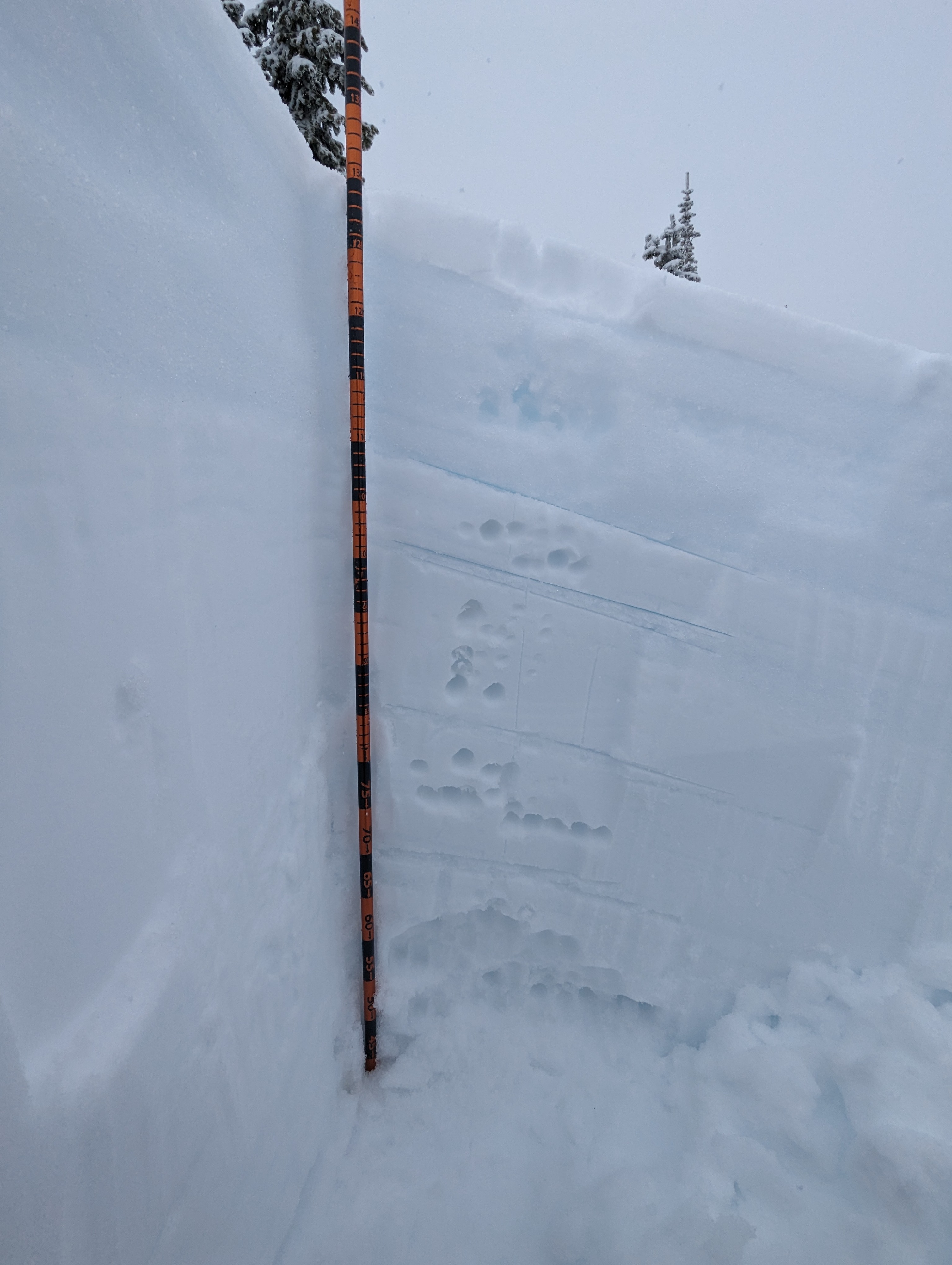
Snow depth at 6200 ft on NE aspect (25 degree slope) was 135cm. 5cm of new snow over 20cm pencil hard rain crust. Also observed 1-2 cm melt/freeze crusts at 35cm and 50cm down which were sandwiched between one finger moist snow. The bottom 20cm of the snow pit we found softer, fist hard snow. Test results: CT12 in the top 10cm and CT29 at 35cm both Q2. ECT showed similar results with no propagation. The snow closer to the ground is very weak and sugary still, but looked to be rounding due to the previous warm temps and rain.