
Quick report
The large amount of snowfall during the end of December is overall consolidating and strengthening, yet some newer snow instabilities may be found in the upper snowpack. In specific upper elevation spots you could find wind stiffened slabs over a recent crust. Reduce this current risk by planning and evaluating your route through terrain.
Weather
- Cloud Cover
- obscured
- Wind Loading
- light
- Recent Snowfall
- 1-4 cm since 1/6
- Snow Avail For Transport
- small smounts
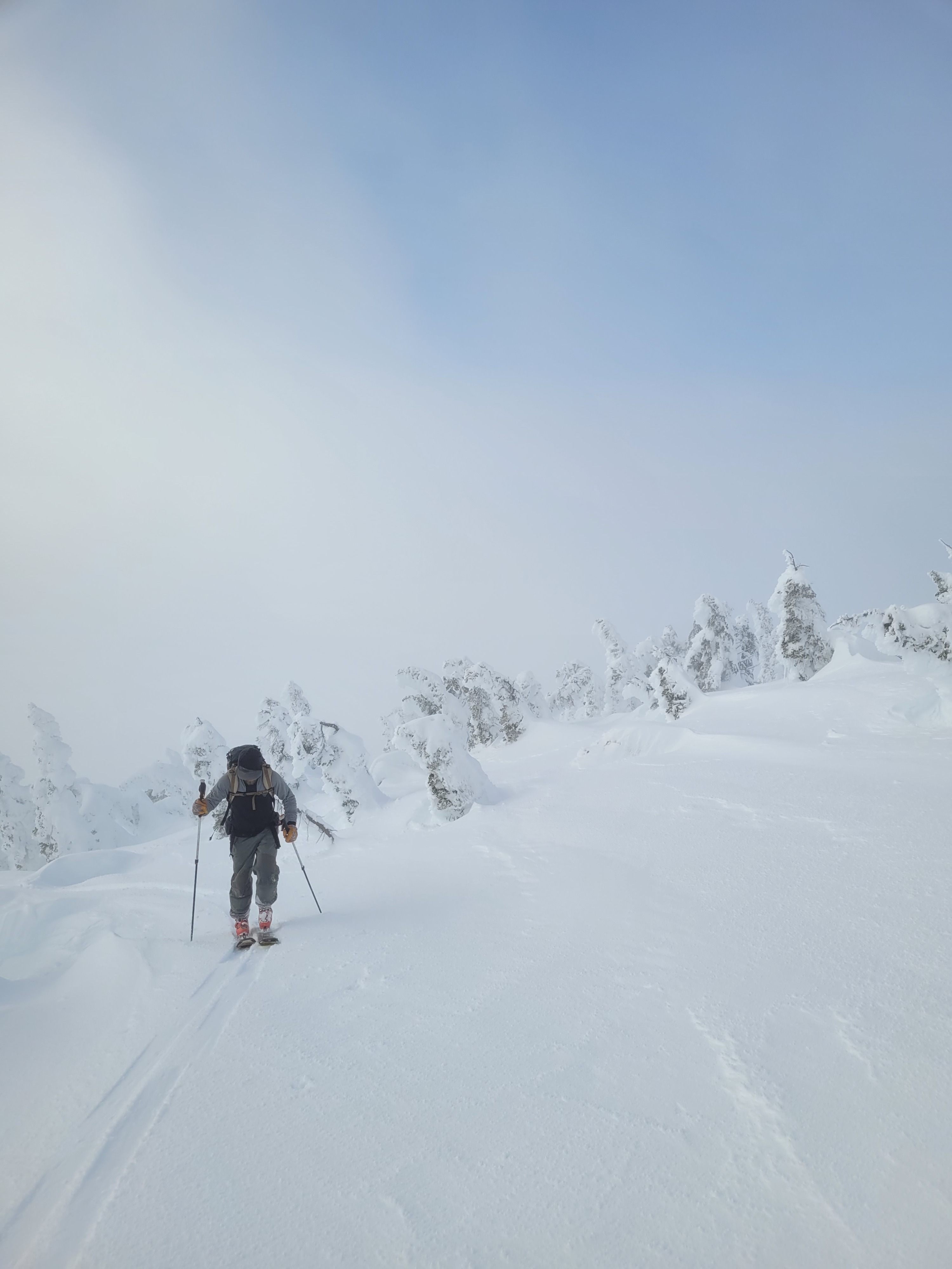
Foggy day with low visibility, no precip. Clearing fog, some sun and light Westerly winds at 7500’ ridgeline.
Snowpack
We traveled between 5500 and 7500’ and on Southerly aspects up higher. Heavy fog limited views of nearby steep complex terrain. Light to medium recent wind effect on the surface and within the upper snowpack. We found a couple inches of light snow on top of a thin breakable sun crust on due south facing slopes (formed on sunny Monday Jan. 6). The sun crust was absent with a slight change in aspect or slope angle.
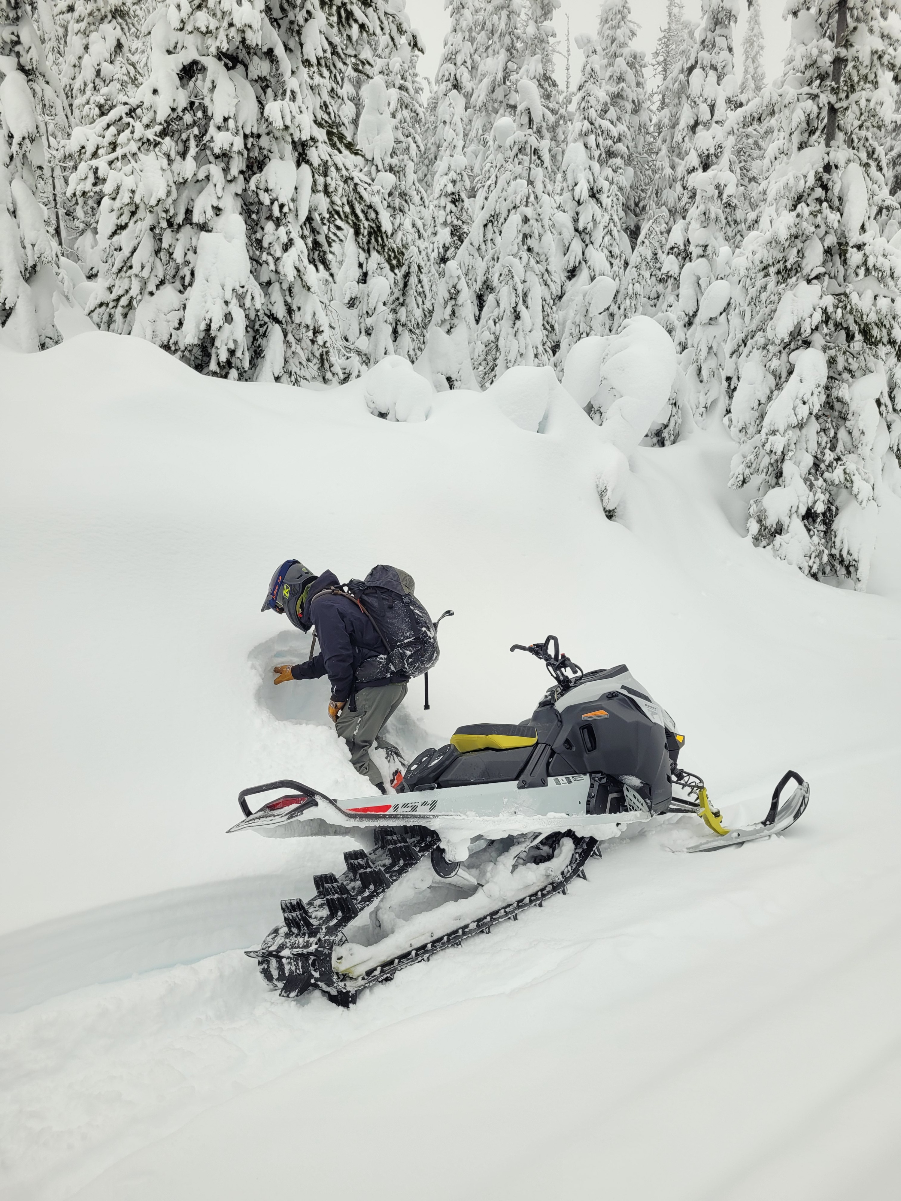
At 7500’ on E/SE aspect snowpack height is 210cm (~6ft). We found 2 thin crusts in the top 20cm (8in); the Monday 1/6 sun crust and likely the 12/29 crust. On these 2 interfaces we observed an easy shovel shear, and moderate hard resistant column test results (CT12 RP, ECTN13,14).
Down 35cm (~1ft) from the surface, we found a subtle storm hardness change producing similar stubborn test results (CT 19 RP, ECTN 25, and moderate to hard shovel shears). Lower in the snowpack, down 70cm, is another crust with subtle hardness change underneath and then P hard snow below.