
Quick report
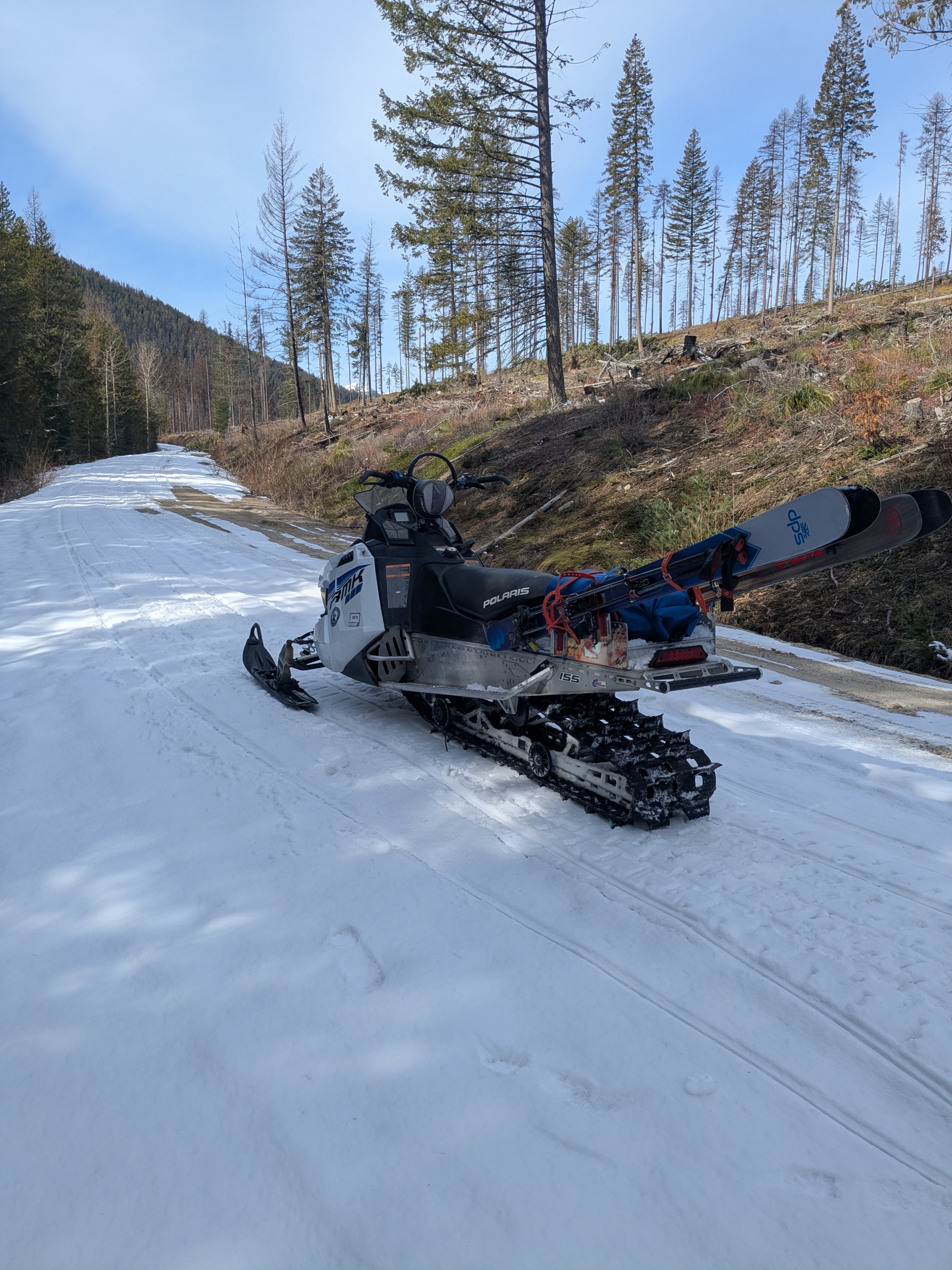
Despite abundant sunshine, cool temperatures kept wet snow hazards at bay above 6,000 feet. Below that, softening was just enough for nice corn riding conditions. While the snowpack is rapdily depleting below 4,000 feet, the higher you climb snow depths and snow cover extent still support winter-time recreation. The caveat, its becoming more challenging to reach the continuous snow line.
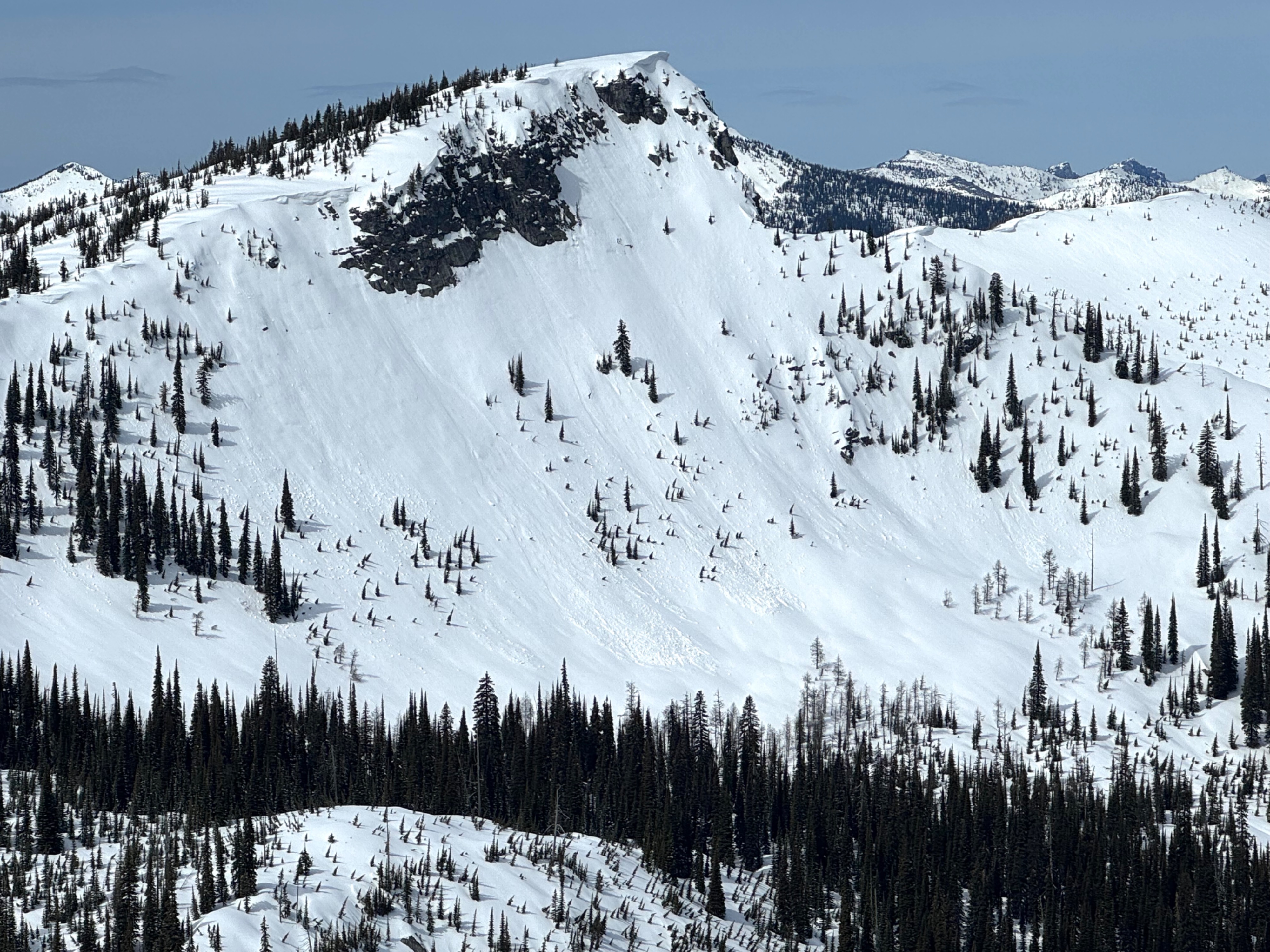
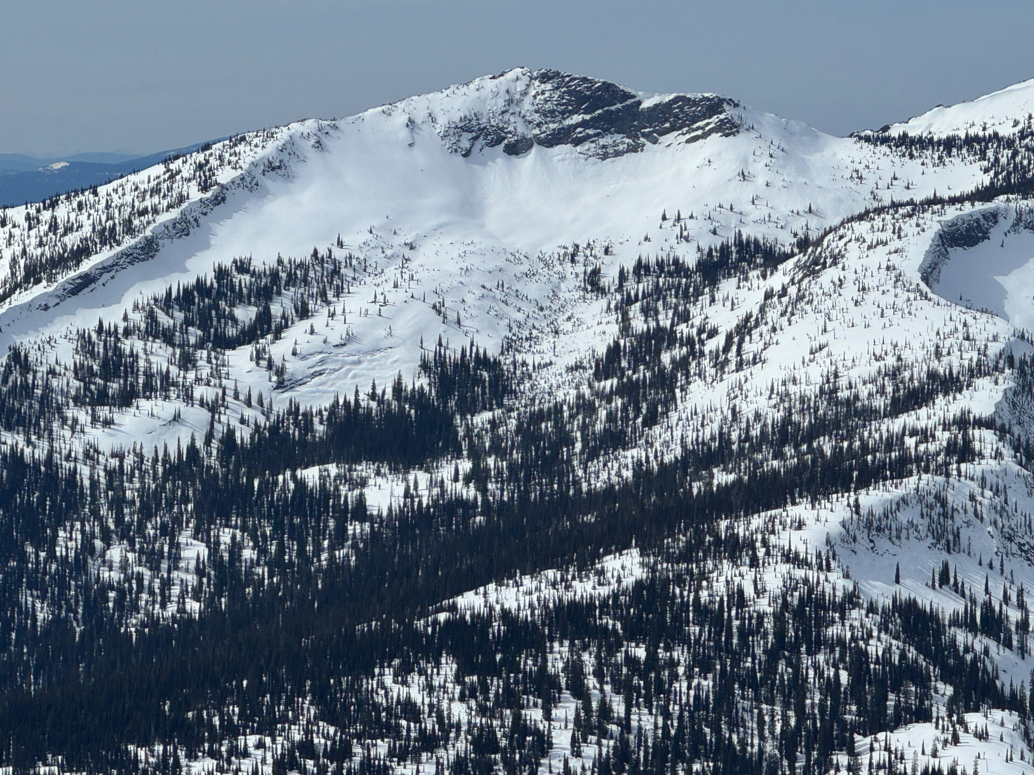
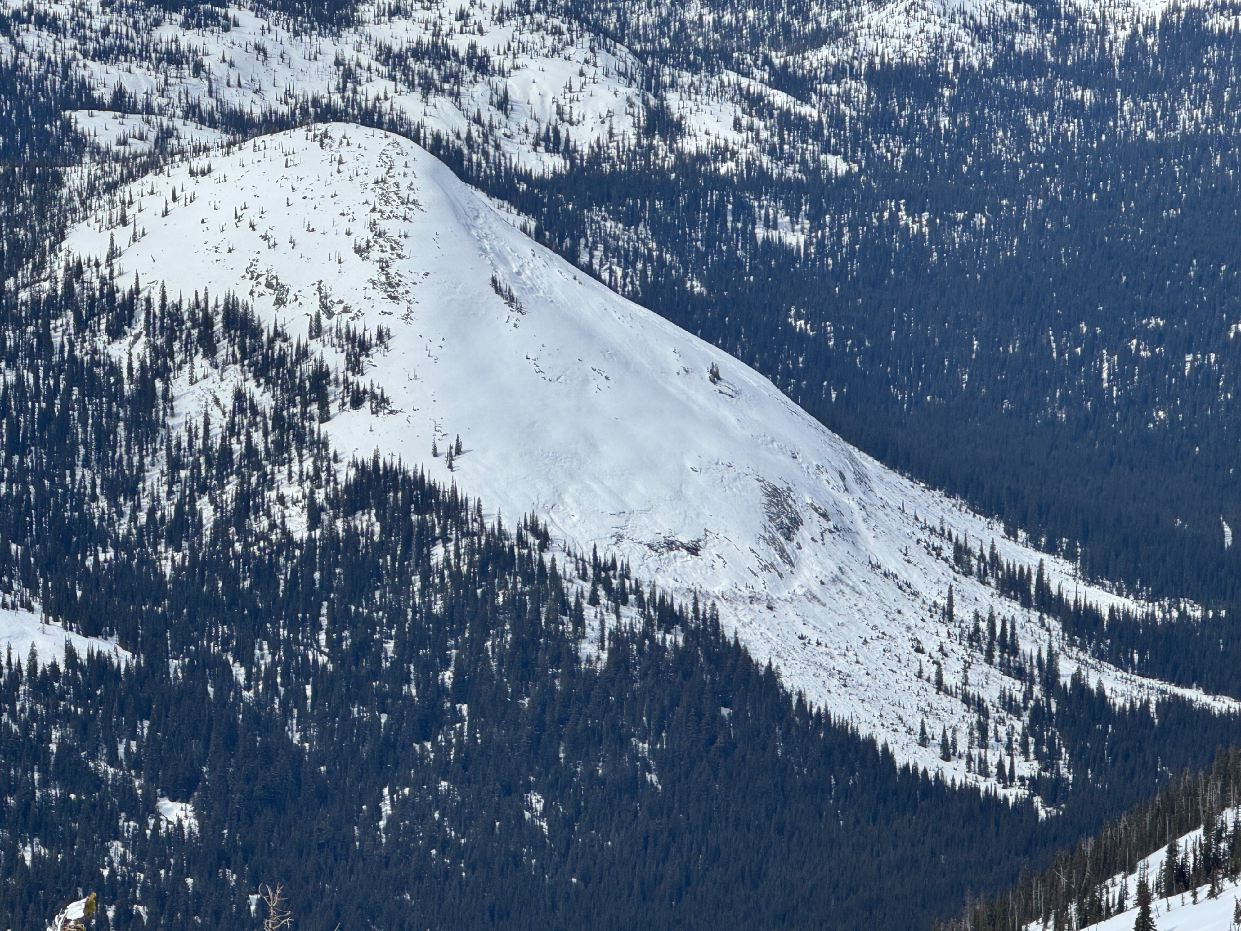
A few recent wet loose avalanches observed on steep southeast facing slopes. Estimated to have occured mid day on Monday March 30thWeather
- Air Temp
- 24°F
- Cloud Cover
- scattered
- Wind Loading
- none
- Rain Elevation
- not observed
- Recent Snowfall
- 15cm on Sunday. None overnight or during the day.
- Snow Avail For Transport
- small smounts
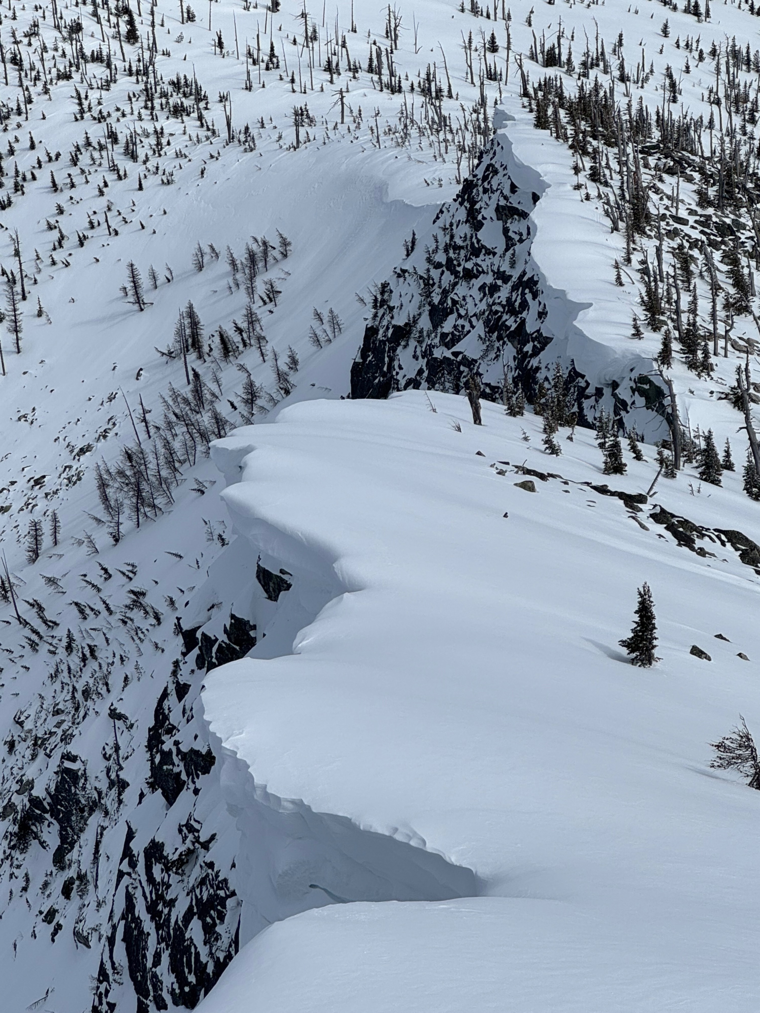
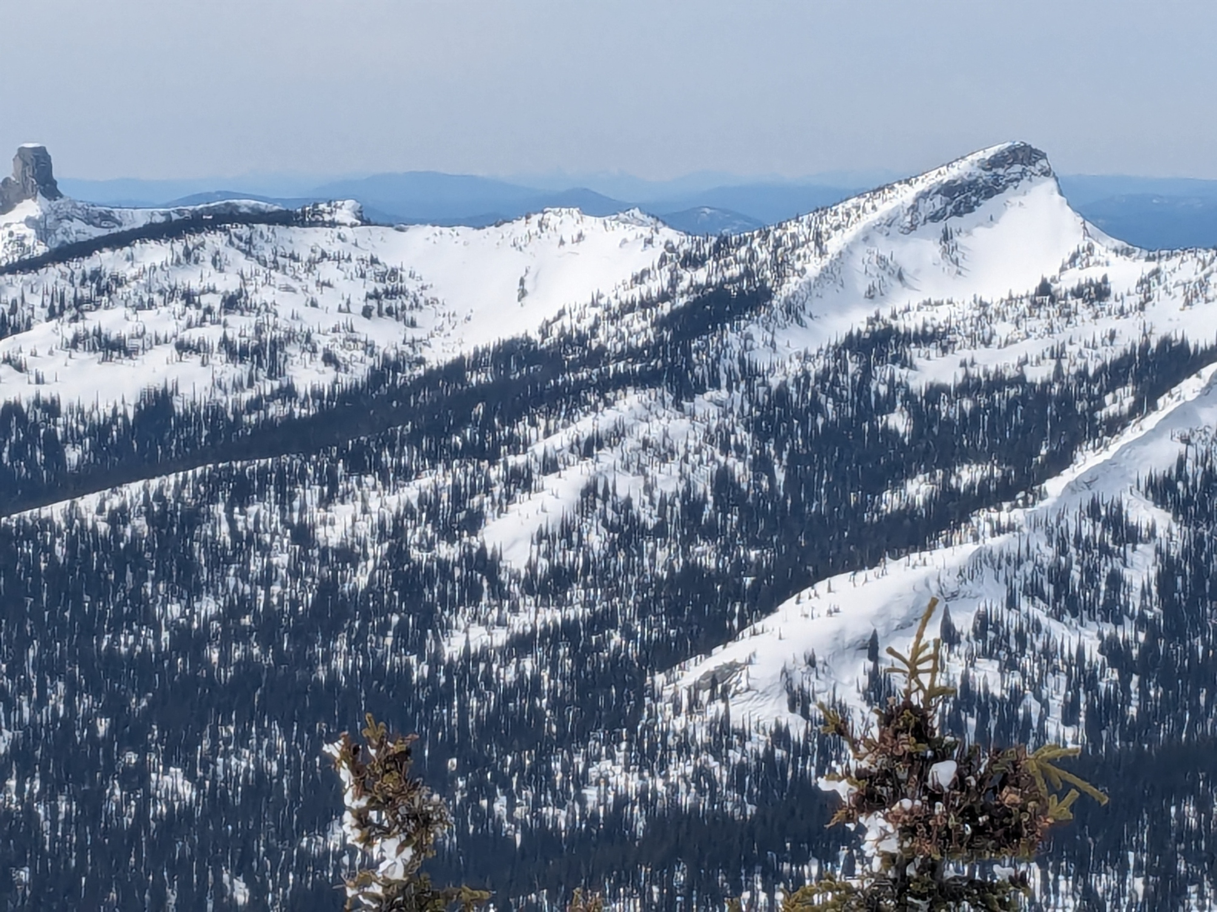
Very pleasant day in the mountains. Mostly sunny skies in the morning. Thin, high clouds moved in during the afternoon but the sun was still above to poke through. Winds were generally light with sporadic moderate gusts along ridges and on the summit.
Snowpack
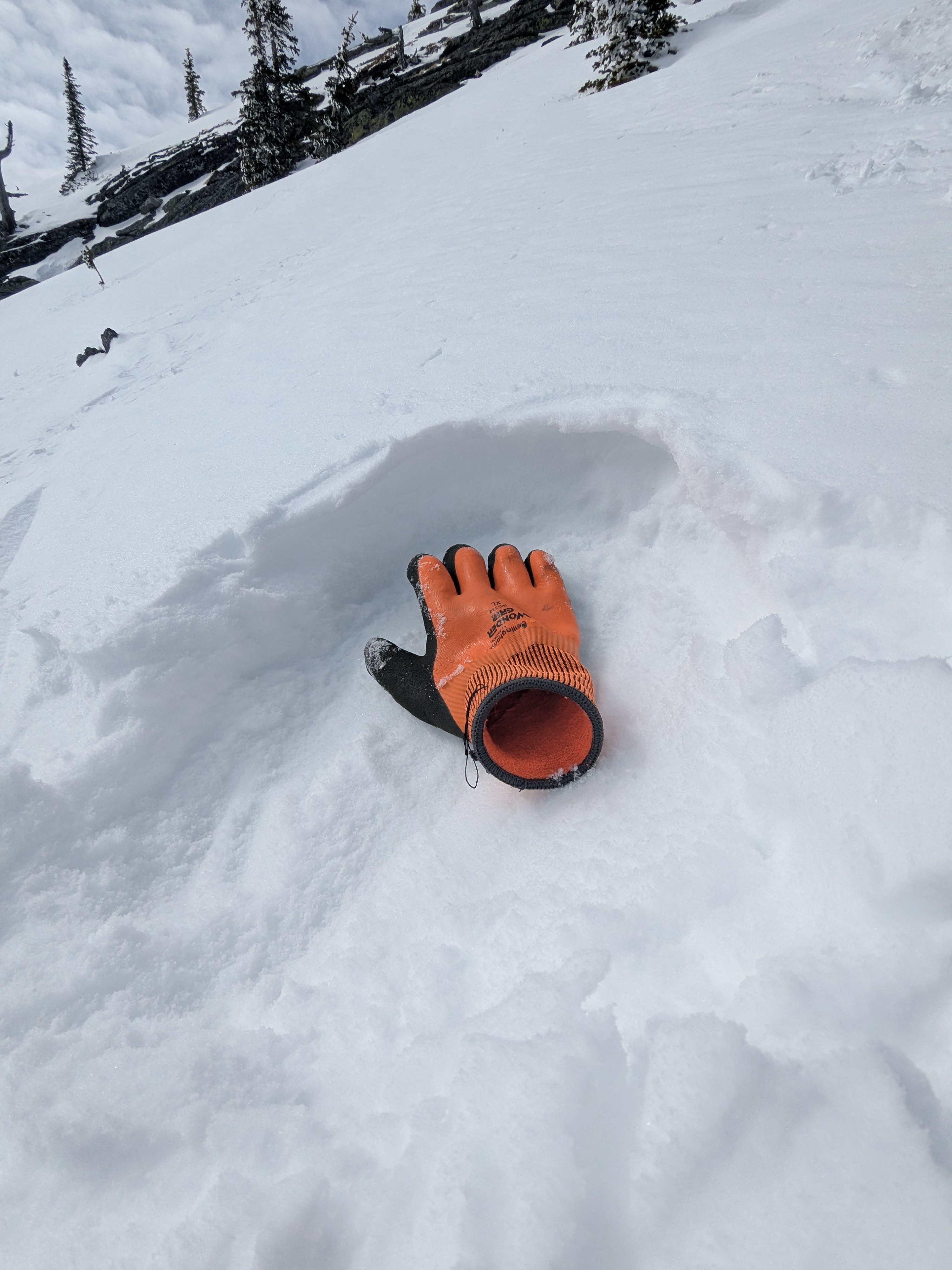
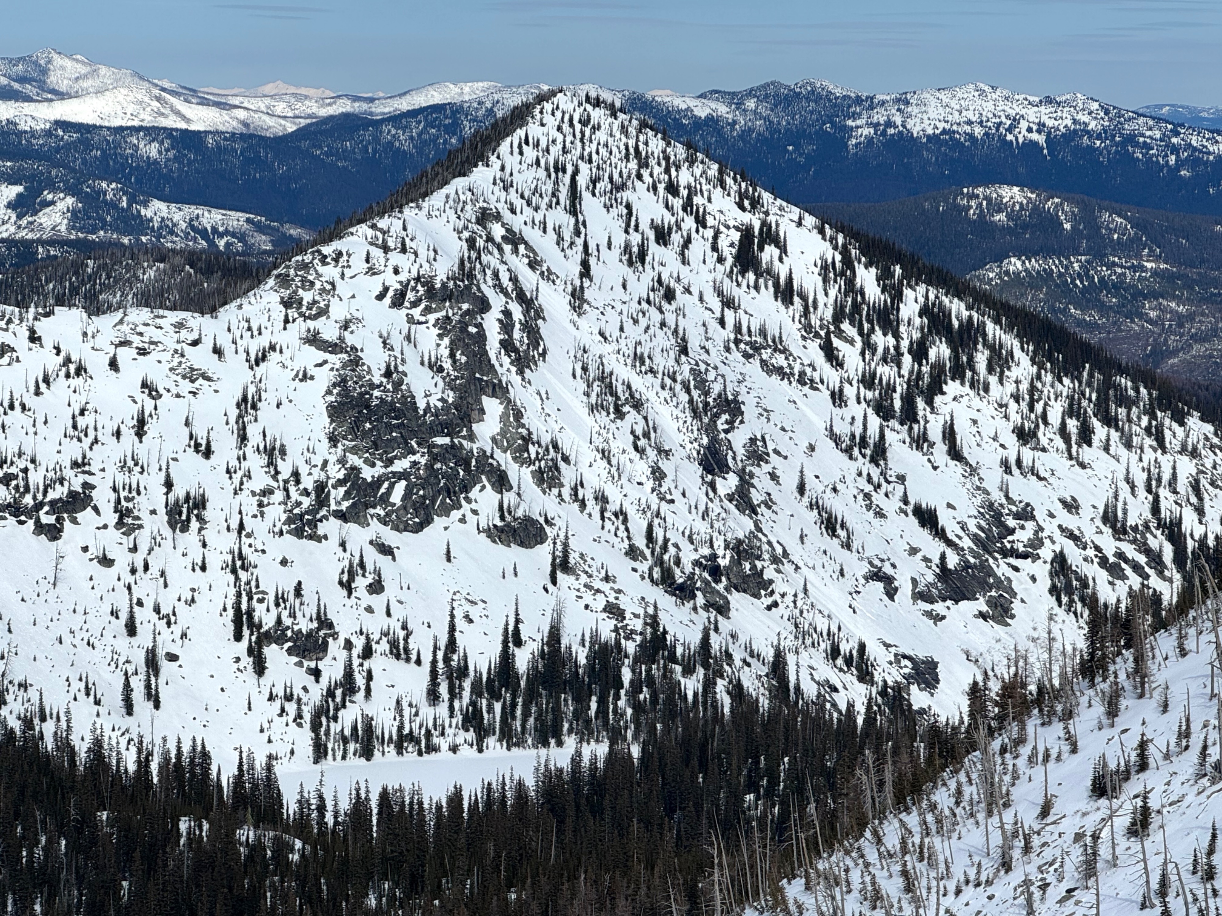
We found 4 to 6 inches of recent snowfall on east through south-facing slopes. Northerly slopes near ridges had slightly deeper amounts, but drifts were consistently around 8 to 10 inches deep and soft. There was a thin (less than 1 cm) wind skin capping dry snow, but it was hardly noticable with ski pressure. Overall, the new snow showed good bonding to the buried crust below. Underneath the new/ old interface, the snowpack is stout and refrozen which helps to keep avalanche concerns confined to the recent snow. A few wet snow sluffs from Monday's sunshine but overall cool temps have kept this problem in the barn. No visible slab avalanches in the new snow across the landscape from our top vantage point.
Avalanche
- Size
- D1
- Type
- WL
- Count
- 2
- Aspect
- SE
- Trigger
- N
- Elevation
- 6400 ft
A few recent wet loose avalanches observed on steep southeast facing slopes. Estimated to have occured mid day on Monday March 30th