
Quick report
- Cracking
- specific
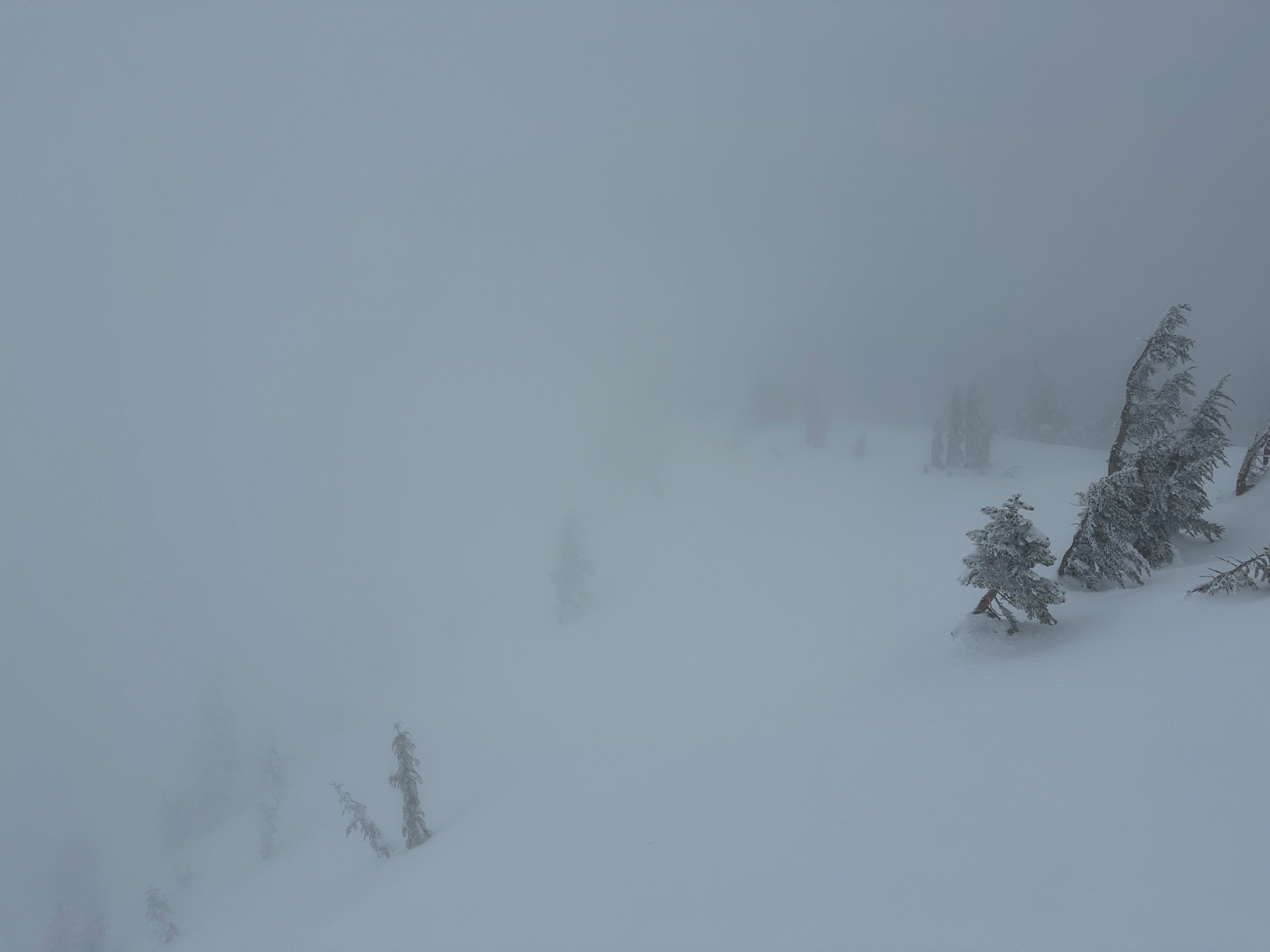
Several inches of new snow had fallen near treeline in the last 12 hours. Winds were mostly light, but stronger gusts were transporting small to moderate amounts of snow onto the leeward side of ridges. Drifted areas held deeper accumulations up to about a foot, largest nearest the crest of rollovers and tapering quickly with distance downslope.
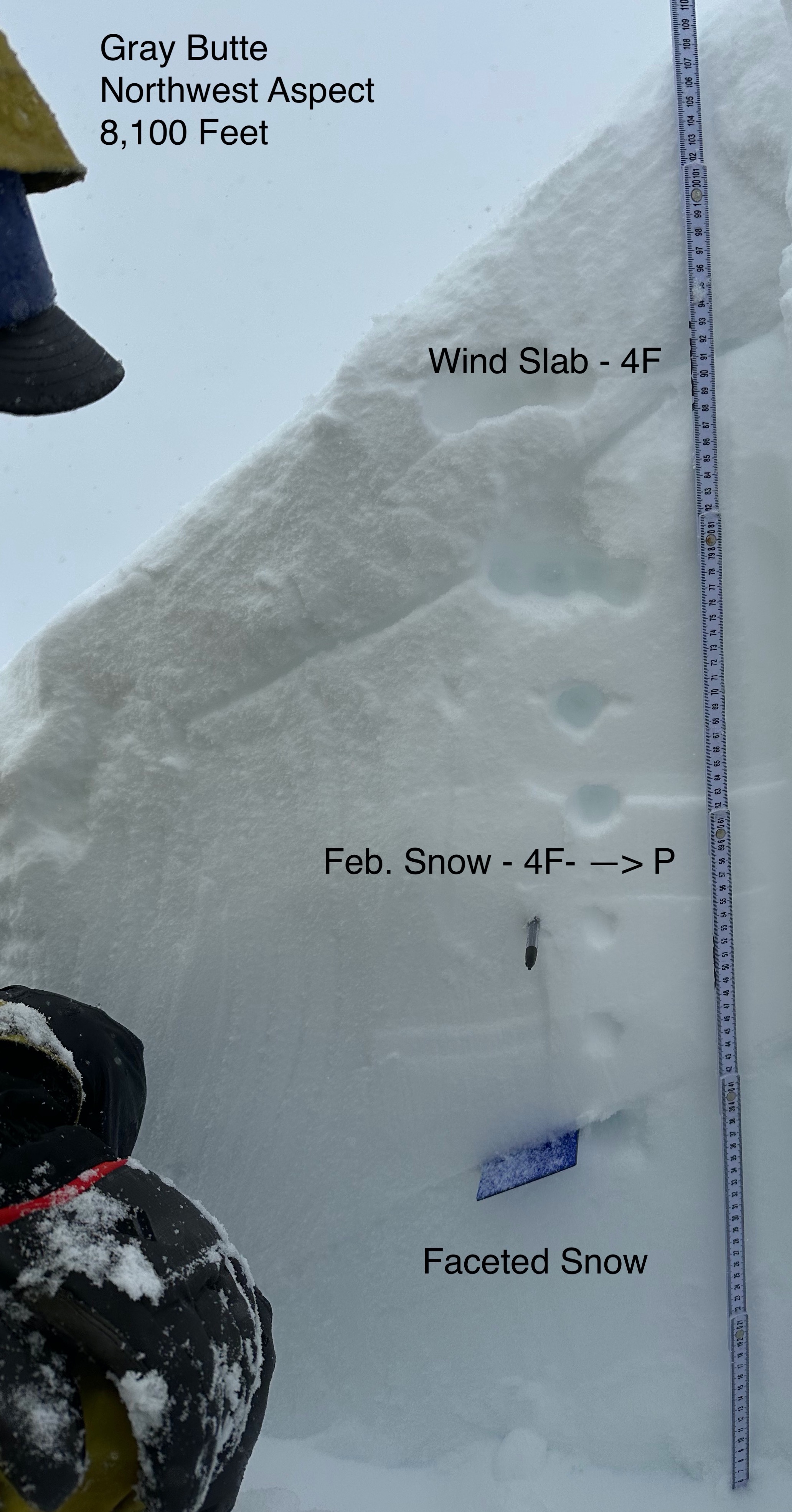
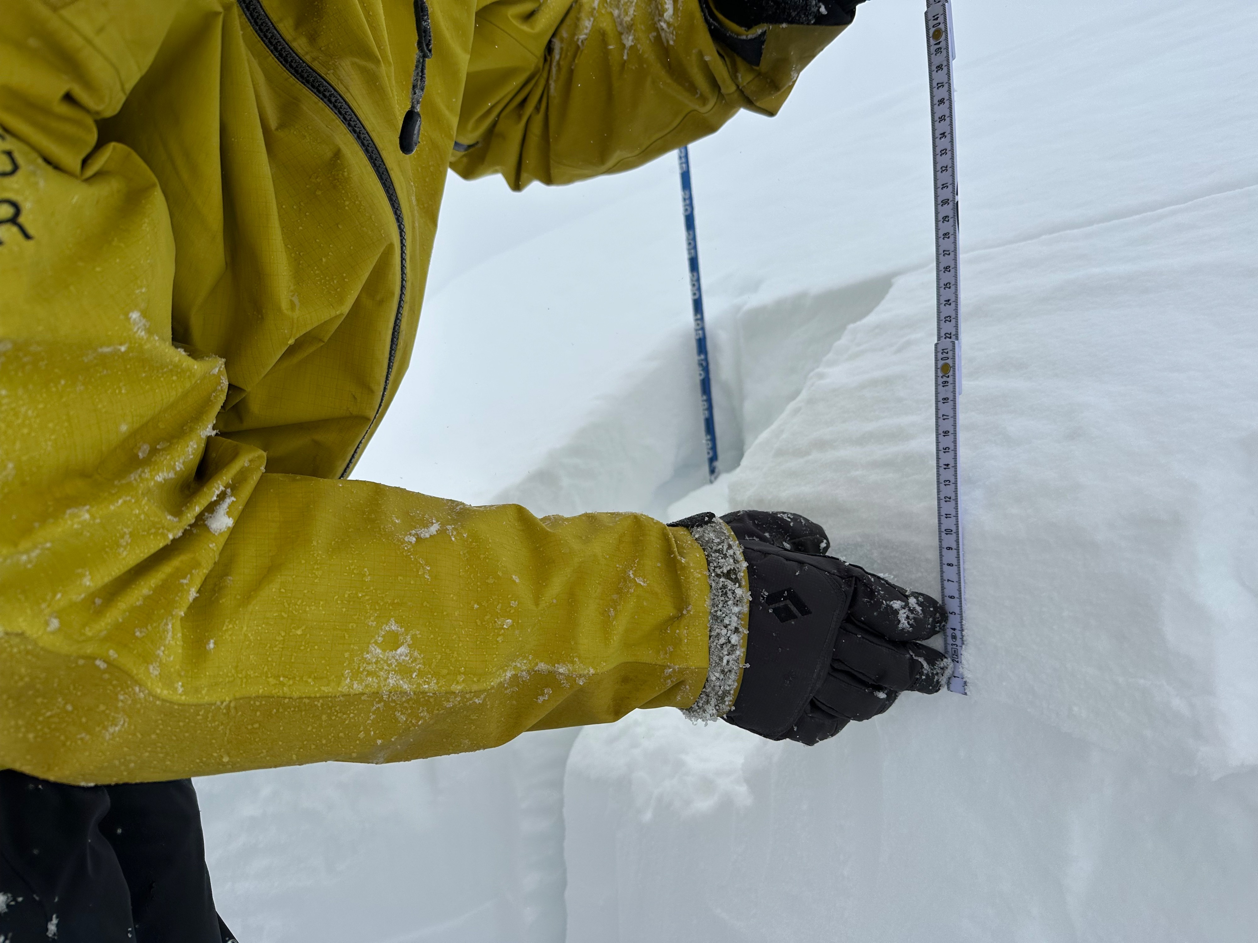
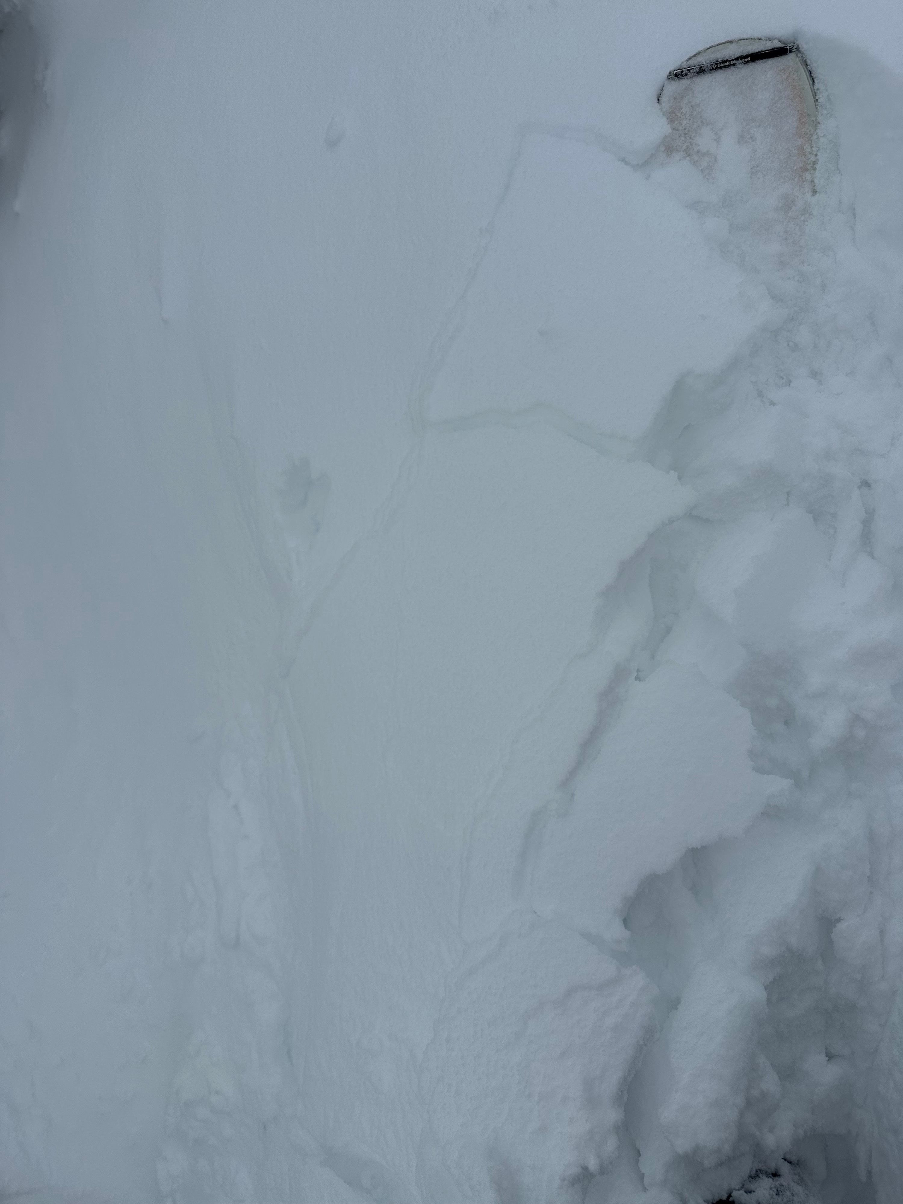
In one area on a NW aspect at 8,100 feet, we found a reactive wind slab that prorogated on the third tap - ECTP3. Smaller features also showed signs of cracking and blocking. About two feet down, near the base of February's snow is January's faceted layer, which was moist. The faceted snow (~1F) directly beneath the interface is weaker than the snow directly above it (~P). We did not get any results on it in this location, and it seemed relatively strong under its current load.
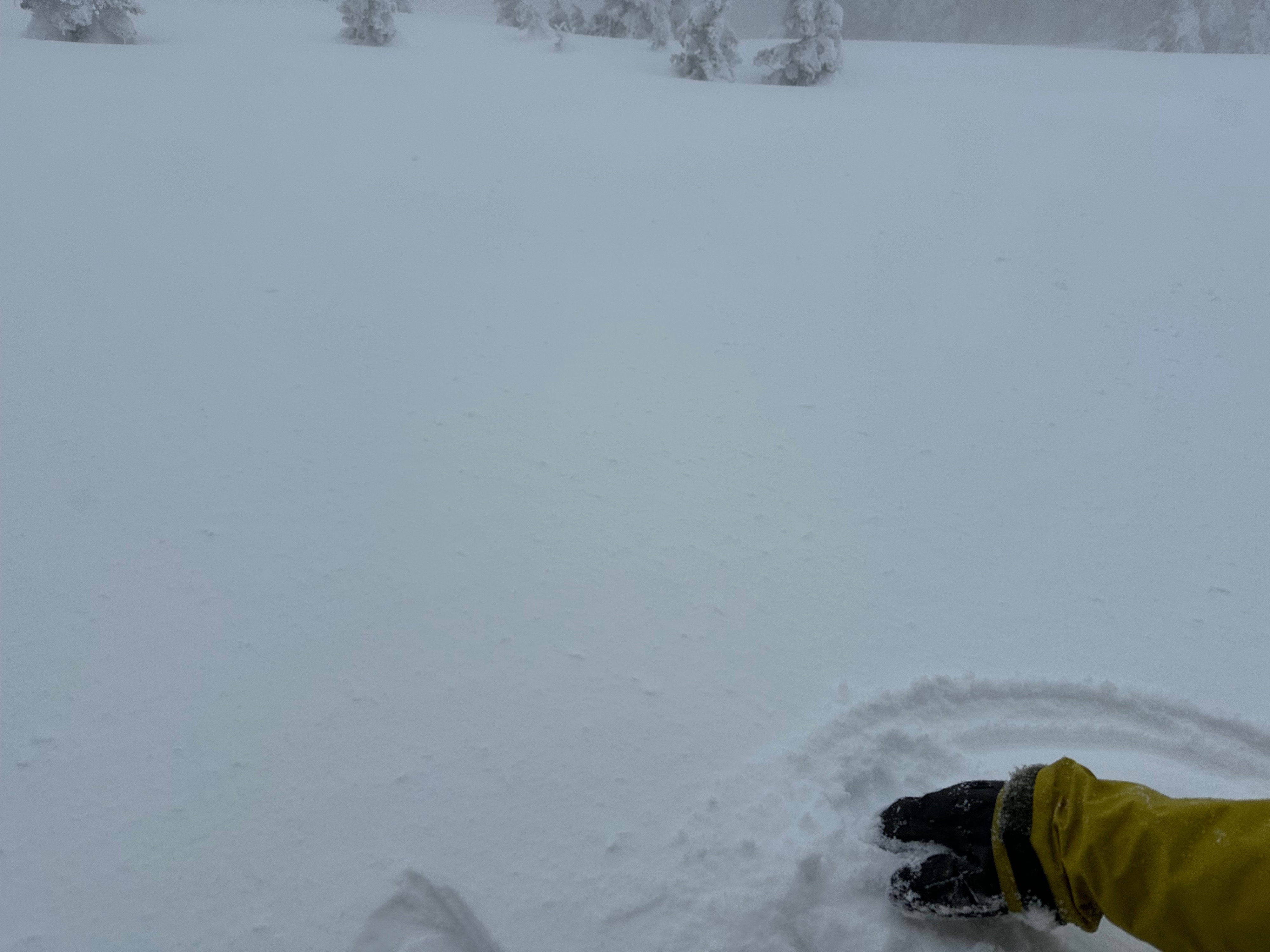
In general, the near surface snowpack felt inverted with a couple inches of denser snow over lighter snow that fell earlier in the storm and on days prior. The warmer temperatures and clouds also appeared to be adding moisture to surfaces. The rain line rose to about 6,000 feet from around 5,000 feet at the start of the tour, wetting areas below treeline. The high humidities and rain may inhibit the amount of snow available for transport in areas near and especially below treeline.
Propagating test results and snowpack cracking were observed on wind loaded features near treeline.Weather
- Air Temp
- 27 - 36 (est.)
- Cloud Cover
- obscured
- Wind Loading
- moderate
- Rain Elevation
- 5,000 - 6,000
- Recent Snowfall
- 3 inches
- Snow Avail For Transport
- moderate amounts
It was snowing lightly when we arrived around 10:00 AM at the Ski Park. Skies were overcast to obscured. S to SW winds were light with strong gusts near ridgeline. Upon descending from 8,100 feet, the rain level had risen to around 6,000 feet by 2:00 PM.