

Quick report
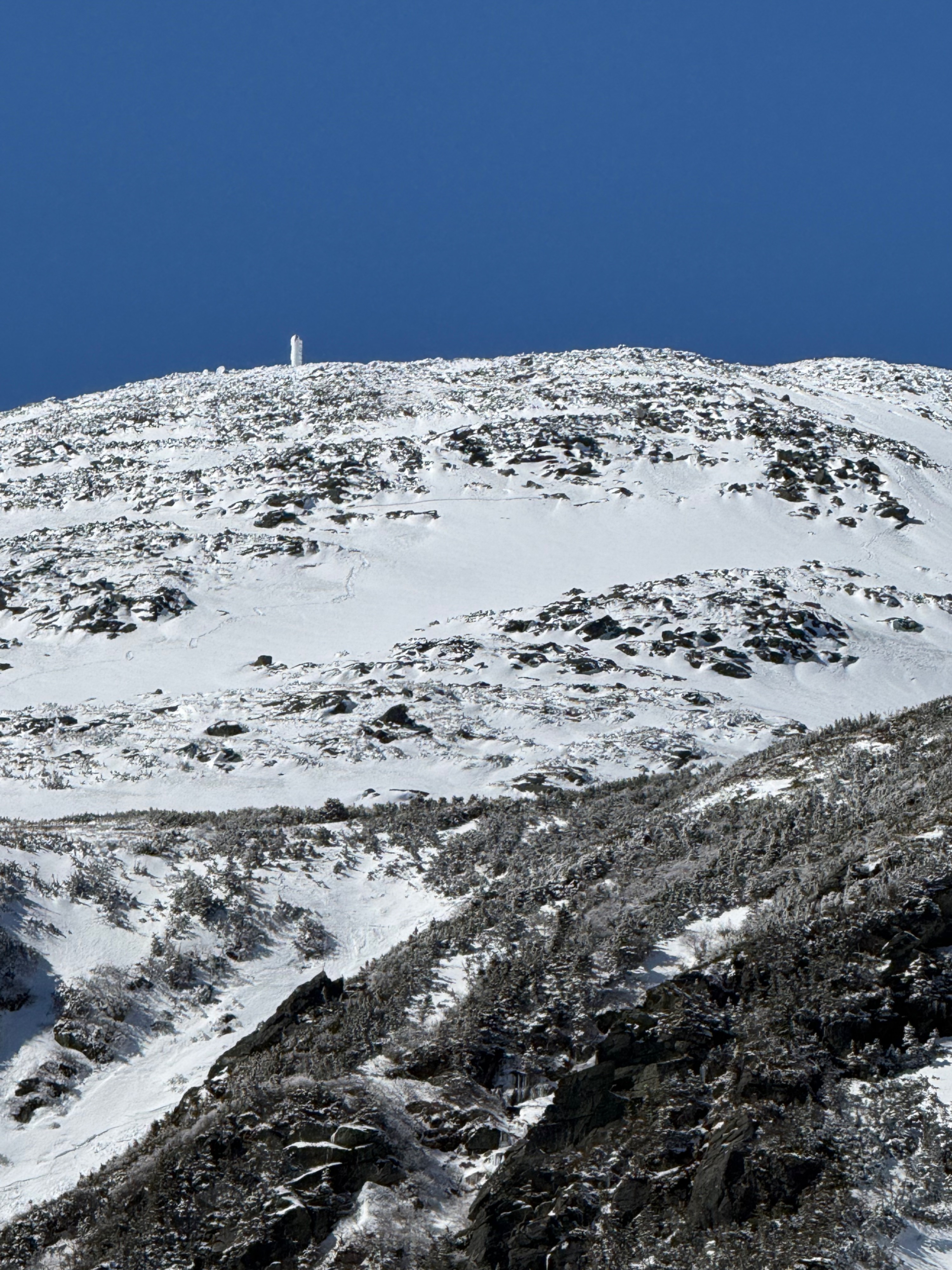
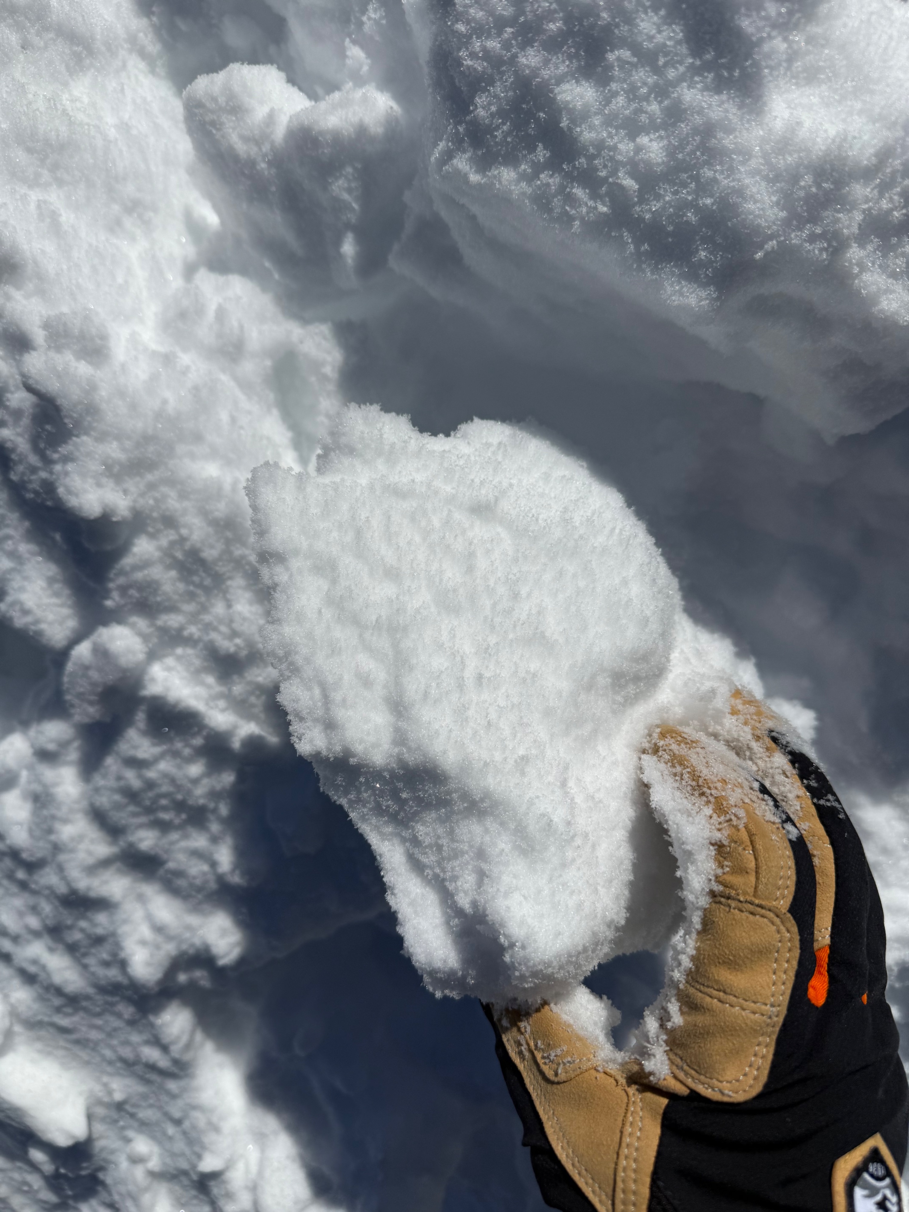
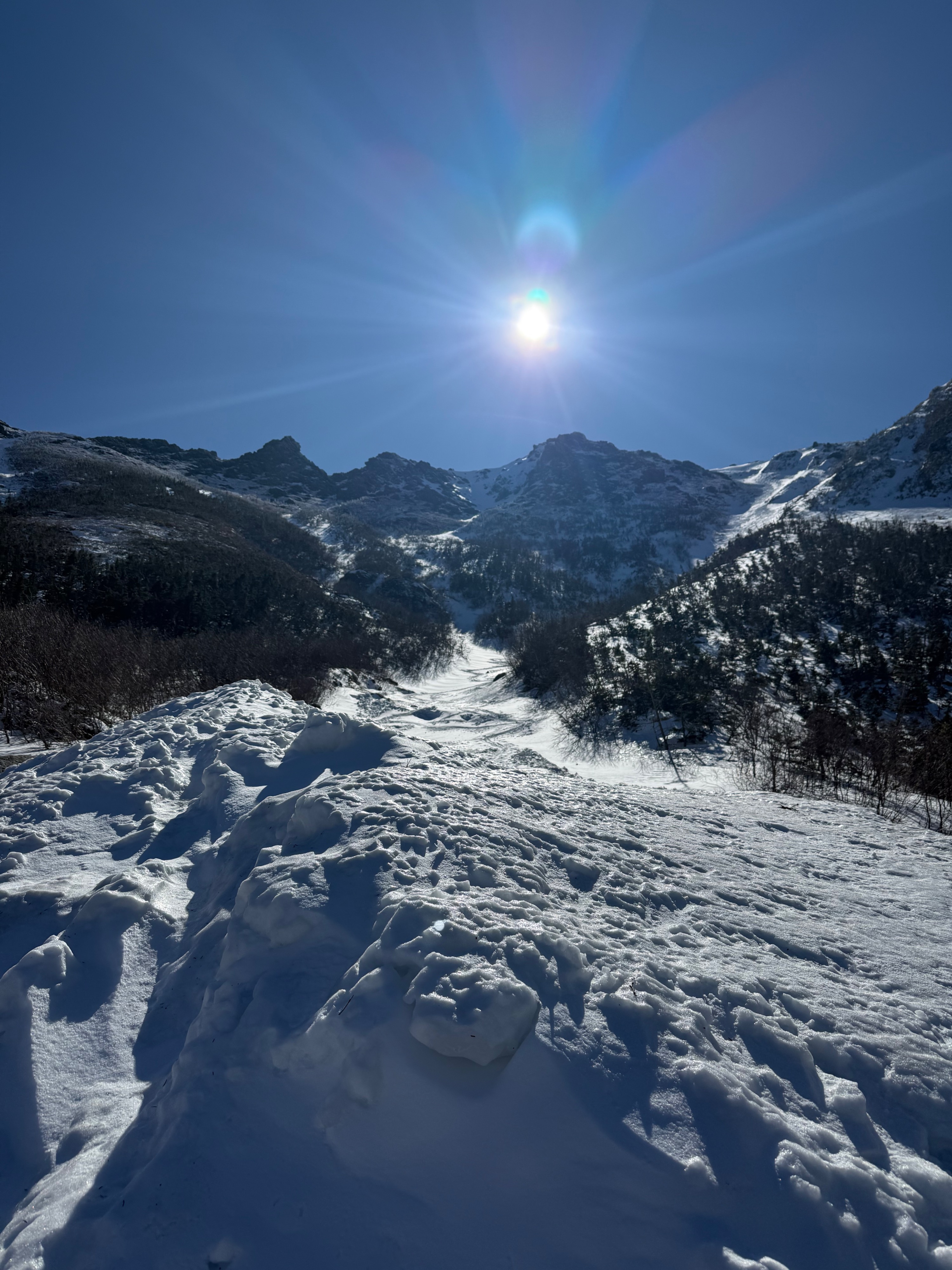
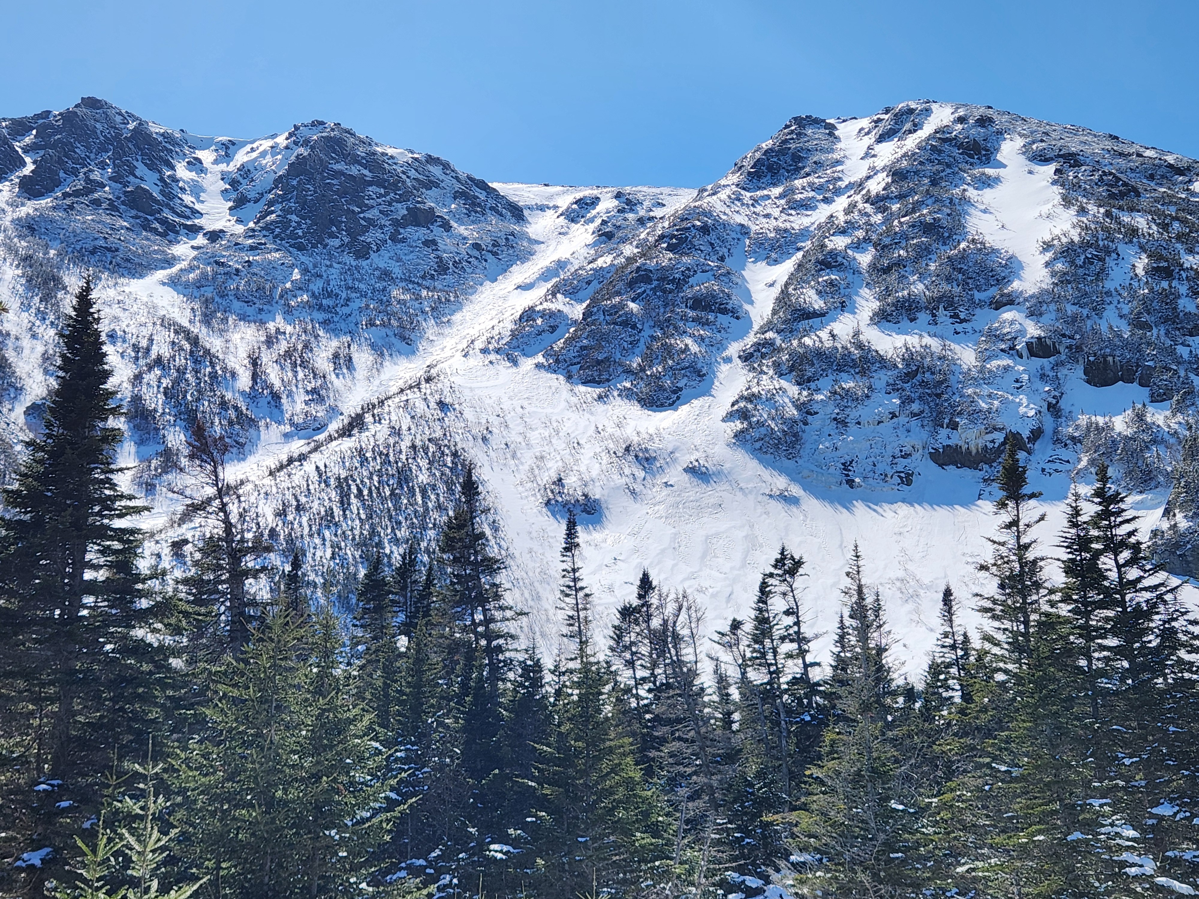
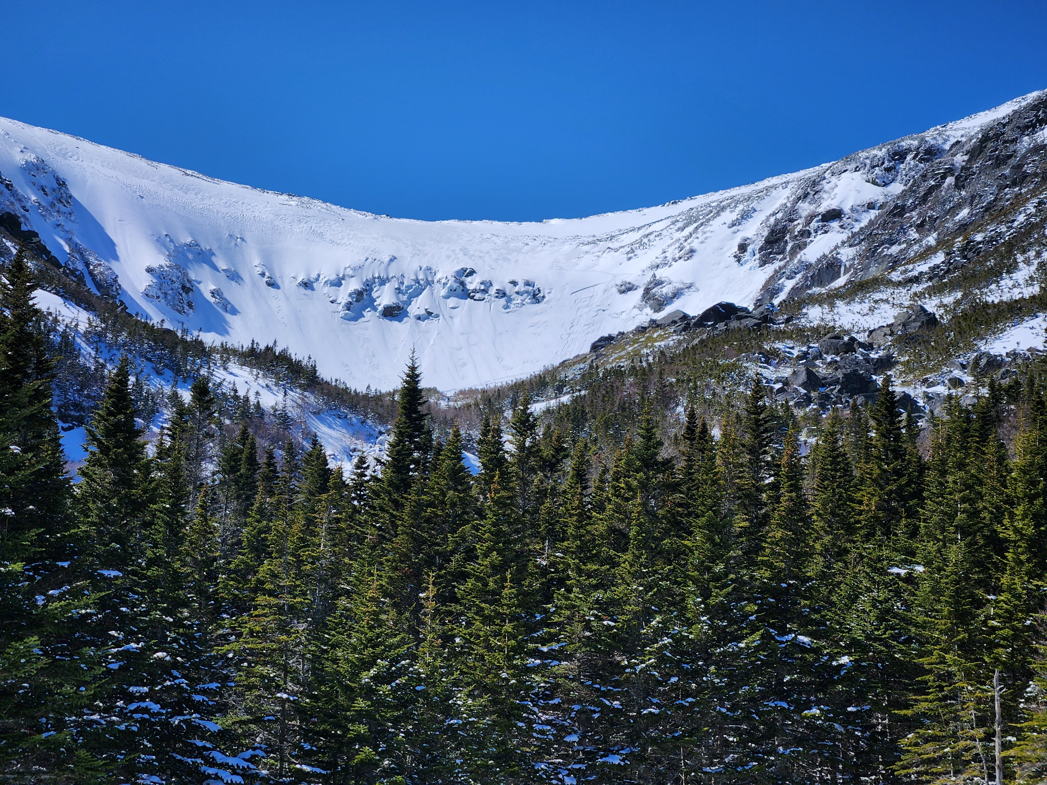
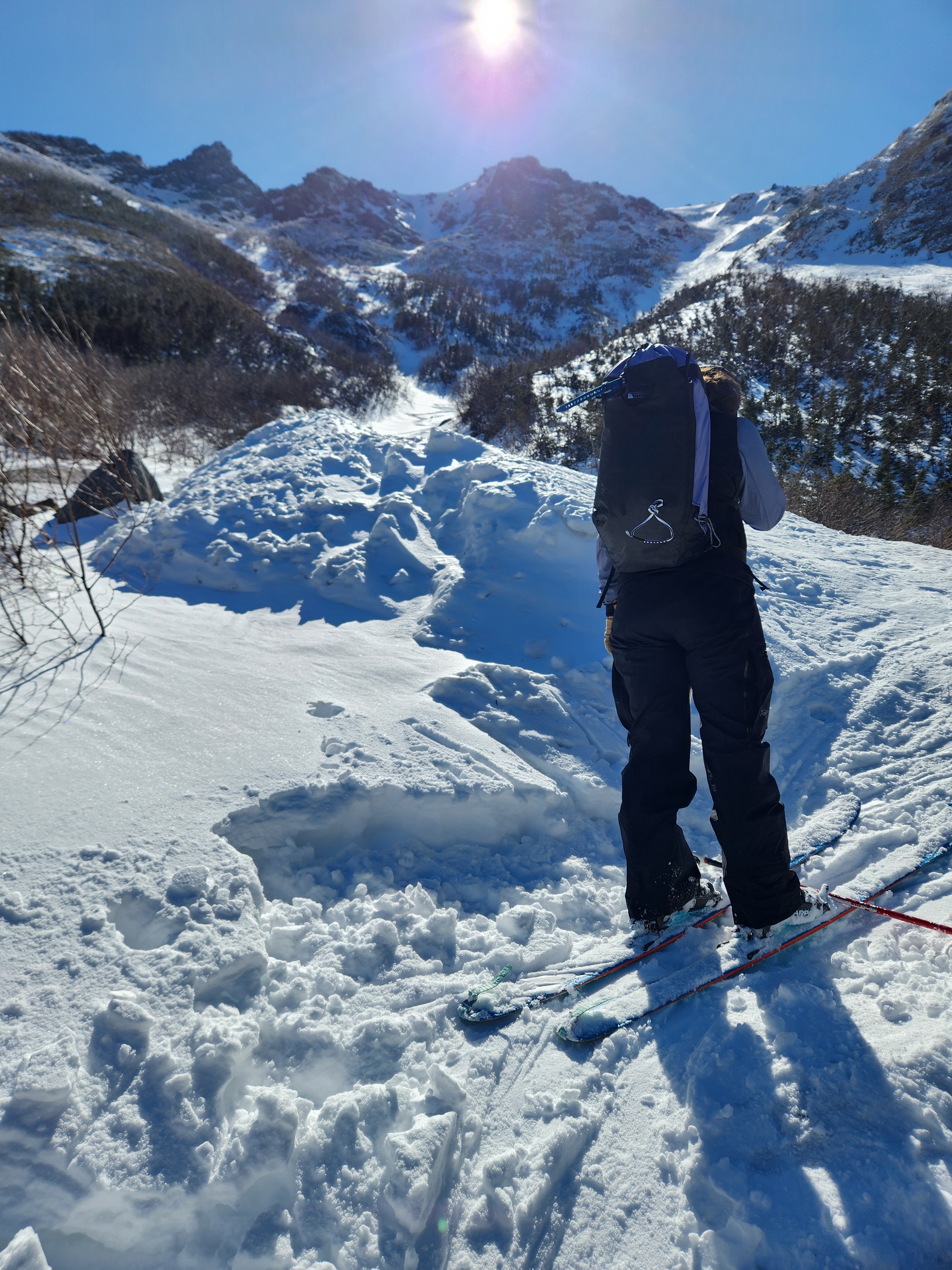
Variable characteristics of the new surface snow. It is bright white and easy to identify. We found shaded snow that stayed cold and loose, some with a thin crust on the top, and areas where the snow was wetting and becoming heavy. Solar gain was helping snow to settle and consolidate; however, in the coming days, this new snow will likely easily shed underfoot.
There were a lot of changes happening throughout the day. In the morning, the snow was cold, and it warmed into the afternoon. Wind slabs became warming wind slabs/wet slabs and numerous small slabs were triggered by skiers in steep southeast-facing terrain.
Looking ahead, take time to assess the interface of the new snow and how it is adhering to the melt-freeze crust. With increasing temperatures, this new snow is likely to begin to shed more easily, as warming softens and destructures the snow.
Weather
- Air Temp
- 32
- Cloud Cover
- few
- Wind Loading
- none
- Recent Snowfall
- 14 cm Hermit Lake
- Snow Avail For Transport
- none
Snowpack
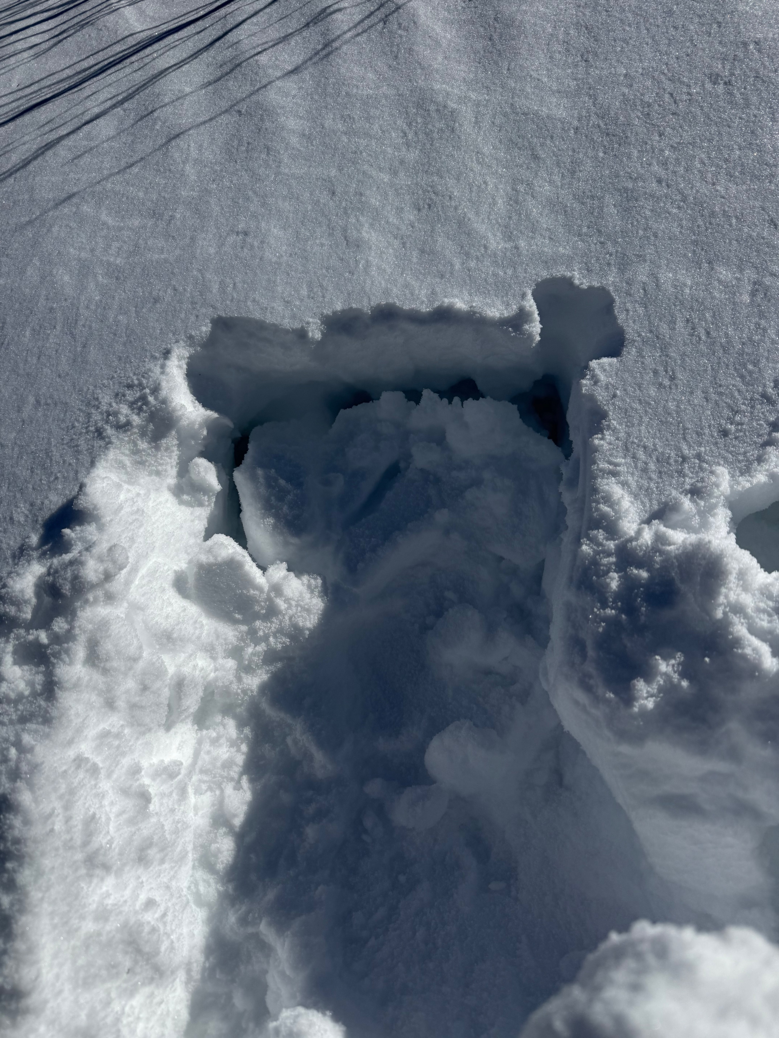
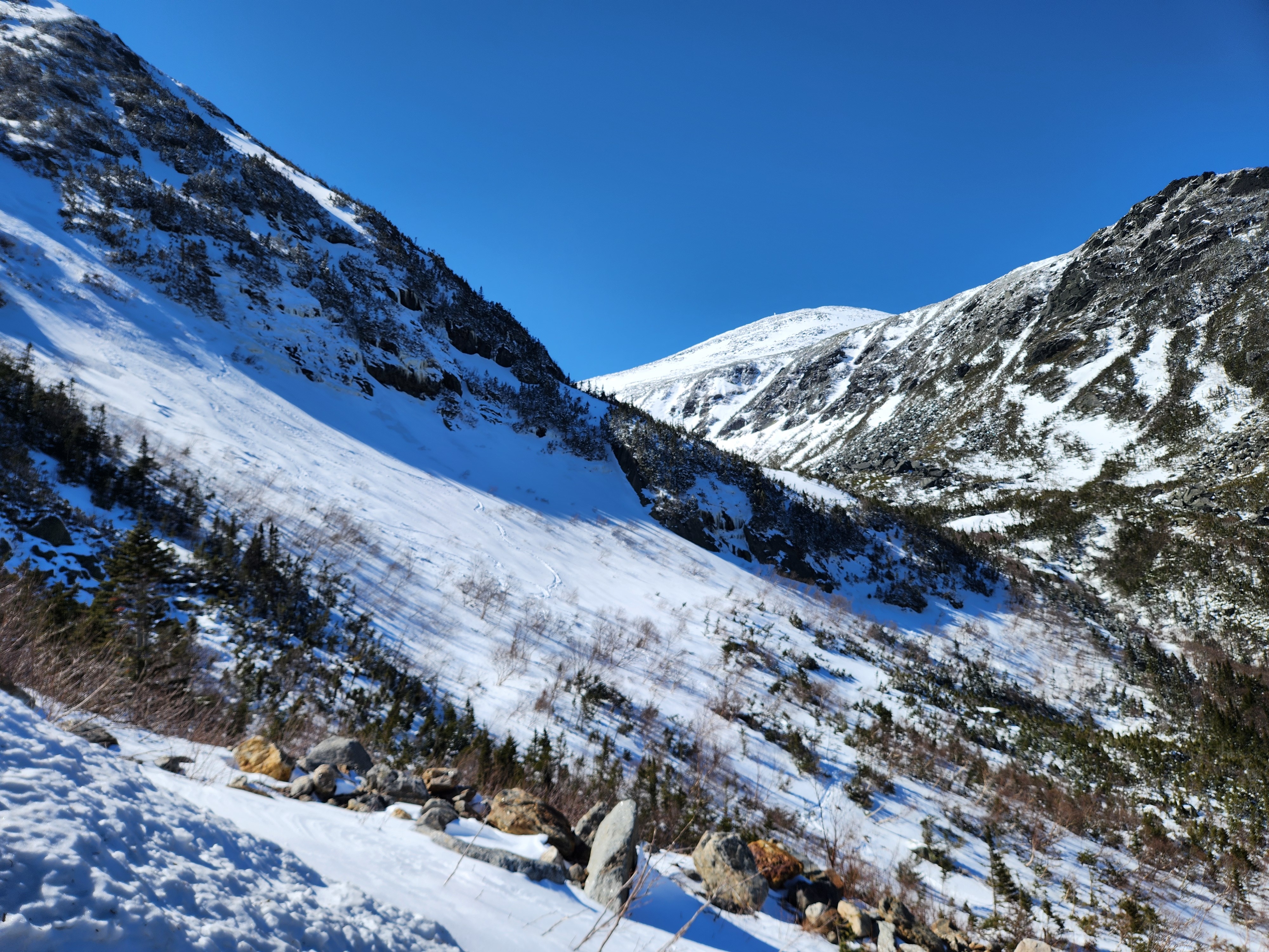
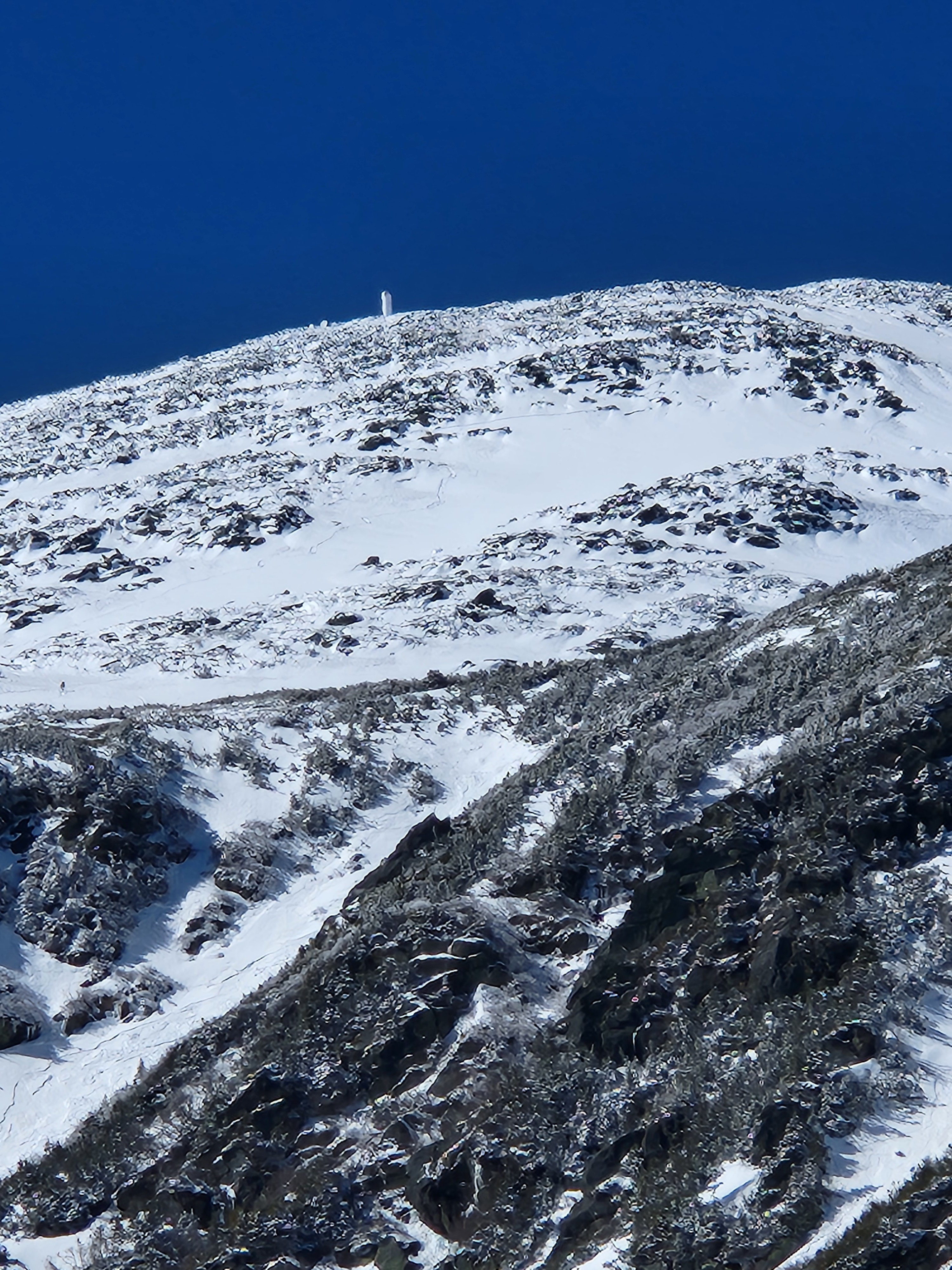
Targeted later field time to see the effect of warming with solar gain, above freezing ambient air temperature, and decreasing winds today on the new snow. Surfaces are variable, with areas exposed down to the firm melt-freeze crust. New snow is bright white and easily identifiable. However, its structure is highly variable. In some areas that stayed shaded, it was dry, loose, and cohesionless. In other areas, a very thin zipper crust was observed on top. In other areas, the snow was more consolidated (and slightly upside down).
Warming was helping to settle and consolidate snow, making it wet and heavy underfoot in some areas. Snow that was sun-protected seemed to stay colder, as did snow at upper elevations.
The new snow was undergoing dynamic change throughout the day. Early in the day, the snow was cold with isolated, small wind slabs observed high in terrain. Areas of scoured snow down to the melt-freeze crust caused a long sliding fall. As increasing temperatures and solar gain softened new snow surfaces, some areas became wet and heavy, borrowing characteristics of wet slabs. In general, most of the snow had some cohesion, so we did not observe rollerballs or evidence of wet loose activity.
The new snow either needs to shed or enter a diurnal melt/freeze cycle. Looking at the current weather forecasts, shedding seems most likely. Expect this new snow to warm, wet, and slide underfoot. As snow warmed and settled today, it will begin to lack connected and cohesive structure, but there is the potential to pull small pockets underneath your feet. Identifying differences in the surface snow was easy, as new snow was birght white and the old melt-freeze crust was dull gray or shiny. This was beginning to soften in some areas, but should continue to be assessed as it will take time to fully soften. The new bright white snow will likely shed over the coming days, so is something to keep in mind if you encounter. It is unlikely to create a large problem, but the heavy nature of debris can be consequential, especially if it were to cause a fall in no fall terrain.
There was a conversation about a low or moderate hazard rating for today's forecast, and in some ways, what we observed was closer to low this afternoon. A lingering concern was if the low-density snow was more productive at building slabs. Today, deeper drifted snow was found lower in the gullies, but any slabs that were triggered were triggered higher in terrain and predominantly in southeast aspects (read more details here). The size (small) and isolated distribution fit more within a low hazard rating. On the other hand, if snow lacked structure and was an even blanket, wet loose activity would be more likely. As there were a lot of changes for new snow and limited observed data to support size, we went with a moderate hazard rating.