
Quick report
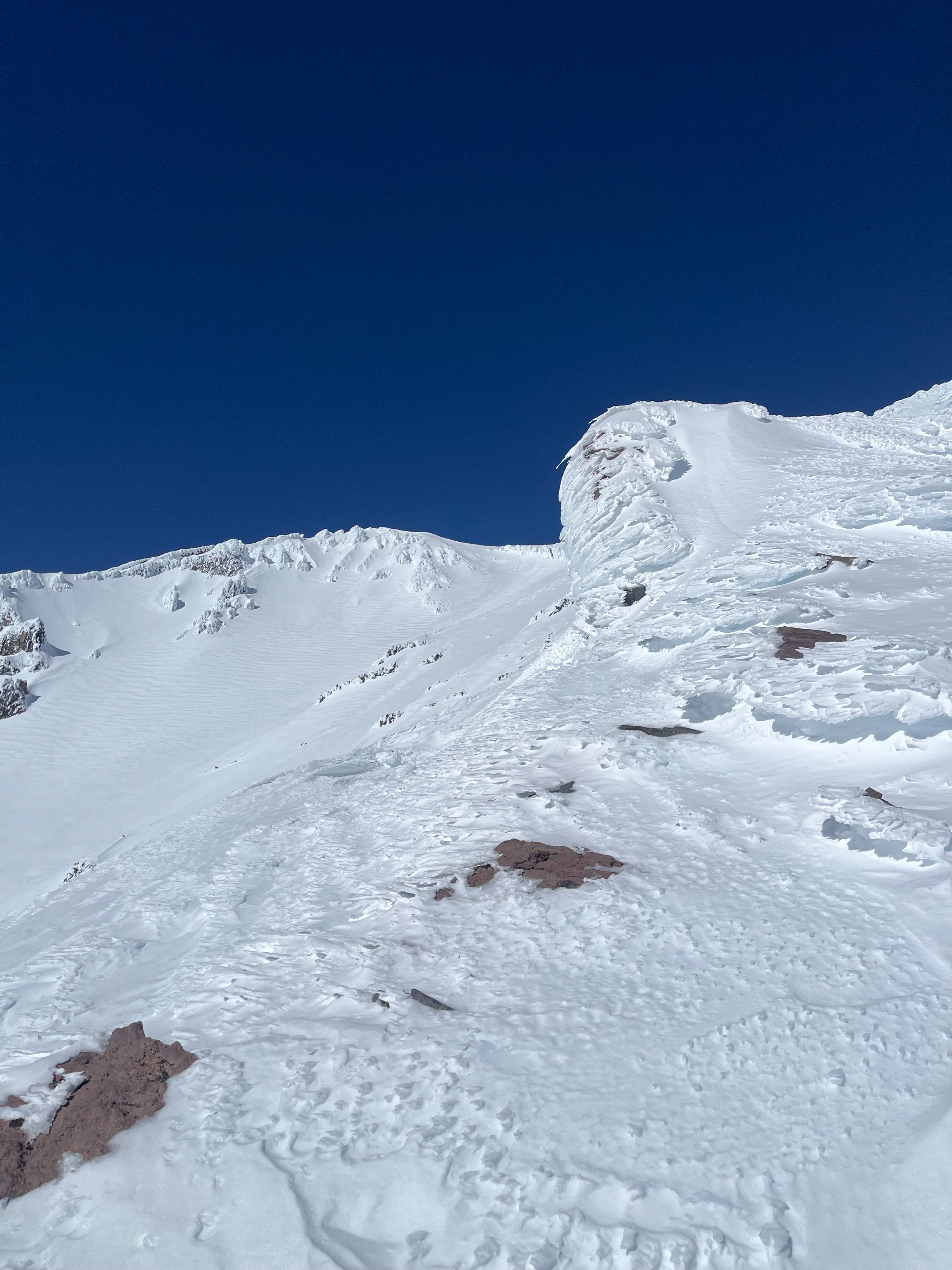
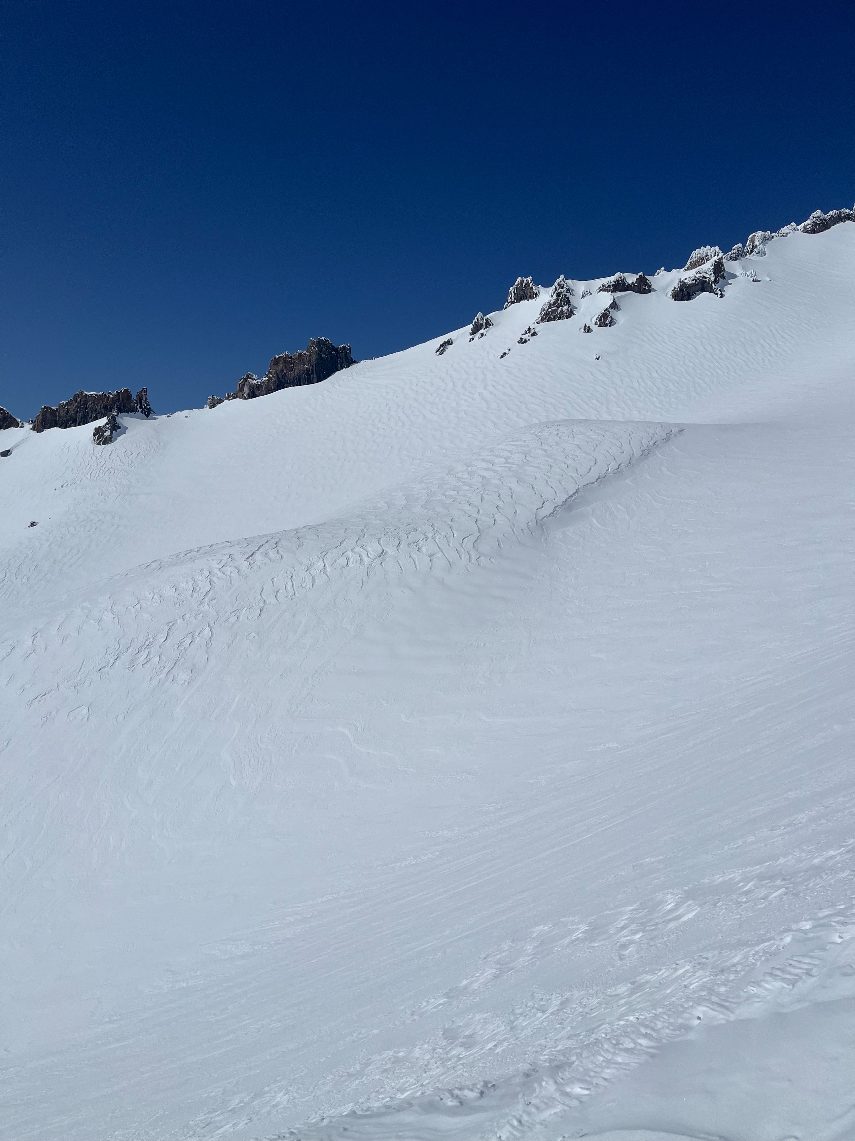
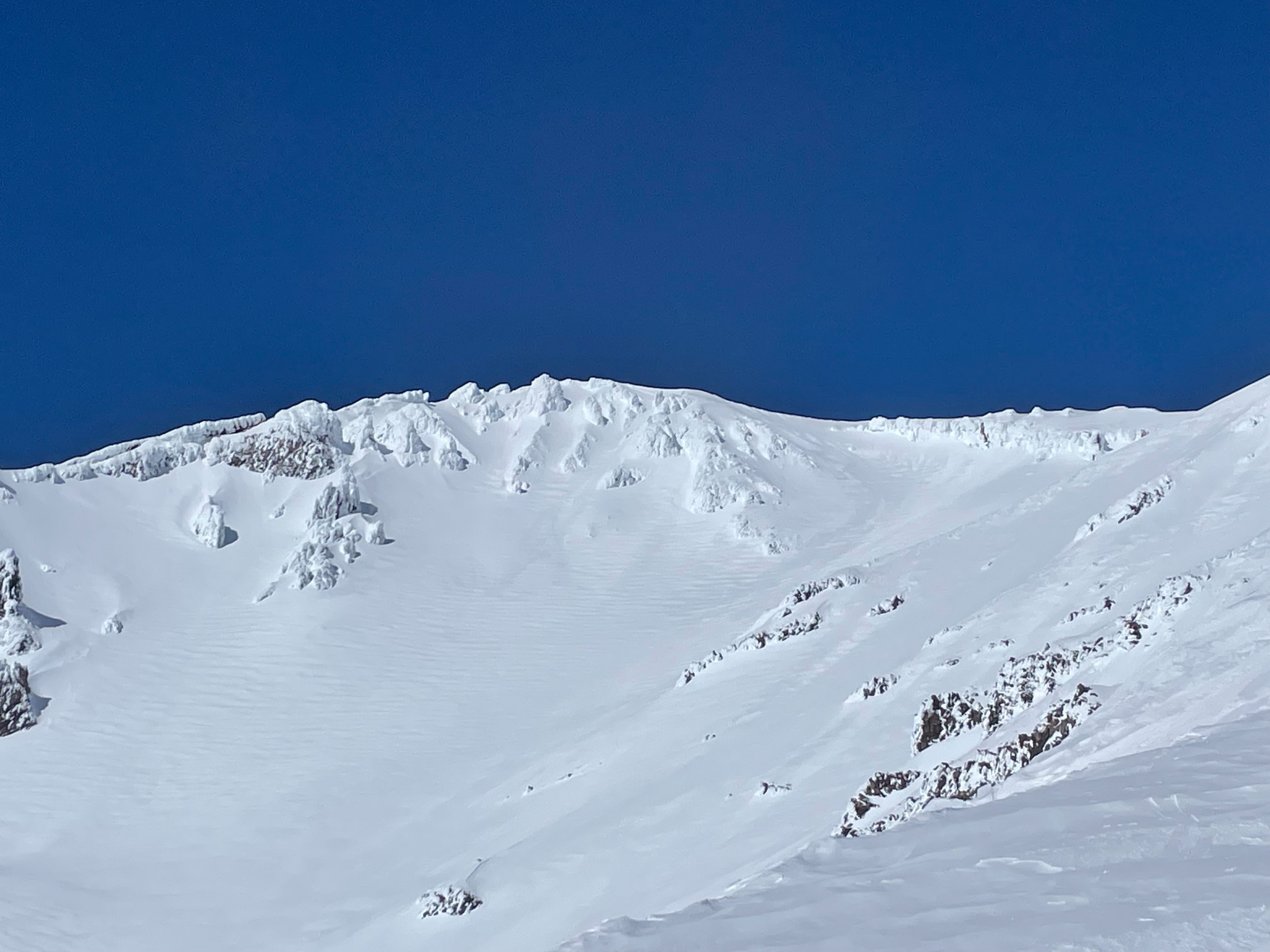
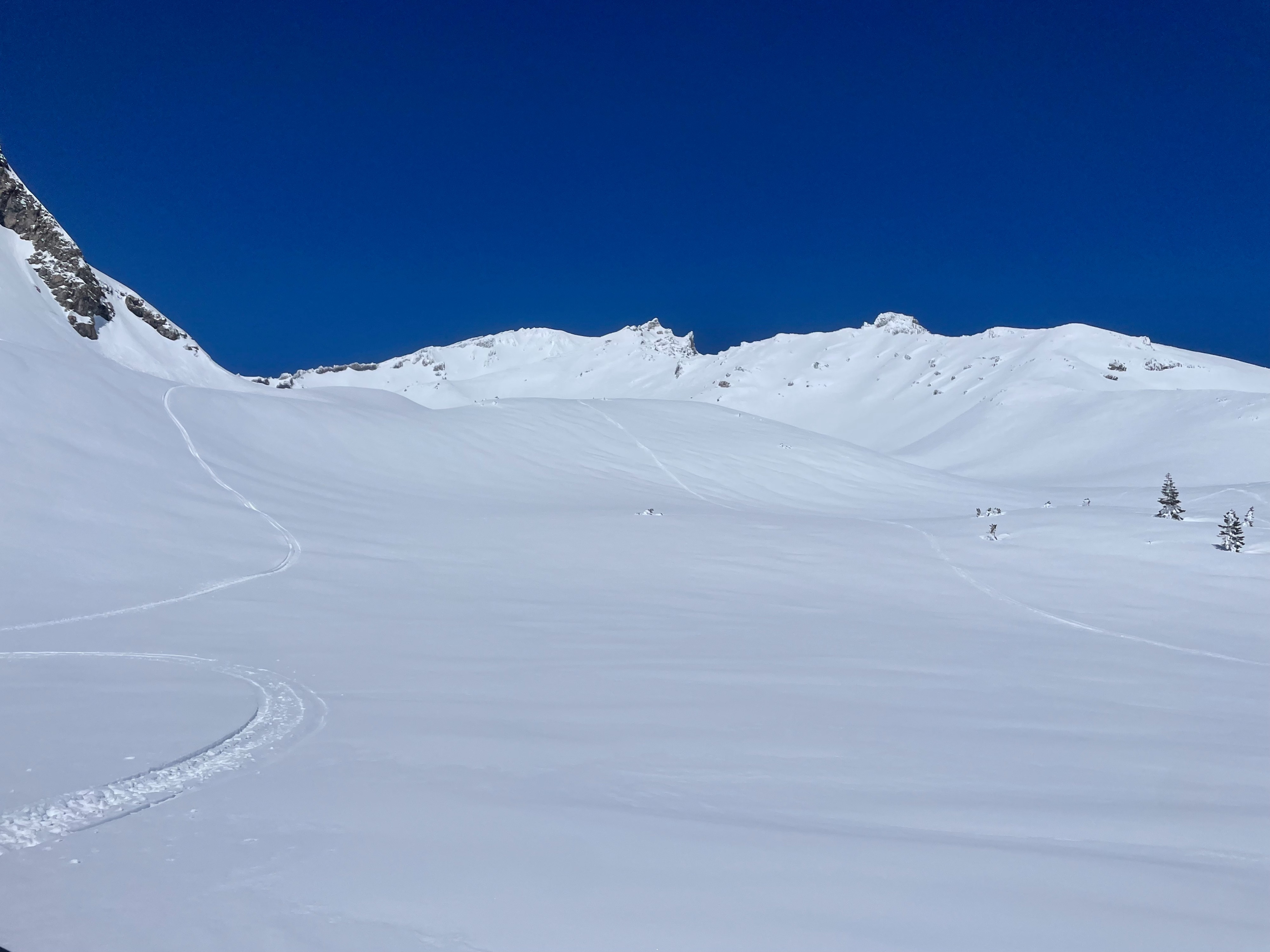
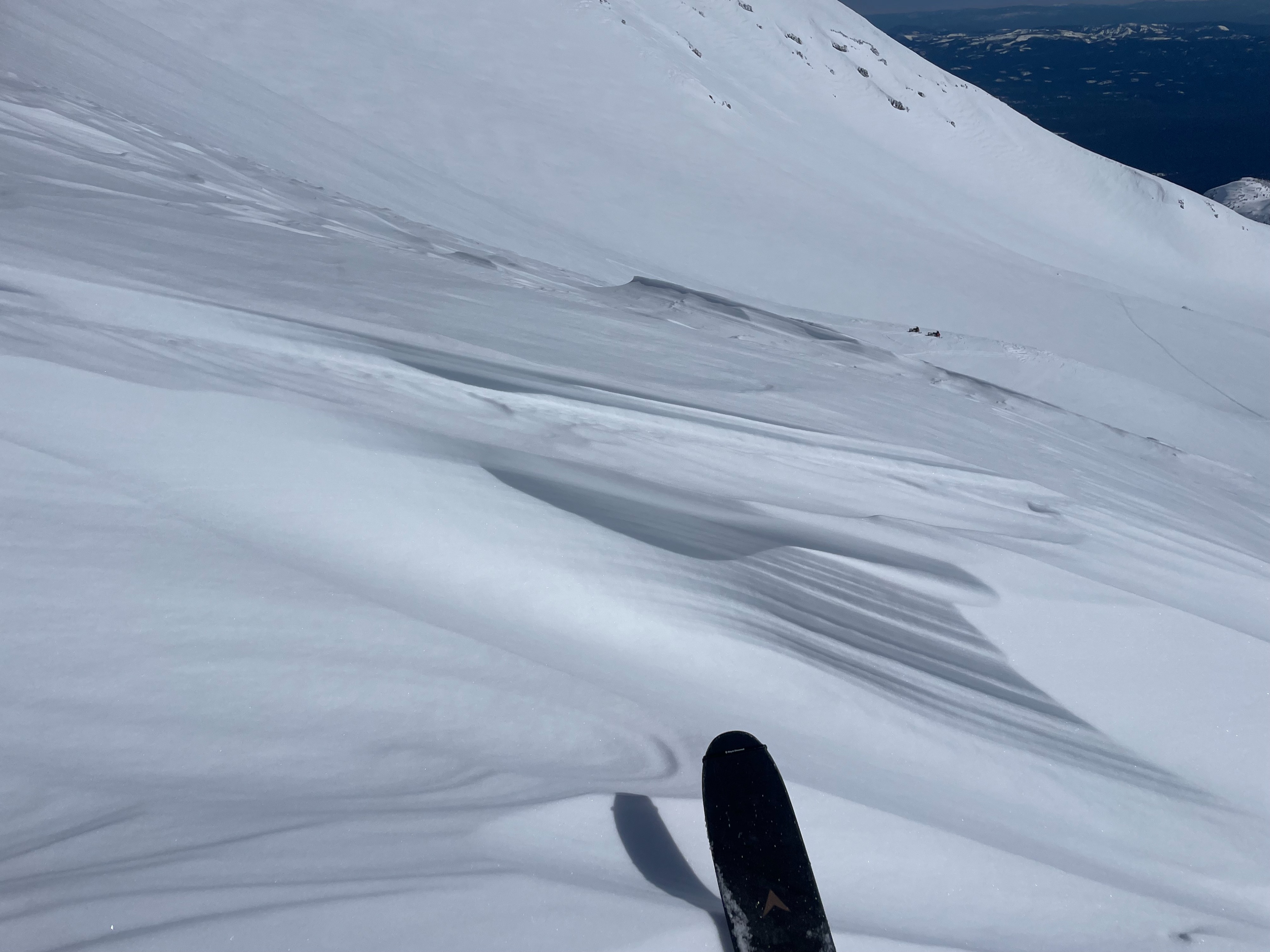
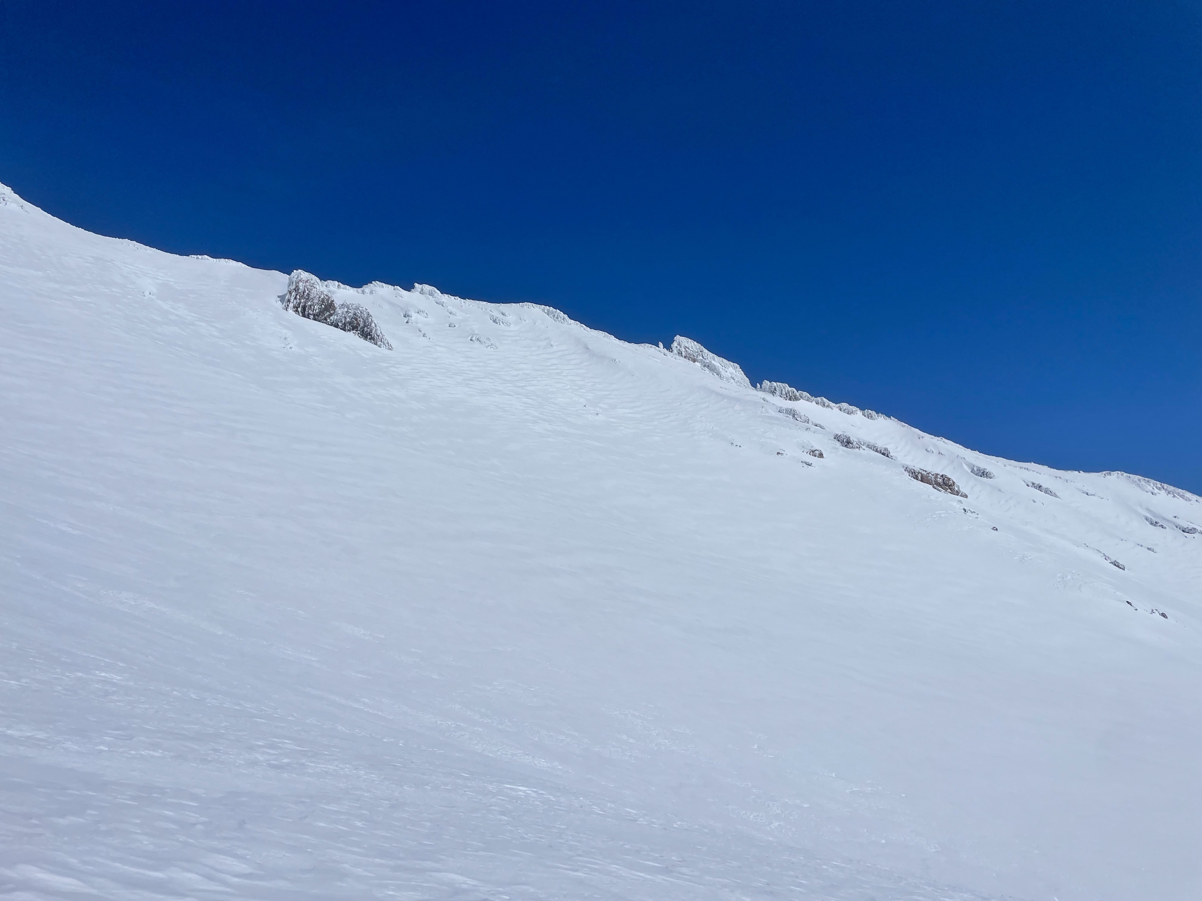
For the most part, the relatively warm days and clear skies appear to have stabilized the snowpack. Snow coverage on the upper mountain is excellent, setting us up for a great spring season. Roller balls and small wet loose avalanches were observed on terrain below 9,000 feet, indicating a decent amount of warming for areas not experiencing the cool wind. Saturated surface snow extends up to 9,500 feet, leaving a firm surface crust when temperatures drop overnight. Wind effected surfaces extend across the majority of terrain above treeline. Soft, less-wind effected snow can still be found in north facing, sheltered, terrain.
Roller balls were seen on southerly aspects. A small, wet loose avalanche was spotted on a southeast aspect in sun bowl. Thin wind drifts were observed at higher elevations, though these were isolated to specific terrain features.Weather
- Air Temp
- 40
- Cloud Cover
- clear
- Wind Loading
- none
- Rain Elevation
- N/A
- Recent Snowfall
- 0
- Snow Avail For Transport
- small smounts
Clear, and calm conditions prevailed through the day. A light, cool, wind out of the east kept surfaces cold despite the direct sunlight. By midafternoon, temperatures climbed above freezing at the 10,000-foot level.
Snowpack
Today's warm temperatures began to melt snow at lower elevations, particularly below 6,000 feet. The March sun has saturated surface snow up to 9,500 feet. Above 9,500 feet, the cool breeze kept surfaces cold and firm. The recent winds have scoured westerly aspects in Avalanche Gulch down to an old snow interface, resulting in a very rough surface texture.
Avalanche
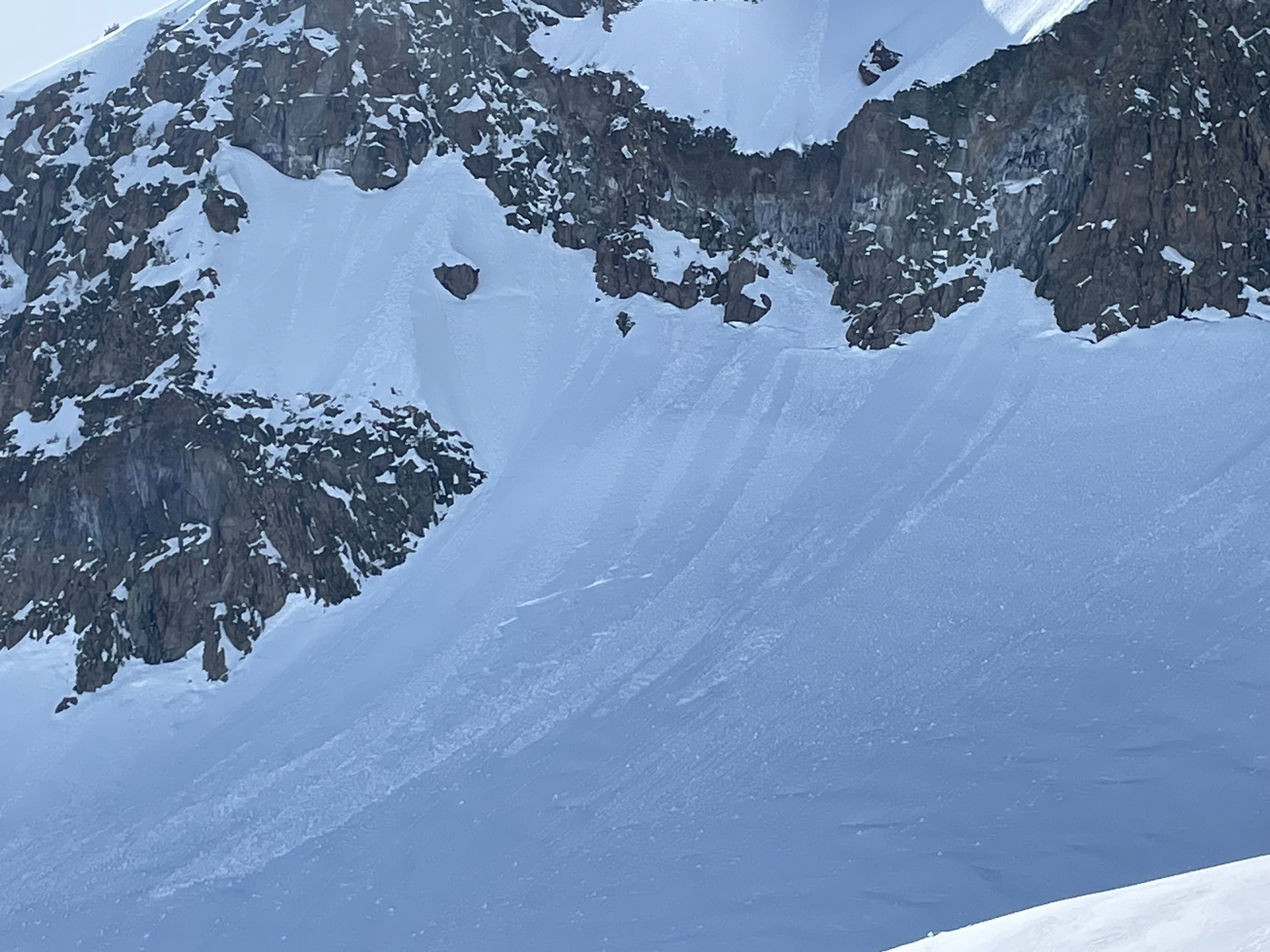
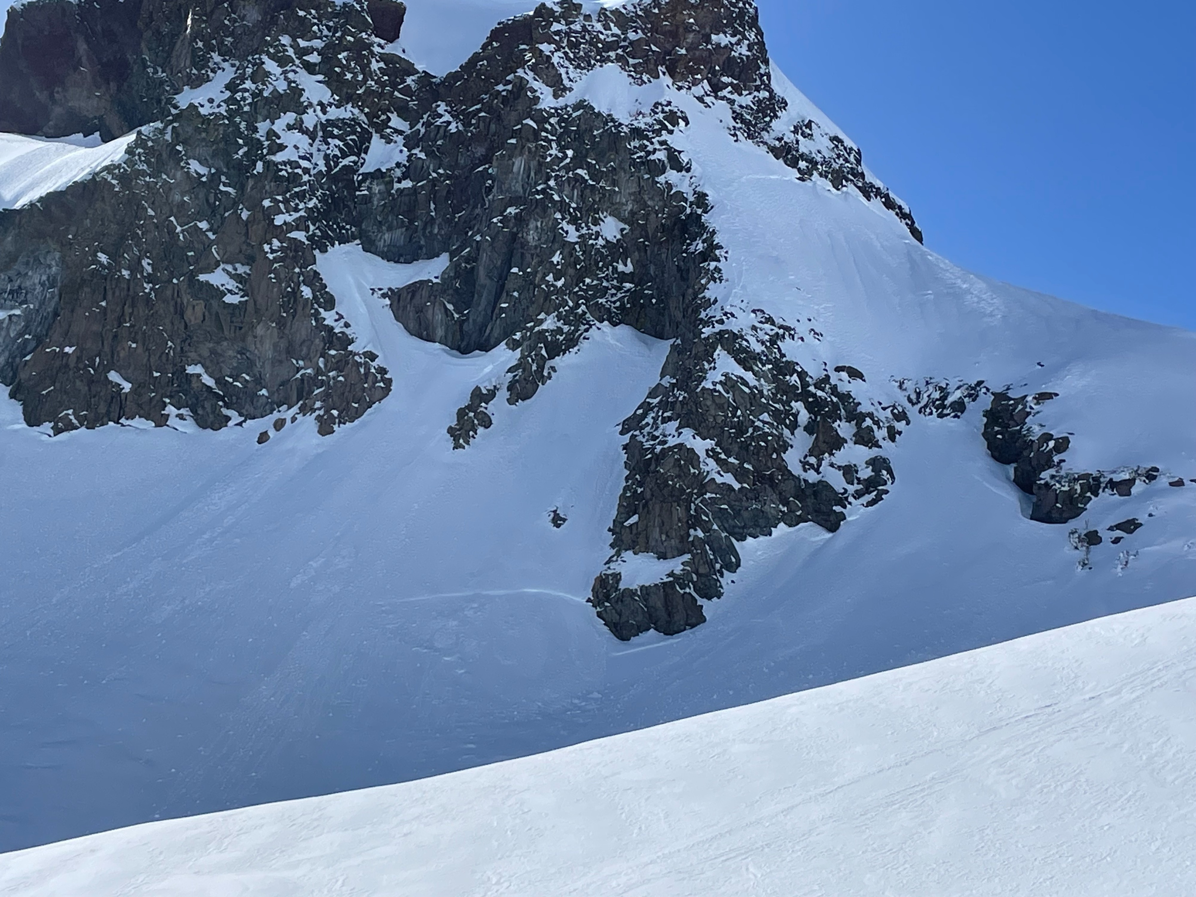
A few faint crowns were spotted off the east face of Green Butte. These likely occurred during the storm cycle earlier this week.