
Quick report
Initial storm totals this weekend were lower than forecasted. A second pulse of the storm moved through last night and into this morning, with the NWS issuing a Winter Weather Advisory at 6 AM on 3/9 through 4 AM on 3/10. We observed 27 cm of new, low-density snow on top of a melt–freeze crust from the 3/6 rain event. In our location, this crust was supportable on skis. The new snow appeared to be bonding to the melt–freeze crust, though it still felt somewhat like dust on crust and would sluff easily in steeper terrain.
We observed no propagation on two different Extended Column Tests. As temperatures warmed slightly through the afternoon, the snowpack felt more cohesive. Despite this change, we observed no signs of instability. With 4-6" of new snow forecasted overnight, watch for the potential development of storm slabs. Winds are expected to strengthen throughout the week, and the abundance of low-density snow available for transport could lead to the formation of fresh wind slabs.
Weather
- Air Temp
- 20
- Cloud Cover
- broken
- Wind Loading
- previous
- Rain Elevation
- 0
- Recent Snowfall
- 27
- Snow Avail For Transport
- moderate amounts
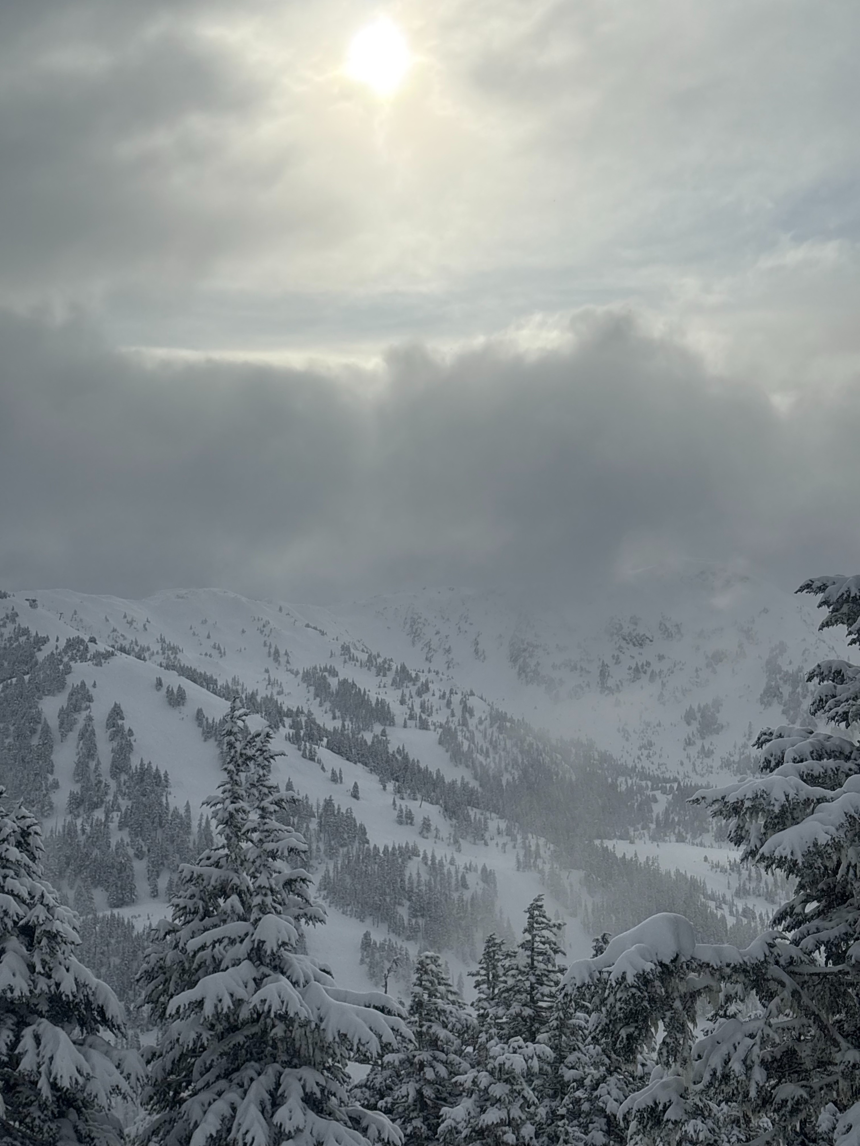
A decent amount of new snow accumulated overnight, with moderate snowfall continuing through the morning. We observed 27 cm of new snow on top of the melt–freeze crust. As we reached the Showboat ridgeline, snow tapered off and we began to see the sun poking through the clouds. Winds were light out of the ESE. We also observed snow shedding from trees, and temperatures warmed slightly in the afternoon. Winter weather advisory in effect until 4AM 3/10.
Snowpack
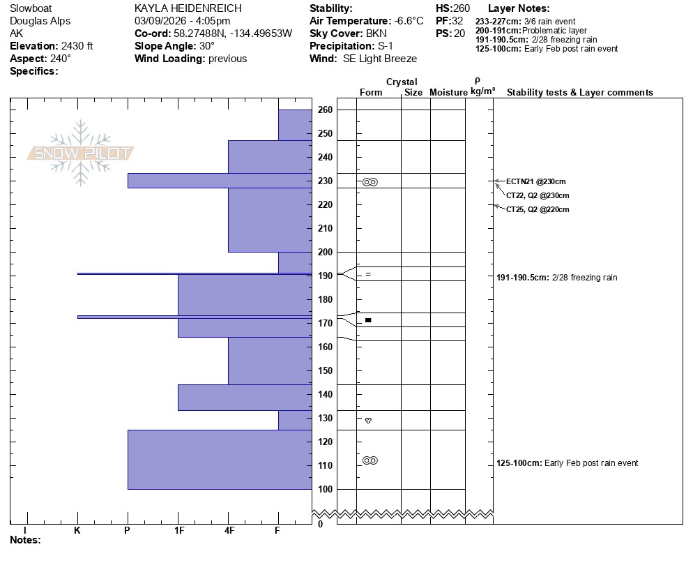
We observed 27 cm of new snow on top of a 14 cm melt–freeze crust from the 3/6 rain event. This crust was supportable on skis but not supportable to boot penetration. Beneath this layer was soft snow down to the 2/28 rain crust which was ~70cm down. The 2/28 crust was variable at this location, possibly due to high traffic in the area or the crust beginning to break down. We identified the early February snowpack 135 cm down, which consisted of a melt–freeze crust. At the interface, there was approximately 10 cm of fist-hard rounded polycrystals.
All test results failed within the new storm snow or at the 3/6 melt–freeze crust, and we observed no propagation in either of our Extended Column Tests. Overall, we felt good about the stability of the snowpack at this time at this location.