
Quick report
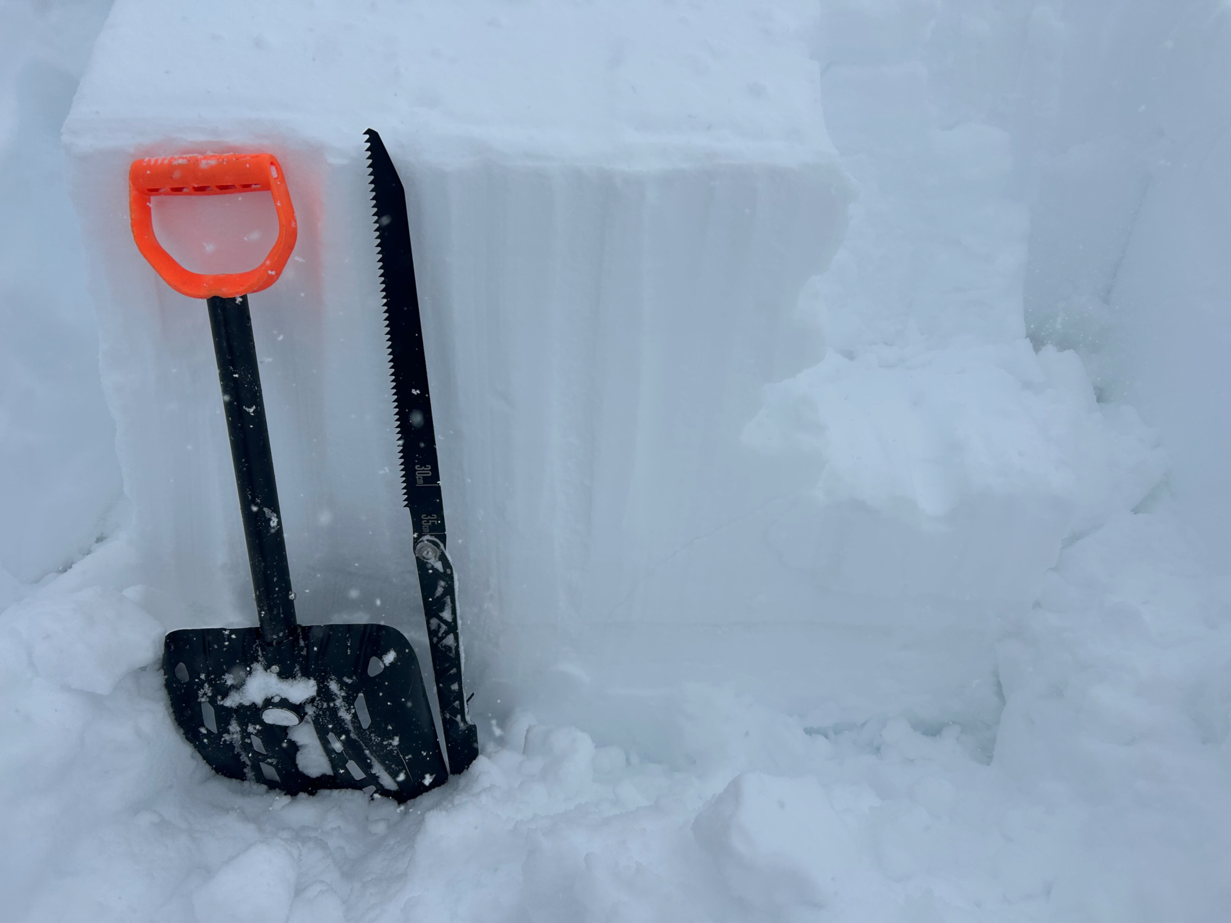
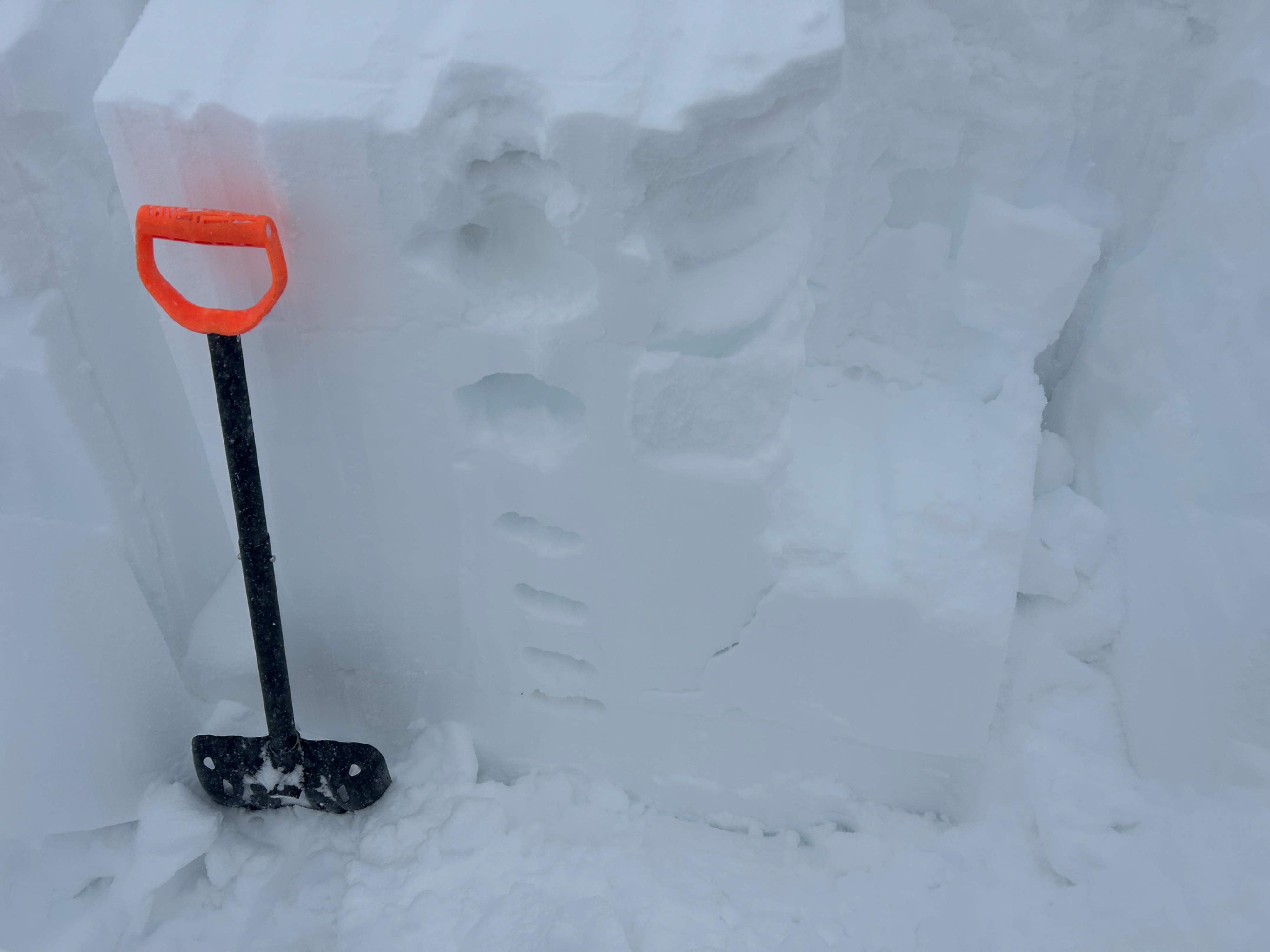
Dramatic wind loading is the main takeaway from today. We targeted the 3/13 interface on several E to NE aspects N/BTL and found non-propagating results up to 2 feet deep on small-grained facets. The only steep terrain we traveled on was southerly aspects, where the new snow is accumulating over recent melt-freeze crusts.
No obvious signs of instability underfoot.Weather
- Cloud Cover
- overcast
- Wind Loading
- intense
- Rain Elevation
- N/A
- Recent Snowfall
- 15
- Snow Avail For Transport
- moderate amounts
Unpleasant! Snowfall rates ramped up around noon. About 6" of new snow (counting last night's few inches) below treeline by 2 p.m. Moderate to strong winds with extreme gusts near treeline with periods of intense blowing snow and whiteout conditions. Local wind directions alternated from southwest to northwest, more frequently from southwest.
Avalanche
- Size
- D2.5
- Type
- HS
- Count
- 3
- Aspect
- NE
- Trigger
- NC
- Elevation
- 12000 ft
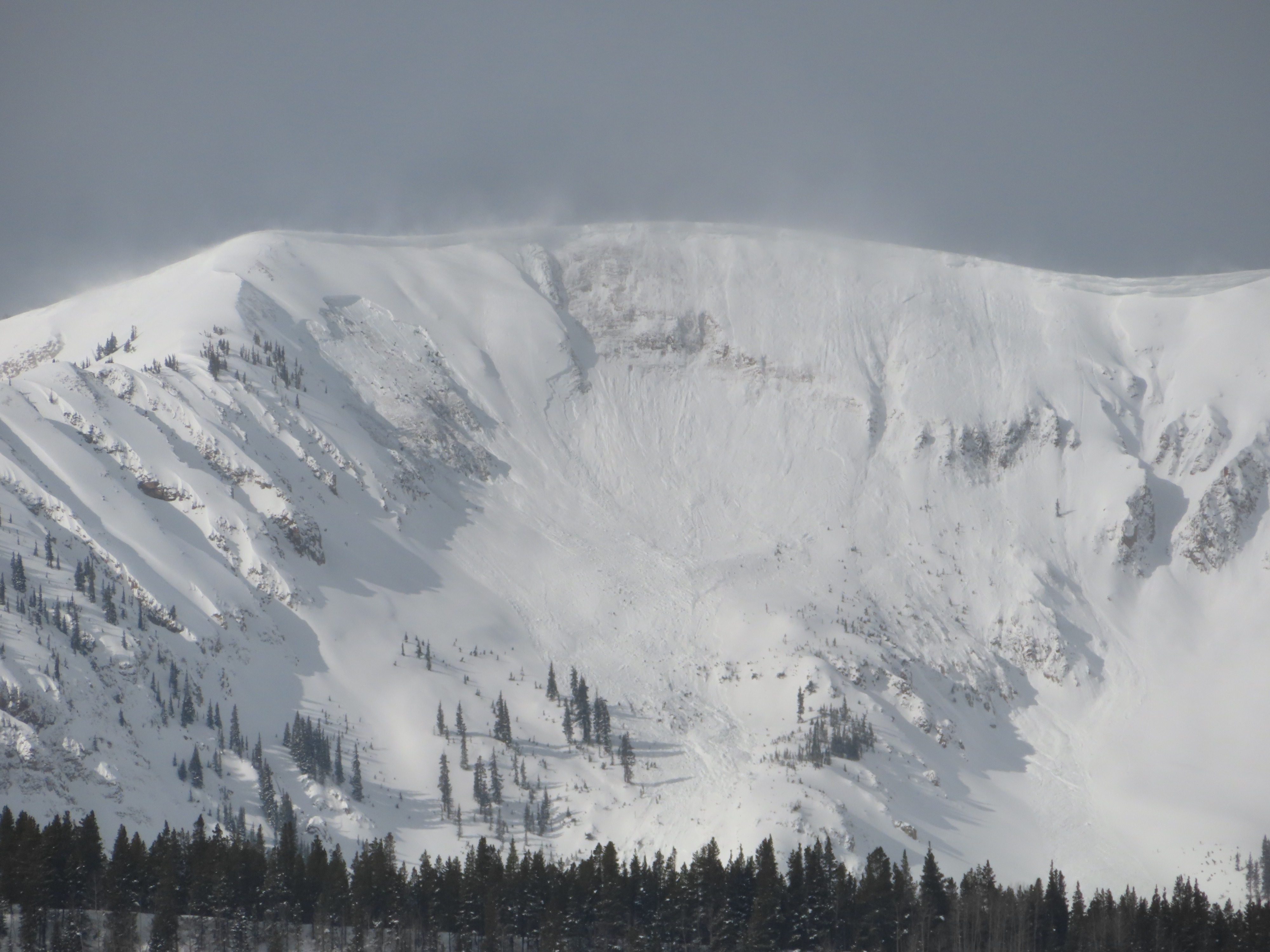
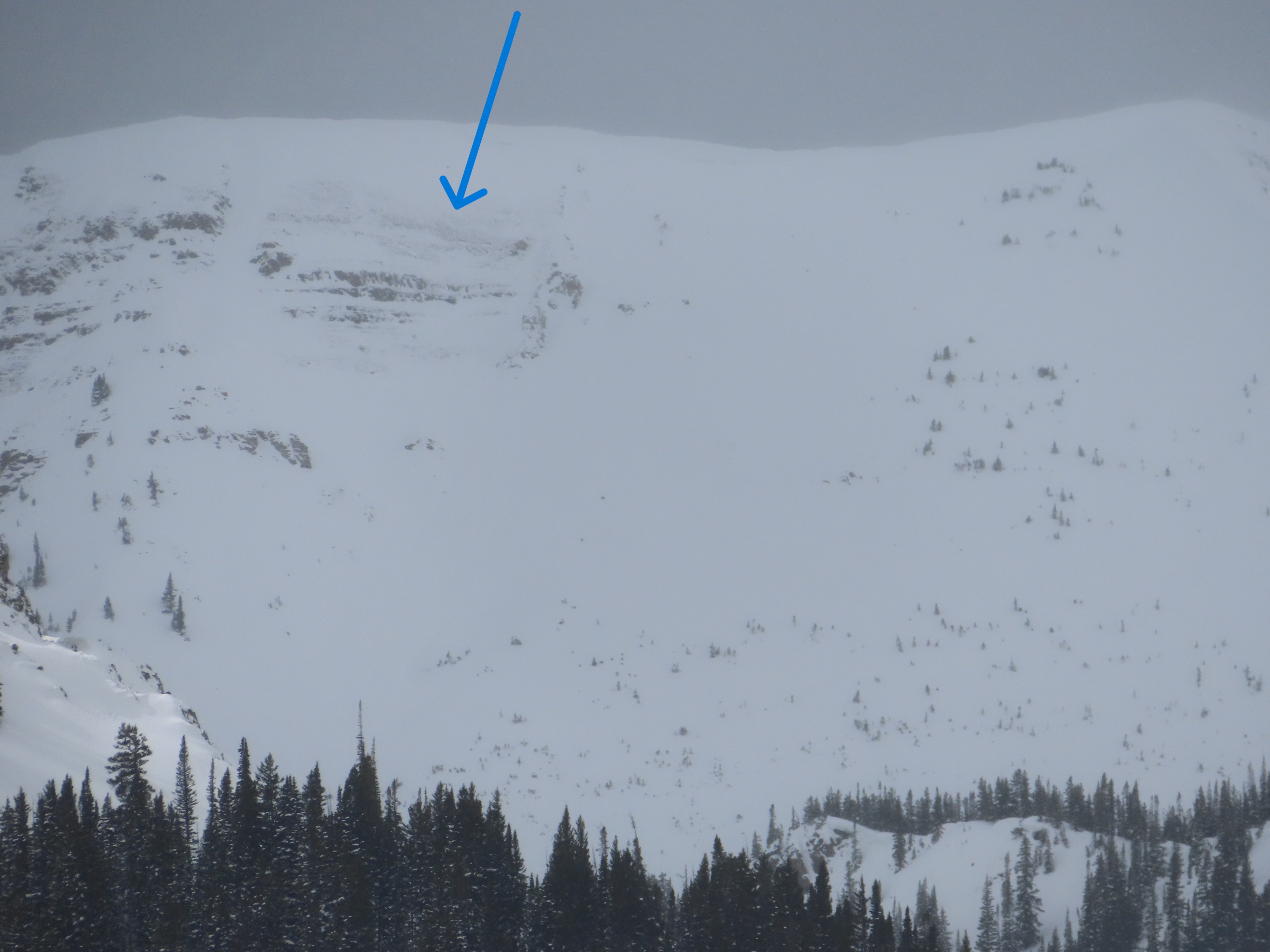
Several large (or perhaps very large) persistent slab avalanches ran recently on wind loaded slopes, appearing to fail on weak layers near the ground. Two on Axtell are new since I looked at that slope around 7 a.m. One on Scarp Ridge that probably ran sometime in the past day or two. Also, there was a brown skid mark on the Shield, but the vis was too poor to make sense of it.