
Quick report
- Cracking
- isolated
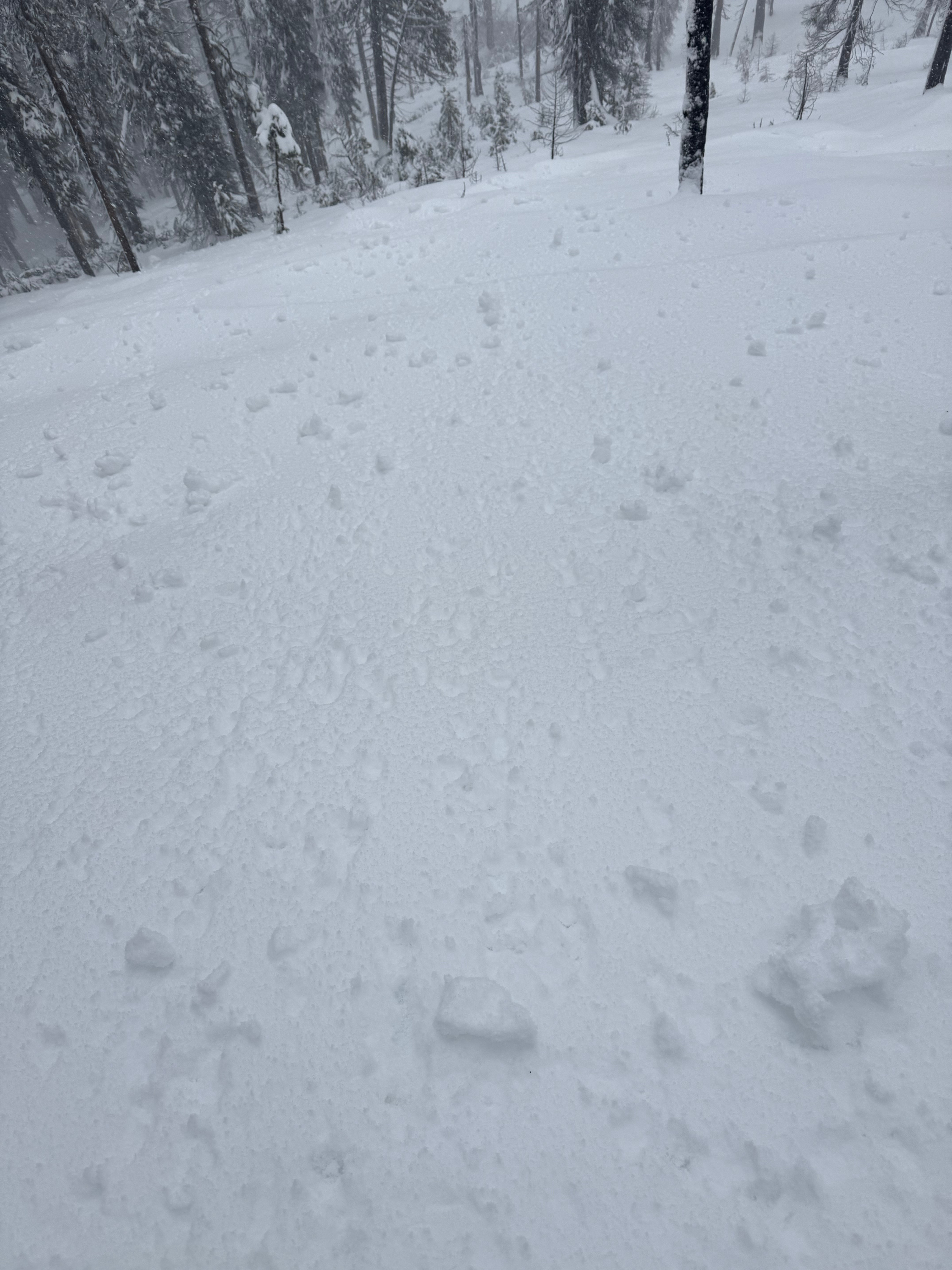
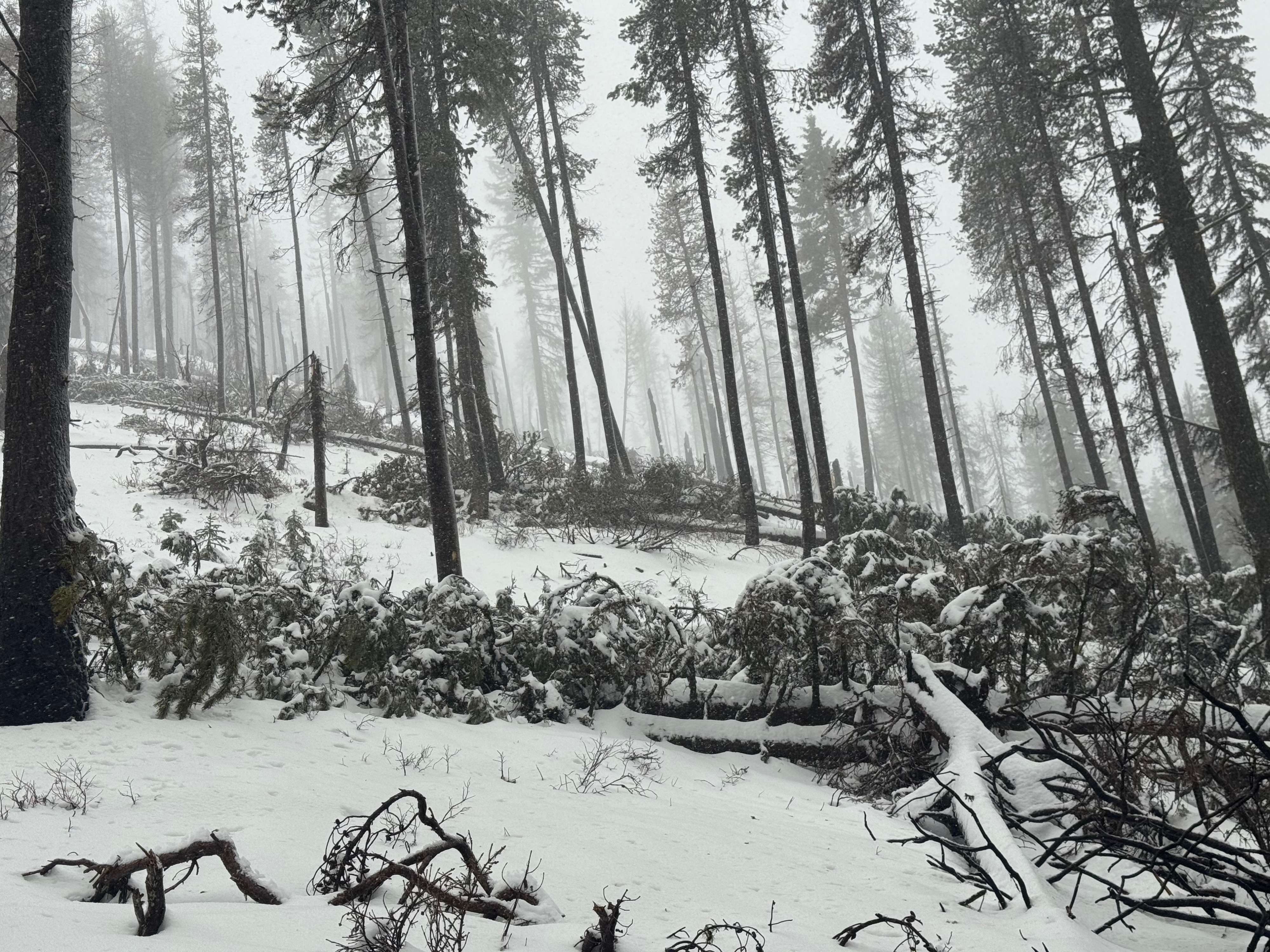
Wet, heavy snow with an inversion above frozen old snow. Many downed large trees from this week's wind event. This will change how folks ski this area (see photo). I was not in avalanche terrain today. Based on everything I saw, I would avoid avalanche terrain at this time, today's forecast is spot-on. The clear cold night in the forecast may set the wet snow pack up into a good, albeit thin, base. I'm still traveling on high-booby-trap alert. Very minor cracking
Weather
- Air Temp
- 37 uopn arrival 34 when I left at 6600'
- Cloud Cover
- obscured
- Wind Loading
- moderate
- Rain Elevation
- 6500'
- Recent Snowfall
- 11-2" after the rain turned to snow this aftrenoon.
- Snow Avail For Transport
- moderate amounts
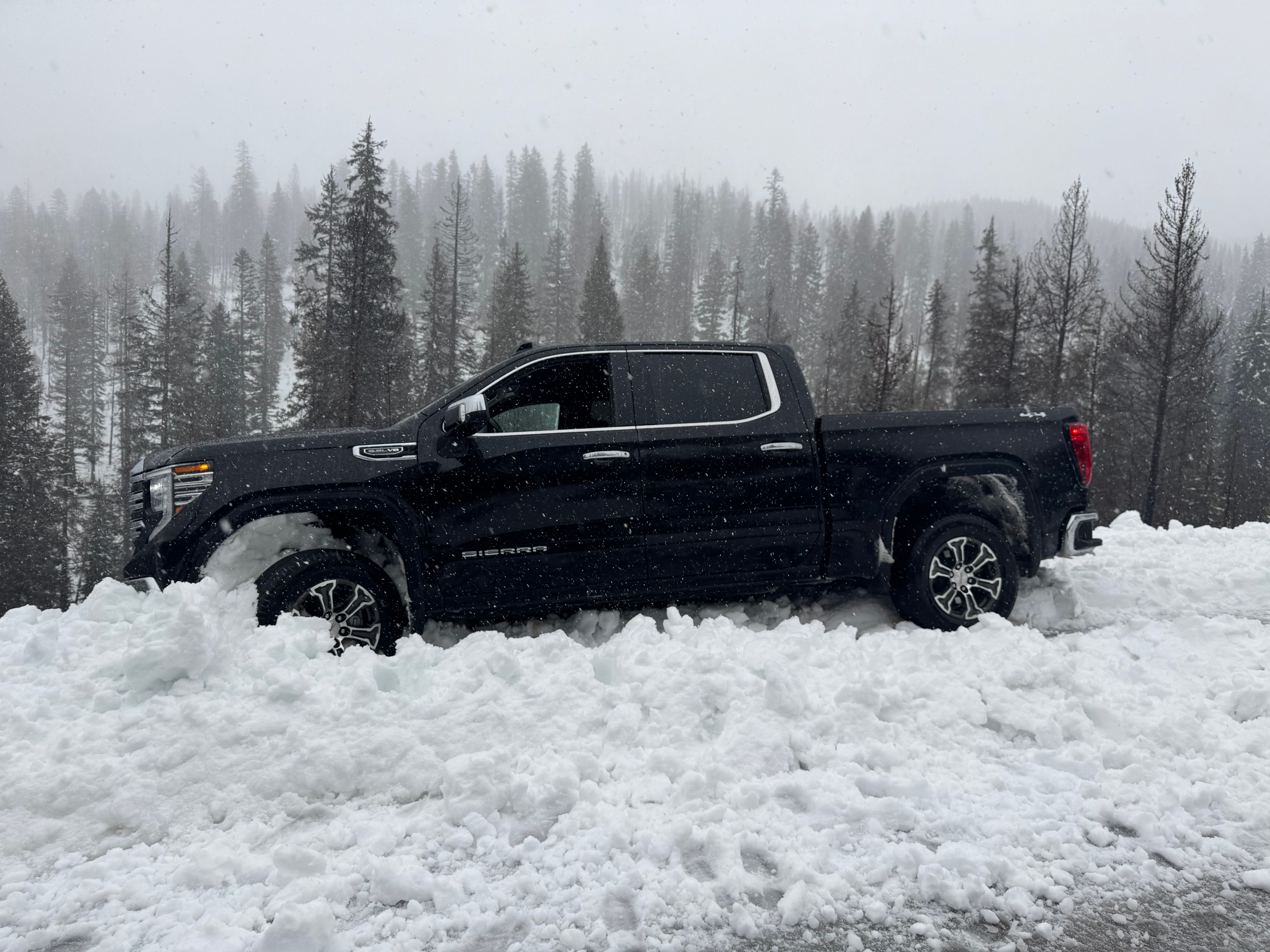
A damp day, fairly miserable.
Snowpack
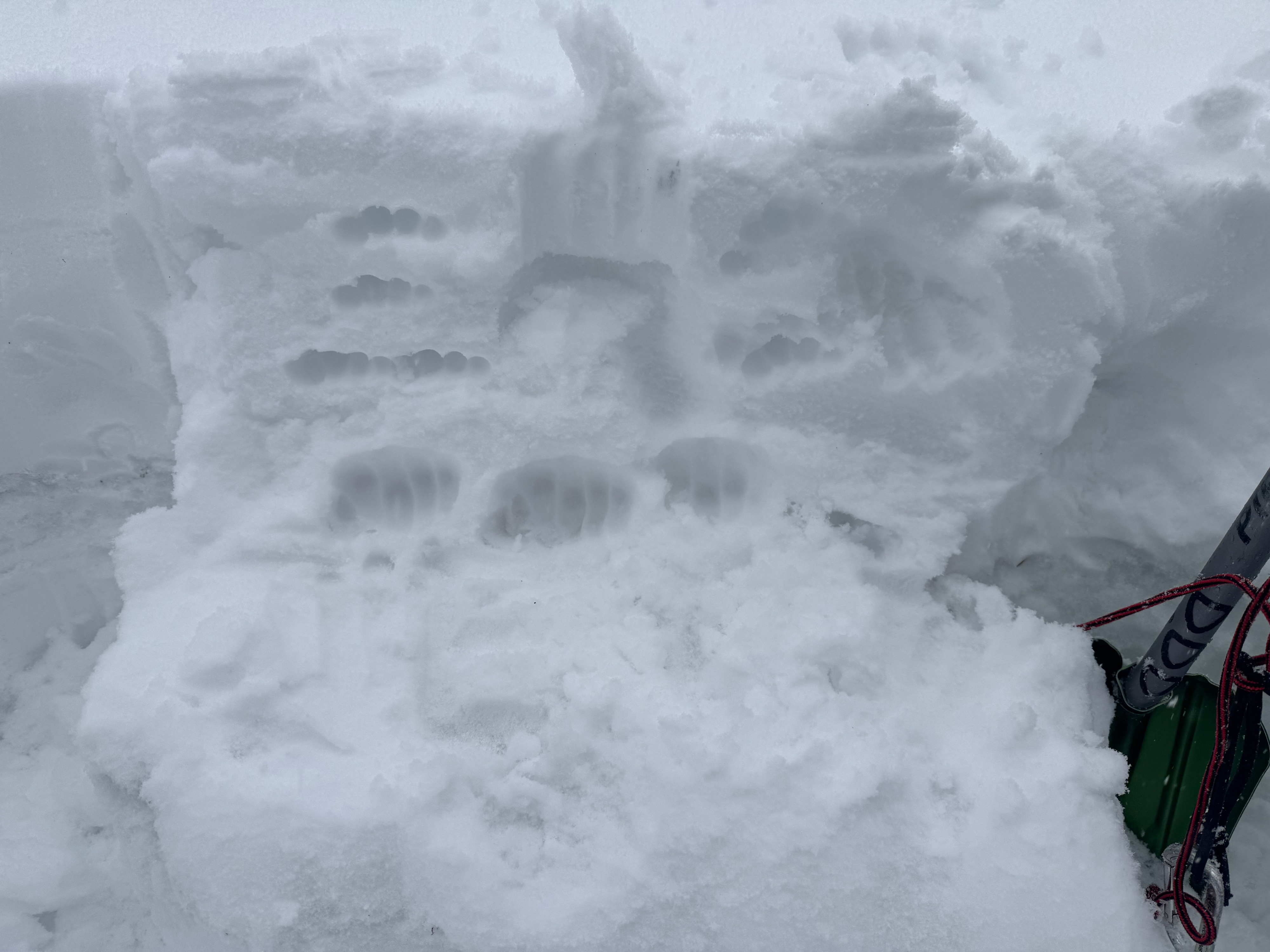
Wet! HS 65cm (25" or so), 14" of storm snow sitting on top of knife hard crust overlaying pencil hard melt-freeze forms. Upper 8" of storm snow is saturated, remainder is damp-wet, it was raining at 6500 today before it turned back to snow. One quick pit @7,000'. ECTP7 Q2+ at 12" depth. ECT failed in a density inversion about an inch or two above the crust. 4-finger above fist density. the fist density is where the ECT Failed (see Photo)