
Quick report
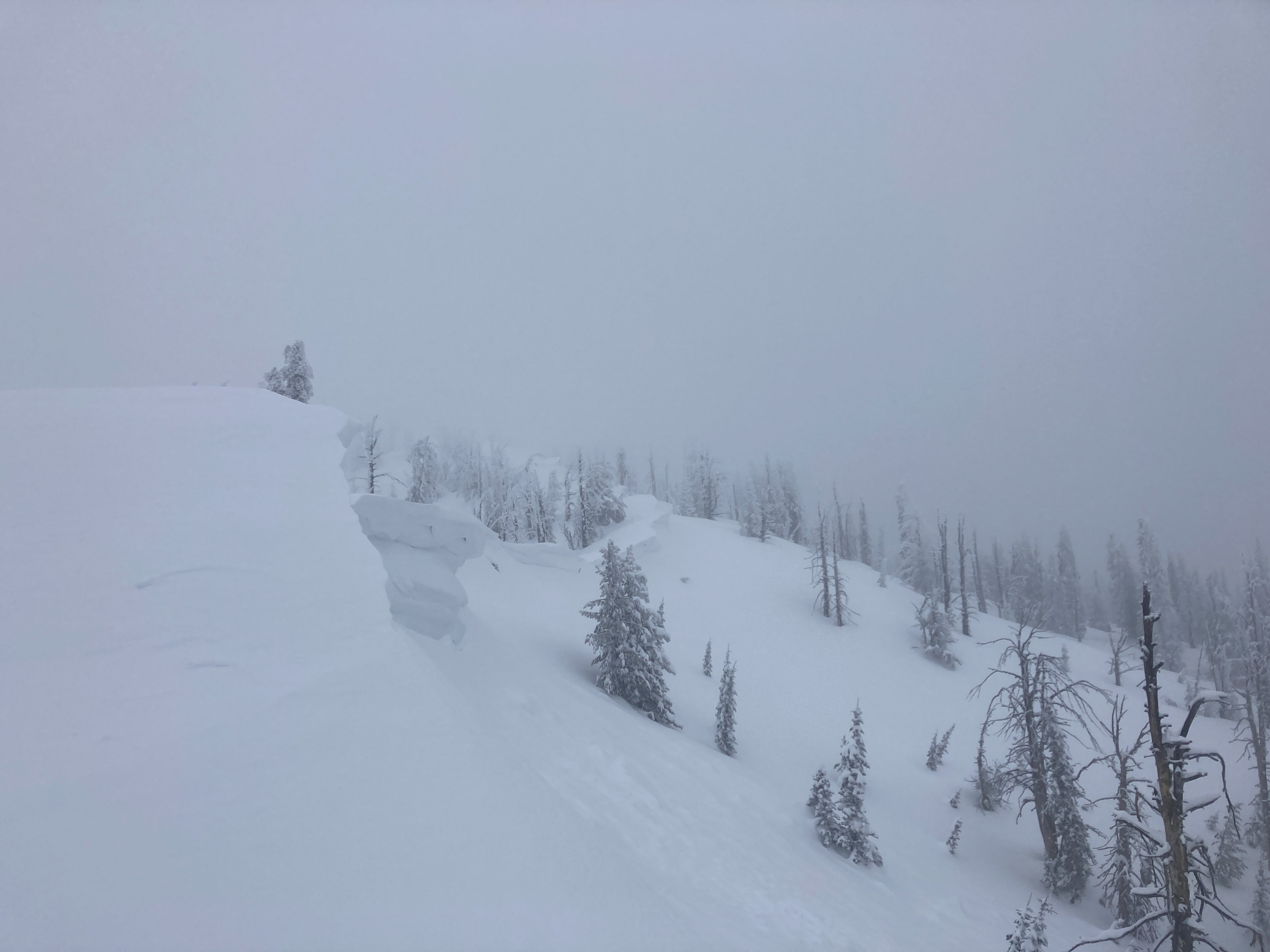
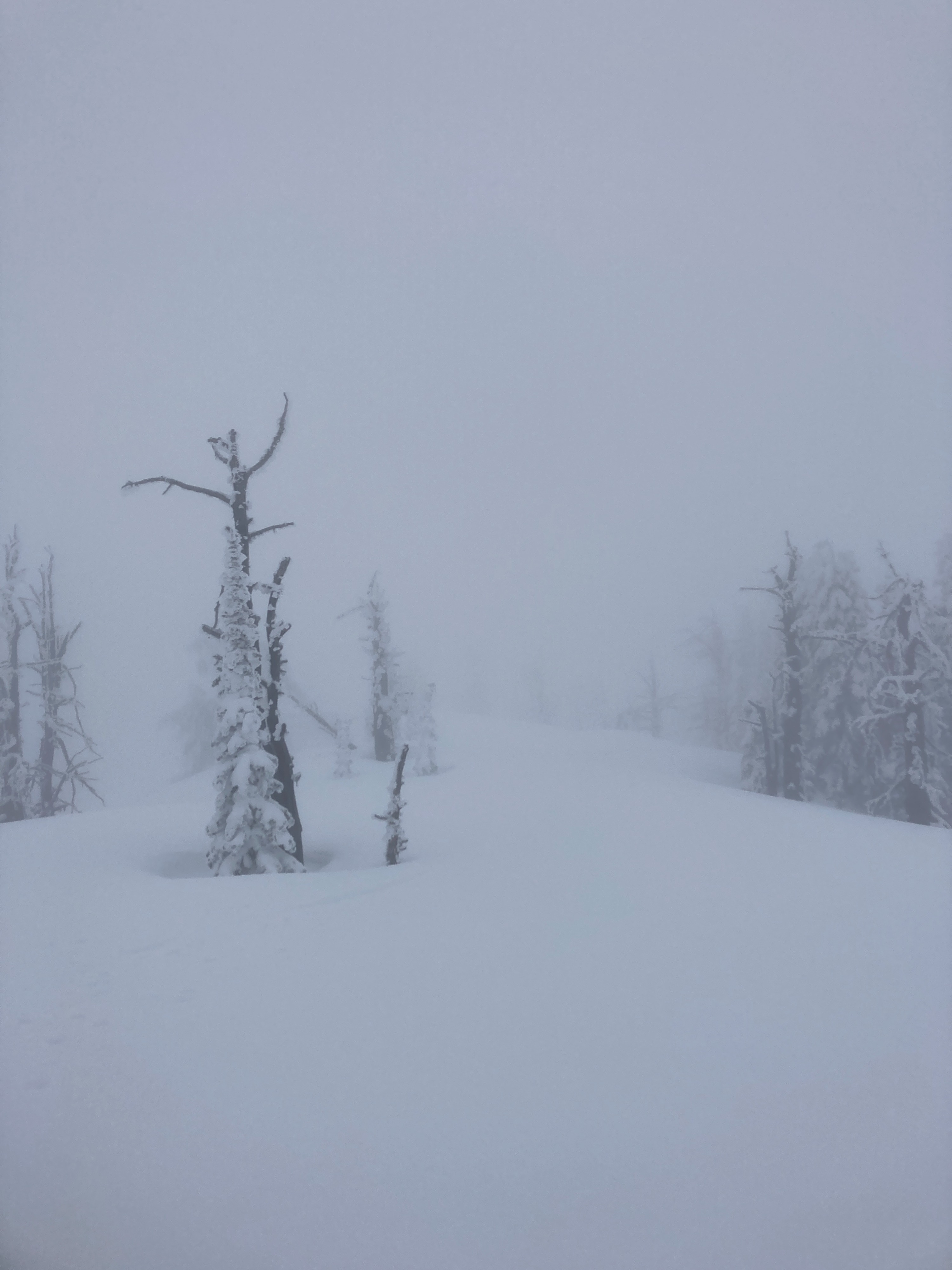
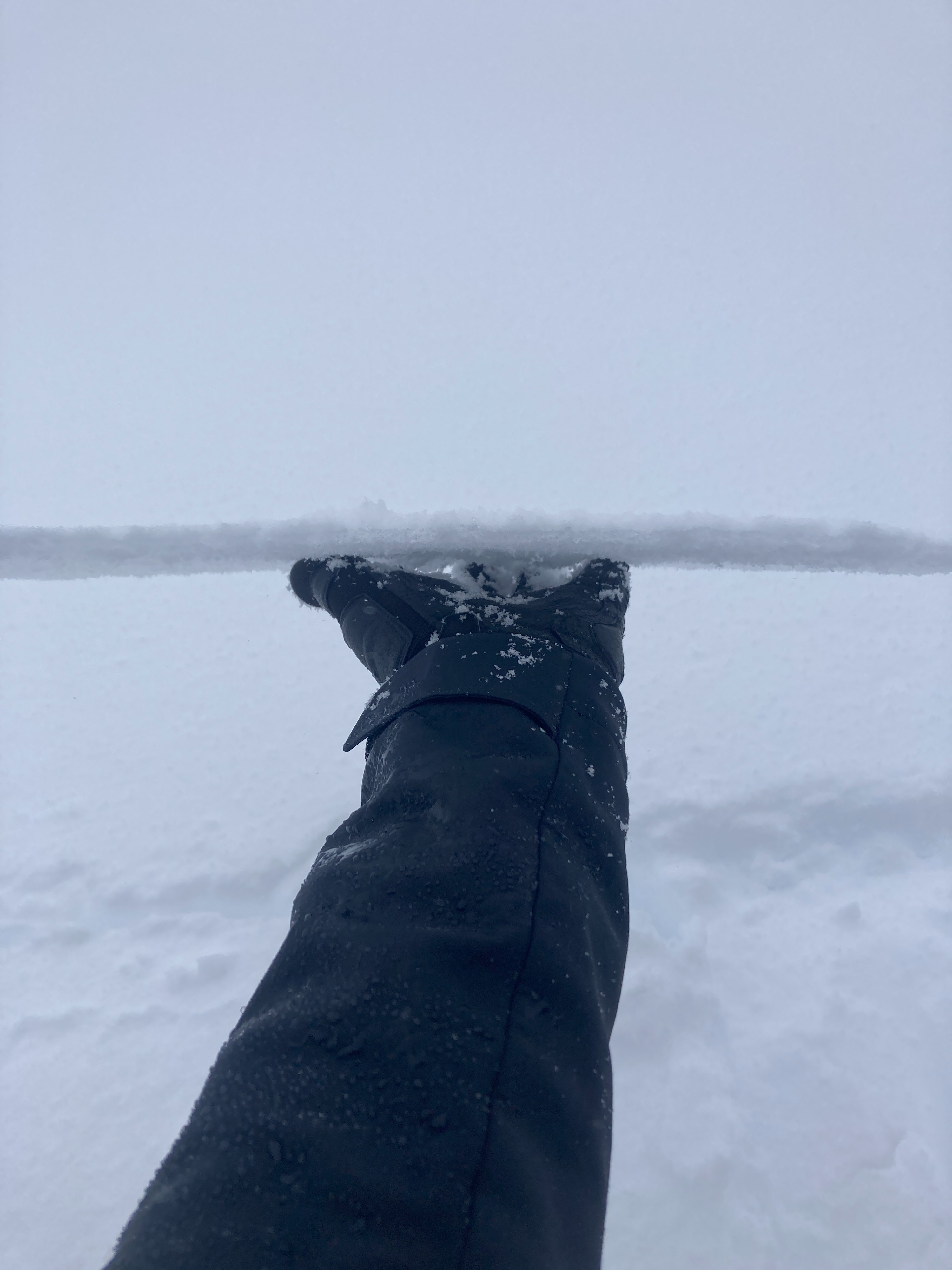
Friday was a great day to stay at home and read a book. The interior Northwest felt a lot more like the Pacific Northwest. A breakable rain crust and extremely poor visibility, it was a day only a mother could love. Potential for a persistent slab problem to be emerging with this next round of snow, especially on aspects that developed a melt-freeze crust on Wednesday. The rain crust capped the snow surface and limited available snow for transport. Two crusts (one at the surface, soon to be buried, and another 15-30 cm down) with an incoming storm expected to bring another 6-12", could make avalanche conditions a little spicey this weekend.
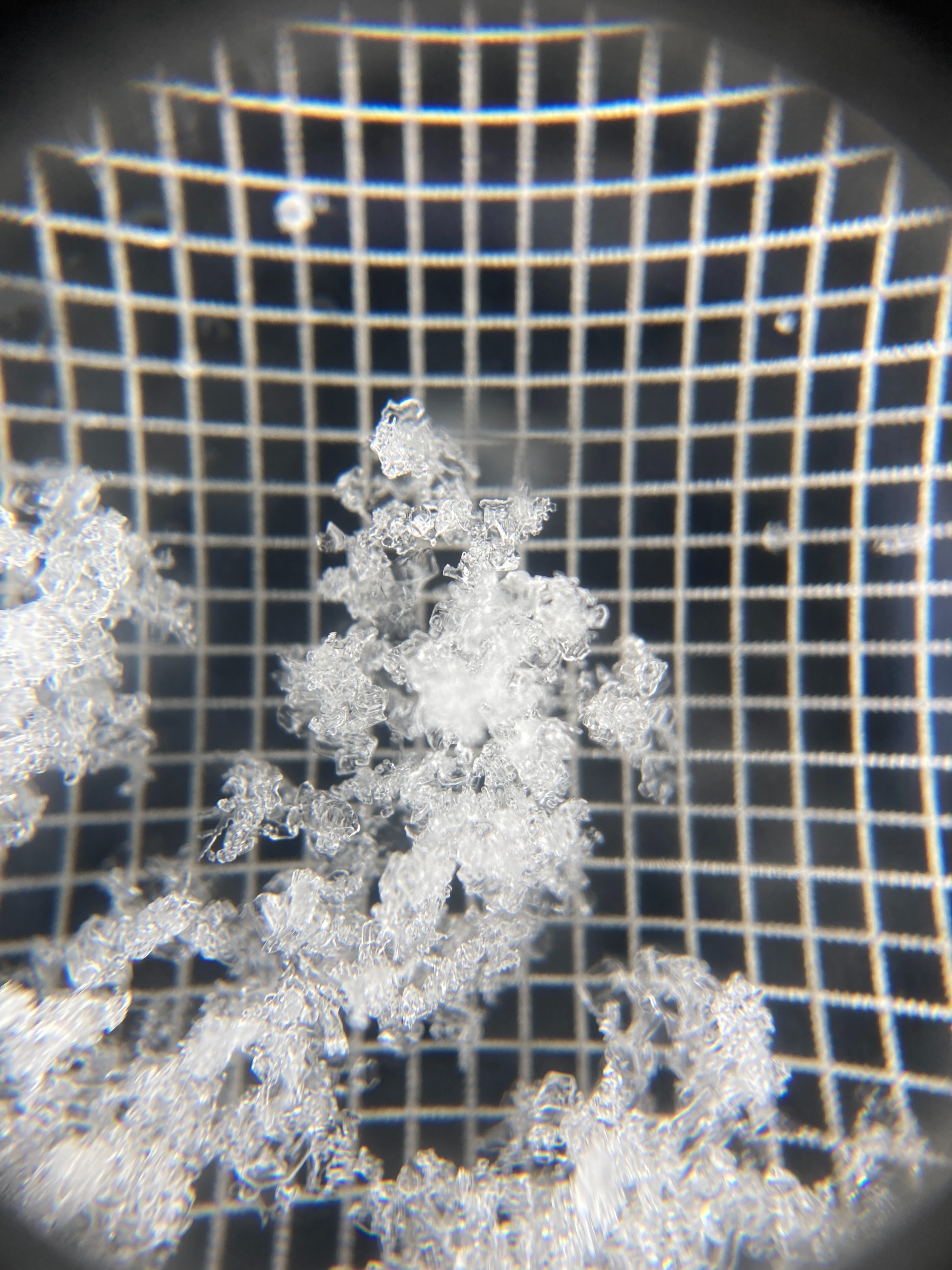
The only signs of instability were observed in ECTs in snow pits. ECTP 6 & 9, 15 cm (6") down on SE aspect, NSF atop melt-freeze crust from Wednesday.Weather
- Cloud Cover
- obscured
- Wind Loading
- light
- Rain Elevation
- 7600
- Recent Snowfall
- 15-25
- Snow Avail For Transport
- small smounts
Light rain was falling this morning all the way up to 7600'. Thick clouds obscured any visibility above 7000'. Temperatures have been steadily climbing throughout the day. Rain seemed to have quit around 1100 and left a thin, yet strong crust at the surface. Mostly thick clouds and no precipitation from 1100-1500. Winds were light out of south. Crust capped the surface, limiting available snow for transport.
Snowpack
Observed thin, rain crust up to 7600'. I dug two pits today. One was 7420', SE aspect, HS 265 cm. ECTP 6 & 9, 15 cm down on 0.5-1 mm NSF atop 3 cm thick melt-freeze crust from Wednesday. Second pit was 7450', NW aspect, HS 420 cm. ECTN 13, 25 cm down at thin melt-freeze crust from Wednesday. No facets and no propagation observed on polar aspect. SkiPen was 15-20 cm, BootPen was 40-50 cm.