
Quick report
- Cracking
- isolated
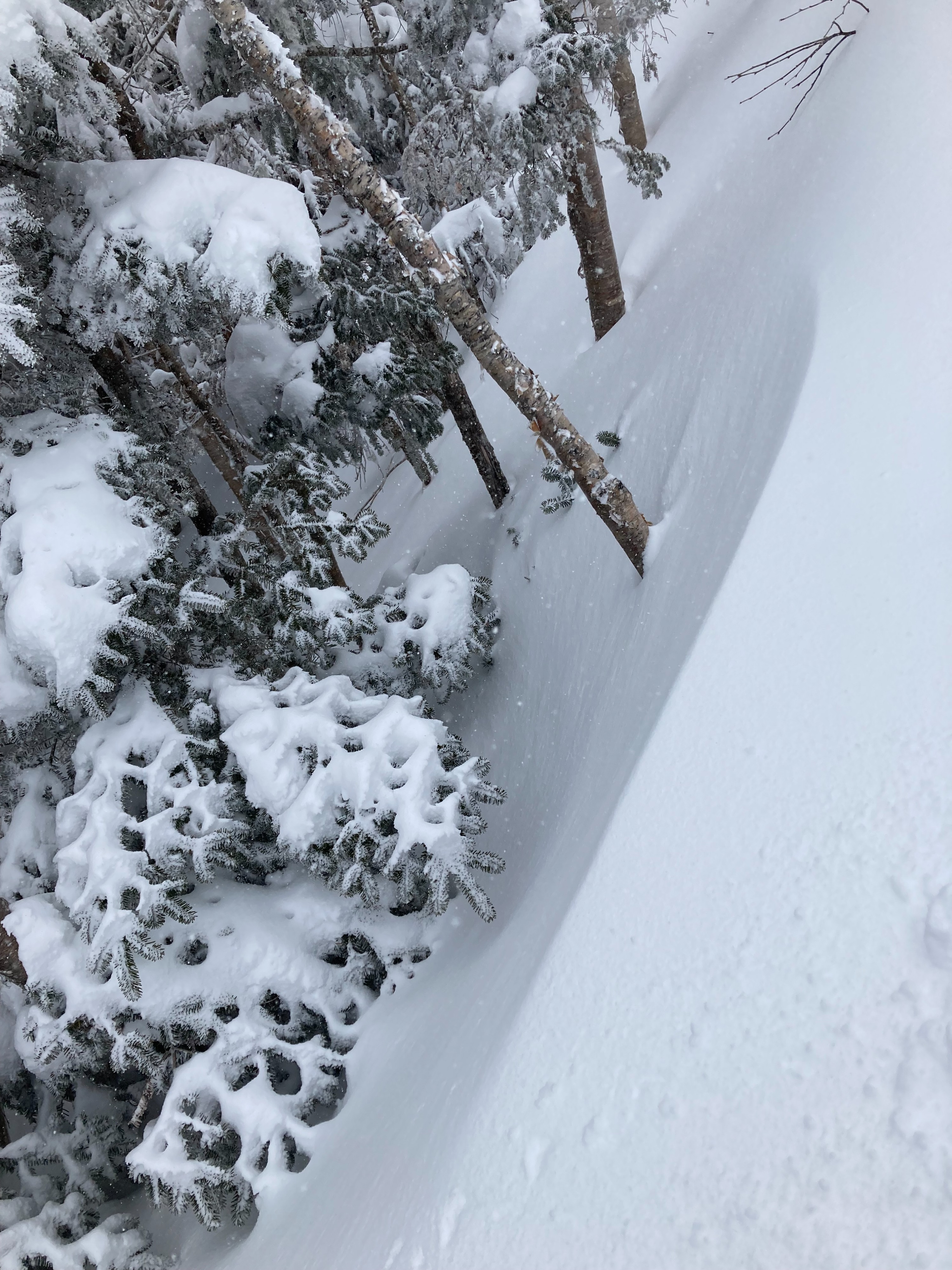
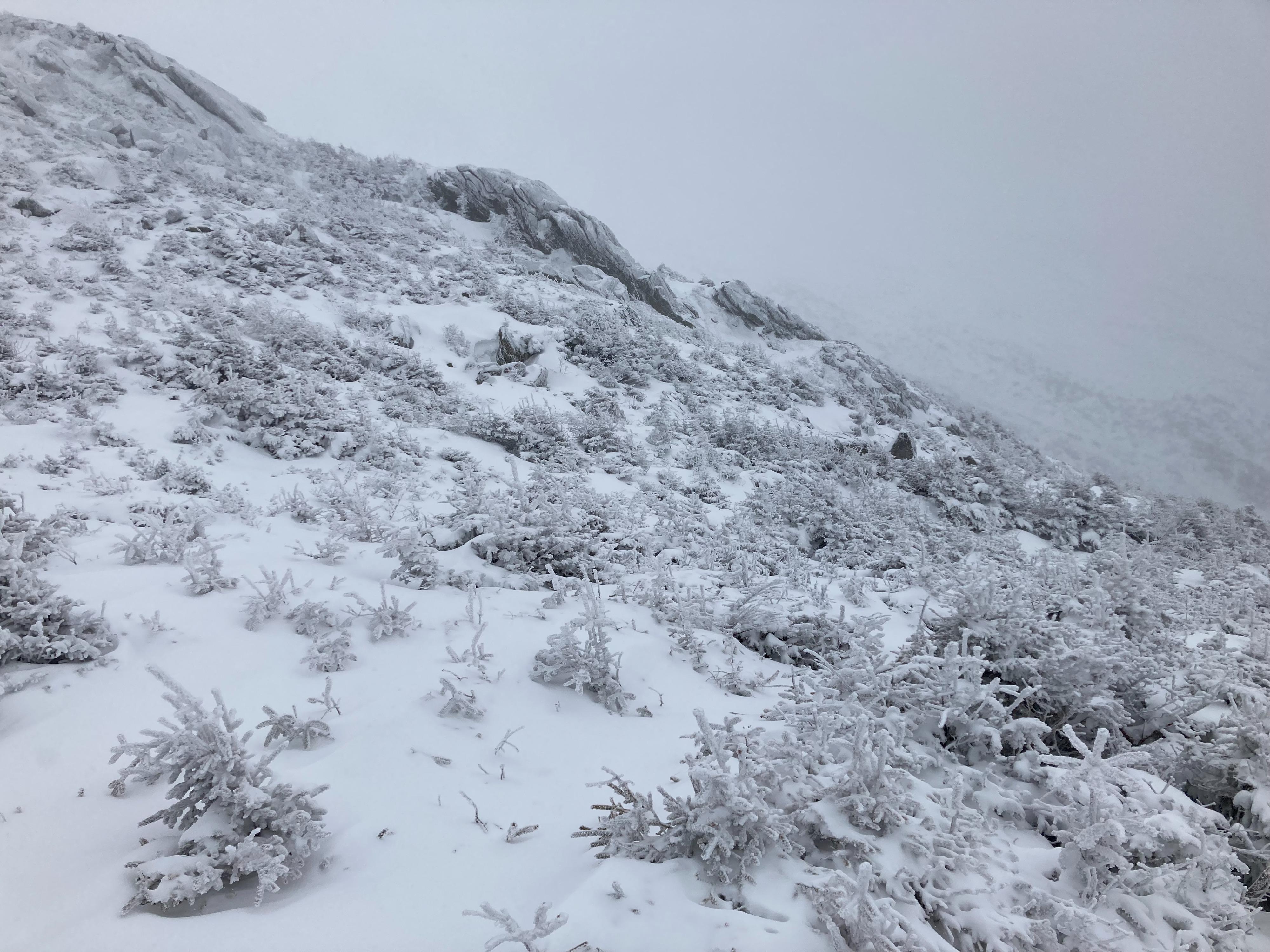
Much of the new snow was being eroded from the surface and redeposited on leeward features facing southeast. Rime was covering trees and surface objects. Western ravines were difficult to see from clouds and blowing snow, but some of the confining terrain was loading with wind blown snow.
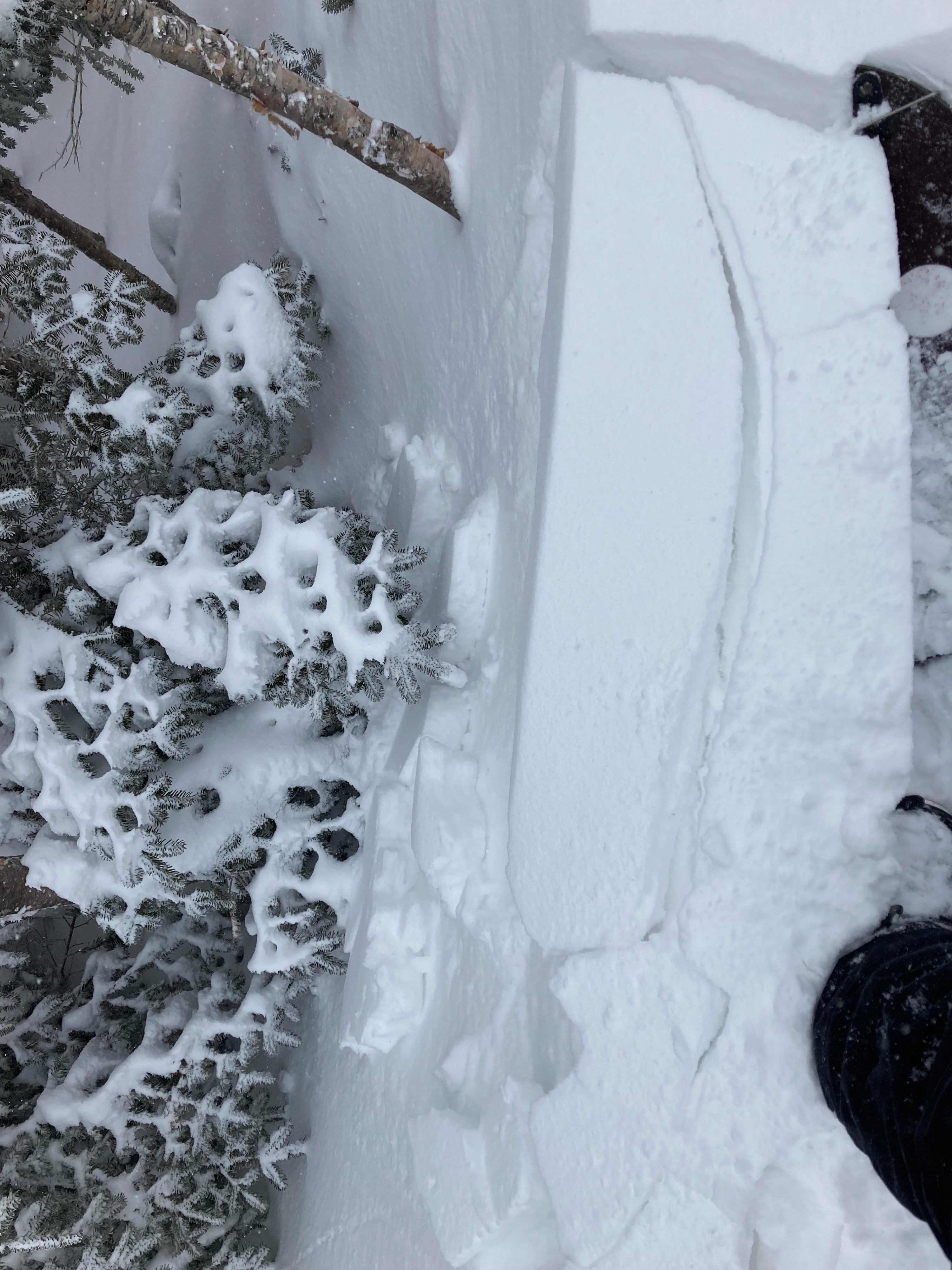
Small isolated pockets of wind drifted snow on leeward terrain features. Active wind redistribution of loose dry snow. Soft slabs of 4F hardness found to crack locally underfoot and on wind sculpted features.Weather
- Air Temp
- -5
- Cloud Cover
- overcast
- Wind Loading
- moderate
- Recent Snowfall
- 4 inches
- Snow Avail For Transport
- moderate amounts
Overcast skies and -5F degrees at 4800 feet in elevation. Moderate northwest winds with strong gusts exceeding 50 mph, more intense winds above my location nearer to summit. Blowing snow and actively snowing at a rate of S1.
Snowpack
New soft snow is actively falling and loading on southeast aspects from moderate winds. Soft slabs of 4F hardness up to 10 inches thick above ice layer or older wind drifts. Thin coverage in many locations near and above treeline. New snow is comprised of wind-broken particles, rime, graupel, and needles. Stubborn sensitivity but could get failures within new snow or down to ice layer with moderate forces applied.