
Quick report
- Collapsing
- isolated
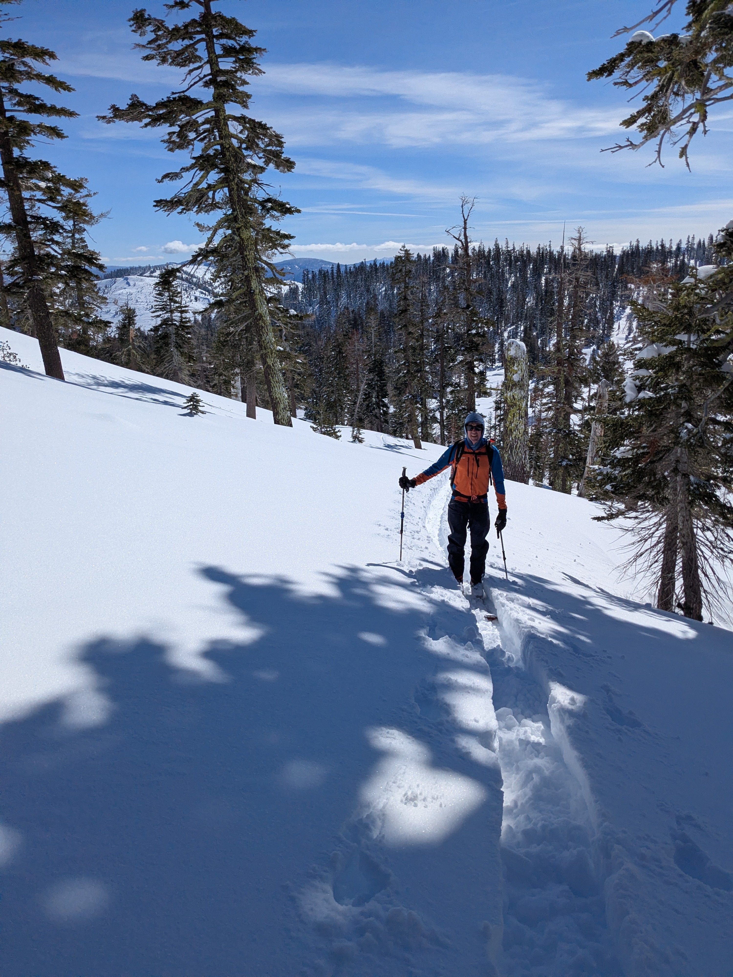
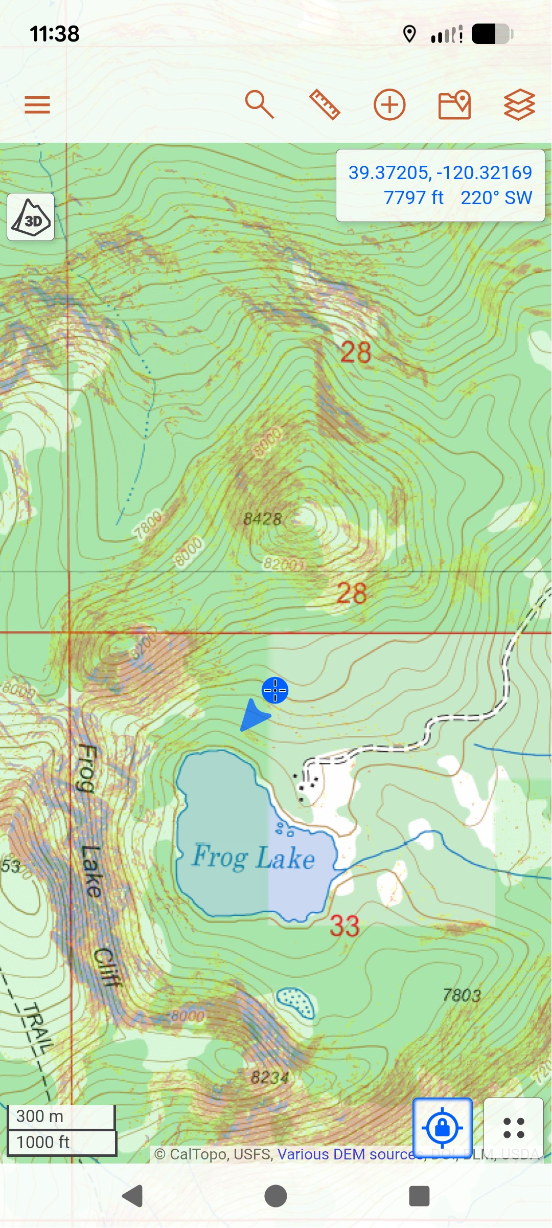
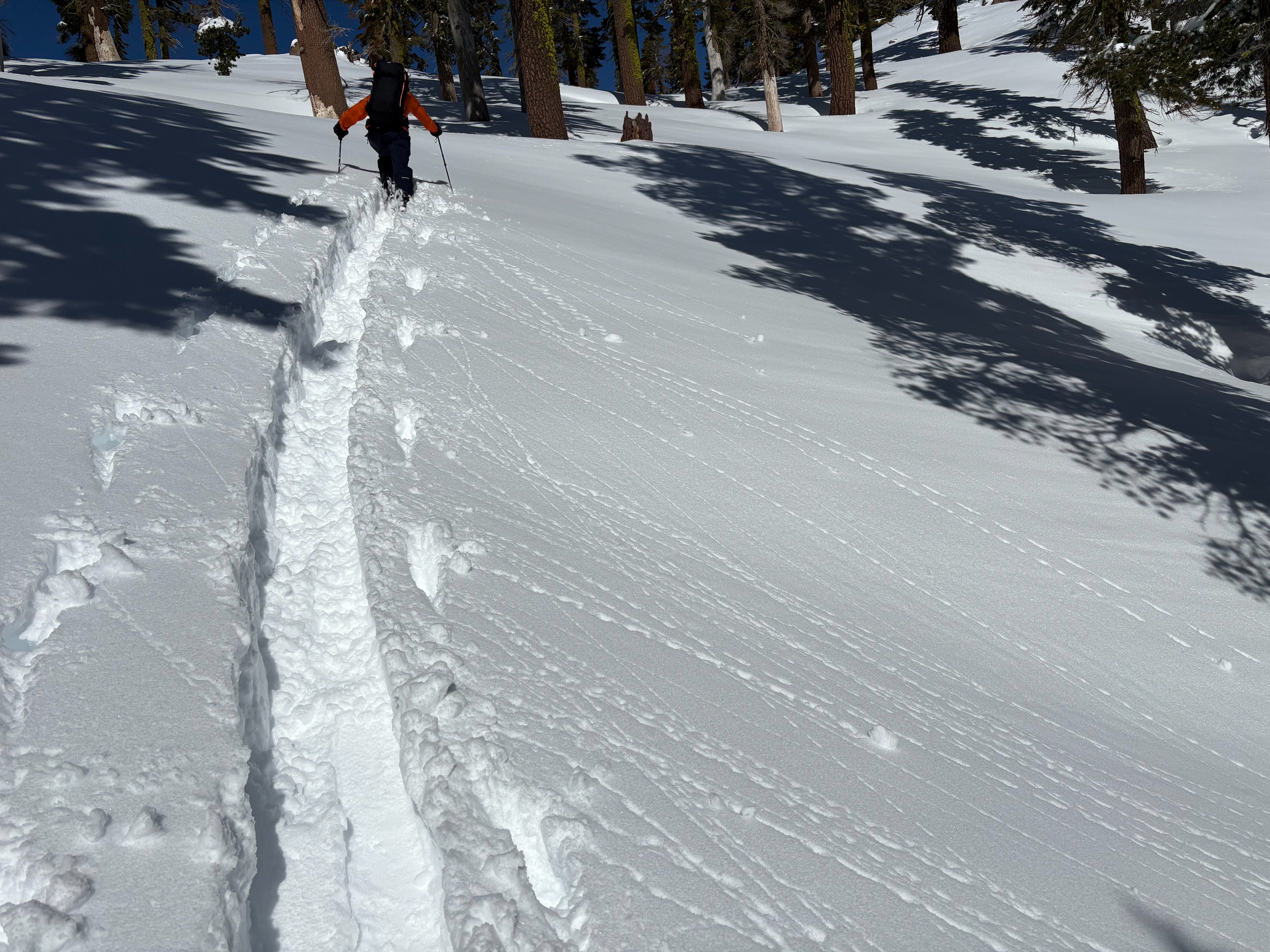
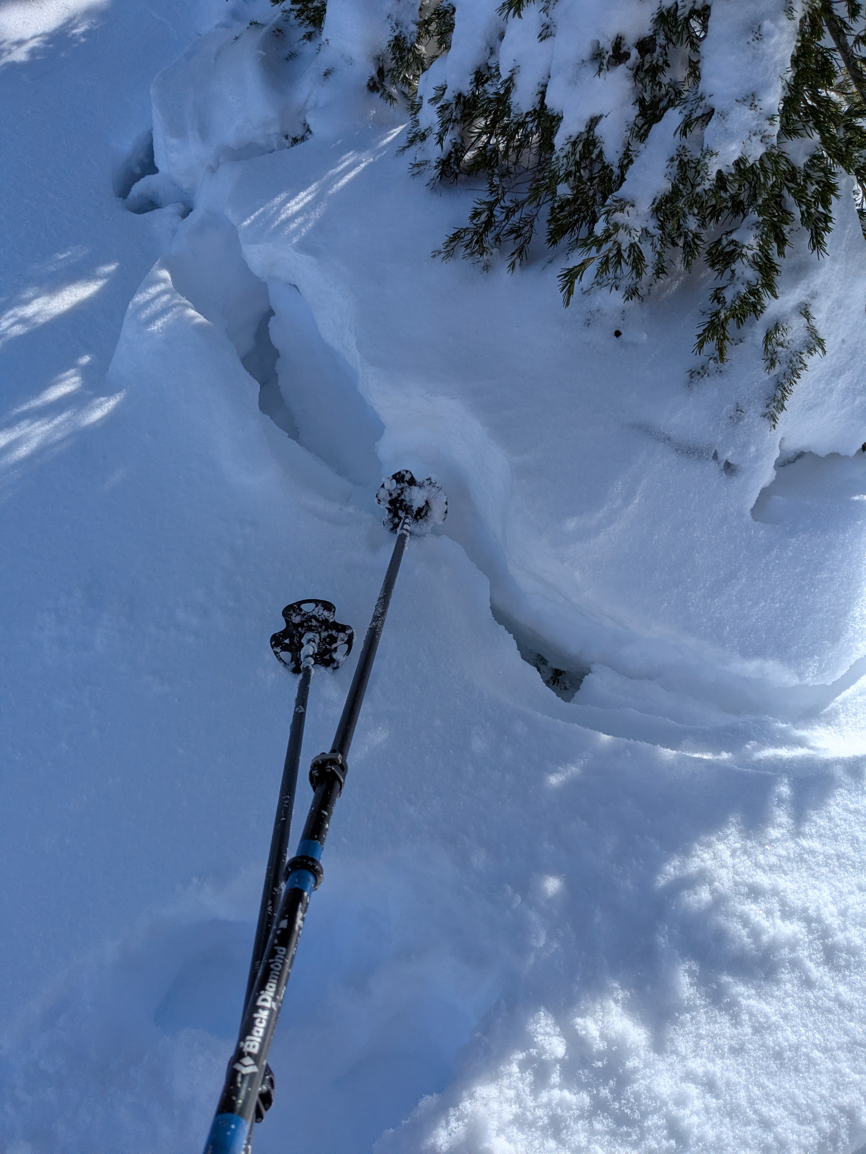
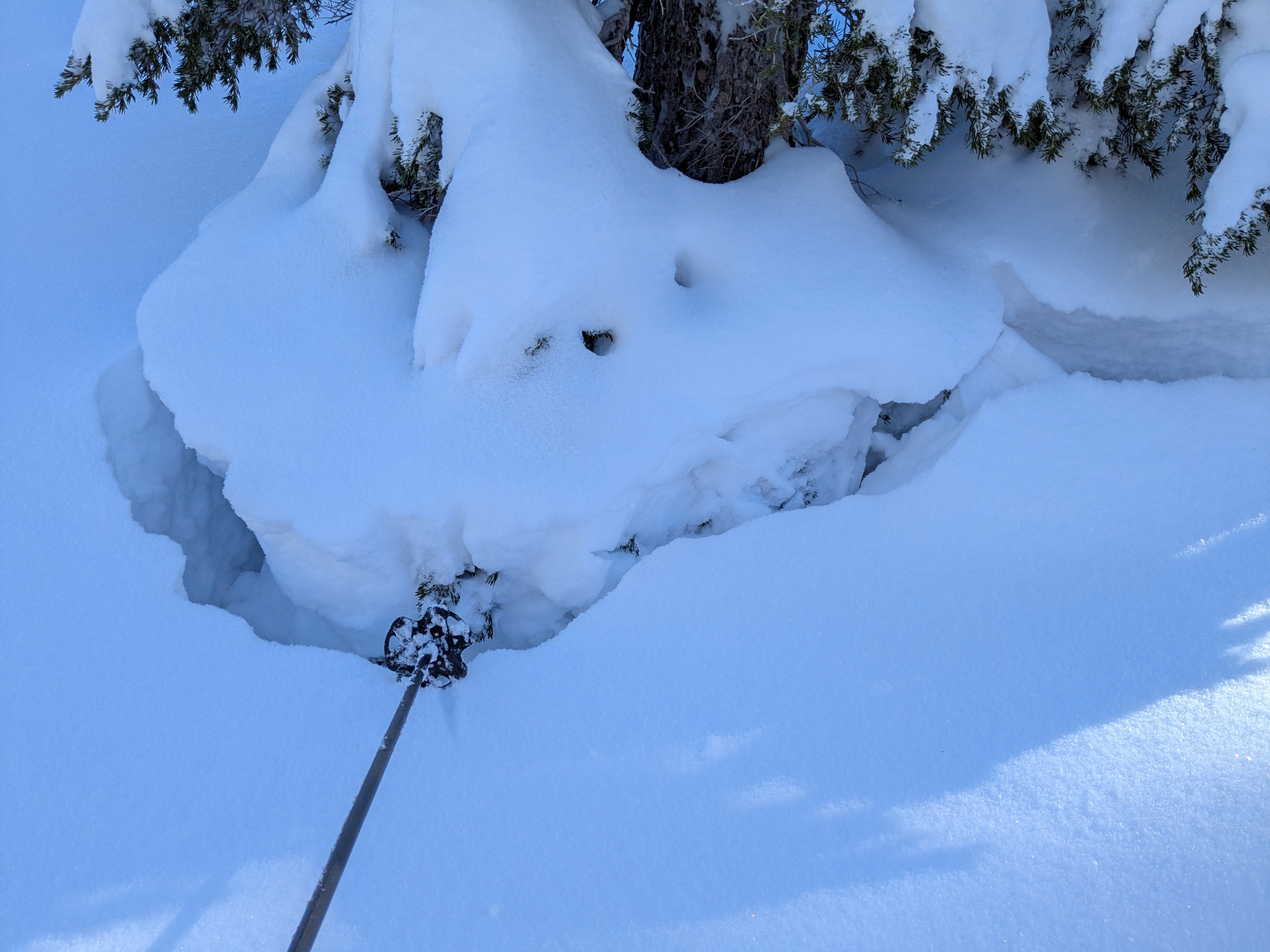
With permission granted to us to access terrain inside the Tahoe National Forest closure area and permission to cross Tahoe Donner Land, we headed to Perry Peak today to make observations. Ascending S to SW aspect terrain from the Frog Lake Huts up to the saddle between Perry Peak and Horse Peak (Red Dot Pass) we triggered a single, large, slope scale collapse on a SW aspect at 7,800'. At this location, we probed an HS of 170 cm and felt a crust 40 cm above the ground.
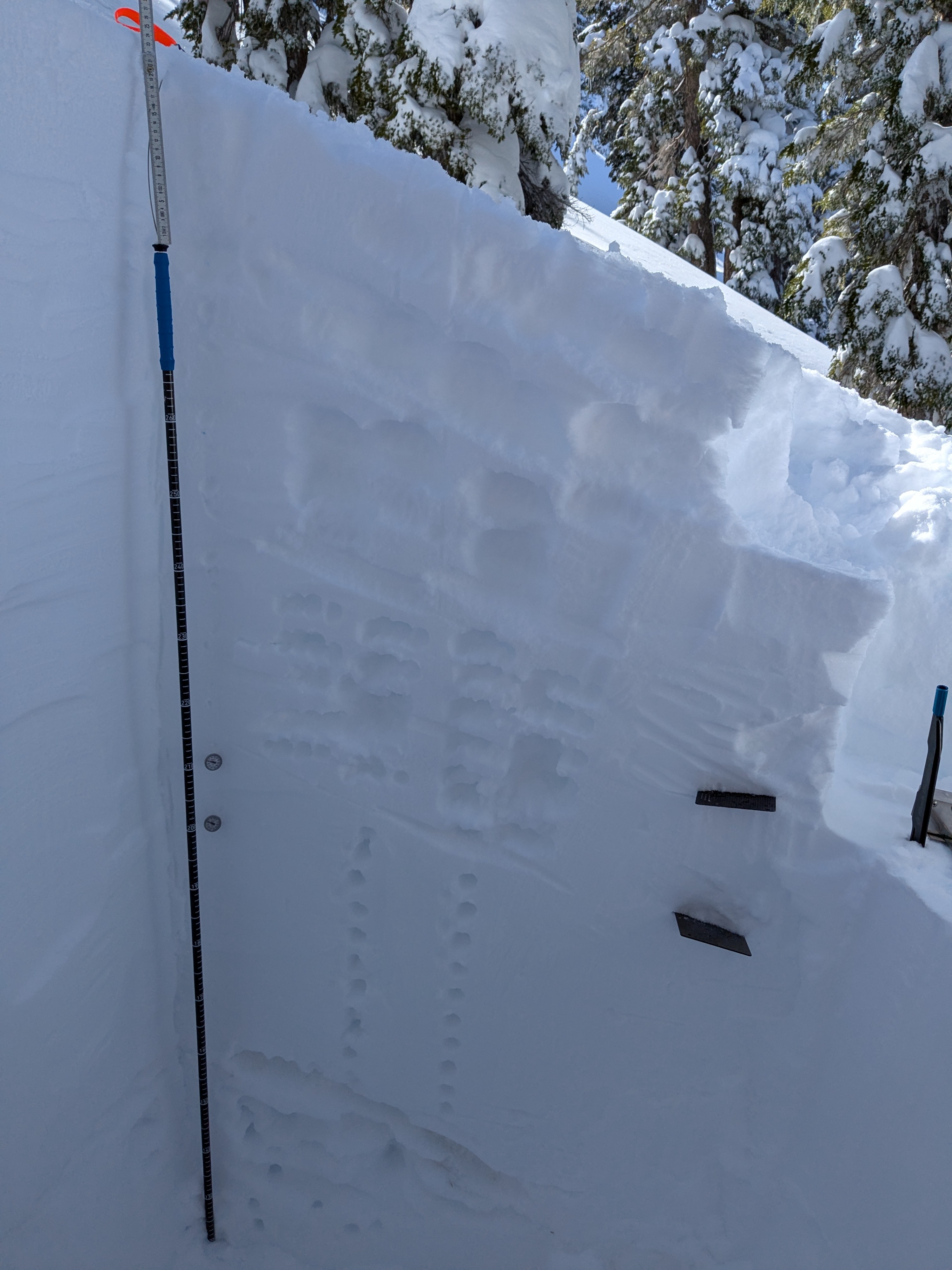
Once on the ridgetop we traveled west towards Perry Peak. We dug a snowpit in near treeline terrain on a 24 degree, N aspect slope, at 8,160', which due to decreasing slope angle across the terrain, should have been beyond the eastern flank of the avalanche that occurred in this area on Feb 17. We dug down to a little below the Feb 10 weak layer. Snowpit test results did not reveal any signs of instability. The slope is reported to have had heavy skier traffic prior to the start of snowfall on Feb 15. The large, slope scale collapse we triggered on the approach was a clear indication of some continued snowpack instability in the general area.
We noted minor amounts of snow surface warming as we ascended south aspect terrain at midday. There was a new sun crust on the snow surface when we descended through the same area at 2:20 pm.
We triggered one, large, slope scale collapse on SW aspect terrain at 7,800'.Weather
- Cloud Cover
- few
- Wind Loading
- none
- Recent Snowfall
- 170
- Snow Avail For Transport
- large amounts
Mostly clear skies with very light winds.
Snowpack
Snowpit in near treeline terrain on a 24 degree, N aspect slope, at 8,160'.
Avalanche
- Size
- D2.5
- Type
- SS
- Aspect
- N
- Elevation
- 8260 ft
March 31 update: We have posted a more in depth report of the avalanche accident on avalanche.org (https://avalanche.org/avalanche-accidents/#/report/cc583756-68b3-4e06-9fa9-769af352fc18) A group of 15 backcountry travelers were involved in an avalanche below Perry's Peak around 11:30 am on Tuesday Feb 17, 2026. 13 people were caught in the avalanche. Remaining members of the party performed a companion search and were able to rescue 3 buried individuals. Search and Rescue arrived on scene in the late afternoon and excavated 8 of the 9 remaining deceased victims, working into darkness in high-intensity storm conditions. Search and rescue teams evacuated 6 survivors from the scene that night under their own power to Frog Lake Huts, and out to definitive care via snowcat. After the storm ended, avalanche mitigation efforts were performed on the slope on the afternoon of Friday, Feb 20, using PG&E helicopters with ~5500 lb, 660 gallon water buckets that were placed and dragged on the slope, and full load water drops on the slope in many areas. No additional avalanches were triggered with these mitigation efforts. Following avalanche mitigation, search and rescue was able to remove 5 of the deceased and found the 9th buried victim before nightfall. Rescue operations concluded on Saturday Feb 21, following the retrieval of the last 4 deceased. Sierra Avalanche Center forecasters also visited the area on Feb 20 to make observations and provide assistance to the SAR teams. The snowpack and observation data from Feb 20 can be viewed here: https://www.sierraavalanchecenter.org/observations/5c6a07bd-081d-487b-a520-95888574759c#/observation/5c6a07bd-081d-487b-a520-95888574759c Sierra Avalanche Center forecasters and SAR teams returned to the area again on Friday, Feb 27. The SAR teams dug out the victims' remaining equipment (mostly skis and poles). The forecasters gathered additional data on the terrain. The victims were all buried in a small area (~ 6m x 6m or ~20 ft x 20 ft) near the toe of the avalanche debris. They were buried between 1.5 m ( ~5 ft) and 2.4 m (~ 8 ft) below the surface. The party was buried in a small depression in the terrain, bounded by trees and boulders, which likely allowed debris to pile up in that small area. The alpha angle from the burial location to the estimated starting zone was ~22 ° (measured) to 25 ° (calculated from a map), and the slope angle in the area where the avalanche likely started ranged from about 36 ° to 40 °. The trigger, slab thickness, depth, width, and other details of the avalanche remain unknown and may never be known, as the storm buried the evidence under additional snow before it ended. At 11 am on Feb 17, the nearby CSSL Snotel site reported 40 inches of settled new snow since the start of the storm on Feb 15 from 2.7 inches of SWE and it was snowing at 4 inches per hour from 9 am to 11 am. We will update this page with any additional information that becomes available, but it may take some time due to ongoing investigations by other agencies into other aspects of this incident.