
Quick report
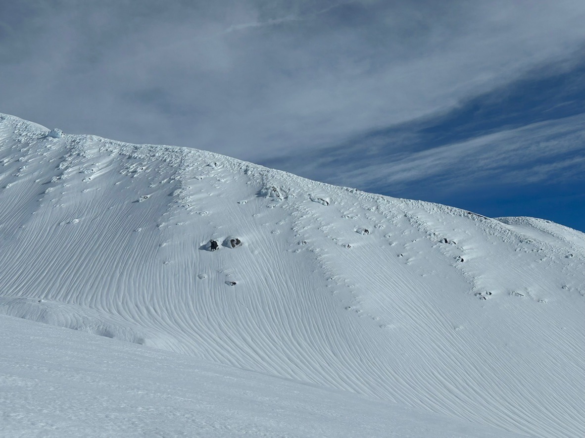
Wet avalanches and rain runnels paint the landscape extending to 9000 ft across the zone. Fortunately, wet snow problems are trending downwards, especially above 7500 ft where snow surfaces are firming up due to moderate/strong wind speeds. I expect snow surfaces to get really firm at upper elevations as temperatures drop in the coming days, elevating the risk of long sliding falls.
Most avalanches observed were 1-2 days old.Weather
- Air Temp
- High 40's
- Cloud Cover
- few
- Wind Loading
- none
- Snow Avail For Transport
- none
It felt like spring! Temps hovered near 50 degrees and the sun felt warm. At upper elevations, south winds notched up into the moderate range helping cool surfaces.
Snowpack
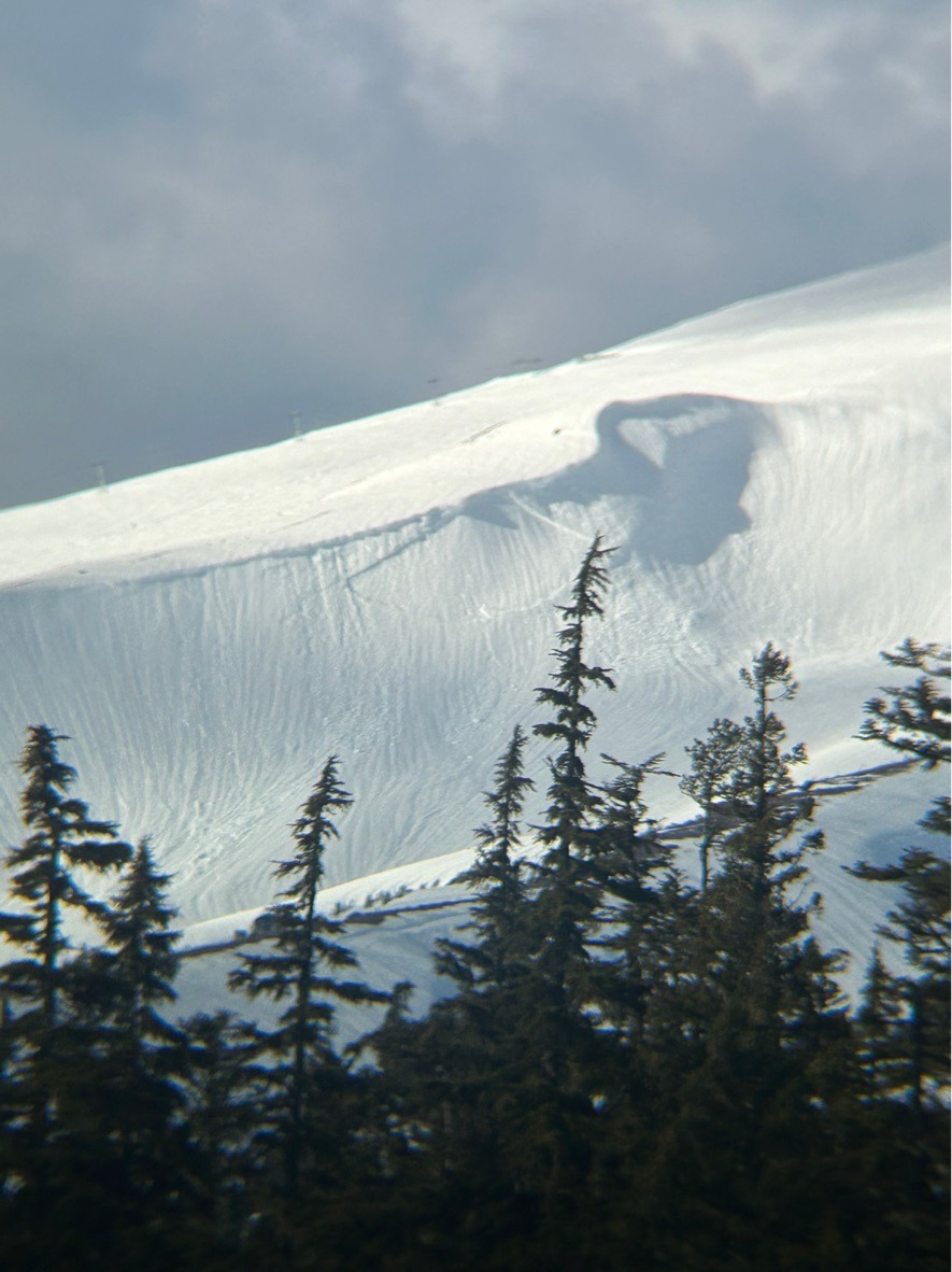
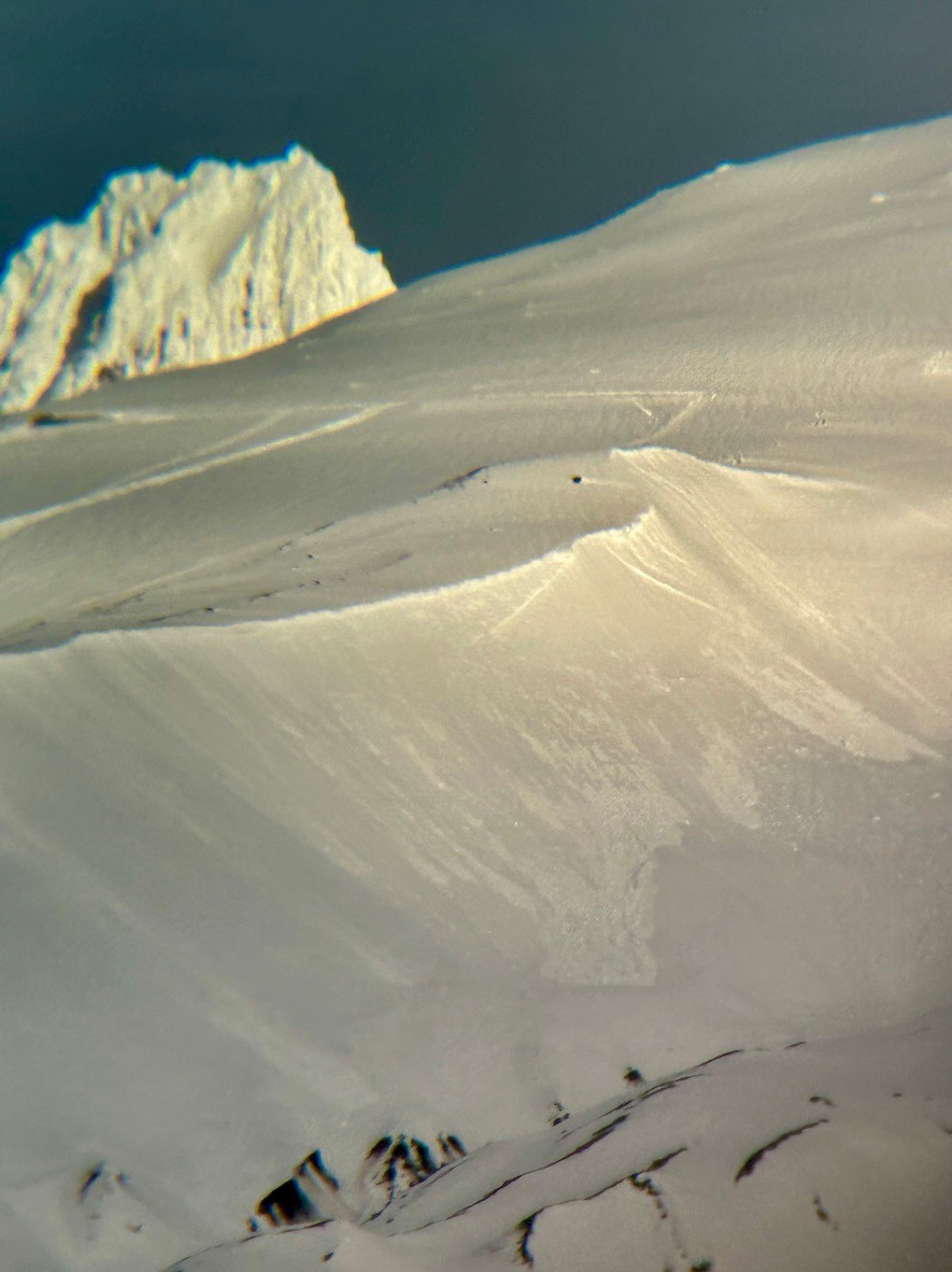
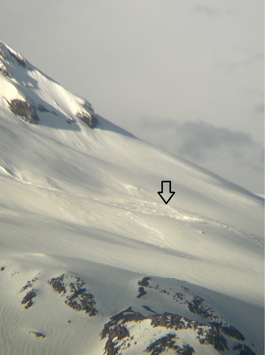
I took advantage of the nice weather to search out recent avalanche activity from our warm AR and investigate our snowpack after several inches of rain. On my drive to Timberline this morning, a small wet slab (D1.5) and numerous wet loose avalanches caught my eye along the east aspects of White River Canyon.
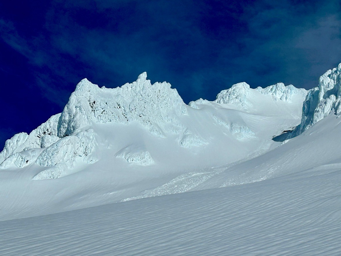
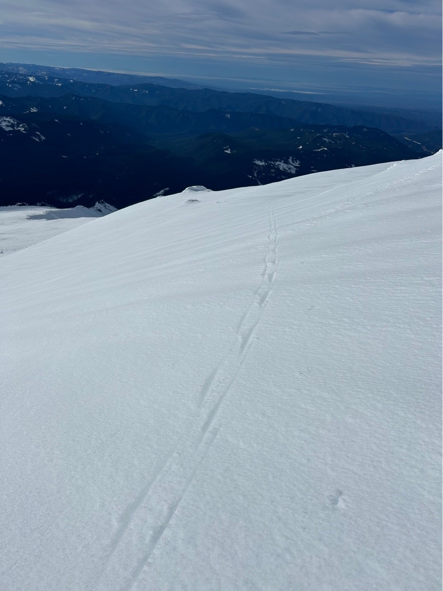
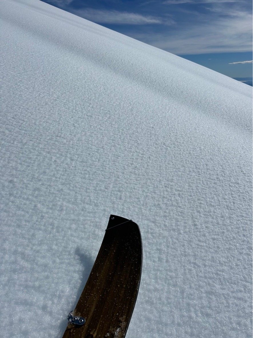
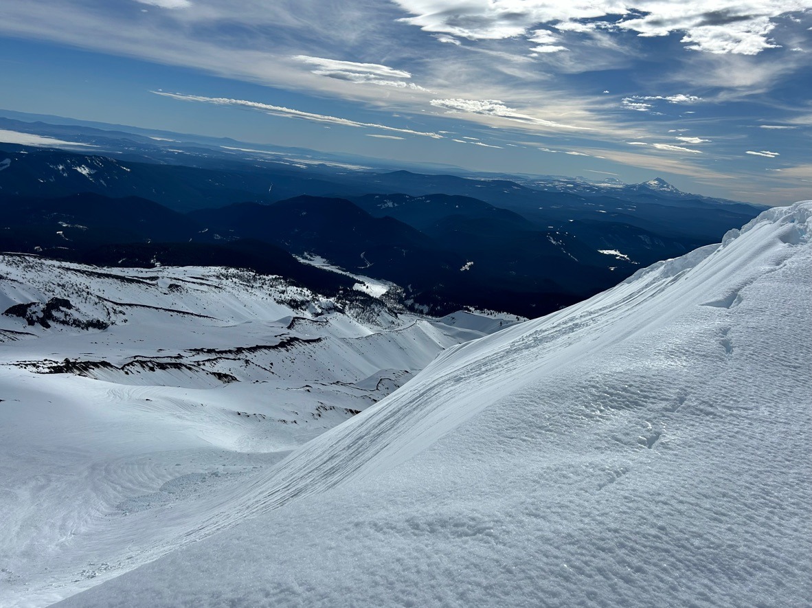
From the climber lot at Timberline, the snow was sloppy! My boot penetration nearly exceeded my knee (40 cm on average). There was plenty of wet loose debris along Salmon River Canyon from the past few days. Widespread rain runnels painted the landscape and extended to 9000 ft. However, once above 7500 ft snow surfaces started firming up and became more ski supportable. Windward, west aspects above this elevation even started getting slick but fortunately remained edgeable. Despite all the recent rain, I found surprisingly good ski quality from my high point @ 9000 ft-7000 ft. Below felt grabby.
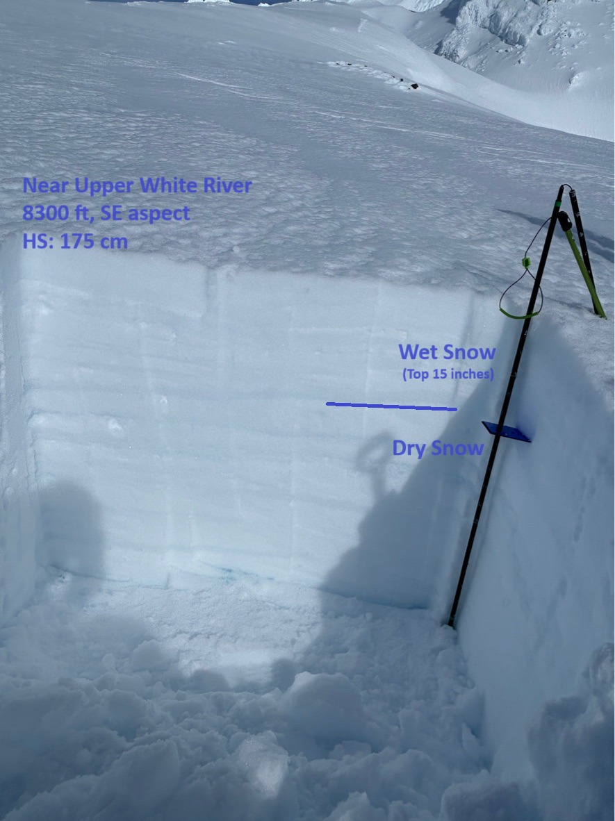
In a test profile at 8300 ft, SE aspect I unsurprisingly found a wet upper snowpack. This location often gets stripped and found a modest HS of 175 cm. I found water percolating approximately 40 cm below the surface (15 inches). Below this, remained dry.