
Quick report
Low danger all around - but should still look for pockets of wind-drifted snow up high and also warmer temps through the weekend re-initiating wet avalanche activity.
Weather
- Cloud Cover
- scattered
- Wind Loading
- previous
- Recent Snowfall
- 4-8
- Snow Avail For Transport
- none
Warm with filtered sun through high clouds. Moderate winds at ridgetop.
Snowpack
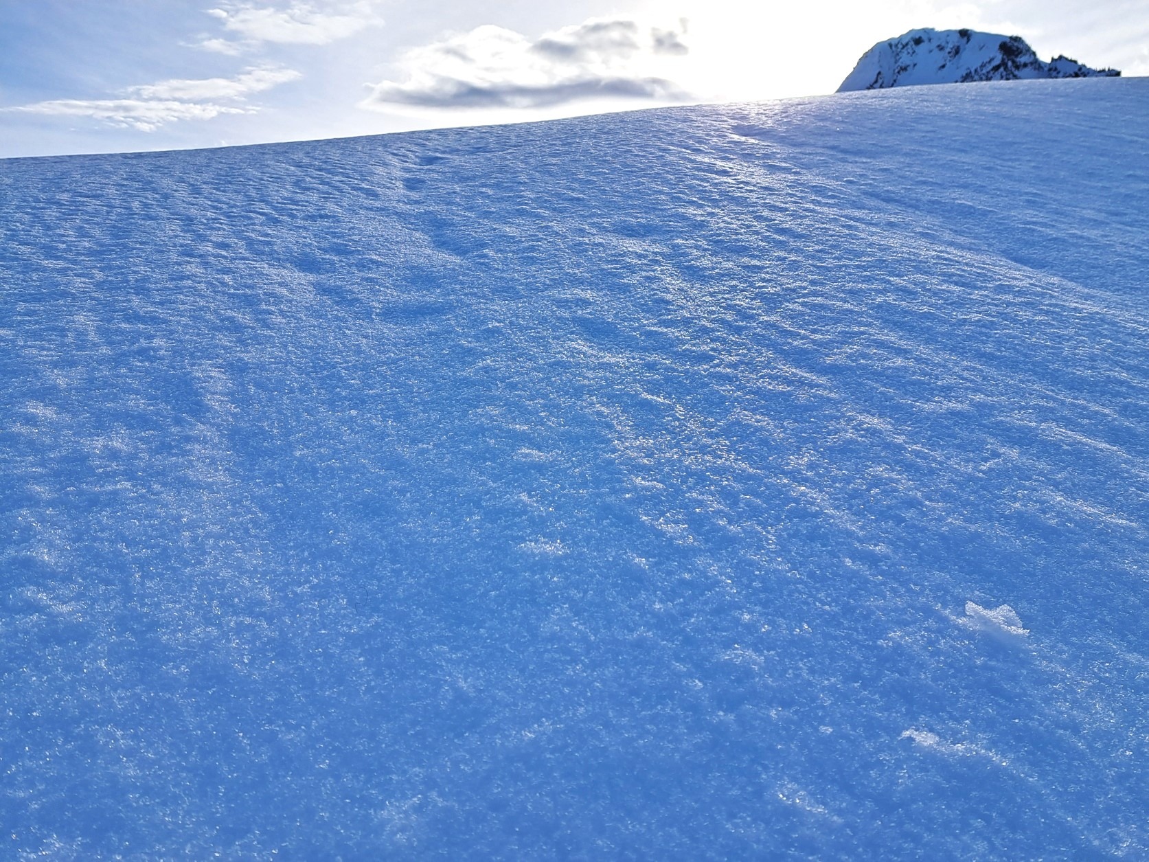
4-8cm of new snow from 12/14 - up to 15cm in wind-loaded areas at upper elevations. A thin crust capping the new snow to our high point of 6100' - suspect higher. Snow under the surface crust was moist and well-bonded to the thicker crust below. Alternating layers of moist rounds and melt-freeze crusts to the ground. Though there are no current layers of concern, will monitor deformed fragment/rounded grain layers between crusts in the upper 40cm for faceting given the current high-pressure regime.
Avalanche
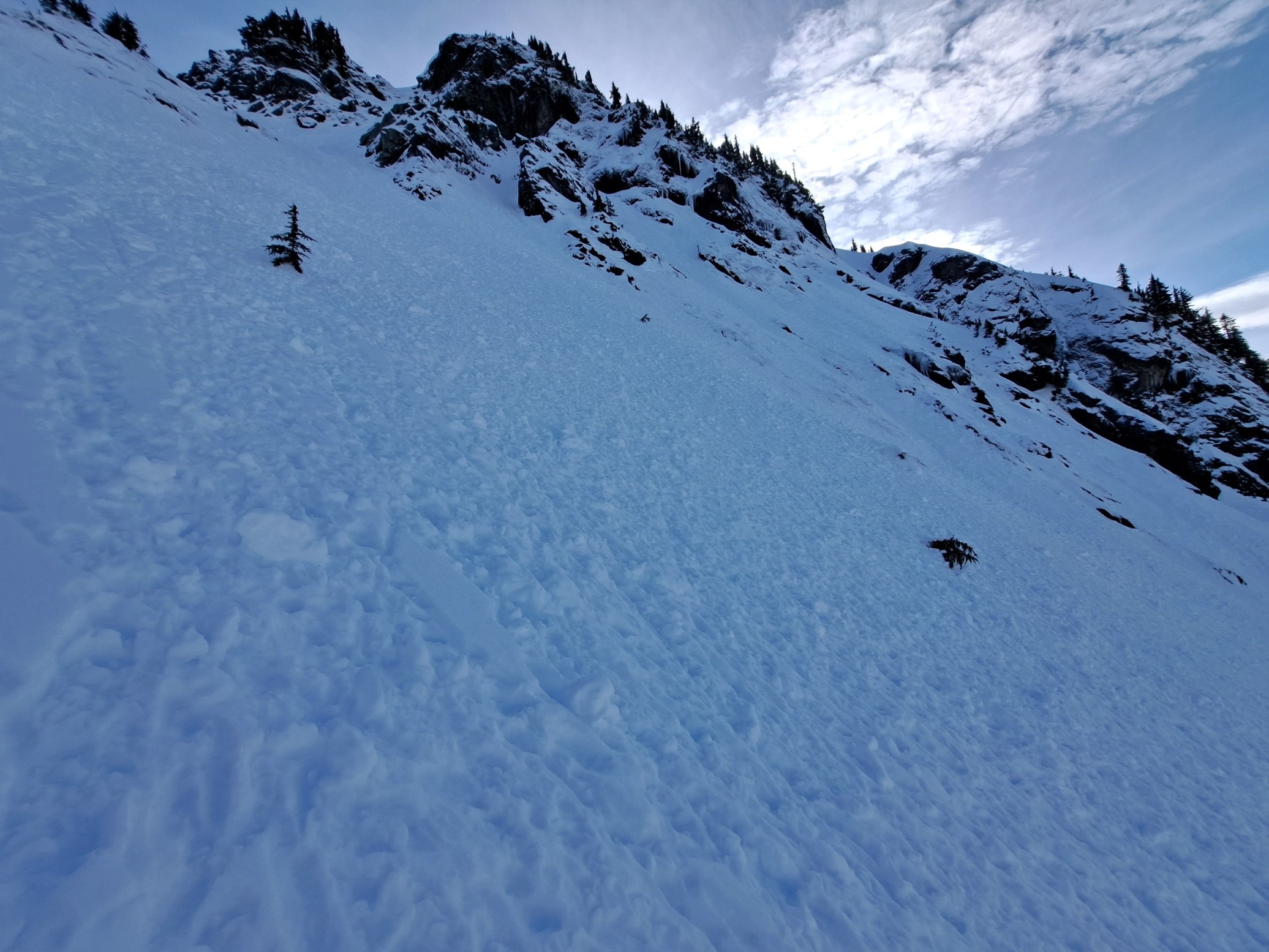
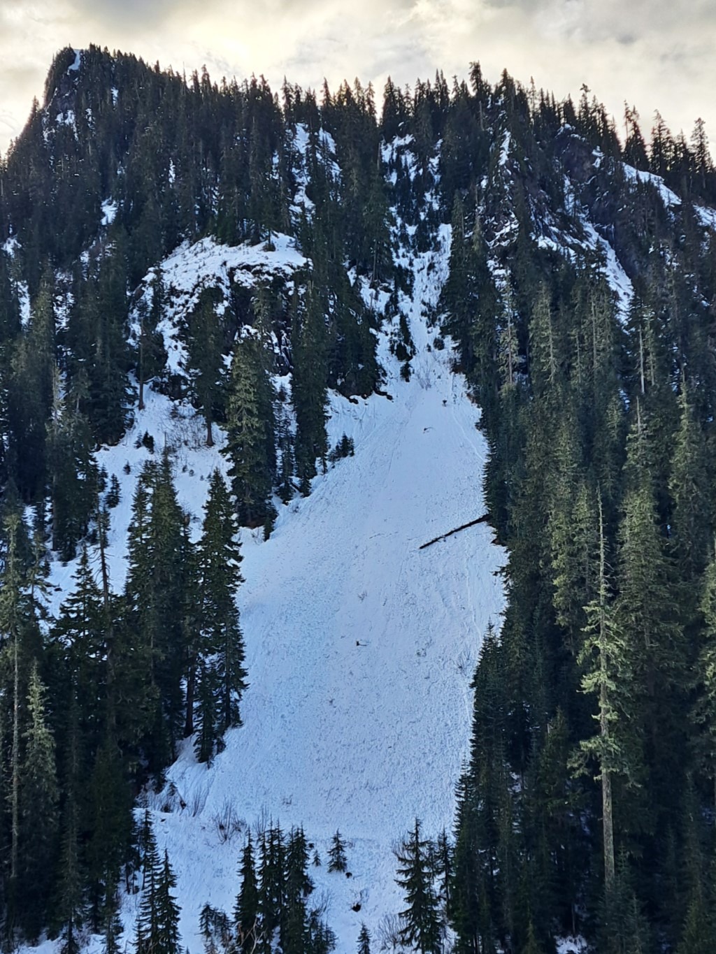
Lots of rollerballs and a few D1 wet loose all aspects and elevations from the south face of Larrabee to north-facing, low-elevation terrain. Suspect all triggered by warming affecting new snow on Thursday Dec 14th.